

TOPO Hiking | CLIMBING7.COM
Publié le

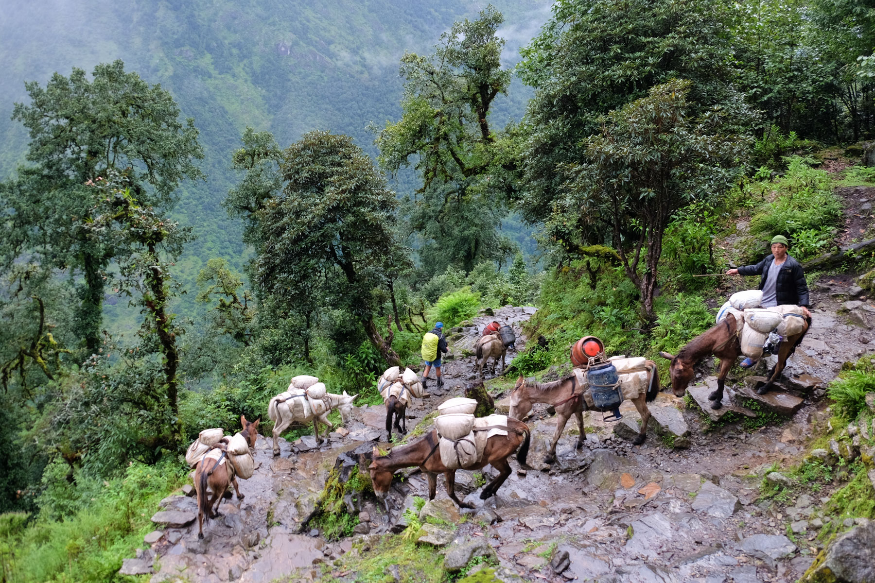
A gradual introduction. After 1 long day of 4×4 driving from Kathmandu to Phaplu at the gateway to Solukhumbu, the first 4 days of the trek take us through the "hills" that precede the real mountains in the upper Khumbu valley. An itinerary with steep gradients to cross these interminable valleys and rivers on large suspension bridges. Visits to the Taksindu monastery and the many hamlets and villages are an opportunity to (re)discover Nepalese culture and Buddhist traditions. A necessary warm-up to acclimatize and catch a glimpse of the first snow-capped peaks, even if for us it was rather rainy and foggy...
❱❱ Technical summary
Type ✦ Trek itinérant
Location ✦ Upper Khumbu
Region ✦ Everest National Park
Country ✦ Nepal
Length ✦ 69,5kms
Vertical drop ✦ 2580m
Max altitude ✦ 5645m
Difficulty ✦ D
Duration ✦ 5 days
Interest ✦ ★★
❱❱ Access to the place
❱❱ Map & topo
❱❱ Itinéraire
These first 5 days form the approach to the start of the 3-pass loop from Namche. The route crosses the Solukhumbu district and gradually climbs up the Khumbu valley, where the tumultuous waters of the Dudh Koshi river flow. The first 4 days are followed by a day of rest and acclimatization in Namche, before moving upwards.
Day 1: Phaplu 2480m - Taksindu 2930m
Day 2: Taksindu - Bupsa 2360m
Day 3: Bupsa - Cheplung 2680m
Day 4: Cheplung - Namche 3440m
Day 5: Rest and acclimatization Namche
14.5 kms, 790m d+, 330m d-, alt max 3065m
Phaplu, end of the road. We start off walking on a wide track winding through the forest, probably passable in dry weather, but again impassable due to the mud and monstrous ruts. We pass small villages and hamlets. After a long series of switchbacks, you reach Ringmu with its pretty stupa. Here the trail climbs more steeply, crossing the trail several times until it reaches the Taksindu pass (Taksindu La, 3065m). We descend on the opposite side to quickly find the monastery (worth a visit) and lodges to spend the night.
14.7 kms, 945m d+, 1570m d-, alt max 2945m
From the monastery, we begin a long, deep descent of over 1000m. We pass the village of Nunthala and, at the far end, a bridge allows us to cross the Dudh Koshi for the 1st time. We climb up the opposite side towards Jubing and after another 800m ascent, the trail passes the foot of the Pema Namding monastery and then the village of Kharikola, descending slightly. The final stretch is steep and leads up to a new ridge where the village of Bupsa is located.
17 kms, 1270m d+, 910m d-, alt max 3080m
We continue through the forest behind Bupsa, this time with a view of the Khumbu valley leading to Namche and below to the Dudh Koshi. A short climb to cross the Kari La (3080m). The trail then follows the indentation of a secondary valley to cross a torrent and return to the Dhudh Koshi via Puya. Further on, it climbs up a little and gradually as it gets deeper and deeper. We leave Lukla above us and head straight for Cheplung for the night.
16.1 kms, 1450m d+, 710m d-, alt max 3440m
Last stage to Namche, starting point of the loop. A paved path winds its way up the right or left bank of the Dudh Koshi, with superb suspension bridges to cross. A succession of small villages and guest houses. We pass Pakhding. The valley becomes more incised and we finally climb to Monjo, where we find the entrance to Sagamartha National Park at a gap. On the other side, the road descends and we cross a large bridge, then pass Jorsalle and follow the river. Finally, at the confluence of the Bothe and Dudh Koshi rivers, the ascent to Namche begins. A superb, aerial suspension bridge, the old one and the new, even higher one, and a rather steep, winding path through the forest lead to the bottom of Namche, the Sherpa capital, built at over 3400m in a sort of natural amphitheatre.
A day of rest and acclimatization. It's also an opportunity to stock up on trekking gear, given the number of mountain stores on m2. Take a hot shower and enjoy the wifi in the bars. Above that, it'll be rarer...
Leave a Reply