


TOPO Hiking | CLIMBING7.COM
Publié le
 Partager sur WhatsApp
 Partager sur Twitter
Partager sur Instagram
Partager sur Twitter
Partager sur Instagram

 Partager sur Facebook
 Imprimer le topo
 Laisser un commentaire
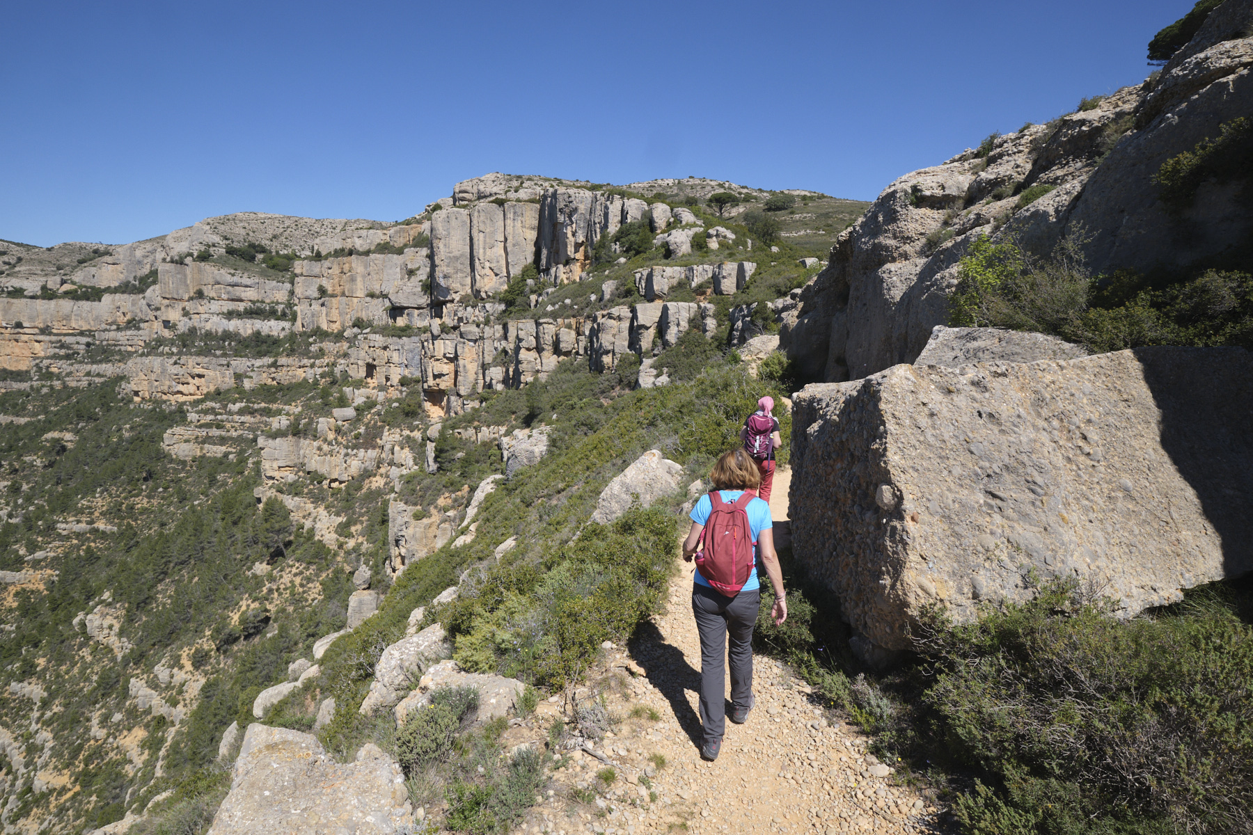
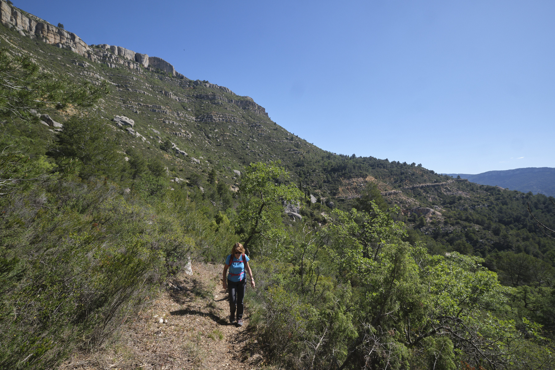
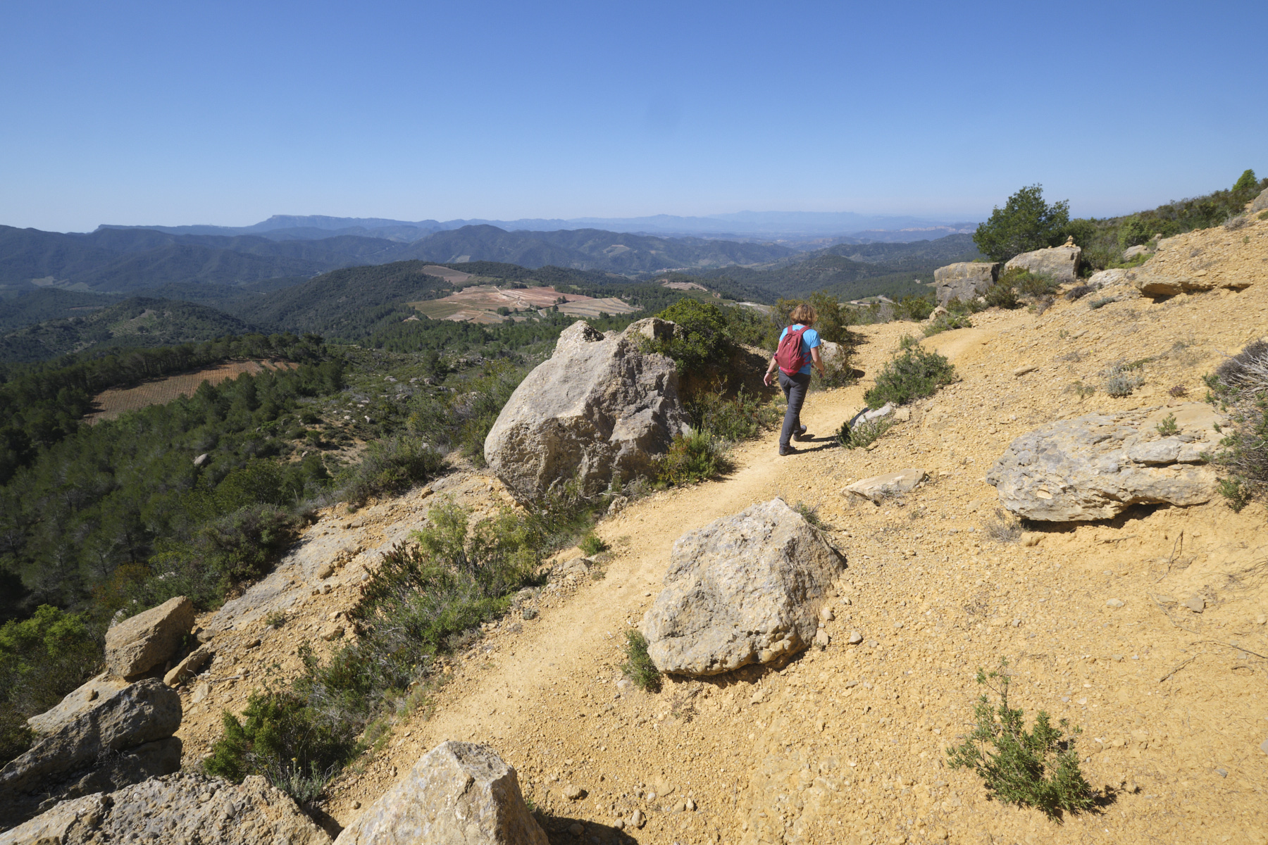
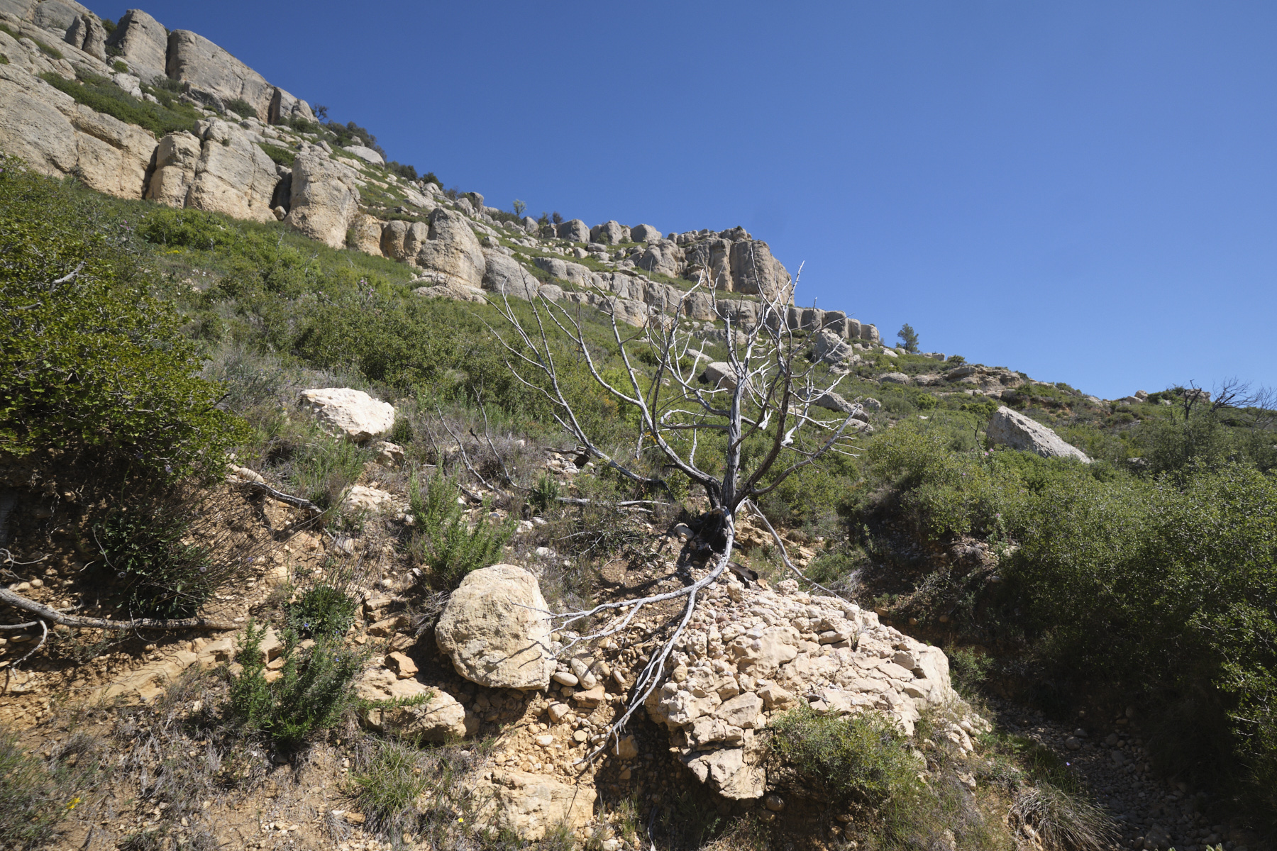
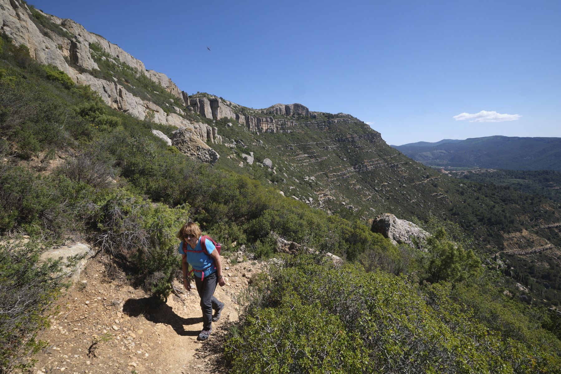
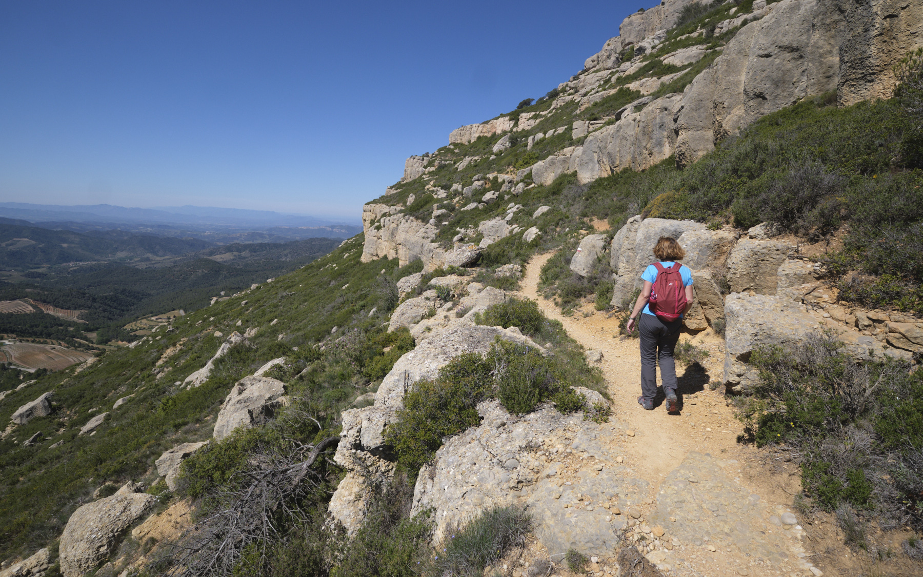
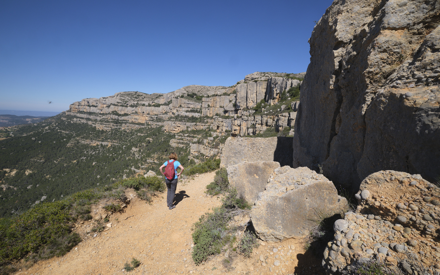
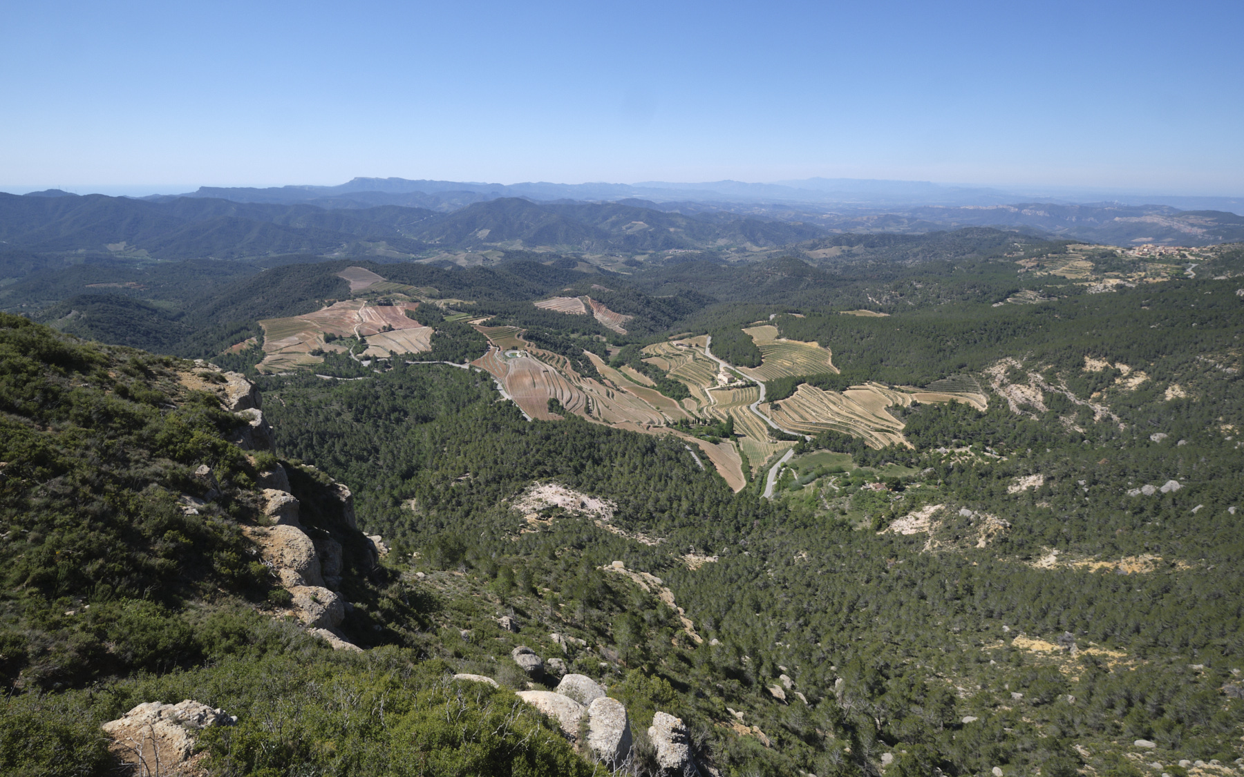
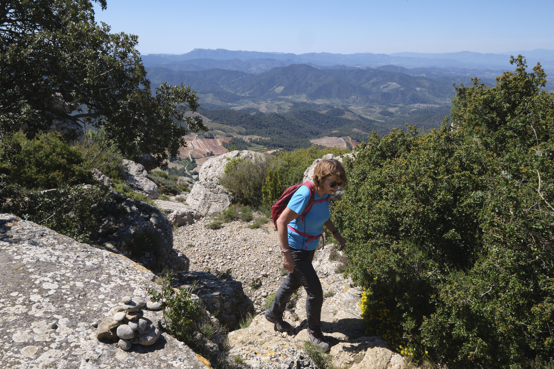
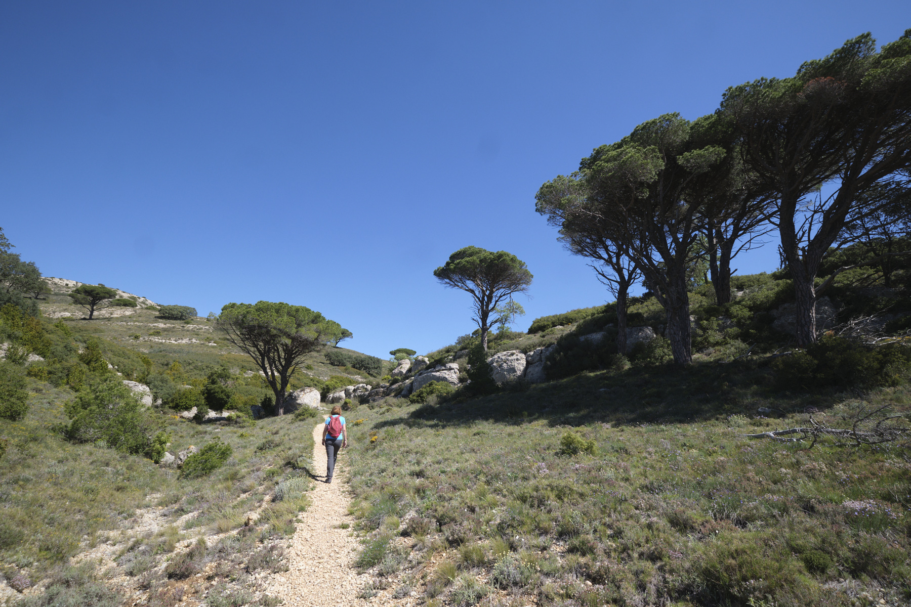
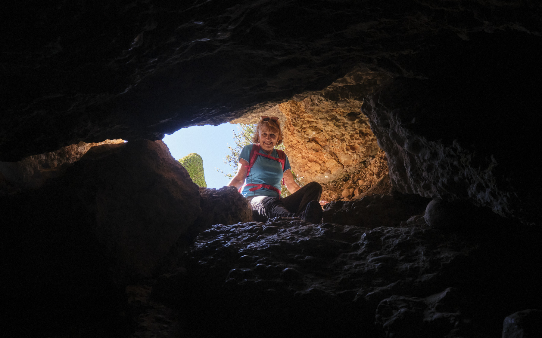
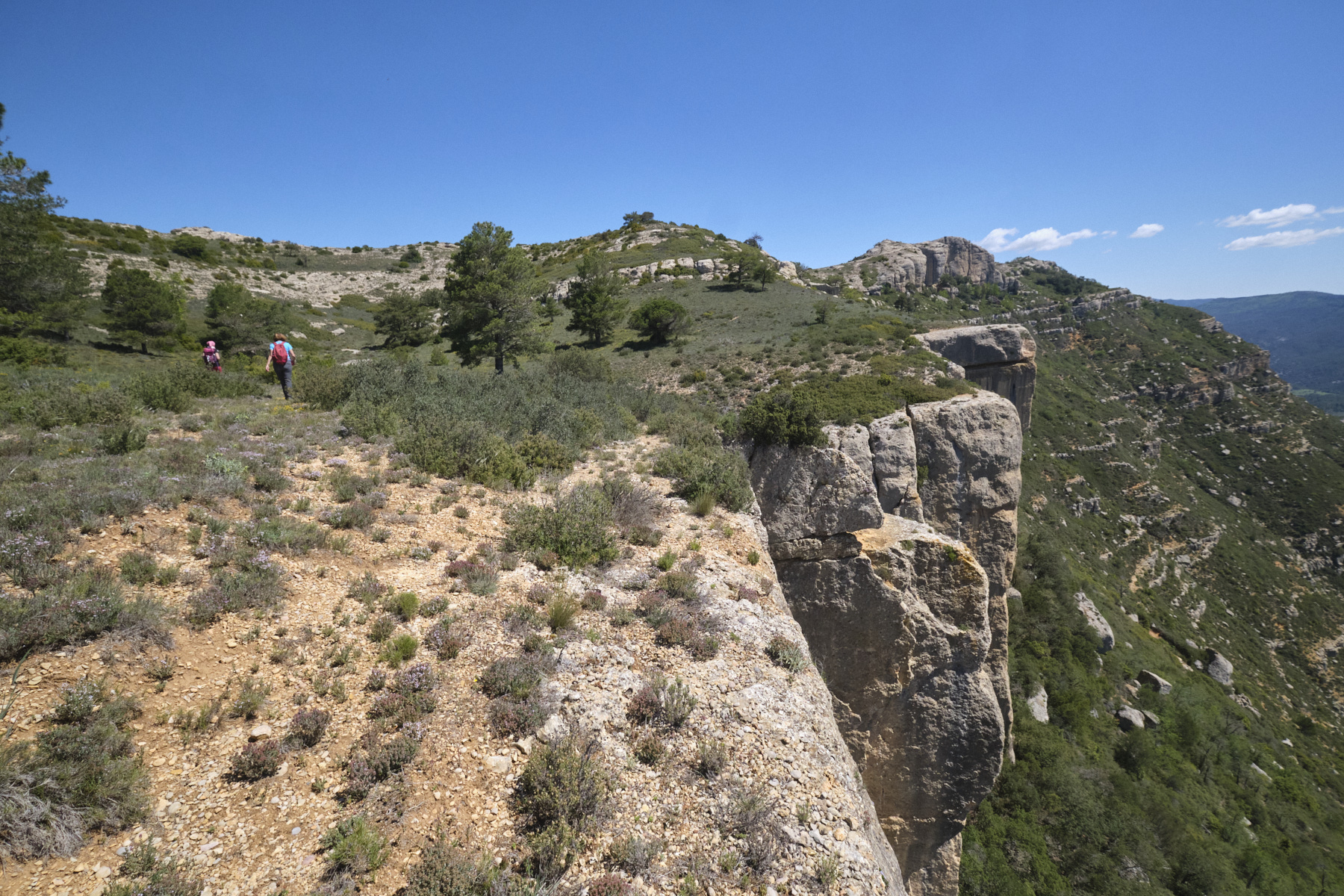
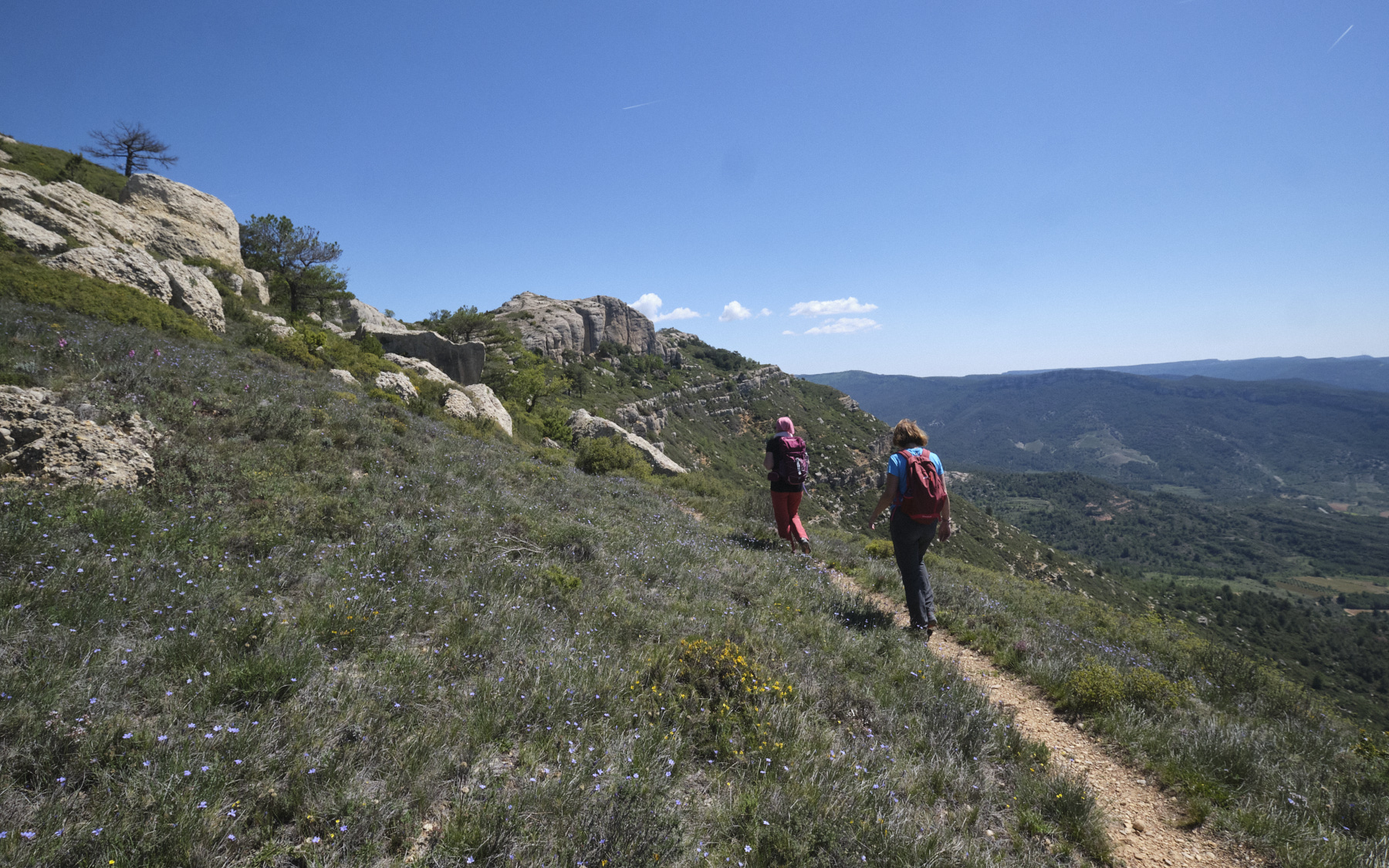
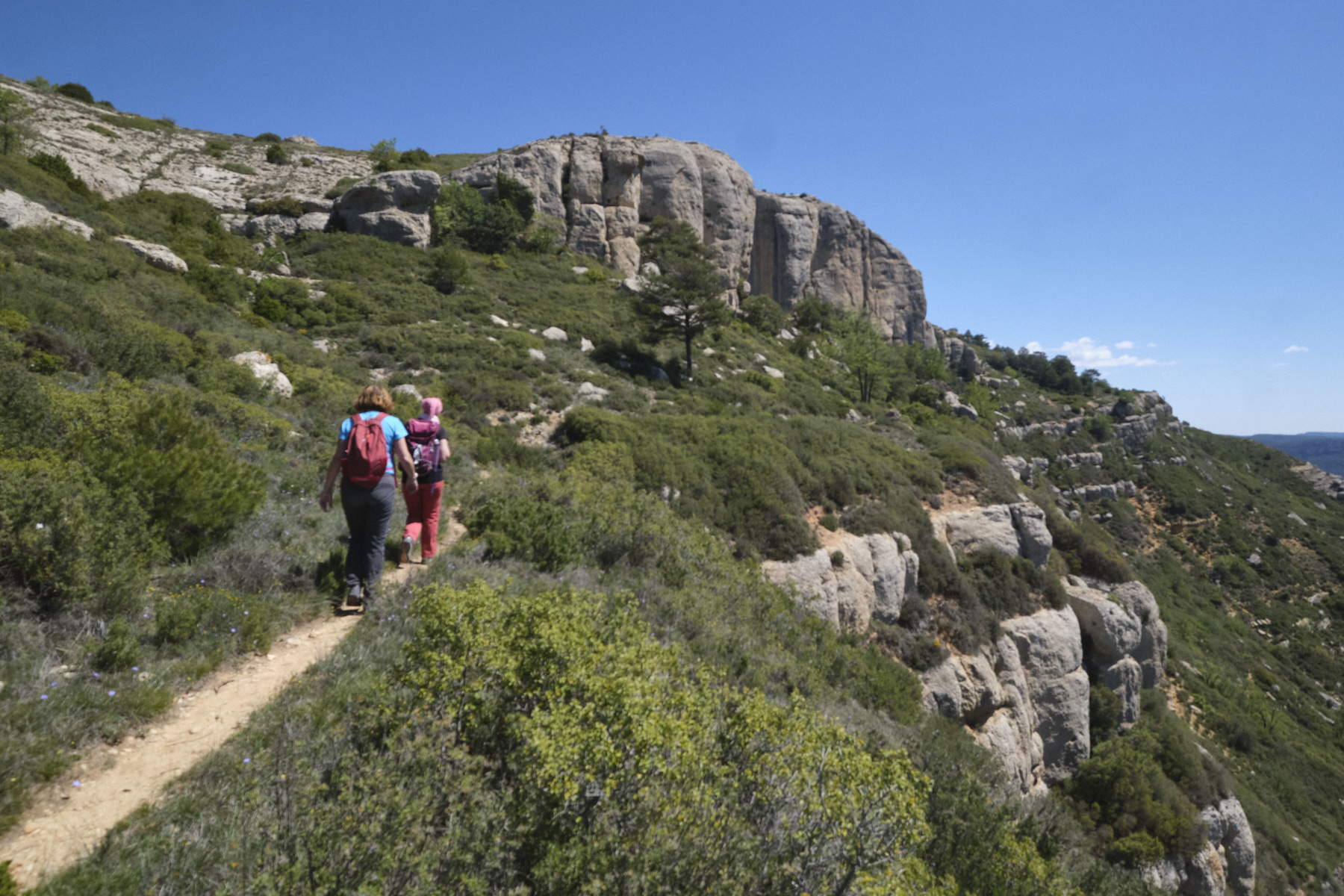
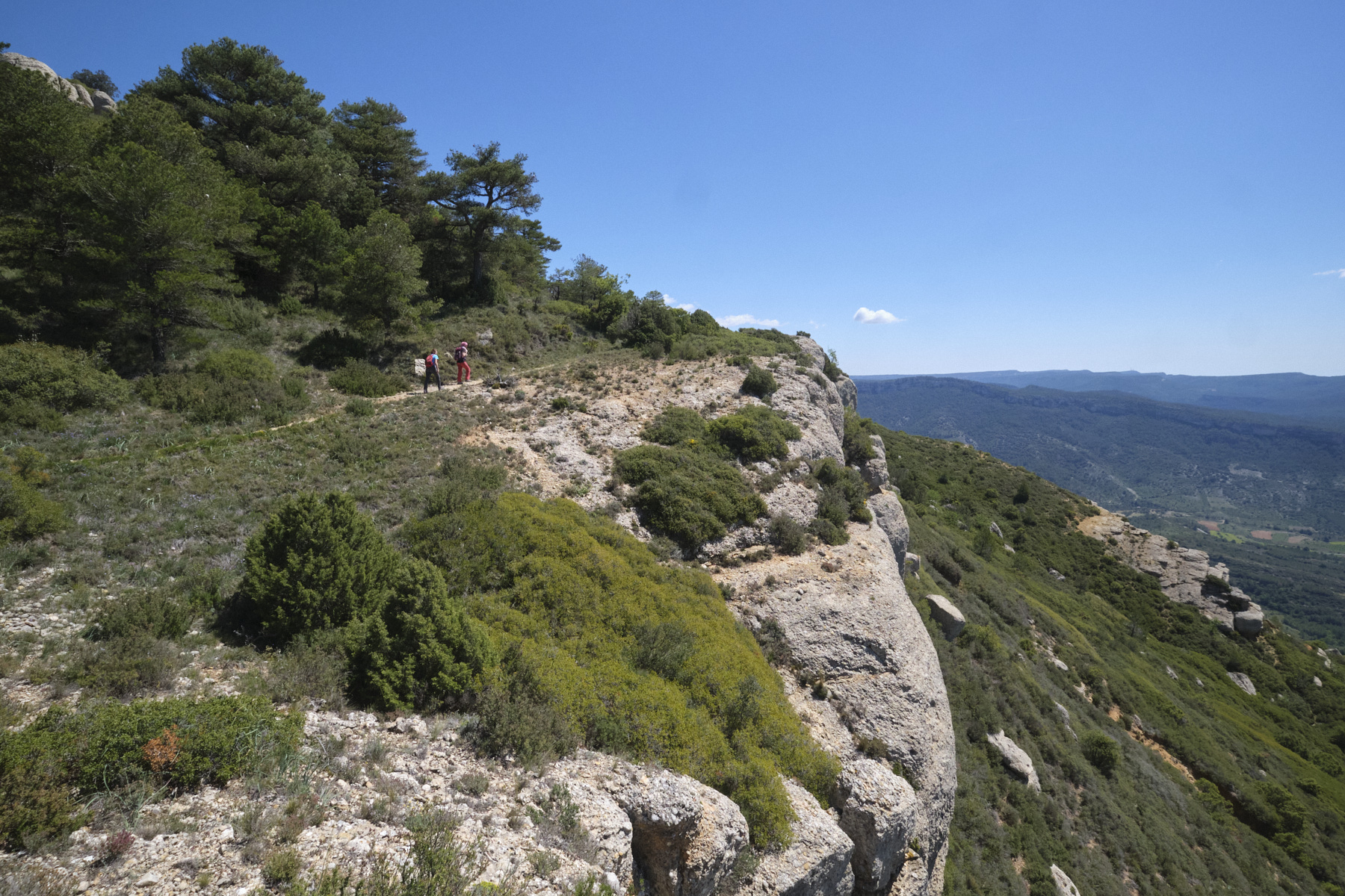
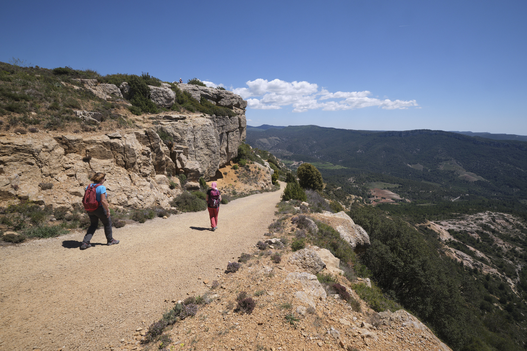
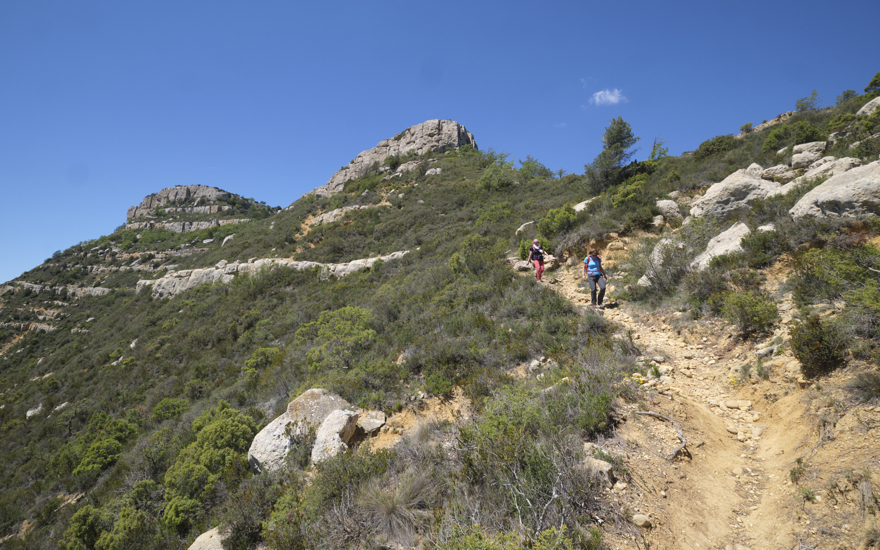
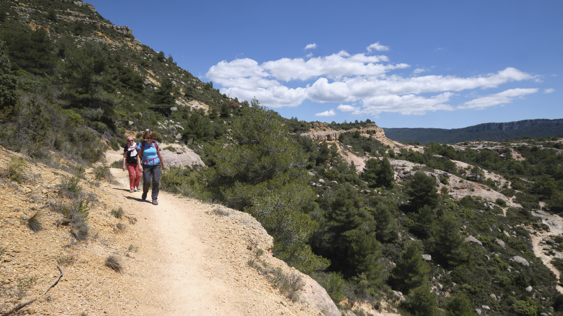
Close to Siurana and the Prades mountain range, the Serra de Montsant stretches from east to west like a ribbon of sculpted cliffs. The loop proposed here covers an eastern section of the Serra, above Sant Joan de Codolar, following the upper slopes of the Cingles de Sant Joan. A very accessible itinerary, but with a few aerial or more technical passages. Preferably done outside the summer season, as the heat is already considerable in May. You can see the Mediterranean Sea and the village of Siurana just opposite, which is also well worth a visit.
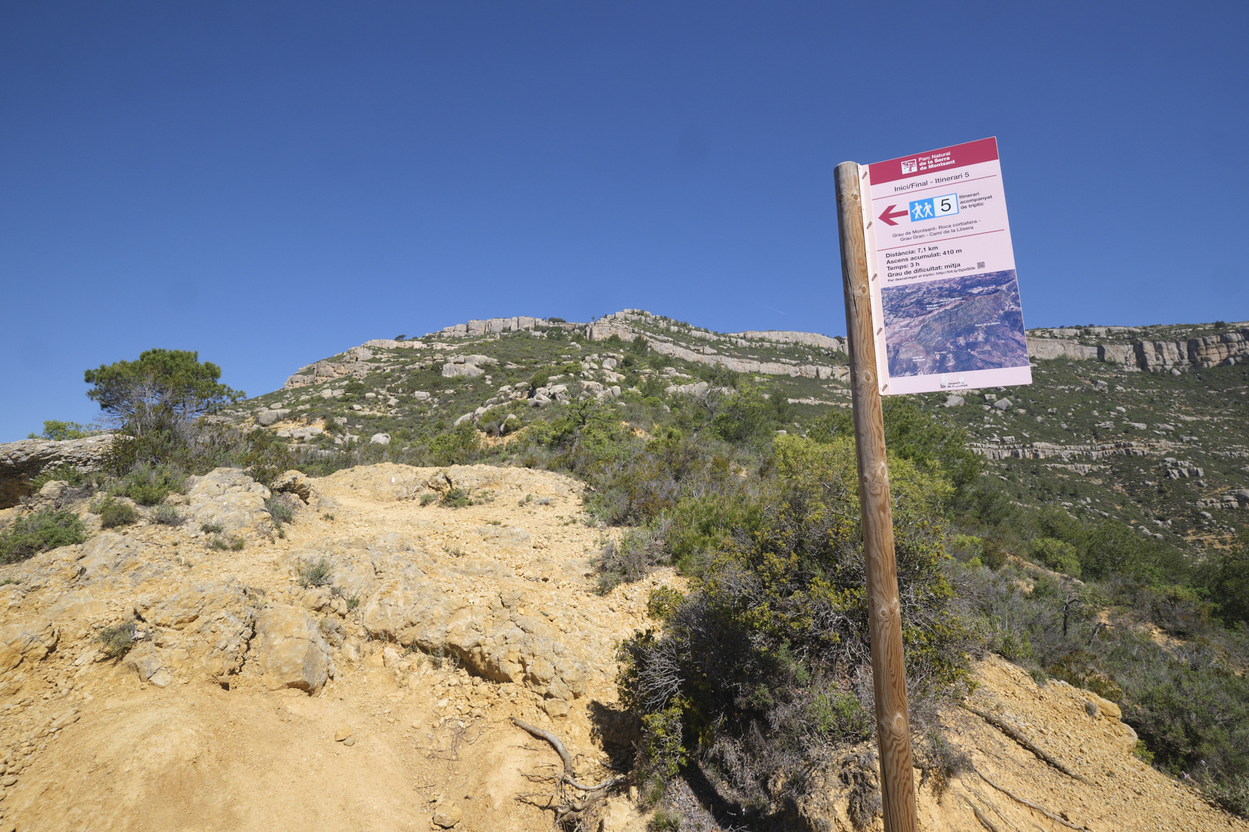
❱❱ Technical summary
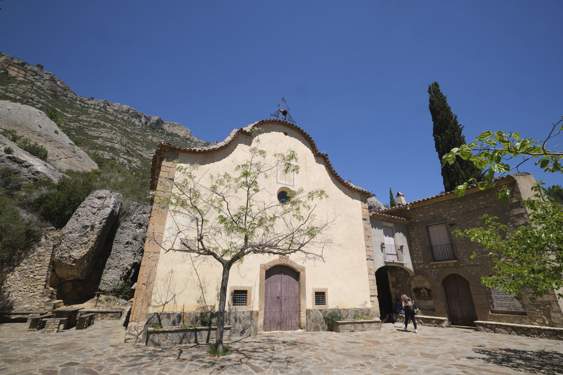
► S tarting point: Sant Joan de Codolar, Montsant, Catalunya, Spain
► Type of route: loop hike
► Distance: 8 km
► Cumulative elevation gain: +400 m
► Cumulative negative elevation gain: -400 m
► Estimated total time: 3h to 4h
► Min and max altitude: 750 m / 1110 m
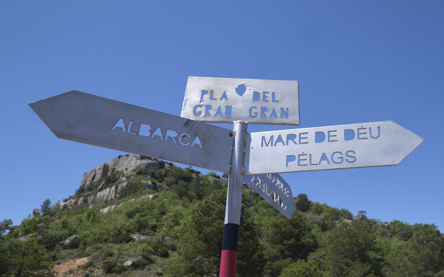
► Marking: GR at start and return, unmarked trails on the vires
► Equipment in place: none
► Equipment required: GPS track may be useful
Difficulties:some aerial passages on the ledge, slightly technical descent on the return on unstable ground.
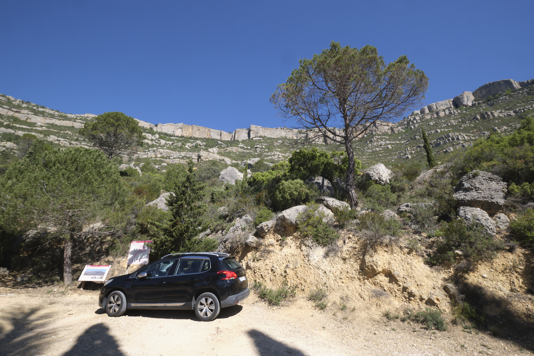
❱❱ Access to the place
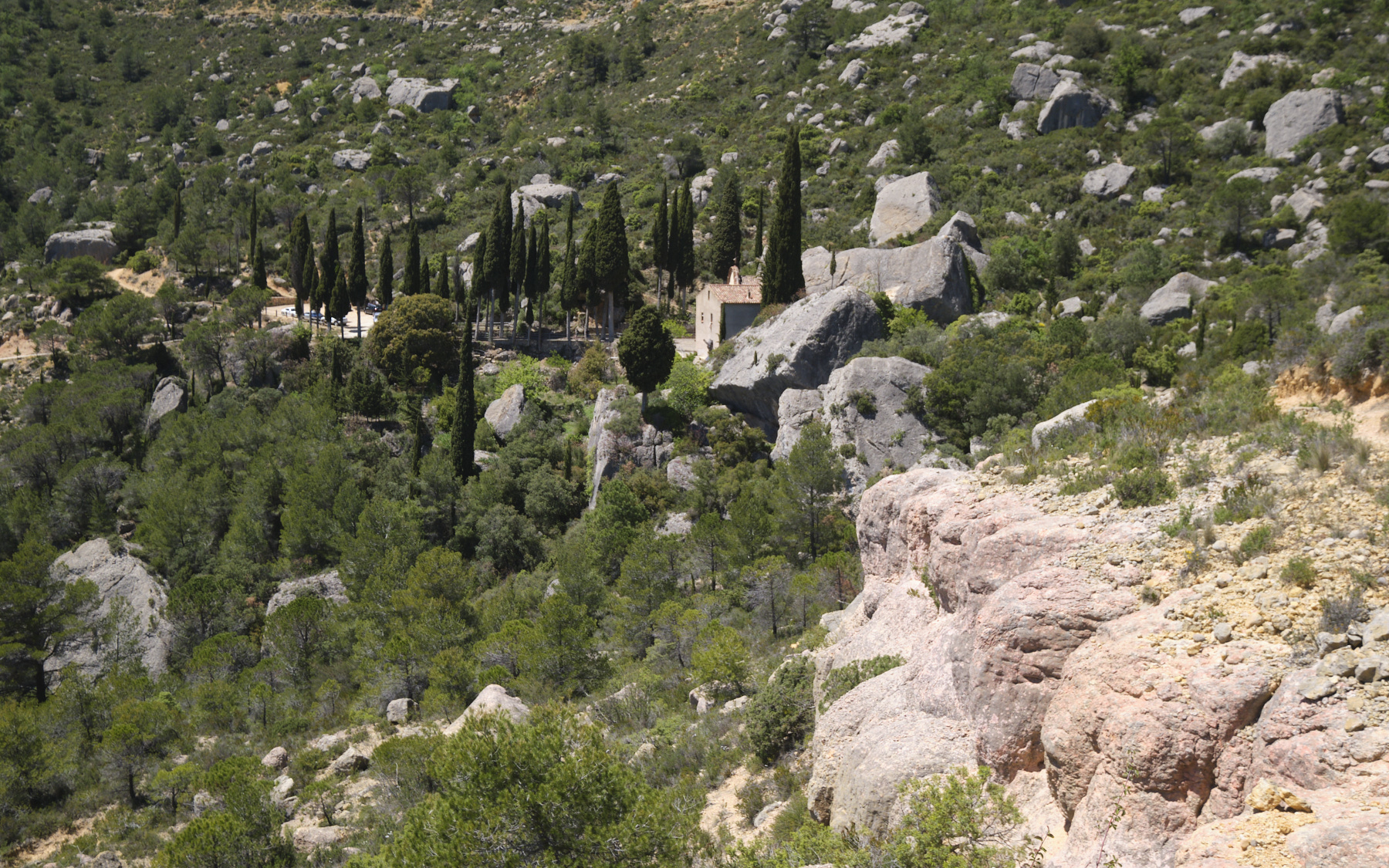
Go to Cornudella de Montsant, northwest of Reus and Tarragona, near Siurana. From here, take the mini road to the hermit church of Sant Joan de Codolar, located at the foot of the southern slope of the Serra de Monsant (very narrow and a bit bumpy, but passable with a normal vehicle).
❱❱ Map & topo
❱❱ Itinéraire
Topo of more challenging and aerial routes on the Sera de Montsant on Pascal Sombardier's website


Leave a Reply