


TOPO Canyoning | CLIMBING7.COM
Publié le
 Partager sur WhatsApp
 Partager sur Twitter
Partager sur Instagram
Partager sur Twitter
Partager sur Instagram

 Partager sur Facebook
 Imprimer le topo
 Laisser un commentaire

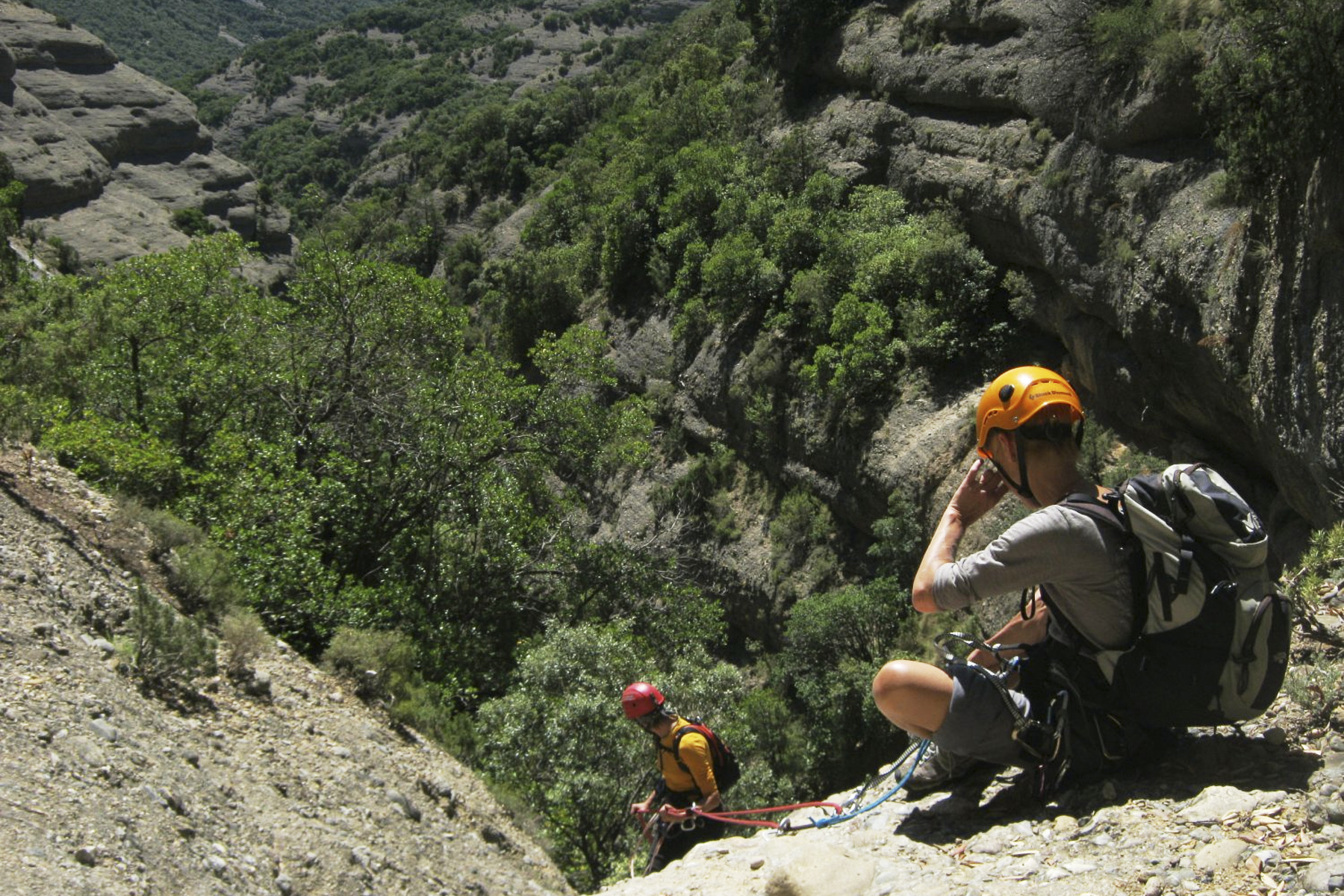
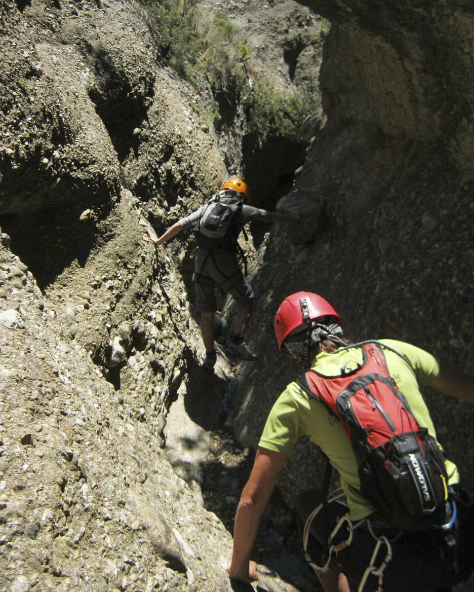
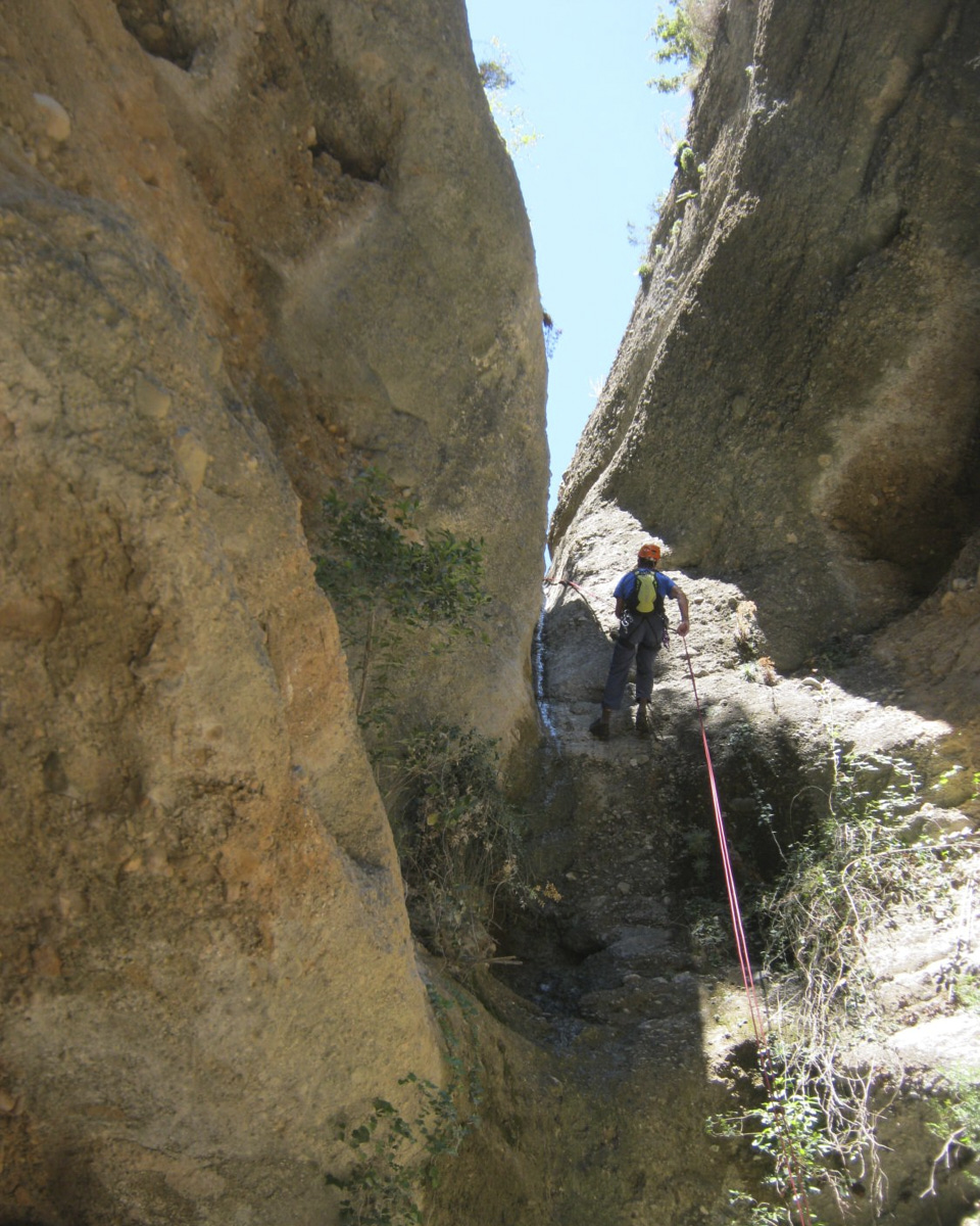
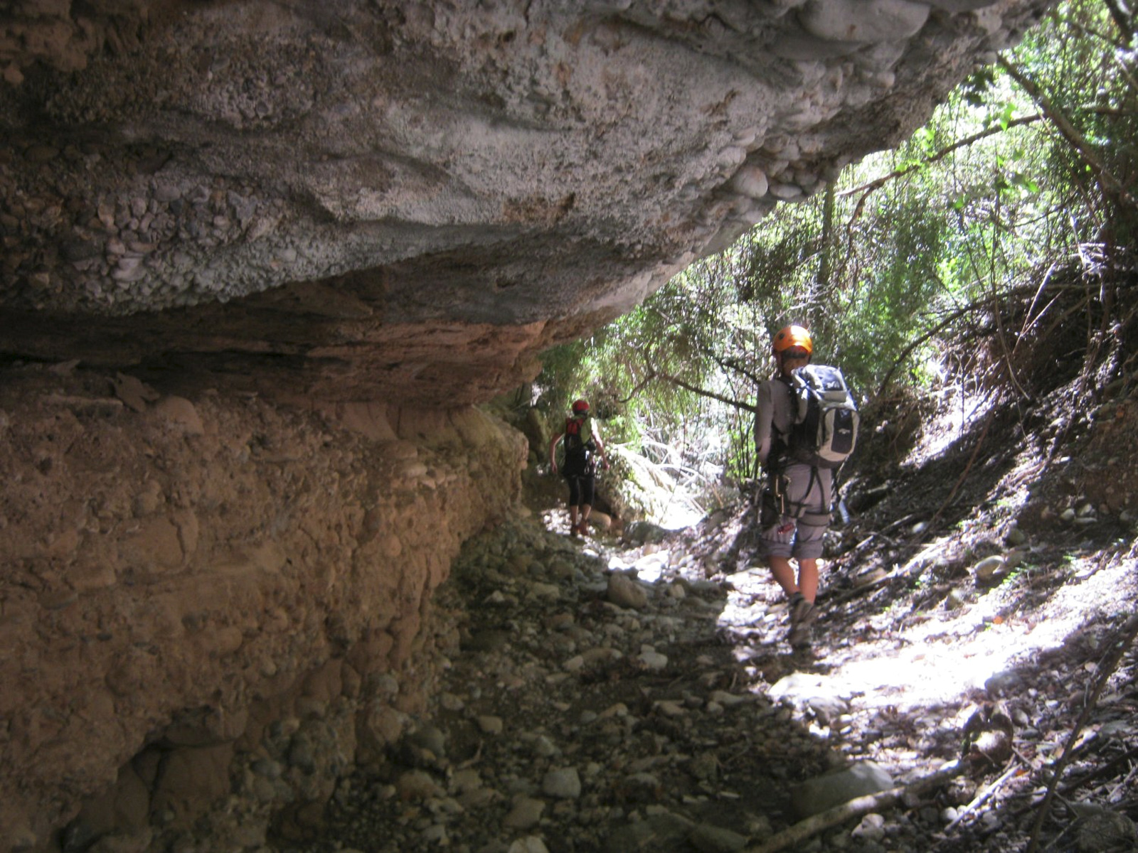
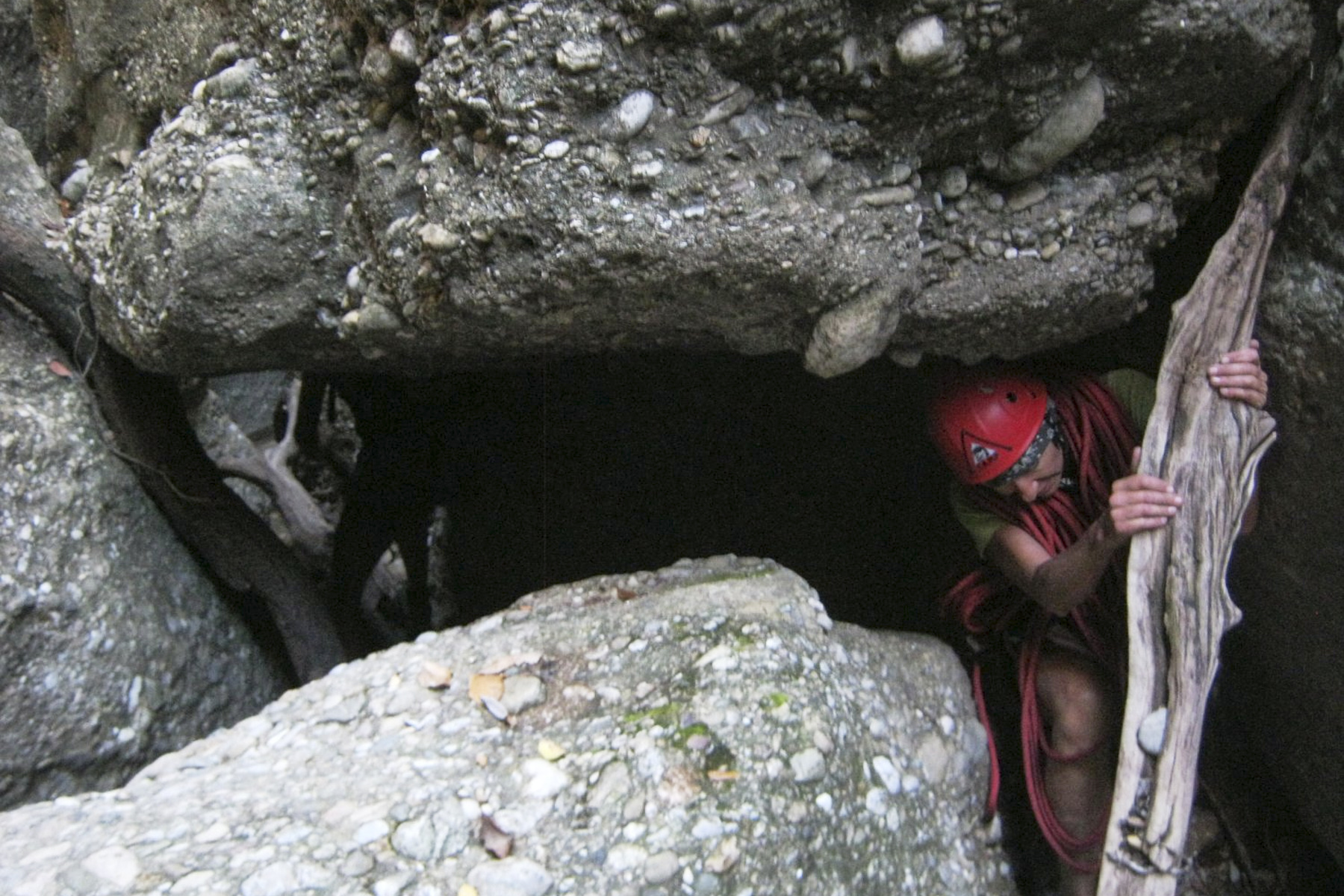
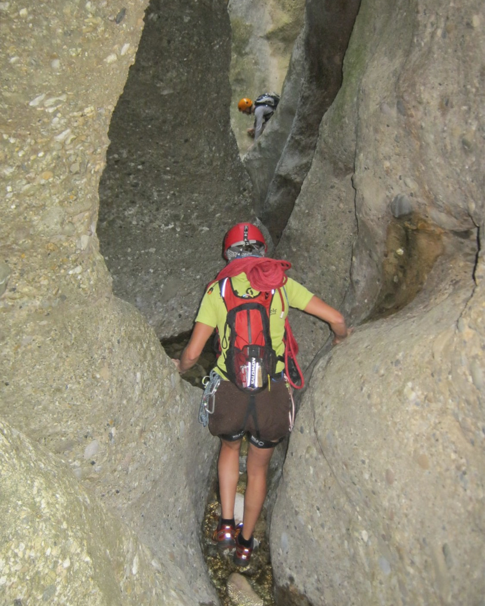
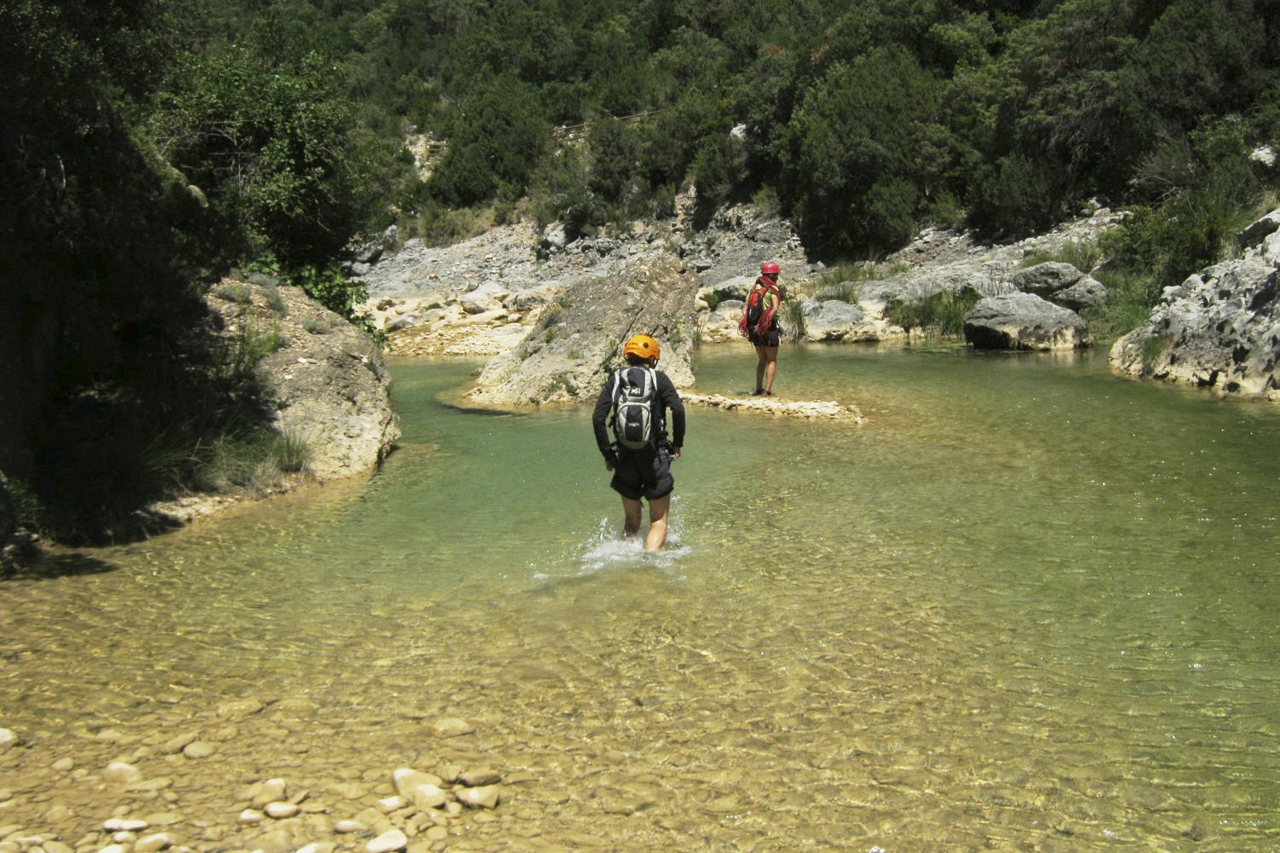
Nicknamed the "Barranco de las culebras" (snakes present in the final sector at the time), this barranco lies just before the village of Almunias and ends in the tranquil waters of the rio Balces, just behind it. Accessible and without great difficulty, the descent is superb from the large initial cirque, passing through a small wild canyon, the estrechos and then the impressive final sector of the oscuros, with a few well-filled potholes. This is a dry canyon all year round, except for the final full potholes, but beware of the Balcez flow for a smooth return. The loop is quite long, but the atmosphere and beauty of the site are well worth the detour.
❱❱ Technical summary
Location ✦ Almunias de Rodellar
Region ✦ Sierra de Guara, Aragon
Country ✦ Spain
Type ✦ Torrential canyon
Vertical rise ✦ 190m
Difficulty ✦ v4-a1-IV
Max abseiling ✦ 28m
Duration ✦ 4h to 4h30
Distance ✦ 1200m
❱❱ Access to the place
From Leida (A2) continue towards Huesca. Just before Huesca, turn right towards Abiego, then Bierge, and continue towards Rodellar. Just before reaching the village of Almunias de Rodellar (km 9), there's a sign indicating "Barranco Fondo 840m". Park just after it on the track to the left. The trailhead to the barranco is also signposted here.
❱❱ Map & topo

❱❱ Itinéraire
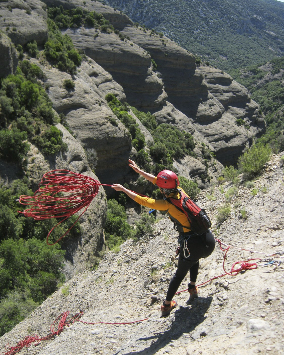
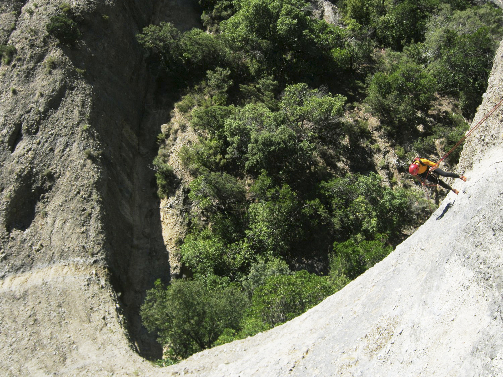
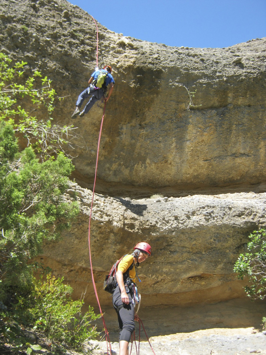
Follow the path and you're soon at the top and edge of the starting cirque. The first abseil is on the right, under a shrub (rope access).
The canyon was opened in 1987, and the equipment is correct. A wetsuit is not necessary in summer. A 2x30m rope is ideal.
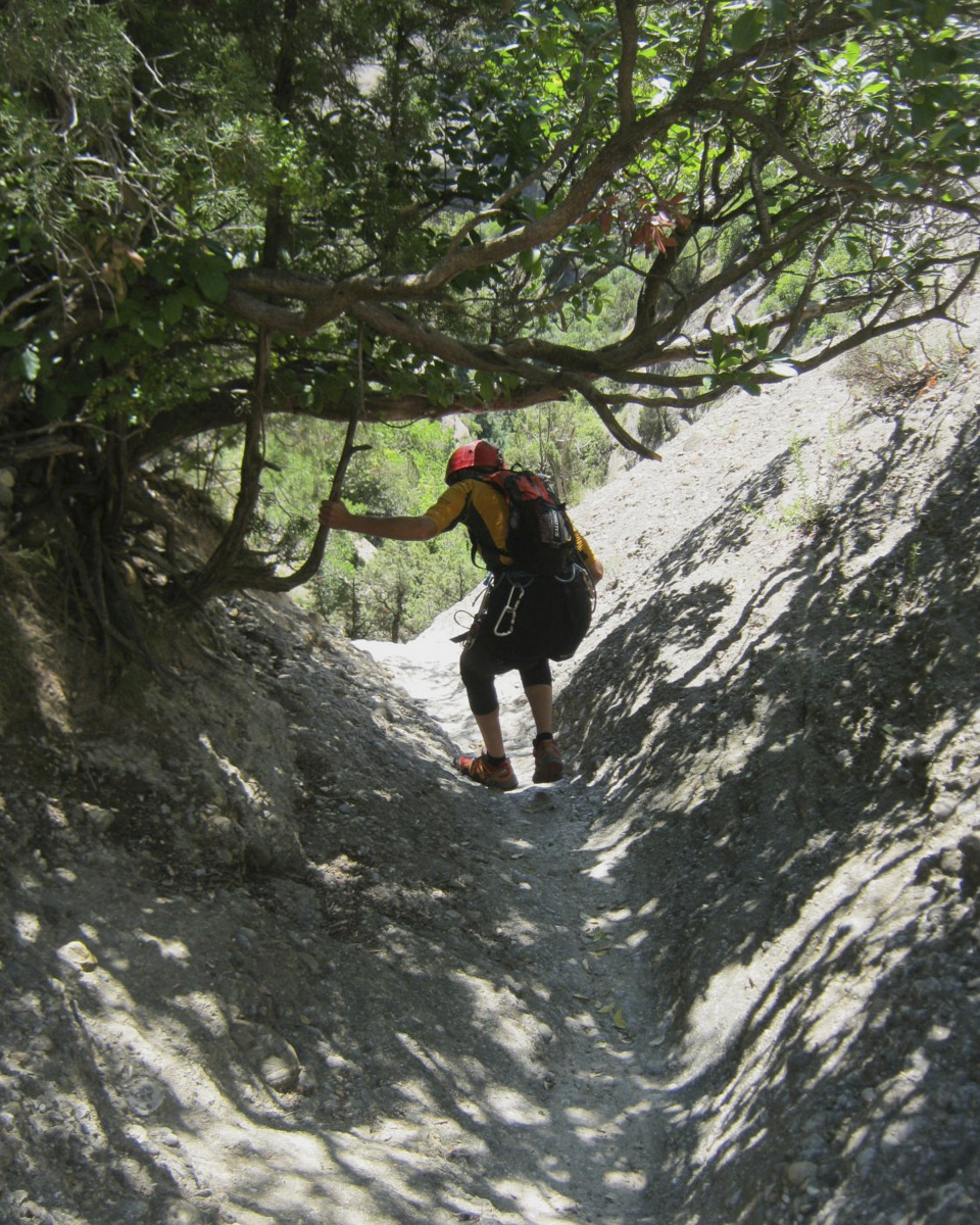
Go left up the Balces. After 2 large bends (easy to negotiate with your thighs), you come to the exit of the barranco de los Oscuros del Balces. There's a large, deep basin and a small iron bridge. Follow the path that climbs straight ahead, with a wooden fence to your left. It's quite long, but you eventually reach a small pass at the very top of the ridge, level with the track where you left the car, but much higher up. Descend to the left for 30′ to get back to the starting point.
Topo of barranco Fondo on Descente Canyon


Leave a Reply