


TOPO Canyoning | CLIMBING7.COM
Publié le
 Partager sur WhatsApp
 Partager sur Twitter
Partager sur Instagram
Partager sur Twitter
Partager sur Instagram

 Partager sur Facebook
 Imprimer le topo
 Laisser un commentaire
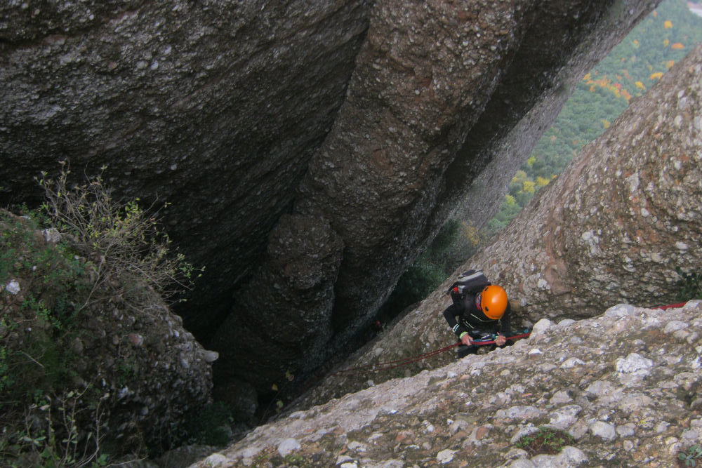
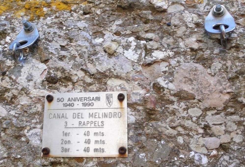
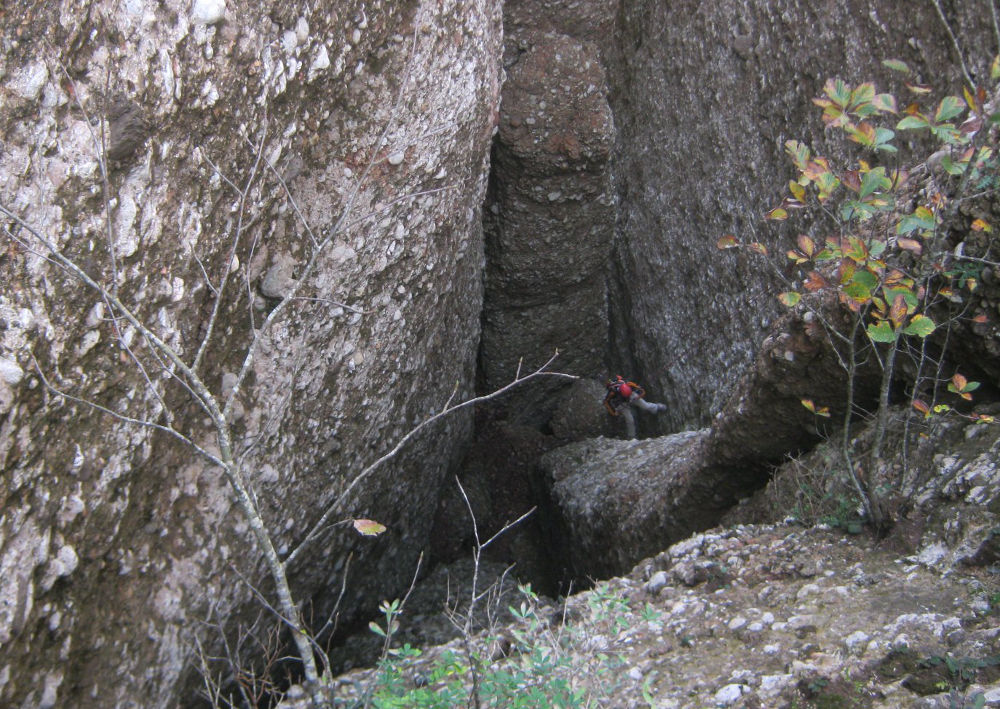
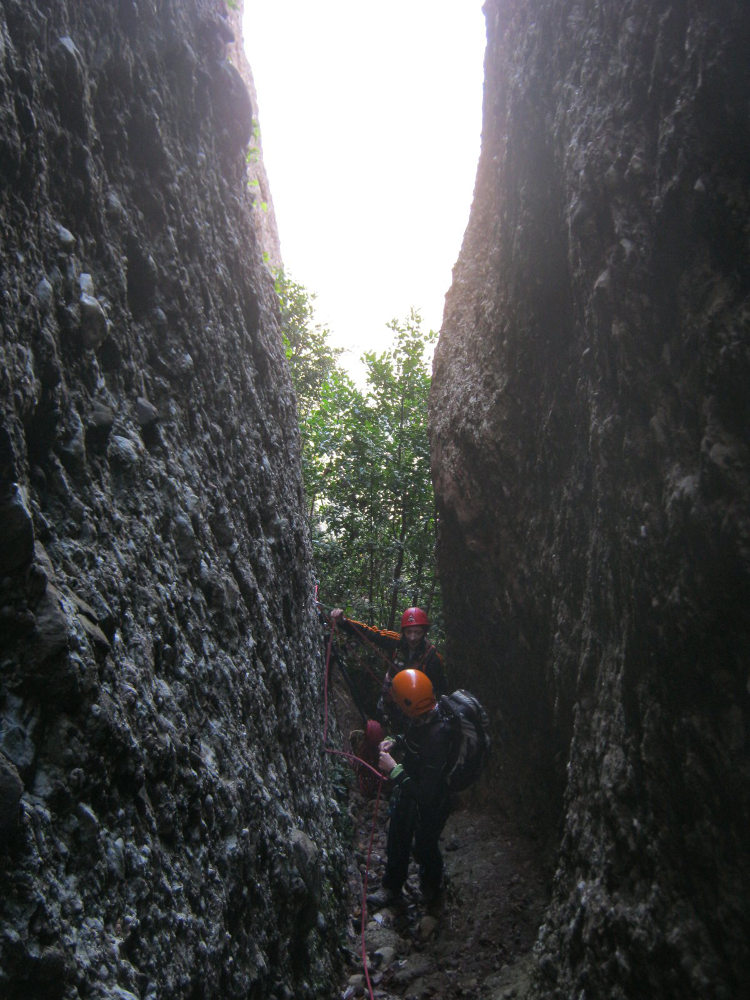
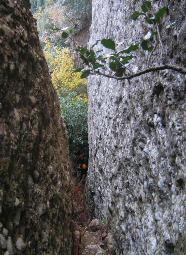
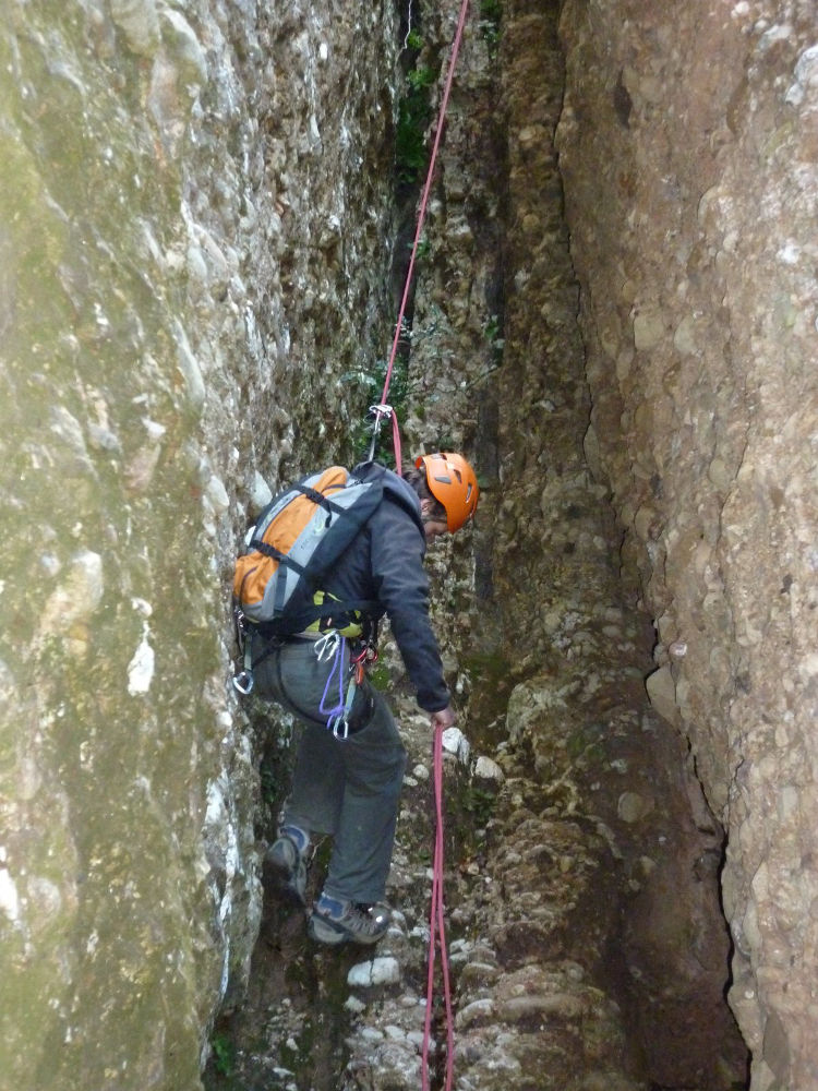
This route, like its neighbor on the Canal del Lloro, has been equipped by the GAM (Grup d'Alta Muntanya) to enable rapid descent from the upper zone of the Frares Encantats to join the path along the foot of the great cliffs of the north face. This makes for a nice alternative loop to the Agulles traverse. The canal lies exactly between the aiguille de la Nina (west) and the aiguille de la Boleta Foradada (east) on the cami d'Alta Ruta dels Frares. A smaller needle in the shape of a long pointed boudoir (Melindro) is stuck there, hence the name of the route. 3 very well-equipped abseils, the 1st of which was very aerial, and the following ones were very steep, resulting in a few cold sweats when it came to hauling in the rope: stuck, not stuck? The return via the north face and the famous Cadireta is also well worth the detour.
❱❱ Technical summary
Location ✦ Montserrat
Region ✦ Catalunya
Country ✦ Spain
Type ✦ Dry canyon
Vertical rise ✦ 120m
Difficulty ✦ v4-a1-II
Max abseiling ✦ 40m
Duration ✦ 2h30 to 3h
Distance ✦ 1600m
❱❱ Access to the place
To the Can Maçana pass, at the westernmost point of the Montserrat massif. From Barcelona, take the A2 and exit at Hotel Brucs (no. 572), after the Bruc exit. Immediately afterwards, turn off towards Montserrat and the monastery to reach the Can Maçana pass after a few hairpin bends. Park in the parking lot below.
❱❱ Map & topo
❱❱ Itinéraire
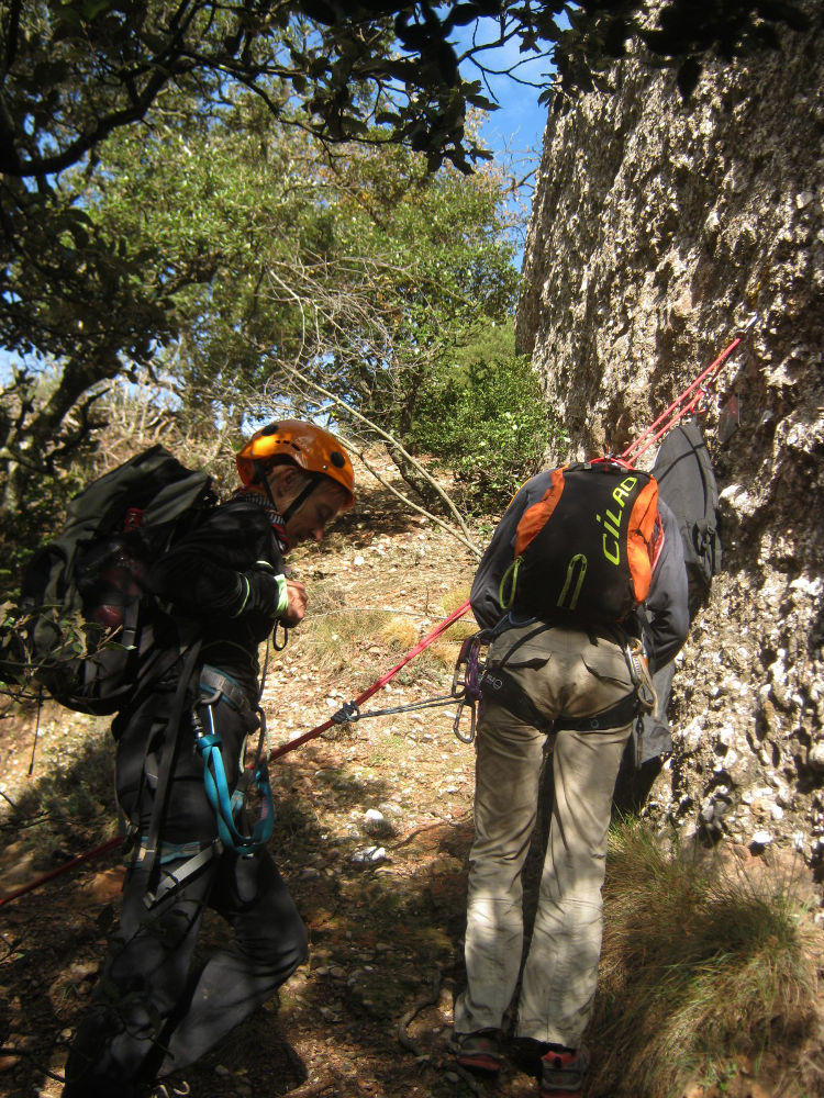
The canal was equipped in 1990 and the existing equipment is very good (chain bolts). The route faces due north and involves 3 abseils of 40m each, each very different from the next. You'll need a shunt or machard to manage the R1 without any problems.
Take the path to the left and you'll immediately come to a fork in the road leading to the GR and the Roca Foradada, in the direction of Can Maçana. You pass on the GR at the foot of the Roca Foradada and above all at the foot of the Cadireta, also known as Moro del Gos (dog's snout), which could just as well be called "the ninja turtle", and it's quite a climb!


Leave a Reply