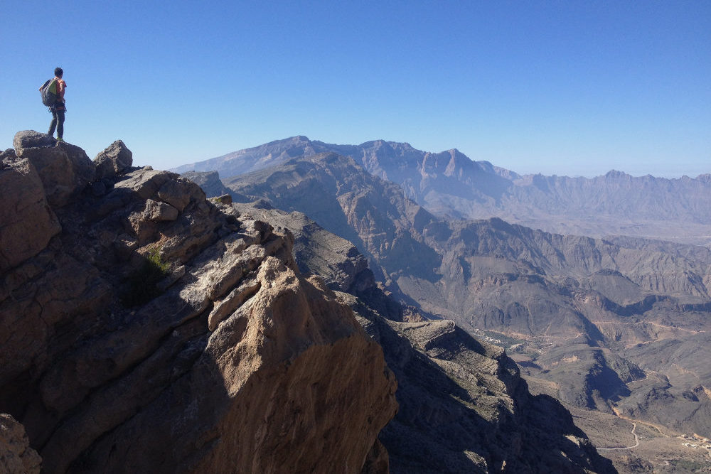
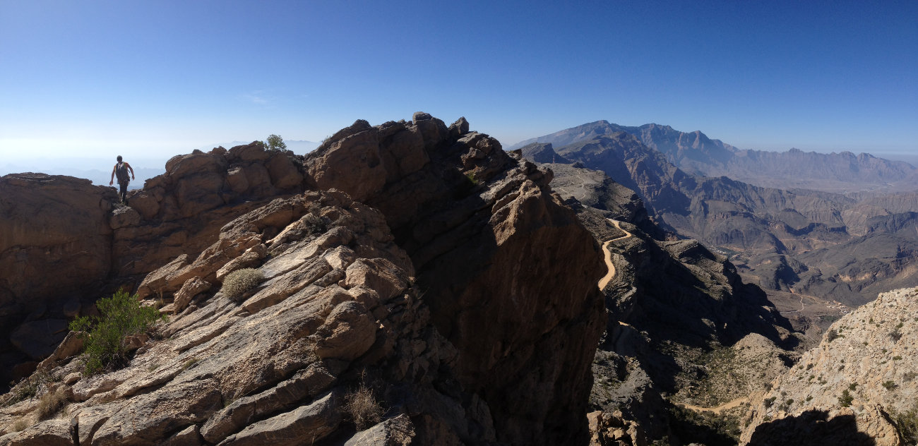
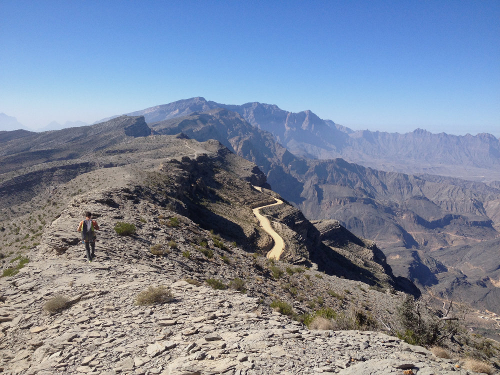
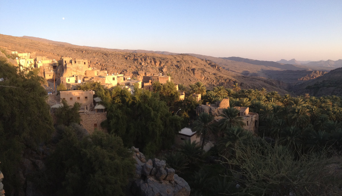
Rendezvous at the 2000m pass that separates the southern and northern slopes of the Jebel Shams massif. We set out to climb the Birkat Al Sharaf sector, but our fingers were dulled by the previous days' climbing on the Gorgette and in the Snake canyon, so we finally opted for a short recovery trek. Starting from Al Hoota Rest House, the hike takes you on a nice 2h30/3h loop along the ridge with an exceptional panorama over the whole of Jebel Shams, aerial views of Bilad Seet and Wadi Bani Awf on the north side and Al Hamra and its Towers on the south side. It's not too difficult, with a few scrambling steps, and the route is easy and straightforward to follow. Not too long a trek and a really accessible way to discover the area. And if you take a good look at the ridge from the south, you can see the Indian...
Technical summary
Access to the place
2 options. Either come from the north along the steep track that climbs up from Wadi Bani Auf, or come from the south from Al Hamra. In both cases, just before the pass, on the south side, park at the Al Hootah Rest House, the starting point of the loop.
Map & topo
Itinerary description
This trek is exposed to the elements and, despite its altitude, is best done in winter. No equipment required, just a harness and a cow to belay on the small equipped section.
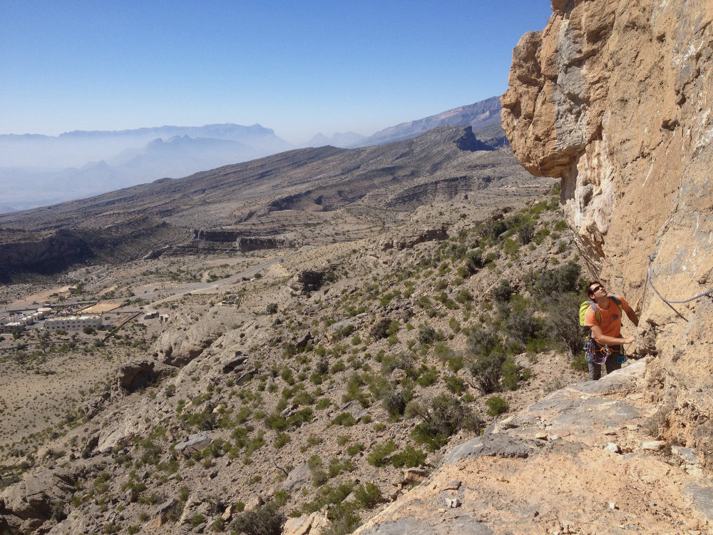
Cross the rest house and exit on the other side, aiming for the small rounded cliffs below the ridge (cairned path to the foot of the climbing routes). Once there, climb a little to the left to find a passage on an ascending ledge that slips between the upper and lower walls. The end is equipped with a lifeline to protect the traverse. At the end, climb the ridge (easy scrambling) and turn around to head west.
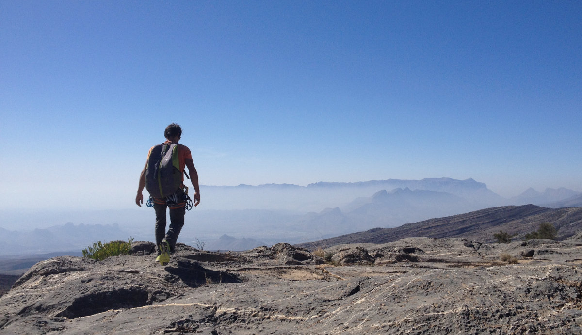
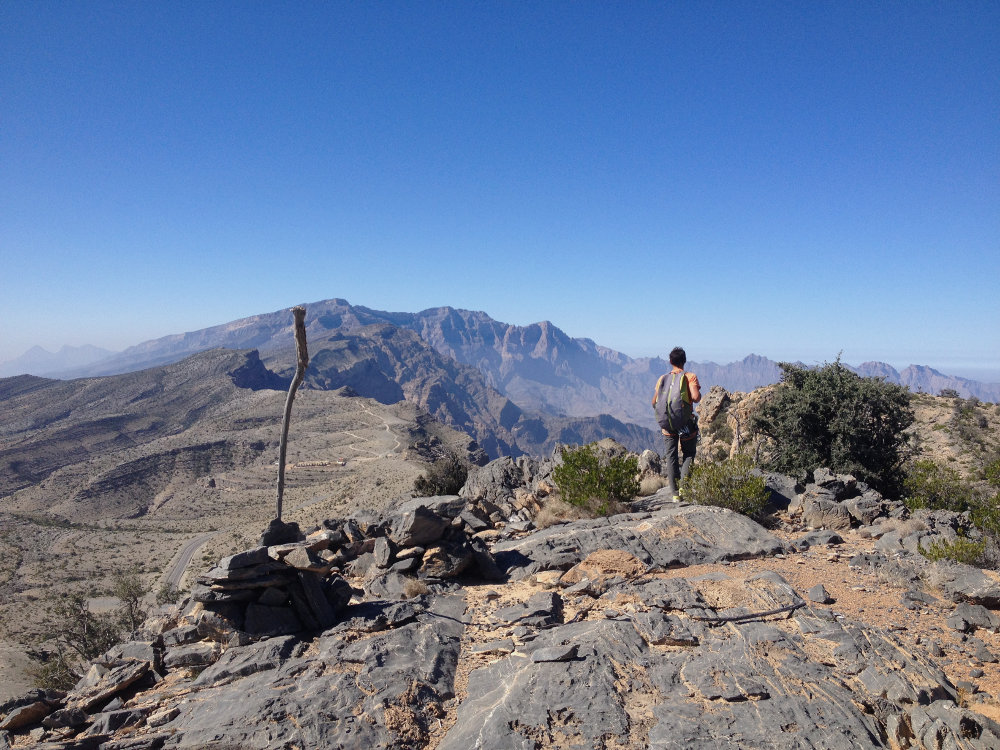
The rest is obvious, as you simply follow the ridge. In several places, you have to veer off slightly to avoid the most exposed passages. You soon have an incredible view of the canyons on the south side and the 3000m-high Jebel Shams in your sights.
To get back down to the pass, at the end of the ridge, we have to climb down a tricky stony gully (it might be easier to go around the large boulders to the right). We end up on a flanking path staying high up, passing the base of the large boulders on the south side to finally reach the col.
Back
Simply follow the asphalt road back to the rest house after a few hairpin bends.


Leave a Reply