


TOPO Hiking | CLIMBING7.COM
Publié le
 Partager sur WhatsApp
 Partager sur Twitter
Partager sur Instagram
Partager sur Twitter
Partager sur Instagram

 Partager sur Facebook
 Imprimer le topo
 Laisser un commentaire

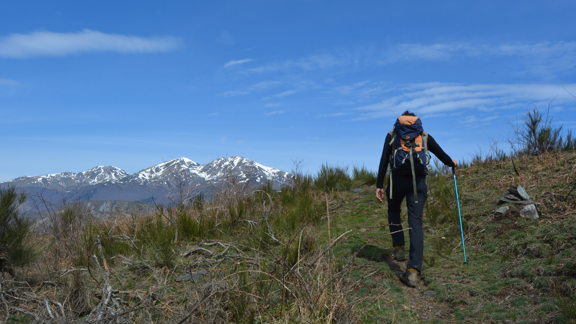
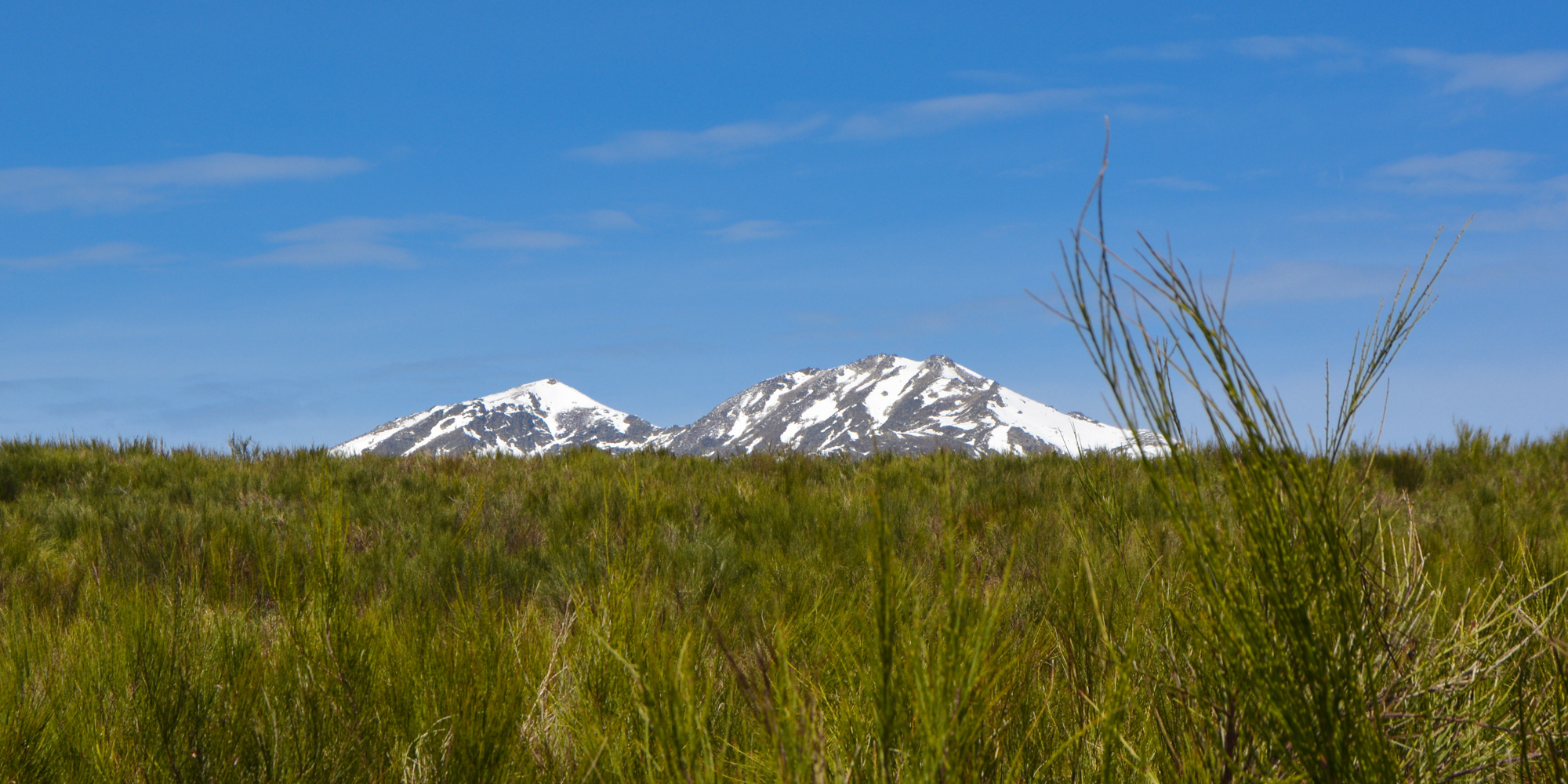
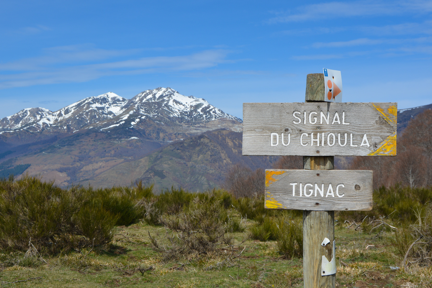
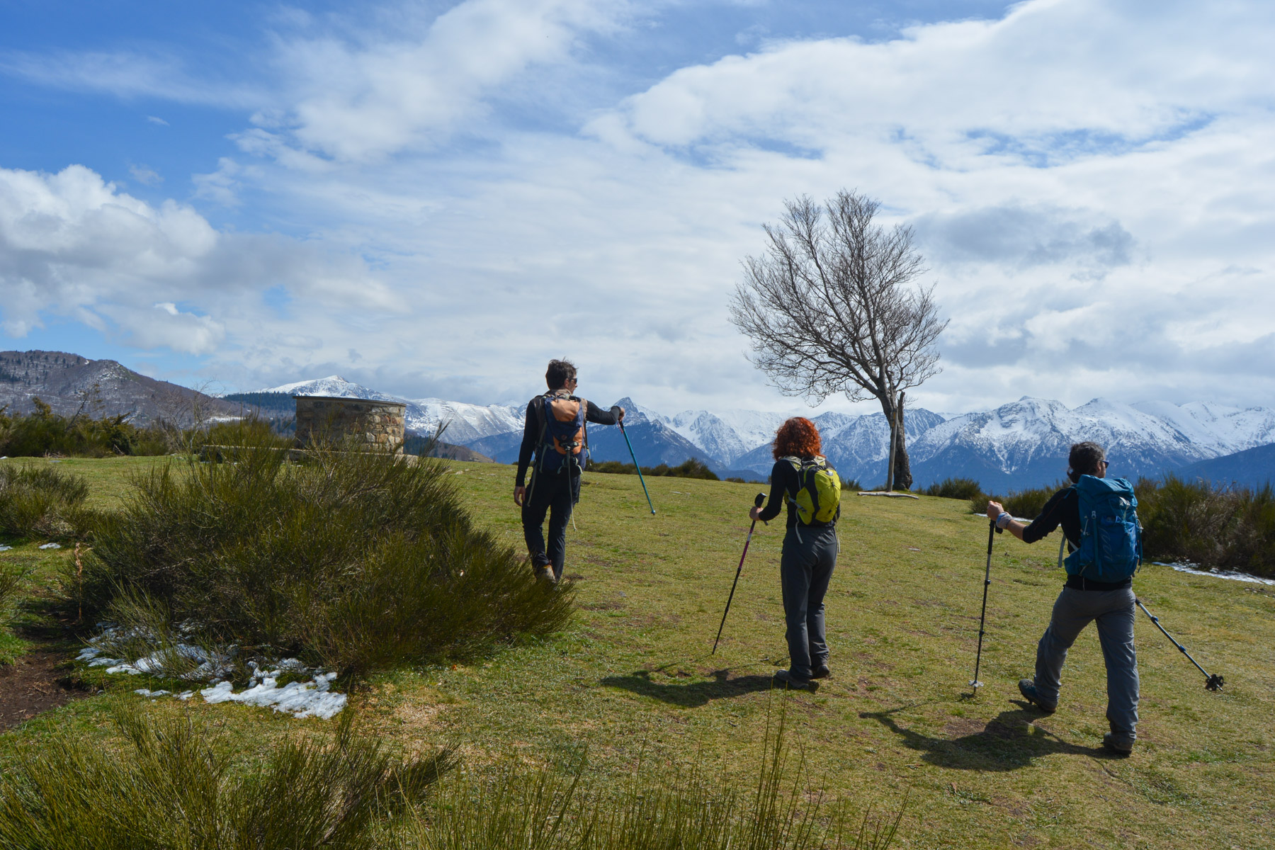
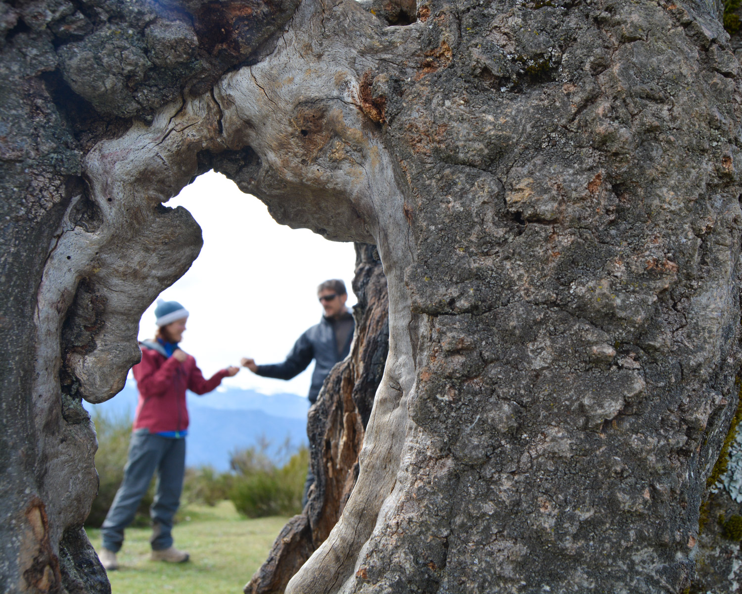
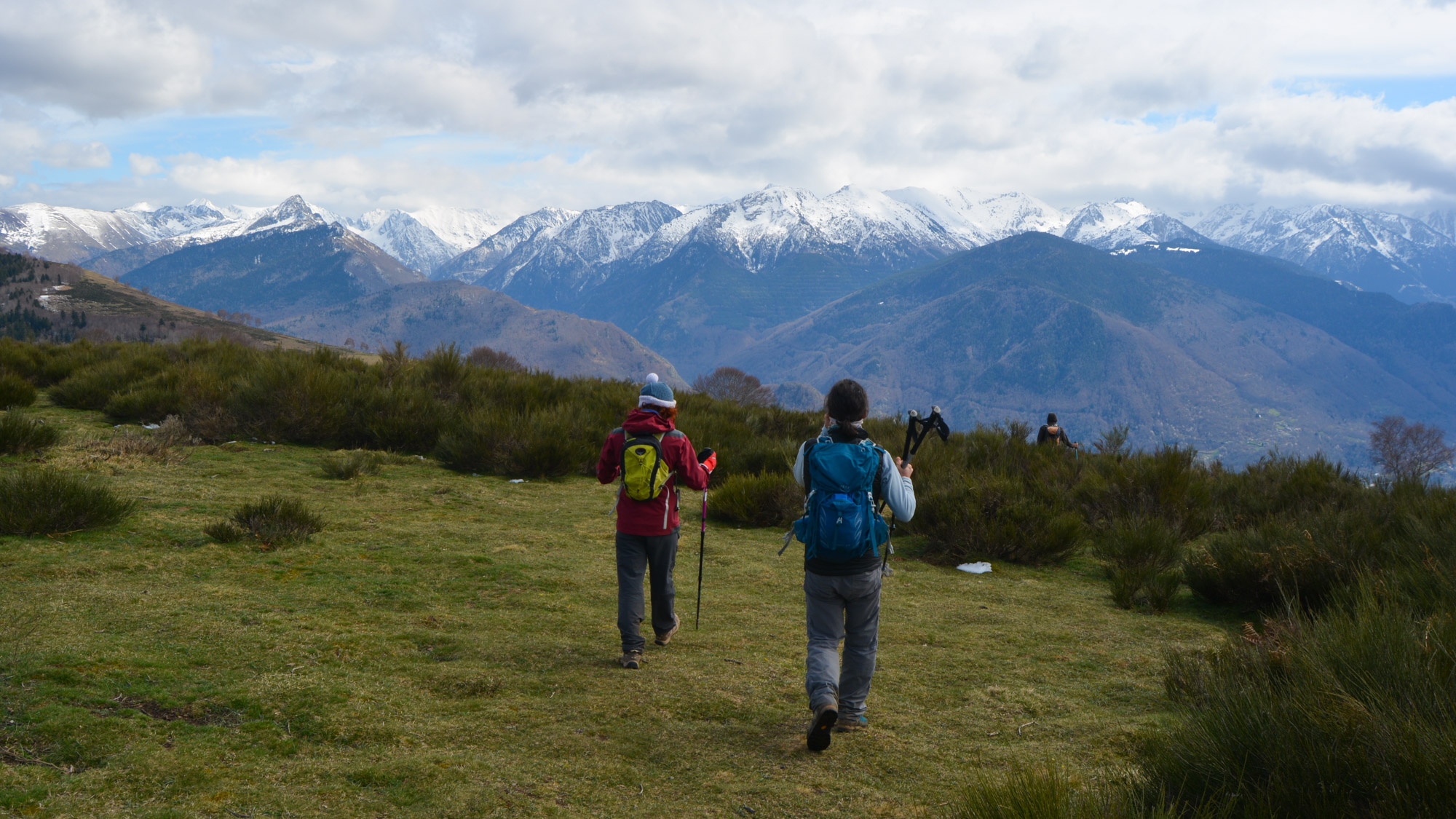
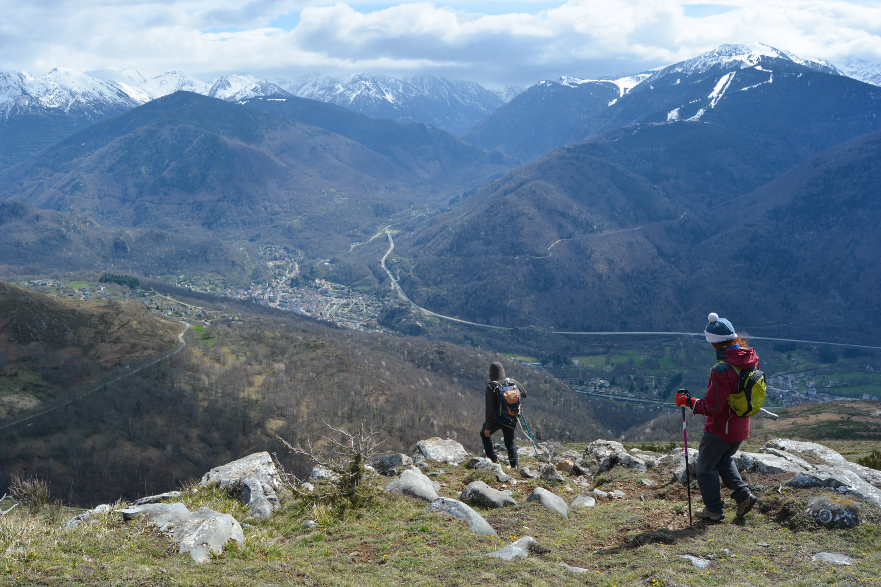
A pleasant loop from Ignaux skirts the Ax valley before climbing the Sarrat de la Barthe, then the Sarrat de la Conque, to finish at the Signal du Chioula. The summit platform offers a superb 360° panoramic view of the Ariege Pyrenees and Andorra. An accessible, south-facing route to make the most of beautiful winter days.
❱❱ Technical summary
Type ✦ Hiking
Location ✦ Ignaux
Region ✦ Ariège
Country ✦ France
Direction ✦ South
Max altitude ✦ 1505m
Length of ascent ✦ 15km
Dénivelé ✦ 760m
Duration ✦ 4h to 5h
Interest ✦ ★
❱❱ Access to the place
From Ax-les-Thermes, climb towards the Col de Chioula. At Sorgeat, turn left to park at the entrance to the village of Ignaux.
❱❱ Map & topo
❱❱ Itinéraire
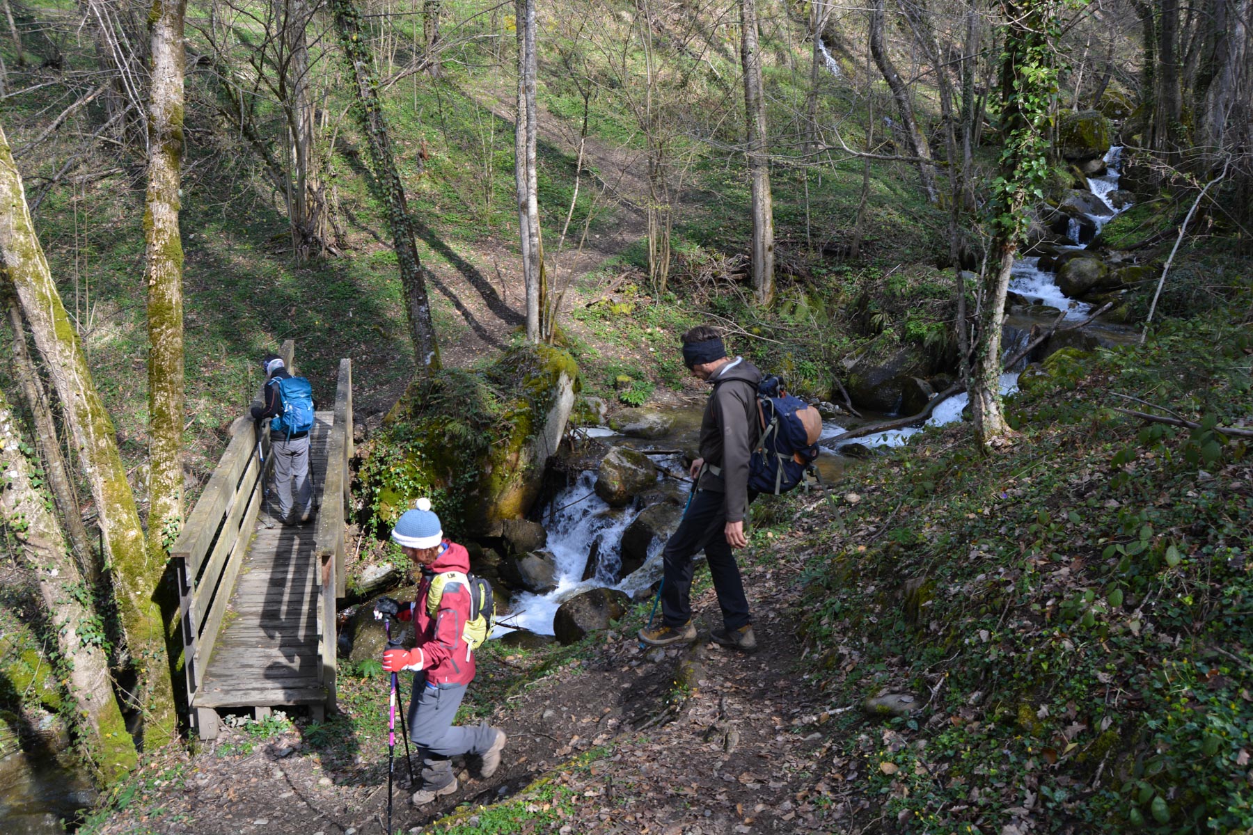
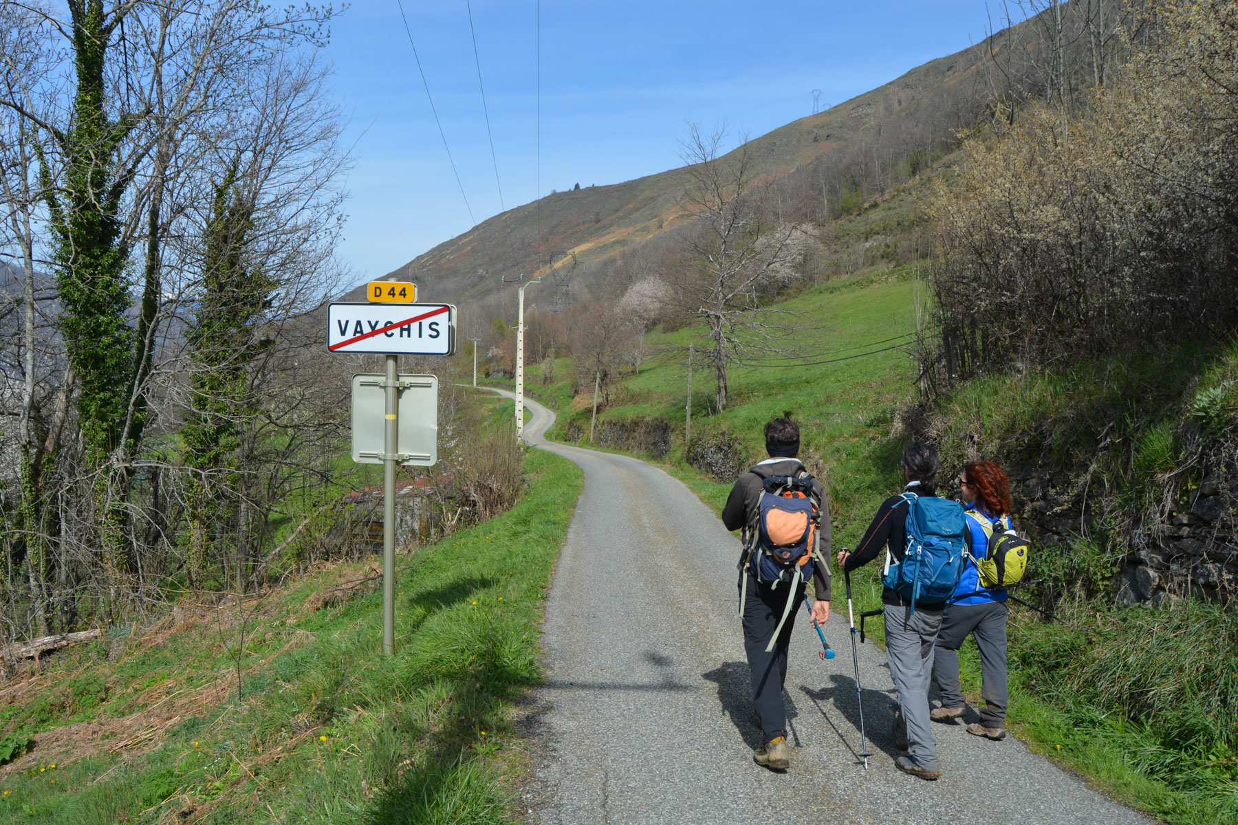
Pass through the village of Ignaux and follow the yellow N°14 signs down to Vaychis. Further down, you pass 2 water retention basins on the right. This is where the trail begins.
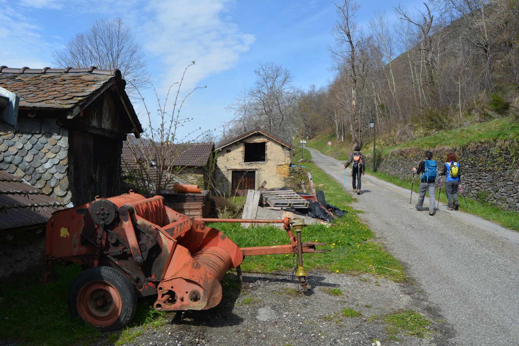
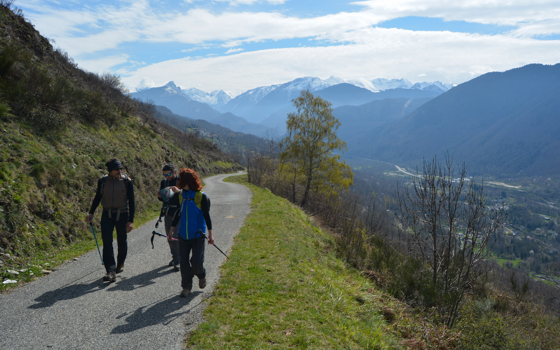
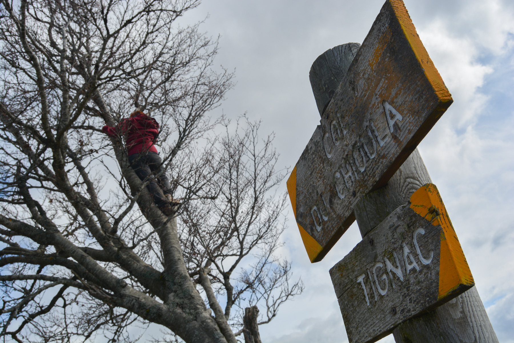
The route heads west, then back east over the ridges and the Chioula signal. There are 2 sections on the road after Tignac and on the way back. The trails are almost all marked in yellow (PR), except for the descent from the summit, which is off-piste but not very difficult.
From the summit, descend south-eastwards on grassy, broom-covered slopes. Further down, you'll find a well-marked path, which you can follow westwards for a while, before taking the direct descent and joining a track further down. Walk eastwards on the left-hand track. Further on, you come across another track coming from below, then the road from Ignaux to the Col du Chioula. Turn right and return to Ignaux. Just before the village, you may prefer to follow the PR which passes under the road and returns to Ignaux at the parking lot.


Leave a Reply