


TOPO Randonnée | CLIMBING7.COM
Publié le
 Partager sur WhatsApp
 Partager sur Twitter
Partager sur Instagram
Partager sur Twitter
Partager sur Instagram

 Partager sur Facebook
 Imprimer le topo
 Laisser un commentaire

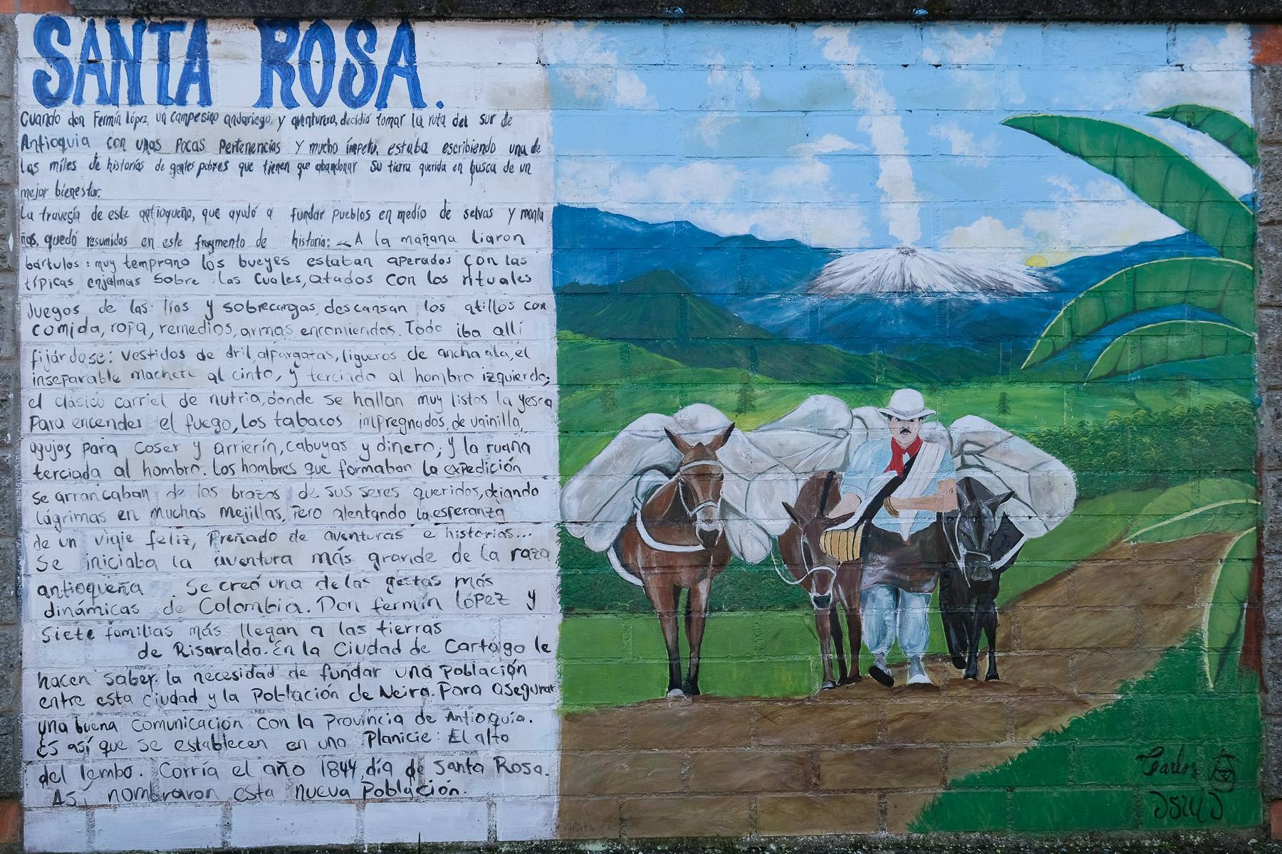
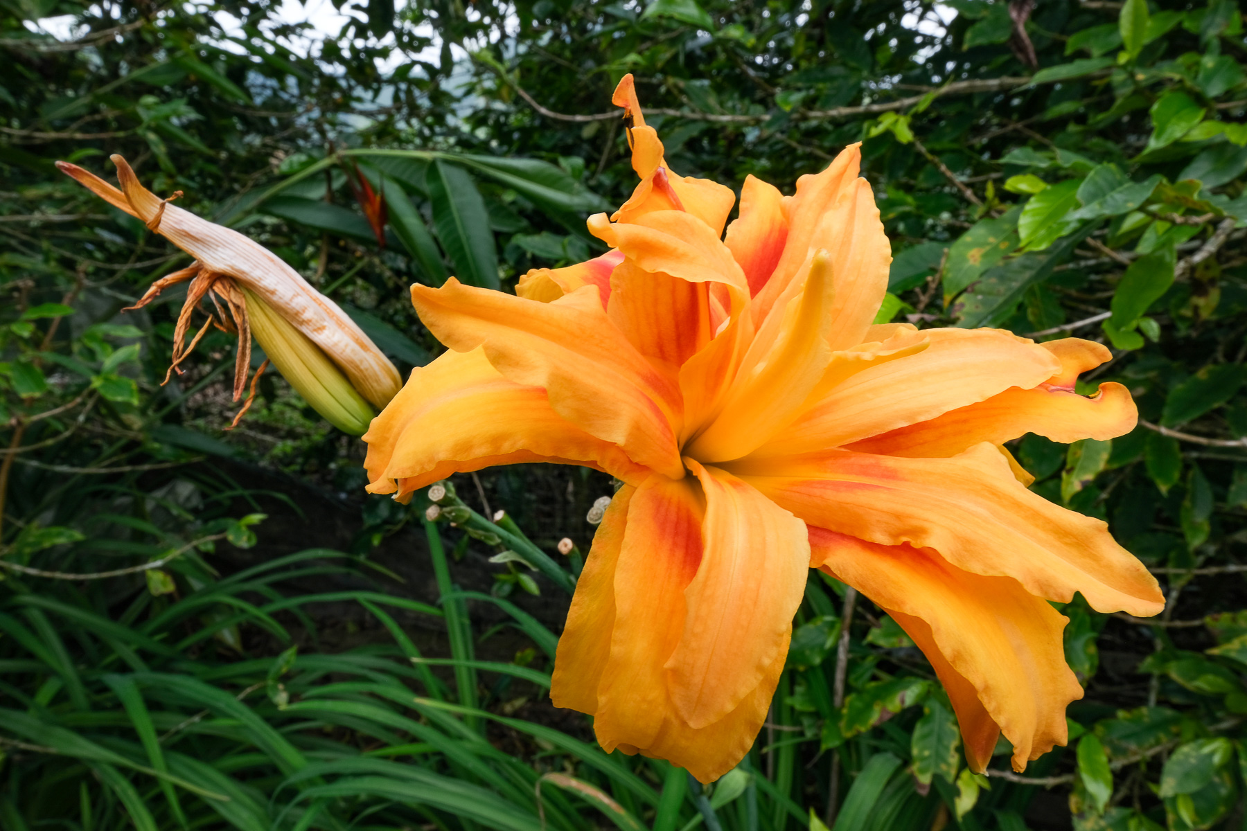
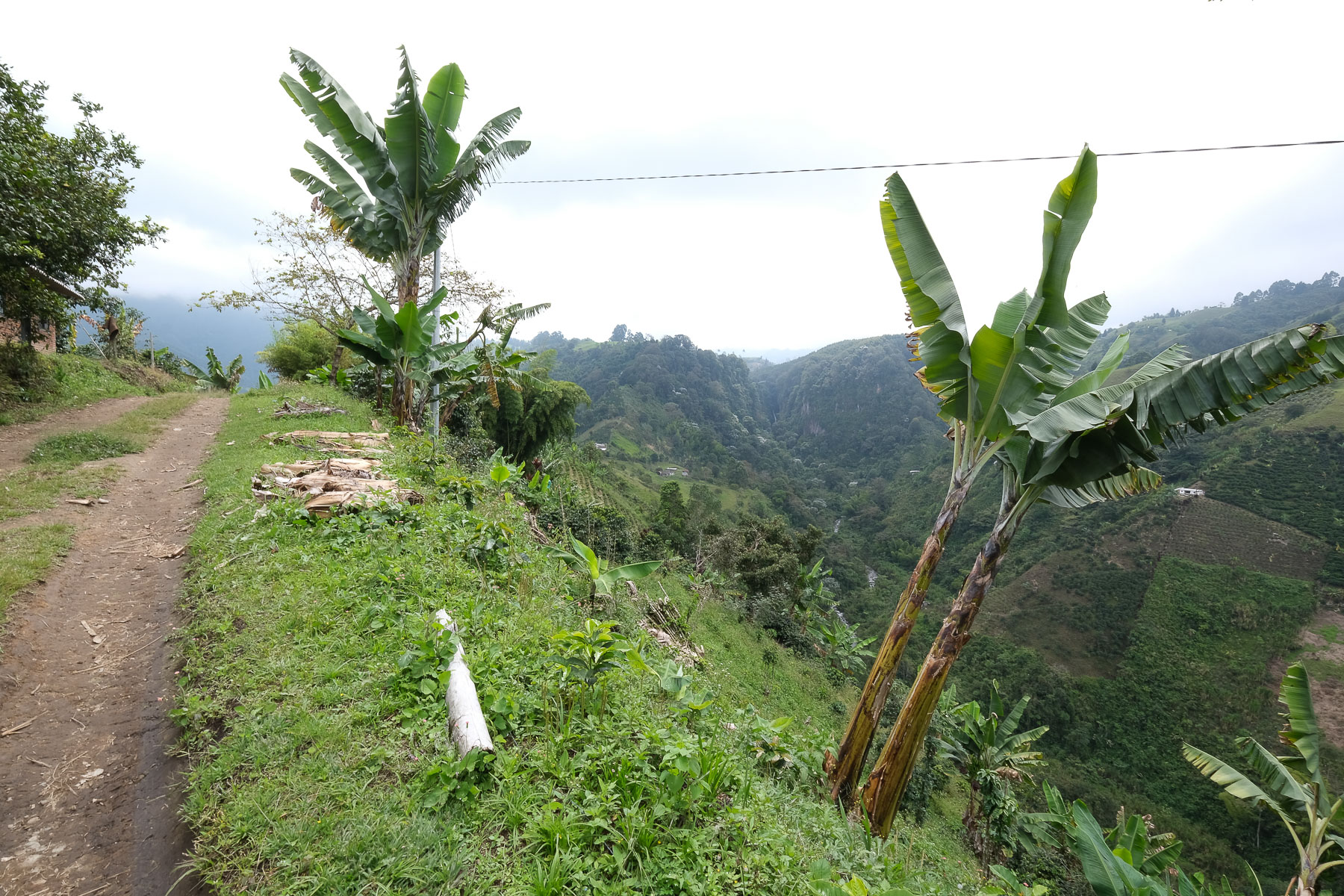
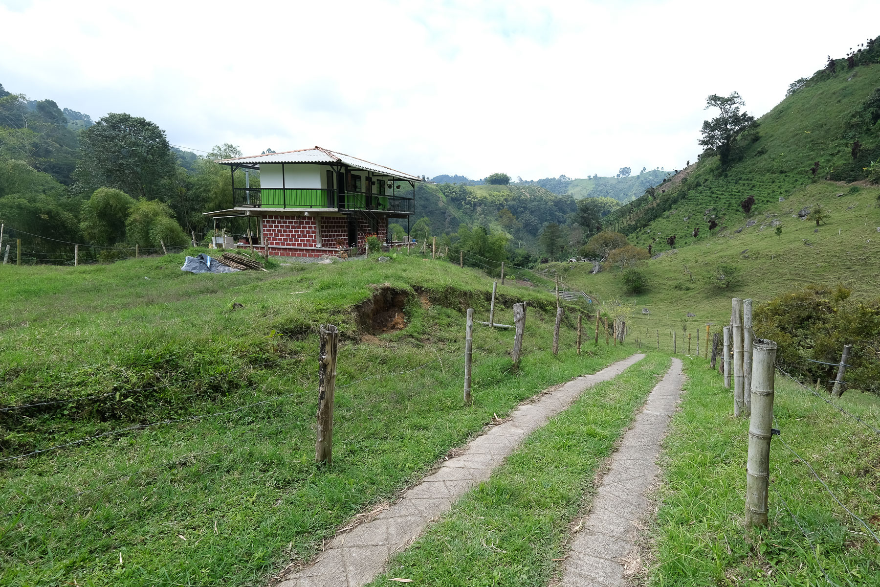
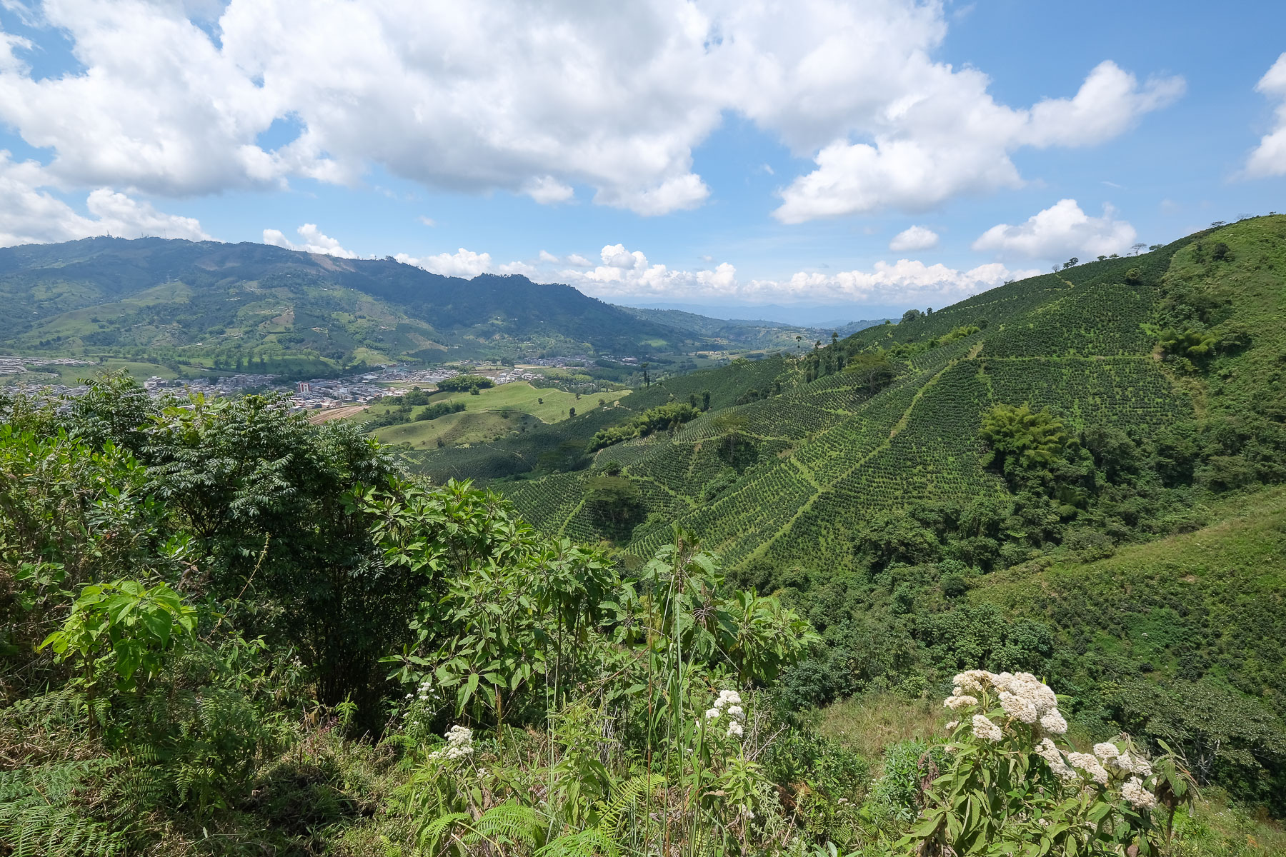
Au départ de Santa Rosa, au cœur de la région du café colombien, cette randonnée forme une longue boucle pour rejoindre la puissante cascade des Chorros de Don Lolo avant de revenir à travers les champs de plantation, à flanc de montagne, survolés par de nombreux Urubu à tête rouge à moins que ce ne soit des condors. De la distance à parcourir sans difficulté technique mais une vigilance au niveau de l'orientation car la seconde partie de la boucle n'est pas évidente. Forêt tropicale, plantes et papillons aux couleurs vives, torrent et cascade, crêtes aériennes, plantation de café et maisons traditionnelles, une randonnée variée idéale pour découvrir la région.
❱❱ Fiche technique
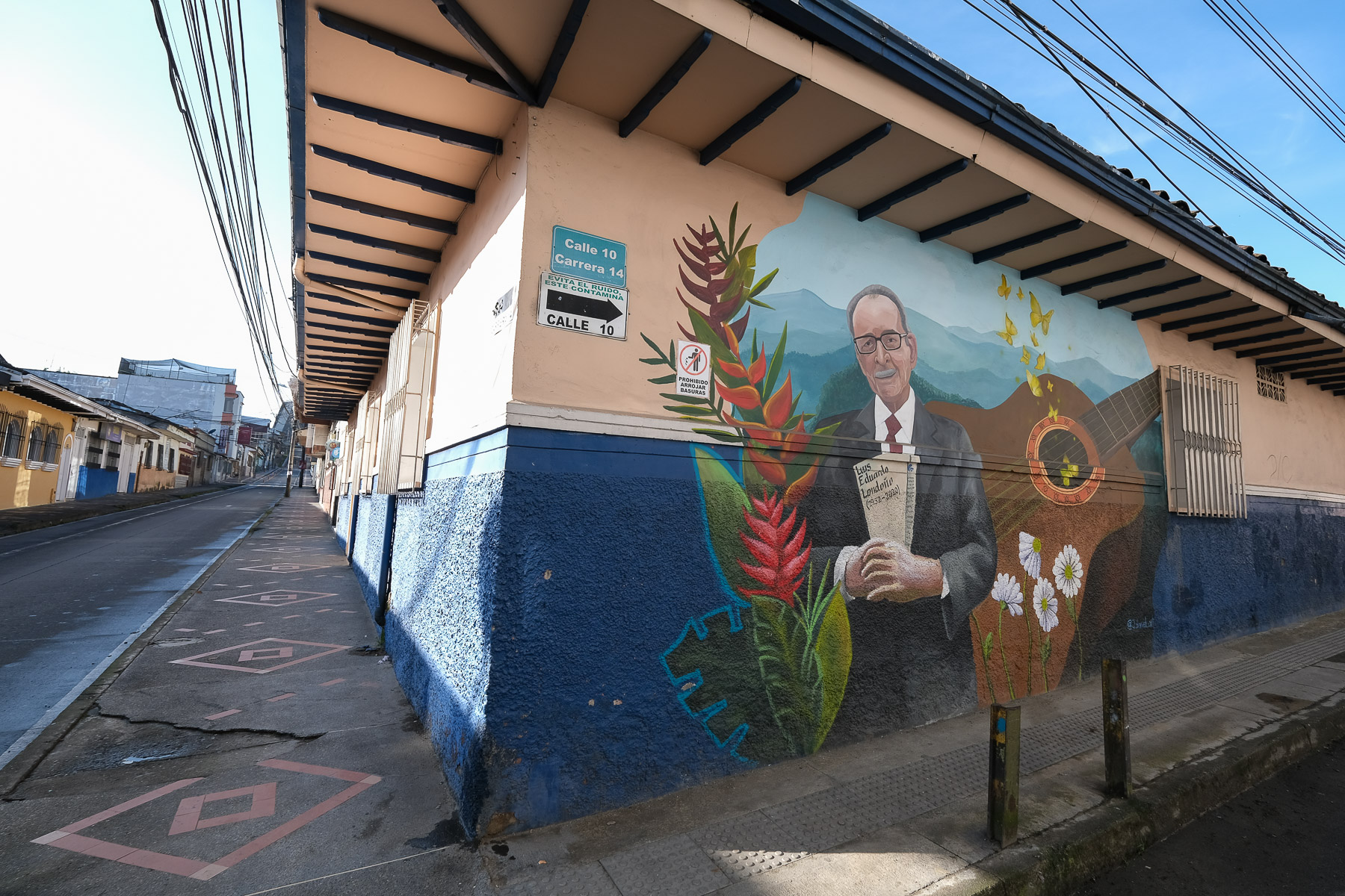
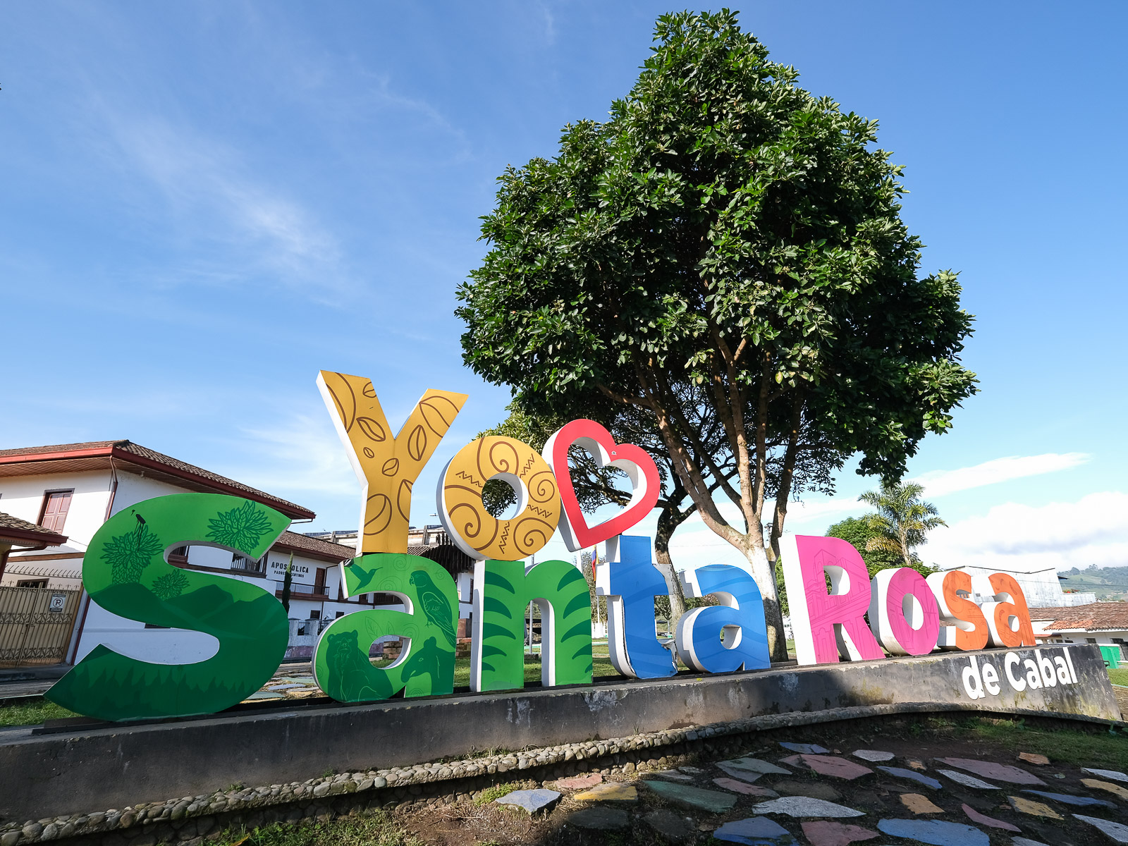
► Lieu de départ : Santa Rosa de Cabal, Pereira, Risaralda, Colombie
► Type de parcours : randonnée de moyenne montagne en boucle
► Distance à parcourir : 18,5 km
► Dénivelé positif cumulé : +715 m
► Dénivelé négatif cumulé : -715 m
► Durée totale estimée : 6h à 7h
► Altitude min et max : 1700 m / 1935 m
► Balisage : aucun balisage, combinaison de piste et de sentier pas toujours évidente
► Équipement en place : aucun
► Matériel à prévoir : trace GPS utile, une paire de chaussure pour aller dans l'eau et dans la boue
Difficultés : la longueur de l'itinéraire, la cumulation de petites ascensions en fin de parcours, l'orientation dans la partie finale.
❱❱ Accès au site
Depuis Cali, prendre la route du Nord par Cartago puis Pereira. De là, suivre vers Chinchina et Mazinales et tourner vers Santa Rosa de Cabal. En bus, depuis le terminal de Cali, le bus pour Pereira met environ 3h30 et coute à ce jour 40.000 pesos (minibus TaxCentral très bien). Puis du terminal de Pereira, un autre bus plus folklorique rejoint Santa Rosa en 30' environ pour 2500 pesos. Pour se loger, l'hotel Kímana est très bien, simple mais très accueillant et pas très cher (environ 40.000 la chambre).
❱❱ Carte & topo
❱❱ Itinéraire
1ère partie : de Santa Rosa de Cabal aux cascades de Chorros de Don Lolo
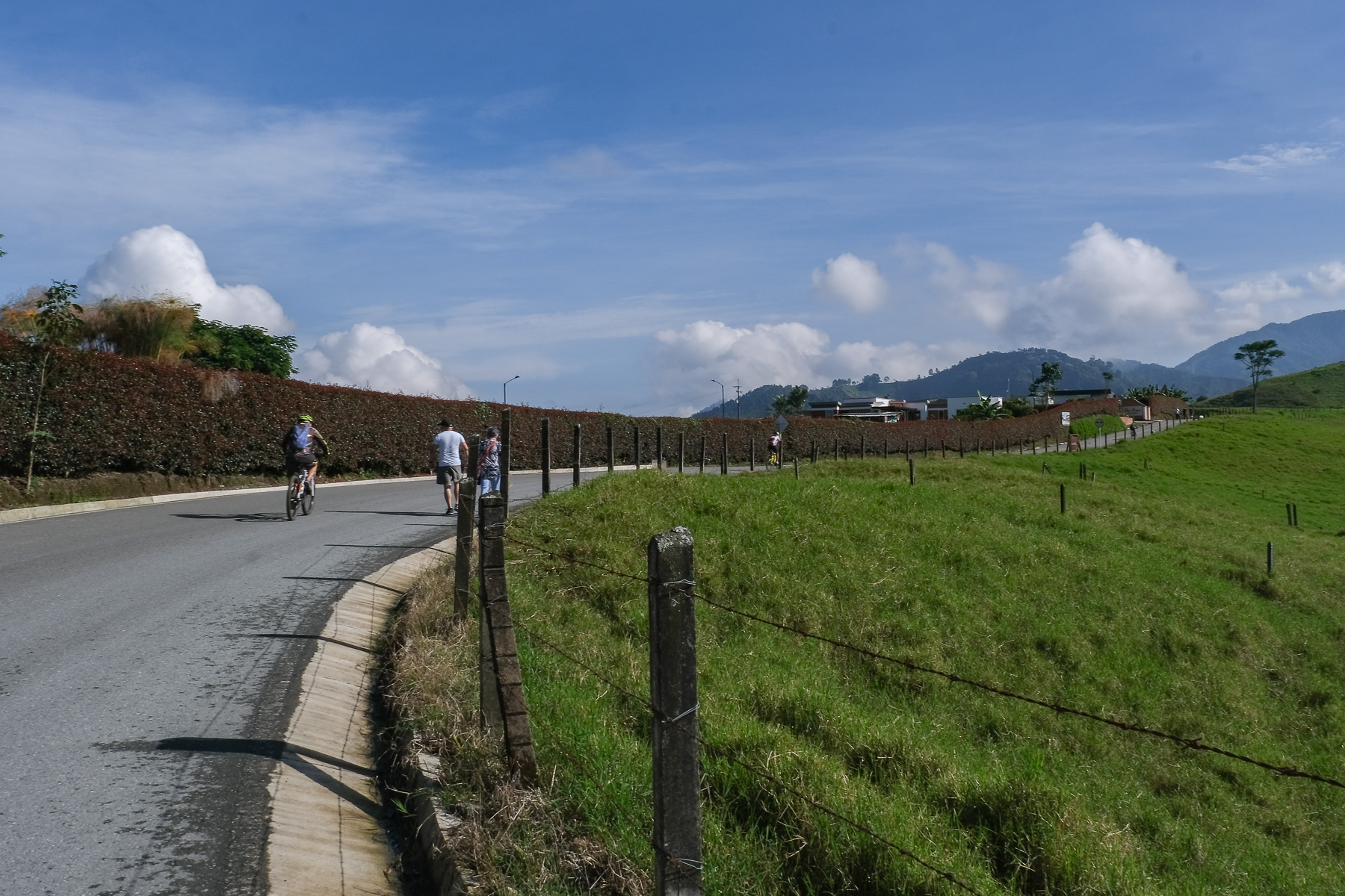
Au départ de la Basilique au centre de Santa Rosa, monter plein Sud jusqu'au sanctuaire national qui domine la ville. Là suivre la route qui part à 90° plein Est. On sort progressivement de la ville et plus loin, tourner à gauche pour suivre la direction des thermes de San Vicente. On marche sur la route avec de nombreux cyclistes qui s'entrainent. Ça monte très doucement, on passe de nombreuses échoppes ou vendeurs de jus frais. Après environ 6,5 kilomètres depuis la basilique, on est au niveau du restaurant Don Lolo d'où démarre le sentier qui mène à la cascade.
Descendre sur le large sentier juste avant le restaurant. Après de grands lacets, après avoir croisé un petit torrent, le sentier rejoint le bas de la vallée. Il y a une habitation occupé par une communauté qui veille sur le parc naturel. Suivre droit pour emprunter un petit pont métallique jaune qui traverse le Campo Alegrito. Continuer un peu de l'autre coté avant de trouver la bifurcation en T. Prendre à droite pour remonter en rive droite du torrent (erreur sur le fond de carte) par un petit sentier en forêt, plutôt glissant et boueux, en pleine jungle. Après 15' pour remonter quelques ressauts, on débouche sur la cascade des Chorros de Don Lolo qui rugit avec force de ses 30 ou 40m de hauteur.
2ème partie : les crêtes
Revenir sur ses pas jusqu'au T et cette fois filer tout droit. Le sentier remonte assez raide pour finir sur la crête où l'on découvre la vallée du Campo Alegre de l'autre coté. Partir alors plein Ouest pour une longue marche sur la crête, avec quelques constructions traditionnelles et des vues spectaculaires sur les 2 vallées et dans notre dos la cascade des Chorros que l'on aperçoit. Levez la tête, de nombreux Urubu planent dans le coin. C'est vallonné, la piste par endroit est cimentée et bientôt ça redescend raide. Attention à la bifurcation pour descendre à gauche et retrouver plus bas le Campo Alegrito.
3ème partie : à travers les plantations de café et retour à Santa Rosa de Cabal
Grande descente au milieu d'un champ de caféiers. En bas la demeure des propriétaires du domaine. Poursuivre sur le large sentier qui va serpenter, longer plusieurs maisons et à la dernière, attention de prendre un tout petit sentier dans la forêt qui va finir dans le lit du torrent. Un vieux pont de béton permet de traverser pour remonter bien raide coté opposé jusqu'à rejoindre la piste où se trouve la Viga, une maison qui offre boissons et quelques trucs à manger.
À partir de là, il faut être vigilant pour suivre avec la trace GPS car il y a de nombreuses bifurcations et des sections peu visible au sol. Tourner le dos à La Viga et marcher sur la route/piste pas très longtemps. dans un virage plus loin, descendre à droite en passant un portail par un passage à droite. Suivre jusqu'en bas, traverser un petit torrent et juste après monter à gauche sur des marches faites dans la terre en pleine plantation.
Là, difficile à décrire, la trace est précise et permet de ne pas se tromper. Ça monte, on serpente entre les plantations et les maisons. Il y a des passages presque pas défrichés mais on peut quand même lire le sentier au sol. On rejoint finalement une piste qui va remonter jusqu'à la crête finale d'où on aperçoit la ville de Santa Rosa. De cette crête, suivre la piste qui descend vers Santa Rosa. On débouche par le bas de la ville qu'il suffit de remonter pour revenir au point de départ.


Laisser un commentaire