


TOPO Ski Touring | CLIMBING7.COM
Publié le
 Partager sur WhatsApp
 Partager sur Twitter
Partager sur Instagram
Partager sur Twitter
Partager sur Instagram

 Partager sur Facebook
 Imprimer le topo
 Laisser un commentaire

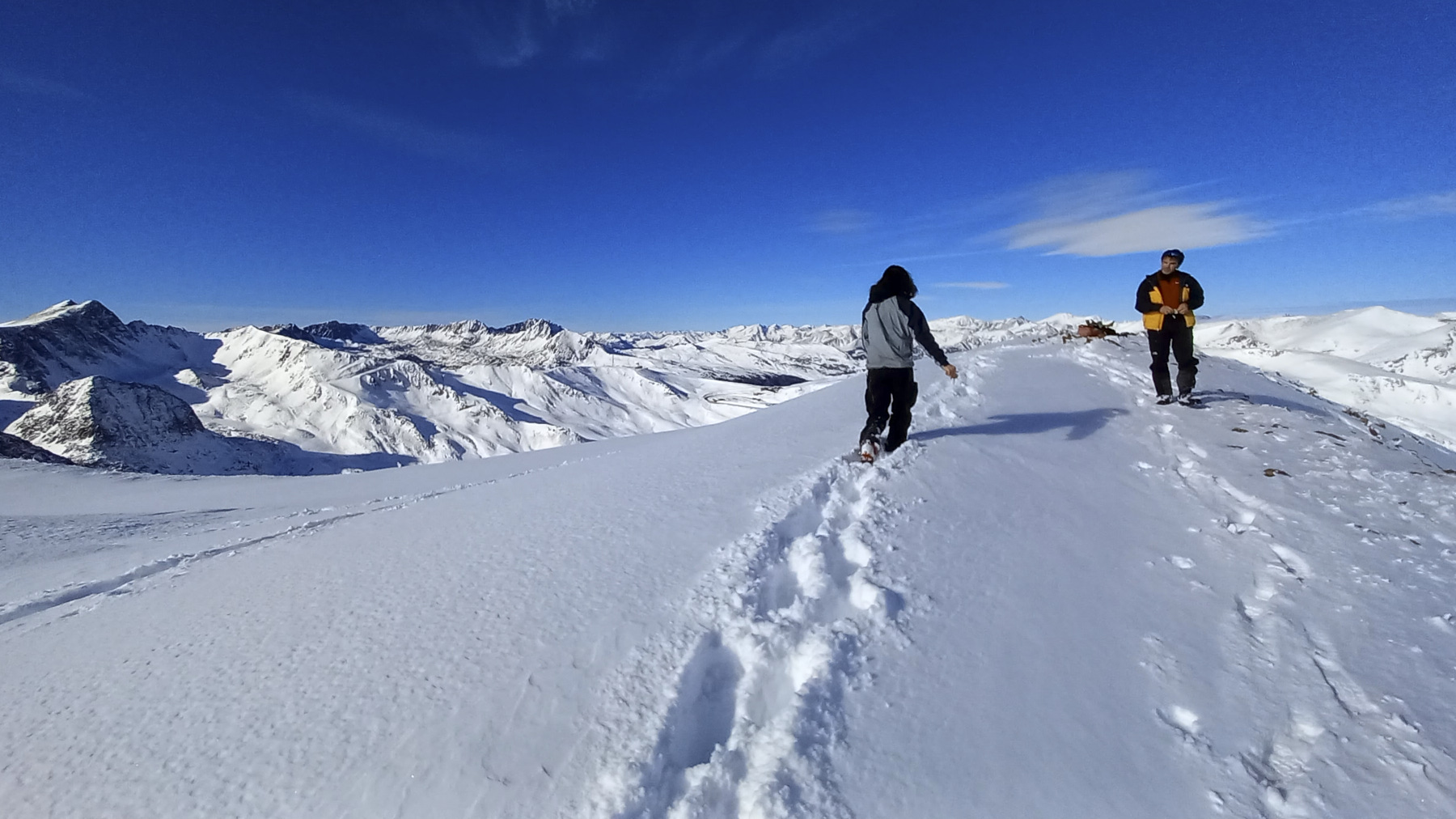
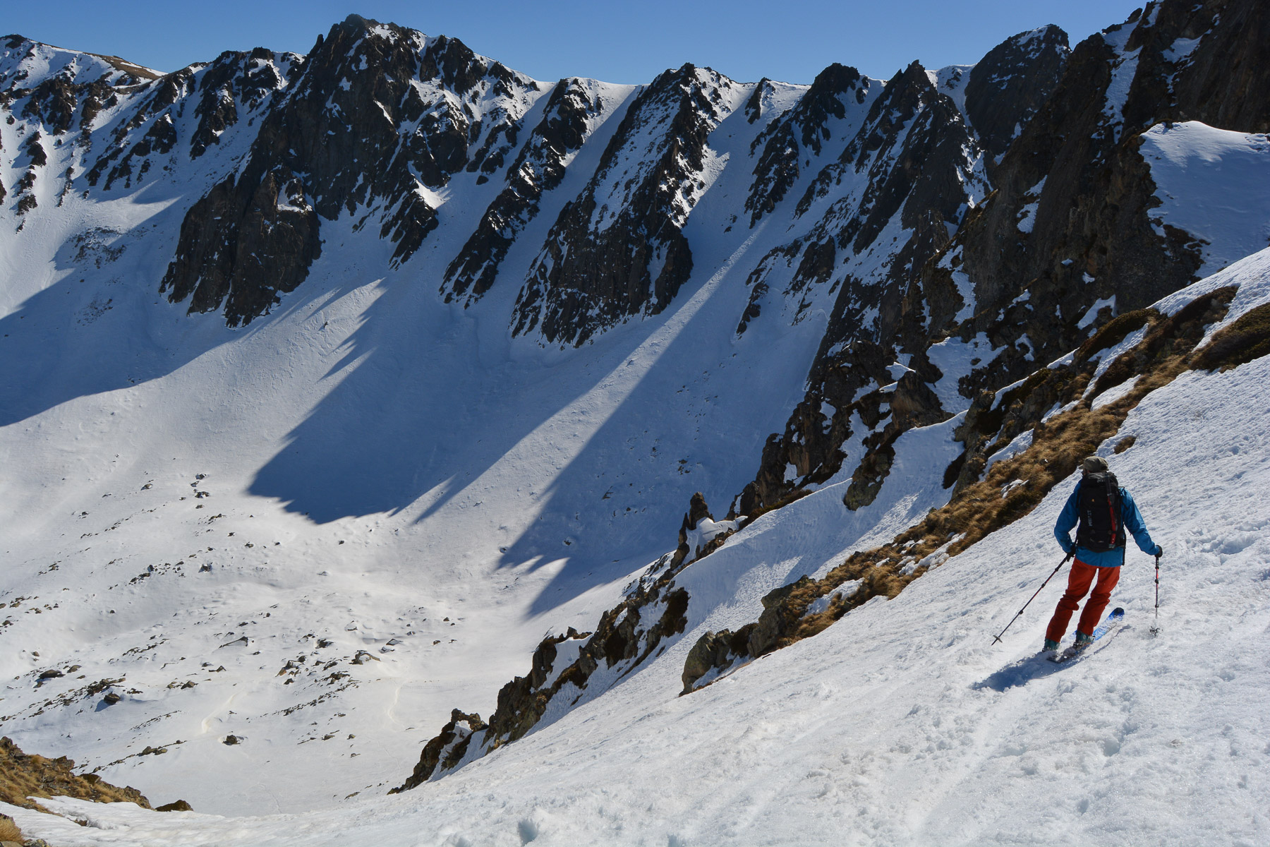
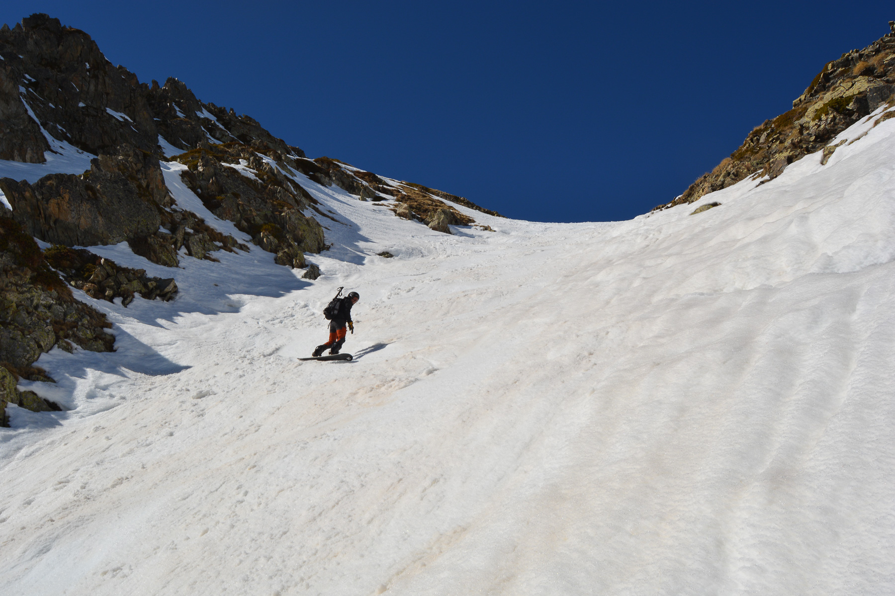
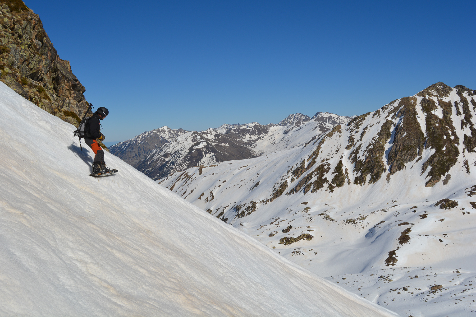
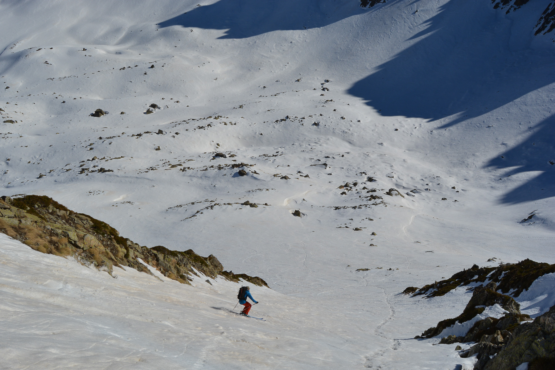
Above Pas de la Casa, but technically in France, the ascent of Pic dels Pedrons is very similar to that of Pic de la Mina, but without the ski resort. Starting out in the Rec del Baladrar, the route joins the undulating ridge that gradually leads to the summit of the Pedrons, facing the rocky bars of the Pics de Font Negra, which form an impressive natural barrier. Among the possible descents, the south-east couloir offers a fine option before joining the eastern flanks of the Rec del Baladrar and gliding back to the starting point. A very accessible route, less frequented than its neighbor.
❱❱ Technical summary
Type ✦ Ski touring
Location ✦ Pas de la Casa
Region ✦ Pyrénées-orientales
Country ✦ France
Direction ✦ East
Max altitude ✦ 2714m
Ascent length ✦ 5km
Dénivelé ✦ 835m
Difficulty ✦ R-3.1-E1
Max gradient ✦ 35°/37°
Duration ✦ 3h to 3h30
Interest ✦ ★★
❱❱ Access to the place
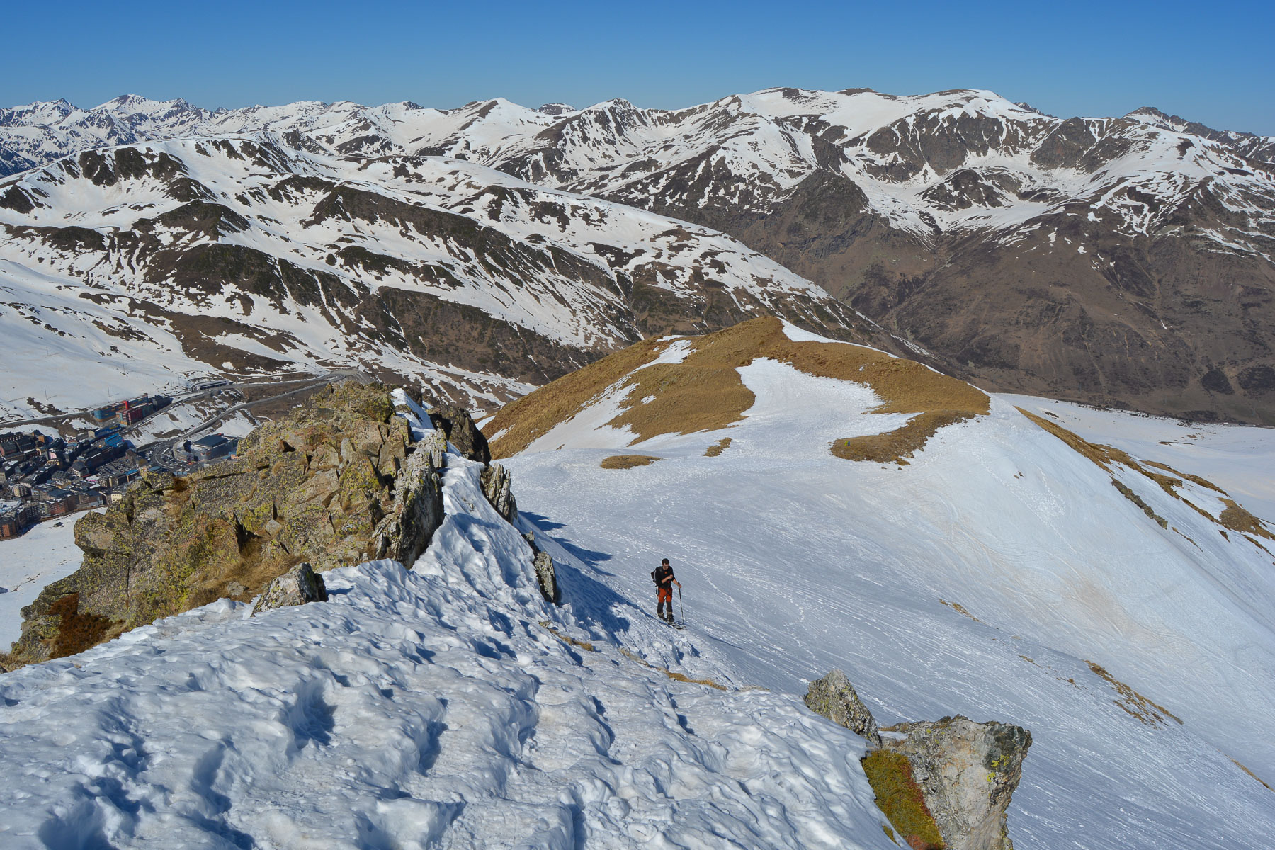
On the N320 from Ax-les-Thermes, climb towards Andorra and just before Pas de la Case on the N22, the road crosses a talweg, the Rec de Baladrar. There are a few parking spaces available. You can already see the summit of Pedrons overlooking the valley floor.
❱❱ Map & topo
The routes are indicative.

❱❱ Itinéraire
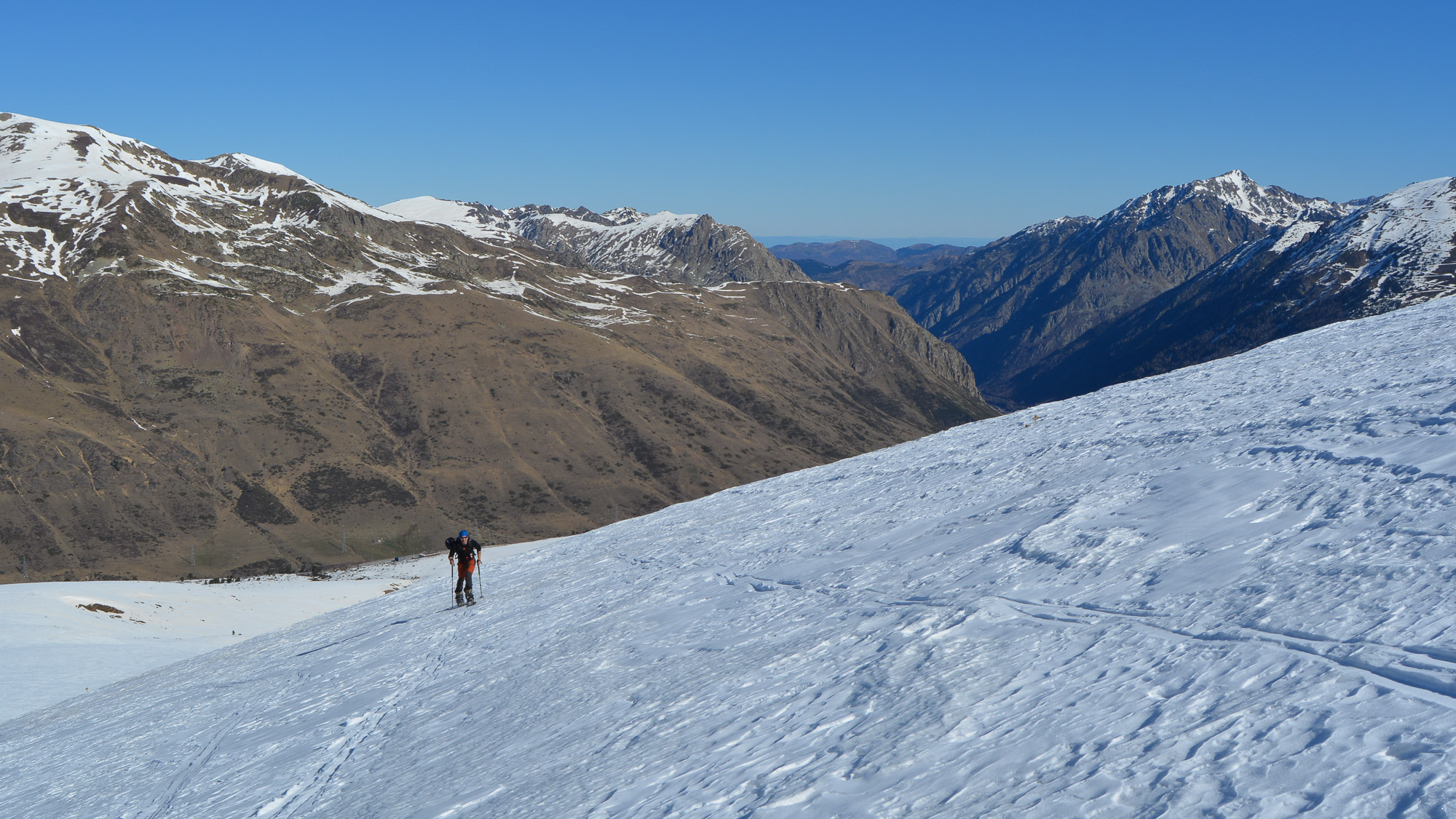
From the road, walk a little along the left bank of the Baladrar to pass a few fences. There's a flat spot from which to start the ascent.
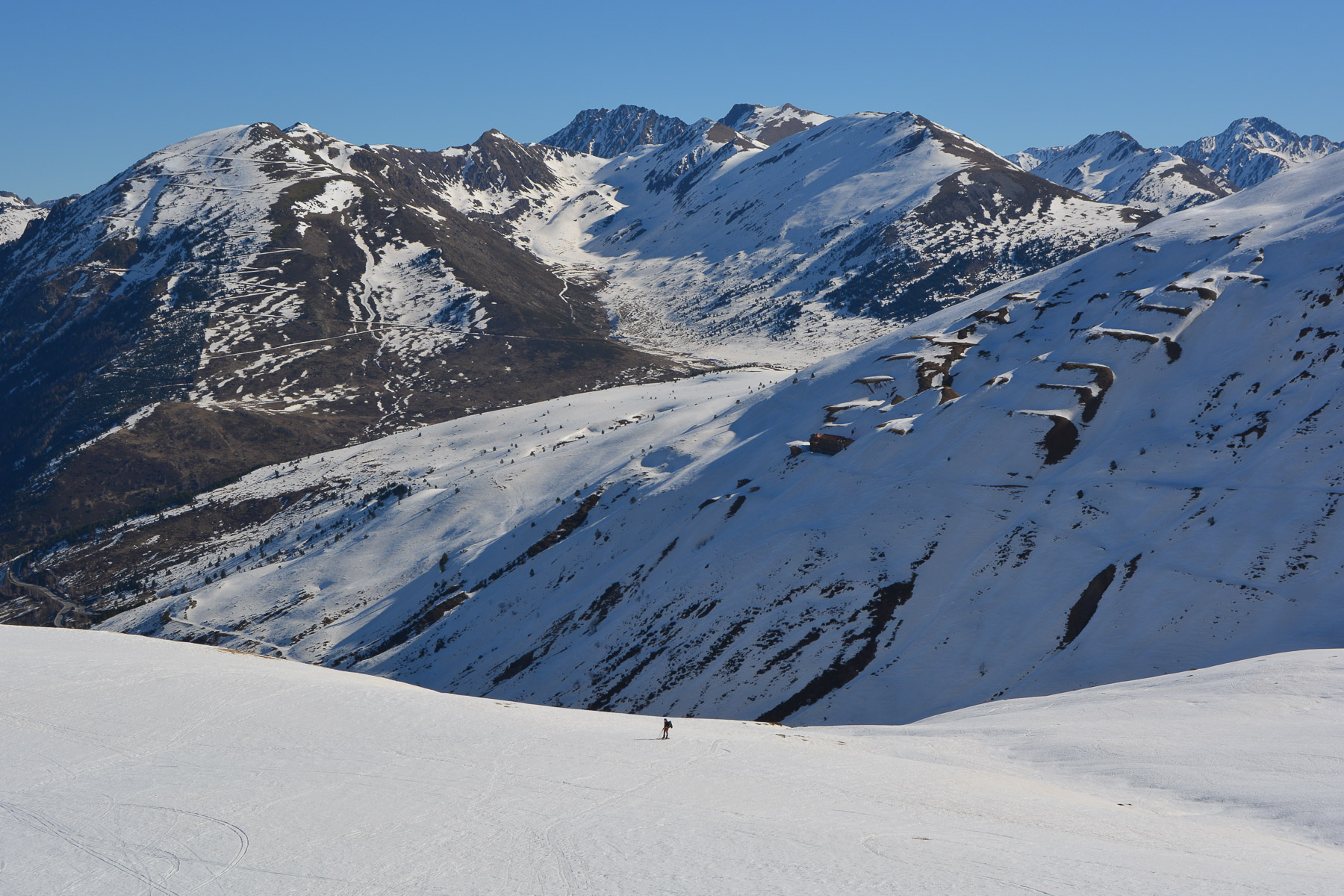
The route is obvious: climb the Rec del Baladrar on the west side (left bank) to reach the ridge leading to the summit as soon as possible. There are no difficult passages on the way up, except perhaps the final access to the summit, which can be done on foot. The descent option chosen here is not the only one: other options on the eastern slopes are possible, or even returning via the ascent route, the simplest option.
Walk a little to get back to the road, or if there's enough snow, slide back to the road.
Topo du Pic dels Pedrons on Skitour


Leave a Reply