A superb, accessible and little-used ridge route between the Tose de Pédourrès and the Pic Vaillette d'Esteil, in the confines of the Haute Ariège on the Andorran border. From l'Hospitalet-près-l'Andorre, the GR trail leads up the Val d'Arques to the étang de Pédourrès, giving access to the wide ridge leading to the Pic de Pédourrès, with superb views over the steep-sided Mourguillou valley. Continuing eastwards, the undulating ridge, chaotic in places, leads straight up to the Pic Vaillette d'Esteil, an aerial route that is not too difficult, but with an exposed passage to be descent-climbed to avoid a breach. The return via Porteille de Coume Vieille provides a short loop before returning to the Val d'Arques just before the Jasse de Brougnic hut.
❱❱ Technical summary
►Departure point: L'Hospitalet-près-l'Andorre, Ariège (09) ►Type of route: alpine hike with a small loop ►Distance: 14 km ►Cumulative elevation gain: +1100 m ►Cumulative negative elevation gain: -1100 m ►Estimated total time: 5h to 6h ► Min and max altitude: 1450 m / 2468 m ► Marking: GR up to Pédourrès pond, the rest is off-trail and unmarked until you find the GR under Porteille de Coume Vieille ►Equipment in place: none ►Equipment required: none
Difficulties: the ridge between the Tose de Pédourrès and the Pic Vaillette d'Esteil is airy in places, you have to use your hands to balance yourself, especially in the 1st part, and there's a passage to avoid a breach that requires exposed de-escalation (III).
❱❱ Access to the place
On the N20 between Ax-les-Thermes and Andorra, go to L'Hospitalet-près-l'Andorre. After the traffic circle, turn left into the village and drive up to the end. Pass over the TER train tracks and turn right just after to access the parking lot below the N20.
❱❱ Map & topo
The route over the ridges and back from Pic Vaillette d'Esteil to the GR via Porteille de Coume Vieille is indicative.
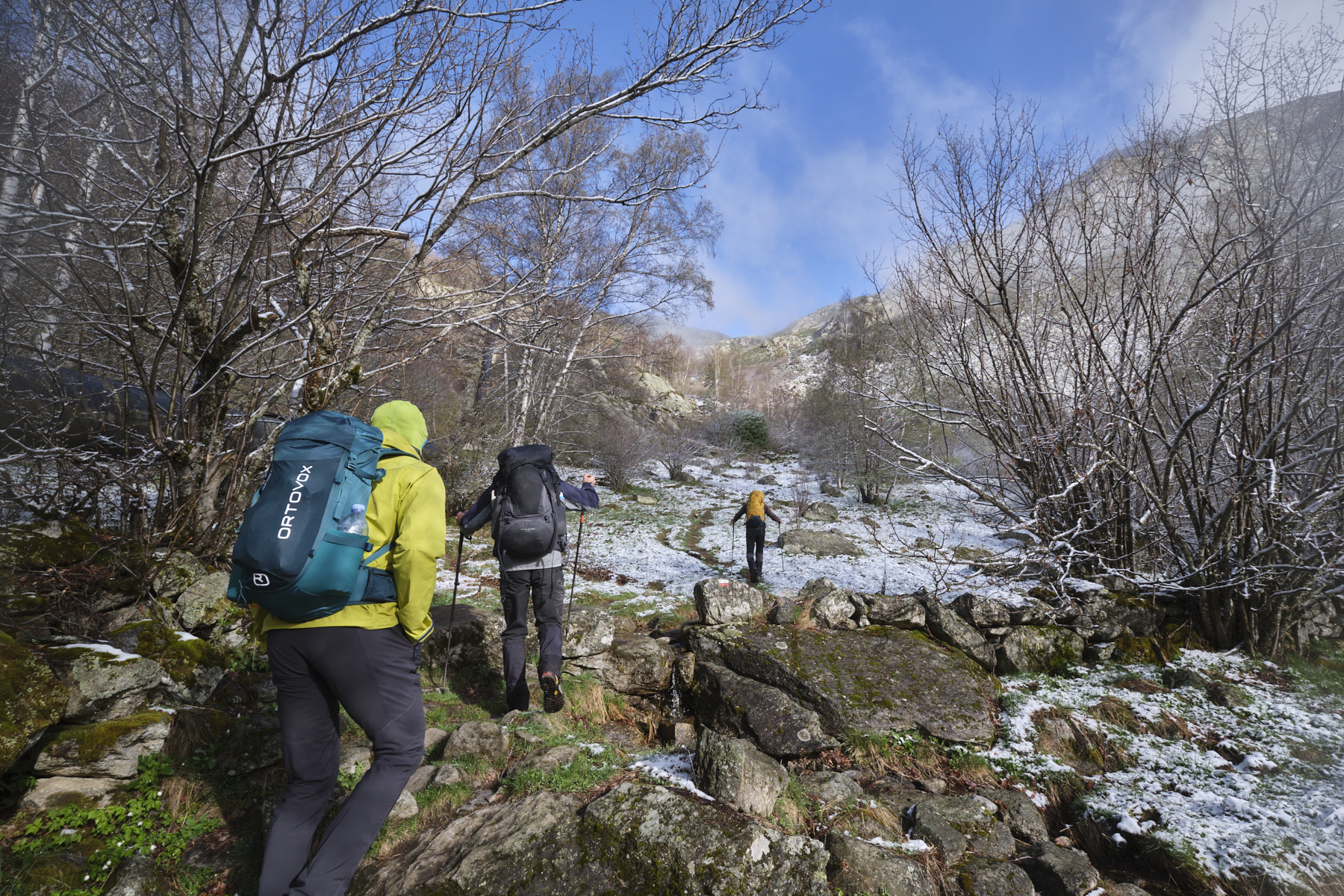
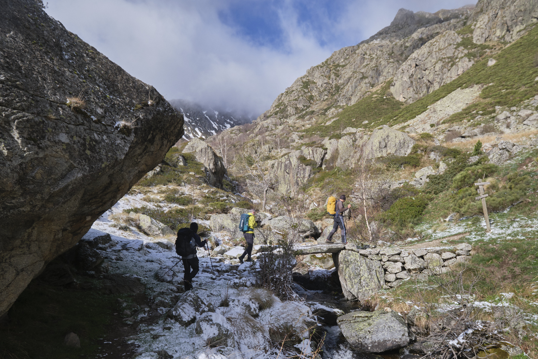
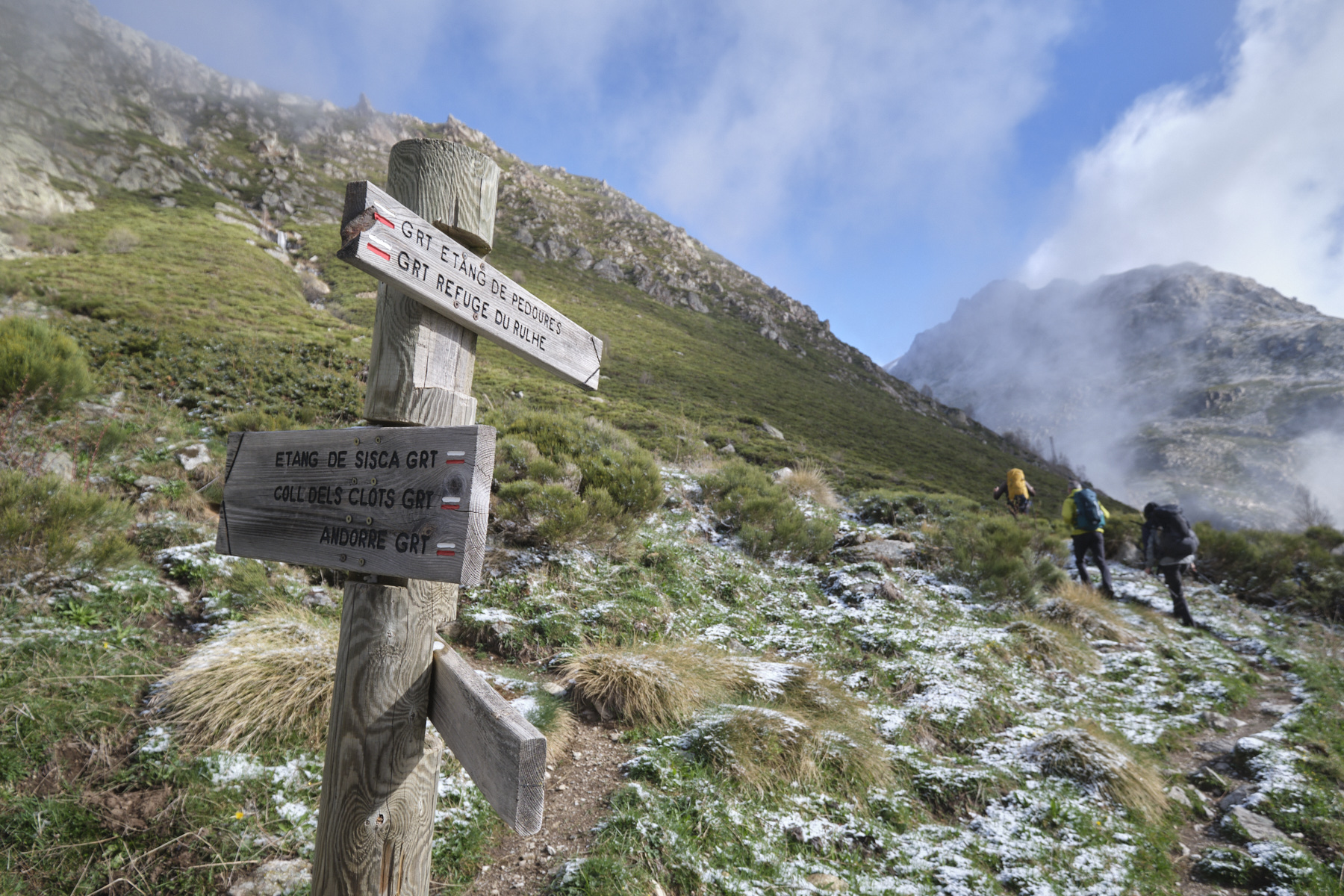
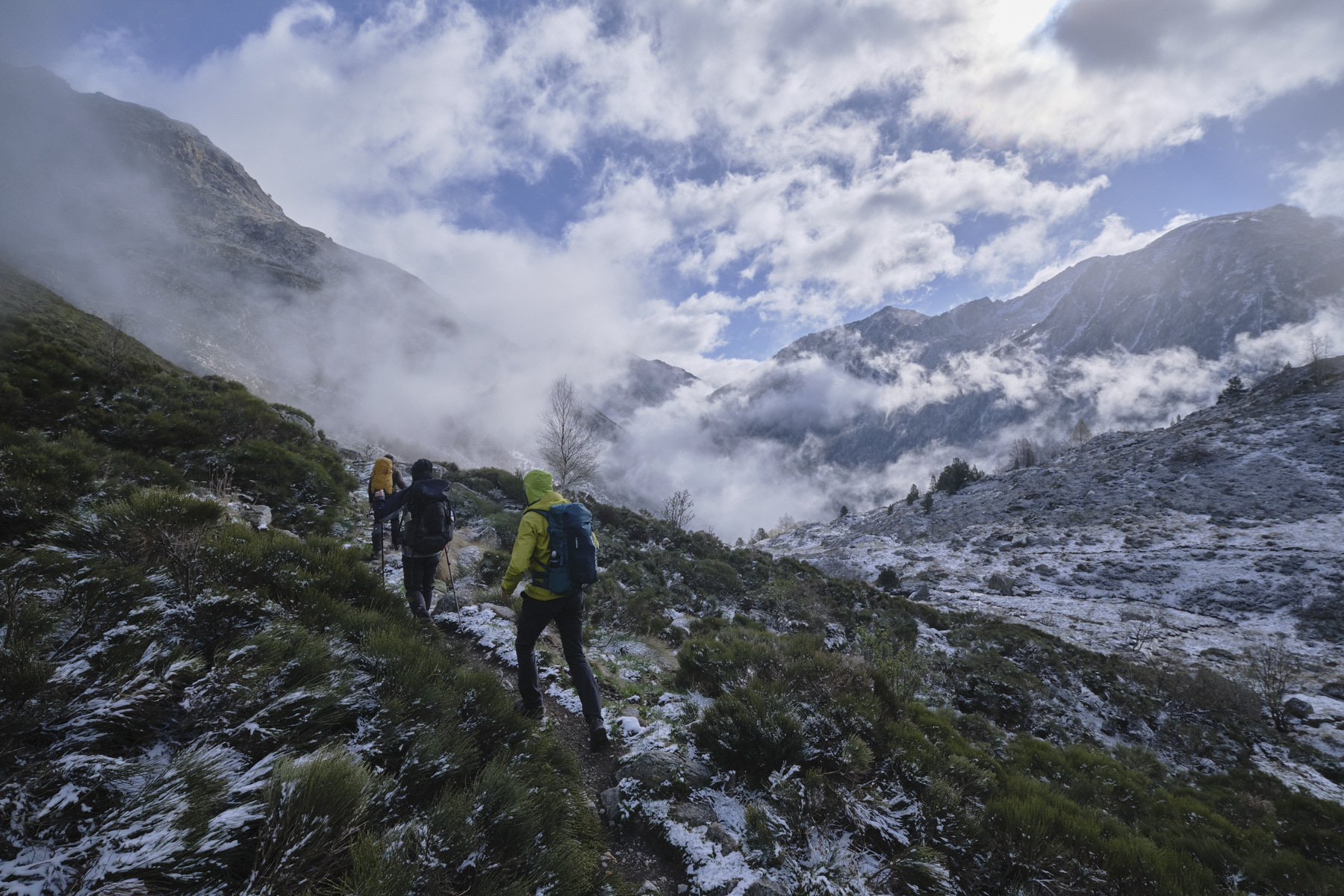
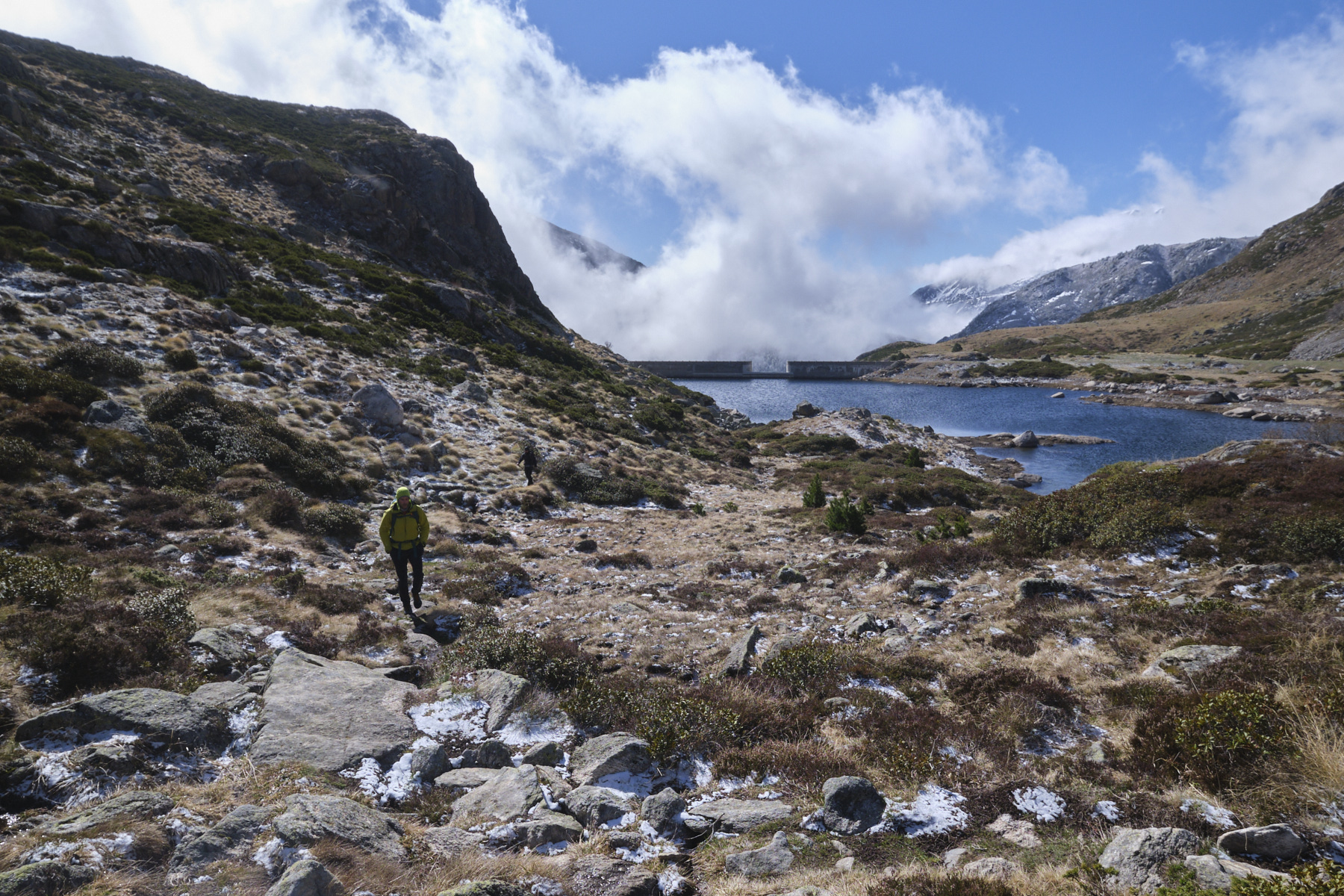
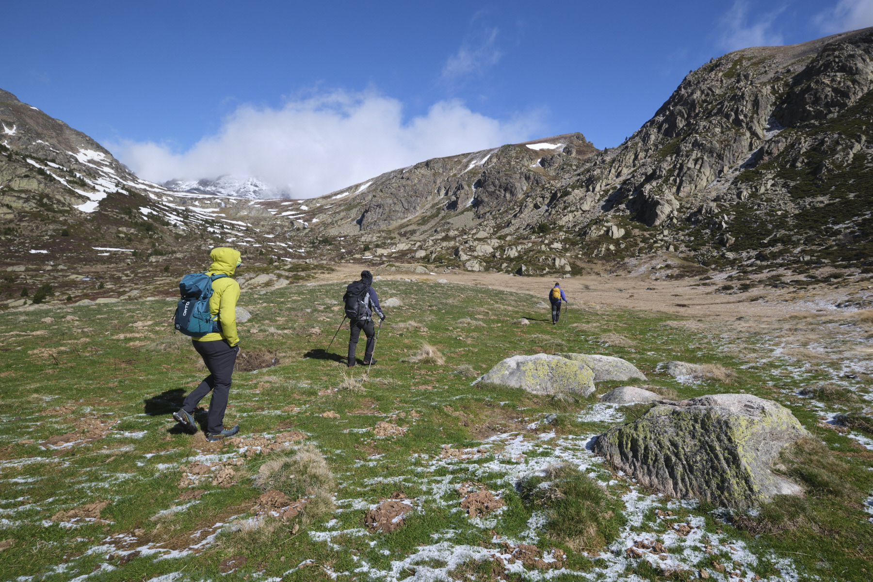
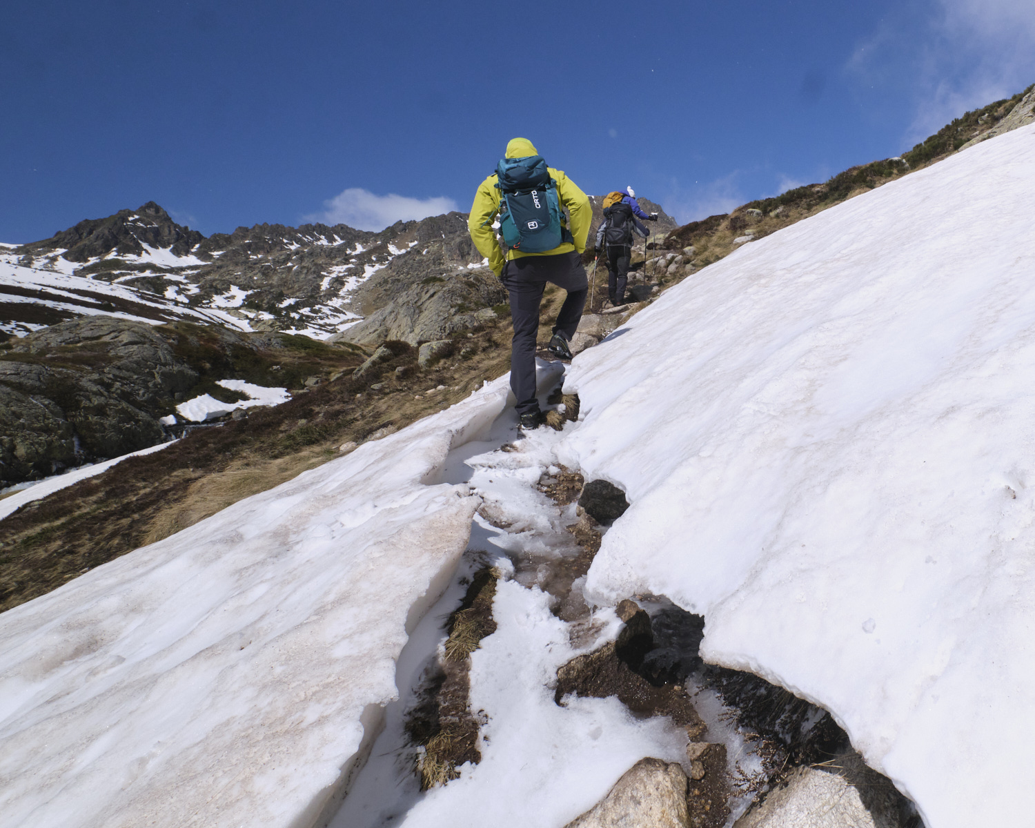
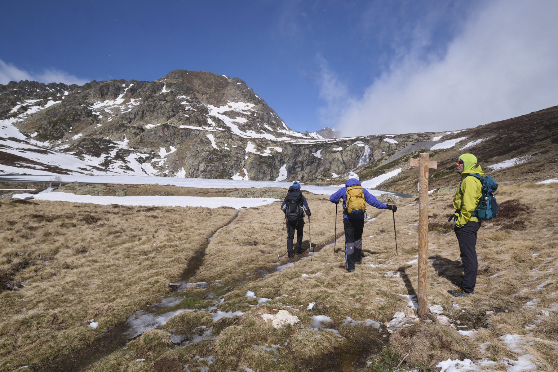
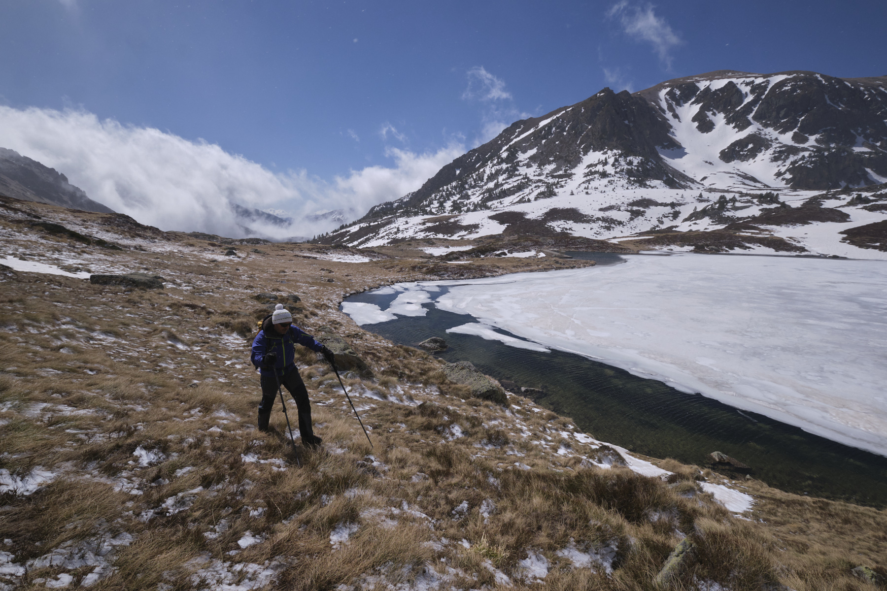
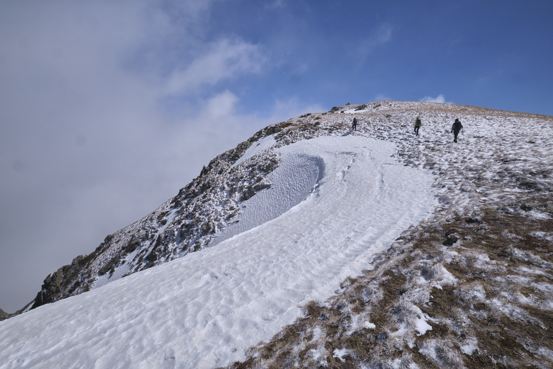
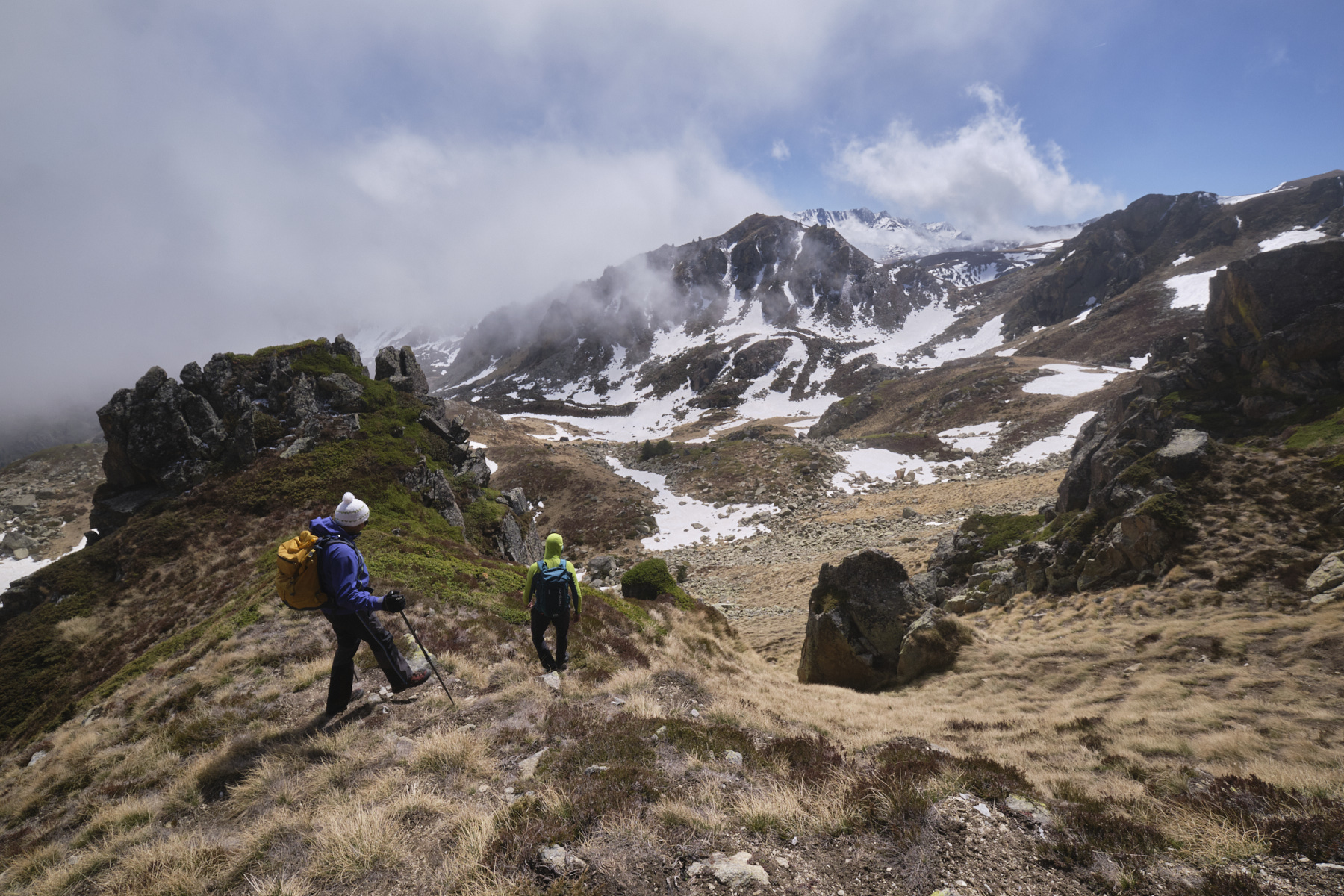
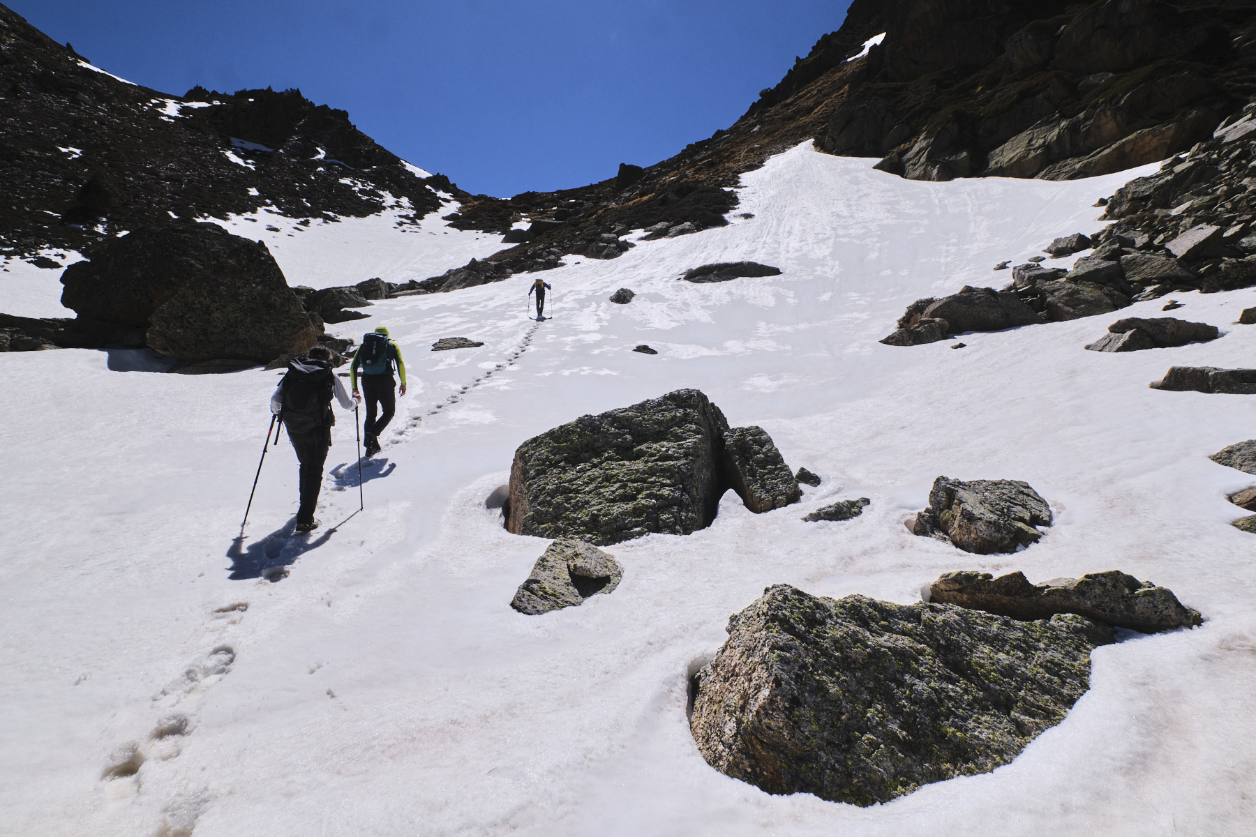
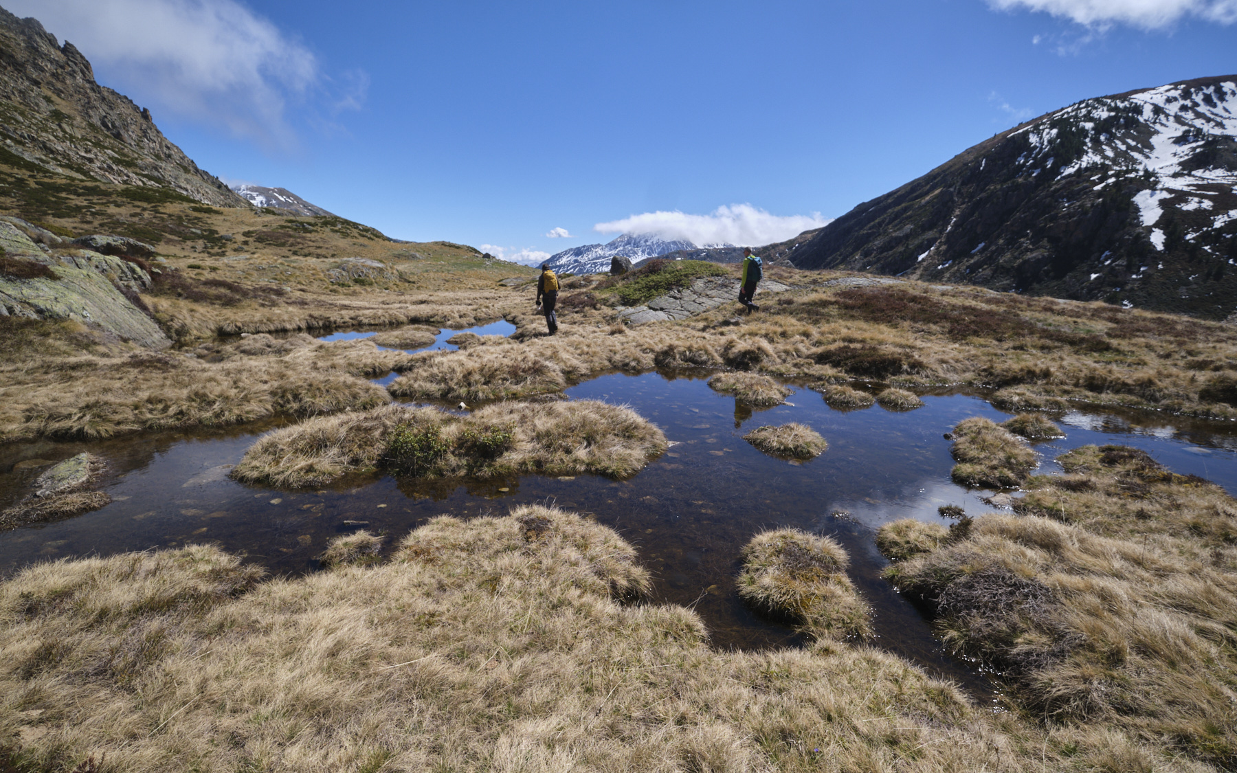
Backtrack to the parking lot, cross the N20 and take the GR up the opposite slope. The path then enters undergrowth and runs more or less alongside a huge penstock. You come out at the bottom of the Siscar valley. Follow the GR to the stone bridge over the stream, then fork right towards the Pédourès pond and the Rhule refuge. The path then gradually climbs up a wide slope to reach the upper valley of the Val d'Arques stream. You finally reach the first small dam on a pond, which the GR follows to the right. You then enter a large jasse, the jasse de Brougnic (the hut is up on the right). Cross the jasse and climb up a steep slope along waterfalls to reach a second small dam on the Pédourrès pond at 2170m.
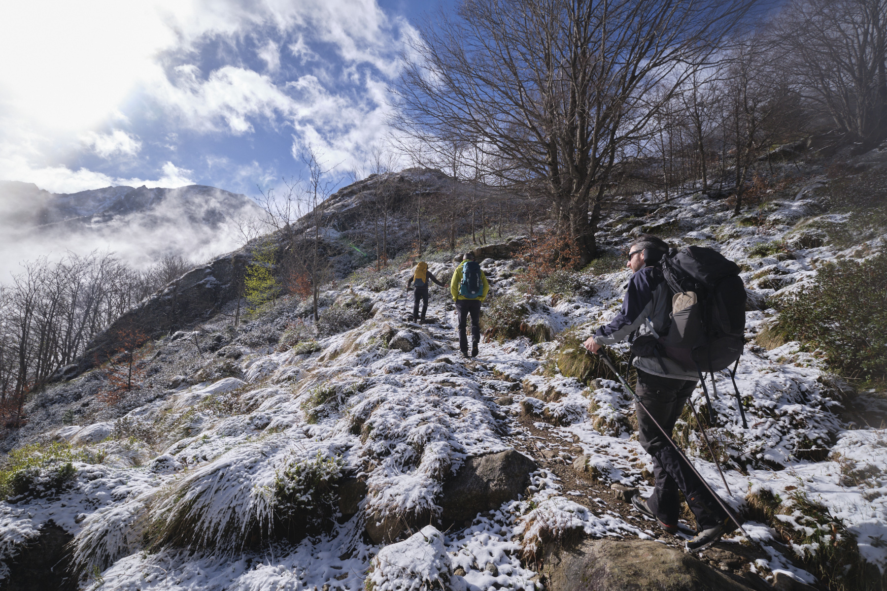
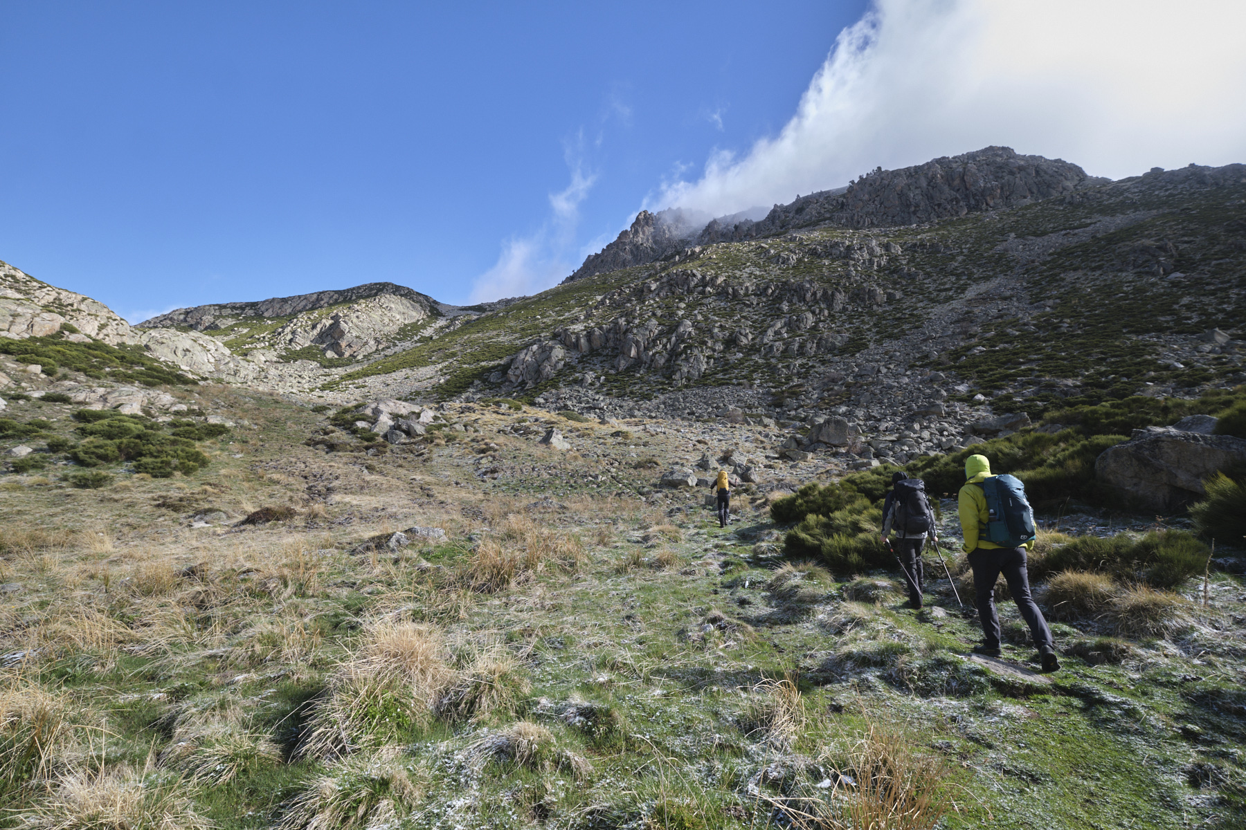
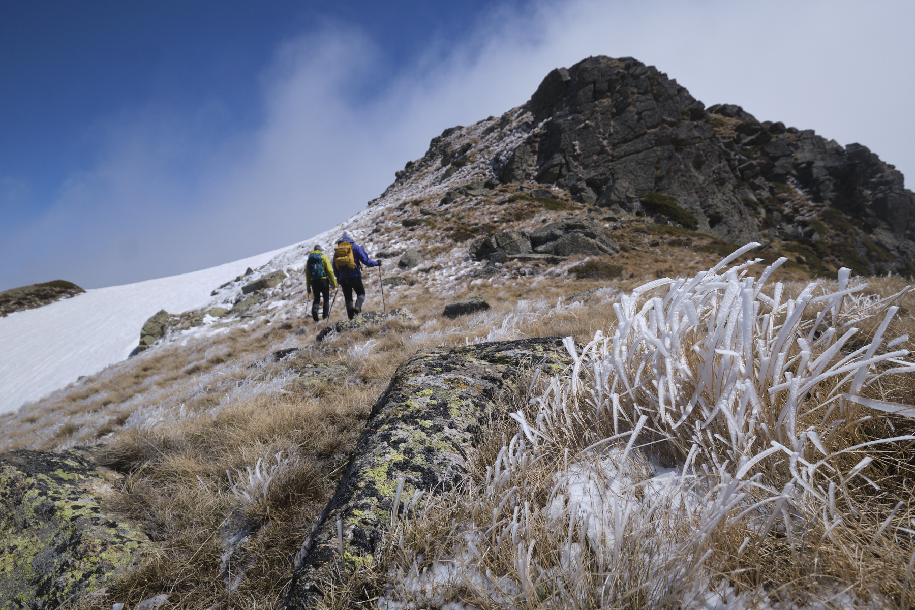
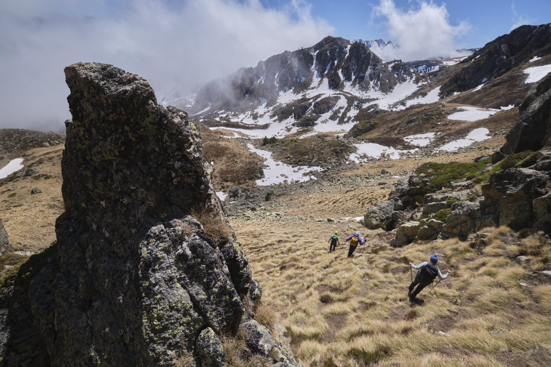
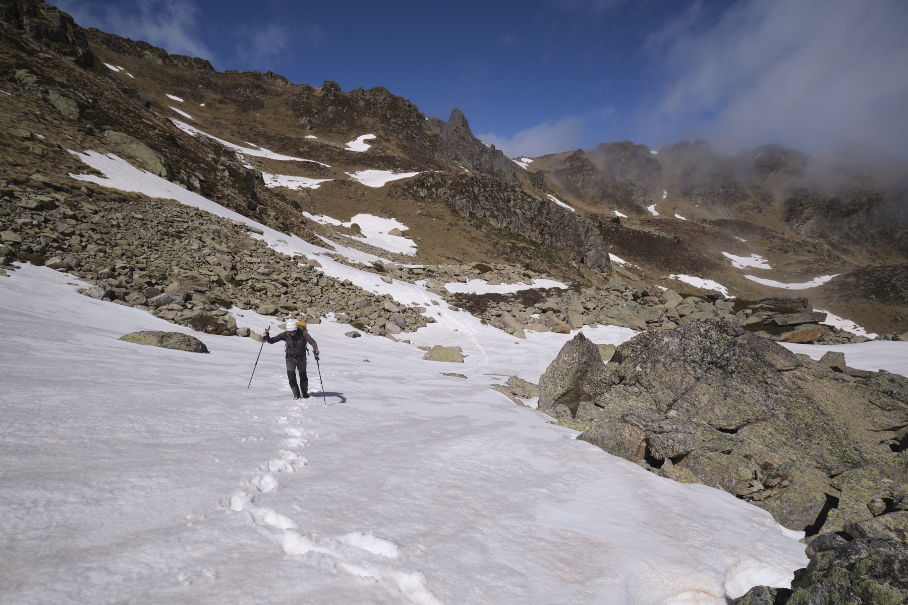
2nd part: Tose de Pédourrès and the ridge to Pic Vaillette d'Esteil (2468m, 1h to 1h30)
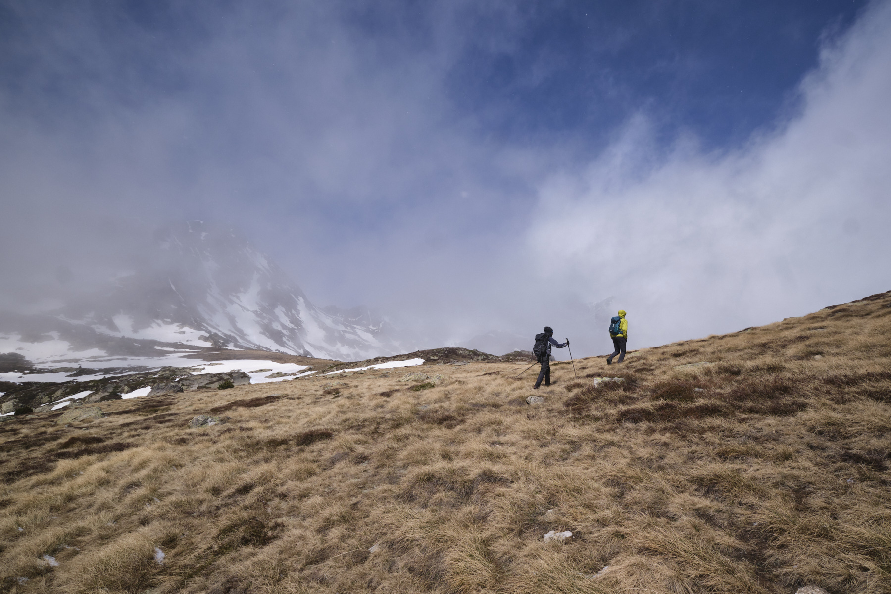
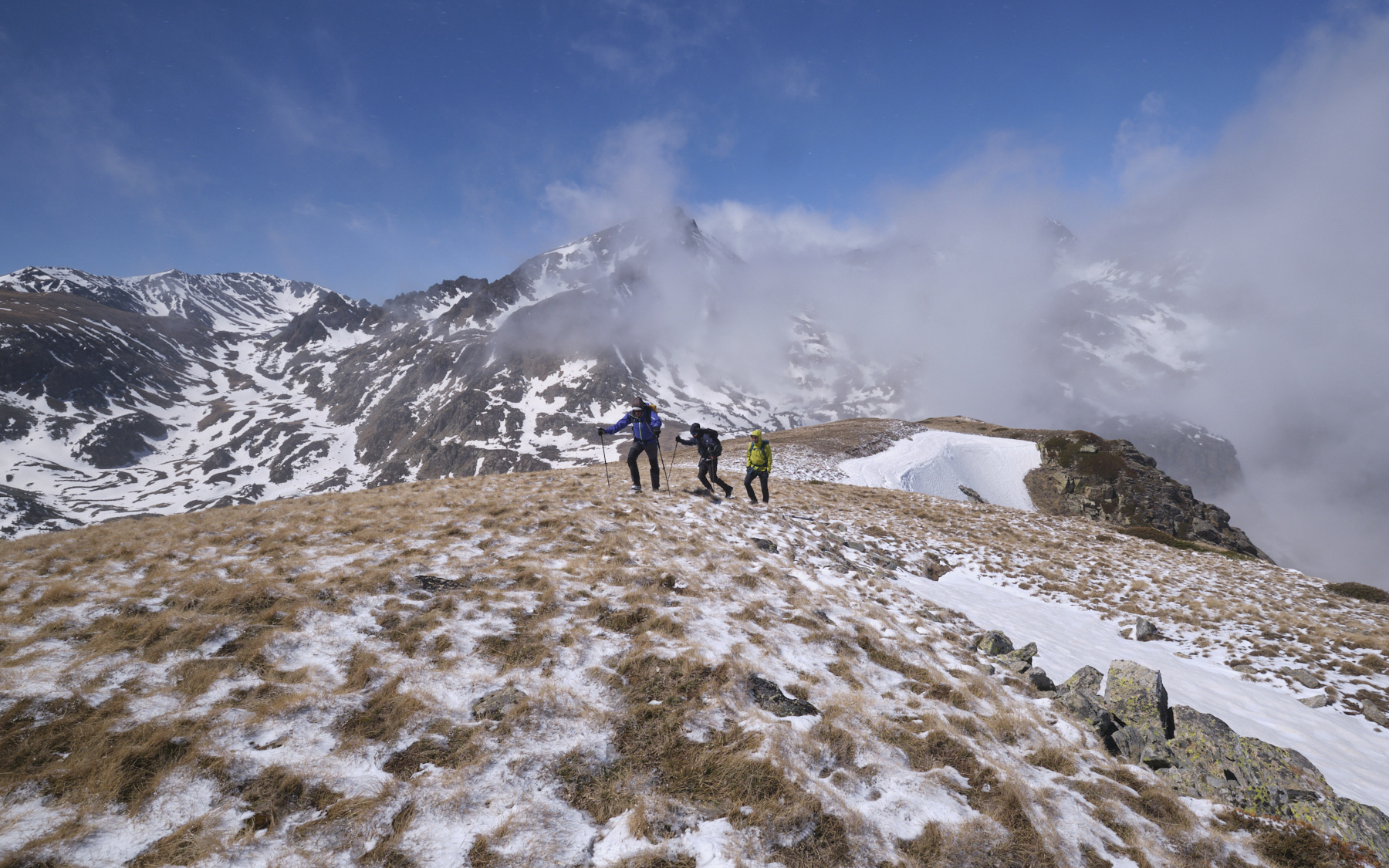
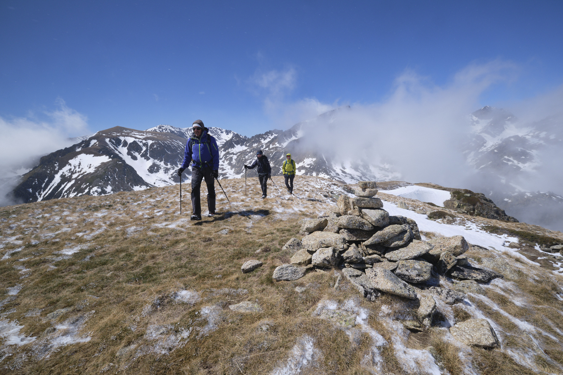
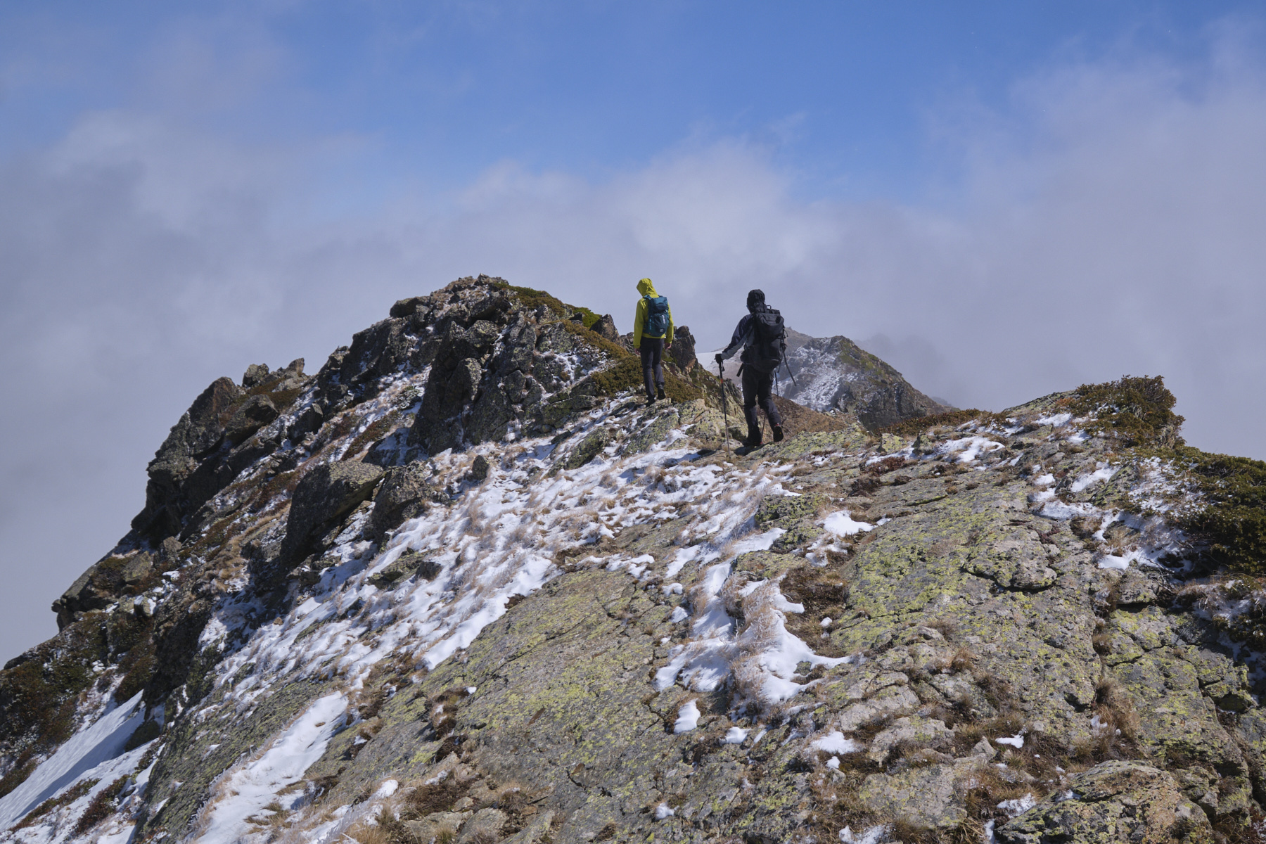
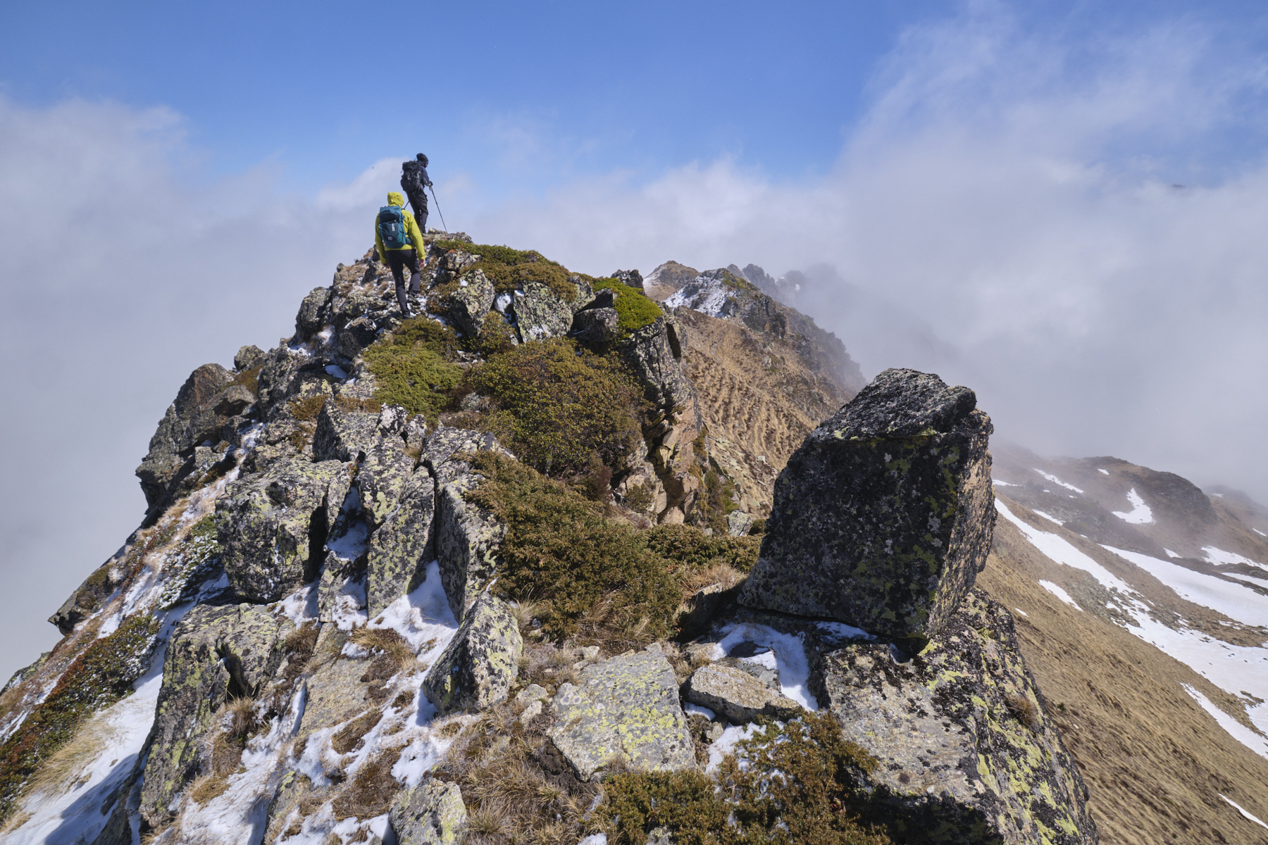
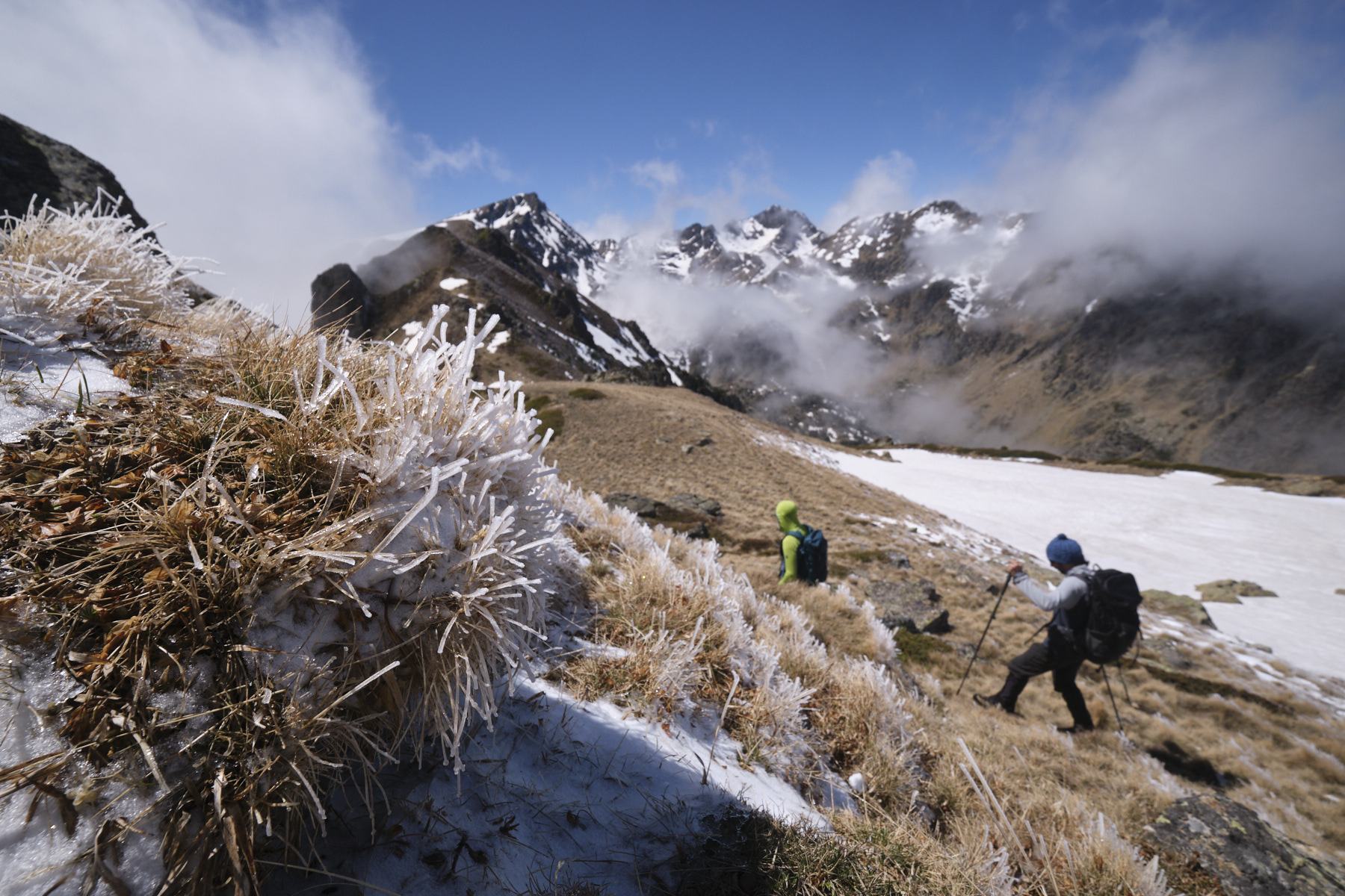
Continue on the GR for a short distance to climb above the pond, then leave it to reach the base of the broad west ridge of the Tose de Pédourrès. Gradually ascend the long dome, rounded on its southern side but steep to the north, with plunging views over the valley of the Mourguillou stream. End on the summit of Tose de Pédourrès (2468m). Continue eastwards to discover the undulating ridge that leads straight to Pic Vaillette d'Esteil.
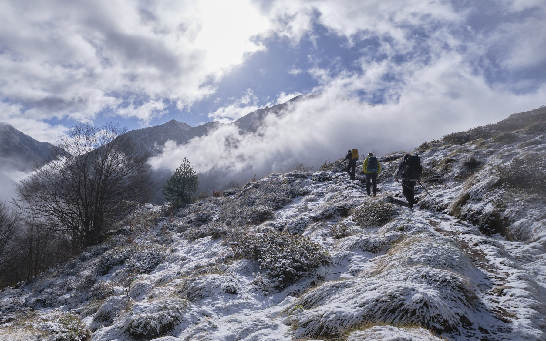
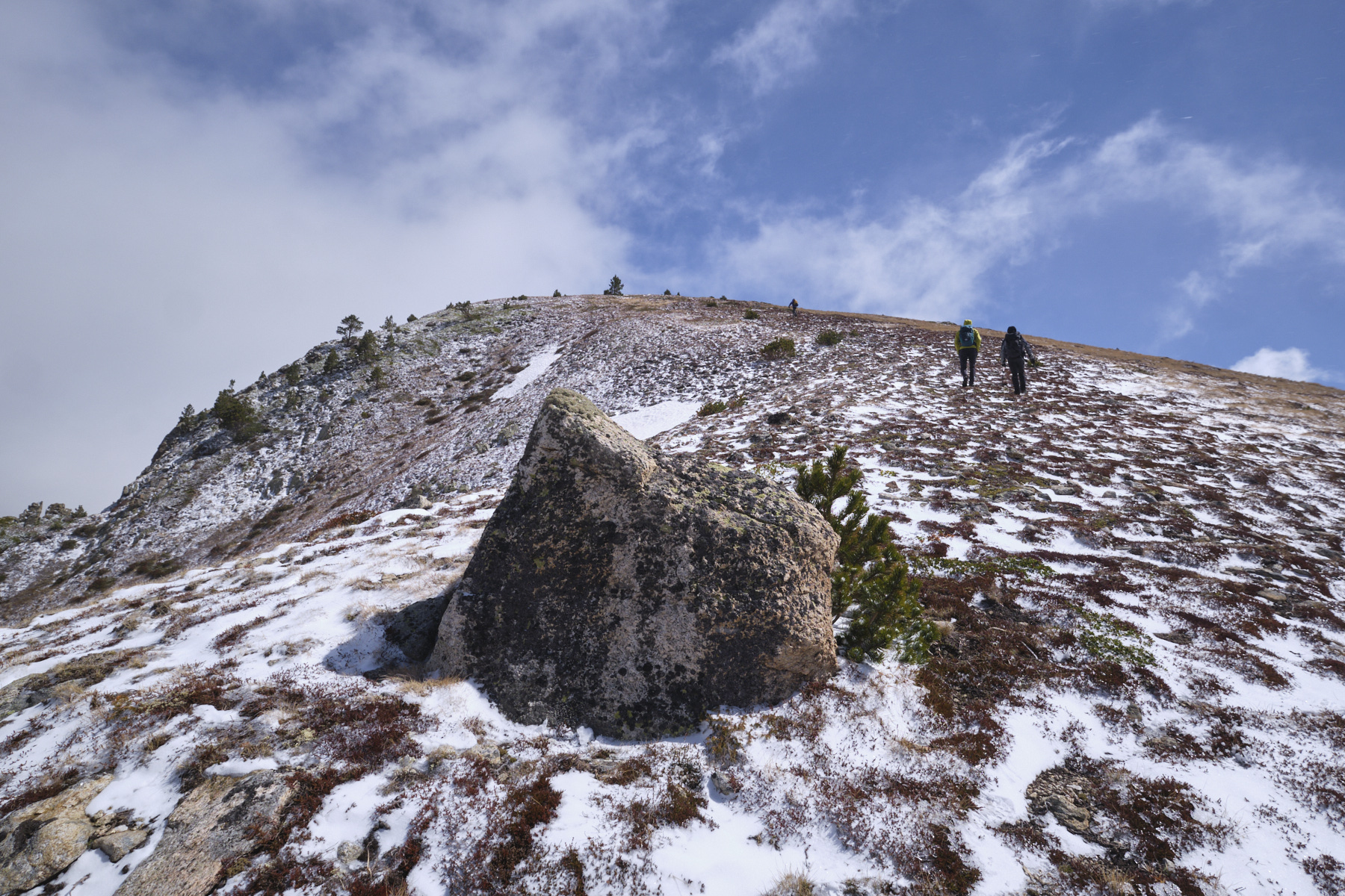
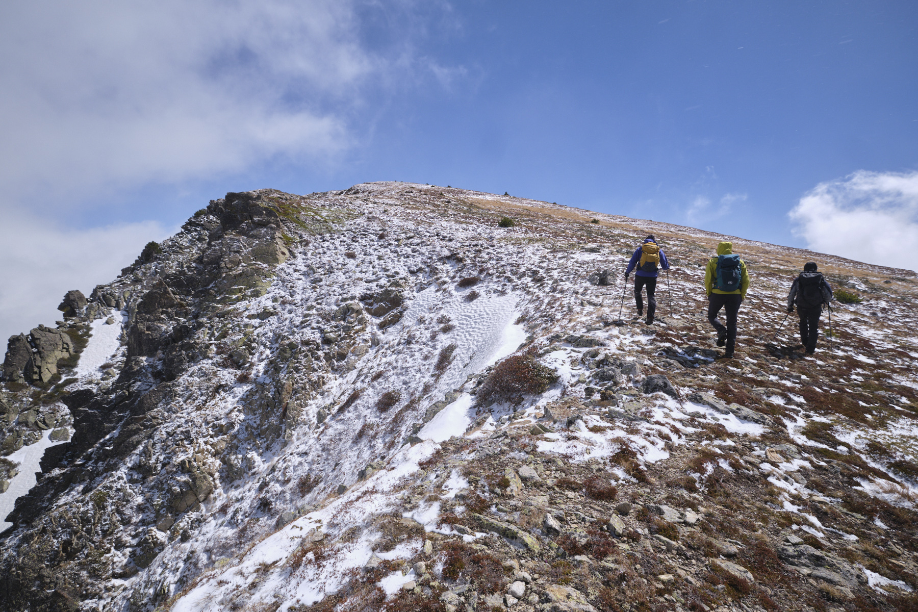
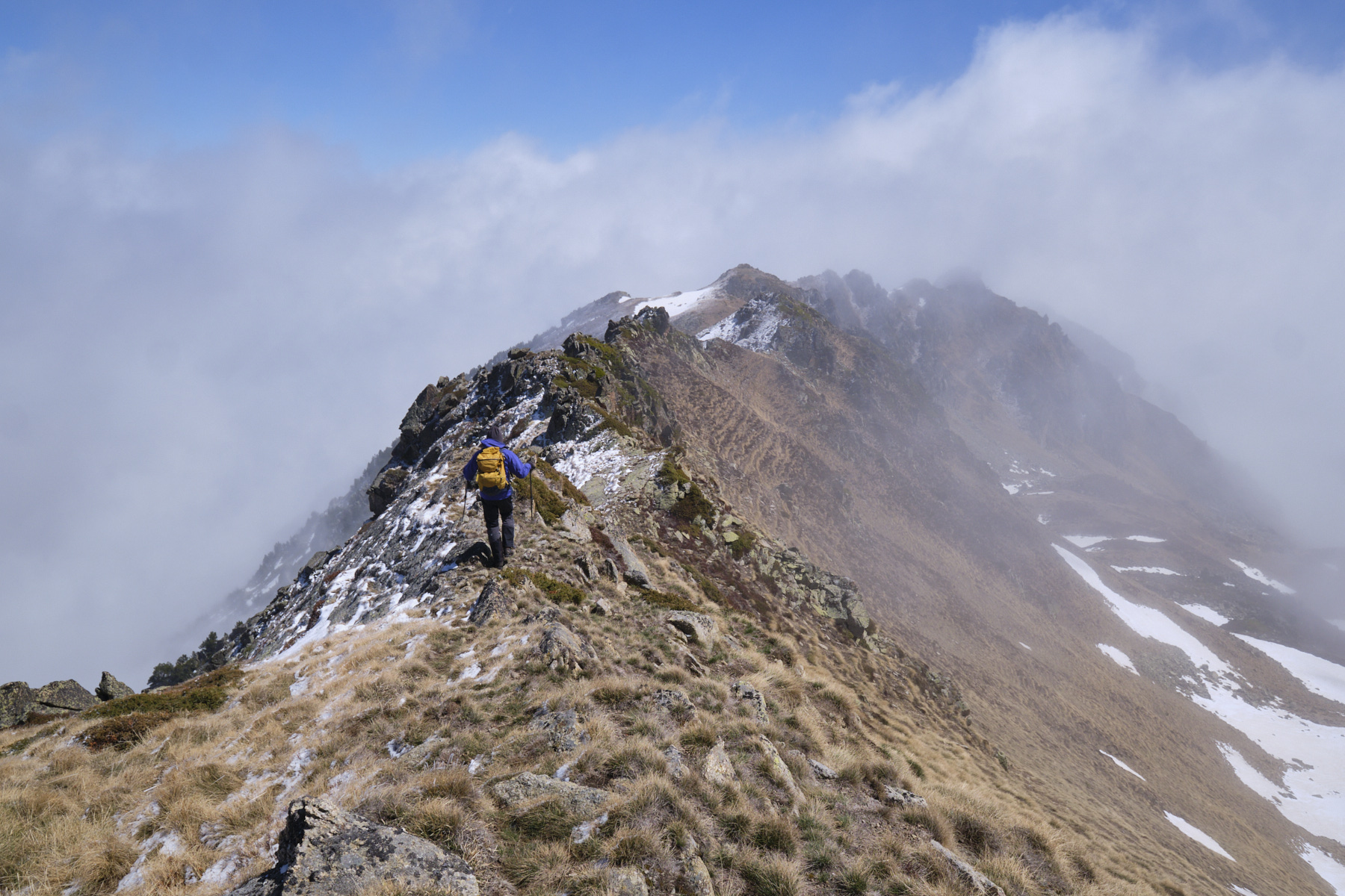
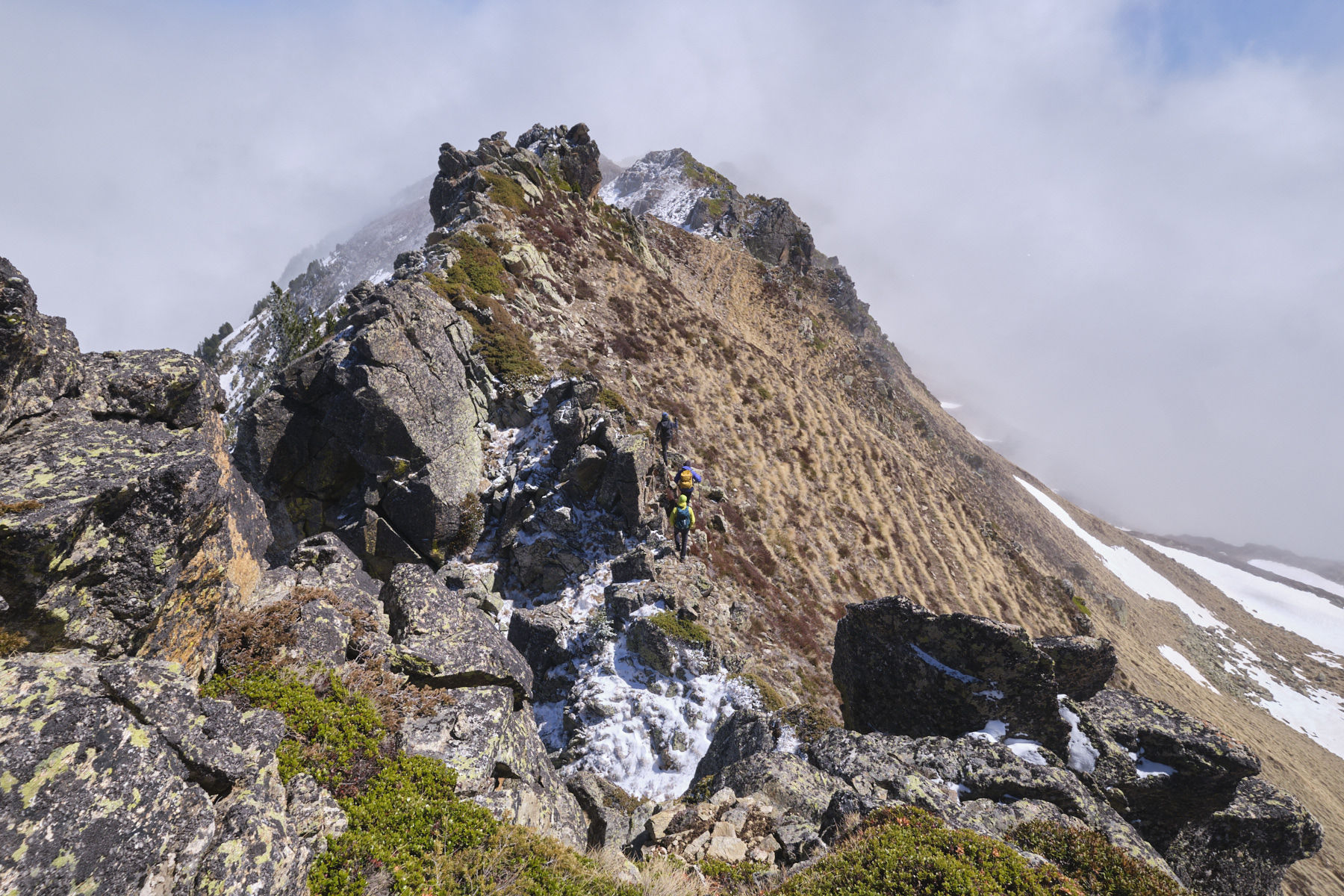
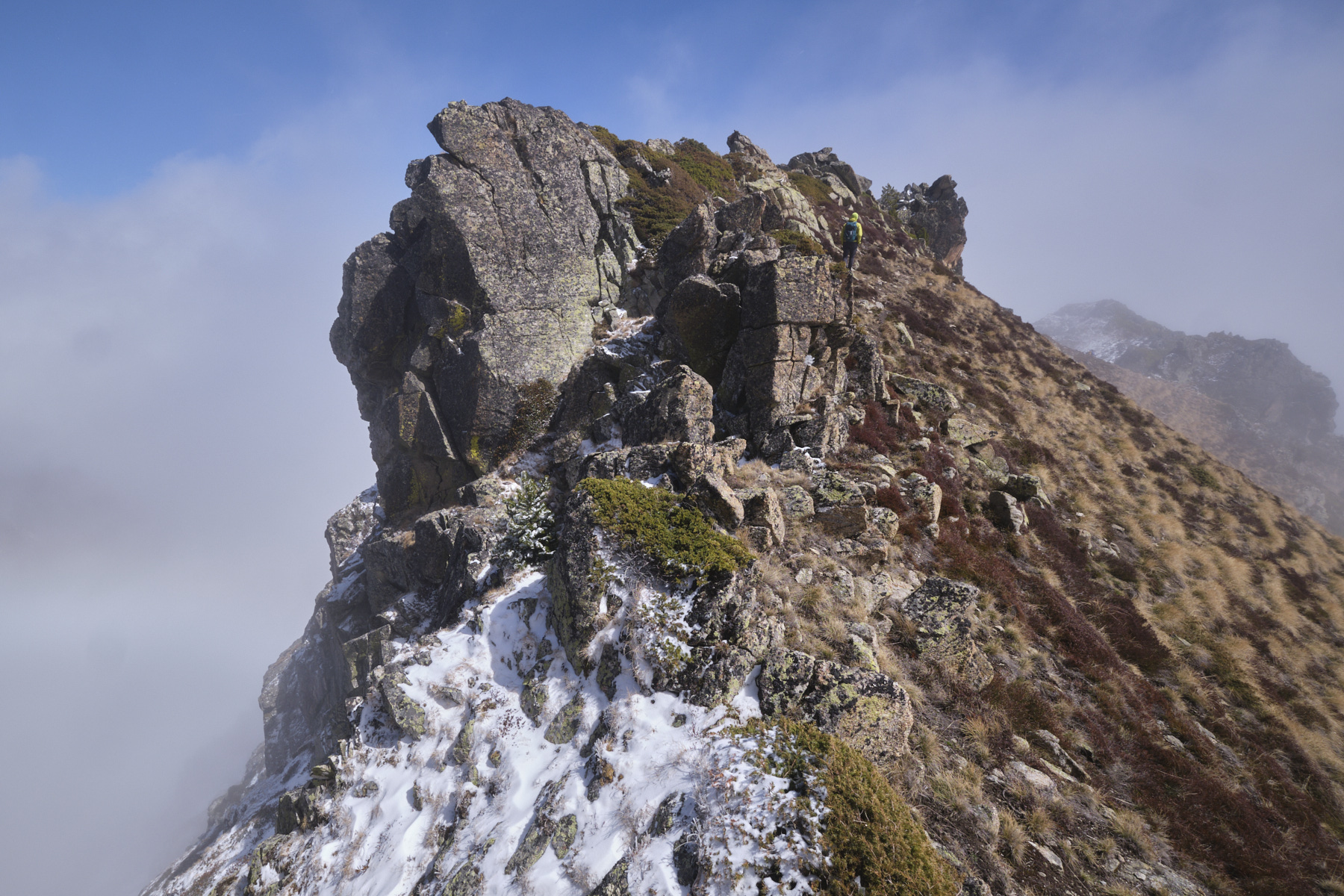
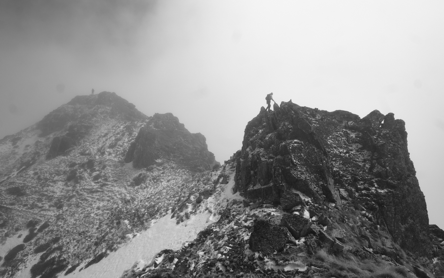
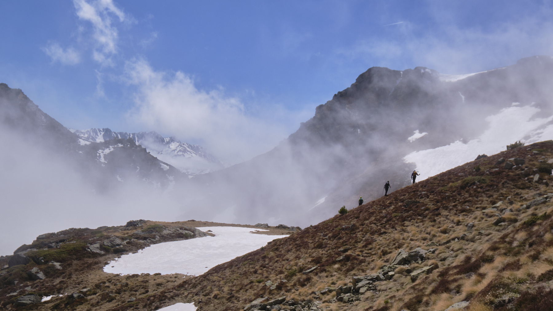
The first part of the ridge is more aerial and chaotic. You can stay as close as possible to the edge of the ridge, putting your hands down a little to climb or unclimb. Otherwise, avoid obstacles on the right. Further on, you come to an avoidable gap, which you can avoid by unclimbing about ten meters to the right (no III expo). The rest of the climb is easier, with small promontories to the right and then to the left. Finally, descend to pass a fairly wide col and climb a hundred metres or so to reach the summit of Pic Vaillette d'Esteil (2427m).
3rd part: return via Porteille de Coume Vieille (2h)
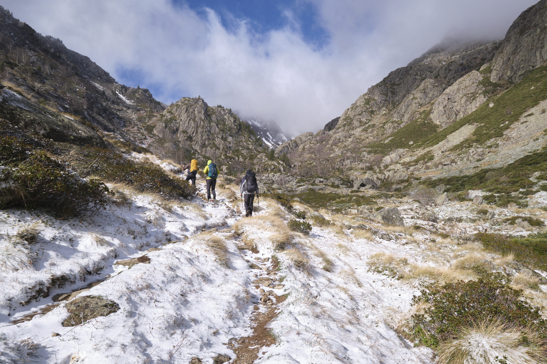
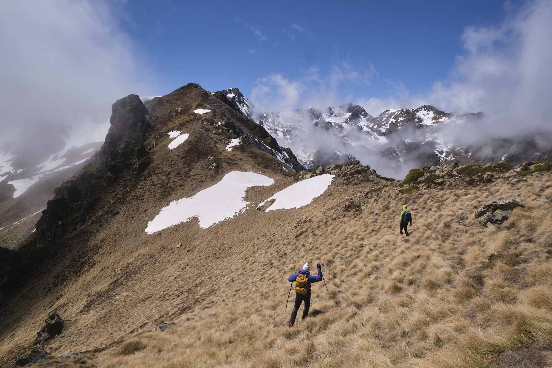
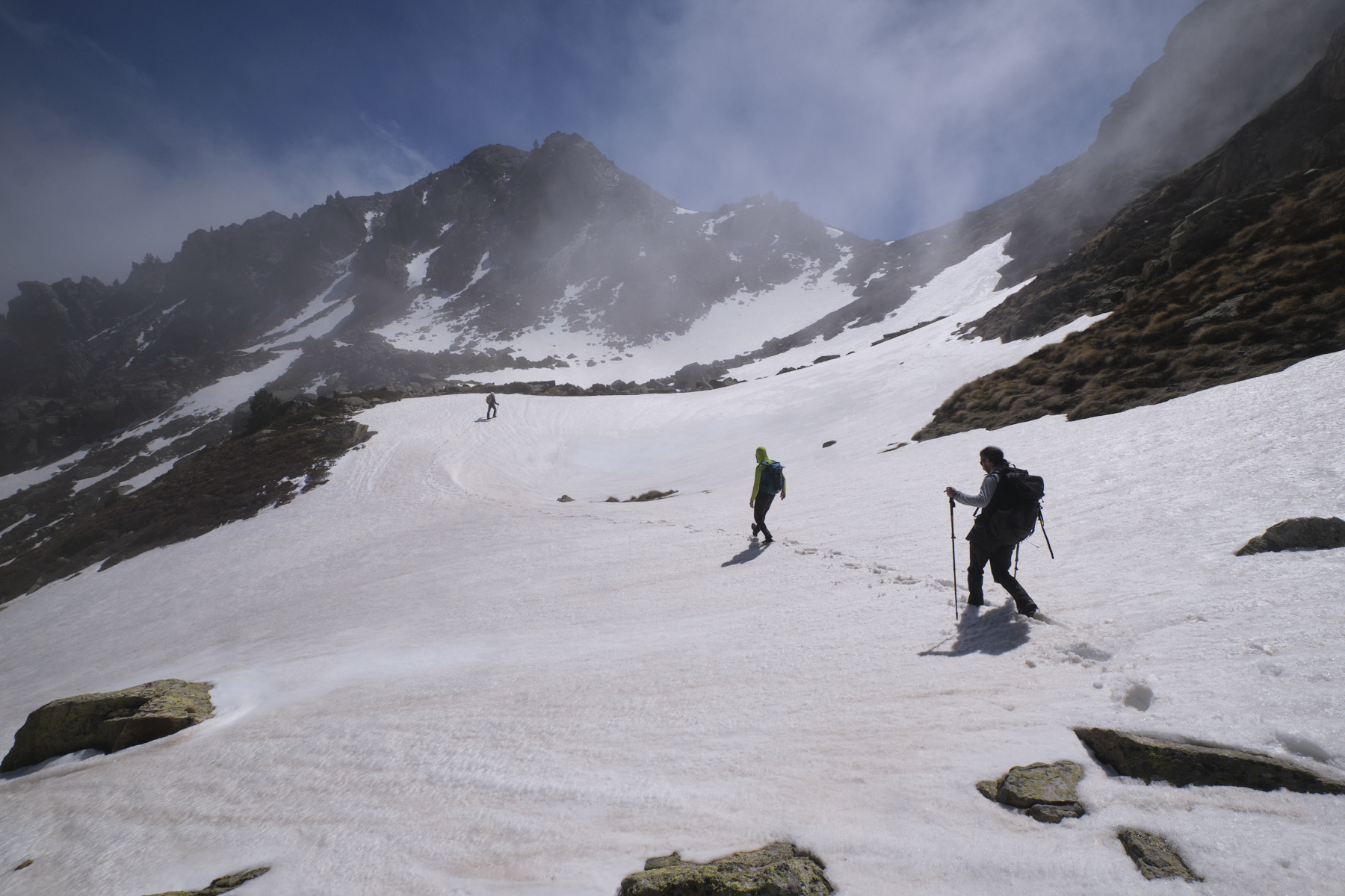
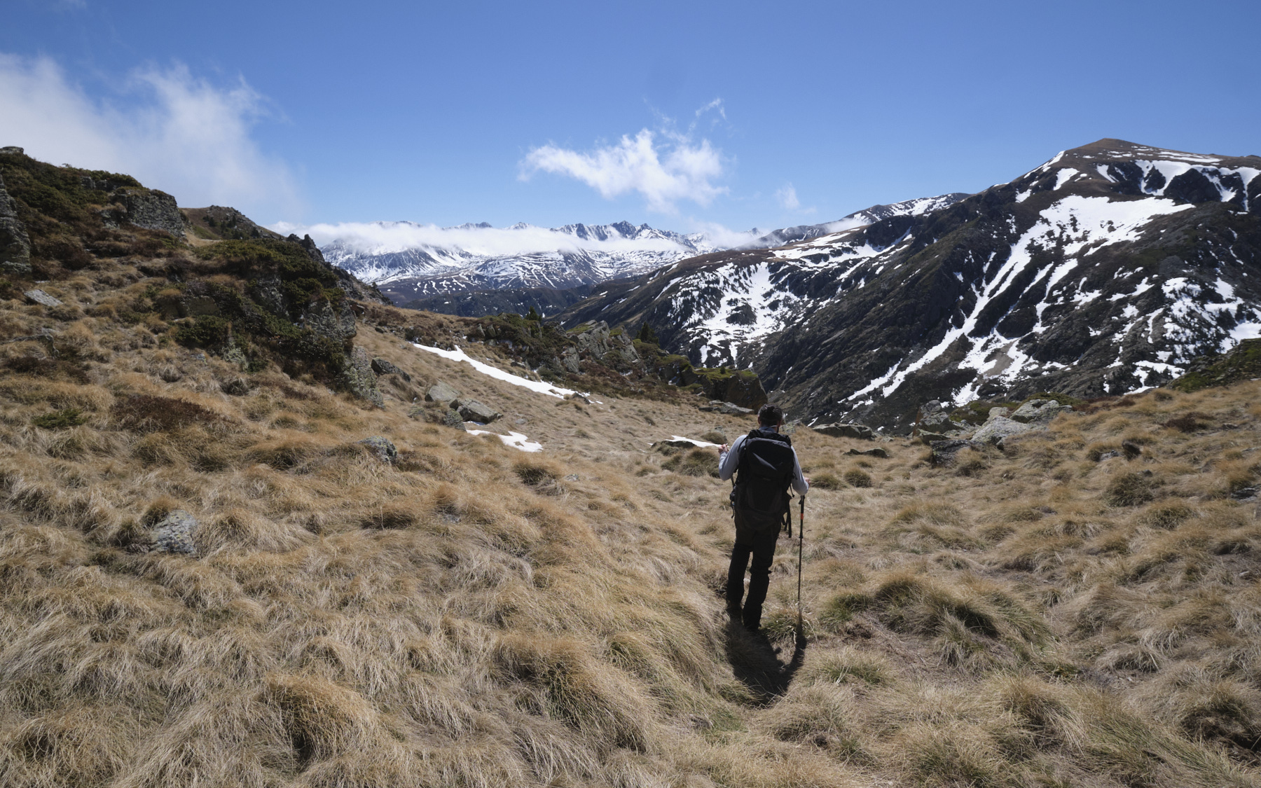
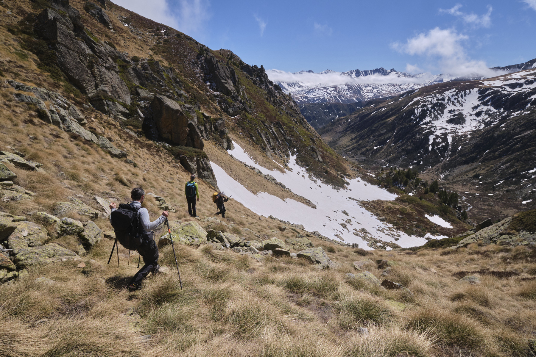
Retrace your steps to the pass before the Pic and descend to the left on a steep, gispy slope. Pass under the bars, but stay as high as possible. After crossing a small shoulder in front of a rocky protrusion, descend a little further (steeply!) and as soon as possible traverse the cirque without losing altitude, coming to rest just below the Porteille de Coume Vieille, clearly visible from the Pic. Climb steeply to pass the Porteille and switch back to the Val d'Arques side.
From the Porteille, keep to the left, staying high, and further on find a grassy gully that descends due south, then a narrower but not too difficult couloir to find the GR at the bottom of the climb. Finally, take the opposite route back to the Hospitalet parking lot.


 Partager sur WhatsApp
 Partager sur Twitter
Partager sur Instagram
Partager sur Twitter
Partager sur Instagram

 Partager sur Facebook
 Imprimer le topo
 Laisser un commentaire


Leave a Reply