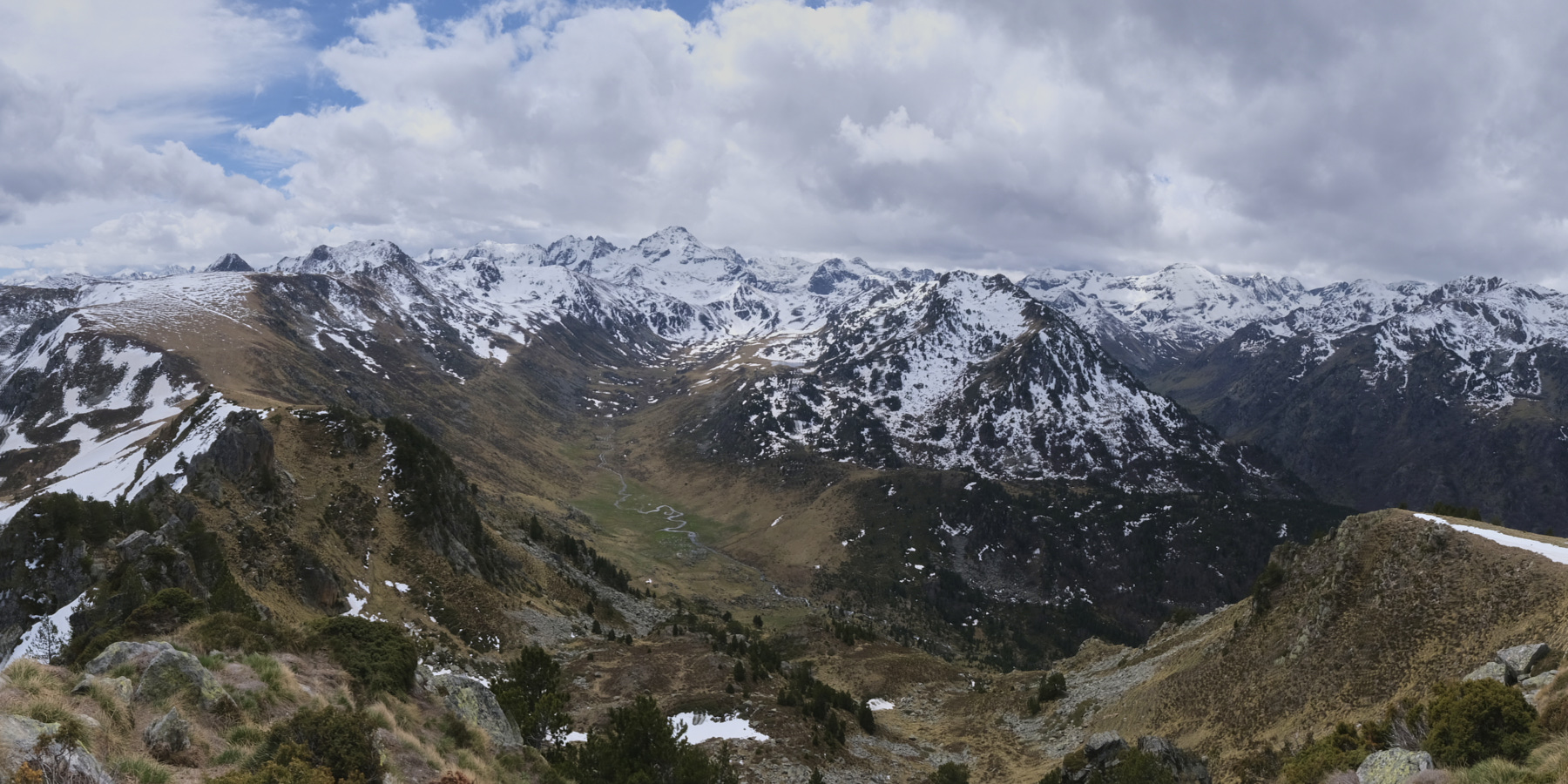
Nice route at the entrance to Aston to discover the Plateau de Beille and enjoy superb panoramic views of the Rulhes massif and the Rieutor valley from the Crête des Genibres. A long, traversing route starting from Jasse des Galis and ending at Etang du Laparan. A steeper section to reach the Col de la Didorte from the summit of the Crête des Genibres, but more impressive than difficult. With the exception of the Plateau de Beille, the rest of the hike takes place without passing anyone, immersed in the wild, little-visited Aston countryside.
❱❱ Technical summary
► Starting point: Jasse des Galis, between Etang de Riet and Etang de Laparan, Aston valley, Ariège (09) ►Type of route: cross-country hike ►Distance: 16.5 km ►Cumulative elevation gain: +1100 m ►Cumulative negative elevation gain: -750 m ►Estimated total time: 5h to 6h ► Min and max altitude: 1230 m / 2210 m ► Marking: we're mainly on the GR except on short sections to cut across: on the Plateau de Beille, from the summit of the Genibres ridge to the Didorte pass towards the Rieutord hut. ►Equipment in place: none ►Equipment to bring: GPS track may be useful.
Difficulties: the steep descent below the summit of the crête des Genibres is impressive from above but not so difficult, just airy, on a narrow path traversing steep slopes.
❱❱ Access to the place
On the N20 between Tarascon-sur-Ariège and Ax-les-Thermes, enter Les Cabannes and take the road to Chateau-Verdun and Aston. Pass these 2 small villages and continue towards the Rulhes refuge. Go past the Riet dam and, after about 5 km, park at the entrance to the Jasse des Galis, just after a bridge over the Aston stream.
As the end of the hike is at the Laparan pond, you may be able to leave a second vehicle higher up. Alternatively, walk the 5 km back along the road or, better still, hitchhike with the vehicles that often come down from Pla des Peyres.
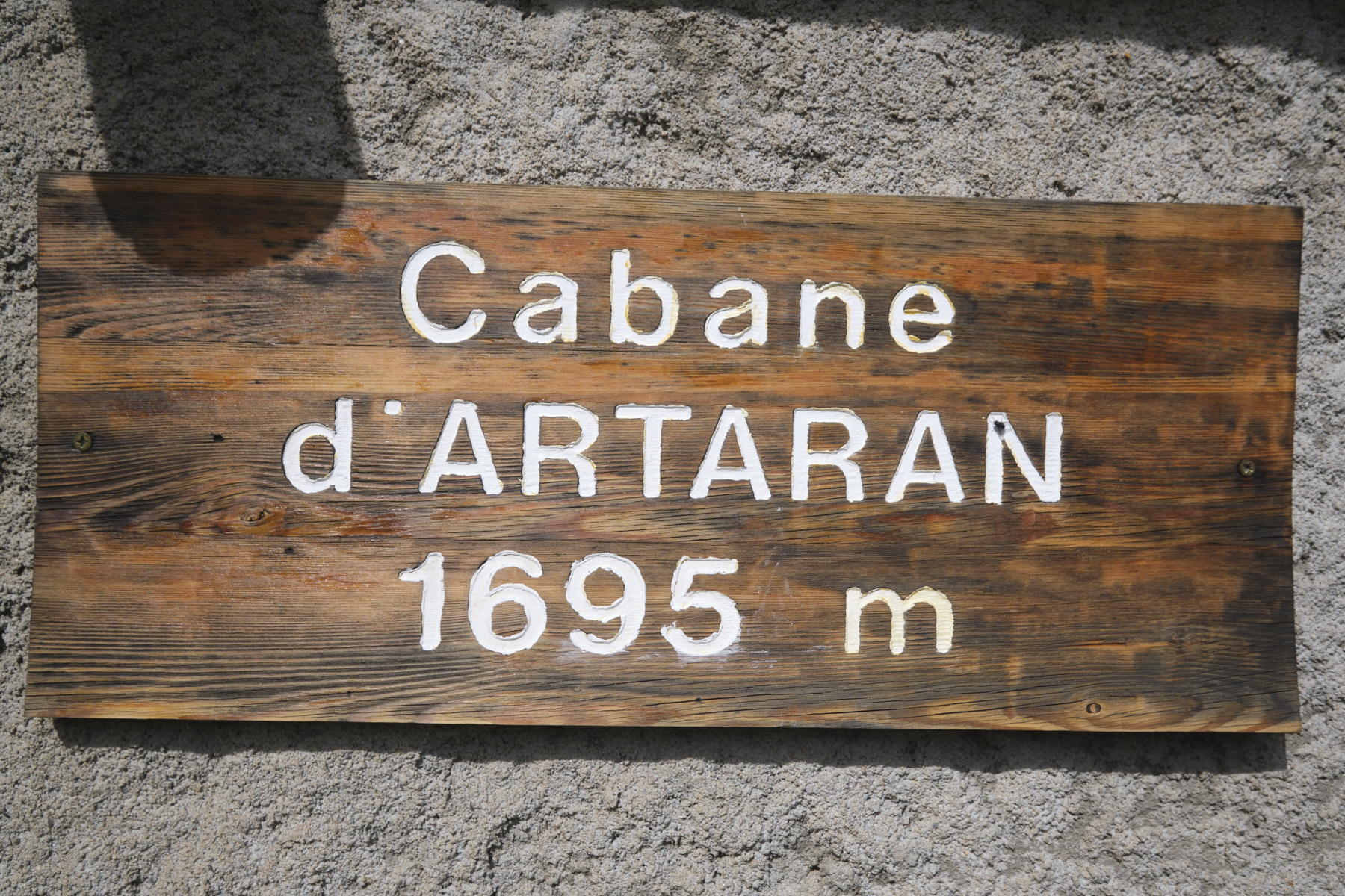
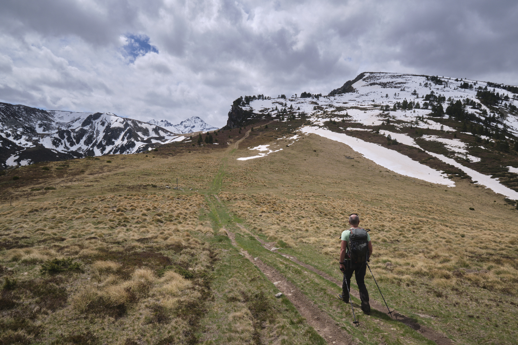
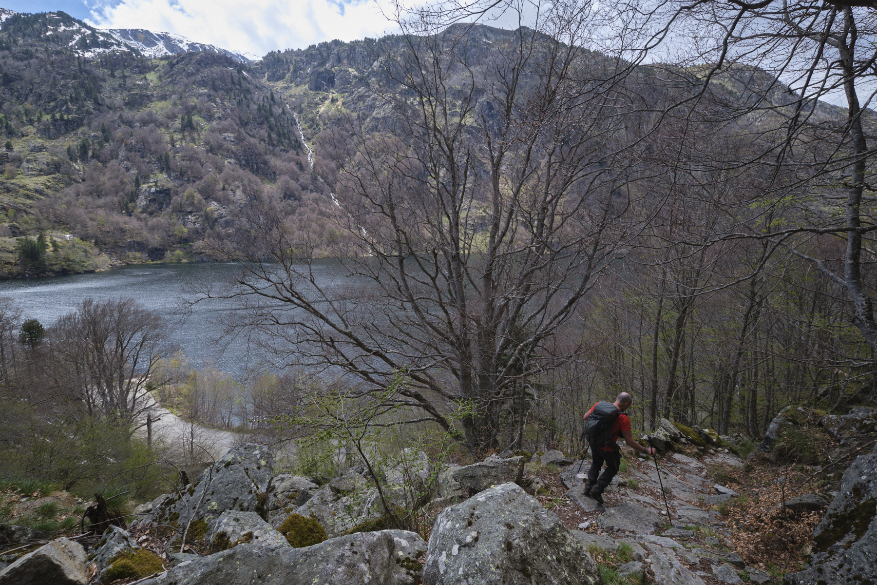
Part 1: Cabane d'Artaran and Plateau de Beille (1939m, 2h to 2h30)
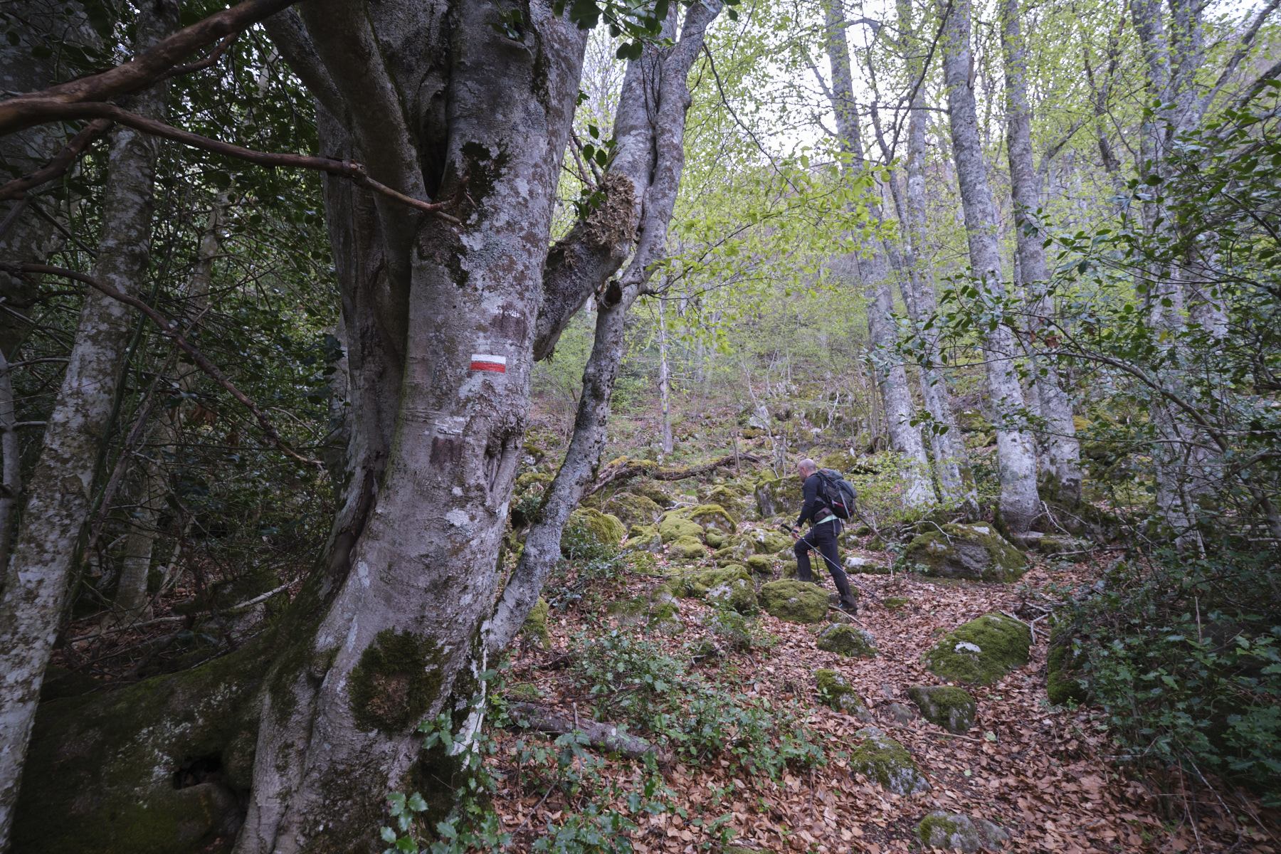
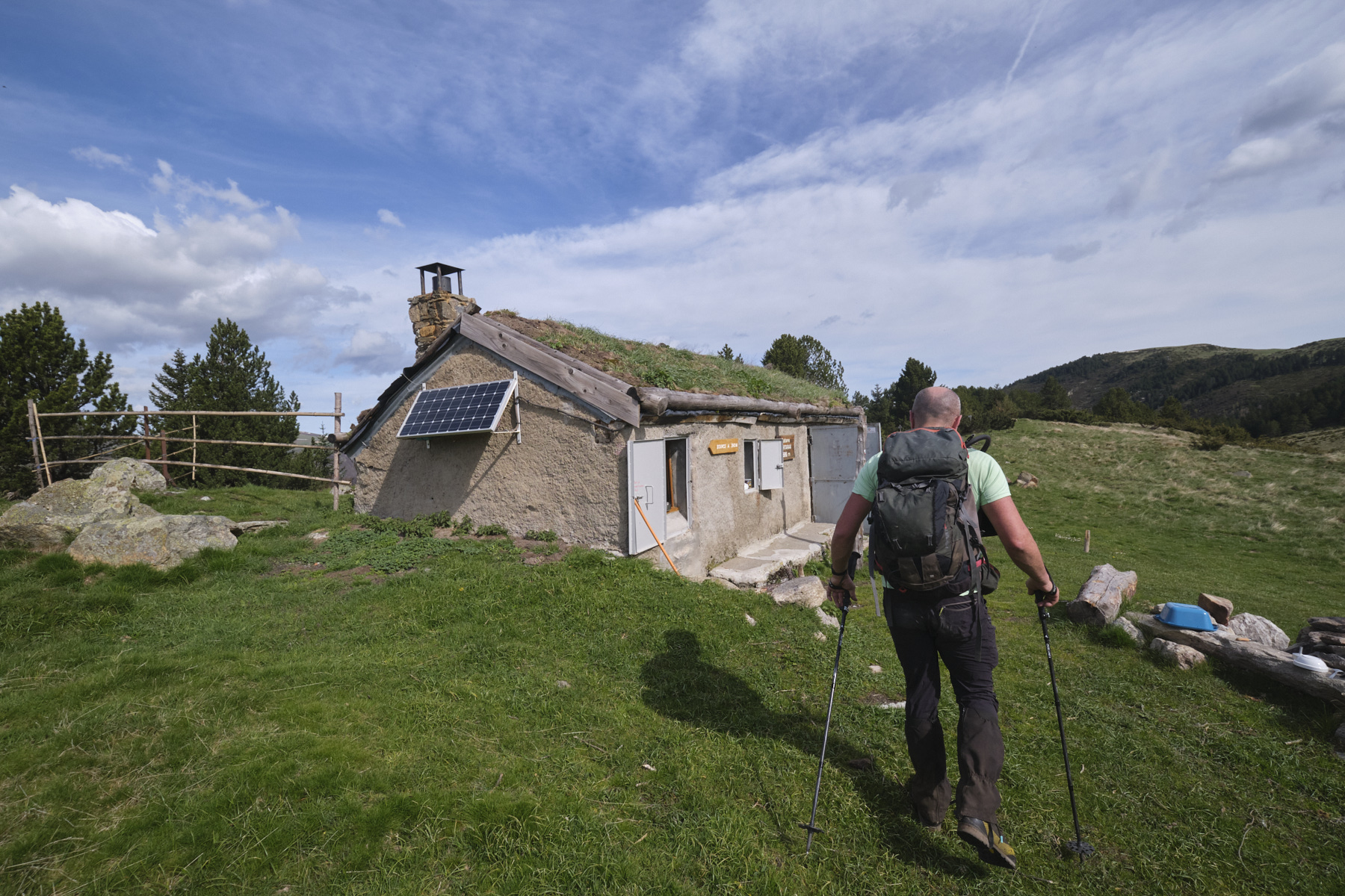
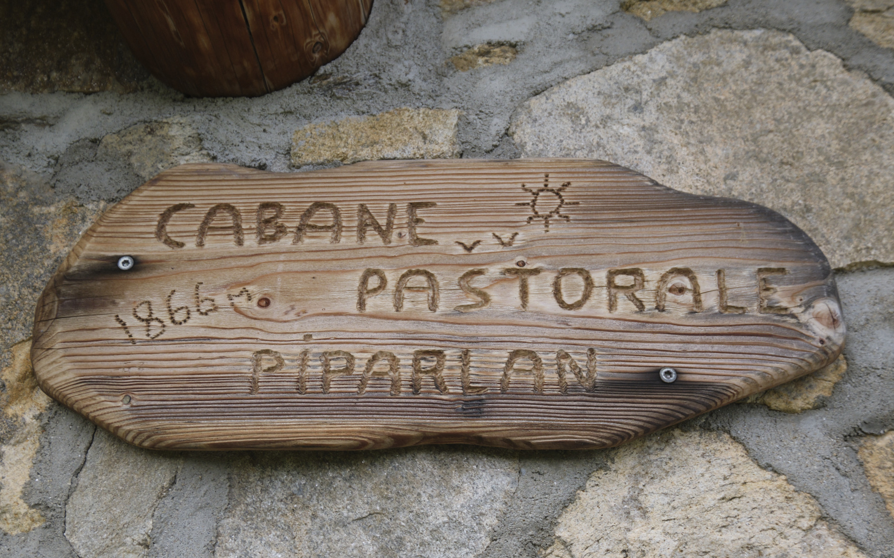
From the Jasse des Galis, take the grassy track that climbs very gradually into the forest until it crosses the GR coming from the Riet dam. Here, the warm-up is over, and the trail climbs steeply until it exits 300m higher up into the large Jasse d'Artaran, level with the hut. Cross the jasse on the GR heading north, and at the first fork in the road, turn right onto a yellow-marked track towards the Piparlan hut. Pass the hut and follow the track which bends due north as far as the Quatre Chemins crossroads, at a large cow-pen. From here, turn right again onto the GR10 and climb slowly to the top of the Plateau de Beille.
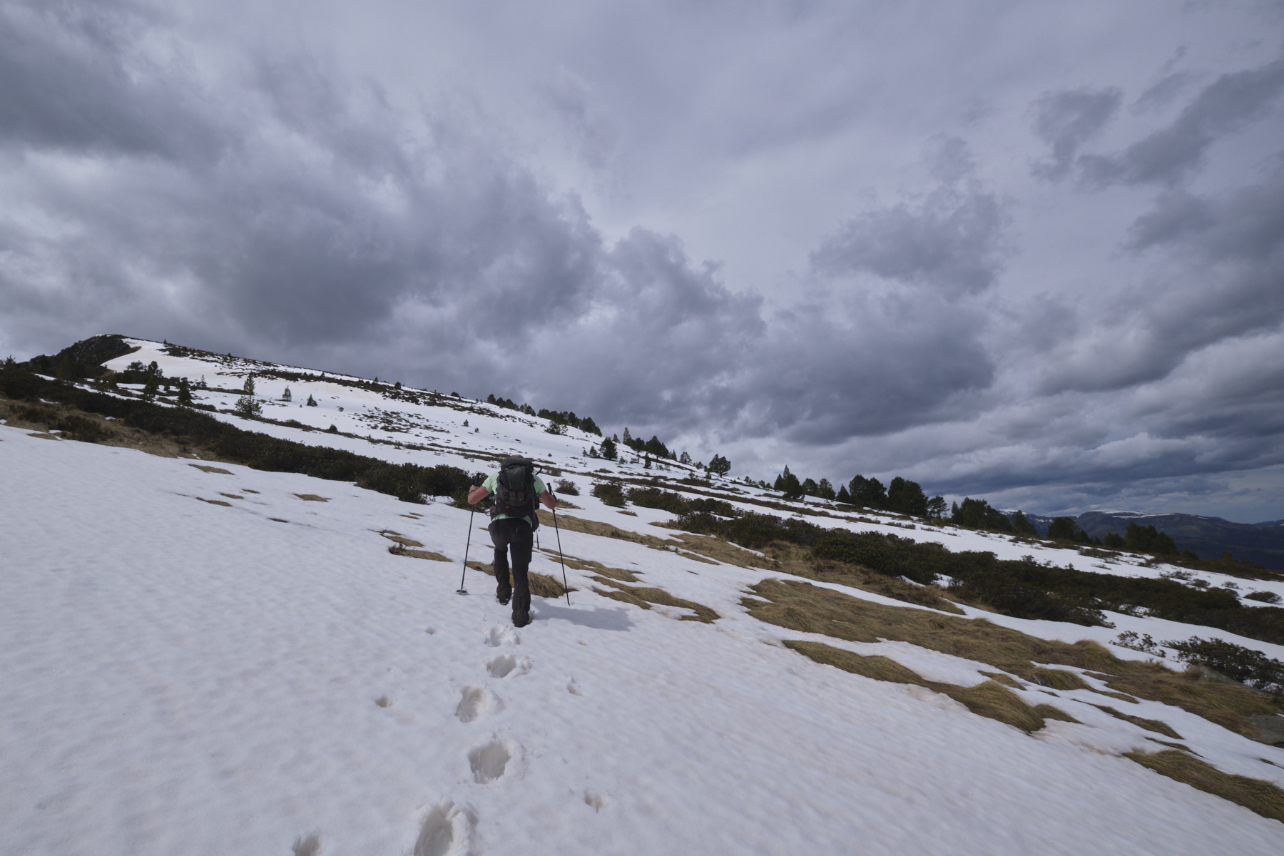
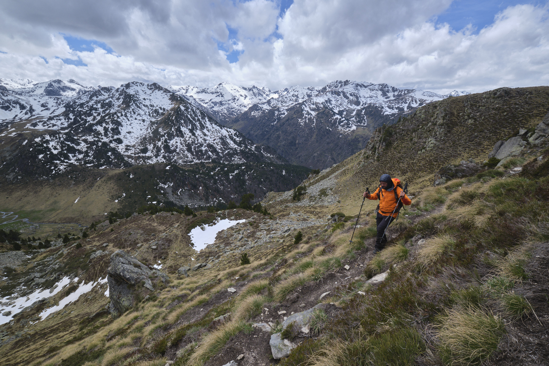
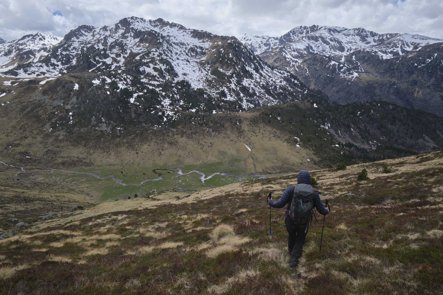
Part 2: Prat Moll, Col de Finestres and Crête des Genibres (2210m, 1h30)
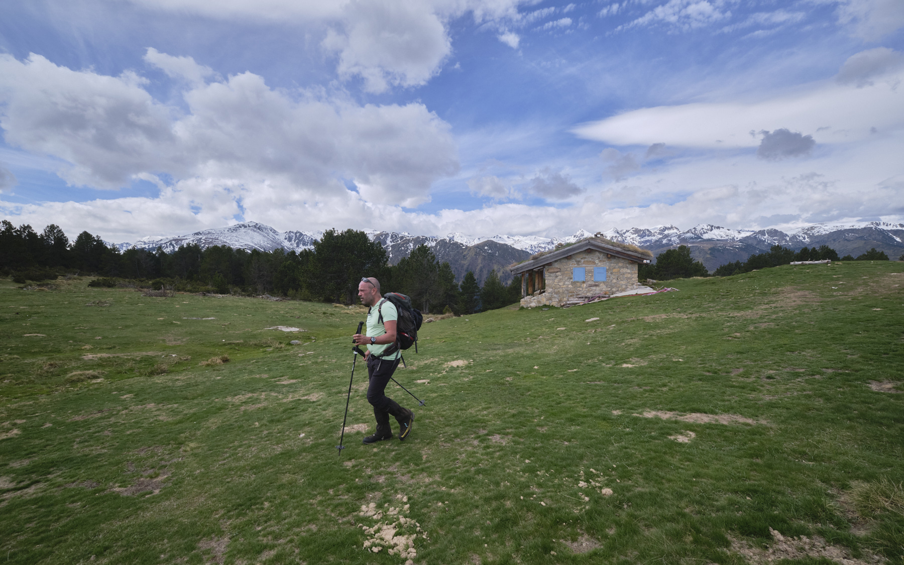
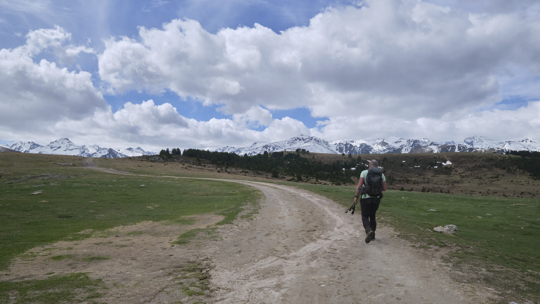
Continue on the GR trail, this time heading due south. Descend a little to climb up to a hump at the Orri de Beille (or stay on the track that runs around it to the east). Climb back up to Prat Moll and the rest of the way is undulating, still on the GR to the Col des Finestres (1964m). We're at the foot of the ridge.
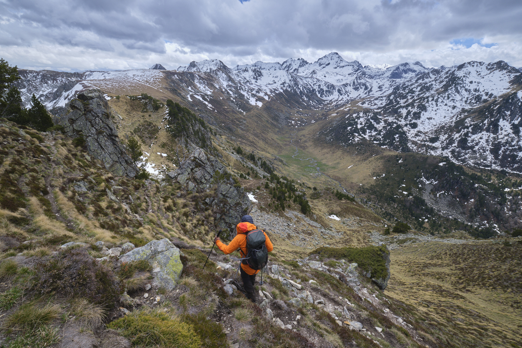
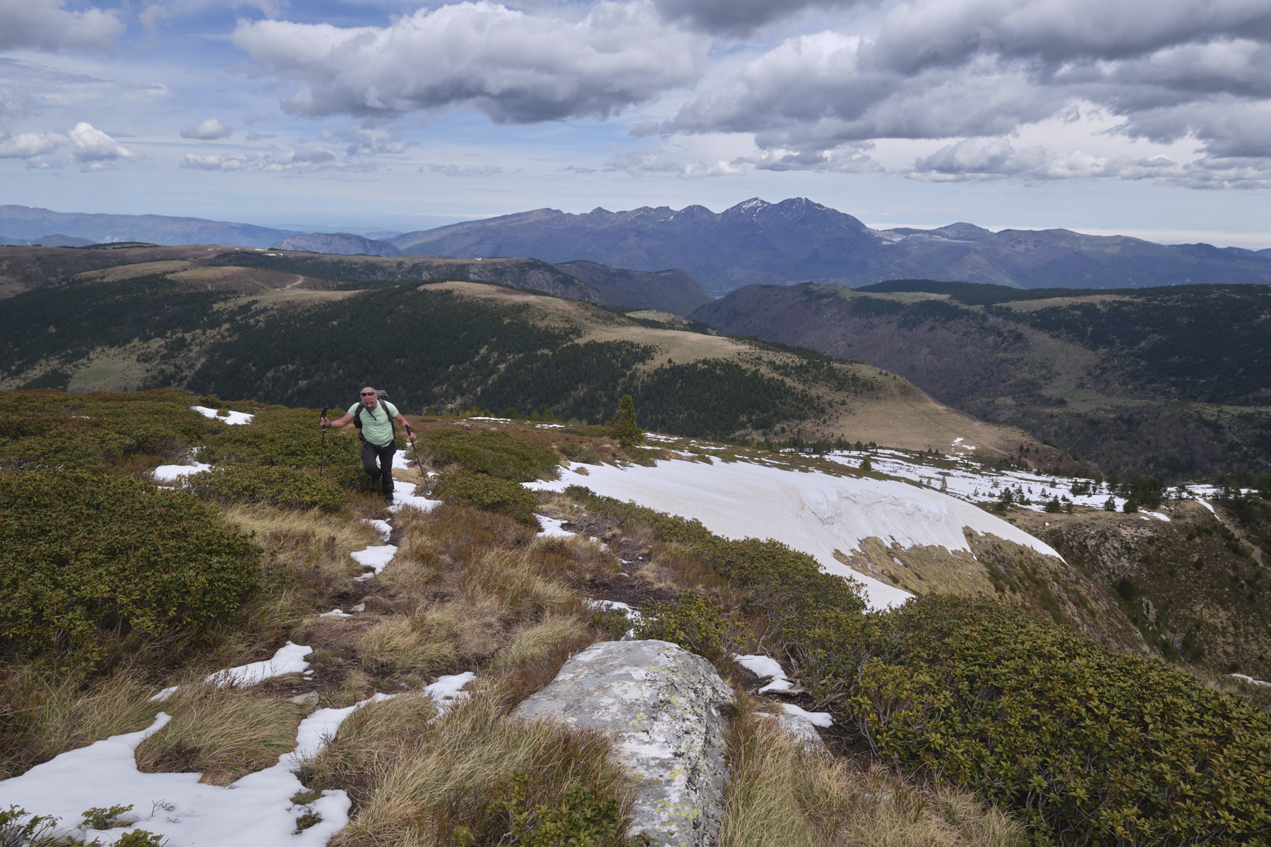
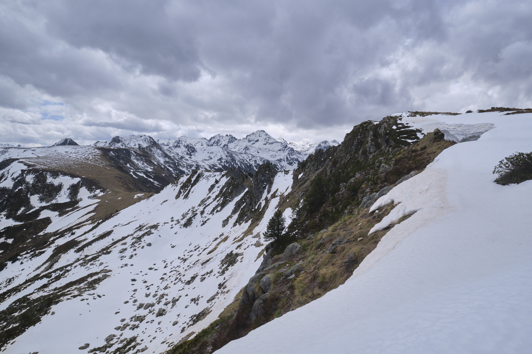
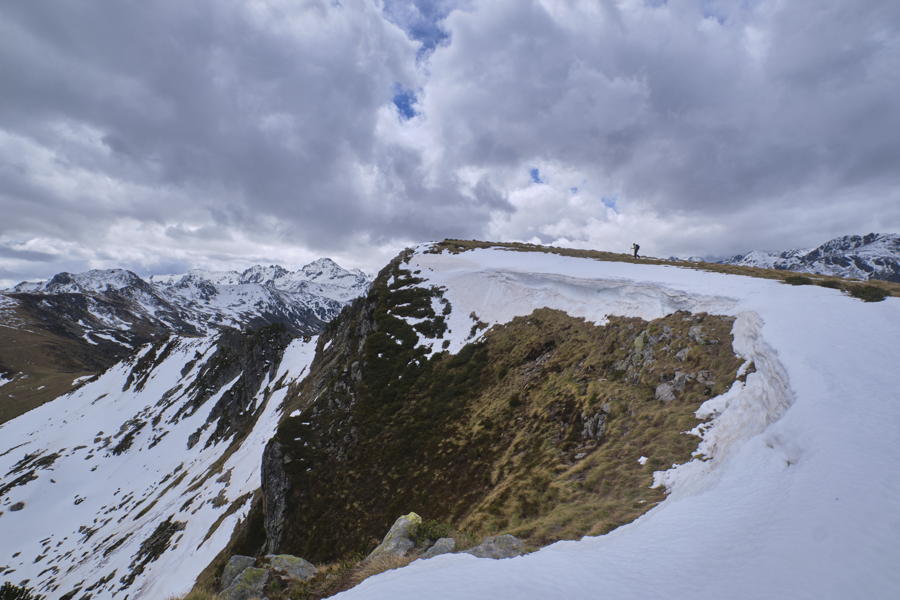
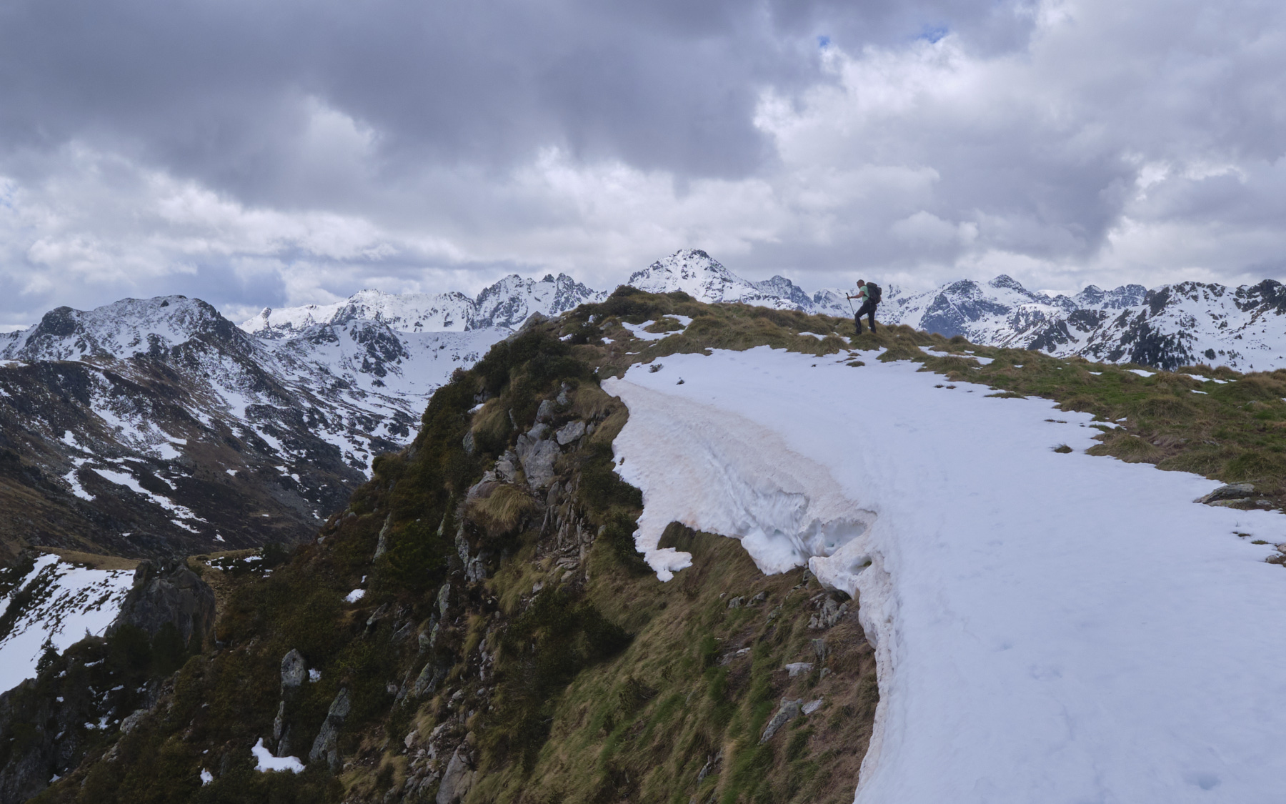
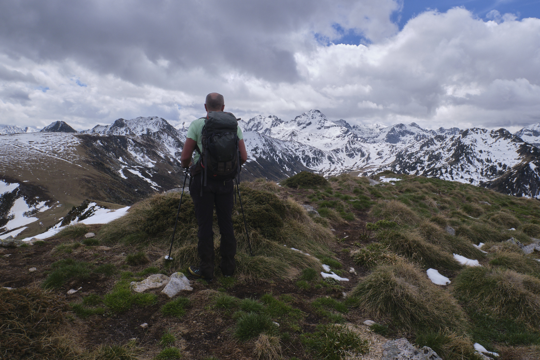
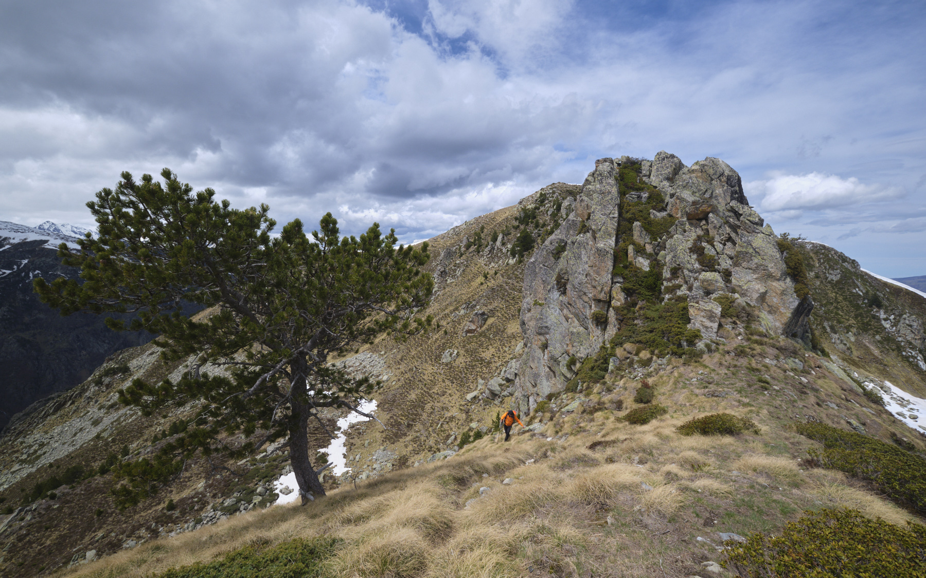
Climb up the fairly steep slope, leaving the GR, which leads to the Col de la Didorte without reaching the summit. The last part of the ridge is flatter and leads to the final summit, which rises above the Rieutord valley. Magnificent views of Aston and Rulhes.
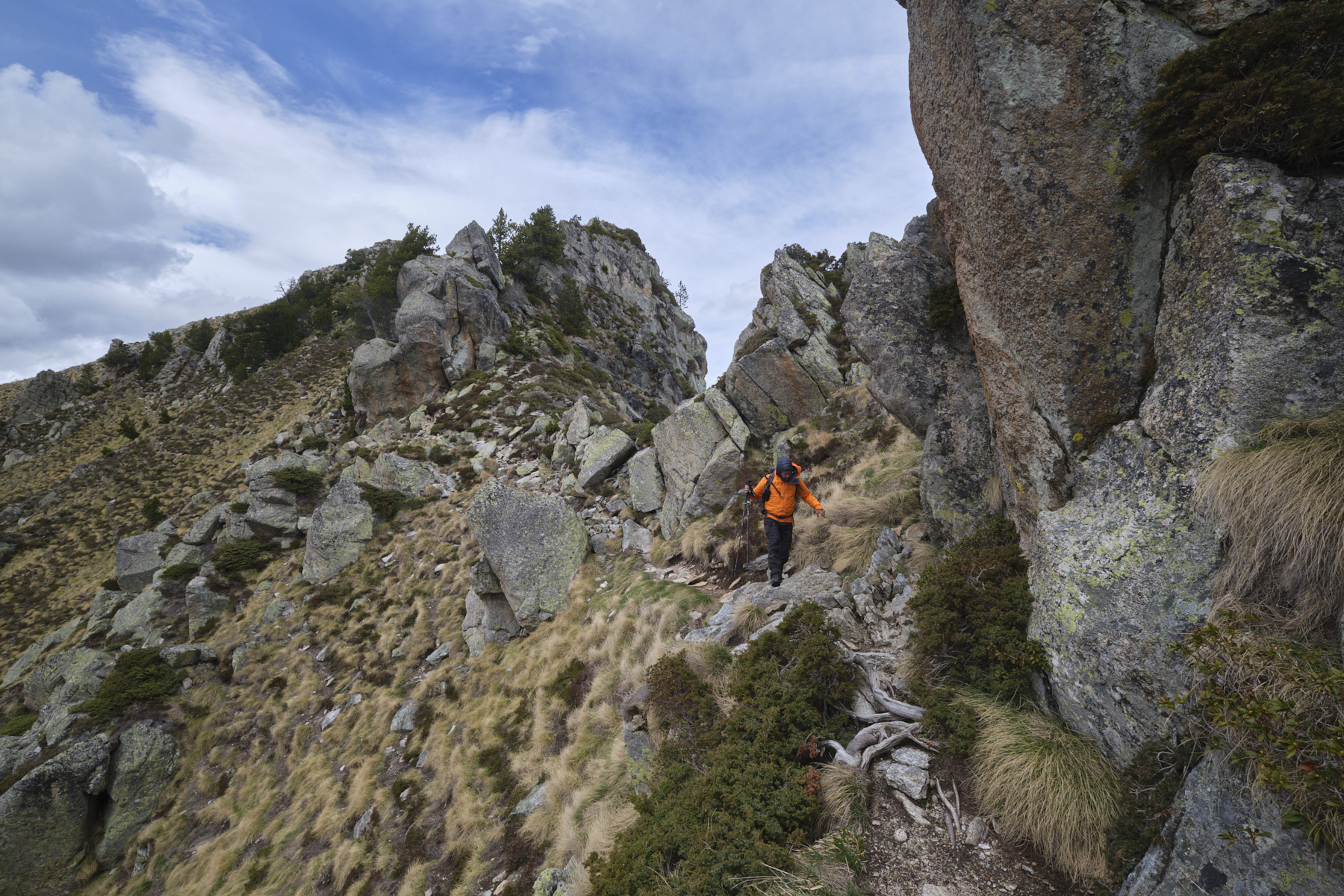
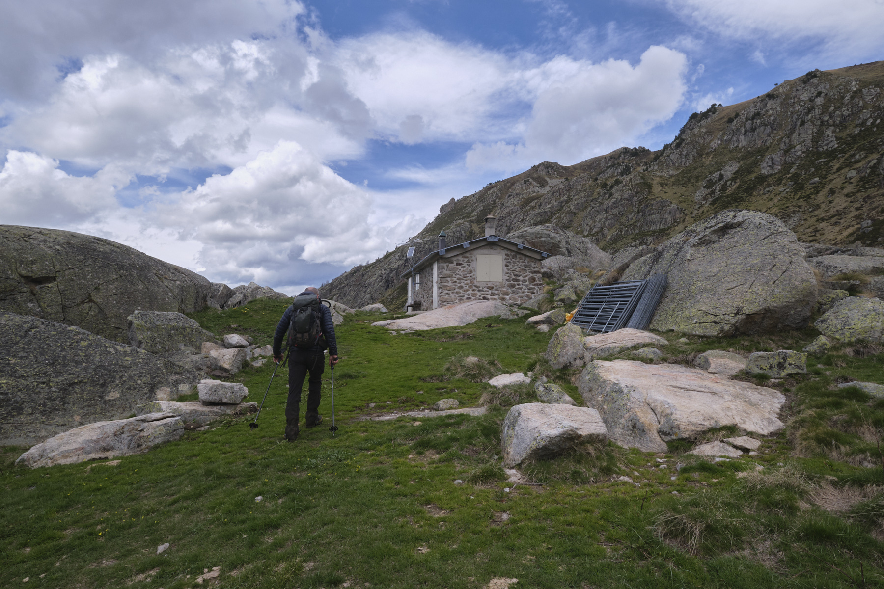
3rd part: Col de la Didorte, Cabane de Rieutord and Etang de Laparan (1h45 to 2h15)
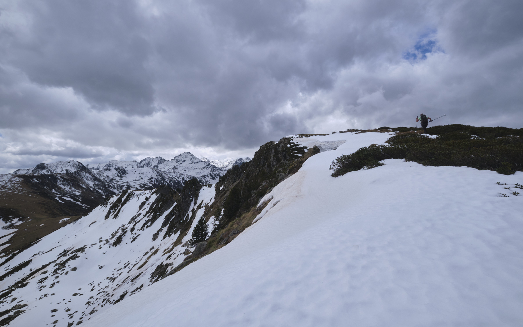
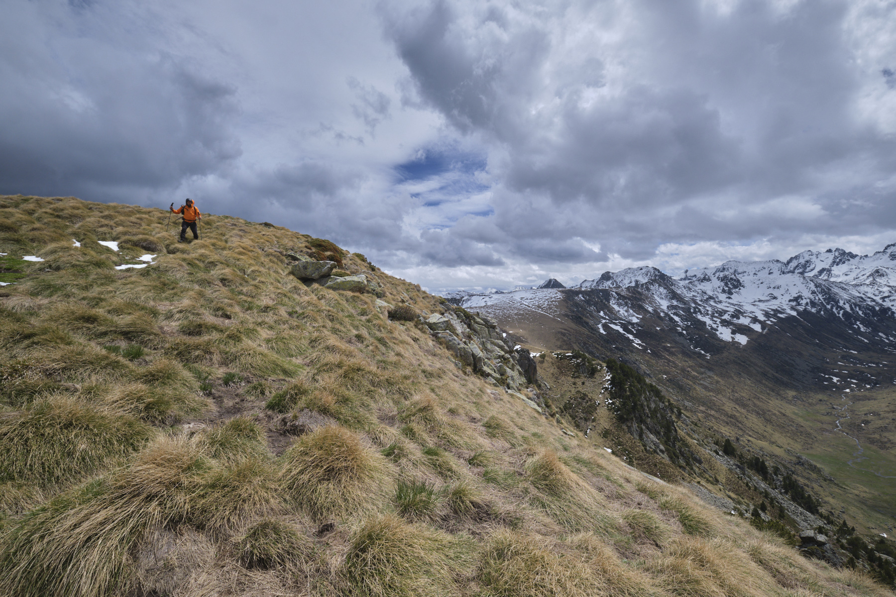
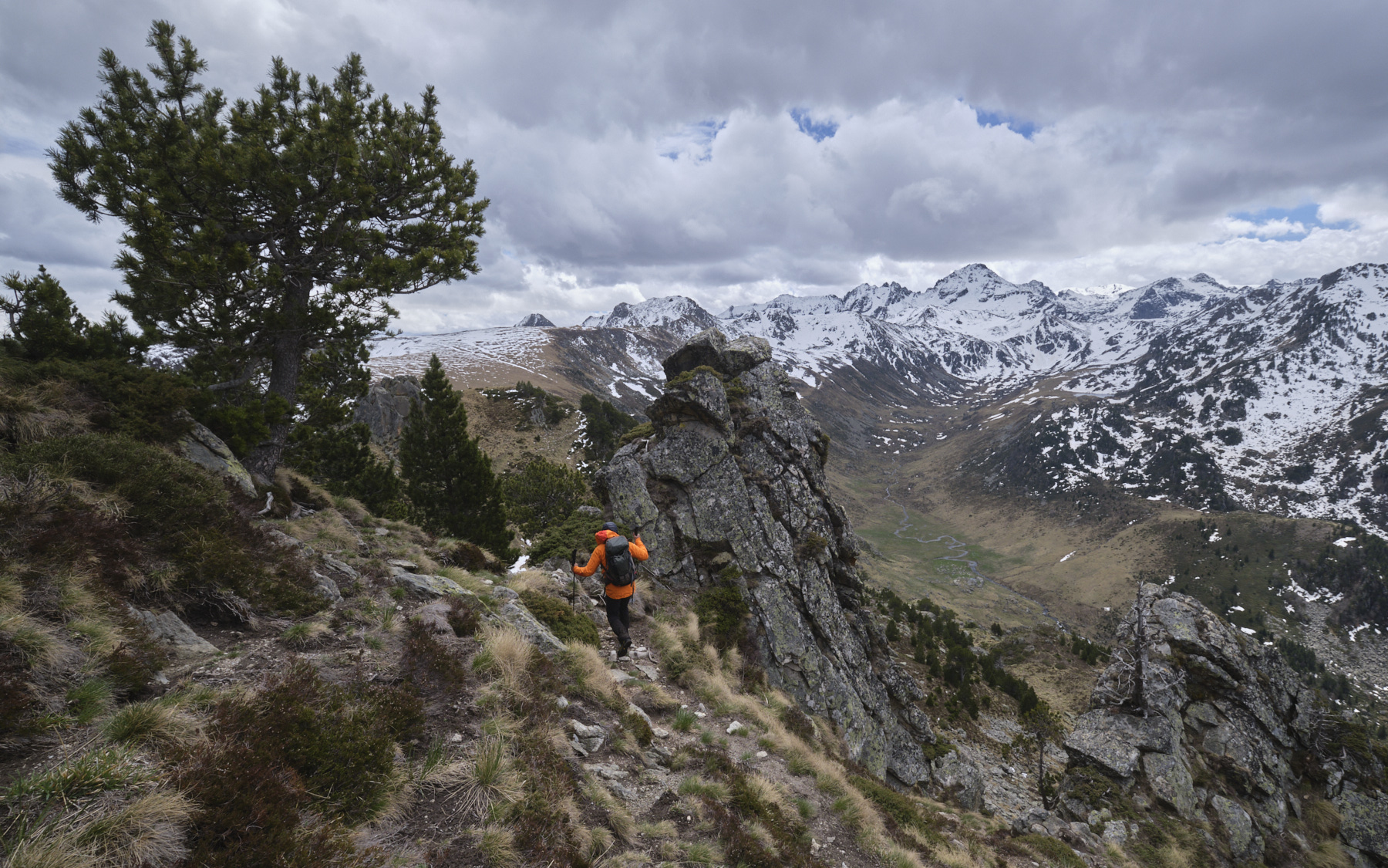
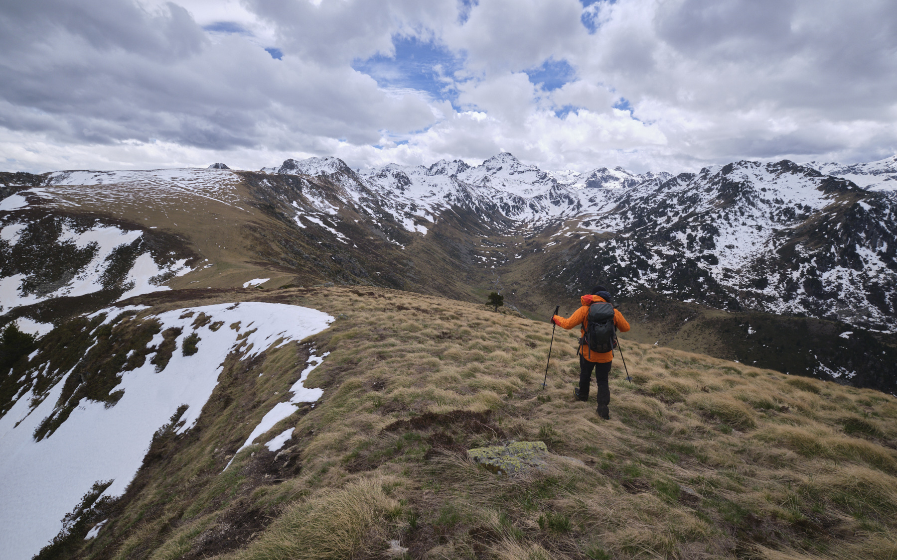
From the summit, descend the ridge a little to the south-west to find a well-marked path that heads back east horizontally to cut under the teeth and small cliffs of the north-facing slope of the Crête des Genibres. This steep, airy passage looks impressive from a distance, but in fact it's easy to traverse if you keep your wits about you. After passing under the last rocky tooth, climb straight up the slope on the path that leads out onto the ridge. Follow the grassy, rounded ridge without difficulty to the Col de la Didorte at 2104m.
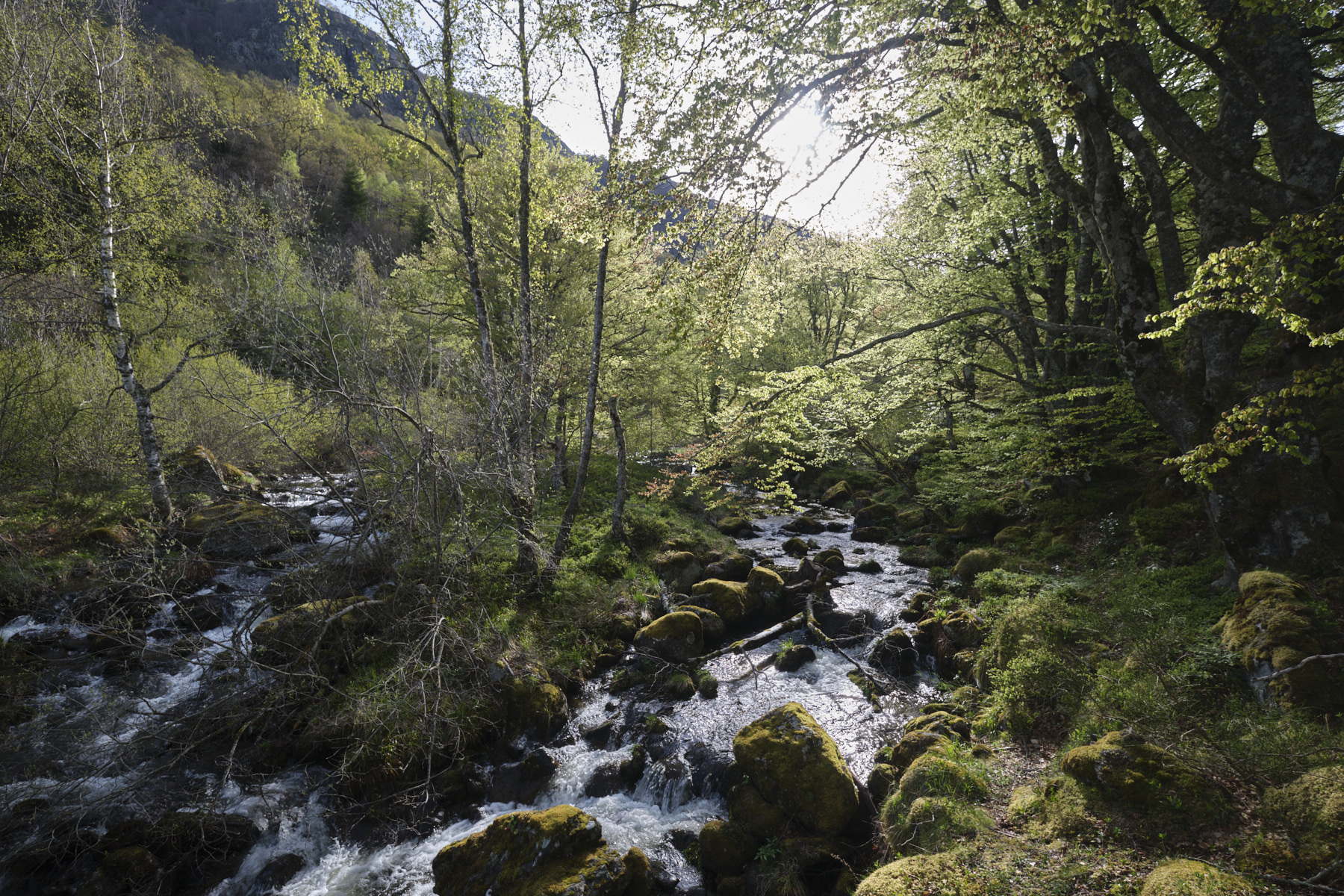
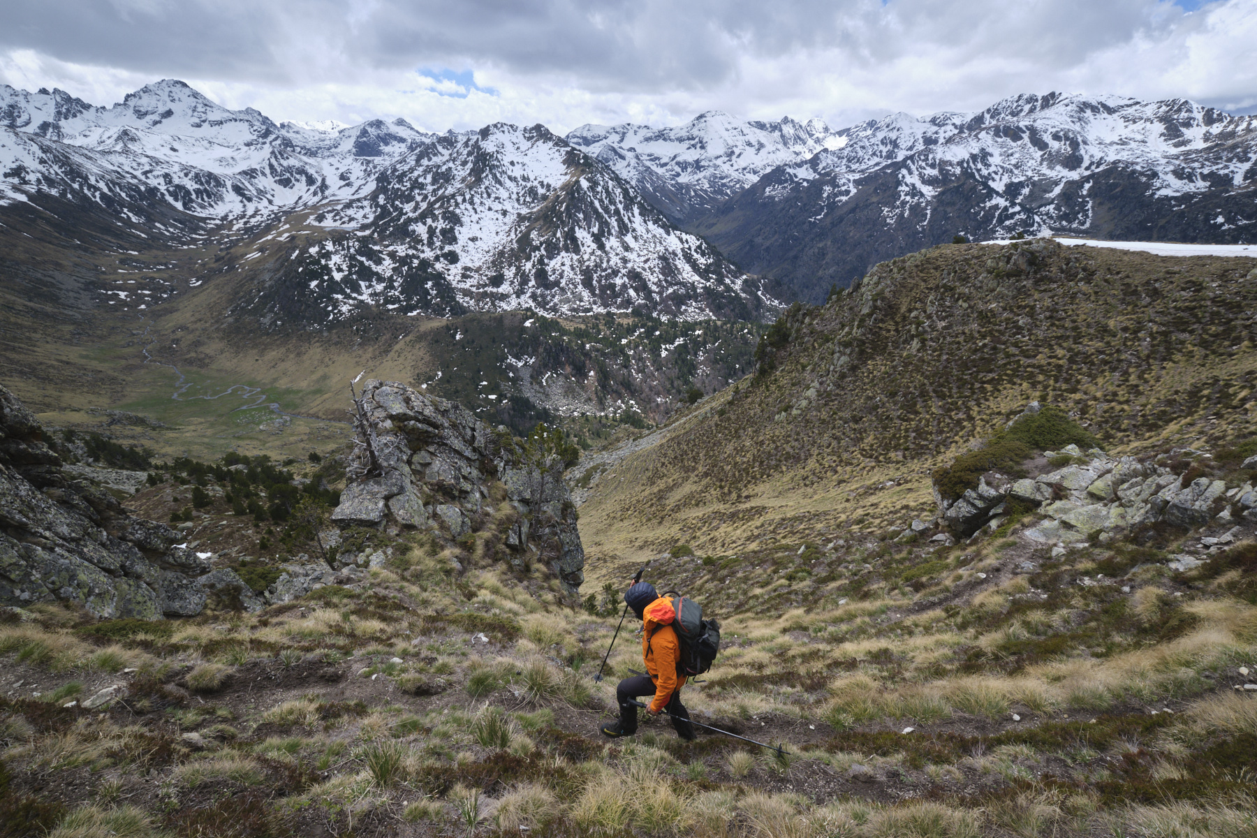
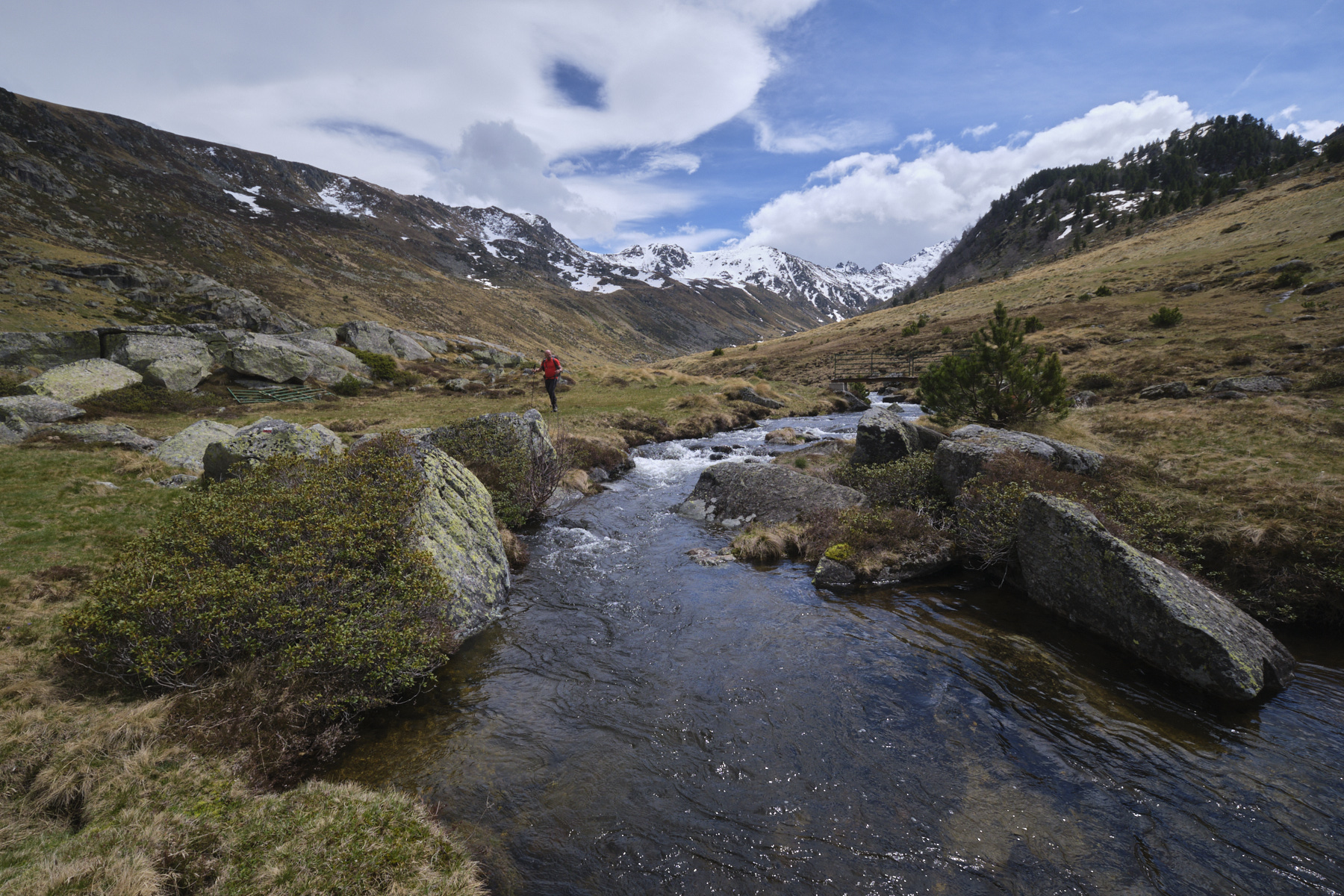
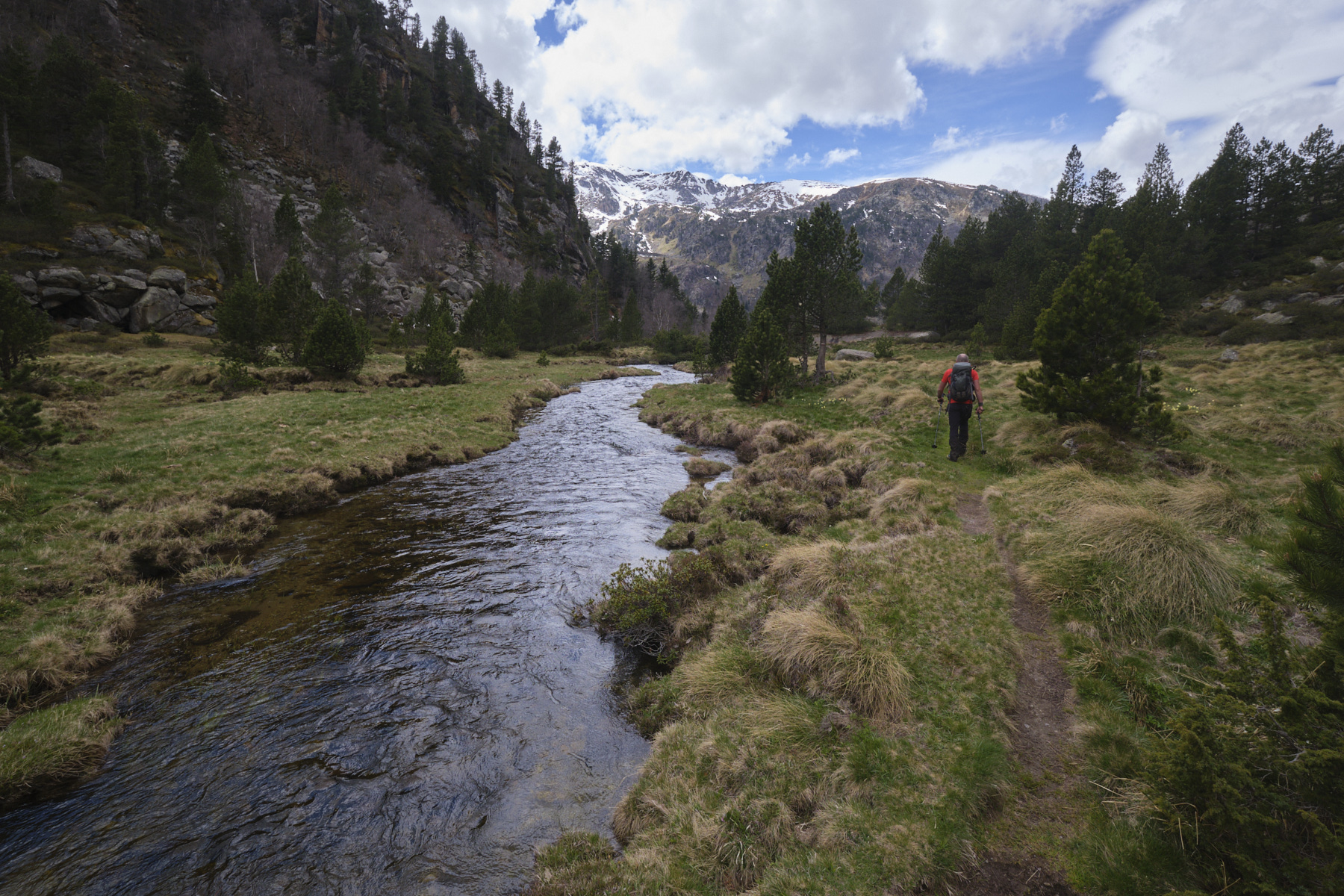
From here, plunge down the grassy slope to the south-west on a path that is not very visible at first, but which descends to the bottom of the Rieutord valley to reach the boulder-protected hut along the stream. From here, join the GR T66, which follows the stream on the right bank over several successive levels before finishing on a steep descent to the road that runs alongside the Laparan pond.
All that remains is to return to Jasse des Galis: 5kms on foot along the road (no other option) or stop the vehicles coming from Pla des Peyres.


 Partager sur WhatsApp
 Partager sur Twitter
Partager sur Instagram
Partager sur Twitter
Partager sur Instagram

 Partager sur Facebook
 Imprimer le topo
 Laisser un commentaire


Leave a Reply