×
Randonnées Escalade Alpinisme Via ferrata Canyoning Ski de rando Raquettes
×

Search Close search

TOPO

Pic de l’Aspre via the west ridge from the étangs de Petsiguer, Auzat

Publié le |

0 Comments

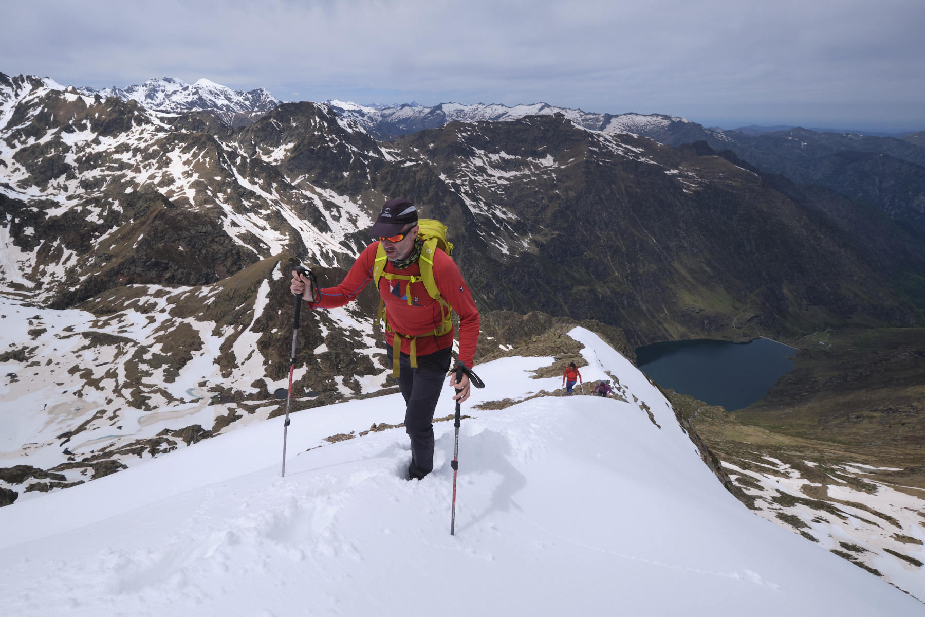
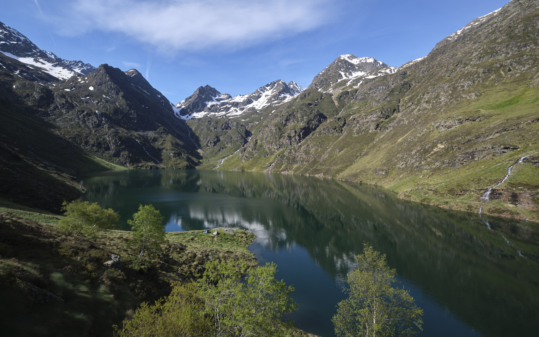
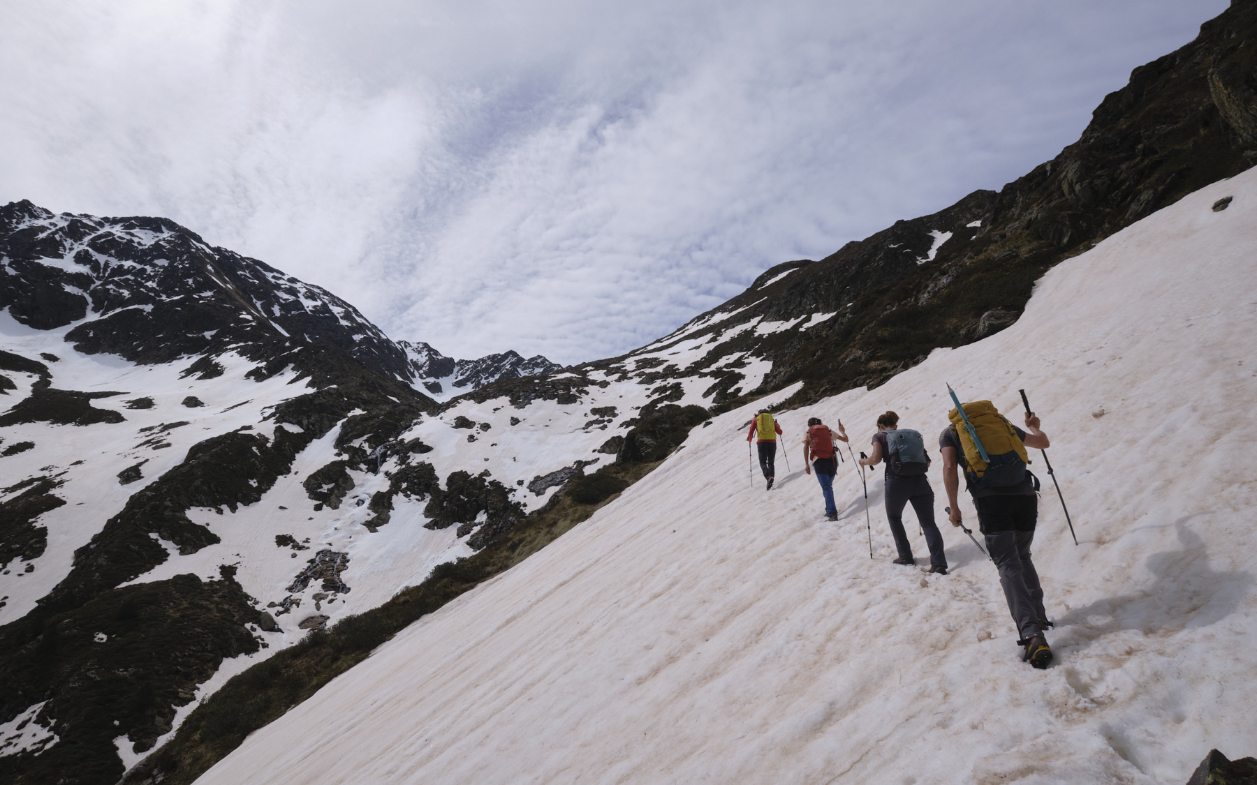
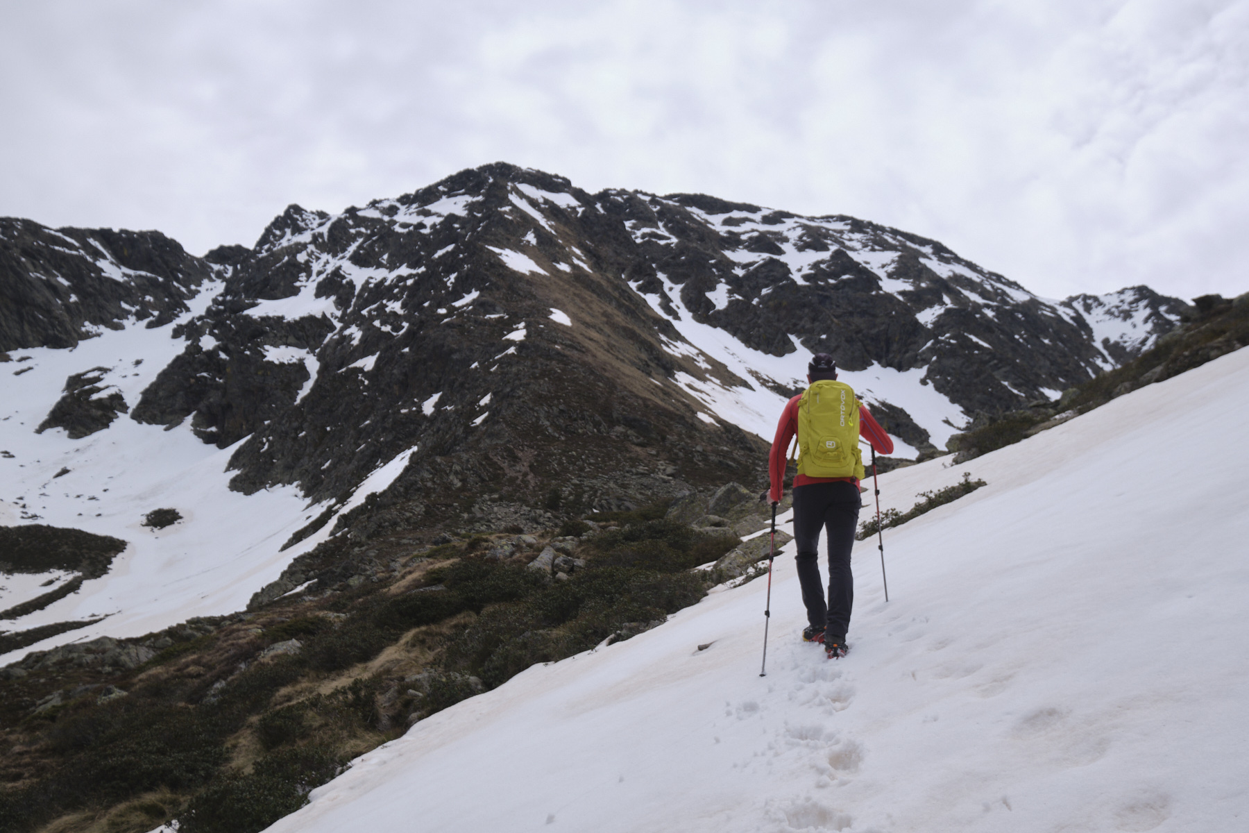
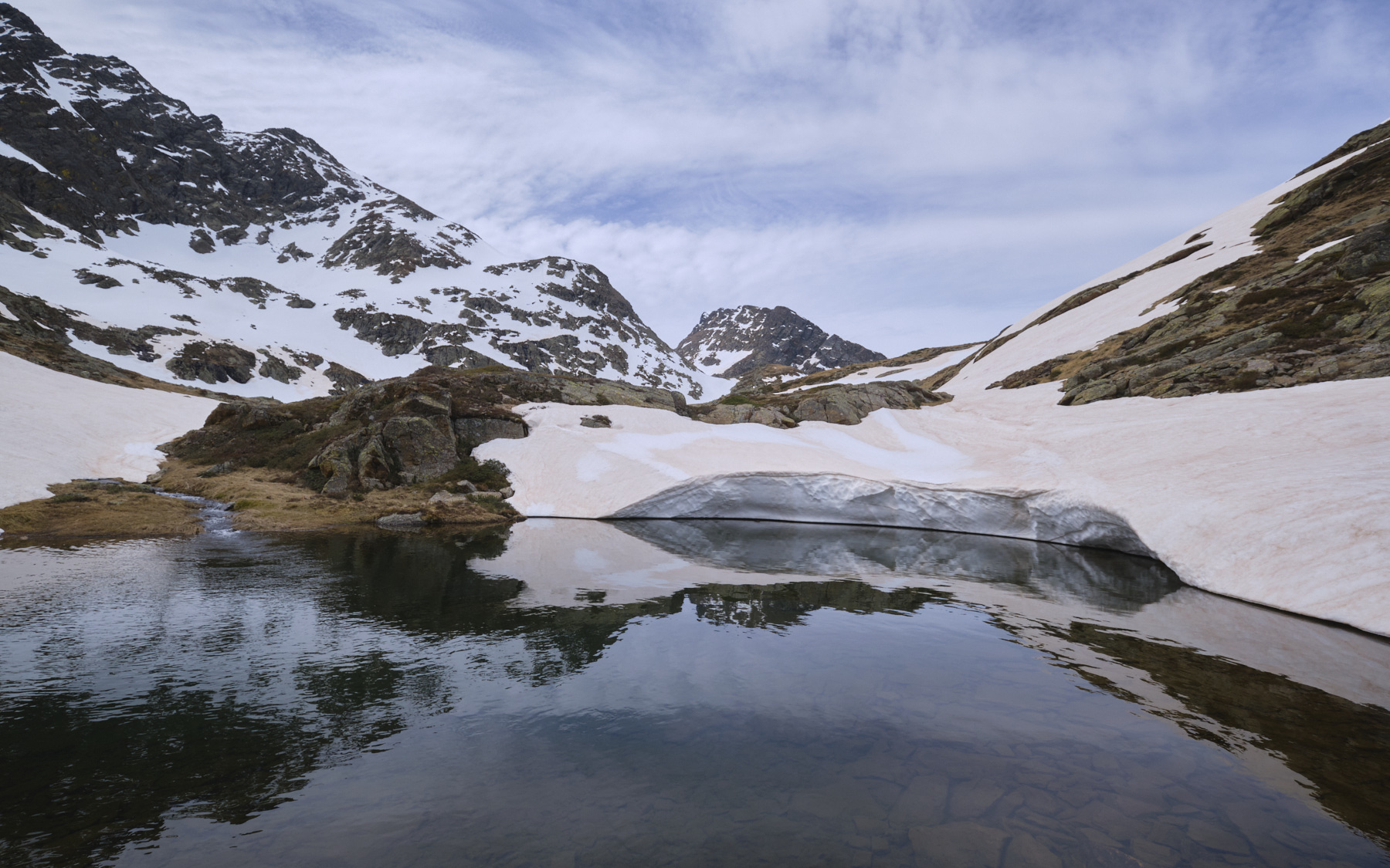
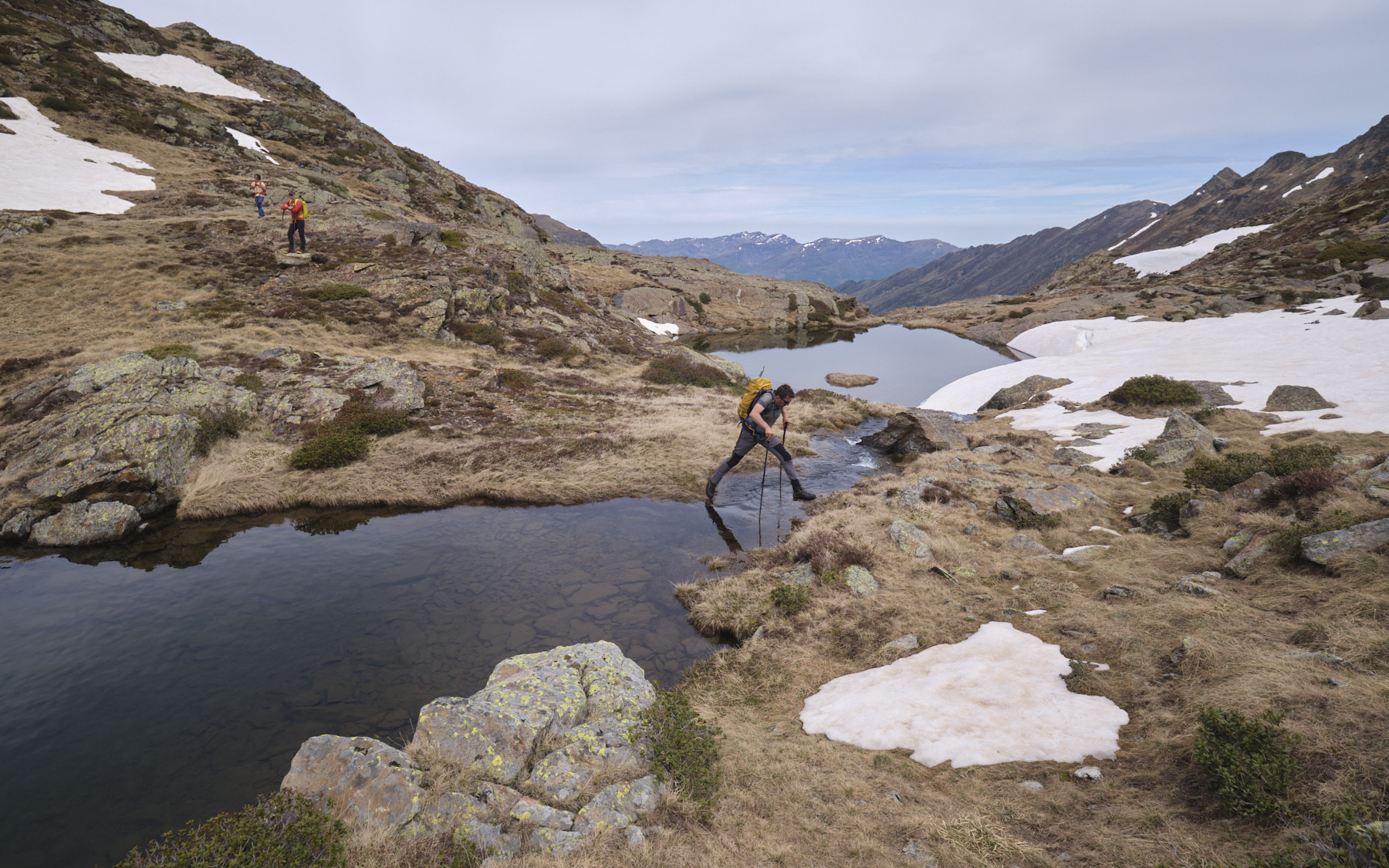
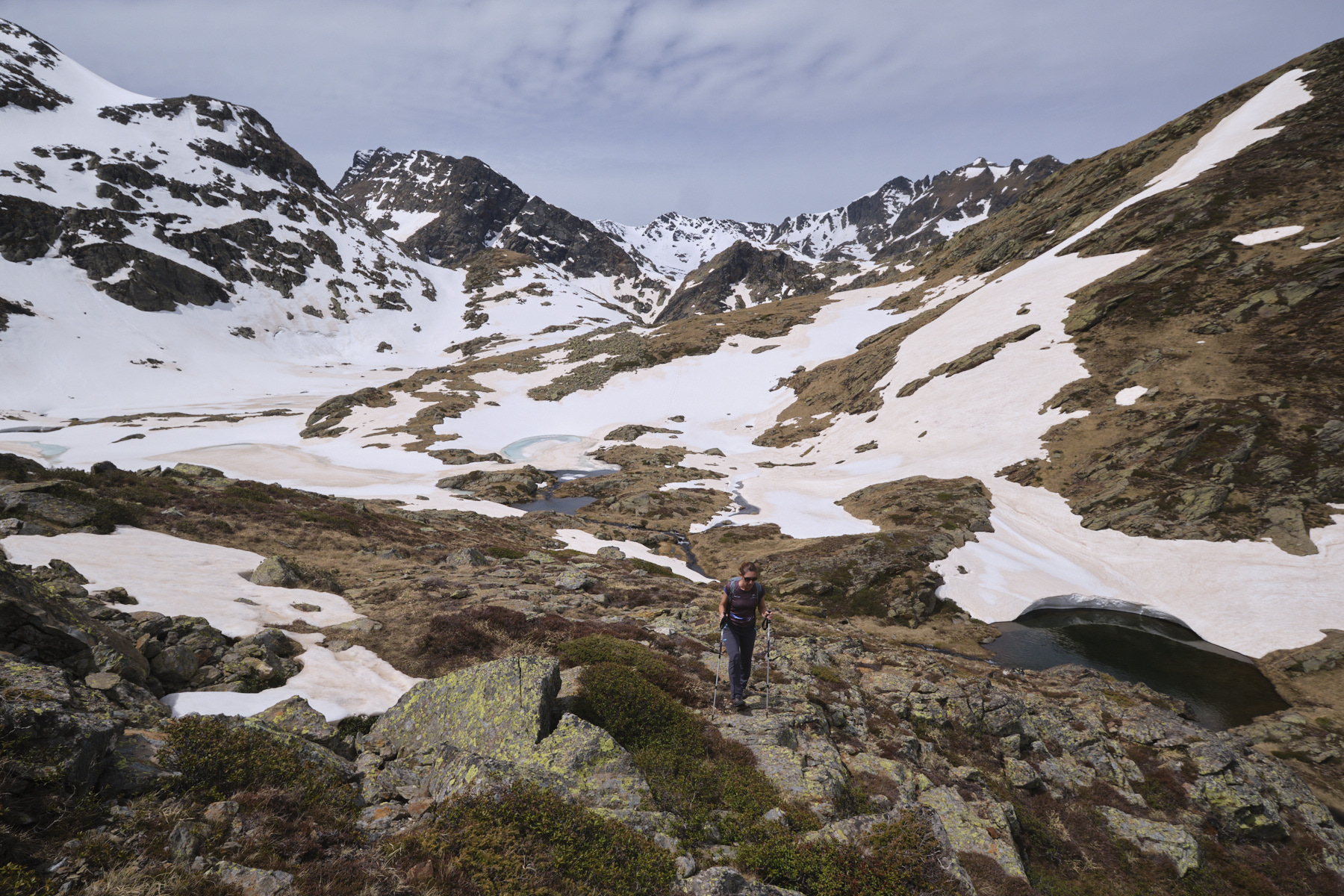
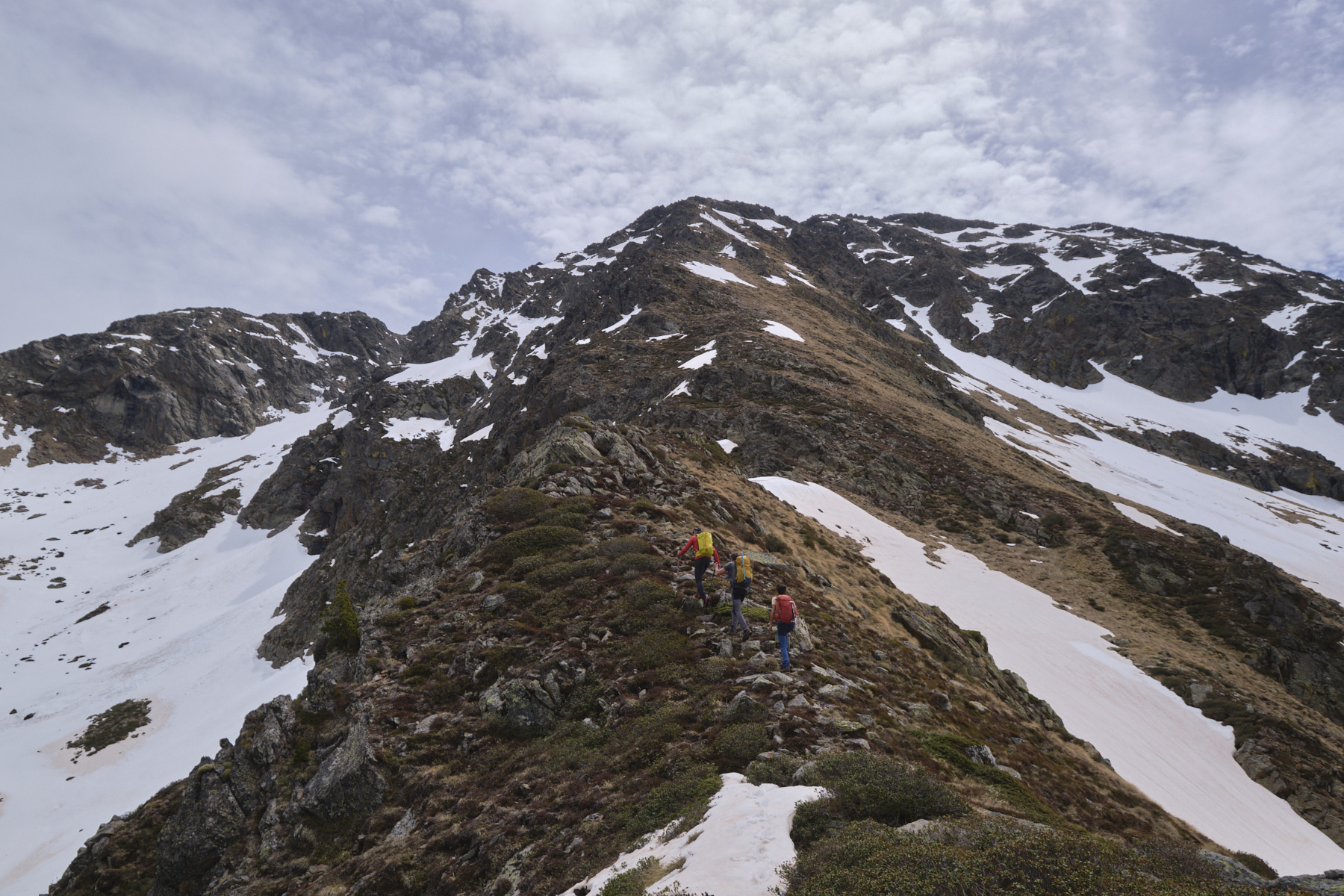
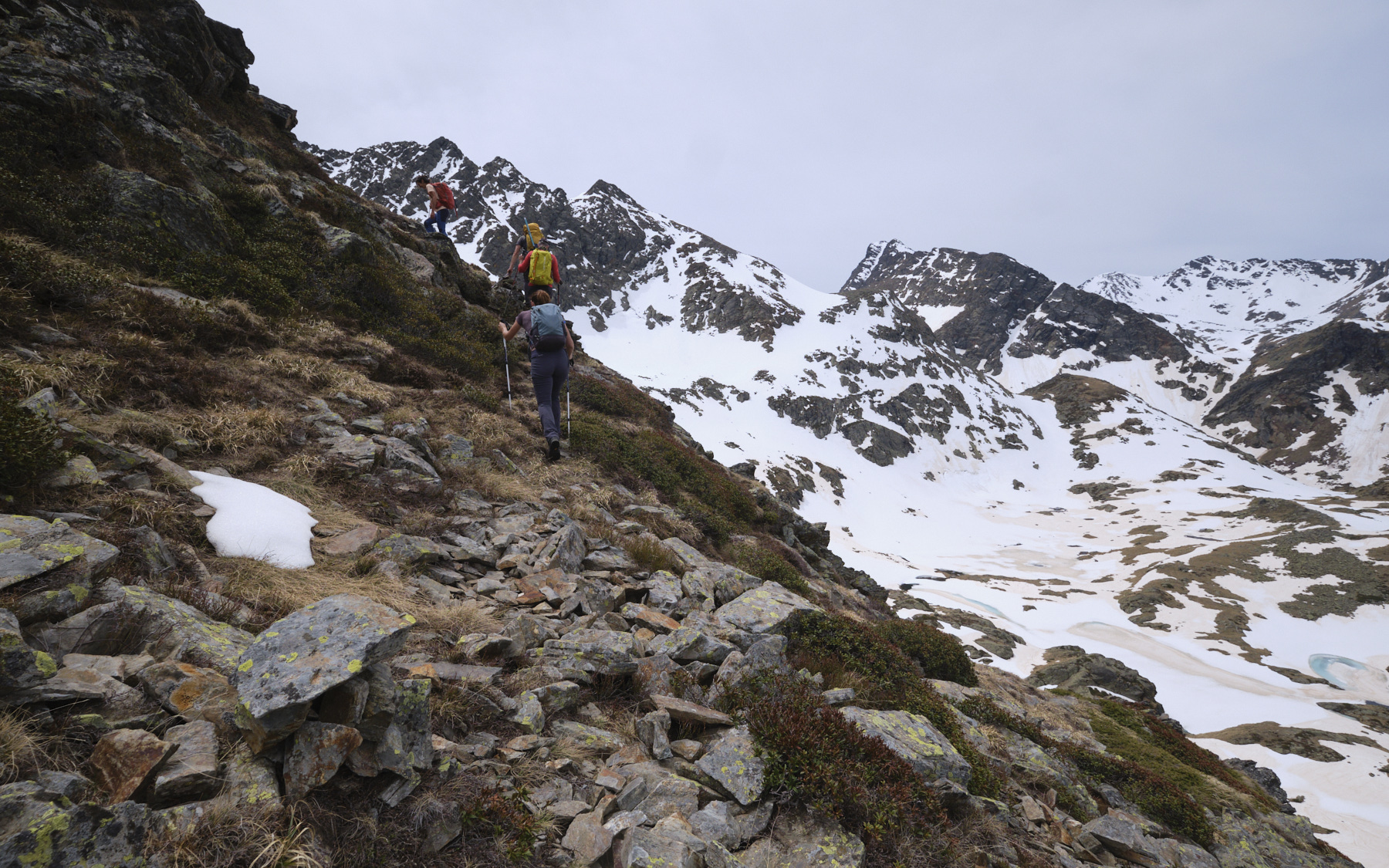
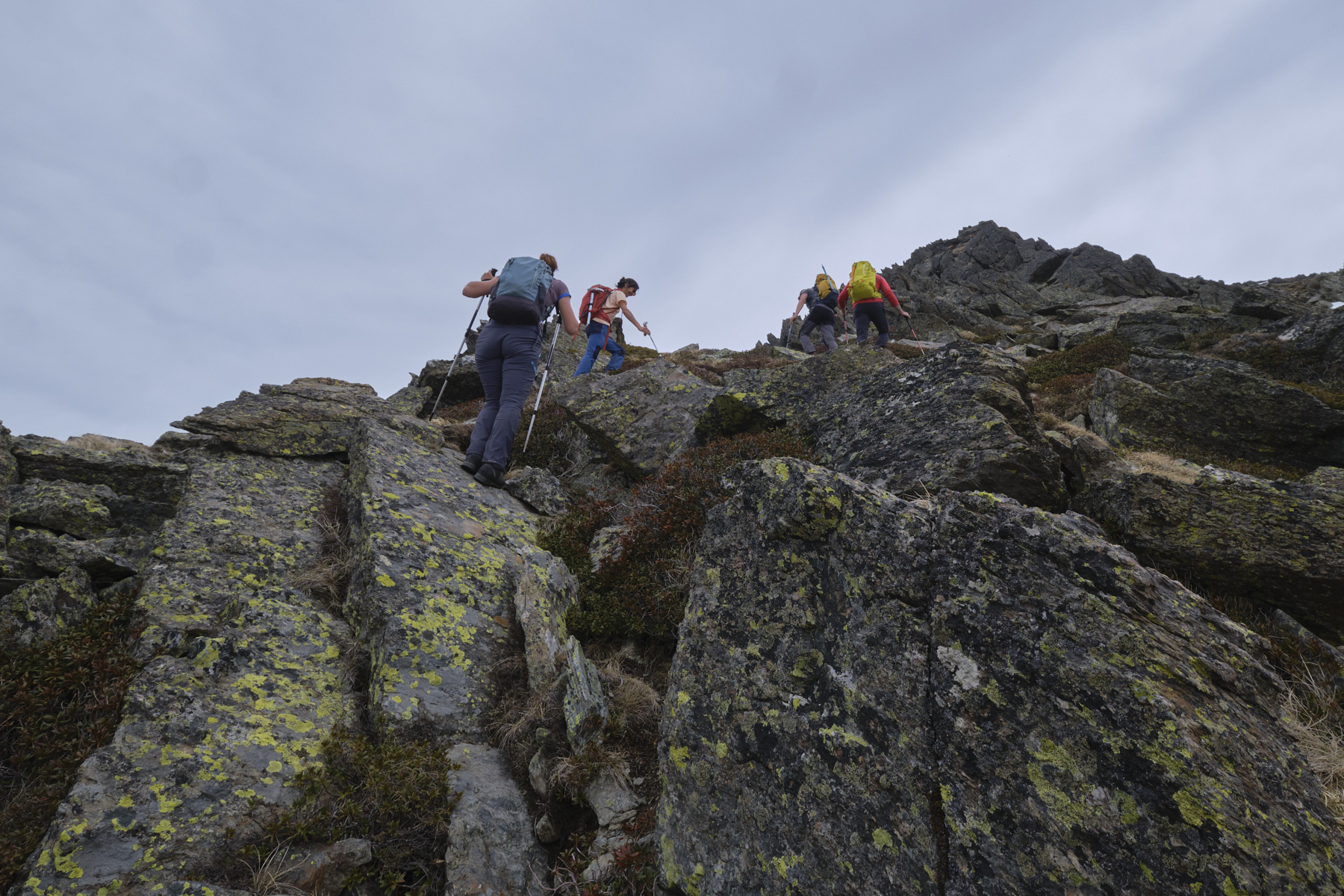
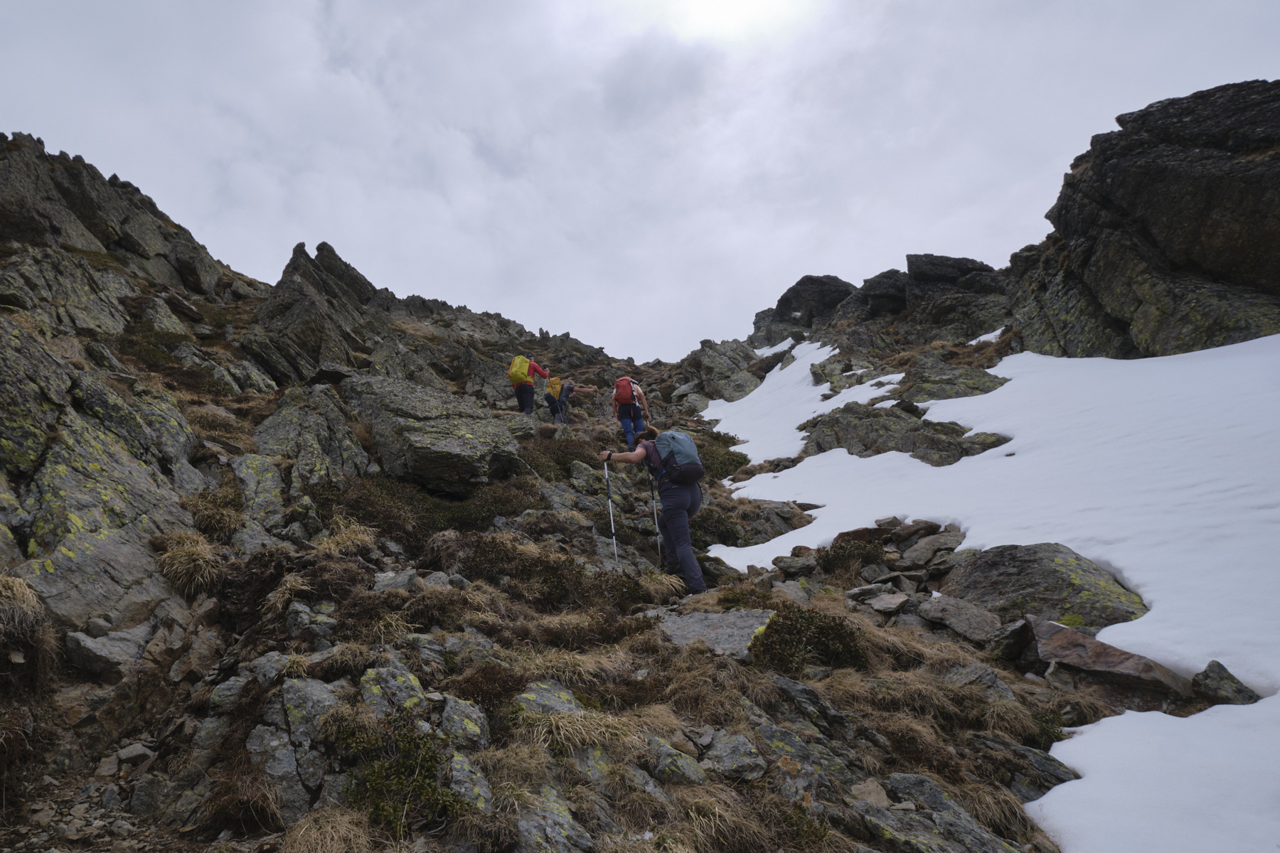
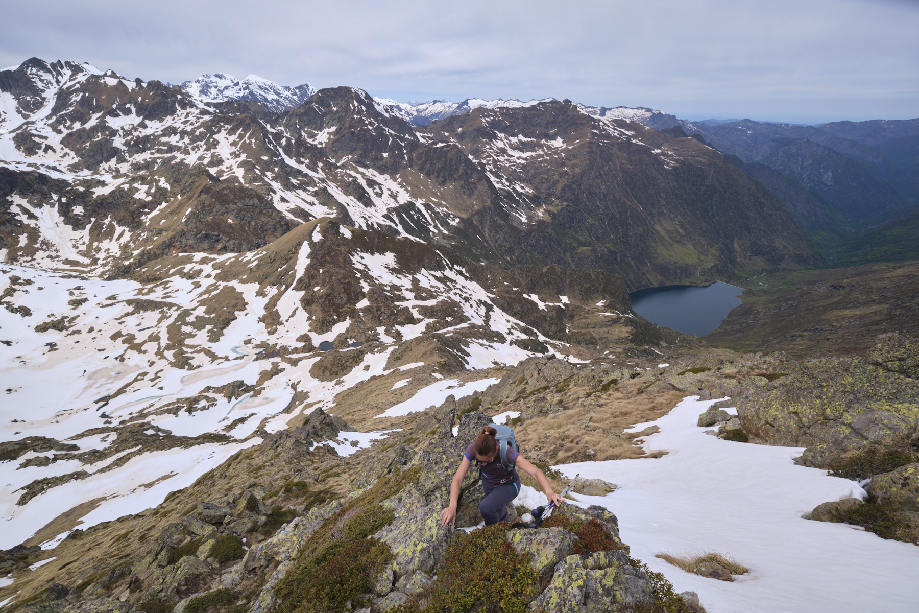
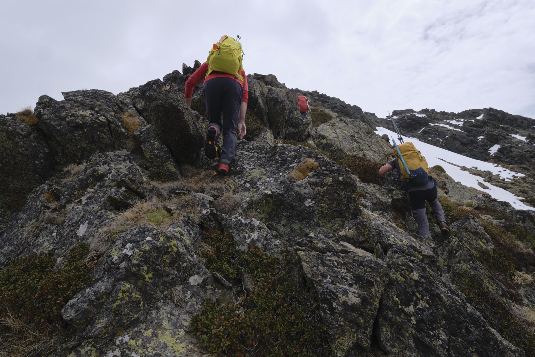
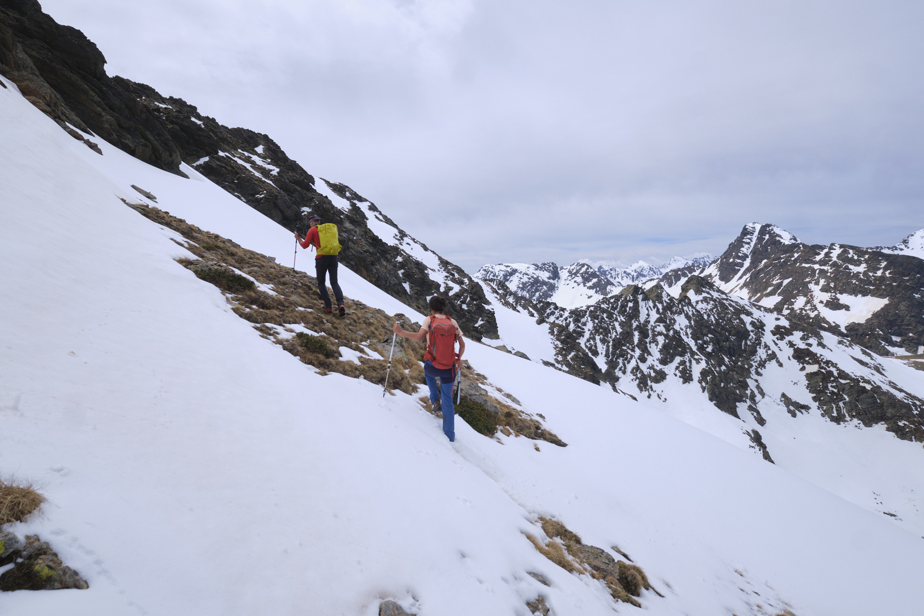
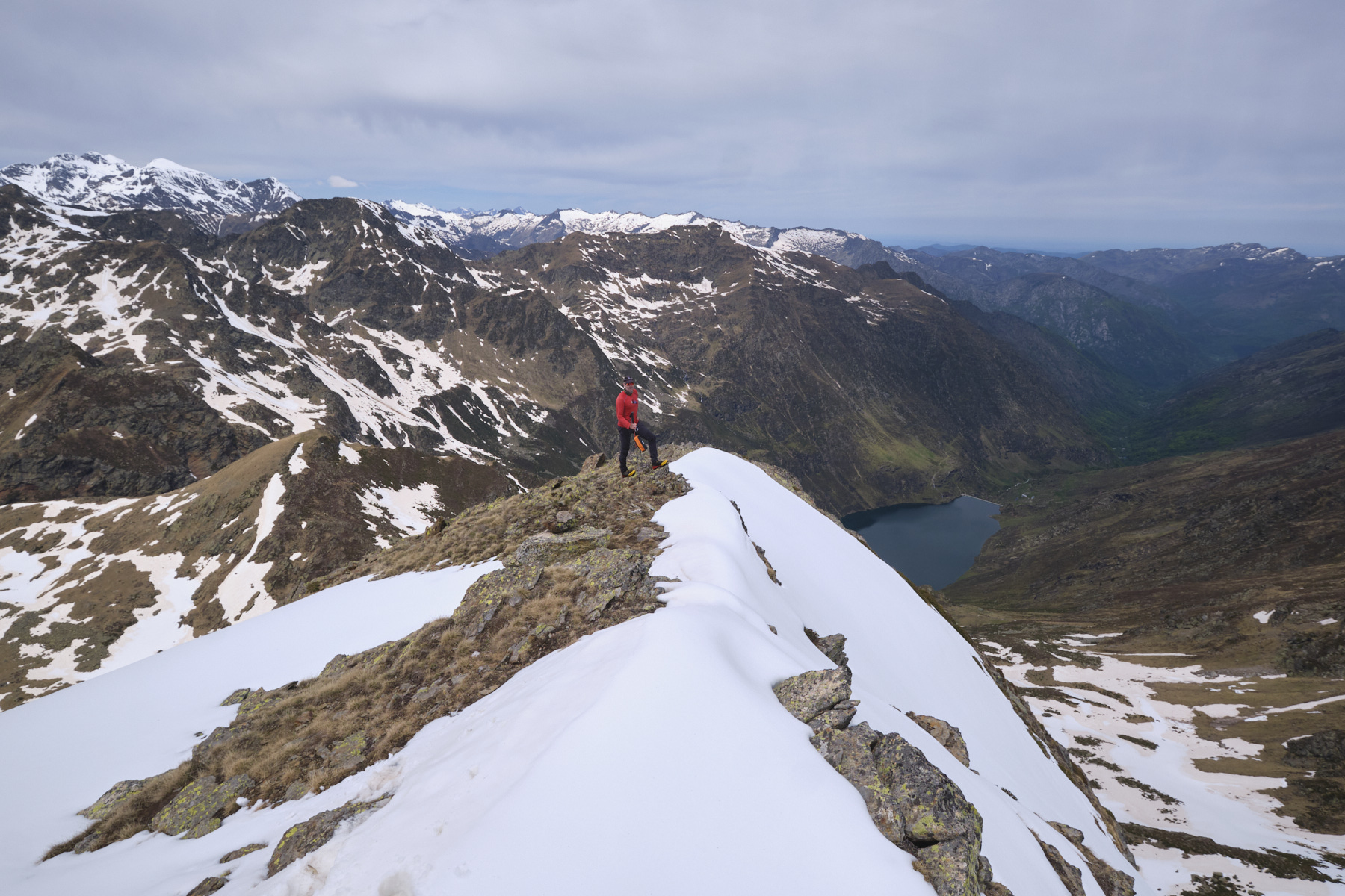
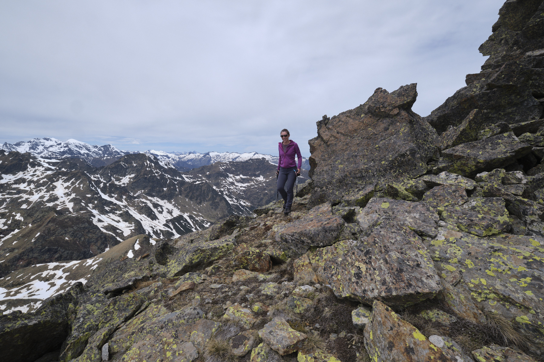
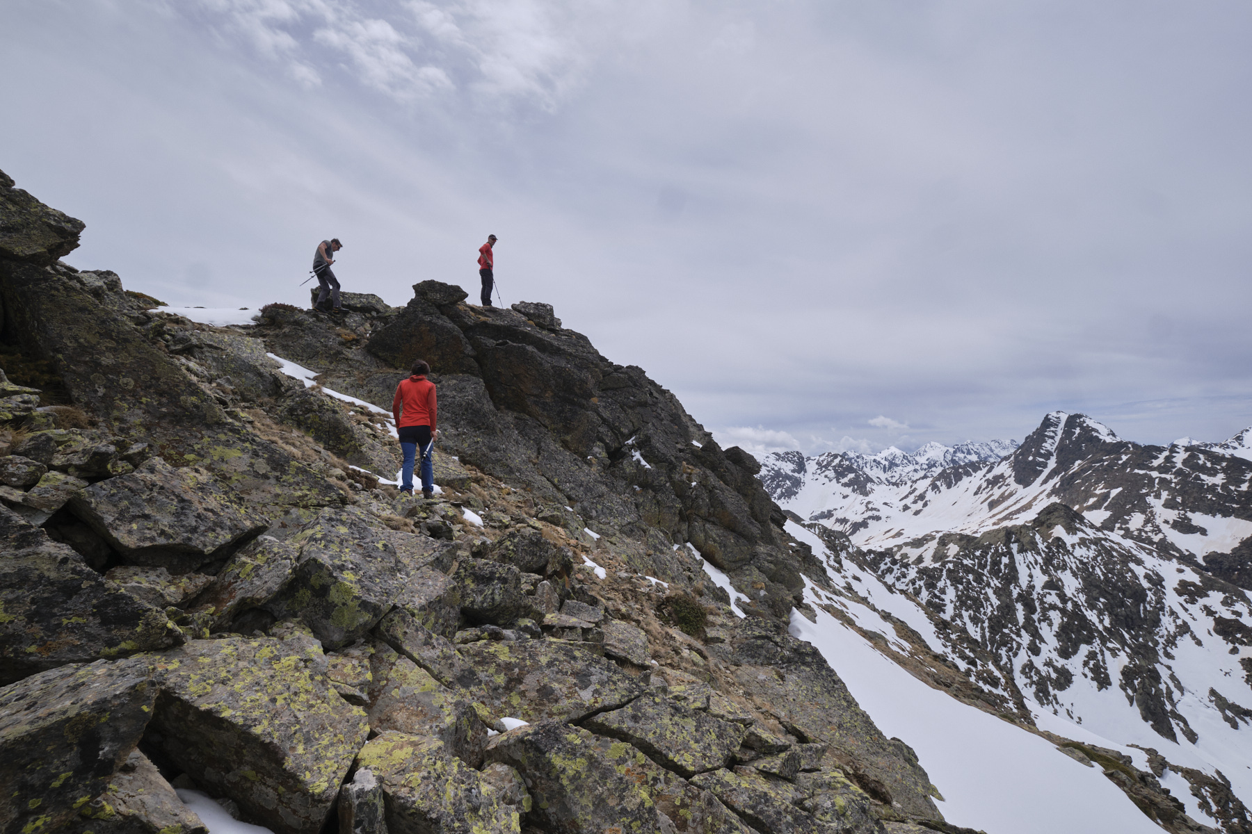
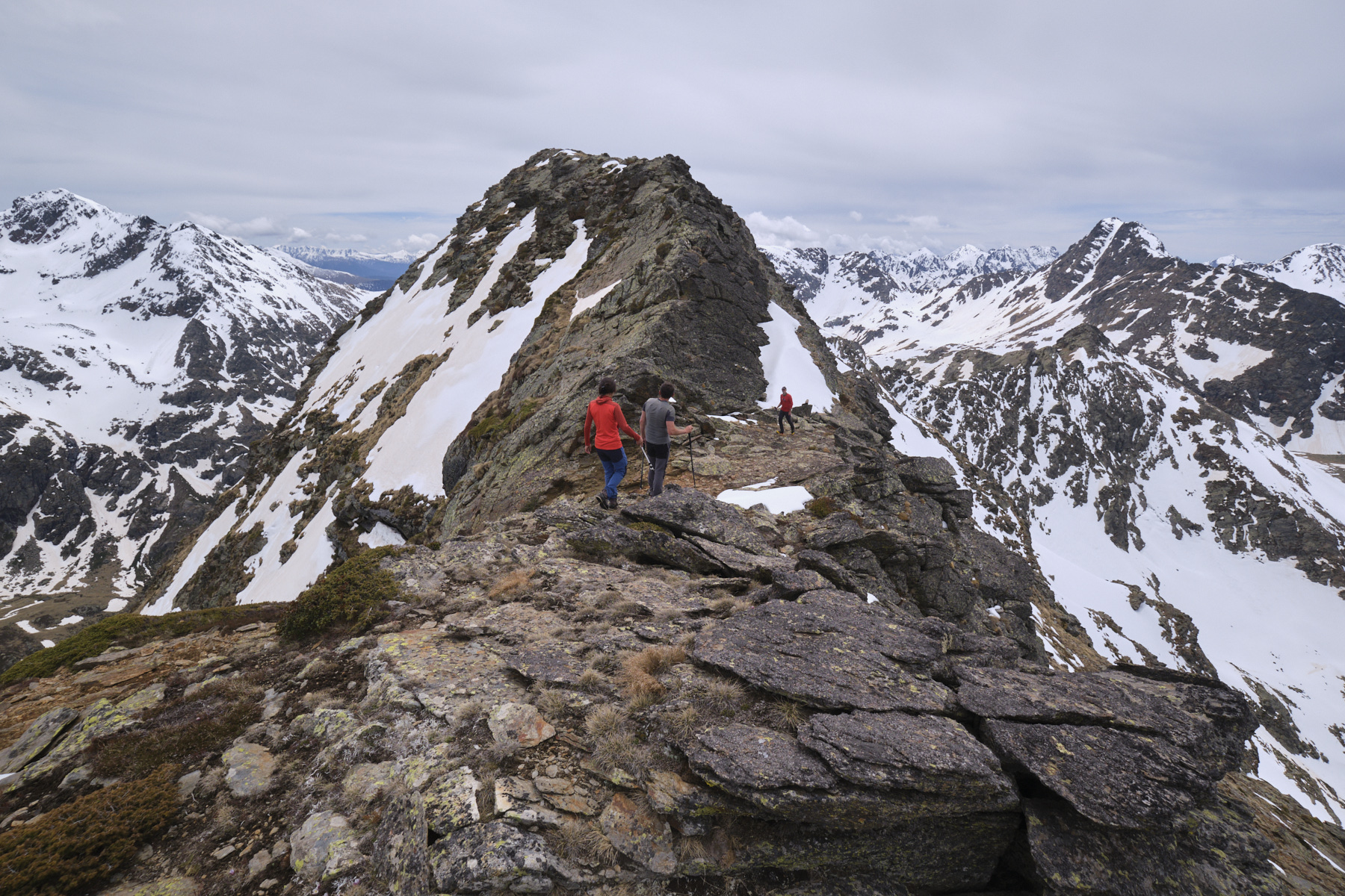
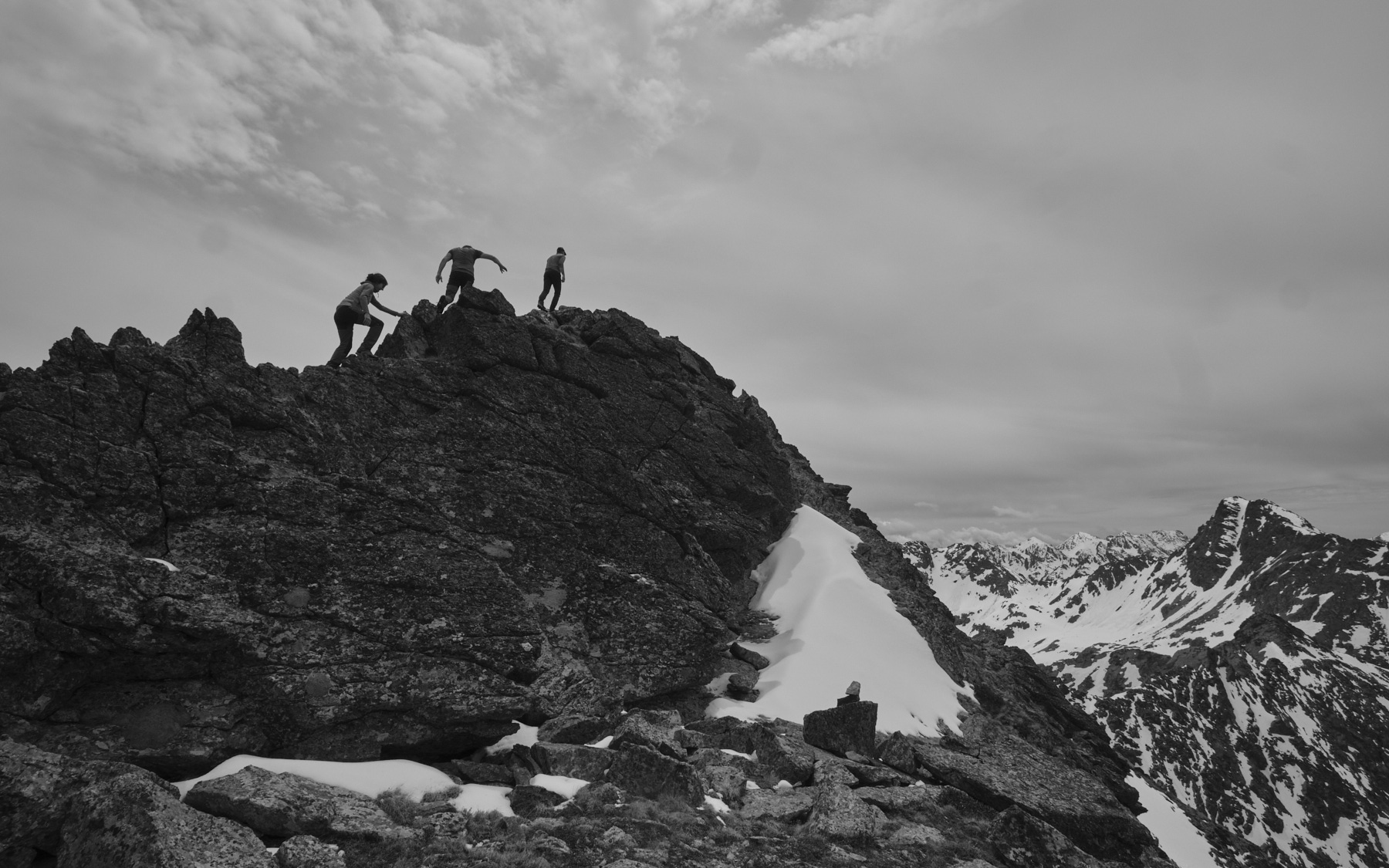
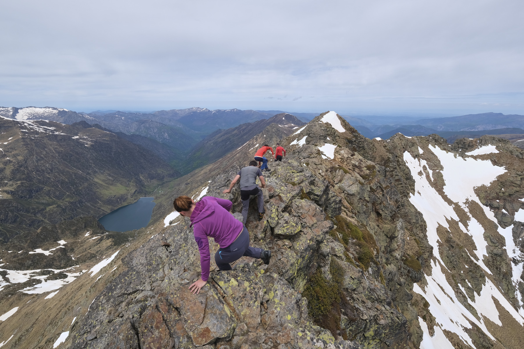
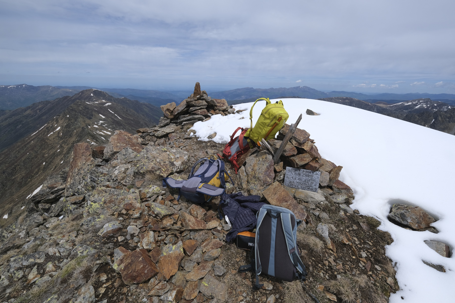
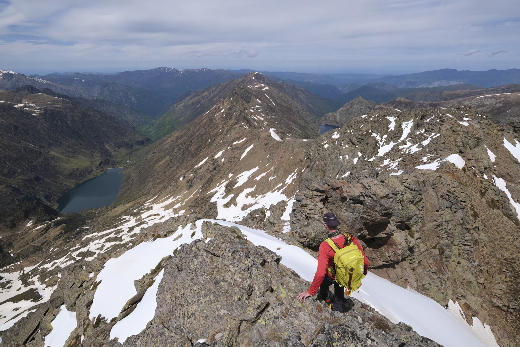
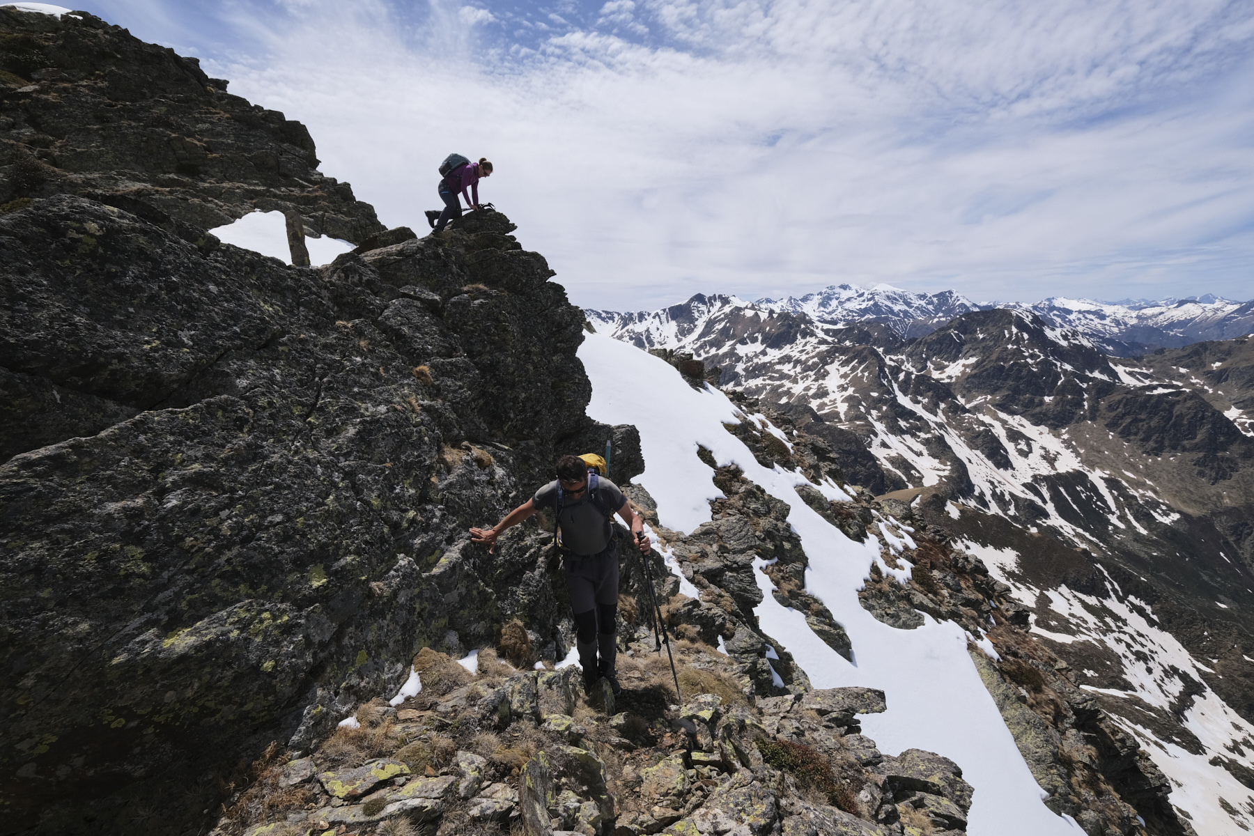
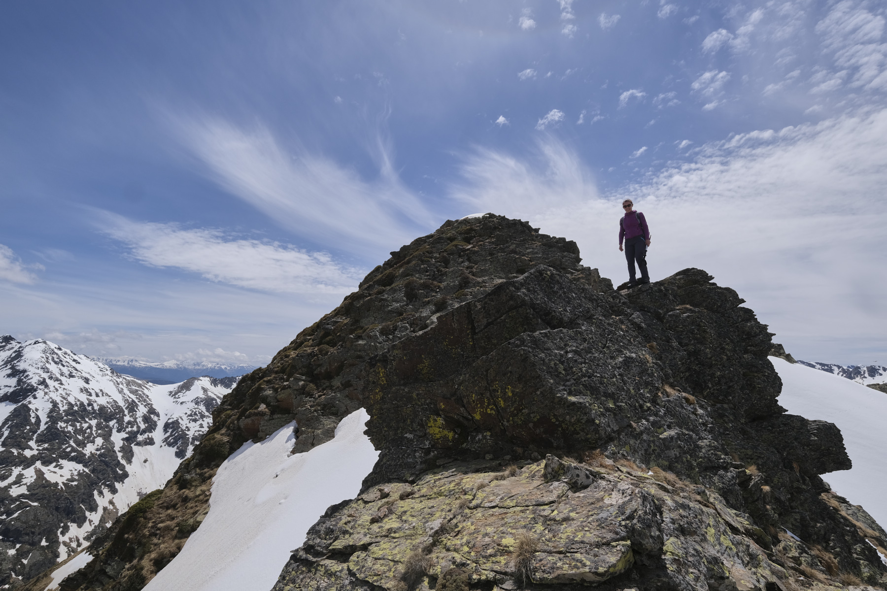
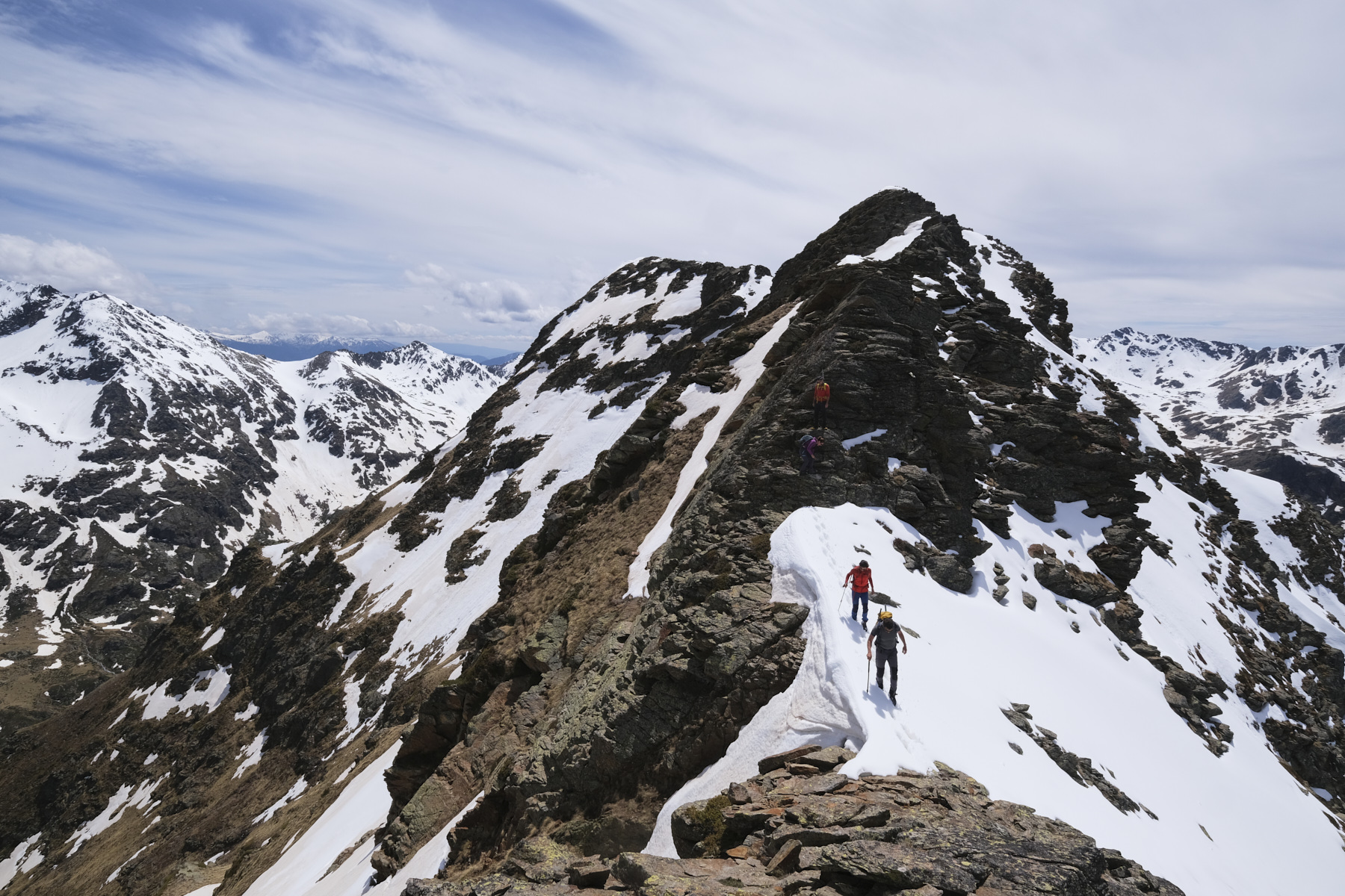
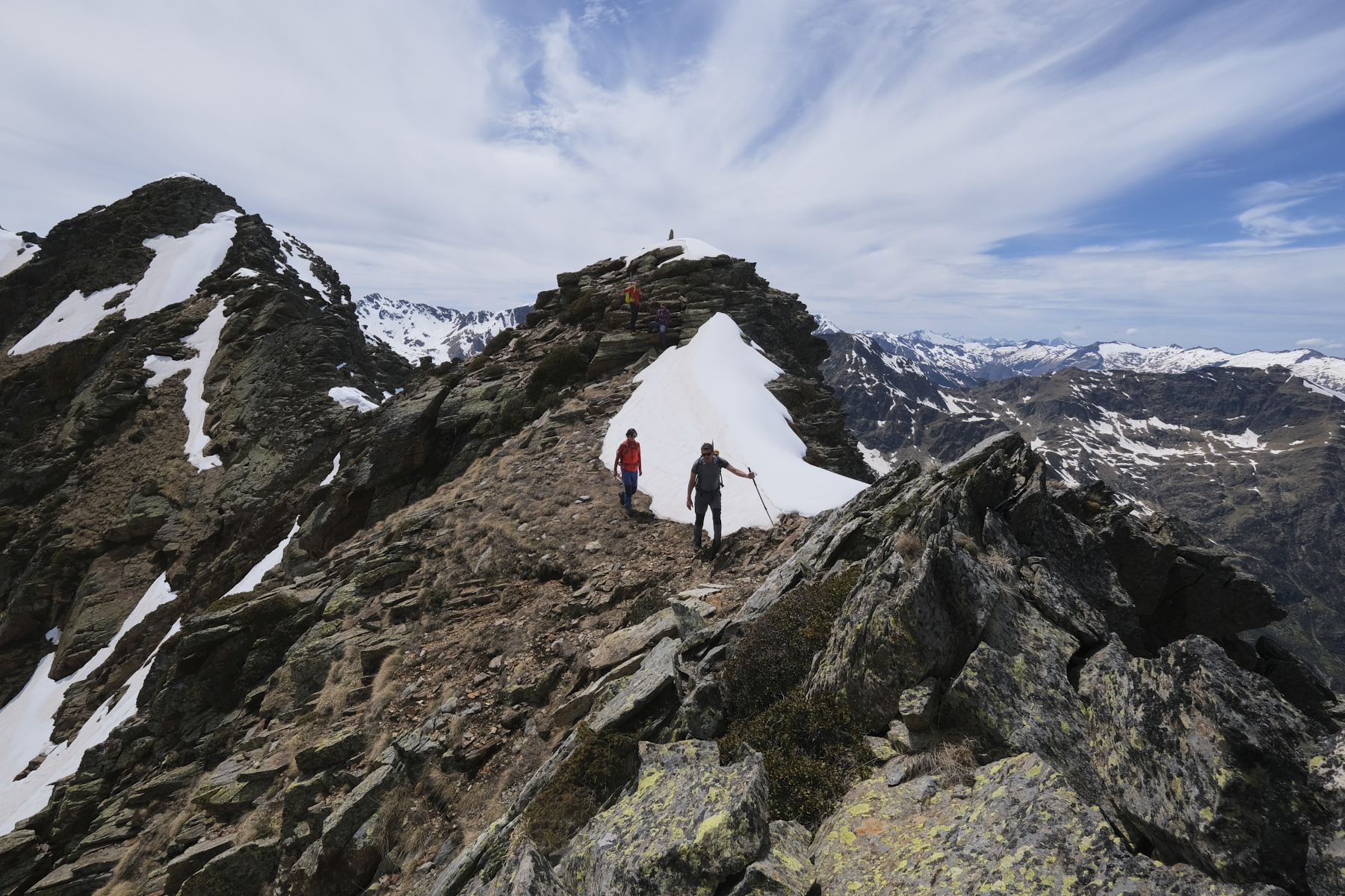
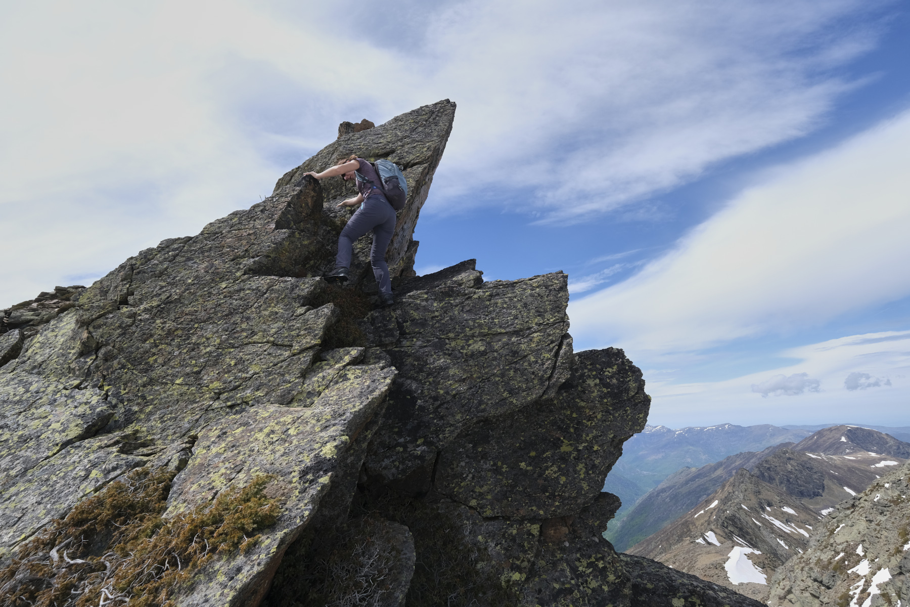
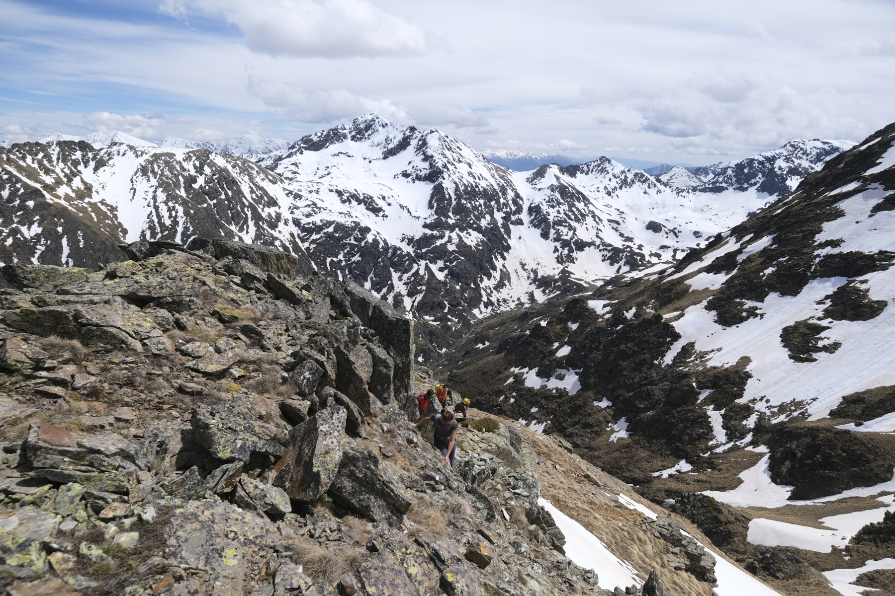
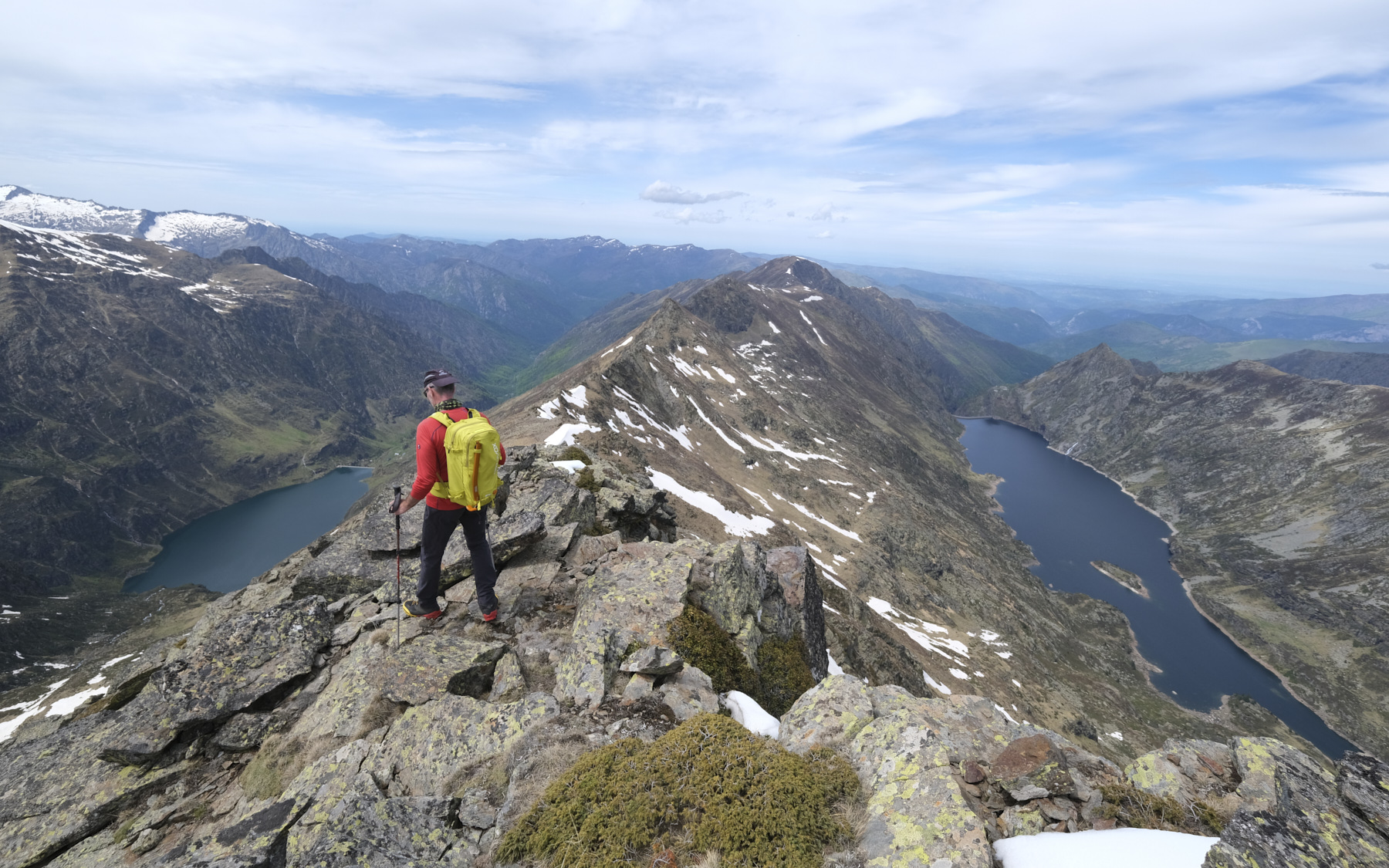
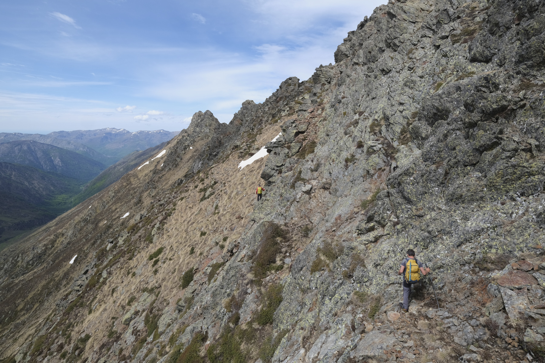
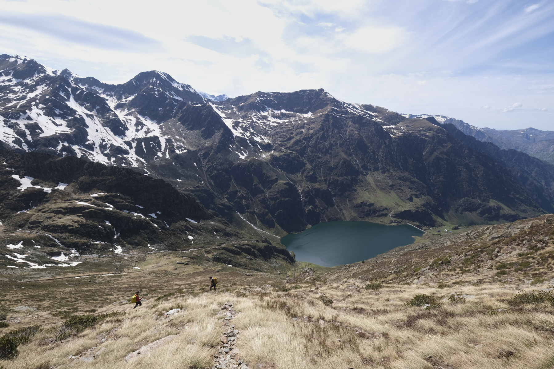
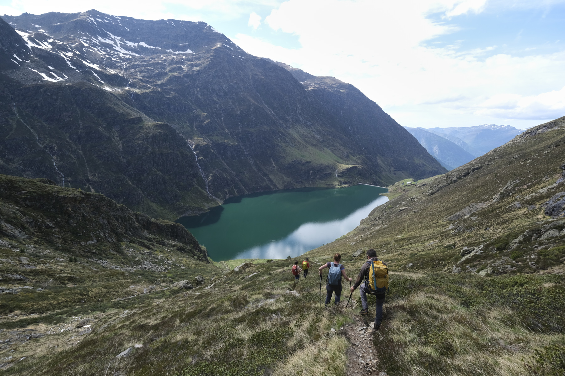
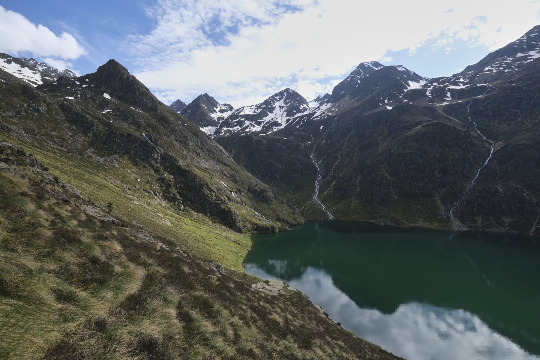
The ascent of Pic de l'Aspre via the Etangs de Petsiguer is a demanding, physical and committed route, with a significant vertical drop and the ascent of the West ridge, which includes some final sections to climb. The proposed return via the north-east and then north ridges is even more difficult, with numerous, often exposed passages to be descent-climbed, before joining a flatter section in the direction of Pic Peyrot. To avoid continuing (too long), it is possible to cut through the steep gispet slopes on the west side, in very steep and tricky terrain, to return to the path of the outward journey a little above the étang d'Izourt. A very fine hike, perhaps more in the opposite direction, via Pic Peyrot to Pic de l'Aspre and back down via the Petsiguer ponds.

Sous le sommet du Pic de l’Aspre

Technical summary

Departure point: Parking de Pradière d'En Haut, Artiès, Auzat, Ariège (09)
Type of route: high-mountain alpine hike
Distance: 17 km
Cumulative elevation gain: +1600 m
Cumulative negative elevation gain: -1600 m
Estimated total time: 9h to 10h
► Min and max altitude: 1155 m / 2765 m
► Marking: GR to étang dYzourt then yellow PR to étangs de Petisguer, the rest is off marked trail (cairn) or off complete trail.
Equipment in place: none
Equipment to bring: GPS track may be useful, crampons ice axe depending on season.

Difficulties: Numerous climbing passages (III max) often exposed in the final section of Pic de l'Aspre and on the north ridge towards Pic de Peyrot, off-trail descent on the steep and tricky south slope in the gispet.
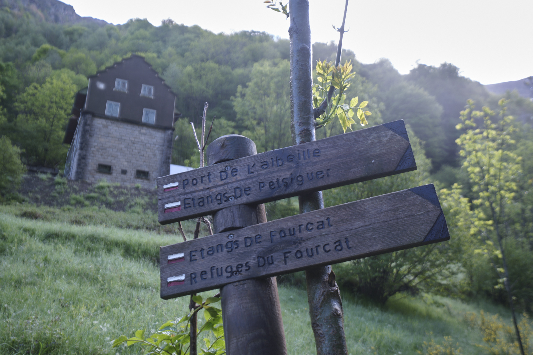
Access to the place

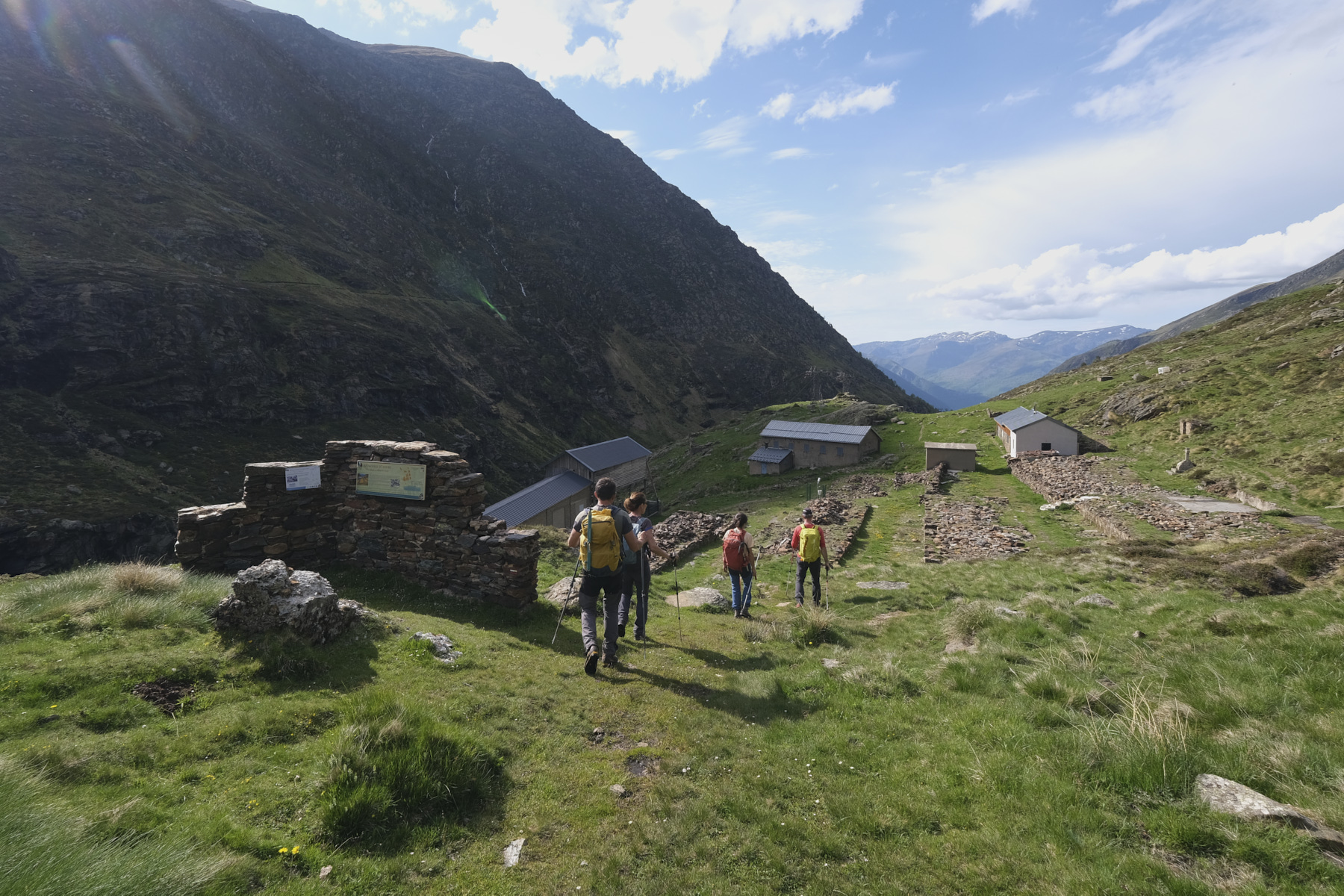
On the N20 at the Tarascon-sur-Ariège exit towards Axles-Thermes, turn south towards Vicdessos and Auzat. In Auzat, take the D8 towards Soulcem, then turn left towards Artiès. Drive through the village and park at the Pradière d'en haut parking lot just before the power station.

Itinerary description

Course

Part 1: Étang d'Izourt and étangs de Petisguer (3h30)

Follow the GR10 up the valley of the Ruisseau d'Arties on the left bank, then very quickly on the right bank to reach the Etang d'Izourt dam, the old installations and the refuge. At this point, leave the GR10 and follow the yellow PR trail that climbs diagonally up the west side of the lake (do not follow the lower trail leading to the Etang Fourcat refuge). After ascending all the way up to the étang d'Izourt, the trail climbs a steep section before reaching the bed of the Petsiguer stream. Follow the path as it rises up the eastern slope to return to the weir at the level of the Petsiguer ponds at around 2300m. You are now right opposite the western ridge of Pic de l'Aspre.
Part 2: Pic de l'Aspre via the west ridge and south summit (2h)

Cross the Petsiguer stream and tackle the ridge, first north-west then due west. The ascent follows a path with cairns. It's steep and sustained. The second part is rockier and you have to put your hands down in places to balance yourself or climb boulders. It's easy to reach the foot of the summit of the Pic. The final climb is not too difficult and ends at the official summit of Pic de l'Aspre. You can walk for ten minutes or so to reach the southern summit a little higher up and enjoy the extraordinary panorama of the Pyrenees.
3rd part: north-east then north ridge to 2400m (1h30)

This is the most delicate and challenging part: the northeast ridge is very uneven and airy in places. It climbs, then descends again, passing several summits with climbs and descents that are not too difficult (III max), but some passages are very exposed and impressive. The ridge then turns north, and the difficulties continue, but a notch lower, before joining a flatter, more rounded section towards the Pic de Peyrot at an altitude of around 2400m.
4th part: return by cutting back to Izourt (2h30)

It's possible to cover the whole northern ridge to pass the Pic de Peyrot and descend to the Pradière parking lot on the west side from the col, but it's very long. We took the option of cutting back to the outward path when we reached the Petsiguer stream after the steep section. Very tricky descent on steep gispet slopes.

Once back on the outward path, it's time to make the long descent to the Pradière parking lot, skirting the étang d'Izourt.

Map & topo

The route from the étangs de Petsiguer to the Pic de l'Aspre, the north ridge and the descent to the west side are indicative.
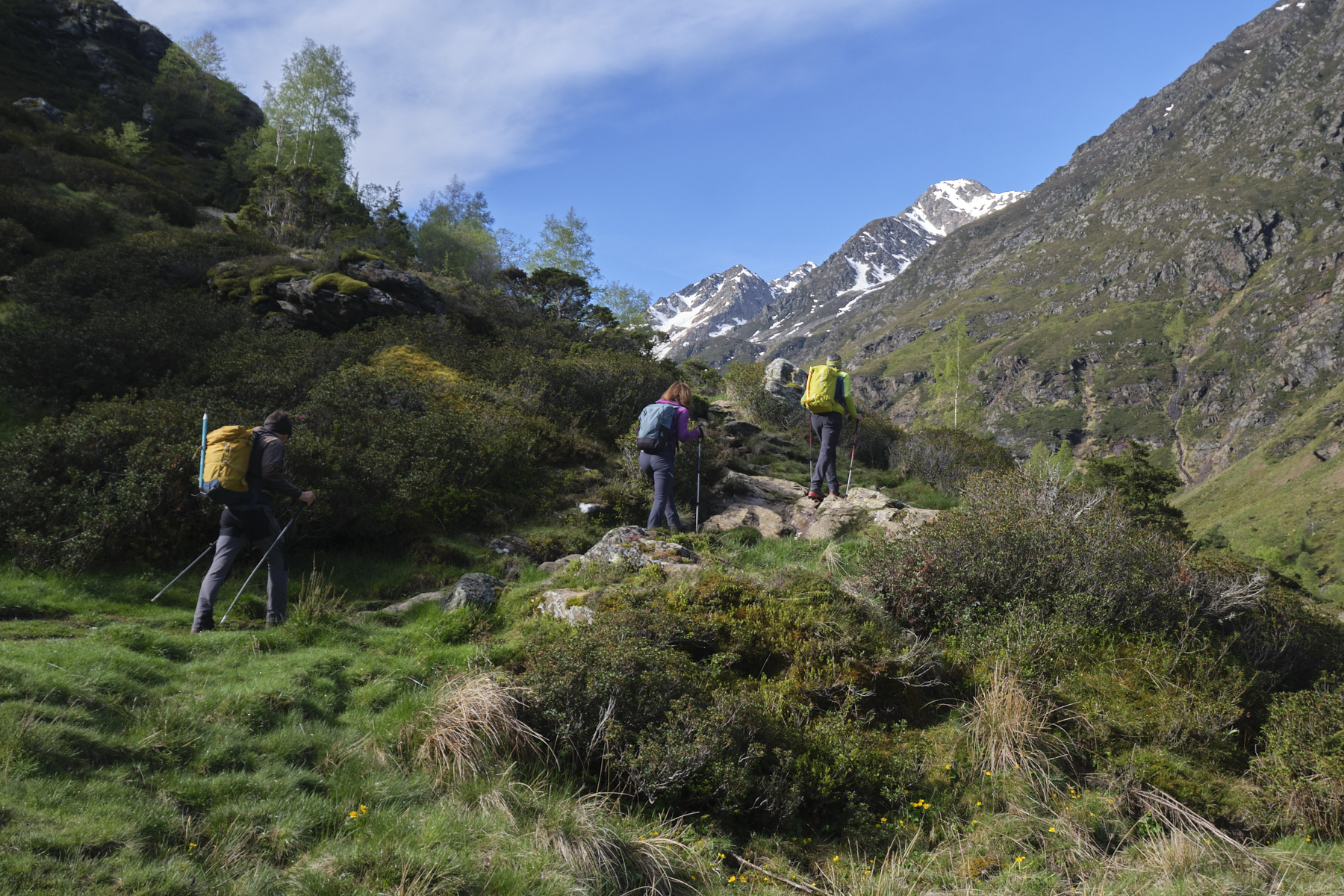
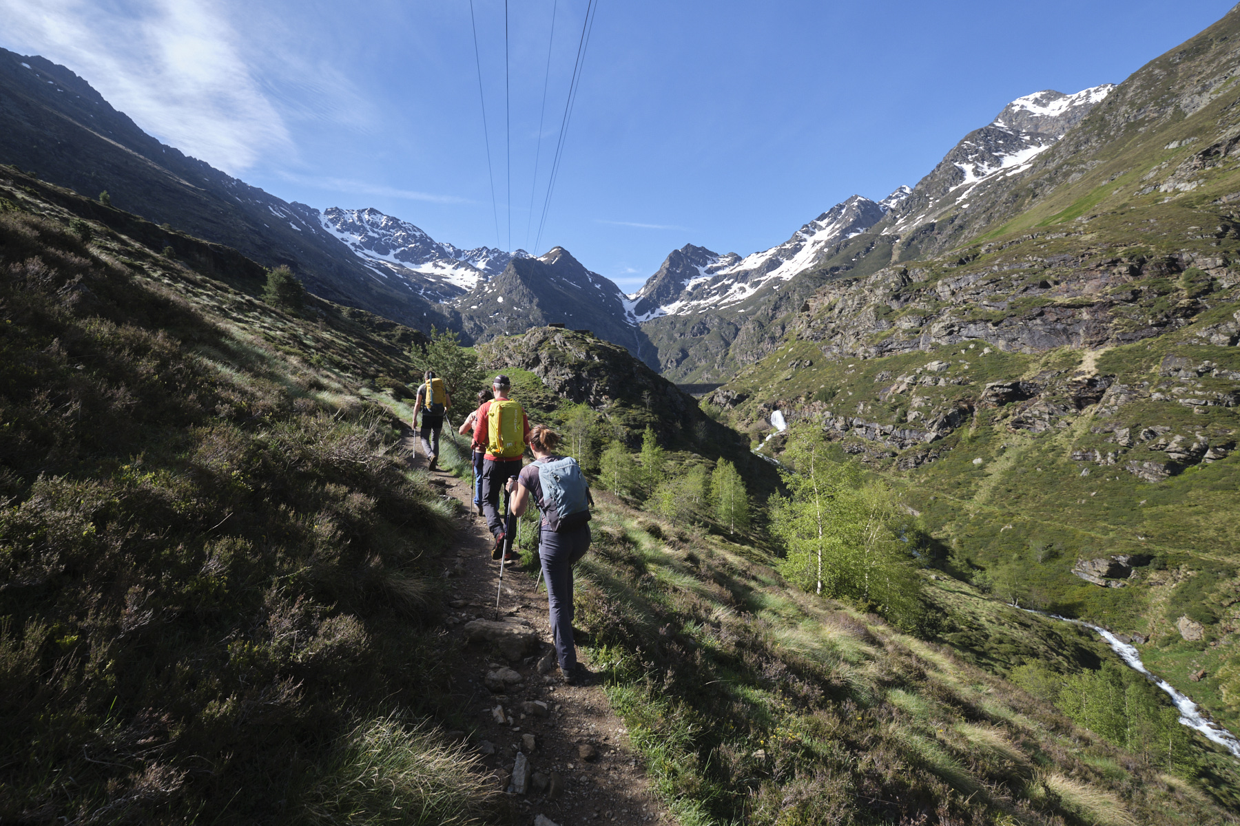
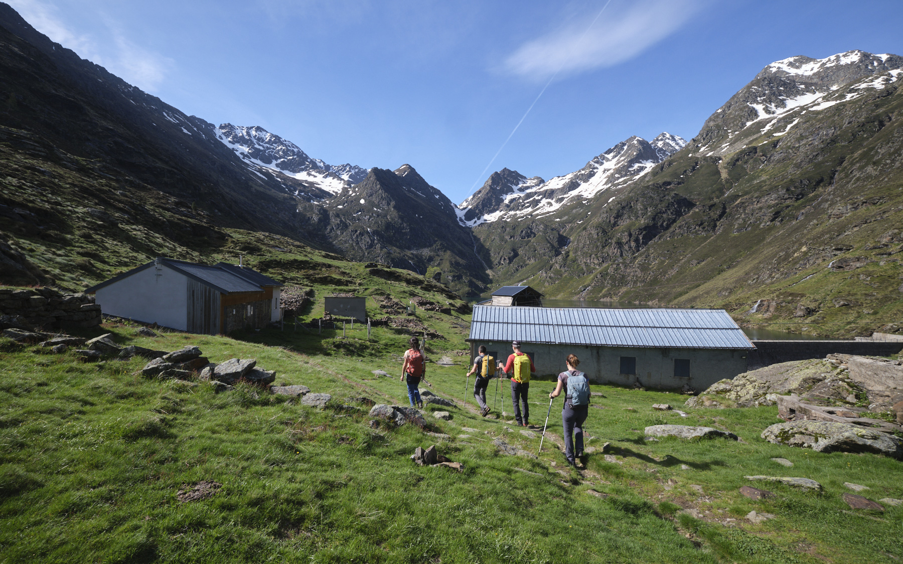
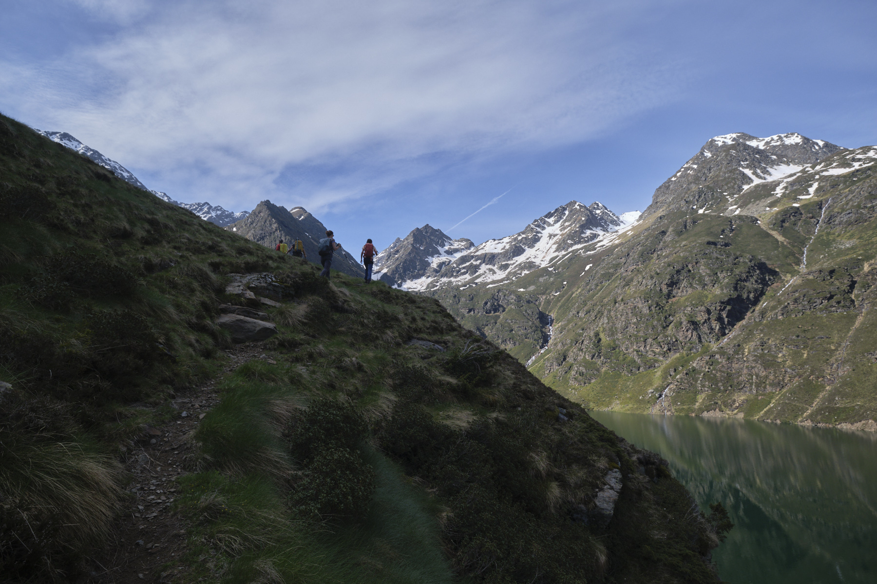
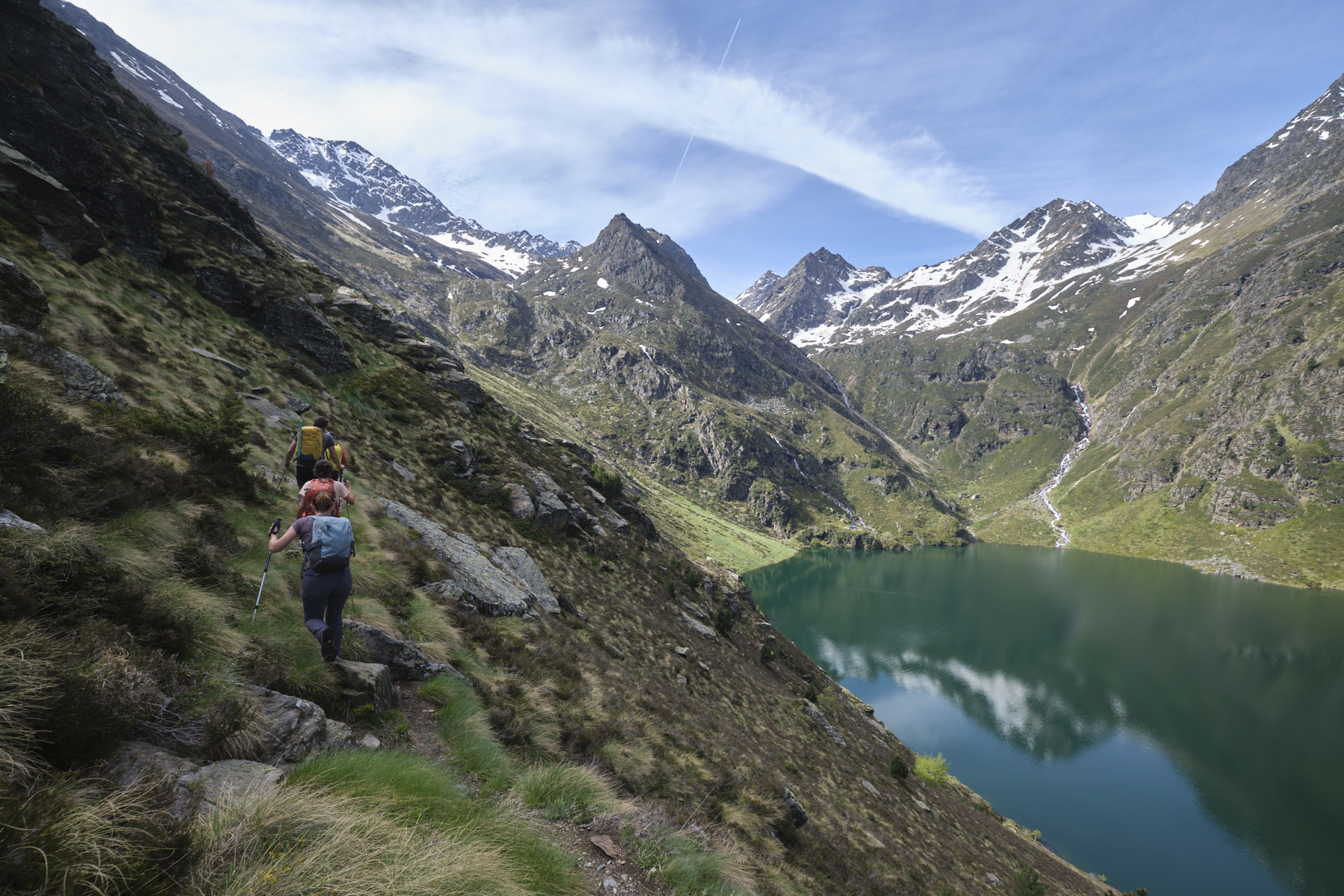
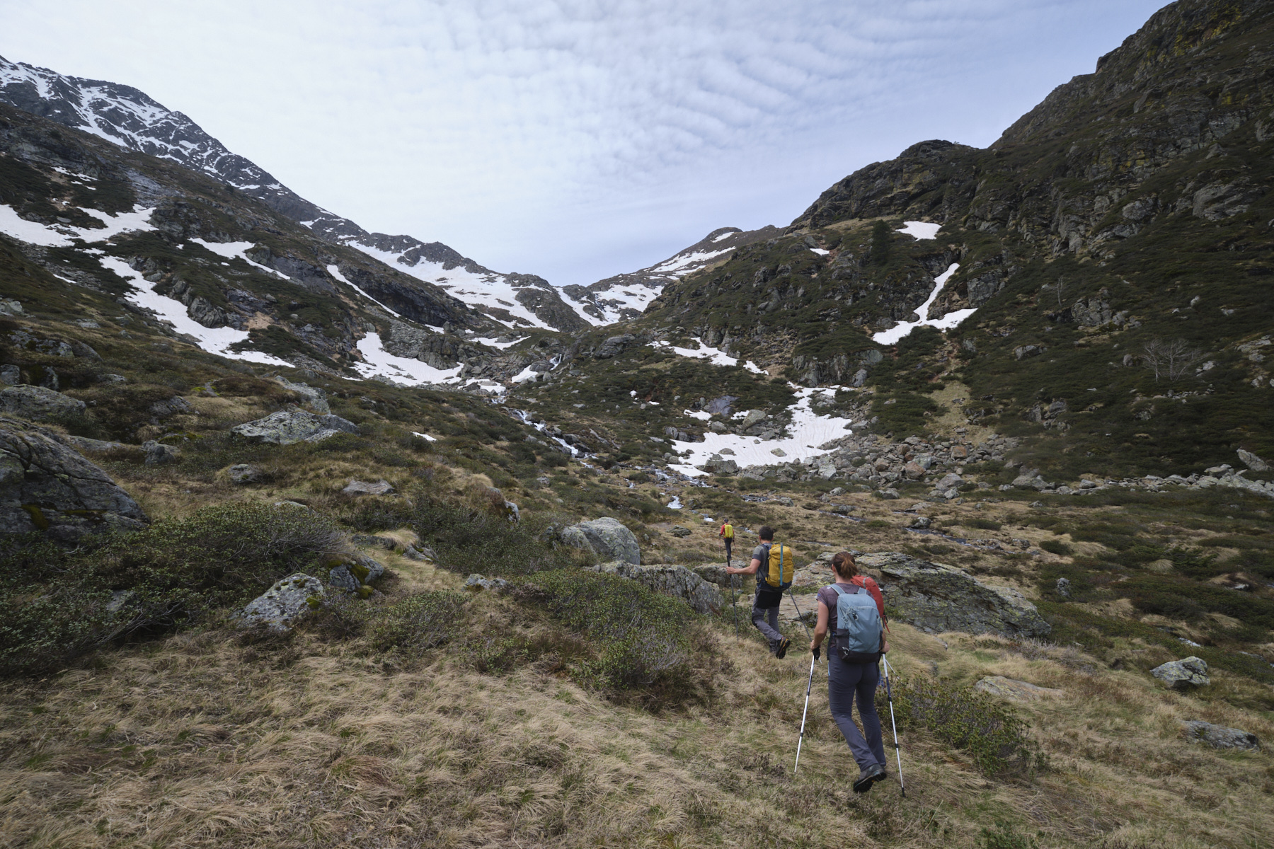
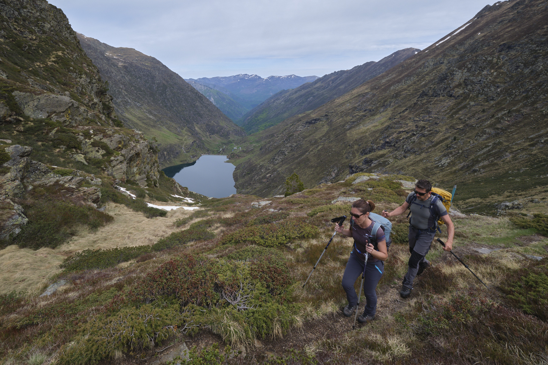
Voir en plein écran

Photos

Commentaires

Leave a Reply

Basic HTML is allowed. Your email address will not be published.

Subscribe to this comment feed via RSS