TOPO
Pic Perdiguère via the Litérole ridge, Vallée d’Oô
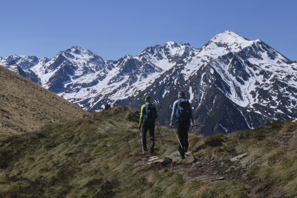
The ascent of Pic Perdiguère via the Litérole ridge offers a beautiful high-mountain alpine itinerary. The loop starts at Lac du Portillon and takes in some of the twelve 3000m peaks in this area. Whether on the south or north side, the panoramas are exceptional, with numerous high altitude lakes in unreal blue hues standing out against the mineral scenery and last snowfalls of the season. This route, above 3000m, requires very good weather and, depending on conditions, may require equipment such as crampons and ice-axe. The managers of the Portillon refuge are very friendly and welcoming, and will be happy to advise you before you set off.

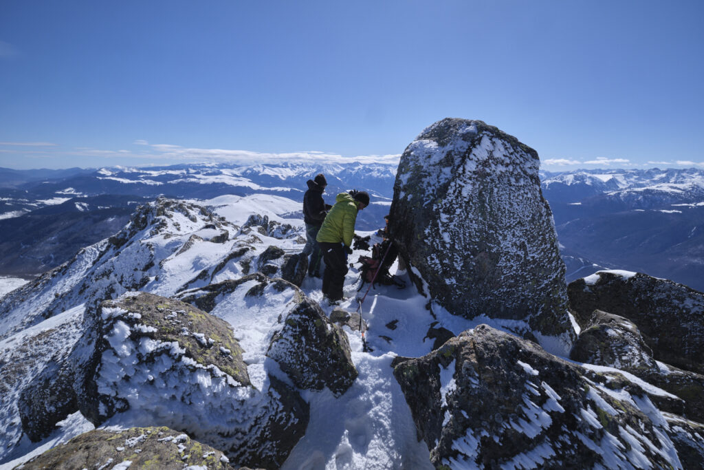
Sur la crête du Perdiguère
Technical summary
Type ✦ Alpine hiking
Location ✦ Lac du Portillon, Oô valley
Region ✦ Haute-Garonne
Country ✦ France
Max altitude ✦ 3222m
Distance ✦ 8.1km
Vertical drop ✦ 880m
Difficulty ✦ E4 / T4 / R3 or PD-
Duration ✦ 5h to 6h
Interest ✦ ★★★
Access to the place
The route starts from the Portillon hut (2570m), located in the extreme south of the Haute-Garonne, in the upper part of the Neste d'Oô valley. To get there, it's a 4-5 hour climb from the Granges d'Astau (1140m). For full details of the access route, see the Lac du Portillon hike post.
Itinerary description
Hiking to the start 5'
From the refuge, cross the dam and follow the path up into the lower Litérole valley. You soon come to the inconspicuous junction with the return path of the normal route. Here begins the ascent to the Col inférieur de Litérole.
Course 3h à 3h30
A challenging high-mountain alpine route that's quite physical despite its short distance. The route is fairly obvious and the paths and ridges are generally marked with cairns, even if you can't see much from the bottom. There is a tricky descent step at the entrance to the ridge (IV). The crête de Litérole poses no technical problems - you're often on your feet walking along - but there are some fairly aerial passages. The same applies to the ridge leading to the summit of Perdiguère: you'll need to use your hands quite often, but it's not too difficult (III+ maximum).
Crampons and an ice axe may be required for the ascent and descent if you're setting off early in the morning or if there's a lot of snow. Ask the refuge keeper for details.
Part 1: Col inférieur de Litérole (2981m, 1h)
At the fork in the road, climb steeply to the left to reach the top of the stony valley (beware of the trails that continue to cross the valley, which can be misleading). You then pass over a gently sloping area before gradually returning to the scree at the bottom of the valley. The end is reached on a névé, which is not difficult if the snow is soft. We finish on a narrow pass between the Pic des Crabioules and the start of the Litérole ridge. Overlooking the magnificent Ibon Blanco de Literola on the Spanish side.
Part 2: Crête et pointe de Litérole, Pic Royo and viewpoint (3132m, 1h to 1h30)
Attack the ridge, staying as close as possible to the edge. The ridge rises quickly, and in places you can see a path and a few cairns. You soon find a tricky step leading to a small gap. Then pick up the thread of the ridge, which you can follow without too much difficulty to the summit of the Pointe de Litérole. You'll need to use your hands quite often, but more for balance or support than for climbing (III/III+).
At the Pointe, continue on the ridge to descend and climb slightly to the Pic Royo, which, as its name suggests, is covered with a characteristic red-brown rock. From here, you can retrace your steps on the ridge heading north to reach a sort of viewpoint almost directly over Lac du Portillon. Beautiful panorama.
Part 3: Crête et pic de Perdiguère (3222m, 1h)
Return below Pic Royo, possibly validating the Tuc de Litérole (another 3000m) and attack the final ridge towards Pic Perdiguère. Here, too, there are a number of handholds (III+ max). The route climbs over one or two bumps before reaching the final ramp. The first part of the route is a little inland on the north side, but after that you can join the ridge on the final section, which is more spectacular, with incredible views of the south face and the unbelievably blue Lake Ibon Blanco de Literola! We reach the summit of Perdiguère for a splendid 360° view: Aneto, Poset, Monte Perdido, the 3 highest peaks in the Pyrenees all within sight.
Back
From the summit of Pic Perdiguère, climb down the ridge to the Col Supérieur de Litérole. From here, fork downhill to the west on the normal route. The scree quickly gives way to a long névé, fortunately soft by mid-day, which we climb down. Further down, cairns mark out a path not visible from afar between the rocks of a huge scree. It descends westwards for a while, passing over a rocky bar before turning and heading back almost due north. We pass under the bar and under another névé to cross above the lake on a slightly suspended mini-path. At the end, the path crosses a torrent flowing down from the lower Litérole valley, where it climbs a little to reach the junction with the approach path. A few minutes remain to return to the Portillon refuge.


Leave a Reply