


TOPO Canyoning | CLIMBING7.COM
Publié le
 Partager sur WhatsApp
 Partager sur Twitter
Partager sur Instagram
Partager sur Twitter
Partager sur Instagram

 Partager sur Facebook
 Imprimer le topo
 Laisser un commentaire

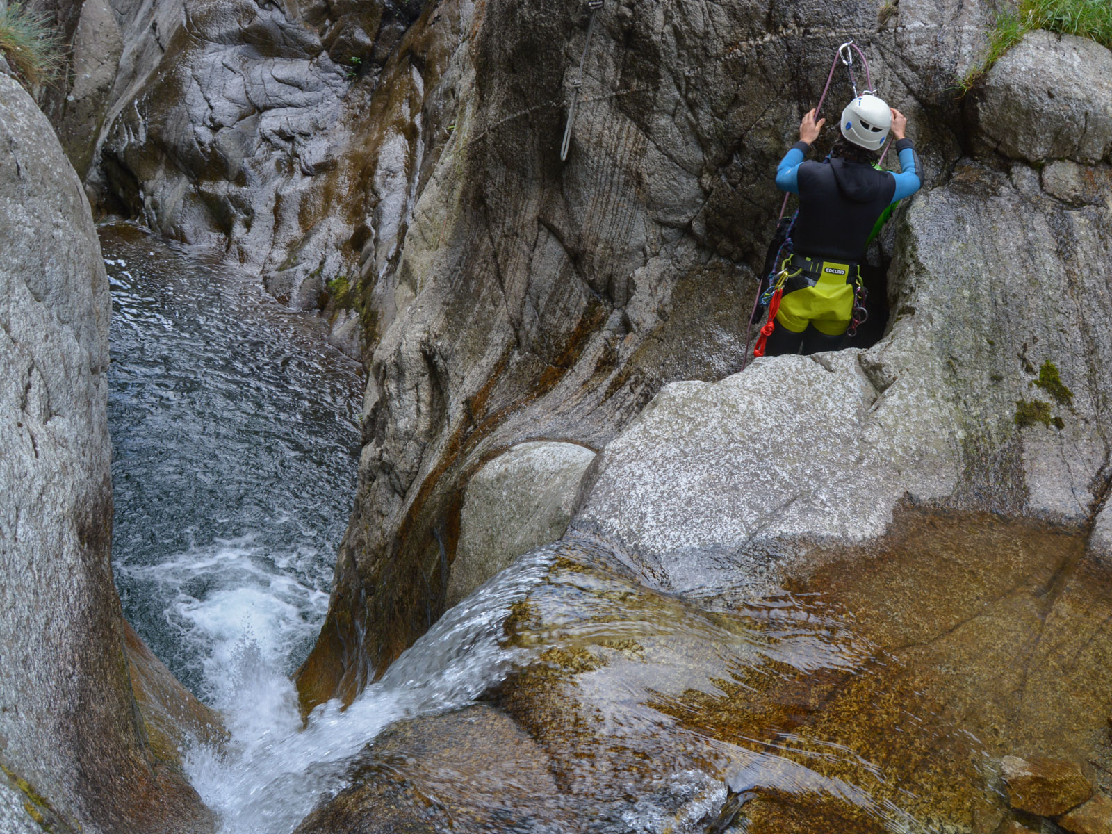
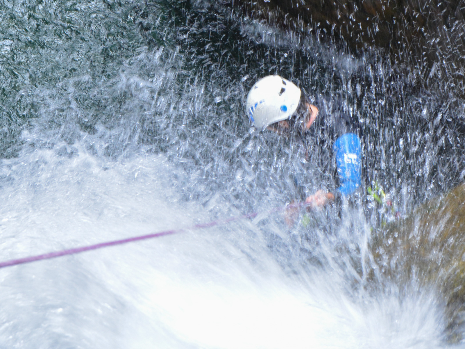
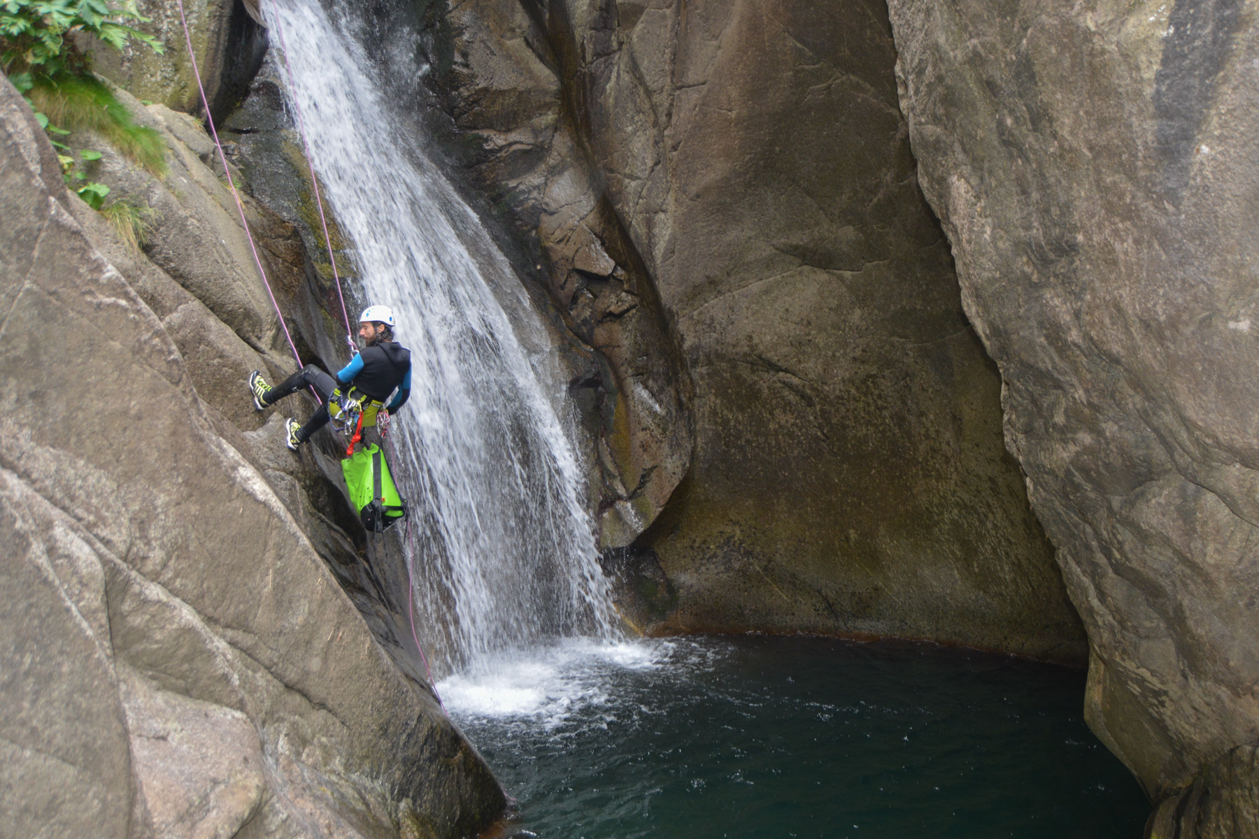
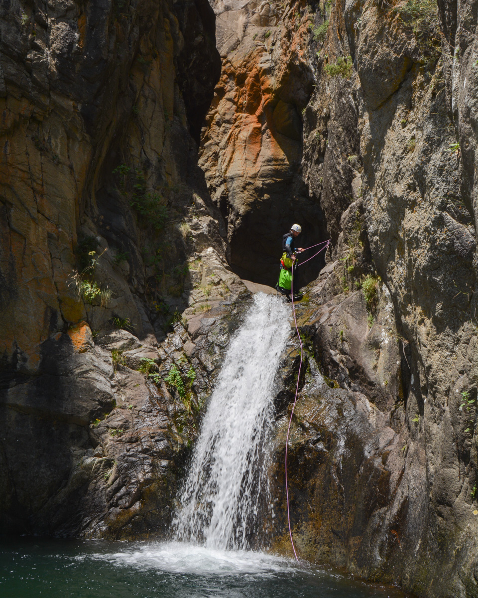
Above Ribes de Freser, the Gorges de Nuria canyon is billed as one of the most challenging in Catalunya. With today's low flow, the descent is ideal. The complete version proposed here includes the Gorges (upper Nuria), the lower section and the final stretch to the Daïo power station. Despite the discontinuity of the route, it's quite spectacular, with deep waterfalls and lots of water. A few impressive jumps and slides, fortunately avoidable, and a beautiful aquatic atmosphere in a typical Pyrenean setting.
❱❱ Technical summary
Type ✦ Water canyon
Location ✦ Ribes de Freser
Region ✦ Catalunya
Country ✦ Spain
Length ✦ 1.2km
Vertical drop ✦ 300m
Difficulty ✦ v3-a4-IV
Max abseiling ✦ 25m
Duration ✦ 3h to 4h
Interest ✦ ★★
❱❱ Access to the place
Go to Ribes de Freser, above Ripoll, and climb the road to Vall de Nuria. Then, 2 options: either go up to Queralbs and start the approach from there (better for the exit at the end of the canyon), or go to the Daïo power station, which we did so that we could also do the Canal de Freser loop (and also because it's difficult to park in Queralbs).
❱❱ Map & topo
Voir en plein écran
❱❱ Itinéraire
From La Centrale, cross the bridge over the Freser and climb towards Nuria. The path climbs steeply, then crosses over to join the Nuria torrent at the Cremal bridge. From here, climb again to pass higher up on the right, at the bottom of the Pont del Sastre. After several hairpin bends, the trail passes a rocky belvedere at the top of the gorge. A little further on, take the narrow path which descends to the left (cairn) and ends at the water intake, the starting point of the canyon, upper section (les Gorges).
A very watery canyon, we advise against descending if the water level is more than 2 fingers above the intake wall. Can be done in late summer or early autumn, but not after rain or at any other time, as it becomes dangerous. With a normal or slightly low water flow, as is the case today (low-water level), it can be used in good conditions. The big jumps and slides are impressive, but can be avoided by handrails and abseiling off the waterfall. The lower section seems to be more popular, especially with groups.
The topo from the Inextremis Aventura website shows some abseils that are apparently no longer placed in this way in the lower section.
2 options: either exit to the right and join Queralbs before descending on the road to the power station, or finish in the torrent bed all the way to the end for a true integral, which is what we did. There's a lot of walking and unclimbing in the boulders and overhangs, and in the middle there's a beautiful series of open waterfalls that can be passed by 1 abseil of around 20m on the left bank at the end of a handrail. In both cases, the return journey takes around 1 hour, with the 1st option probably less tiring. Unless you've left your car in Queralbs and made the approach from the village.


Leave a Reply