

TOPO Alpinism | CLIMBING7.COM
Publié le

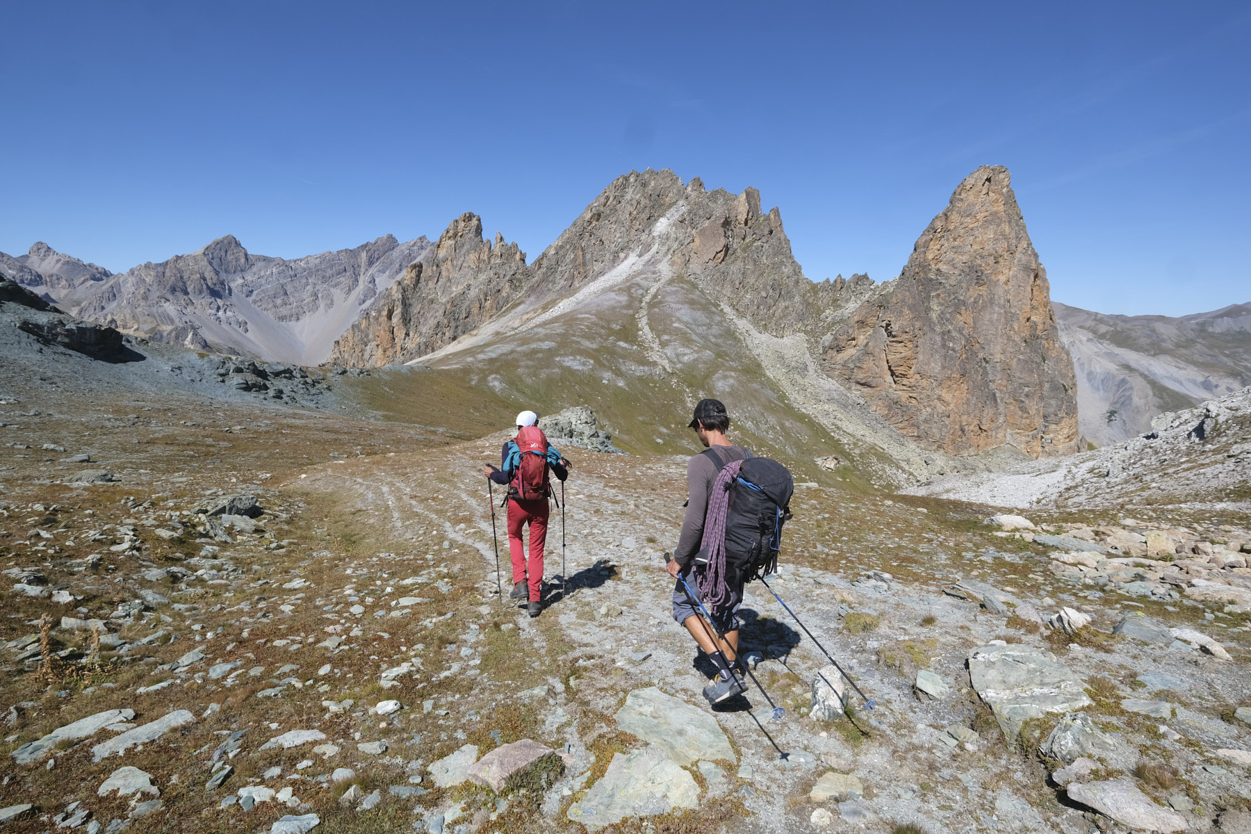
The Aiguille Pierre André dominates the Mary valley, facing the Aiguille de Chambeyron in a beautiful mineral setting in Haute Ubaye. Access to the route via the Marinet lakes is splendid, offering an ideal approach from the top to reach the west col where the first of three pitches begins. The climbing level is easy (III+/IV- max), the route is short but the scenery is well worth the detour. On the way back, we descend the steep north-east slope that forms the Mary valley, to return on the GR back to the starting village.
❱❱ Technical summary
► S tarting point: Maljasset, Haute Ubaye, Alpes-de-Haute-Provence (04)
► Type of route: high-mountain hike combined with a mountaineering route
► Distance to cover: 14 km
► Cumulative elevation gain: +920 m
► Cumulative negative elevation gain: -920 m
► Estimated total time: 6h to 7h
► Min and max altitude: 1900 m / 2813 m
► Marking: GRP Tour du Chambeyron up to the Marinet lakes, unmarked trail thereafter.
► Length: 80m in 3 pitches (20m, 30m, 30m)
► Difficulty: III+/IV- max (III+, III, III-)
► Equipment in place: a few pins, pitons, equipped belays
► Equipment required: 2x30m minimum, a few medium-weight belay devices
❱❱ Access to the place
From Barcelonnette, take the D900 towards Col de Larche and Cunéo. After La Condamine-Chatelard, turn left onto the D902 towards Saint-Paul-sur-Ubaye. At the entrance to the village, follow the tiny D25 road towards Fouillouse and Maljasset. Park just before the village of Maljasset in a large parking lot on the left, at the bottom of the road.
❱❱ Map & topo
❱❱ Itinéraire
From the parking lot, head towards the village of Maljasset, cross it and then descend towards the Mary valley. Cross the Ubaye on the bridge and climb onto the main track. Further up, cross a grassy jasse and continue on the path to the right. You climb up the right bank of the Mary torrent, with steep walls below the Aiguille Large and the Pierre André emerging above. Further on, leave the path that descends to the right (back) and continue straight on until you find the fork to the right towards the Marinet lakes, just before the upper Mary sheepfold. Cross the torrent and climb towards the Aiguille Large. Higher up, you come to a long flat area that leads to the first Marinet lake, with its jade-green hues and the mountainous Aiguille du Chillol and Aiguille de Chambeyron in the valley floor. Passing the bump on the east side towards the refuge de Marinet, you can take a look at the second, longer Lac de Marinet, with its translucent blue waters.
From the first small lake, leave the GRP and climb westwards along a small, unmarked but fairly visible path. Rise above the lakes, then follow the edge of the ridge which climbs straight up to Col Large, west of Aiguille Large. At this point, you enter a magnificent rocky valley that descends to pass between the Aiguille Large and the Aiguille Pierre André. Cut off at the same level to aim for the Pas Nord de Chillol, then head straight for the small pass between the Aiguille Pierre André and the Gélinasse, which you reach without difficulty after crossing a scree slope. This is the foot of the normal route on the west face of the aiguille.
L1 (20m, III+/IV-)
Go left on the large scale, then straight up. Avoid the steepest part by passing to the left to reach relay R1 on a small flat.
L2 (30m, III)
A vertical, straight start using the beautiful rock holds. The pitch is a little longer to belay R2 on another flat.
L3 (30m, III-)
Easier length on a slope to belay R3 below the summit. It remains to walk to the left and then to the right to reach the top of the aiguille.
Abseiling the route
2 or 3 times, depending on the length of rope available.
Descend below the col to join the valley between the Aiguille Large and the Aiguille Pierre André. Descend the valley on the path until you cross a flat area, then descend the steep slope with a series of short switchbacks on the steepest part. At the bottom, cross the torrent de Mary to find the GRP trail to follow back to Maljasset by the same route as the outward journey.
Leave a Reply