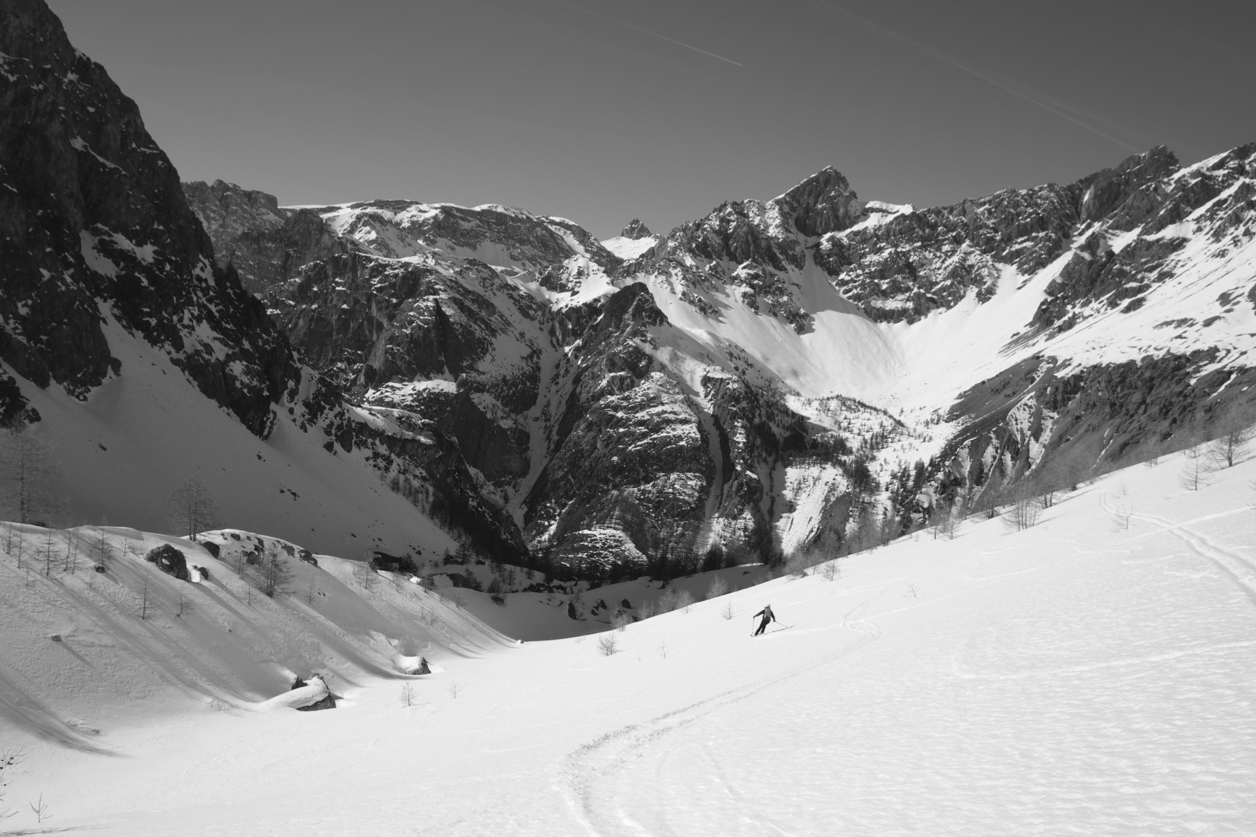
A major race and a great classic in the upper Ubaye valley! From Maljasset, the loop begins with an ascent of the magnificent Mary valley, stretching south-west towards the border pass with Italian Piedmont. A short ramp leads to the upper Marinet valley and its high-altitude lakes, beneath the jagged barrier of the Aiguilles du Chambeyron. Heading back north-east, the route leads to the Col Large and eventually to the Aiguille Large, which dominates the whole region. What follows is spectacular: a descent into a small suspended combe to skirt around the Aiguille Pierre André and climb back up to the Col de Miejour. Then 800m of slope to ski in the Teste valley through a larch forest to get back to the starting point. A beautiful hike in a beautiful high-mountain setting.
❱❱ Technical summary
► Itinerary : Ski touring. Difference in altitude 1000m, distance approx. 14 km (ascent and descent). Maximum altitude of 2857m at the summit of Aiguille Large.
► Geographical situation : Departure from La Barge or Maljasset, at the end of the upper Ubaye valley, in Alpes-de-Haute-Provence (04).
► Technical difficulties : Rated F, 3.2, E1 on Skitour. Slope 37° for 200m in the forest at the bottom of the Teste valley.
► Orientation : All
► Gear and equipments : Bring knives if necessary for the Marinet valley.
► General review : Very nice hike in a beautiful high mountain setting.
❱❱ Access to the place
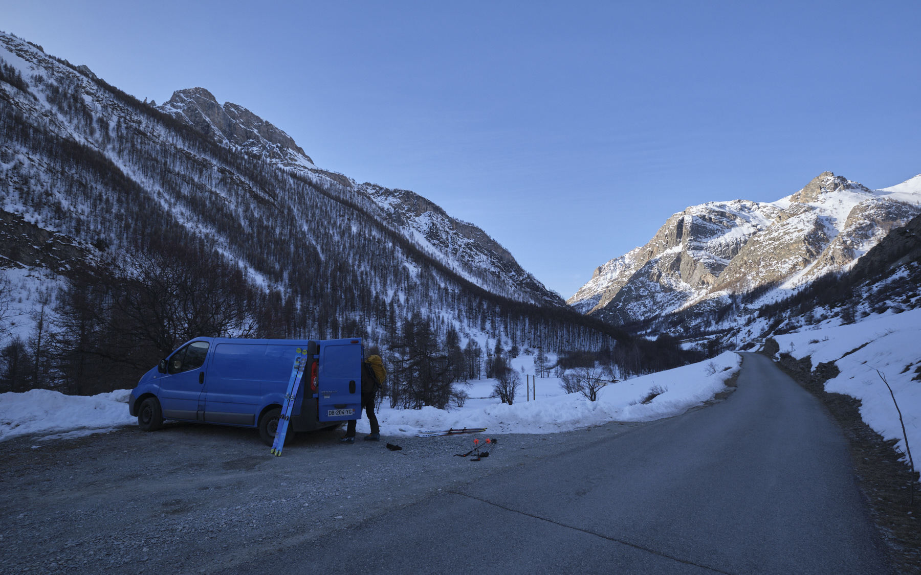
From Barcelonnette, take the D900 towards Col de Larche and Cunéo. After La Condamine-Chatelard, turn left onto the D902 towards Saint-Paul-sur-Ubaye. At the entrance to the village, follow the tiny D25 road towards Fouillouse and Maljasset. Park just before Maljasset at the hamlet of La Barge.
❱❱ Map & topo
The itinerary is approximate, drawn up after the outing.
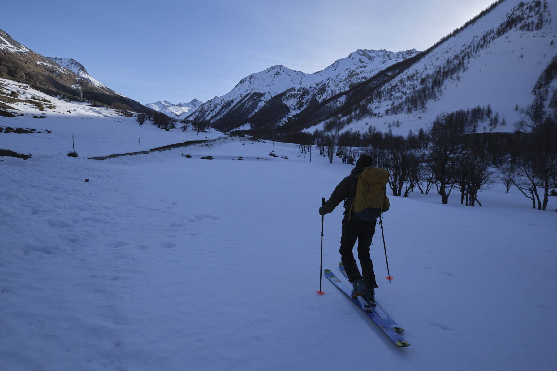
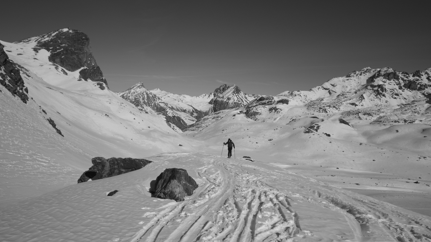
From La Barge, follow the Ubaye along its right bank as far as Maljasset. Pass under the village and cross the torrent a little further on. Follow the GR de Pays trail (red and yellow markings). The track twists and turns upwards, then continues through the forest to cross a narrow rise and reach the Mary valley. Head due south, leaving the junction that climbs to the left towards the Pointe Basse de Mary. The trail climbs gently, passing the Bergerie inférieure de Mary.
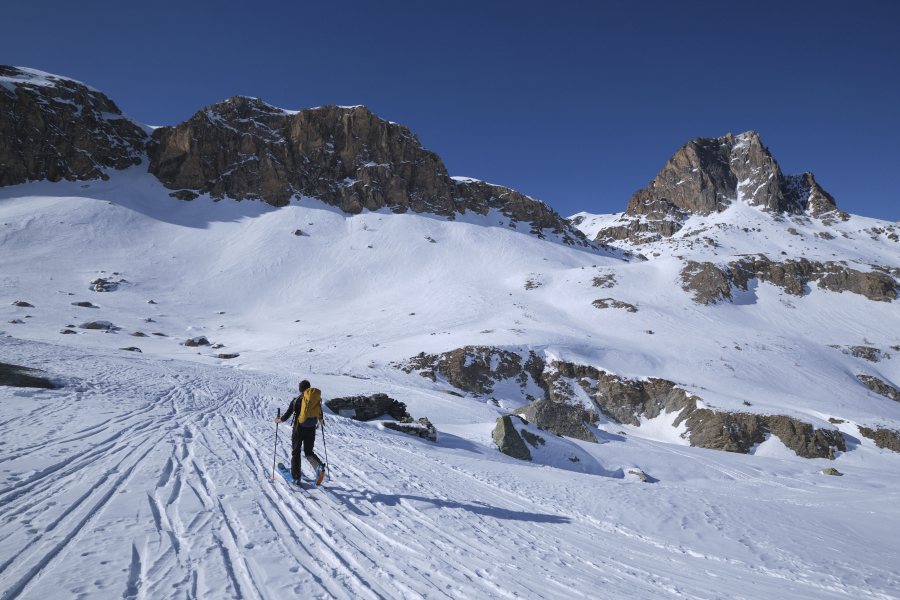
Continue on and just before reaching Bergerie supérieure de Mary, cross the torrent to reach the ramp (signposted to Aiguille Pierre André). The route heads west again, crossing a gully with a few short, steeper sections, before emerging into the long couloir formed by the Marinet valley, opposite the Aiguilles du Chambeyron.
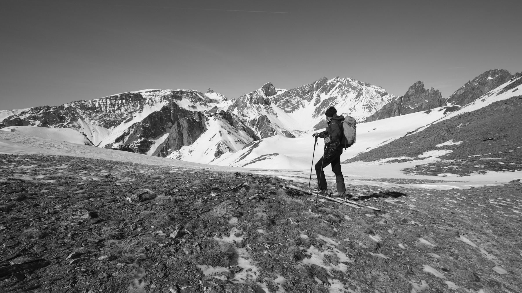
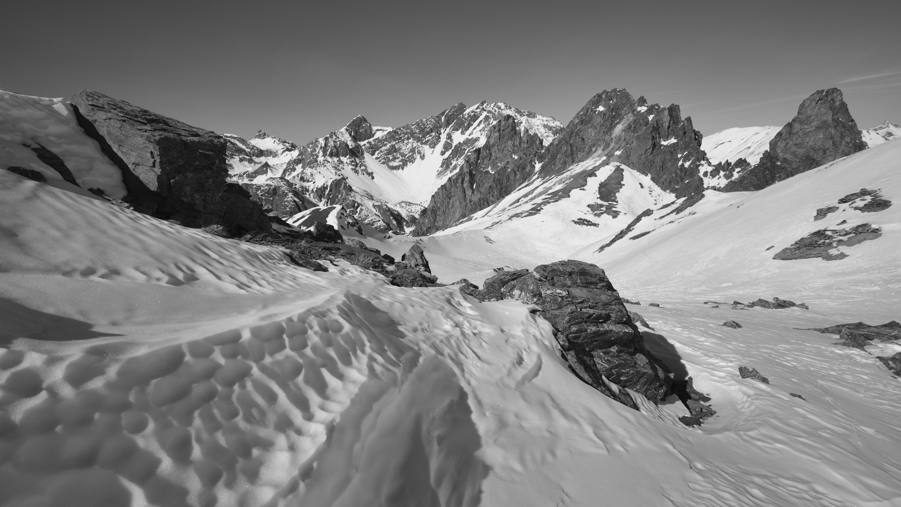
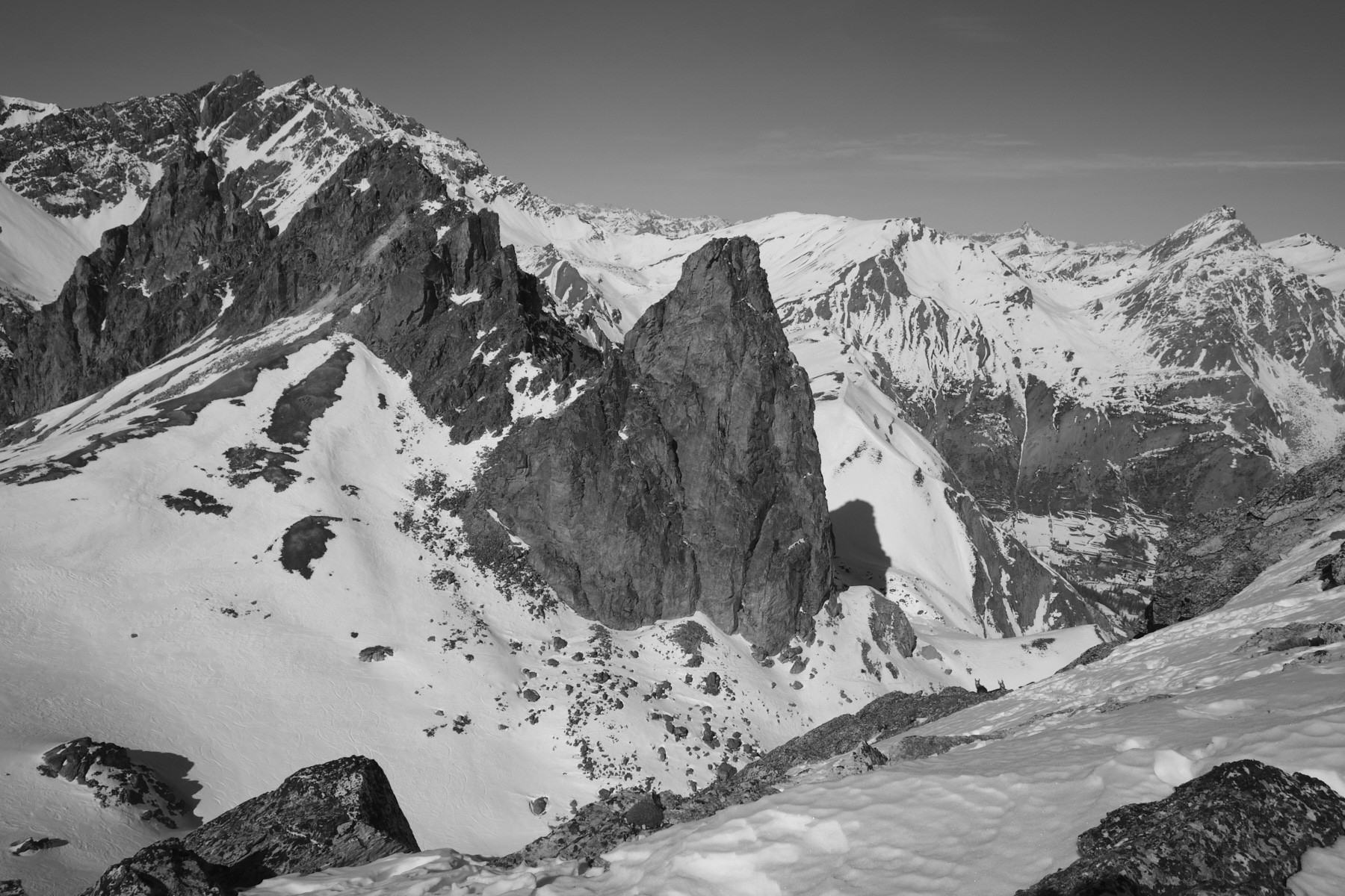
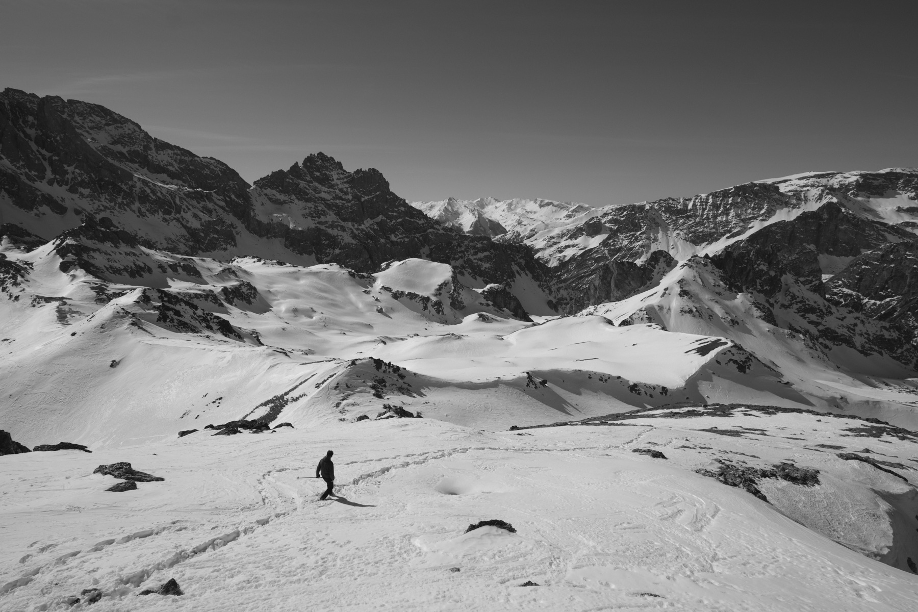
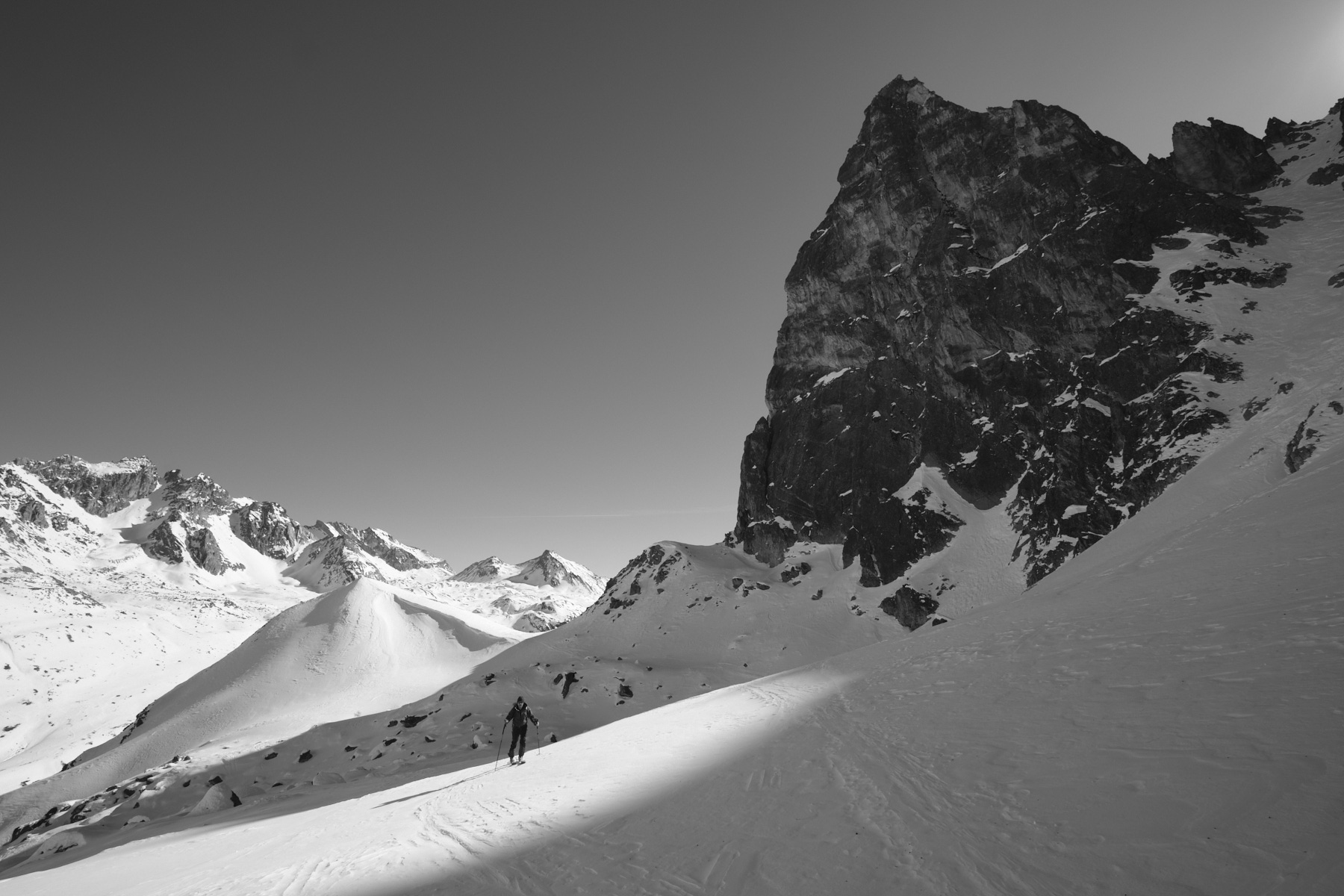
Sink between the frozen lakes and climb slightly uphill to find on the right the entrance to a small combe that leads above to the upper Marinet lakes. Once in the upper basin, this time turn north-east, crossing over the frozen lakes and gradually climbing to reach the ridge at the Pas Sud du Chillol. Follow this ridge all the way to the Col Large, at the foot of the Aiguille Large.
Ascent to Aiguille Large (30', 2857m)
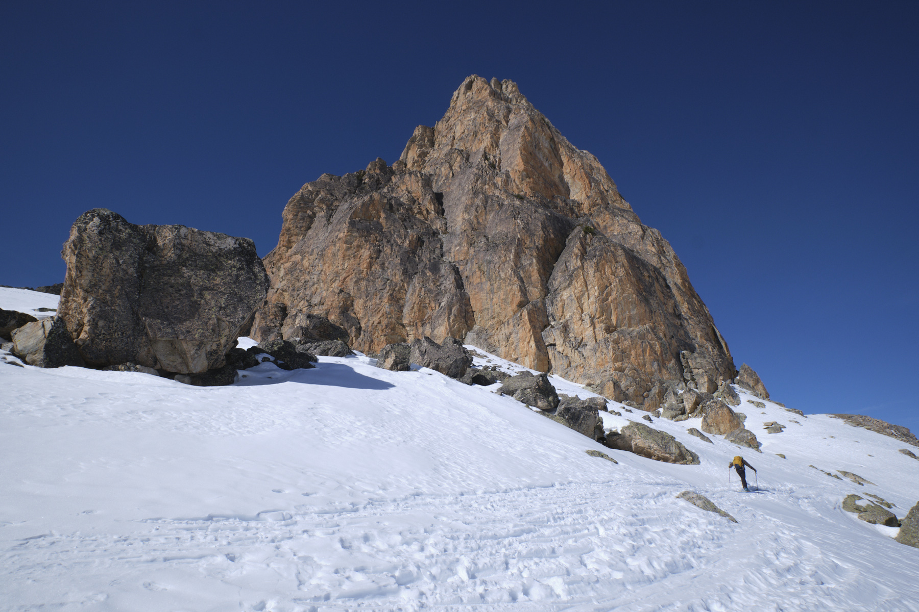
Without difficulty, climb straight up the slope following the summer path. At the summit, a mass of boulders and spectacular views of the Mary valley, the Aiguille Pierre André and the Aiguilles du Chambeyron.
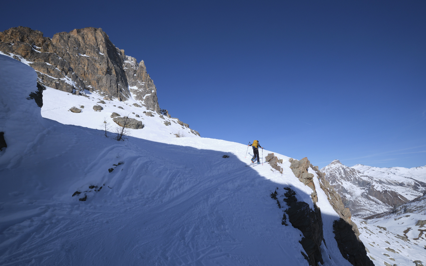
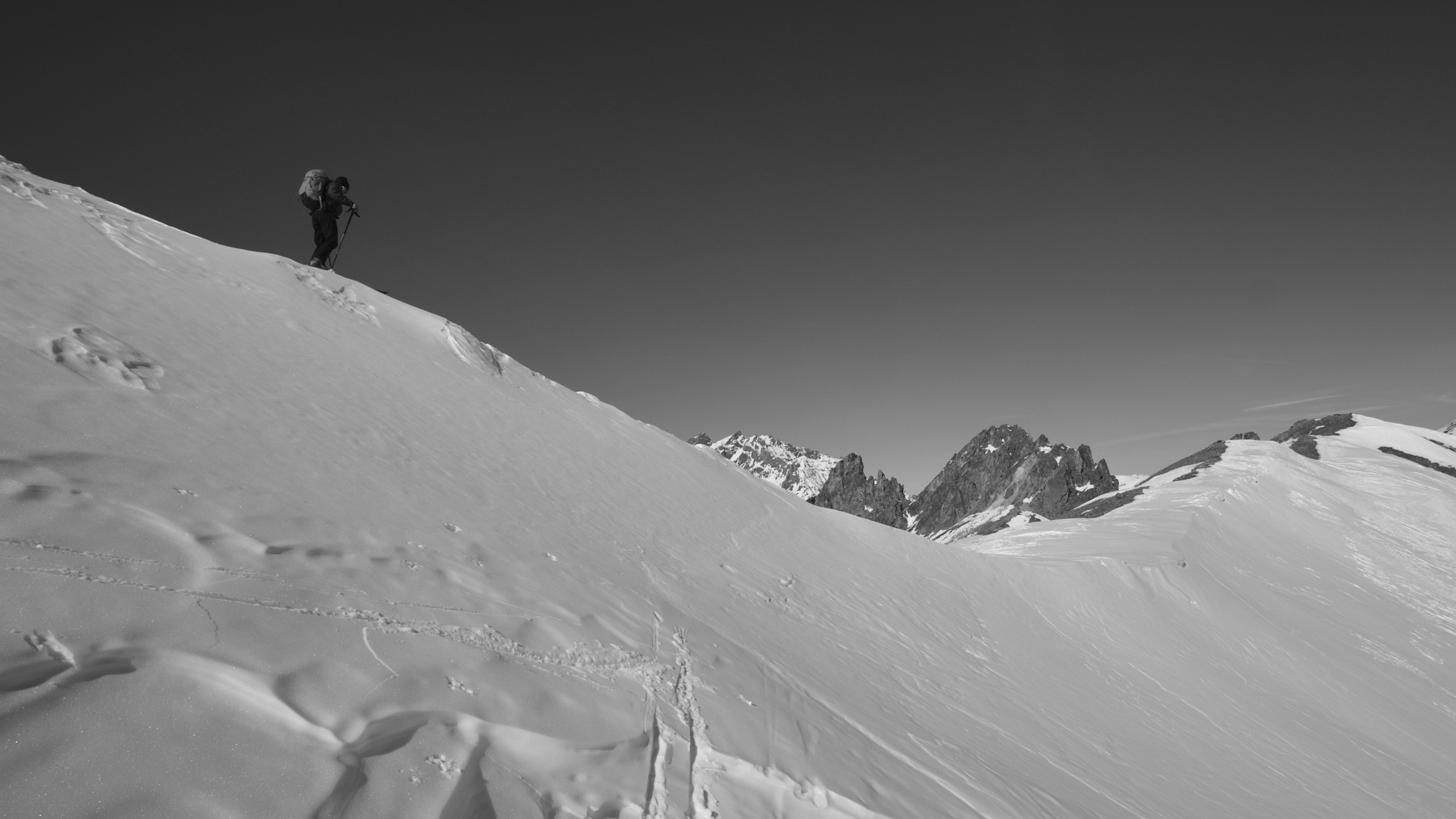
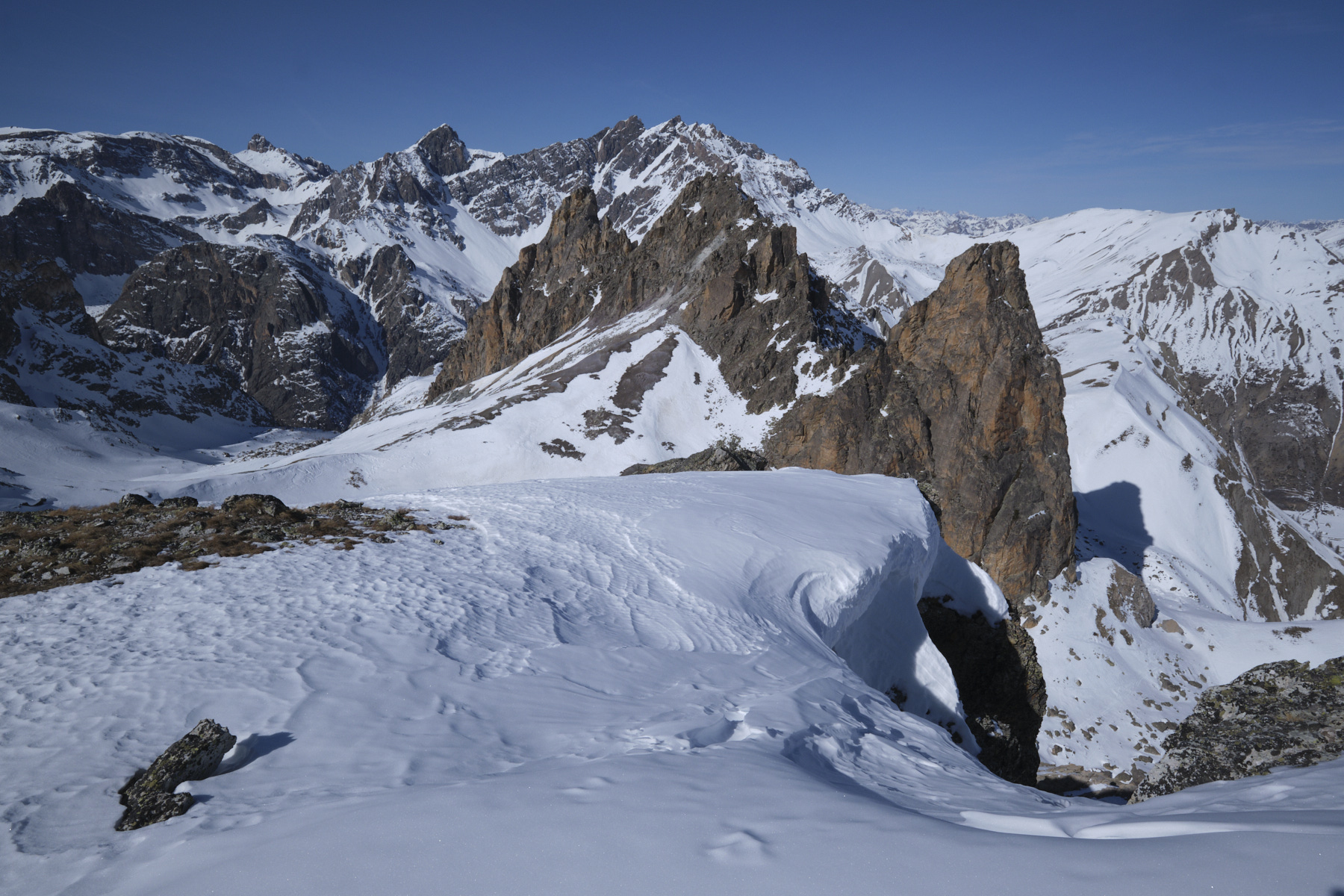
Descent around Aiguille Pierre André and Col de Miéjour (30', 2658m)
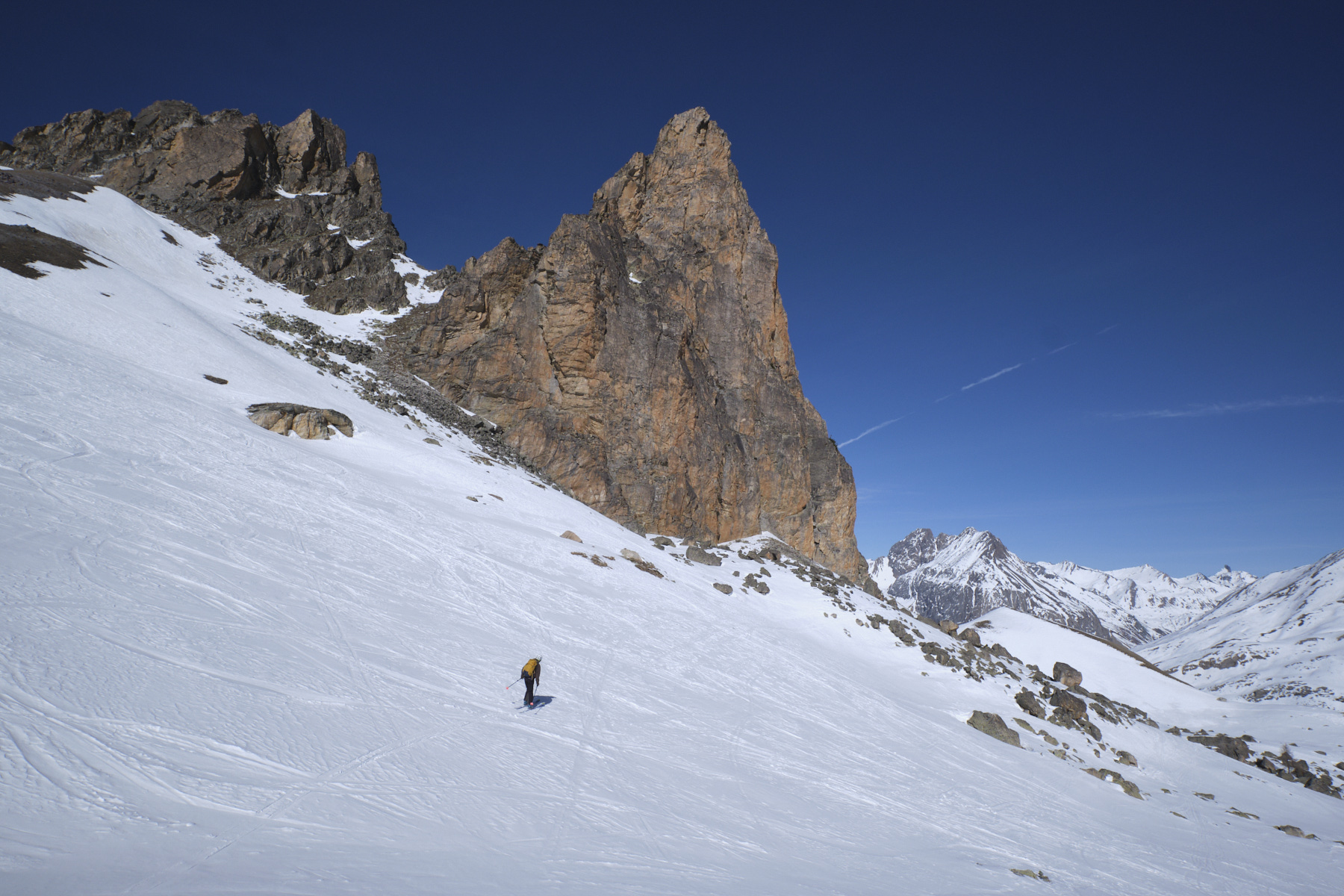
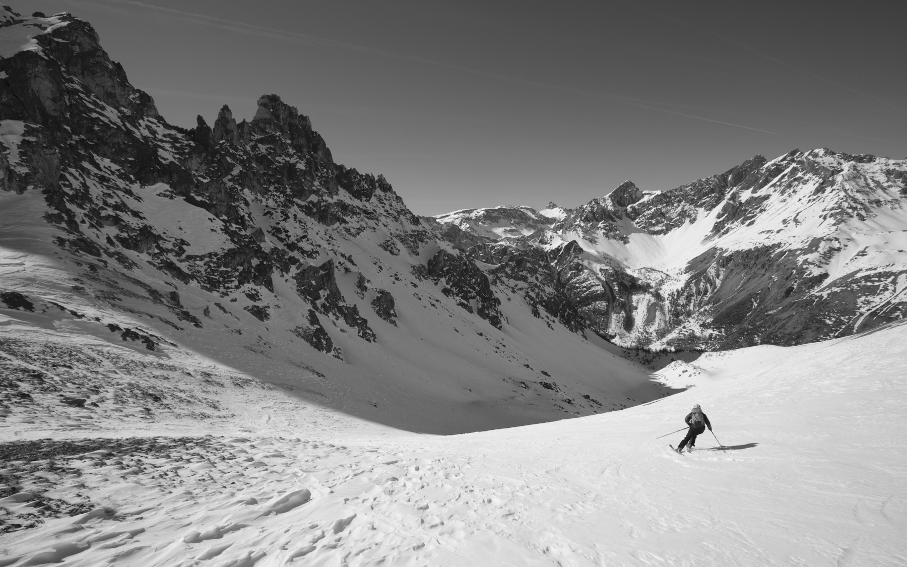
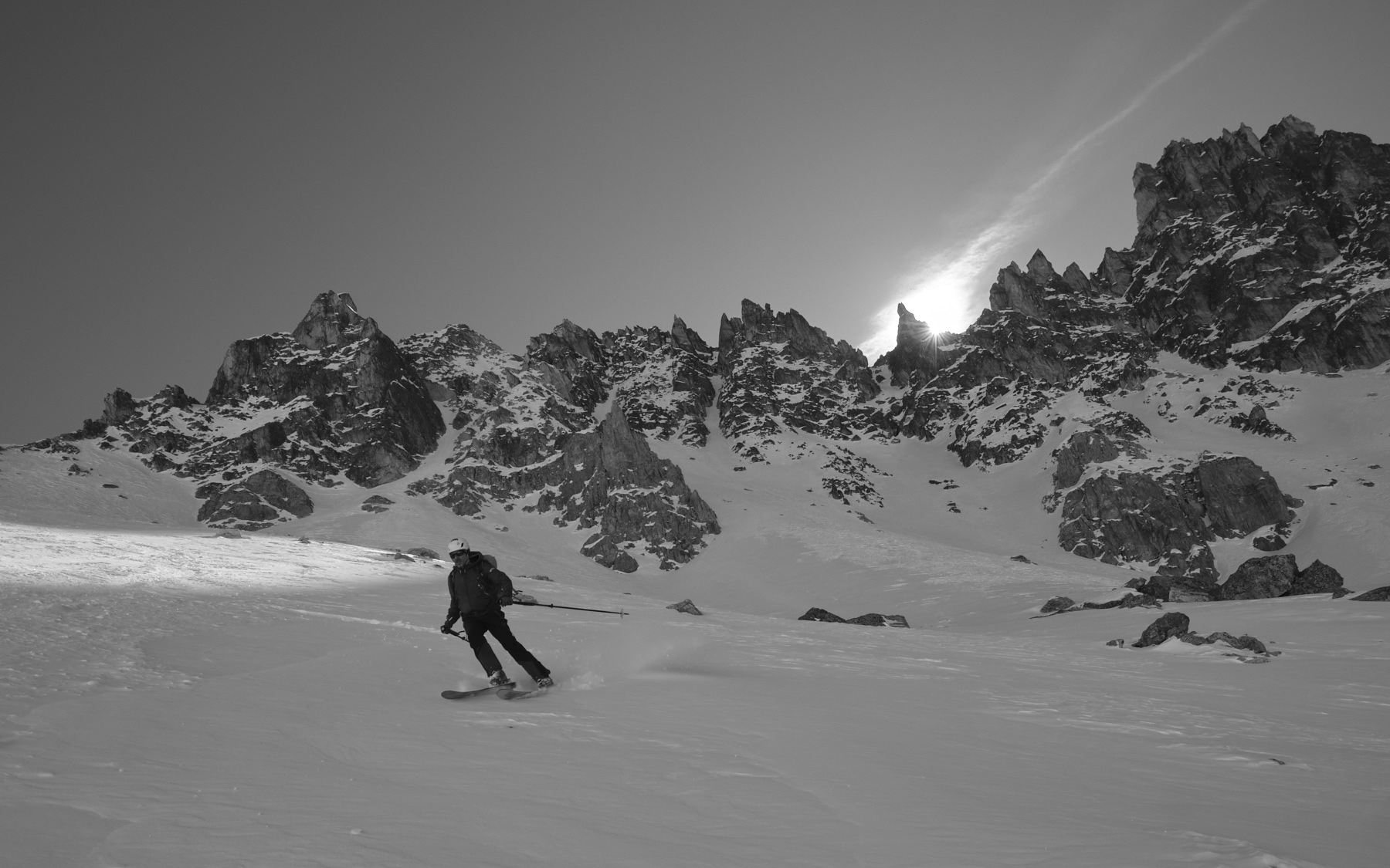
From Col Large, ski the small interior valley that passes under the Pas Nord de Chillol before plunging eastwards. Before reaching the bottom, cut under the Aiguille Pierre André and cross over to the other side to climb the Col de Miéjour, which forms a straight ridge (see photo on front page). The vallon de Teste plunges to the north-west.
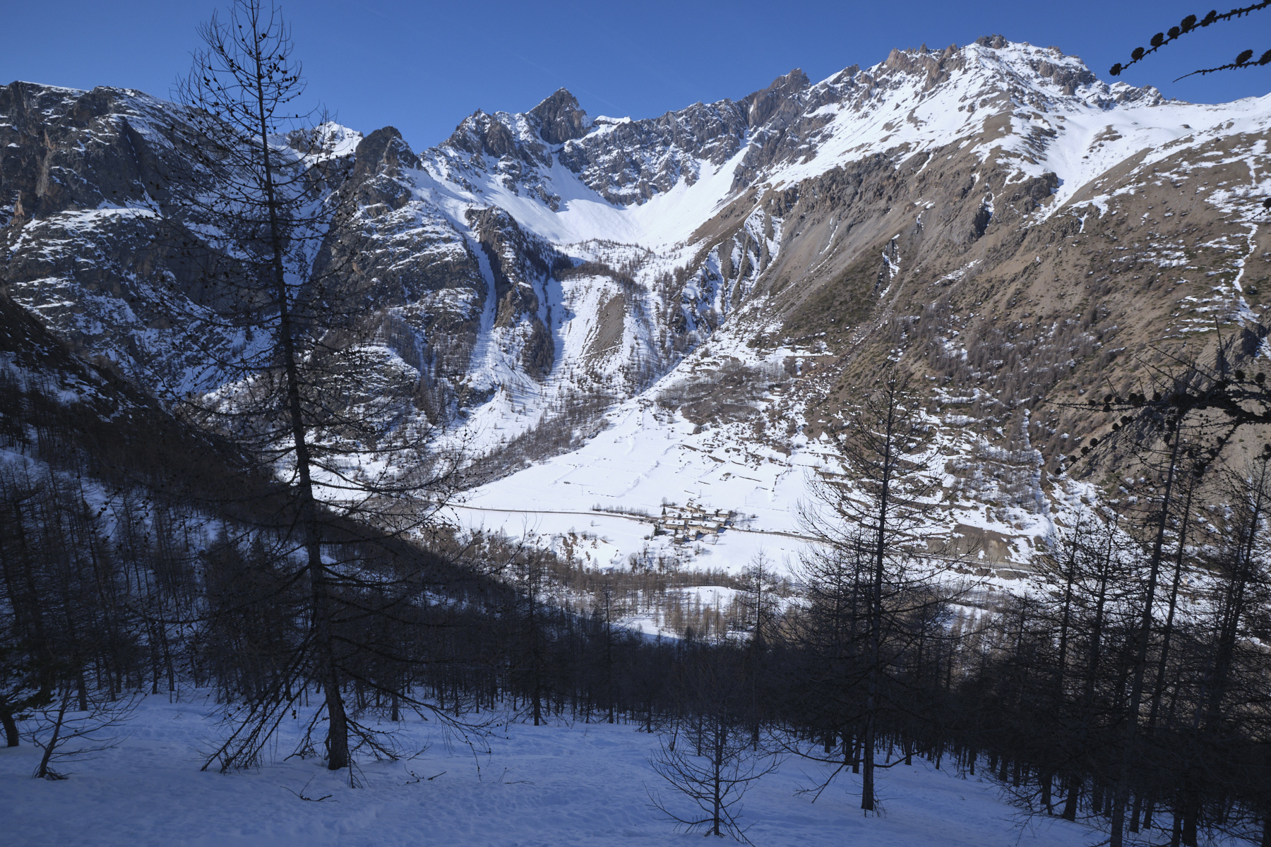
Descent through the Teste valley to La Barge
Ski down the vallon to the edge of the forest. From here, head left into the forest to avoid the bars on the right. There are 2 possible valleys, the leftmost of which seems to be the most popular. The first part of the forest is not too steep, the second much steeper (37°). Weave your way through the larch trees, aiming if possible for the hamlet of La Barge, which is clearly visible from above. Cross the Ubaye by the bridge below the hamlet and climb back up to the starting point.


 Partager sur WhatsApp
 Partager sur Twitter
Partager sur Instagram
Partager sur Twitter
Partager sur Instagram

 Partager sur Facebook
 Imprimer le topo
 Laisser un commentaire


Leave a Reply