Today's idea: access the Pic de Cimet via an original route from Orlu, different from the classic access via the Llau parking lot from Orgeix. The path, entirely marked out in fluorescent green up to the refuge, climbs steeply and steadily along the Riou Fred to reach a beautiful, long upper jasse stretching between the Pics des Estagnols and Péréjat to the west and the Sarrat de l'Escayrie to the east. Halfway up the jasse, a steep couloir, half-gispet, half-pierrier, leads to the northern crest of Pic de Cimet. The threat of thunderstorms prevented us from attempting the summit, which seemed feasible in alpine mode. A return to the site is therefore essential!
❱❱ Technical summary
■ Departure point: parking de la Forge, Orlu, Ariège (09)
■ Type of route: alpine hike, out-and-back to the Pic de Cimet north ridge
■ Distance: 10 km
■ Cumulative elevation gain: +1350 m
■ Cumulative negative altitude gain: -1350 m
■ Estimated total time: 6h to 7h ■ Min and max altitude: 920 m / 2250 m
■ Markings: GRP up to the penstock, fluorescent green dots afterwards, cairné in the jasse and off-trail in the final couloir
■ Equipment in place: none
■ Equipment required: none
Difficulties: steep slopes, scree, scree, sections to be climbed with the aid of hands in final couloir (II/III).
❱❱ Access to the place
From Ax-les-Thermes, head for Mérens and Andorra. Just outside the town, turn left towards Orgeix and Orlu. Drive past Orlu and follow the road a little further to park on the right at the Forges d'Orlu parking lot (soon to be paid for!).
❱❱ Map & topo
The route above the second junction to the refuge and beyond to the Pic de Cimet is approximate.
1st part: from the parking lot to the Riou Fred valley hut (1792m, 2h)
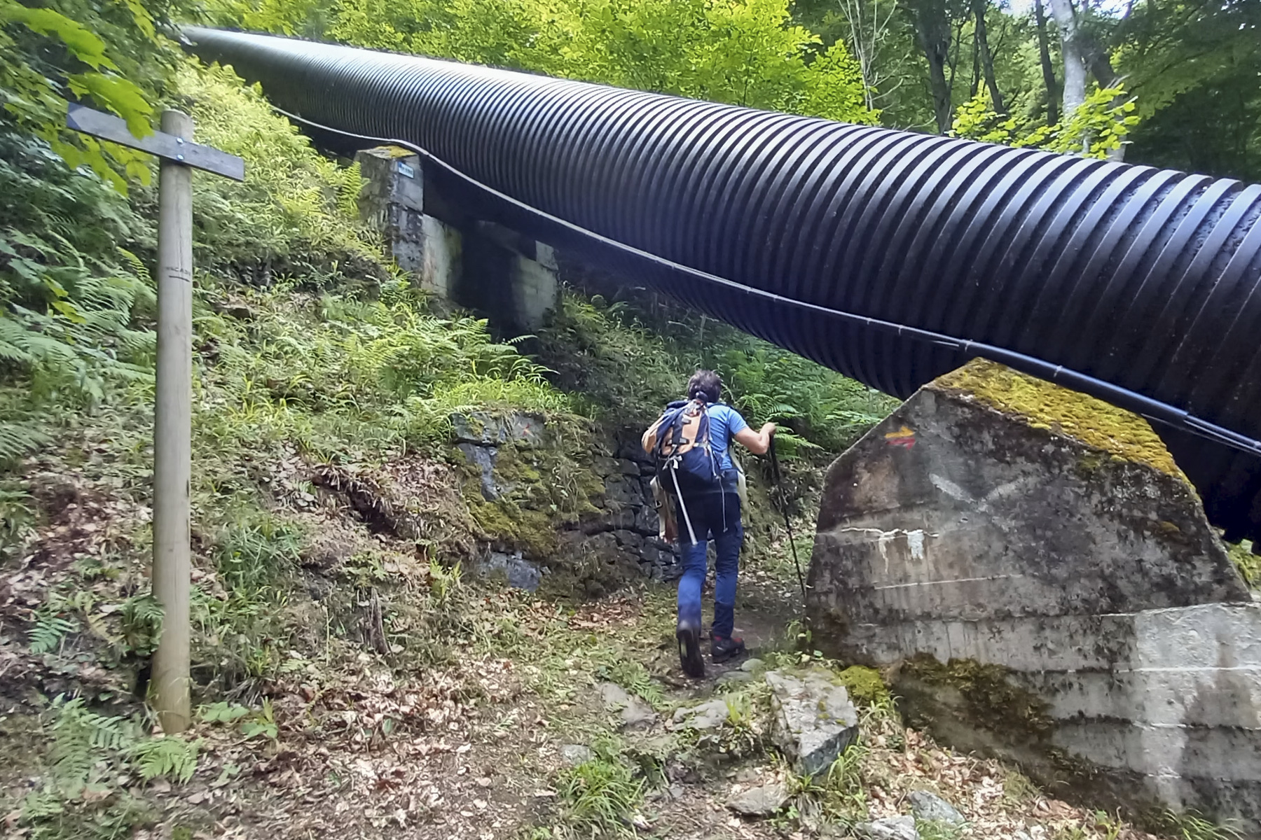
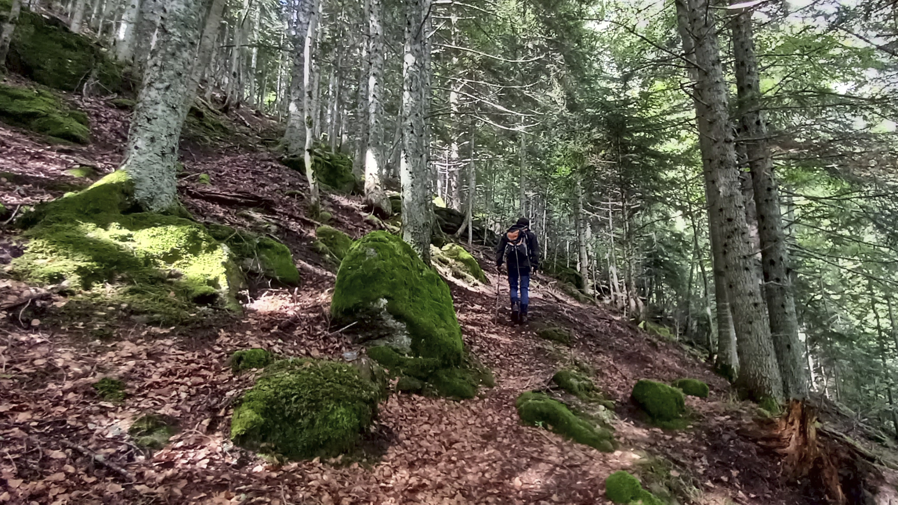
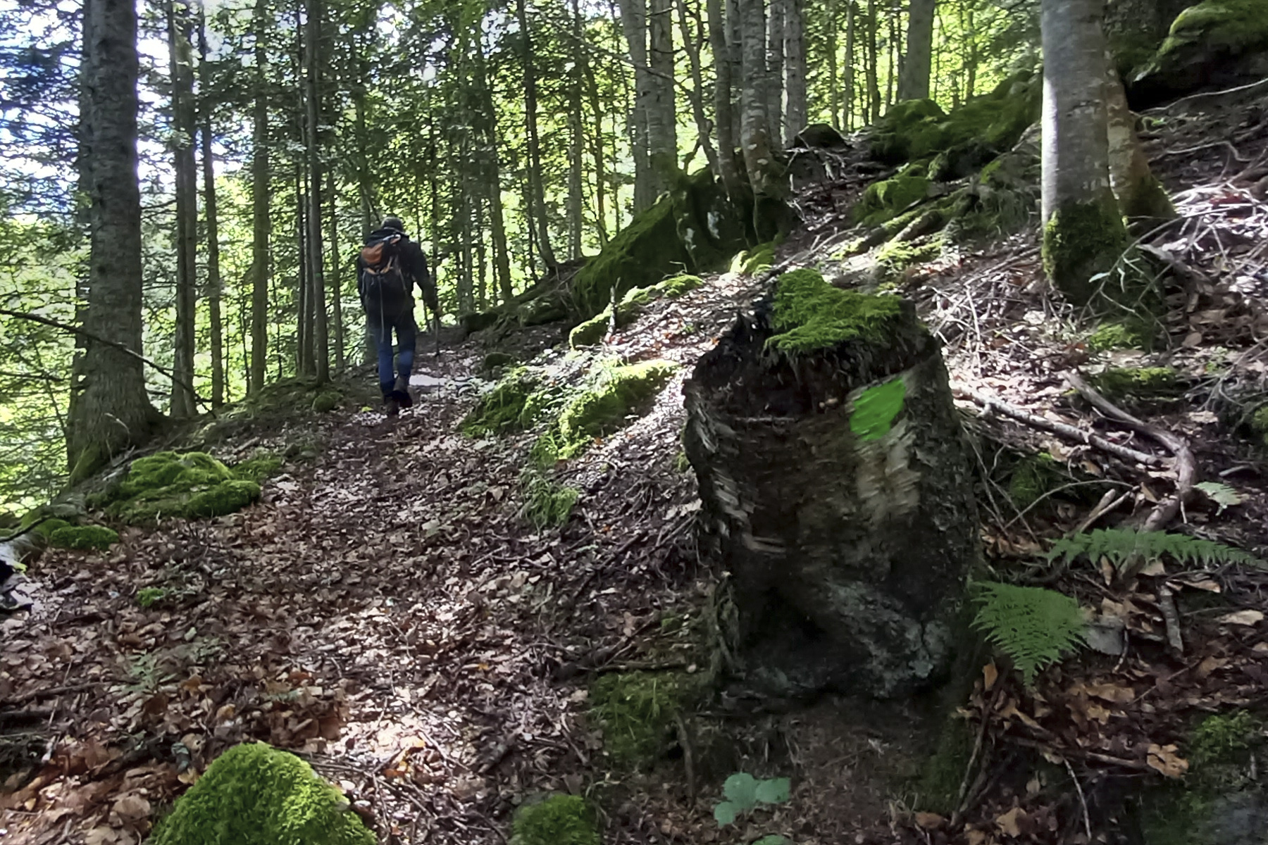
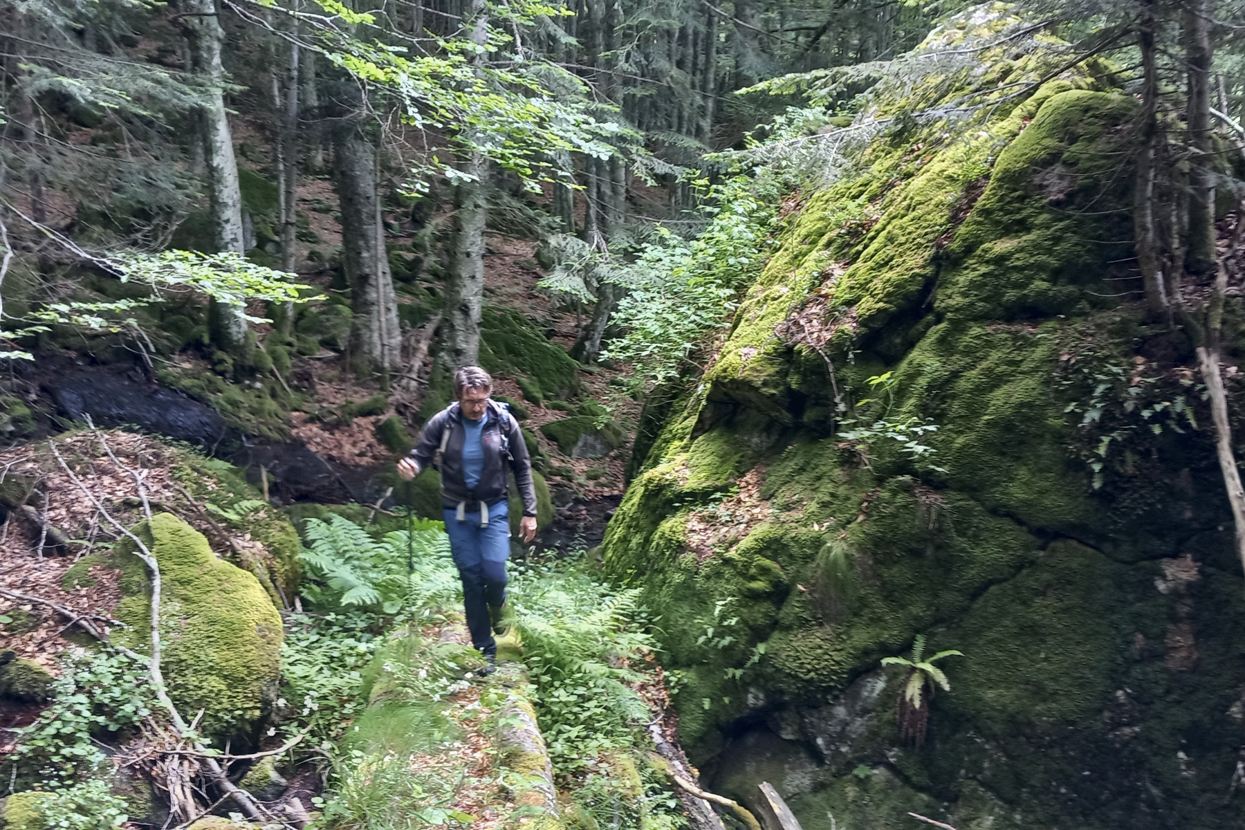
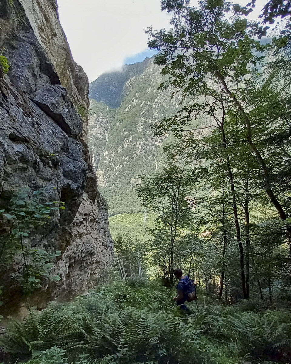
Leave the parking lot across the Oriège river and follow the track for a few dozen metres, then turn left onto the path. You'll soon come to the penstock, where you have to leave the GRP and go under it. The path then fords the Riou Fred stream and begins its ascent through the forest. The green fluorescent markings will then guide us. Higher up, we pass a superb equipped climbing cliff, the Riou Fred cliffs, with impressive routes on 7 and 8.
The rest of the ascent to the refuge is very steady. The route is easy to follow, as the path is clearly visible despite the layer of fallen leaves, and the green dots are regular. Only one section deserves more attention: after the small wooden bridge, at the second junction where the path joins the penstock. At this point, you have to go up to the right, skirting the penstock from a distance, to find green dots and arrows.
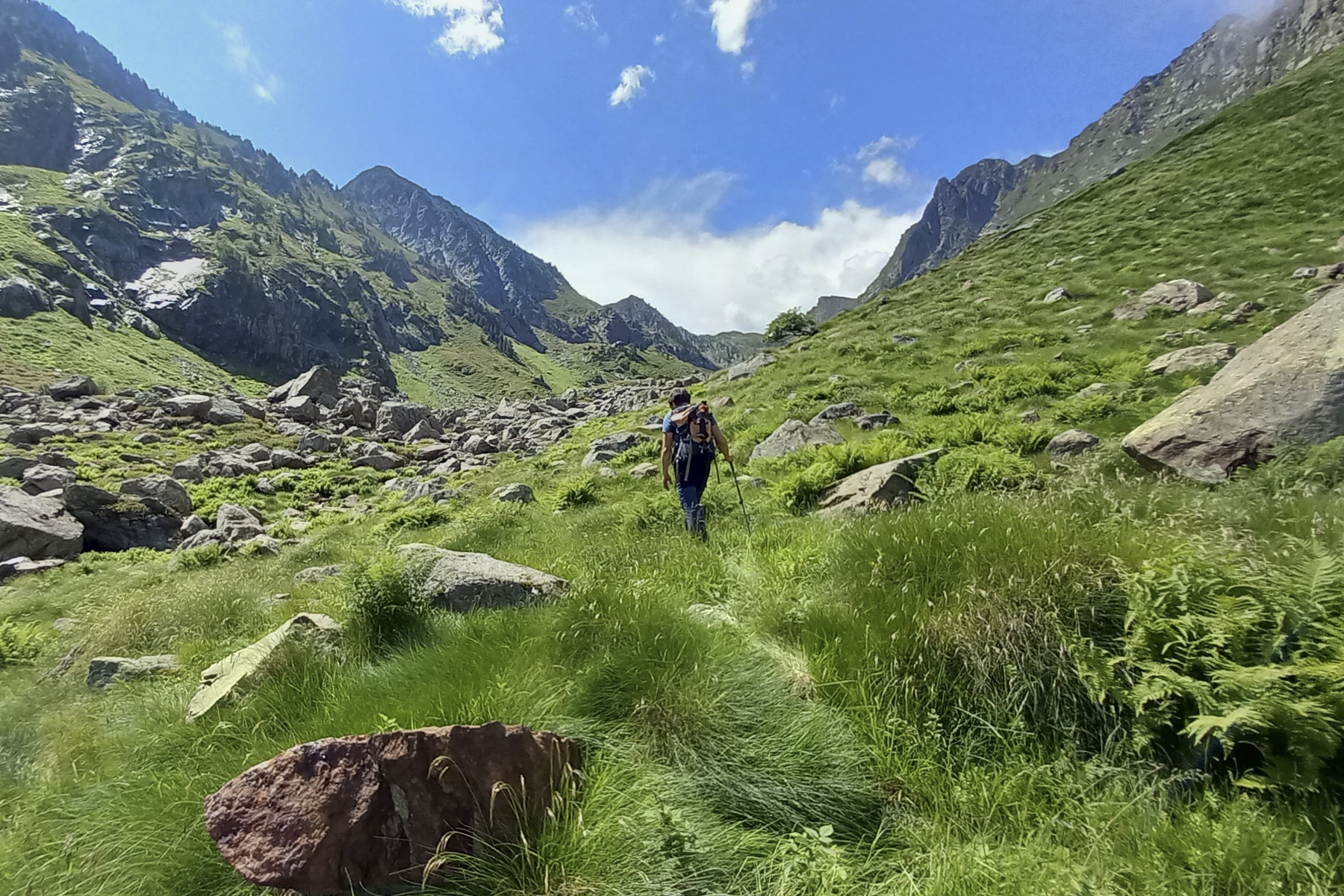
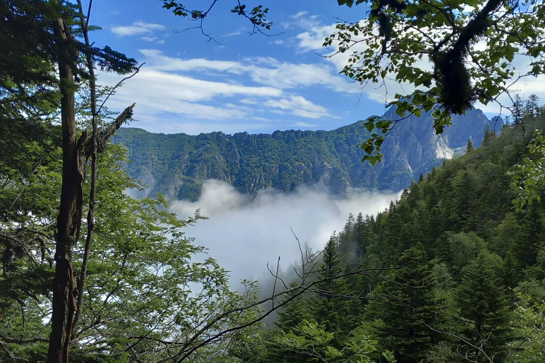
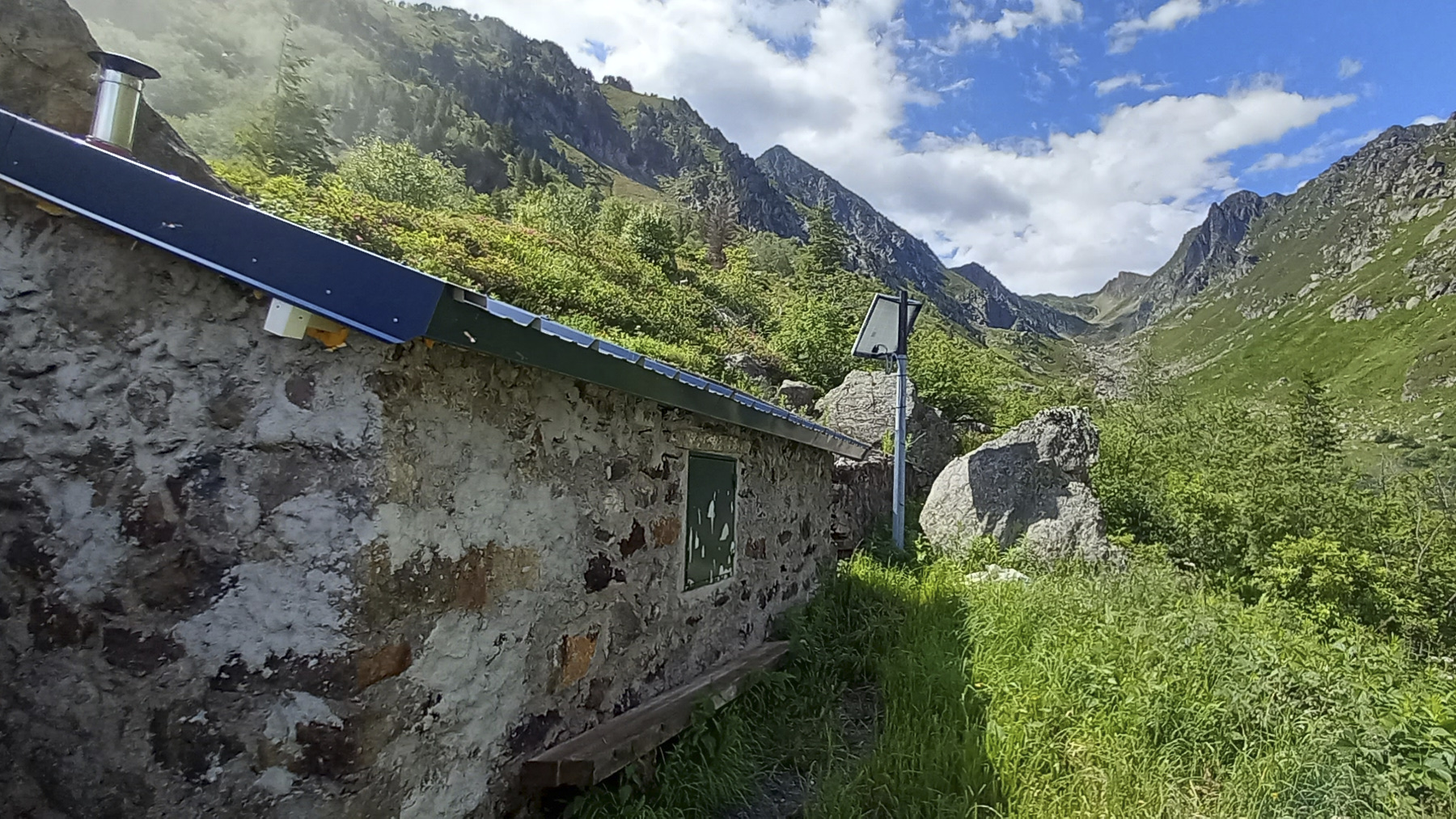
At the top, the path becomes less steep and you gradually discover the northeast walls of the Pic de Péréjat. At the entrance to the jasse, which stretches all the way to the Col d'En Sur, you'll find the Vallon du Riou fred hut at almost 1800m altitude.
2nd part: from the hut to the North ridge (2250m, 1h30 to 2h)
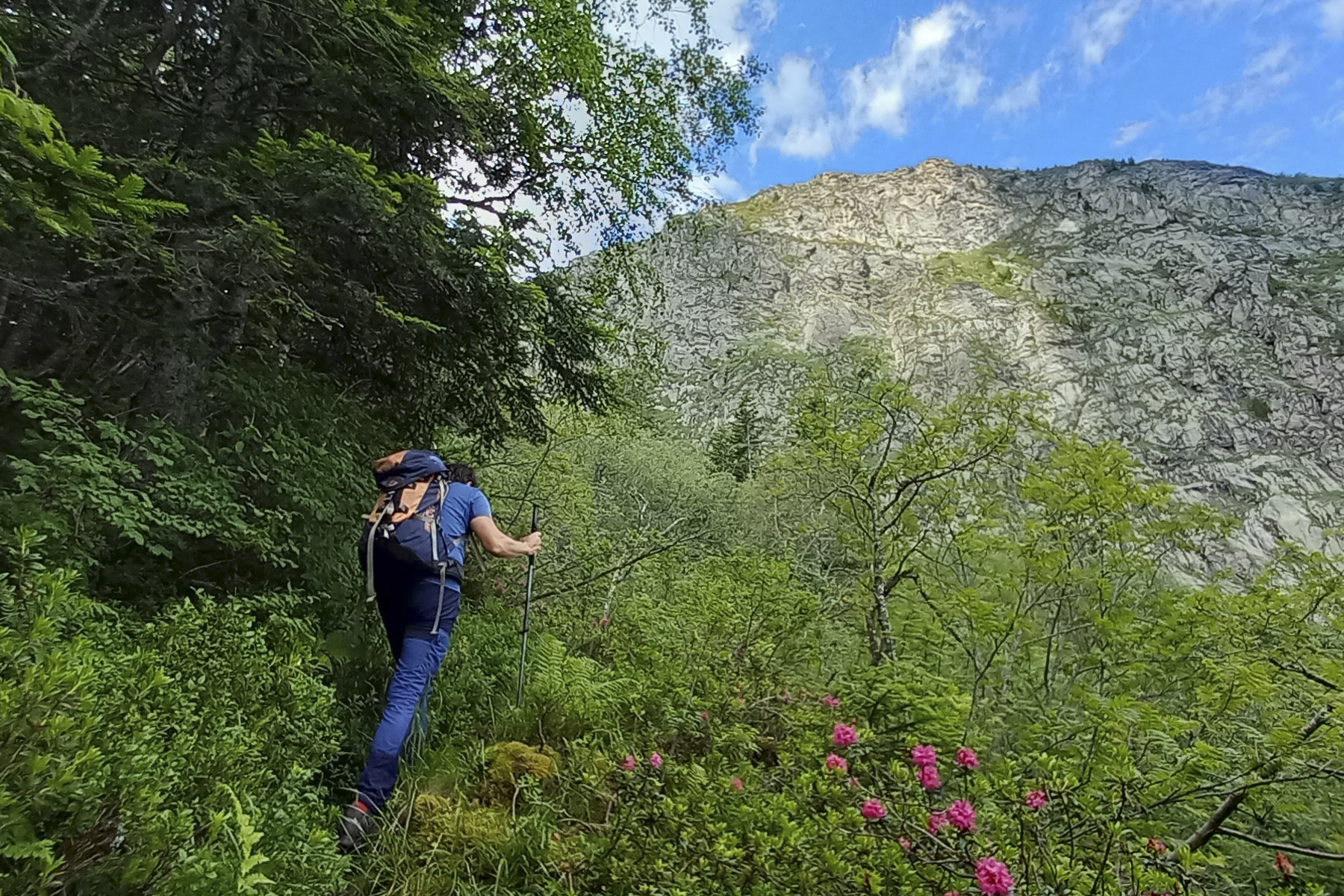
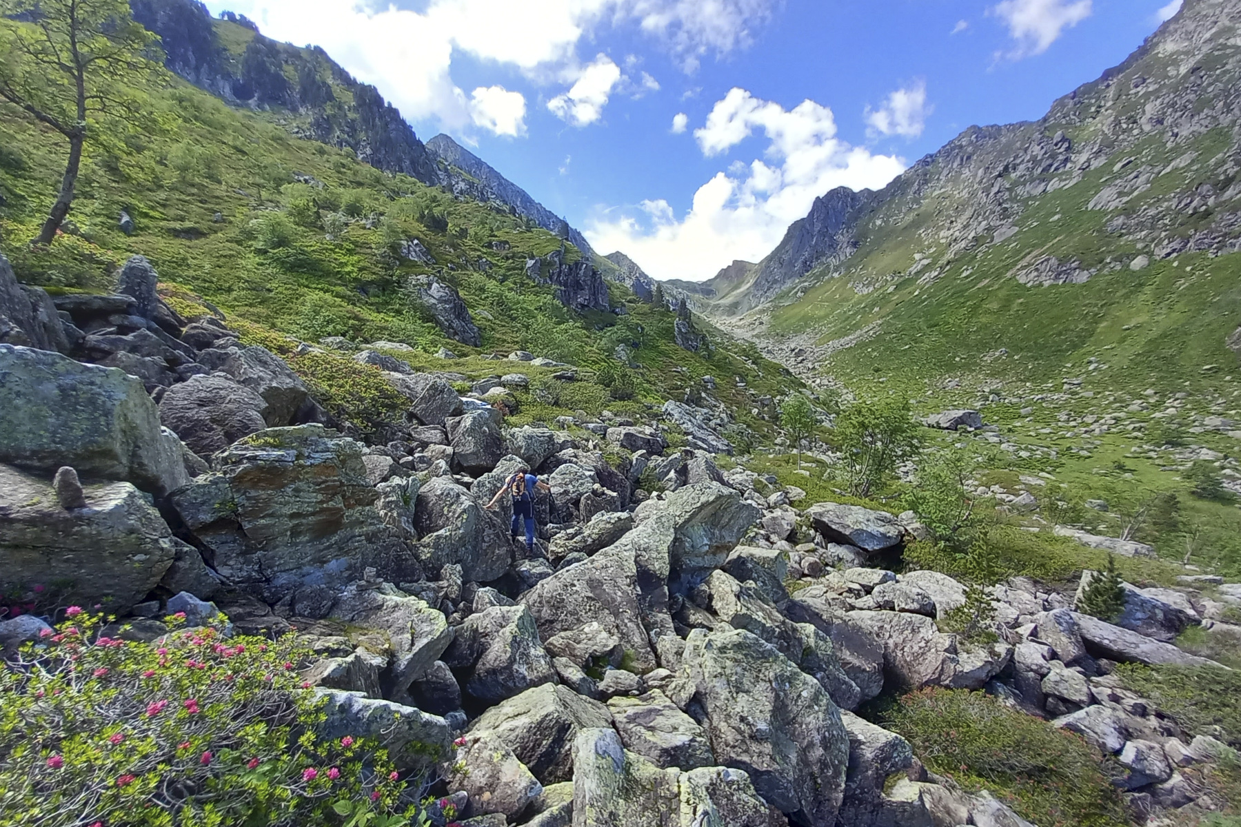
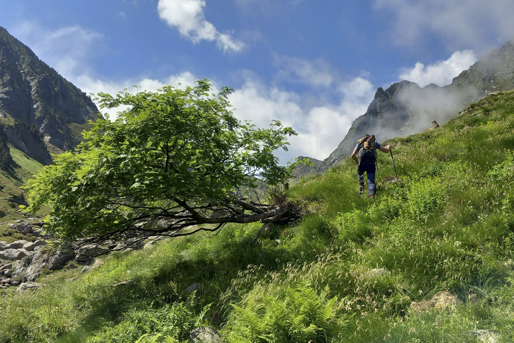
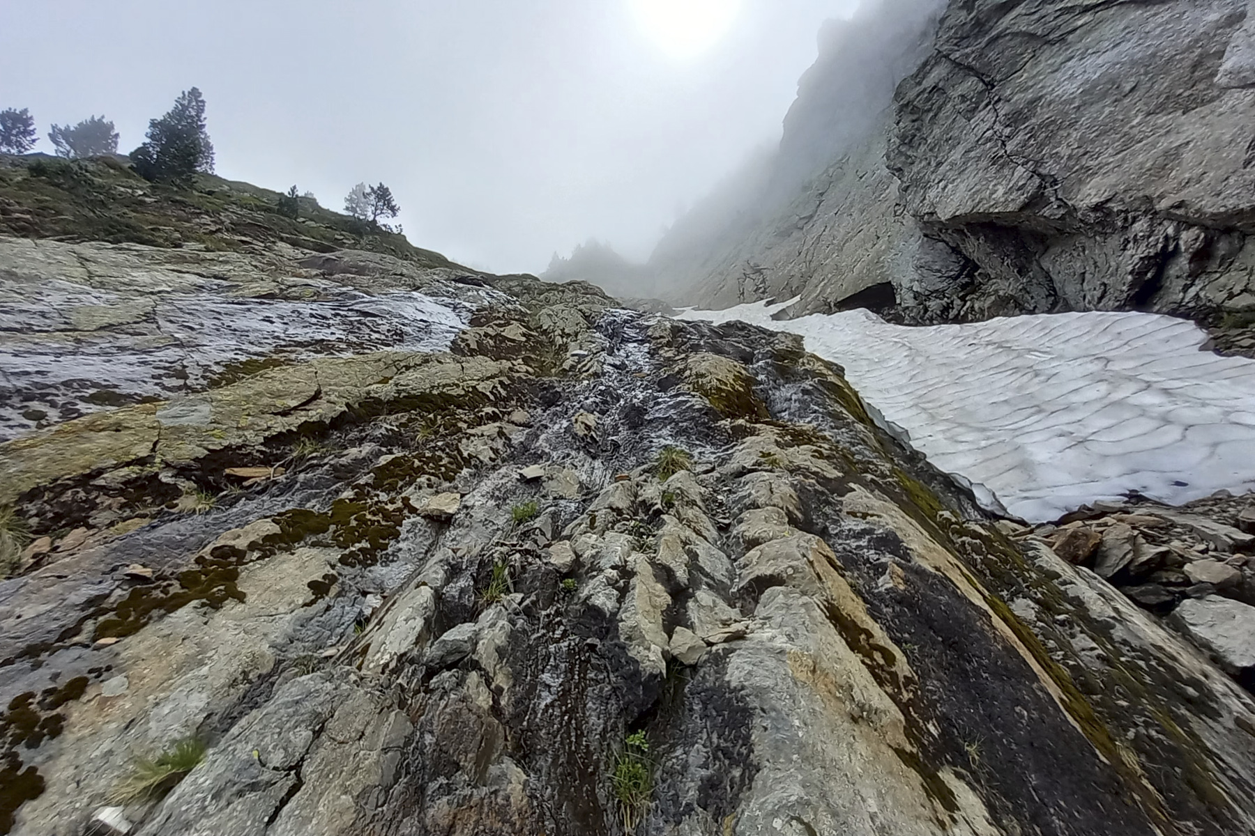
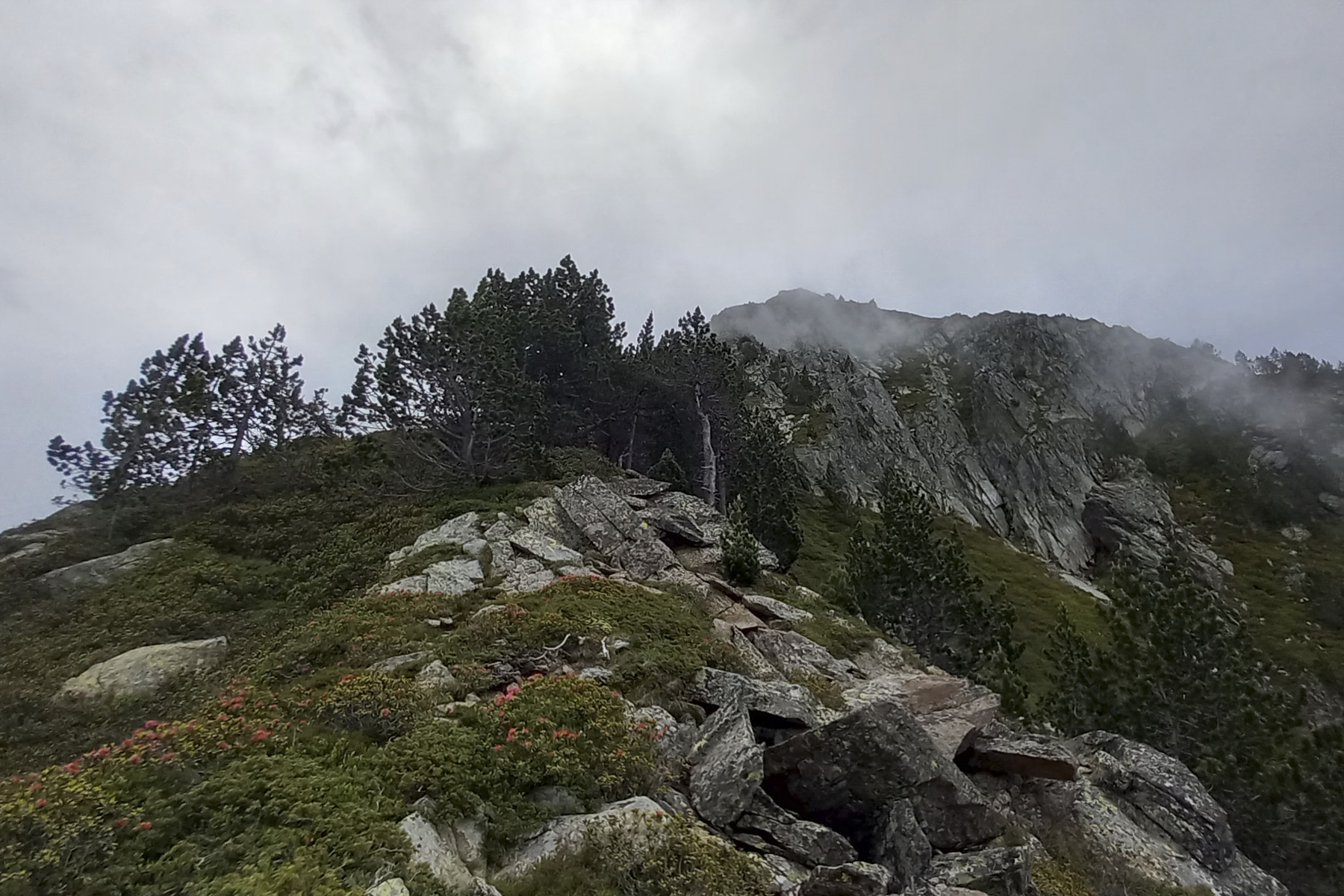
The route is less obvious from here on. The aim is to cross the jasse due south to the northern base of the Cimet. Exit the hut from above and follow a faint mini trail that joins a chaos of boulders to be crossed as you gradually descend, following the cairns that point the way. Finally, cross the Riou Fred to continue on the left bank. You'll find bits of path, but they're not always obvious. Aim for a huge rocky mound, pass it and then aim for a completely flattened shrub (see photo). At this shrub, move forward to reach the bed of the Riou Fred, then cross it again to the right bank. Continue across the jasse, following an increasingly marked and visible path until you reach a point where it rises again. You're now at the base of the north face of Le Cimet. On the left, you can clearly see the couloir that leads to the north ridge not far from the summit.
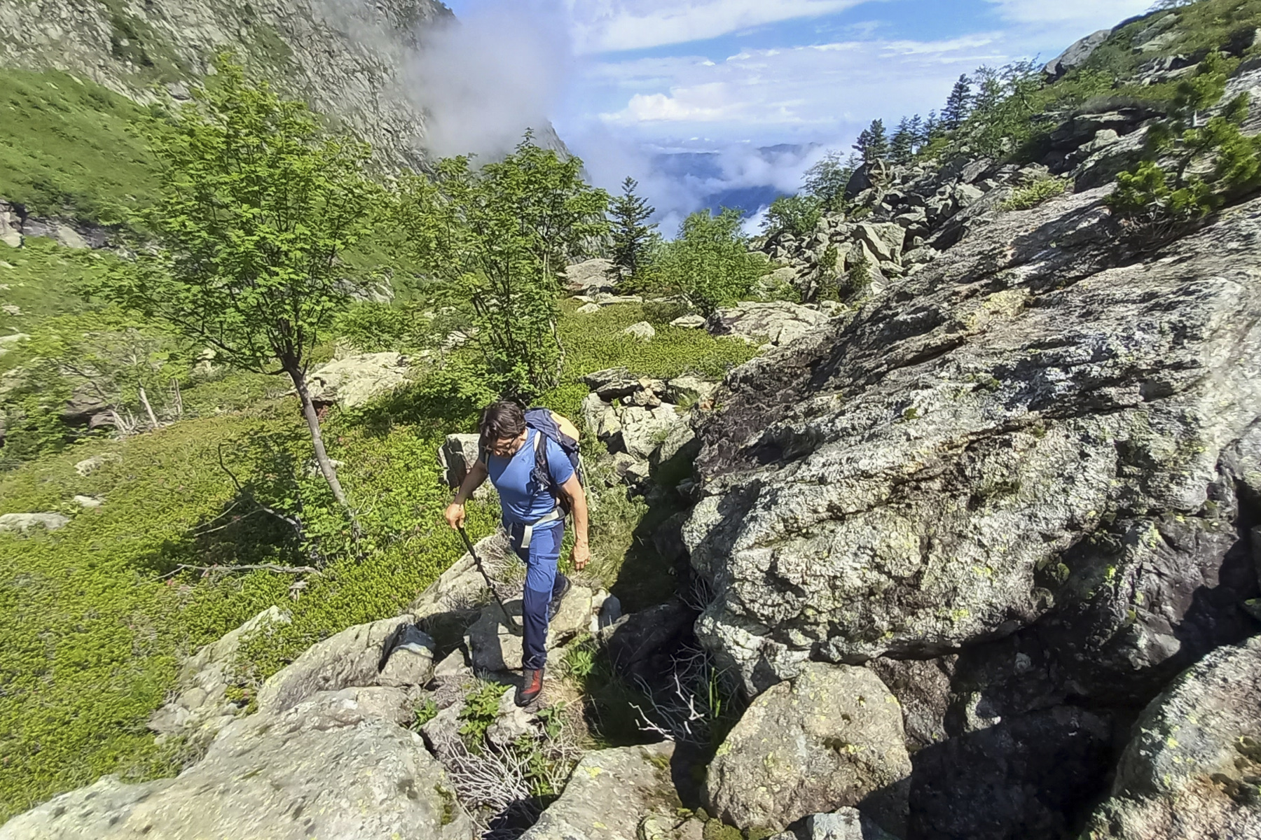
Turn off and start up the couloir on a vague path. The slope becomes progressively steeper, on crumbling or slippery ground. The final section requires you to put your hands down to climb rocky ribs and finish on the ridge. We're close to the summit, but there's probably one more section to climb to get there. Turning back before the rain and storm.
Part 3: back to the parking lot (2h30 to 3h)
Carefully descend the couloir, which is less obvious than on the way up, and take the path that crosses the jasse to the north until you reach the hut after the boulder chaos. Then descend the 900m ascent in the forest on the same path to the parking lot.


 Partager sur WhatsApp
 Partager sur Twitter
Partager sur Instagram
Partager sur Twitter
Partager sur Instagram

 Partager sur Facebook
 Imprimer le topo
 Laisser un commentaire


Leave a Reply