


TOPO Hiking | CLIMBING7.COM
Publié le
 Partager sur WhatsApp
 Partager sur Twitter
Partager sur Instagram
Partager sur Twitter
Partager sur Instagram

 Partager sur Facebook
 Imprimer le topo
 Laisser un commentaire
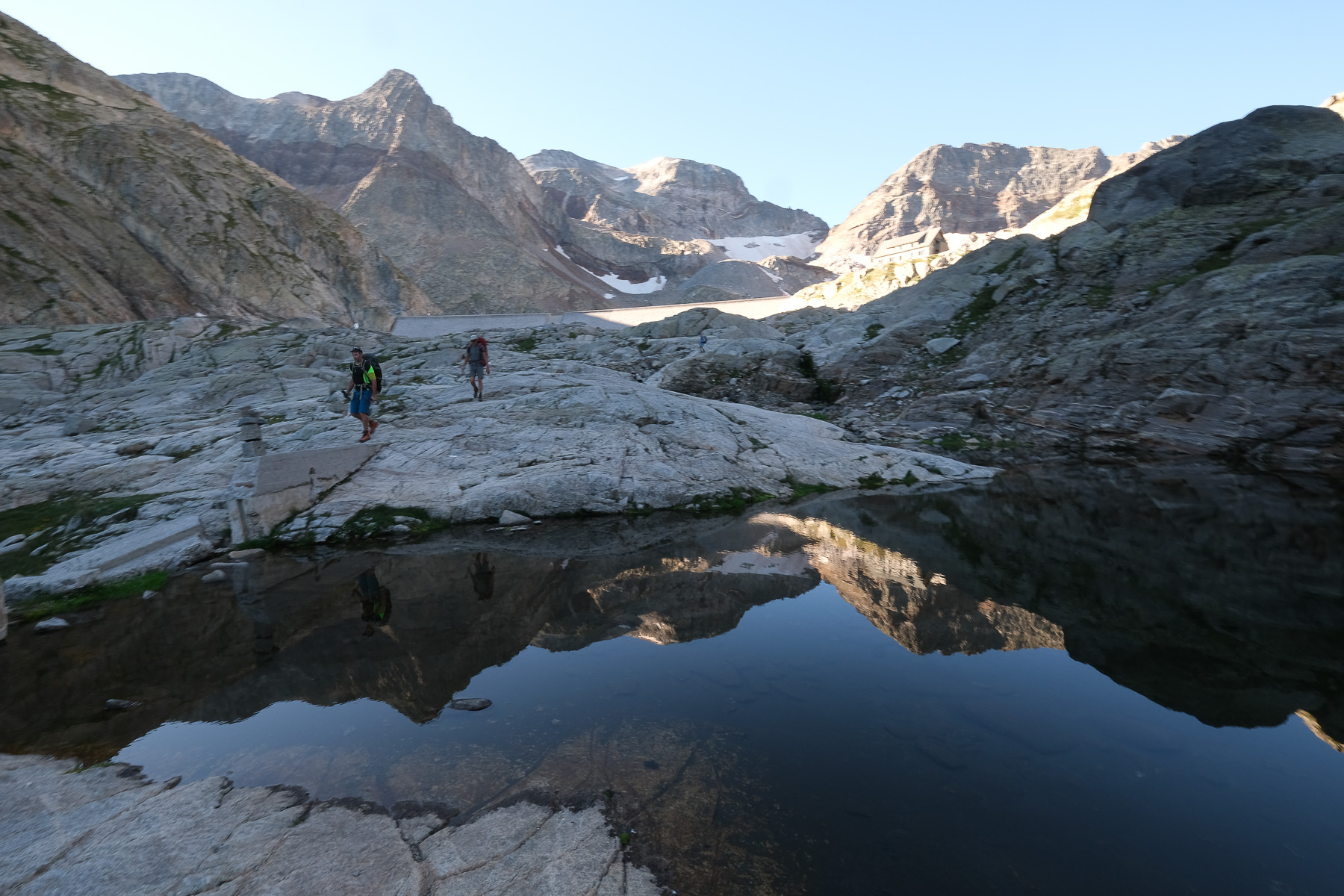
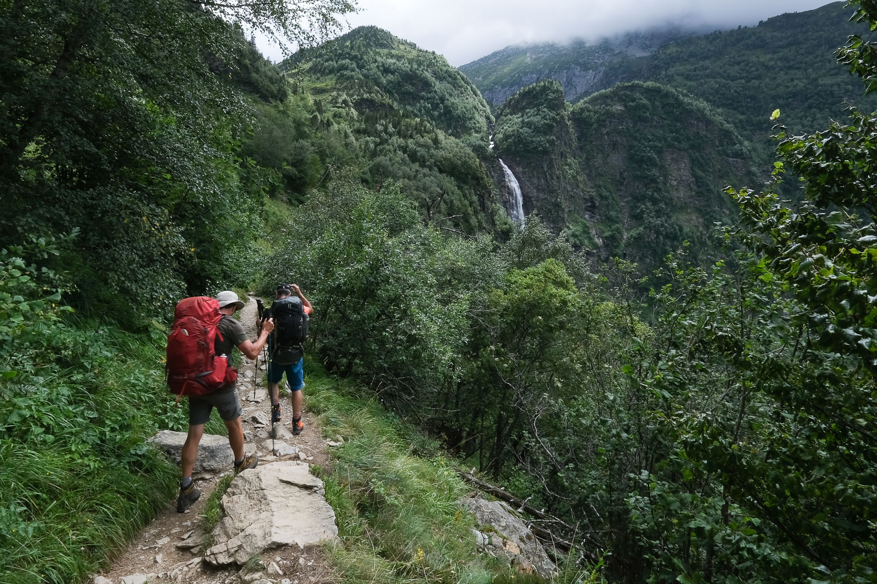
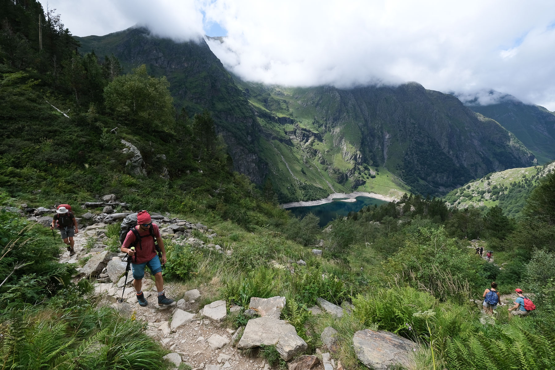
This route to the Lac du Portillon at over 2,500m is both an itinerary in itself and a stepping stone to a series of hikes on and around the surrounding 3,000m peaks: Pic Perdiguère (3,222m), Pic Royo (3,121m), Pic des Crabioules (3,116m), Pic des Gourgs Blancs (3,129m) and Pic des Spijéoles (3,065m), to name but a few. With its splendid high-mountain scenery, exceptionally colorful high-altitude ponds and large, orange-colored sculpted walls, this is a permanent spectacle. On the other hand, crowds are high, especially in summer, although as the climb progresses, the numbers diminish, eventually gathering at the Portillon hut.
❱❱ Technical summary
Type ✦ Hiking
Location ✦ Neste d'Oô valley
Region ✦ Haute-Garonne
Country ✦ France
Max altitude ✦ 2670m
Distance ✦ 21.5km
Vertical drop ✦ 1450m
Difficulty ✦ E3 / T3 / R2
Duration ✦ 7h to 8h (round trip)
Interest ✦ ★★
❱❱ Access to the place
To Les Granges d'Astau, in the extreme south of the Haute-Garonne department. From Bagnère-de-Luchon, take the D618 towards Peyragudes and the Col de Peyresourde. Just after Cazeaux-de-Larboust, turn left towards the village of Oô. Cross the village and continue along the right bank of the Neste (left, uphill) to the huge Granges d'Astau parking lot.
❱❱ Map & topo
❱❱ Itinéraire
Leave the parking lot to the south, cross the Médassoles stream to find the track leading up to Lac d'Oô, the starting point for the ascent.
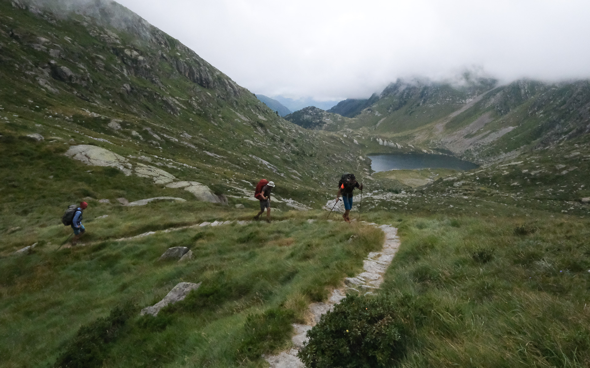
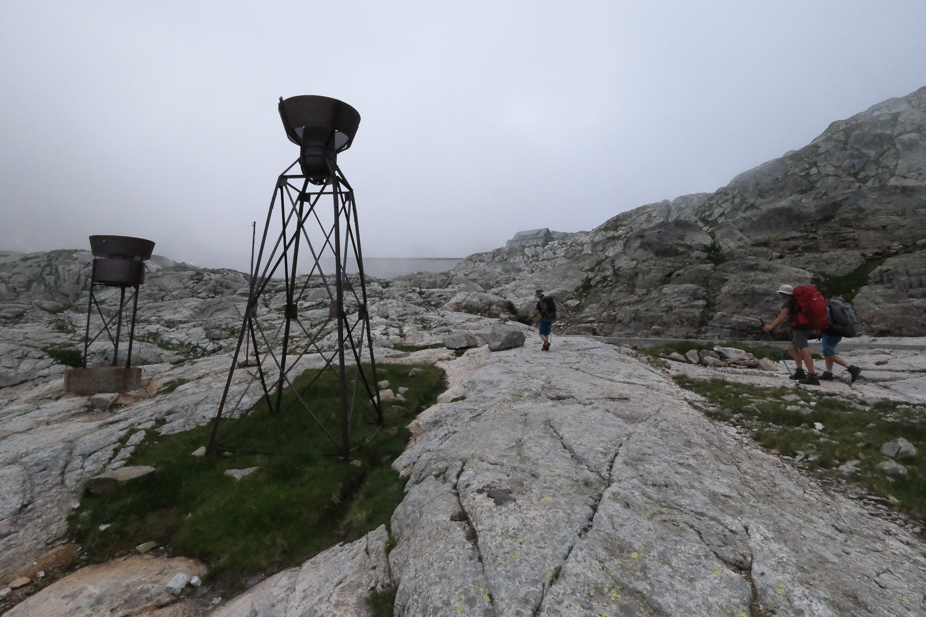
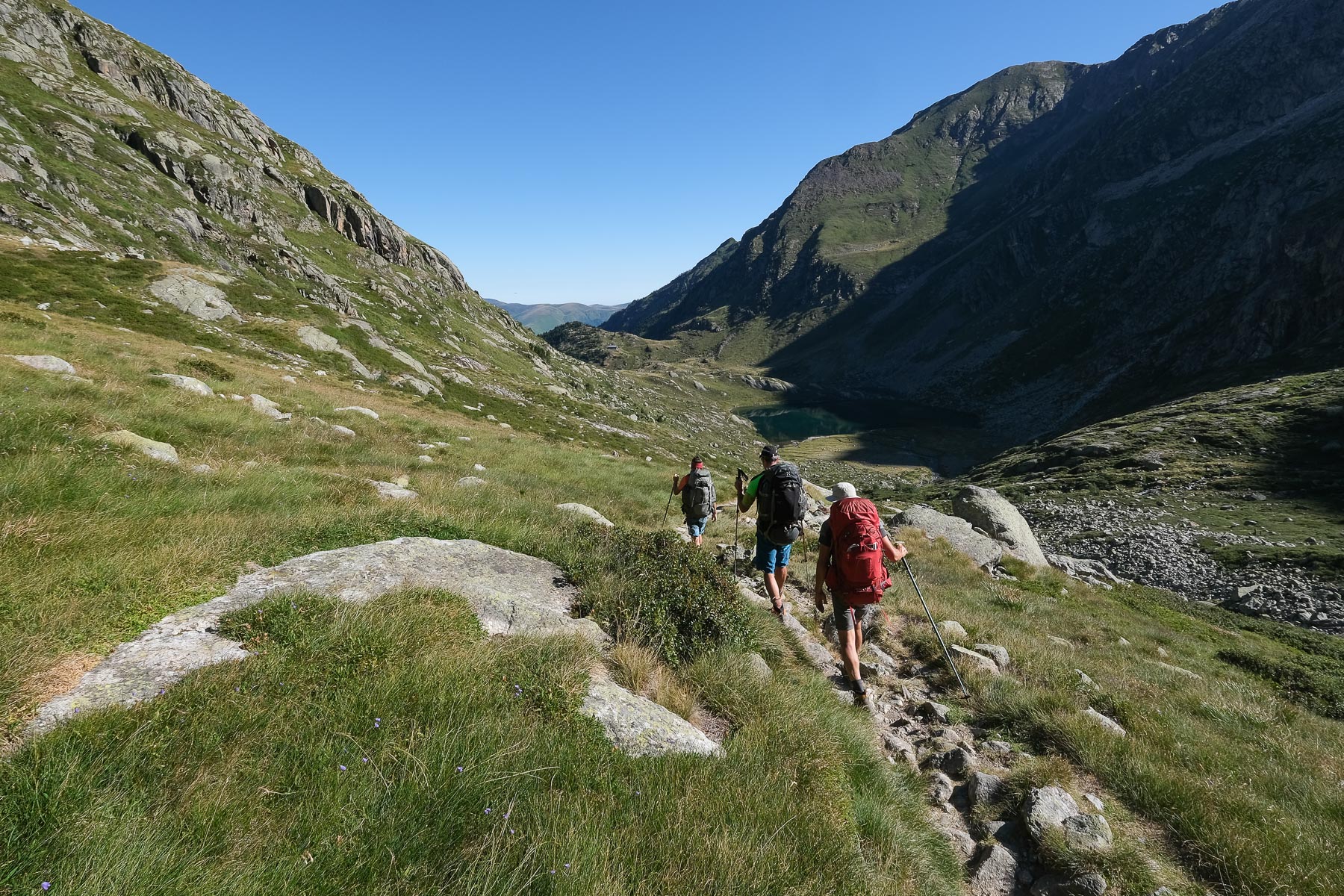
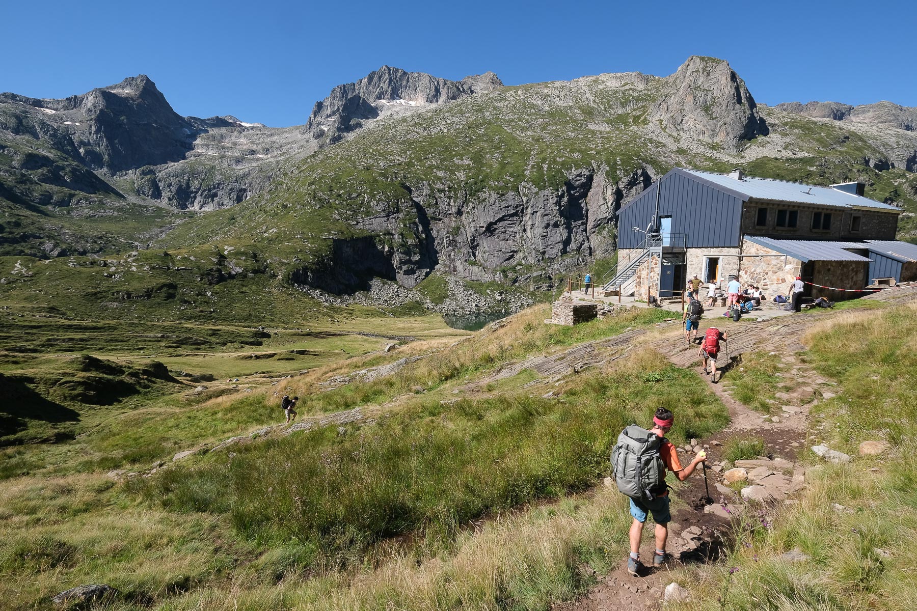
This is a round trip from the Granges d'Astau to the Portillon refuge. A long ascent in successive stages: Lac d'Oô then Col d'Espingo and Lac Saussat, Coume de l'Abesque before reaching the upper part of the Neste d'Oô valley and Lac du Portillon at 2500m. No technical difficulties, but a significant altitude difference to swallow, especially if you're a bit heavy for a few days at altitude. While the first part of the hike is on the GR10 route, the paths afterwards are very well marked, with numerous cairns along the way to Lac du Portillon.
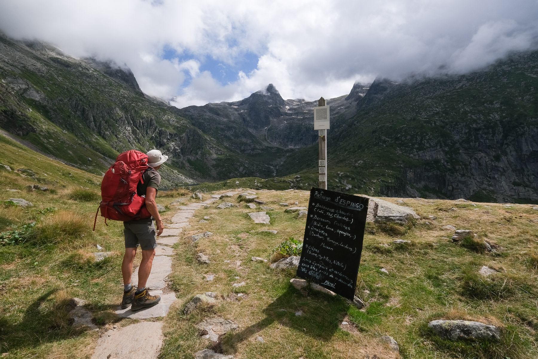
Bivouacs can be set up just about anywhere around the refuges, including on the shores of Lac du Portillon, where you can leave your tent for the day and explore the surrounding area. The managers of the Portillon refuge are very welcoming, and there's an off-bag room for lunch or dinner.
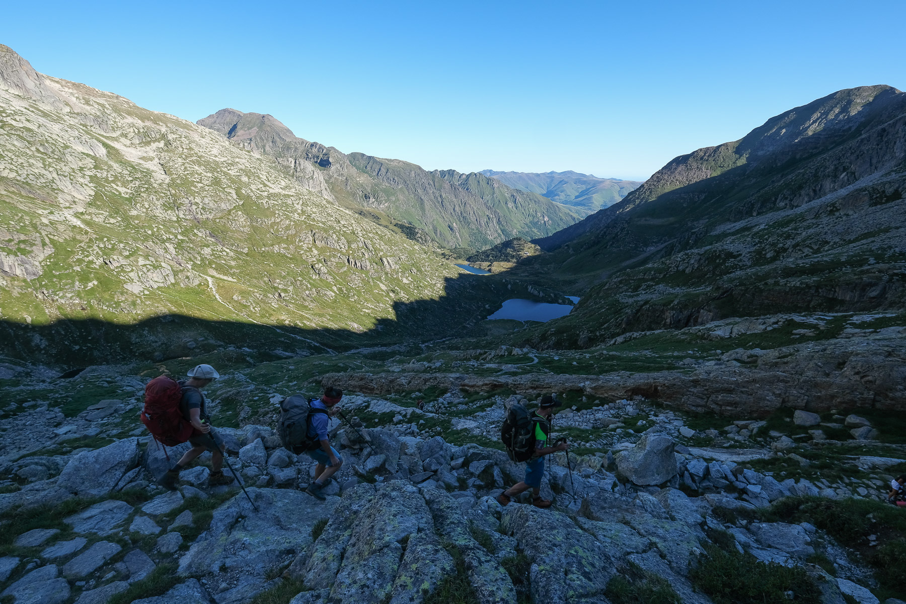
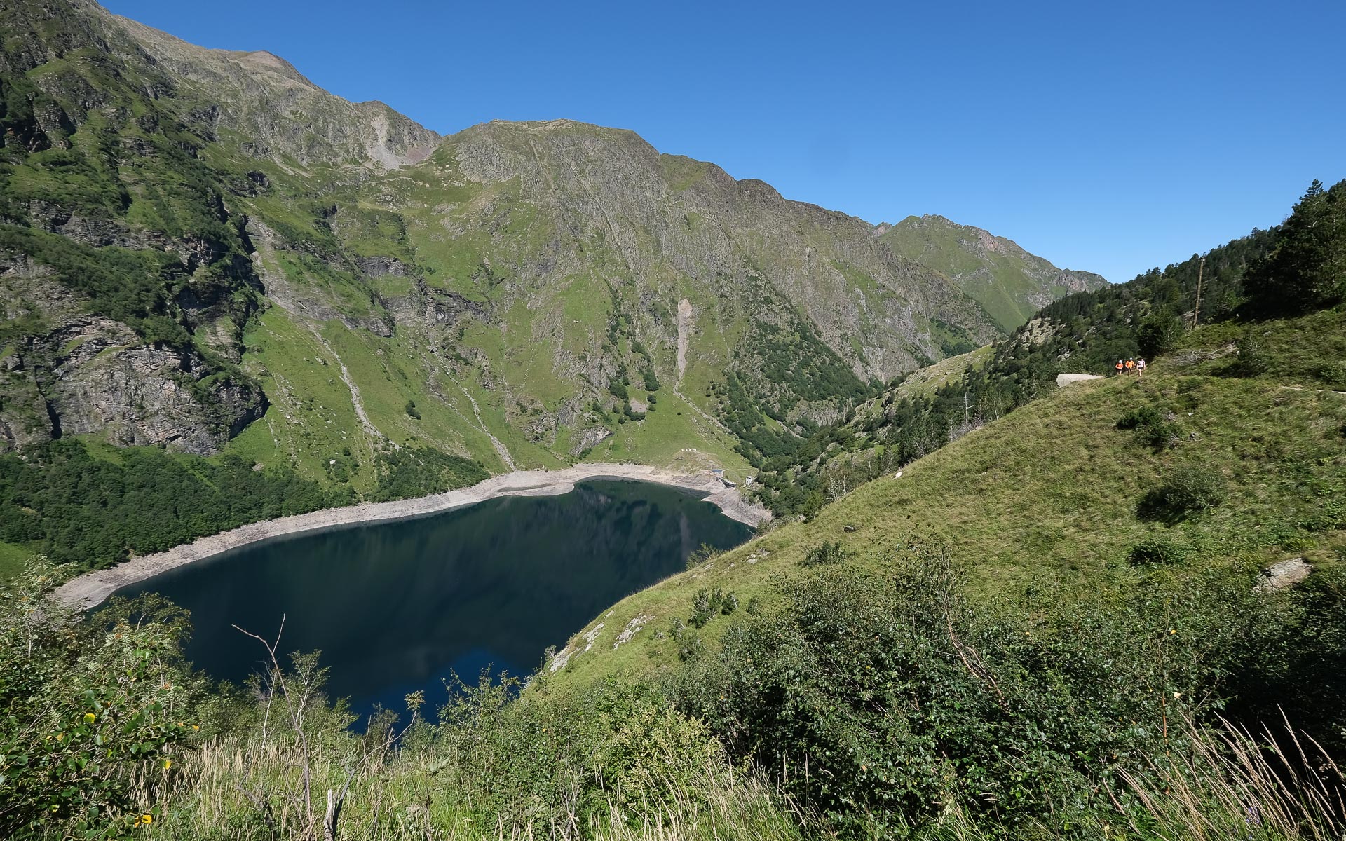
Return to Granges d'Astau via the ascent trail. Nearly 1500m of negative altitude difference to negotiate, with several steep slopes on rocky paths. Fortunately, we can take a coffee break at the Espingo refuge to cut the journey in half.
Topo of the hike on rando-marche.fr
Information on the Portillon refuge


Leave a Reply