


TOPO Snowshoeing | CLIMBING7.COM
Publié le
 Partager sur WhatsApp
 Partager sur Twitter
Partager sur Instagram
Partager sur Twitter
Partager sur Instagram

 Partager sur Facebook
 Imprimer le topo
 Laisser un commentaire
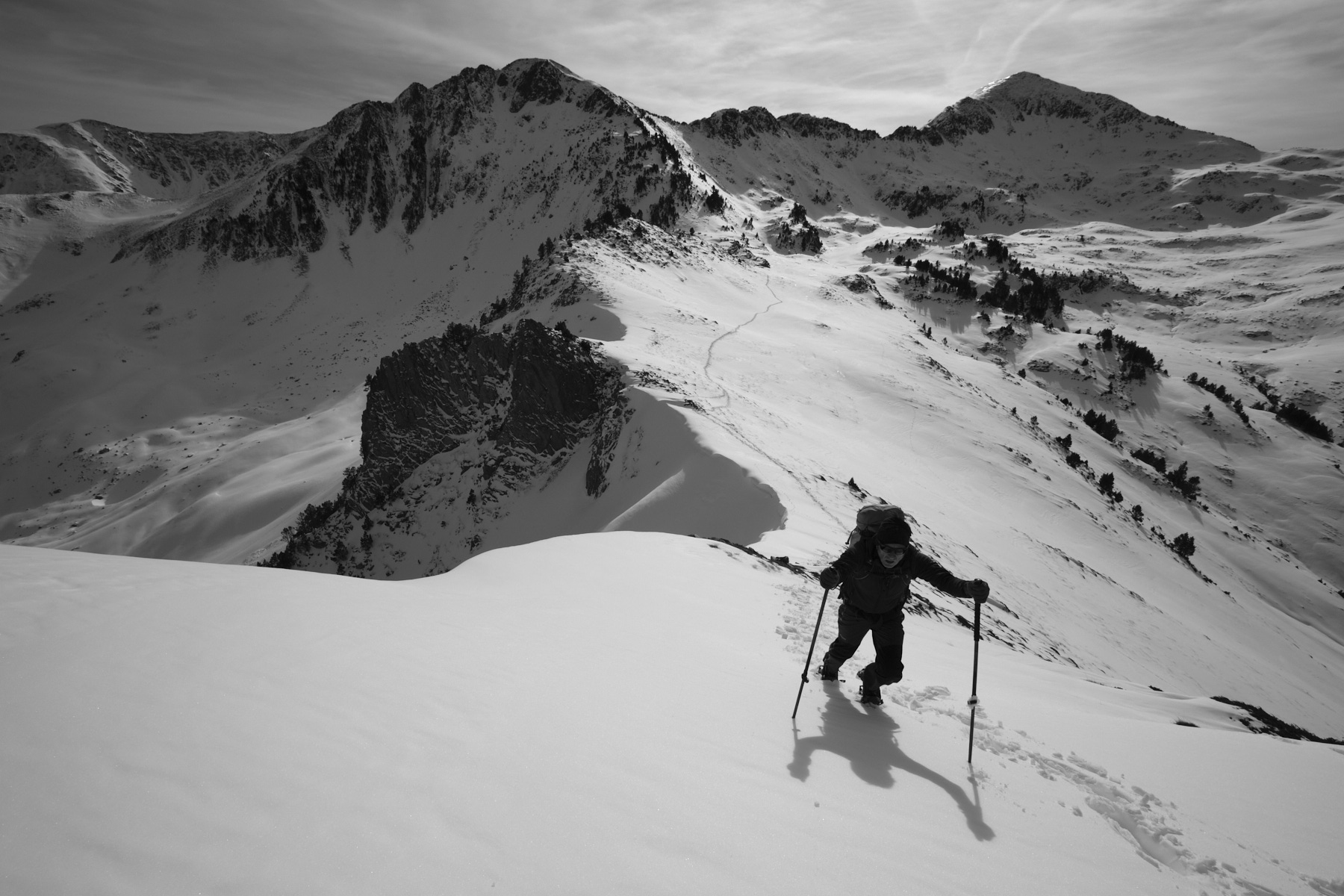
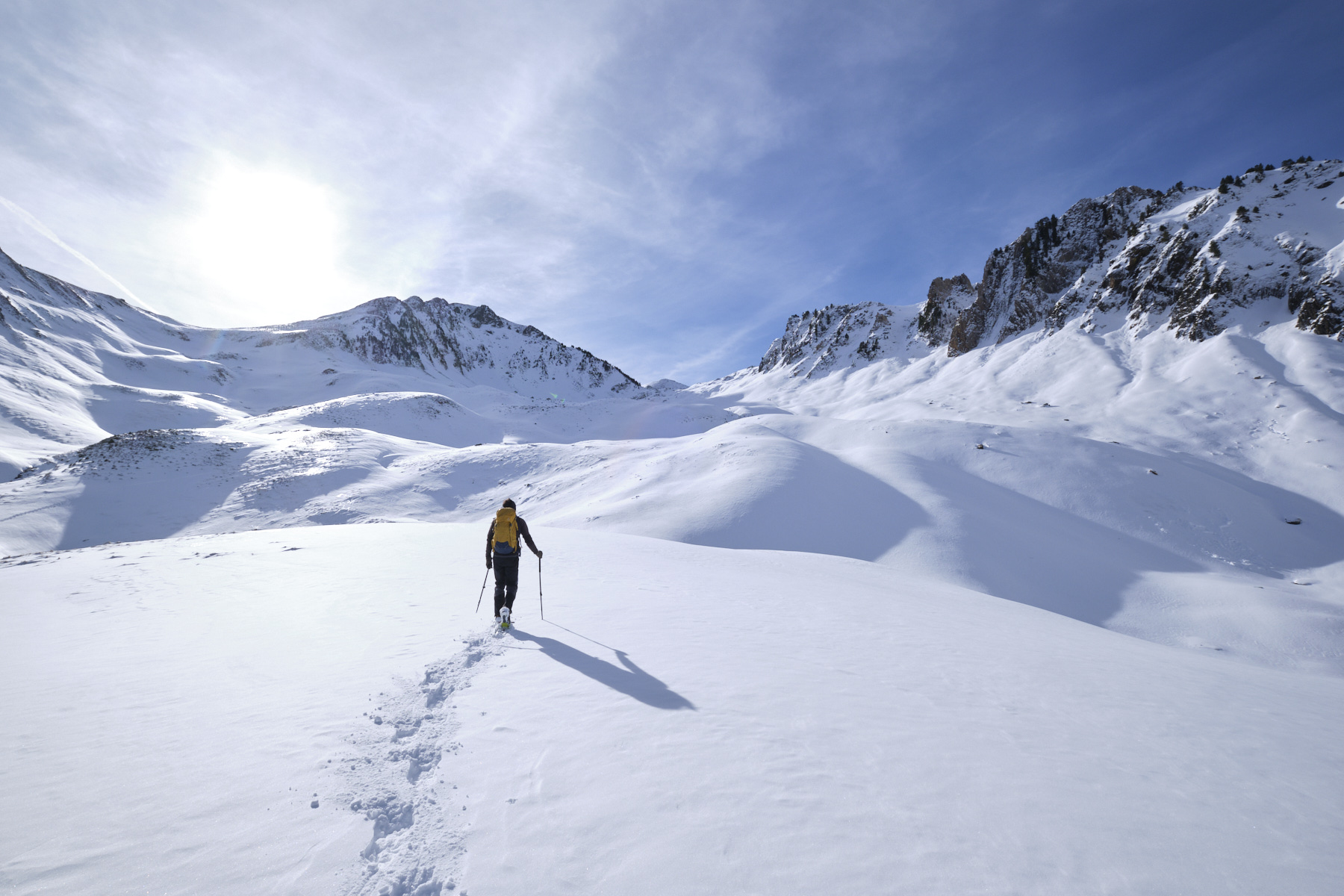
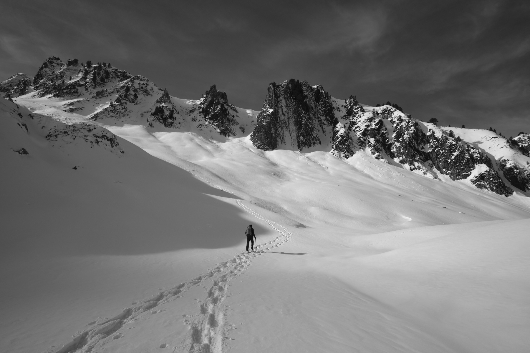
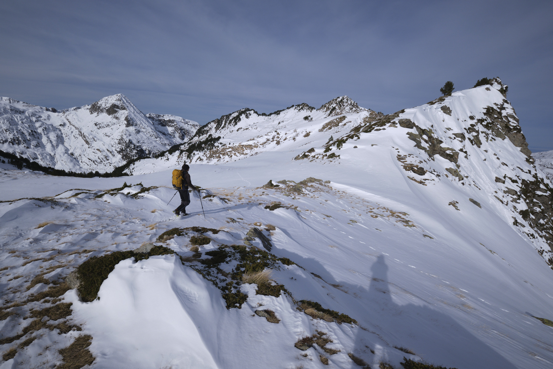
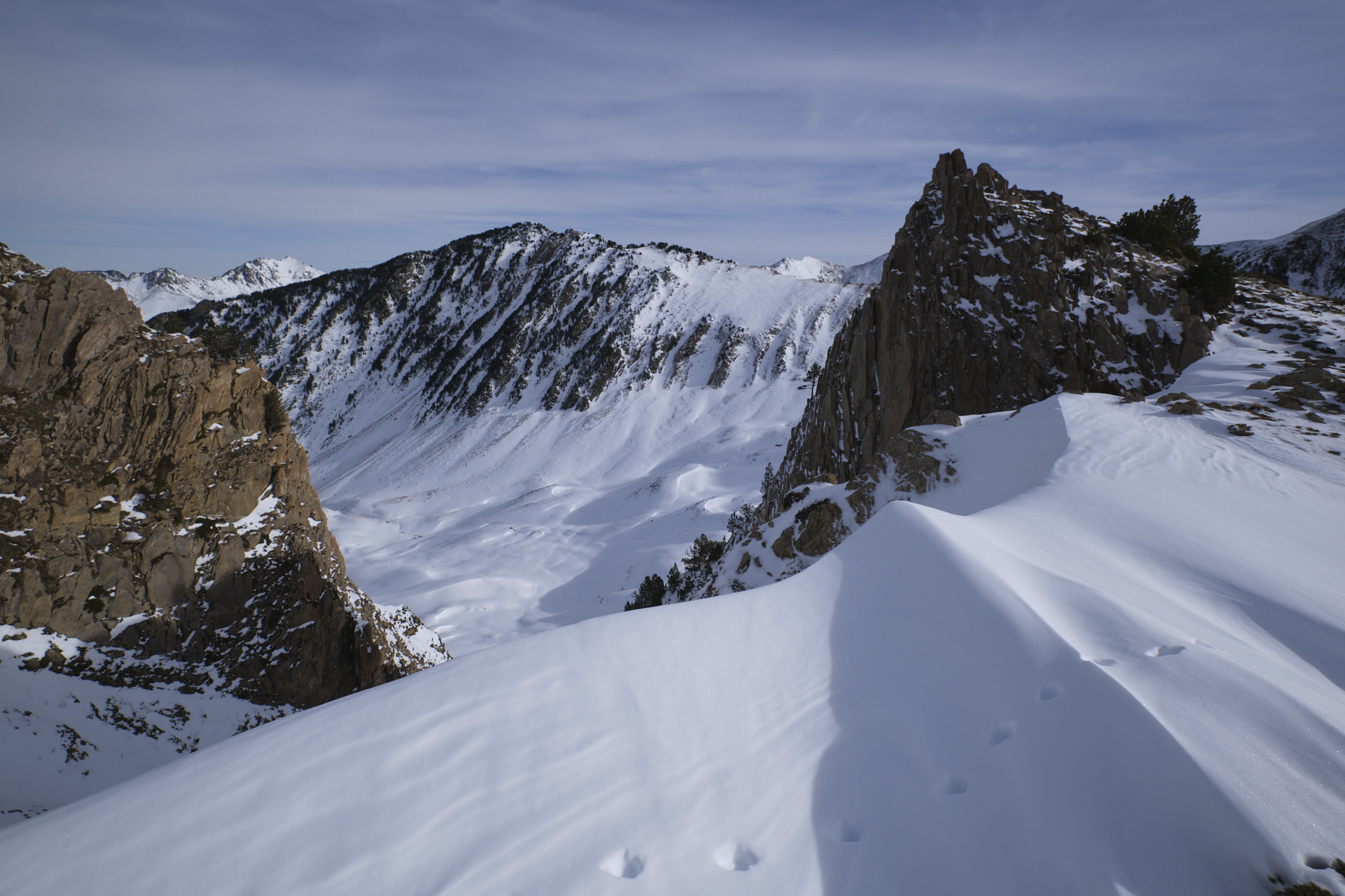
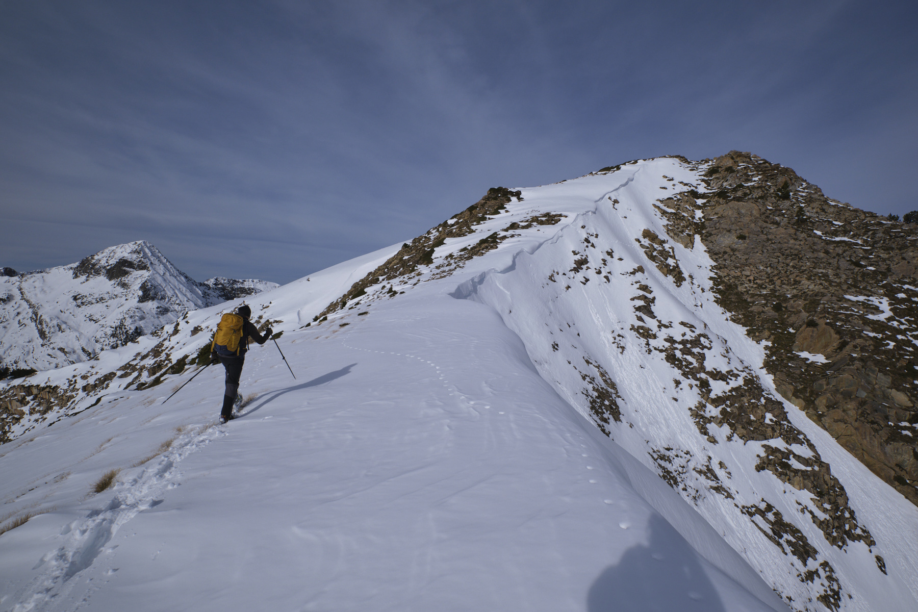
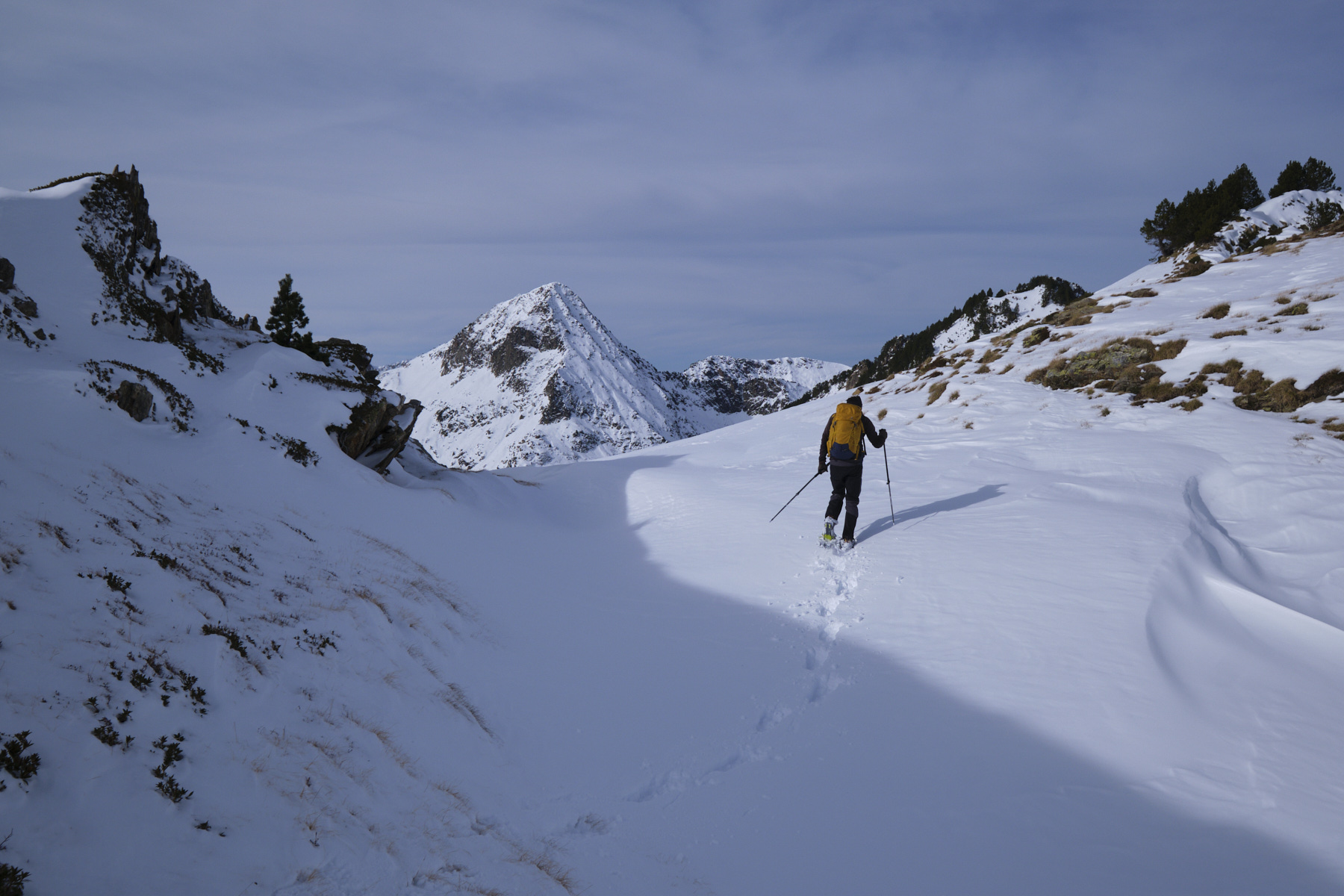
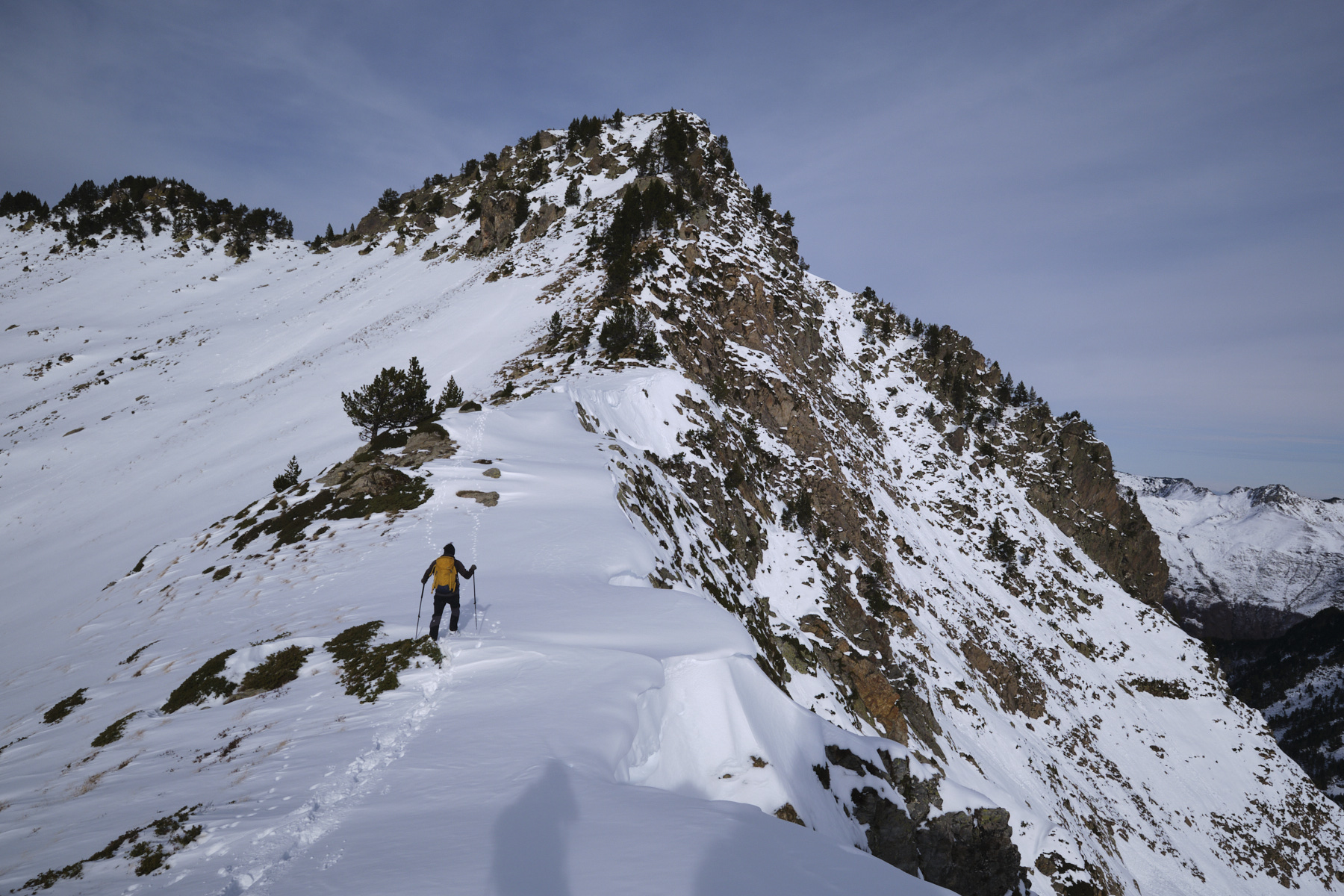
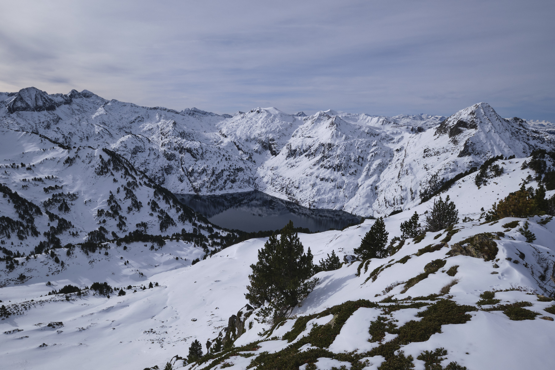
This snowshoeing itinerary takes place in a wild and beautiful high mountain setting, in the heart of the Orlu reserve. Reserved for experienced hikers, the route involves a number of technical difficulties to negotiate: steep or overhanging slopes, no climbing in mixed terrain, and orienteering. The ascent to the Jasse de Parau offers a breathtaking view of the south face of the Dent d'Orlu, probably the best view. The ridges leading up to the Pic de Parau offer splendid panoramic views of the Ariège and Catalan Pyrenees, including the impressive Etang de Naguille beneath the Pic de Cimet pyramid. A beautiful, demanding, challenging but spectacular itinerary. To be done in summer for less difficulty.
❱❱ Technical summary
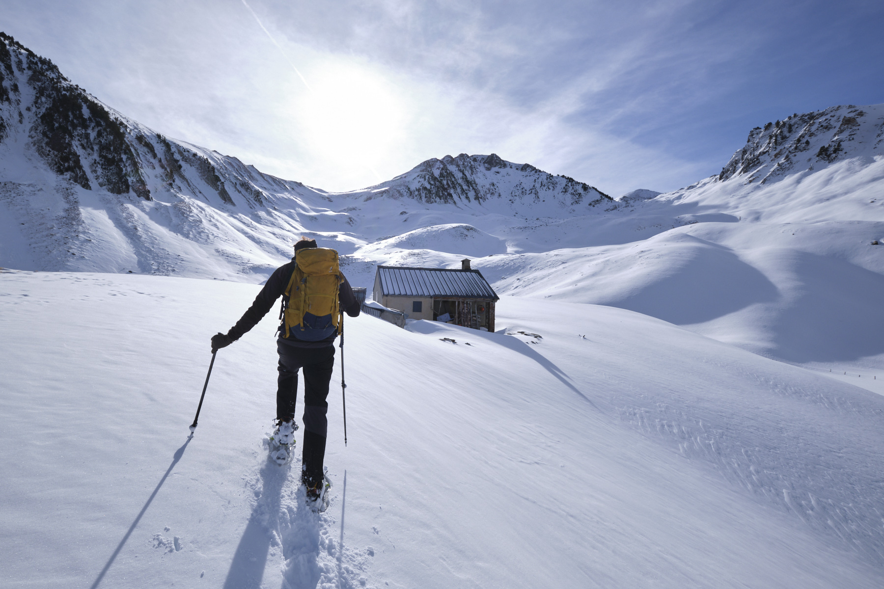
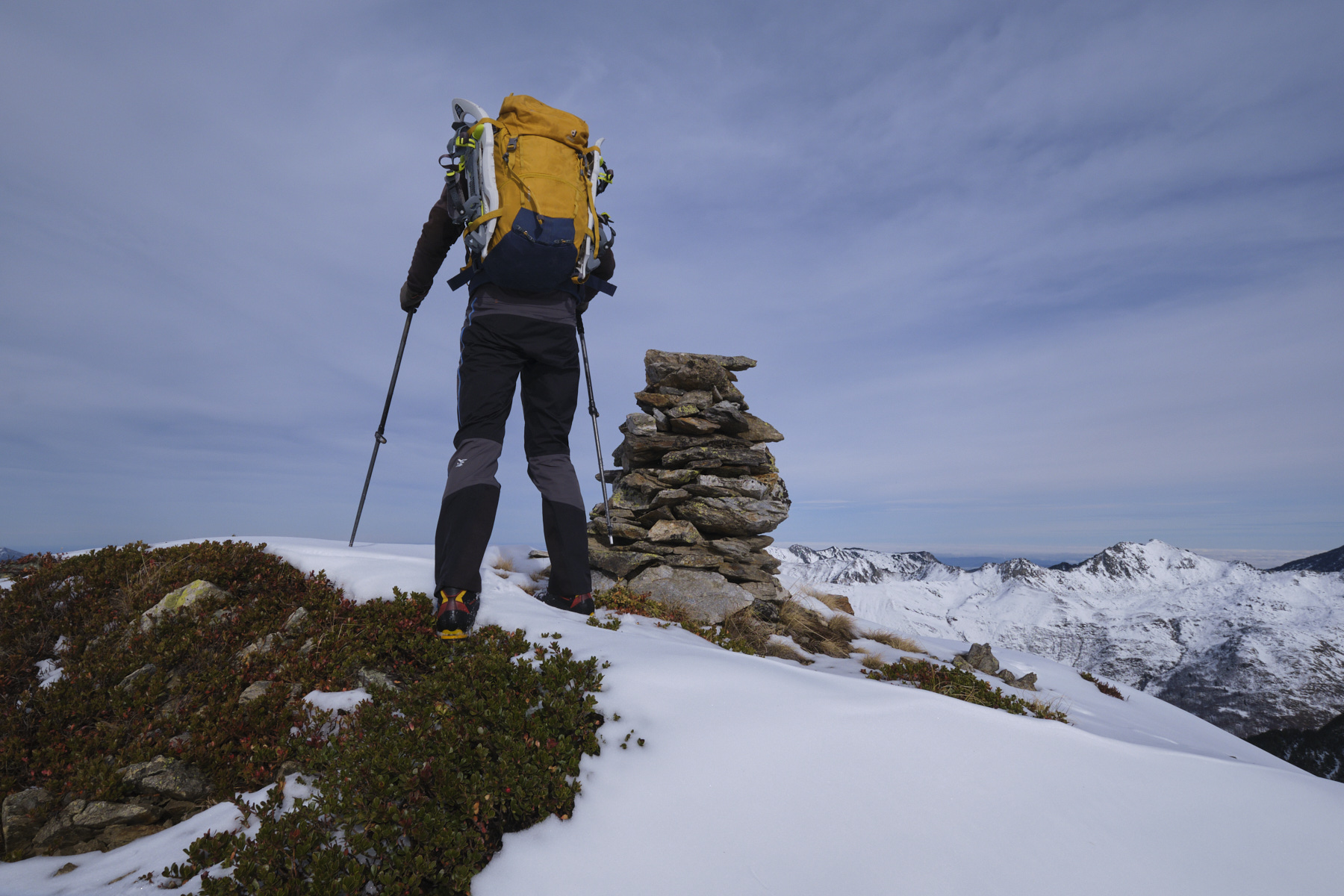
► Itinerary : High-mountain snowshoeing. 10 kilometers distance, 1250m ascent. Maximum altitude of 2327m at the summit of Pic de Parau.
► Geographical situation : Departure from Pont du Bisb, at the bottom of the Orlu valley, Haute-Ariège (09).
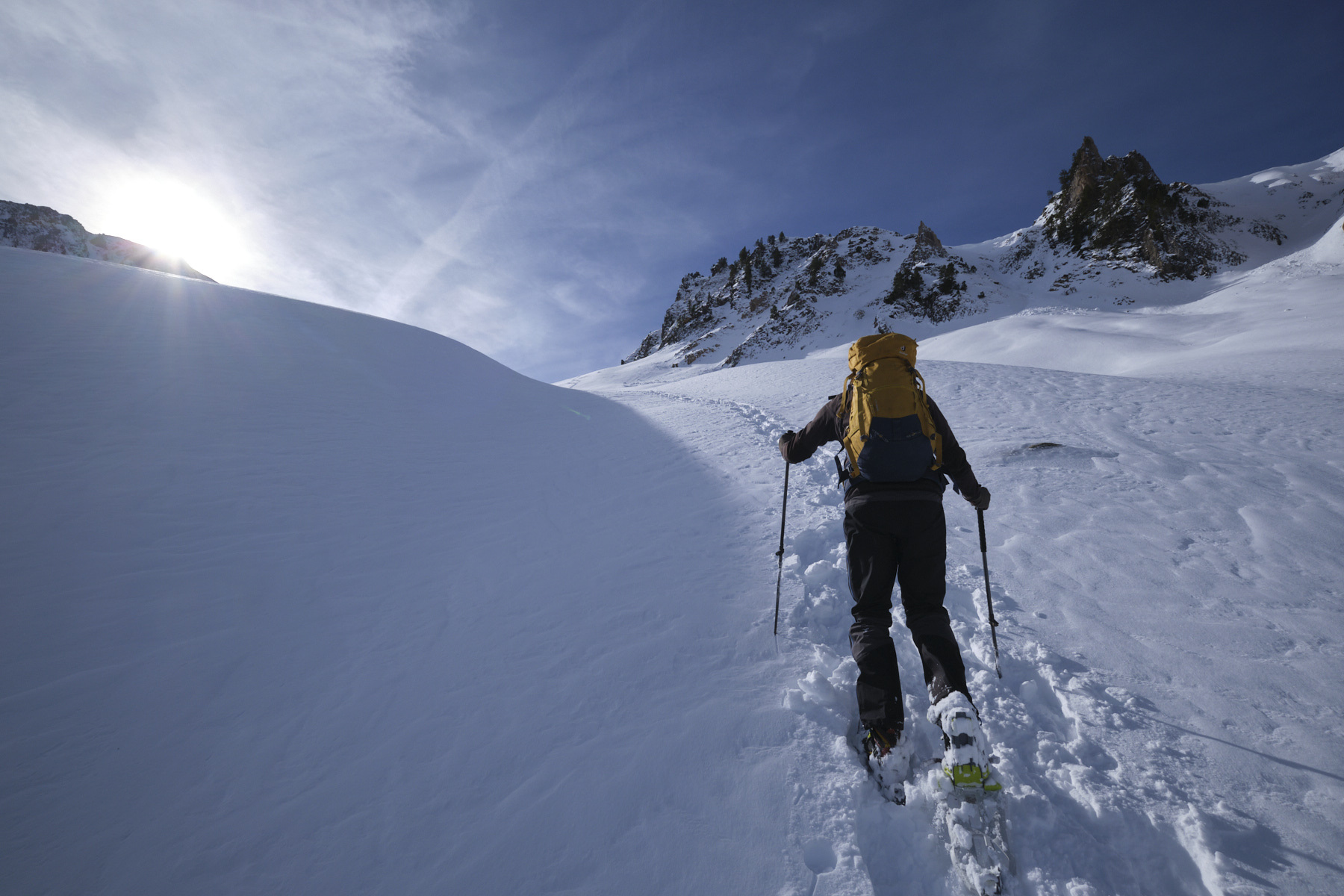
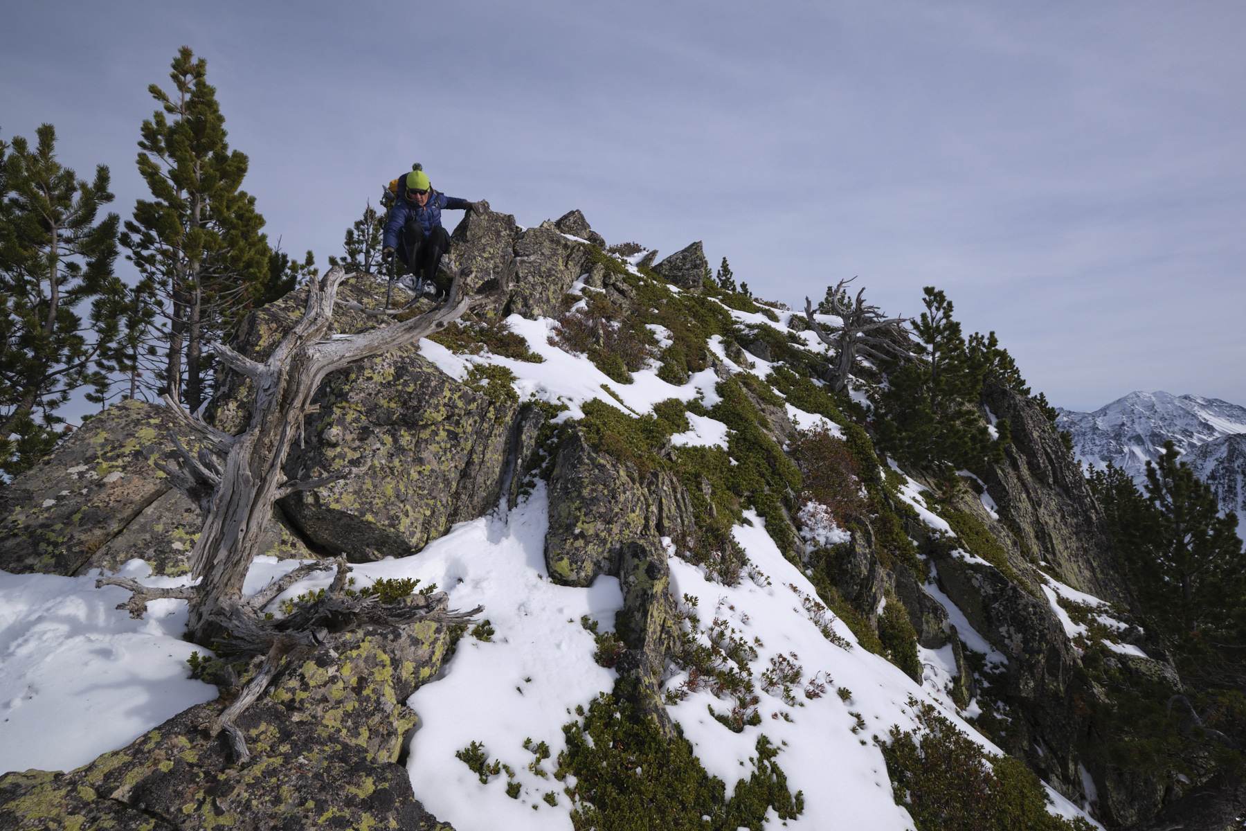
► Technical difficulties : Delicate steep or overhanging slopes on snowshoes, climbing and de-climbing in mixed terrain, with the help of hands and crampons to reach the summit of Pic de Parau, a long descent above a chaos of holes and snow accumulation.
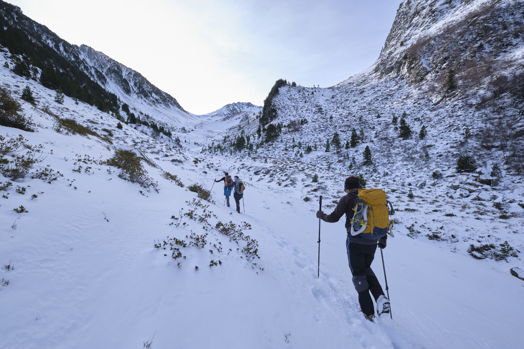
► Orientation : The ascent and descent are on the northern slopes. The path up to Couillade de Pinet is not very visible at this time of year, and there are no markers to help you find your way. The rest of the loop, the Pic de Parau and the descent behind the Pic de Roque Rouge are all off-trail. GPS tracking is useful and a good sense of direction is required.
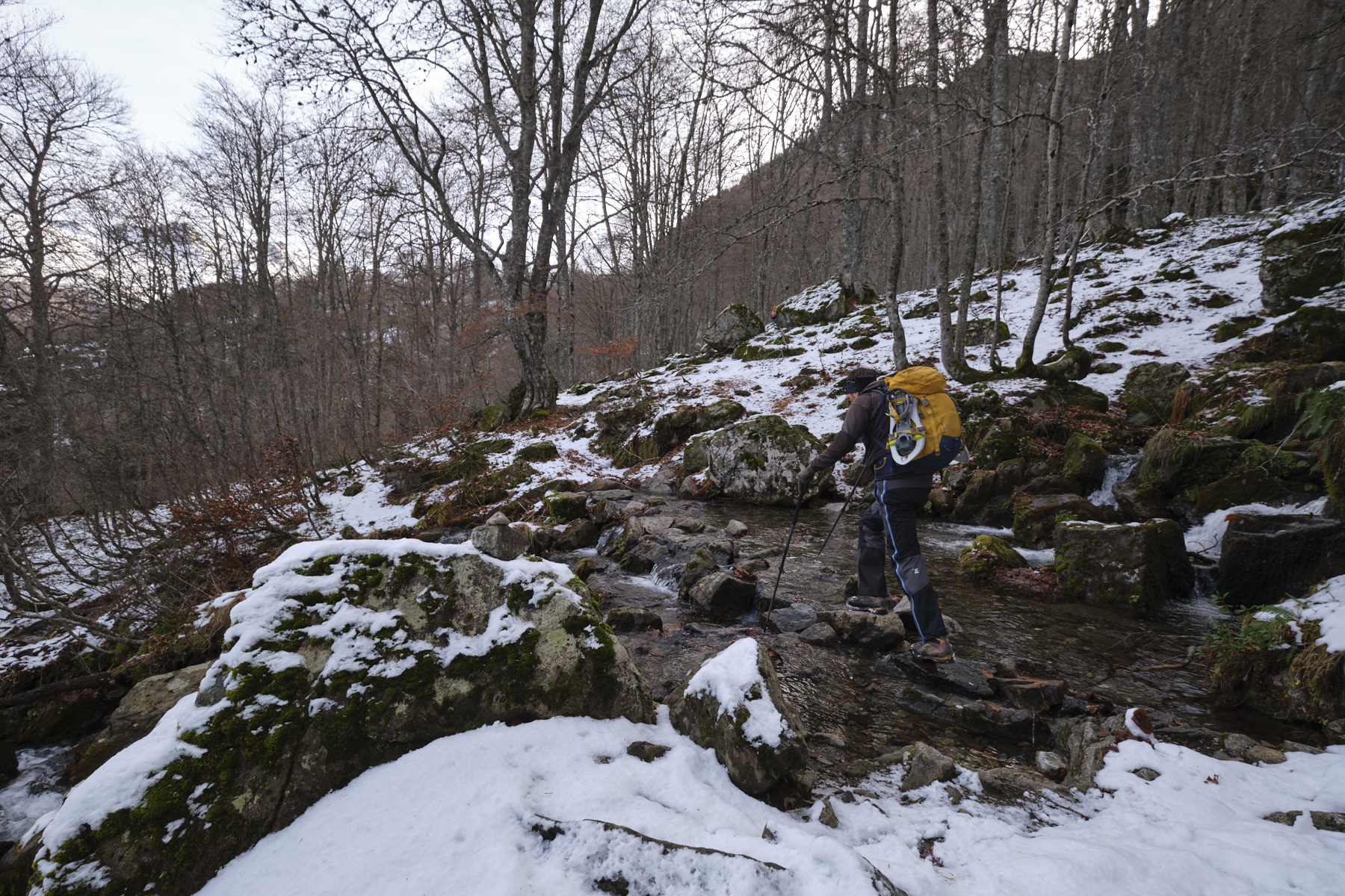
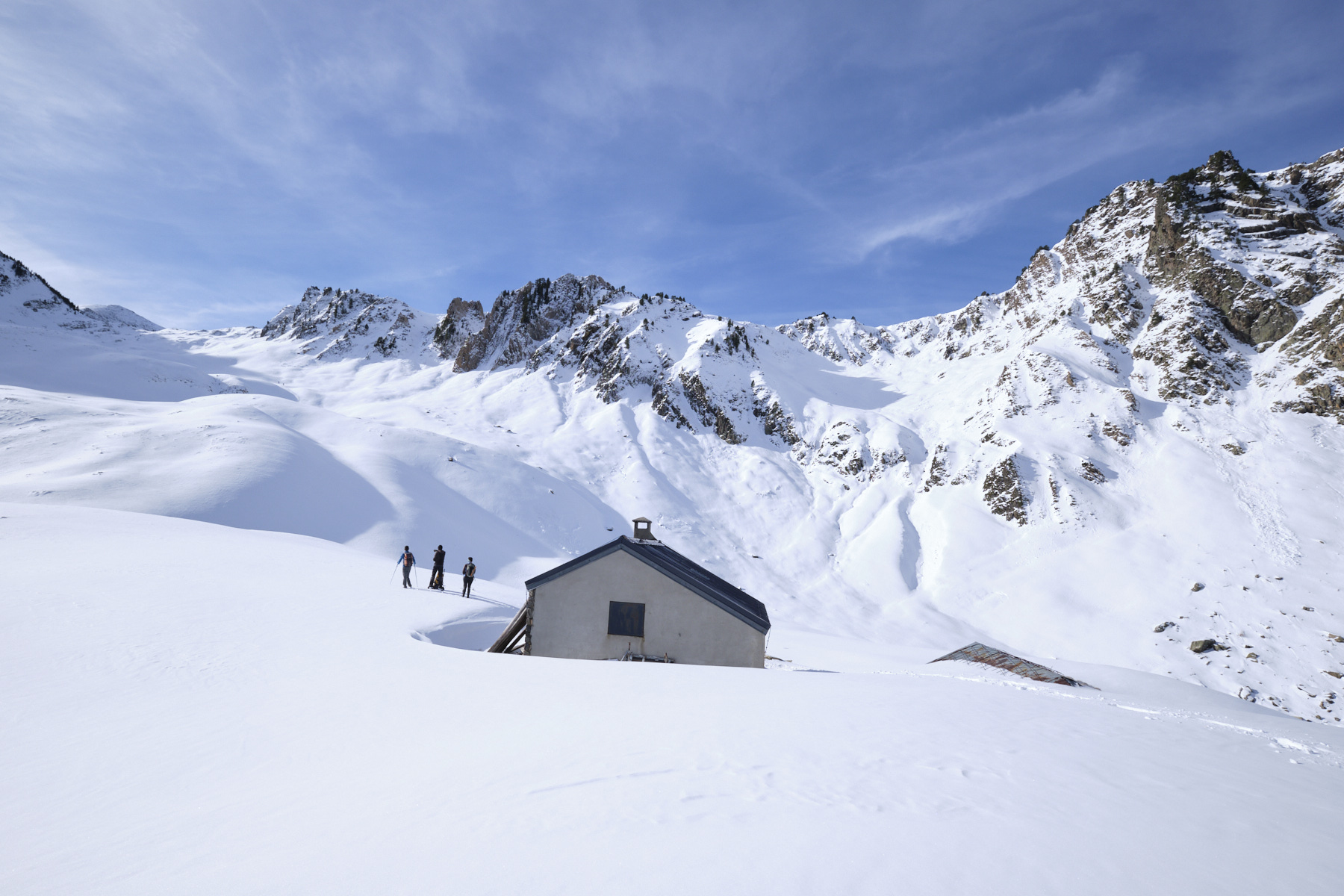
► Field and environnement : Beech forest at the bottom of the valley, then mineral terrain.
► Gear and equipments : Bring snowshoes, crampons and avalanche beacon.
► General review : A very beautiful loop, little practised, demanding and physically demanding, both in terms of duration and technical difficulties. For experienced hikers.
❱❱ Access to the place
On the N20 above Ax-les-Thermes towards Merens, turn left towards Orgeix and Orlu. Pass through the 2 villages and follow the narrow road to Fanguil. Park at the Pont du Bisp bridge.
❱❱ Map & topo
The route from the Couillade du Pinet to the Pic de Parau and the descent through the combe under the Sarrat de Bédeilla to join the ascent path is indicative.
Voir en plein écran
❱❱ Itinéraire
Cross the Oriège by the small bridge and go straight up a few metres to cross a forest track and follow it uphill to the right (leave the downhill track). After 2 large bends, leave the track and climb left into the forest on an inconspicuous, unmarked path (cairn at the start). The path climbs steeply and steadily in twists and turns. Be careful to follow it, especially in autumn when it's covered in leaves. The climb is right in front of the Dent d'Orlu, which is at our back. After 45' or so, it becomes a little less steep and we skirt the Chourlot stream, which forms small waterfalls before crossing it. Further on, we cross a fence and a little higher up, we come out onto a flatter valley forming a long bowl. This is where we return via the combe, which can be clearly seen to the right of the central summit.
Then take the path down into the forest and retrace your steps to the Pont du Bisp. The descent is sustained and quite hard on the legs at the end...


Leave a Reply