

TOPO Hiking | CLIMBING7.COM
Publié le

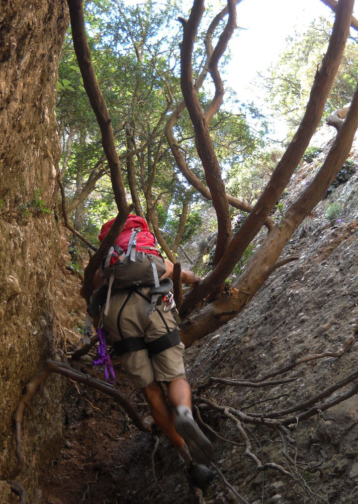
A short but classic Monsterrat route. Located exactly in the middle of the massif (east-west direction), on the north side, at the end of the Migdia canal, just beside the Talaïa and below the Miranda de Sant Jeroni. This is simply a natural route to the Miranda dels Ecos, a large, clearly visible rocky ridge forming a long platform. Nothing difficult, but very little equipment is required, although the first part has recently been re-equipped (mainly with lifelines). The canal itself is climbed using available roots and branches, hence its original name. (micos = monkeys). The route is not an out-and-back, so it can be combined with the Cami del Pas del Esfinx and a return via the Col del Miracle further west. The result is a varied and original loop lasting 3 to 4 hours.
❱❱ Technical summary
❱❱ Access to the place
From Barcelona, take the A2 towards Leida and exit after Le Bruc at the Grand Hôtel du Bruc. Turn right towards the monastery and climb up to the Can Maçana pass, at the westernmost point of the Montserrat massif. Just after the pass, turn right onto road BP-1103 towards the monastery. Stop at the Santa Cecilia refuge, where you can park.
❱❱ Map & topo

❱❱ Itinéraire
From the refuge, take the GR-172 to the right (west) to find the Font del Llum canal, which leads straight on to the Portell de Migdia. Go back down the Migdia canal, and you'll soon find the access to the los Micos canal on the right (sign on a tree).
The channel (1h max) faces due east. Equipment is minimal, but the lifeline has been redone in some places. This can be done without equipment, but it's better to have a harness, helmet and dissipater.
After a diagonal climb up the side, you soon come to the canal itself, which is free-climbed for around 25-30m, between 2 rock faces and then through huge roots that you can grab onto. The route then zigzags upwards to reach a small pass and a large ridge on the left, which runs due south and dominates the Catalan plain: this is the Miranda dels Ecos, with a magnificent view if the weather is clear.
Continue due west to Coll del Miracle via the "recorregut dels pas de l'Esfinx". Descend a few metres behind the Miranda to find a tiny path that runs along the Miranda to the left and south (difficult to find). We pass a small pass and a very steep descent equipped with ropes and chains. Don't miss the first fork in the road to the left, and you'll come to the Chemin dels Pas de l'Esfinx (indicated by paint on the ground). All that remains is to follow the path marked in red, then sometimes in blue, which remains more or less level, alternating passages in the forest and rocky crossings. Look out for a path to the right just after the Esfinx crossroads, heading towards Agulle Lluis Estasen. This path joins the canal del Hort del Malany and leads to another equipped path: El Salt de la Nina. Continue along the Pas de l'Esfinx path to finally reach Coll del Miracle, which takes you back down to the GR or the road.
Leave a Reply