

TOPO Hiking | CLIMBING7.COM
Publié le

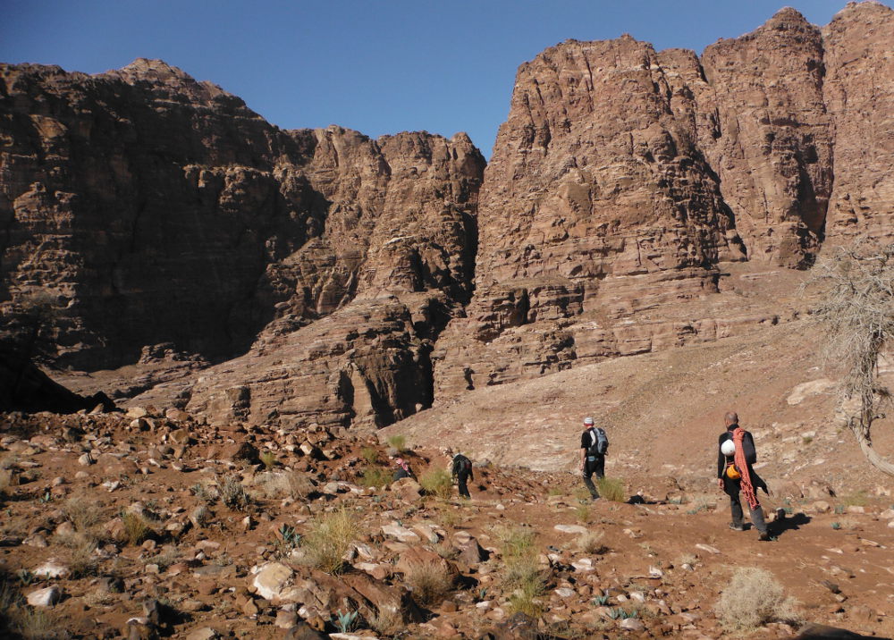
South of Petra, at the level of the small village of Taybeh. From the road, before descending, you can admire the day's playground. The loop described here is a combination of several routes listed in Howard & Taylor's book, even if the return by cutting across the Jebel Juthum does not appear. We enlisted the services of a Bedouin guide whom we met at the camp below Taybeh, and we're glad we did, given the complexity of the route (even if it looks obvious on the map). The R110 to cross the wadi Tibn, cross the wadi Raqi and continue Tibn on the R109 which then goes up the wadi Sabra to the springs and the remains of a Roman theater before cutting back to the starting point, cutting Juthum then Jebel El Qui, by 2 improbable Bedouin passes. Long trek (7/8h), fantastic and varied landscapes, a rainbow-colored rock, Nabatean engravings in the middle of nowhere, a friendly encounter with our guide for the day, in short a more than recommendable walk, preferably accompanied.
❱❱ Technical summary
❱❱ Access to the place
Reach the village of Taybeh, a few kilometers south of Wadi Musa and the Petra site. In the village, find the steeply descending road and park as far down as possible. You can then easily see the wide track beginning its descent to the bottom of the gorge.
❱❱ Map & topo

❱❱ Itinéraire
Take this track down to the valley floor. A Bedouin camp on the right as you arrive (where we found our guide). The loop starts, without going any further down.
The trek is very long and tiring, and very complicated for orientation, especially on the way back. The topo of the routes in this sector in Howard and Taylor's book helps to visualize the route, but is insufficient to guide you on the ground... No special equipment required, no ropes or wetsuits (Tibn can, however, have well-filled basins in winter, requiring almost swimming).
Part 1: Wadi Tibn
Head left, staying high up, before descending to the bed of the wadi and forking right at the entrance to Tibn a little further on. The gorge is quite wide, with large walls on either side, and the path passes from one side to the other to avoid boulders or pools of water. We couldn't do the final part of the wadi (narrow) because there was too much water and we weren't equipped. We then skirted around to the right, over a small pass on the Jebel El Qui before reaching Wadi Raqi.
Part 2: towards Sabra
Continue along wadi Tibn on the other side of wadi Raqi, almost opposite. Always a path that oscillates between the torrent bed and the flanks to avoid obstacles. At the end, fork right (it really opens up on the left) to begin the ascent of Wadi Sabra.
Part 3: Wadi Sabra
An easy route to follow on this part, passing over an airy ledge before walking on the high plateau where the first waters of Sabra meander. An oasis bears witness to this, and further on, the scattered remains of an ancient Roman theater.
This is where it gets complicated! Continue along Wadi Sabra, on a very wide plateau, and "at one point" turn right and climb up to reach the first pass, a sort of fault that cuts across Jebel Juthum and leads to Wadi Raqi. Impossible to find if you don't know the way. Cross Raqi and then, improbably enough, climb up the other side to cross another pass with a few Bedouin climbs and steps to reach the domes of jebel El Qui, before heading back down to the Bedouin camp. All that's left is to climb the track back to Taybeh, a steep 30′ by headlamp after 7 hours of trekking!
Leave a Reply