


TOPO Hiking | CLIMBING7.COM
Publié le
 Partager sur WhatsApp
 Partager sur Twitter
Partager sur Instagram
Partager sur Twitter
Partager sur Instagram

 Partager sur Facebook
 Imprimer le topo
 Laisser un commentaire

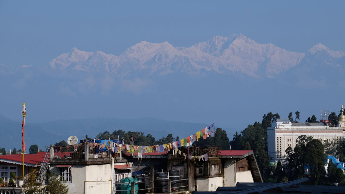
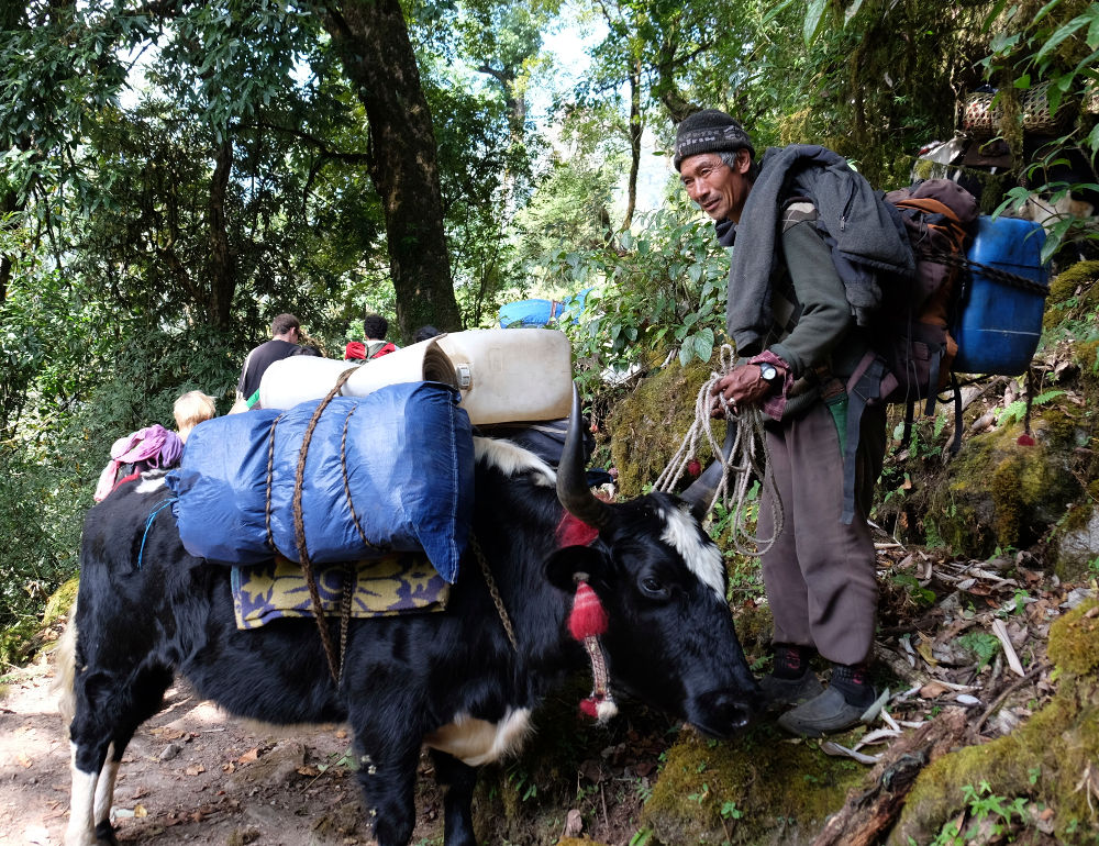
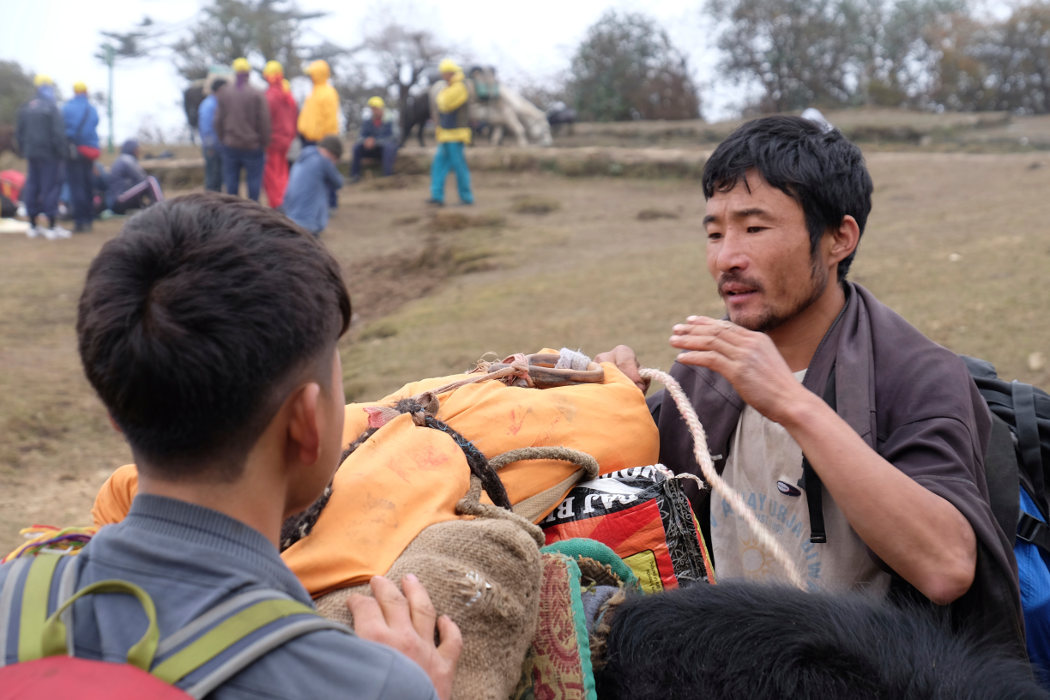
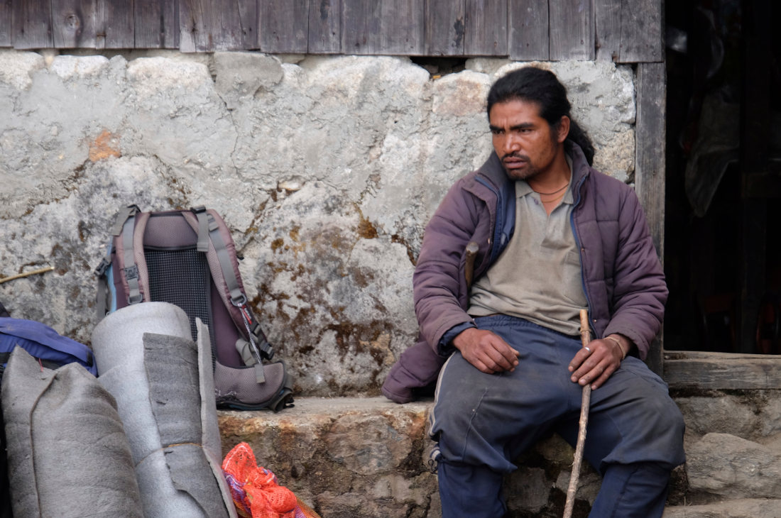
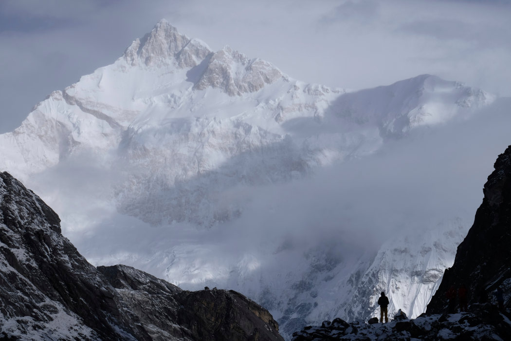
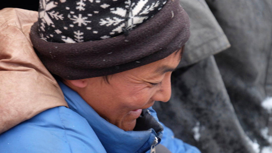
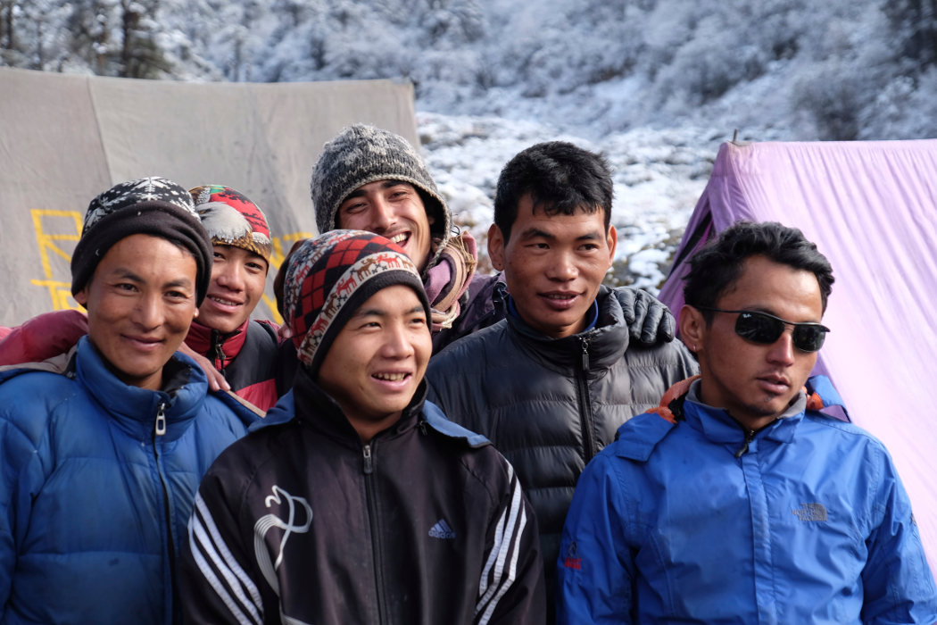
The trek, starting from Yuksam, takes 5 days to reach the Goecha La, the natural pass to the world's 3rd highest peak, Khangchendsonga, 8586m. Sikkim, this tiny piece of territory, an independent Indian state above West Bengal, offers difficult but incredible access to the Himalayas, between Nepal, Tibet and Bhutan. While the trek presents no technical obstacles, the difficulty lies in its length, altitude management (4 days between 4000 and 5000m) and cold camping conditions. The setting is simply extraordinary, the scenery very impressive and the view of the Khangchendzonga splendid. A special permit to enter Sikkim and the presence of a local guide are mandatory. For the occasion, we hired a team to follow us, complete with horses and a truly outstanding cook. A world-class hike, accessible and unforgettable.
❱❱ Technical summary
Type ✦ Hiking
Location ✦ Yuksam
Region ✦ Sikkim
Country ✦ India
Difficulty ✦ D
Max altitude ✦ 5000m
Dénivelé ✦ 4500m ?
Duration ✦ 6 days
Interest ✦ ★★★
❱❱ Access to the place
Difficult and long! Allow 2 days from Bagdogra (airport) to reach Darjeeling and then Yuksam by Jeep on roads that are often in very poor condition, at an average speed of 15 km/h. From Bagdogra, take a pre-paid cab (or bus, but slower and change at Siliguri) to Darjeeling (2h30, approx. 2000 rupees), then by jeep or cab to Melli, the checkpoint for entering Sikkim, and finally to Yuksam (6h by jeep, allow 5000 rupees for the private jeep, otherwise cheaper by group). It really is an expedition!
In Yuksam, there are a number of guest houses and hotels, and we stayed at the Limboo Home Stay, just outside the village, an excellent address run by a family (900 rupees a room for 3 and excellent cuisine!).
❱❱ Map & topo
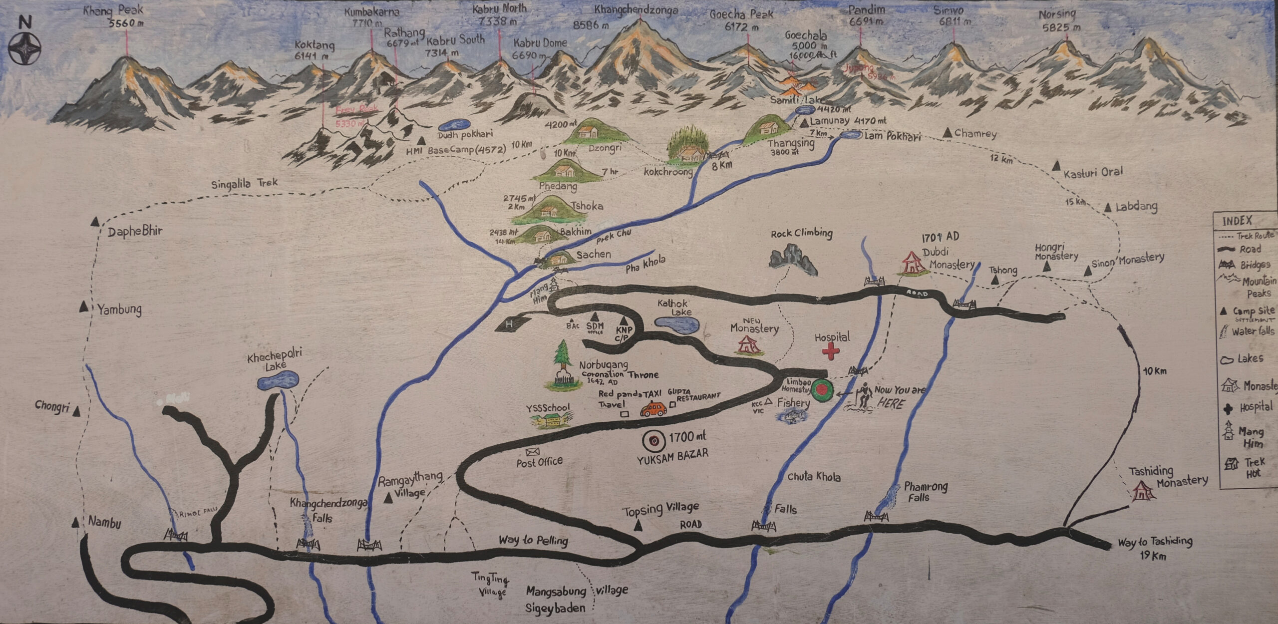
❱❱ Itinéraire
Can be done on foot, but we did it by Jeep with our guide. Go to the very top of the village to find the trailhead.
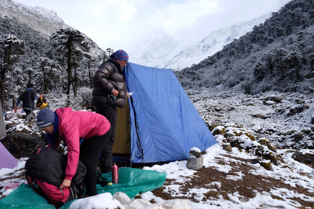
It's almost a 6-day round trip (normally planned in 7 or 8 days). 4 days of approach to reach the base camp leading to the pass and 1 day for the return to Yuksam (big day!). Of course, you'll need very warm clothes for the morning and evening. During the day at this time of year, it's not too cold, but conditions change very quickly.
Basically, the summits are clear until 9 a.m. and then things get complicated. Departures are therefore often very early in the morning, or even at night. Beware of the walking times indicated, as the altitude is quite high, and you're less likely to be a smart ass after 3500 or 4000m.
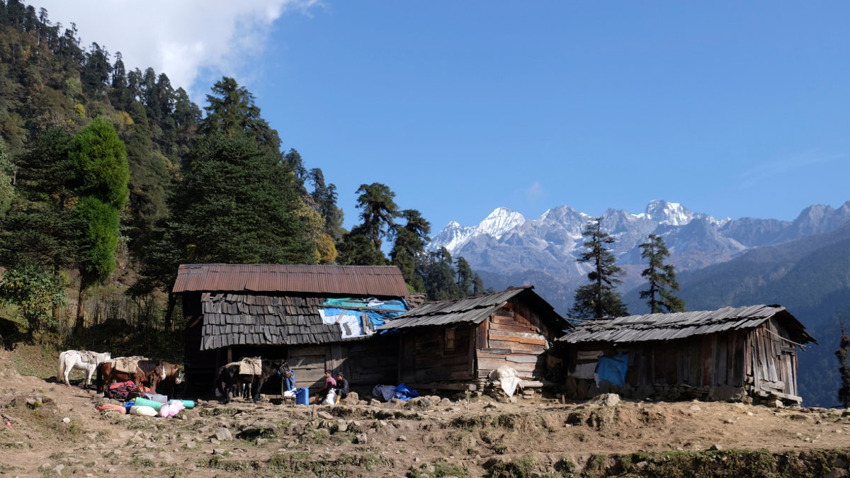
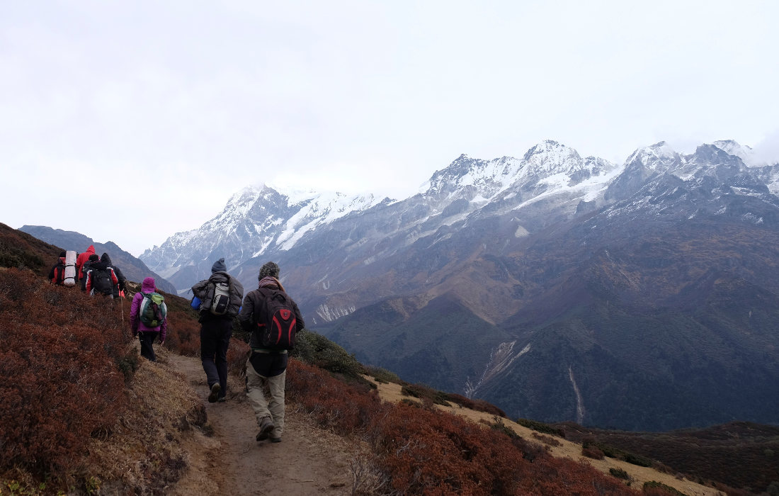
The main task is to follow the paved path up through the forests of immense trees, crossing large waterfalls on several occasions. Once past a large suspension bridge that takes us from one side to the other, there's a steep climb up to Tsokha. Here we set up camp for the 1st time and enjoy our first views of the summit, Pandim 6691m.
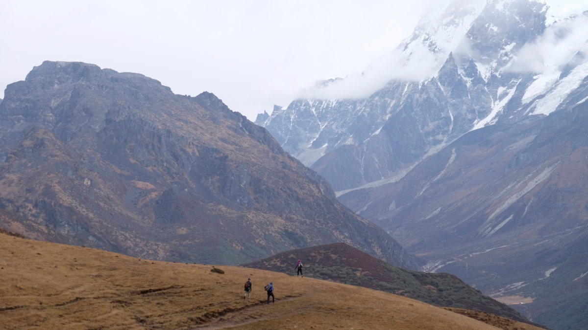
We climb for around 2 hours under rhododendrons and climb 700m to reach a first plateau at PHedang. From here we continue for at least 1 hour on the ridges to reach the Dzongri camp in a small hollow. The altitude is making itself felt in our heads...
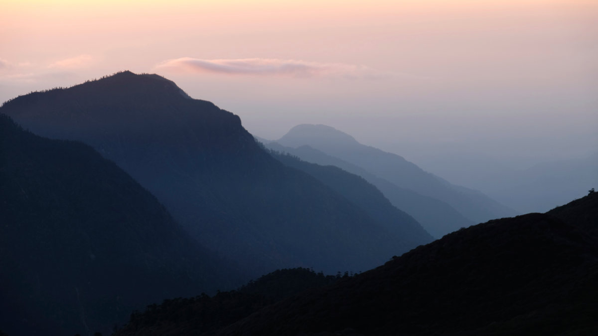
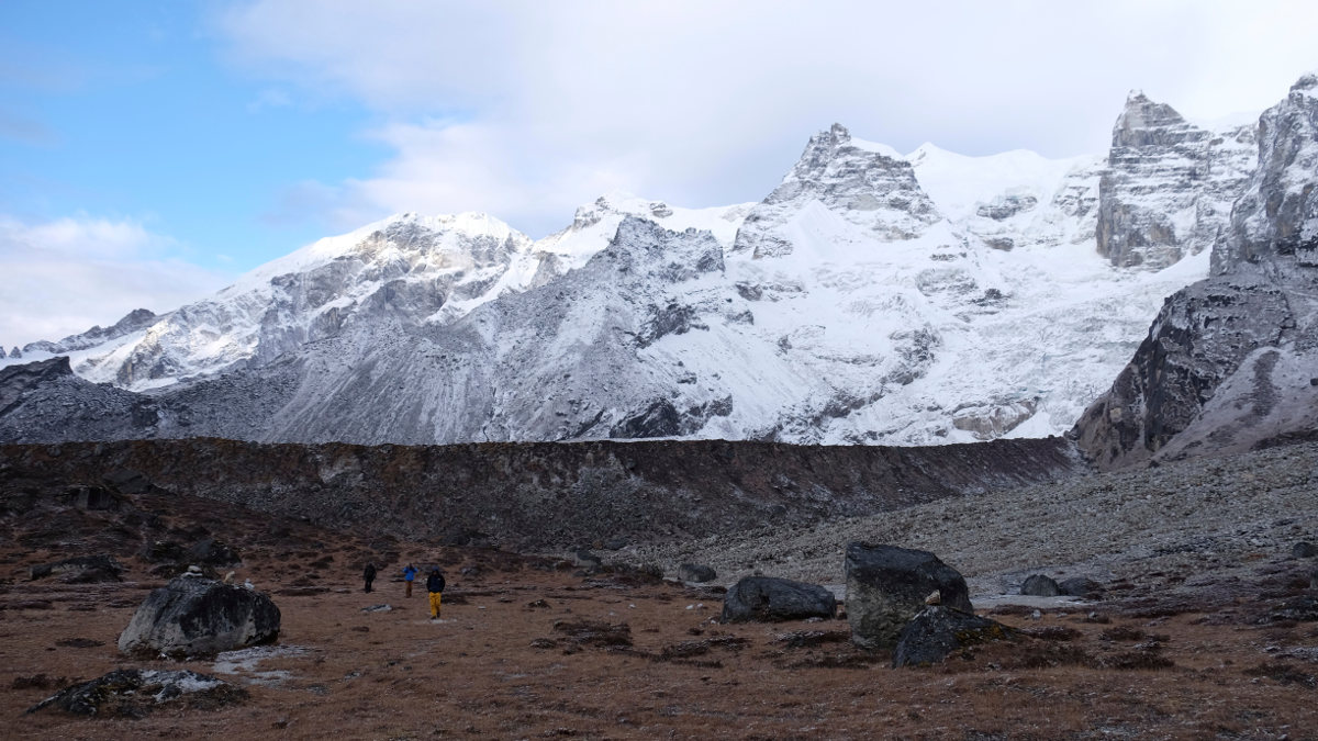
Acclimatization day at 4000m. Morning ascent of Dzongri peak in less than 1 hour, to watch the sunrise over the Khangchendzonga range. Then, after breakfast in the sun, we head for the Dzongri pass, at 4430m, which normally offers superb views of the mountains... but it's all blocked up by the time we arrive.
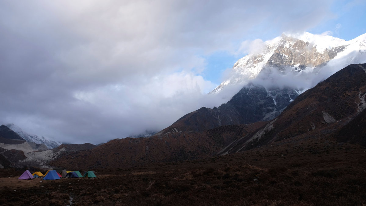
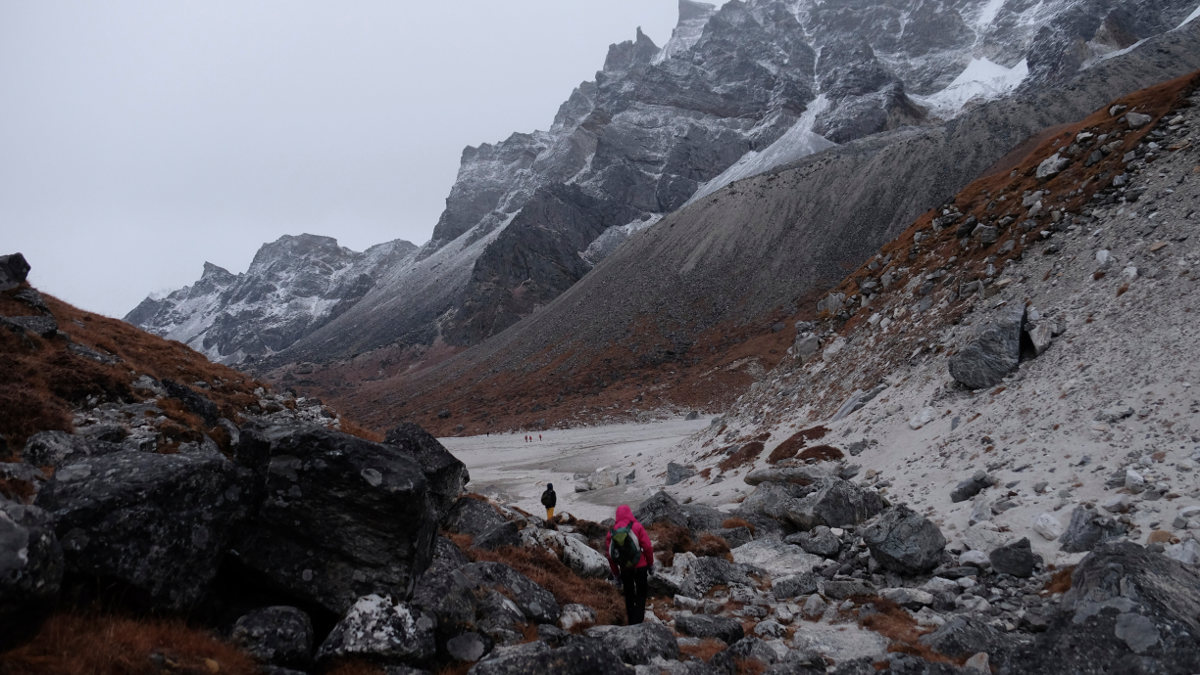
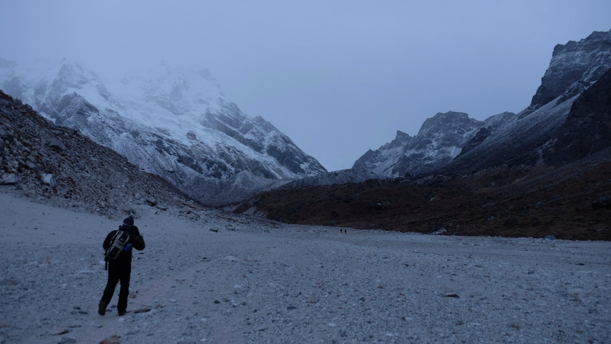
The trail passes over a small pass above the camp, then crosses a huge plateau and descends steeply into the Goecha La valley. Below, at 3725m, is the Kokchurong camp. We pass the torrent and gradually climb back up the valley, passing Tsongsing at 3900m and then Lamunay at the far end, the base camp for Pandim, our camp for starting the ascent of the Goecha La the next day. A splendid backdrop despite the overcast, with a monumental view of Pandim drooling at night. There's nothing here, it's cold, hostile conditions.
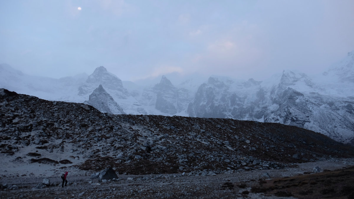
Up at 3am for take-off around 4am. We climb by night, passing Samiti Lake (which we'll see on the way back) and reaching the 1st review point at 4500m, but the weather is overcast and the sun doesn't rise. Chilled by the wait, we decide to carry on. Further on, a wide sandy ex-glacier repalt in a defile between Pandim and Goecha Peak, then the final climb, slow because of the altitude.
The last few hundred metres are difficult, and we end up on a small ridge to finally reach the pass. Fortunately, time opens up to see the Khangchendzonga for a few minutes. We then descend in the opposite direction, passing through Lamunay before continuing after lunch to Kokchurong, under snow for the last camp.
A long day and a long return to the starting point. The first part of the trip takes us through the forest to Phedang. The narrower trail climbs up and down, staying at 3700m. Then it's a long descent to Tsokha, followed by the 1st day in the opposite direction to Yuksam. More than 20 km in the legs, quadriceps in a mess, but back in the sun and heat! Off to the Liboo House Stay for the first shower in 1 week...
Vidéo du trek sur le blog de voyage Globailleurs


![2017-08-08_14-16-17 [Paglia orba et Tafunatu]](https://climbing7.com/wp-content/uploads/2017/09/2017-08-08_14-16-17-paglia-orba-et-tafunatu-e1544477255208-1024x682.jpg "Paglia Orba, Col de Vergio")

Leave a Reply