


TOPO Canyoning | CLIMBING7.COM
Publié le
 Partager sur WhatsApp
 Partager sur Twitter
Partager sur Instagram
Partager sur Twitter
Partager sur Instagram

 Partager sur Facebook
 Imprimer le topo
 Laisser un commentaire

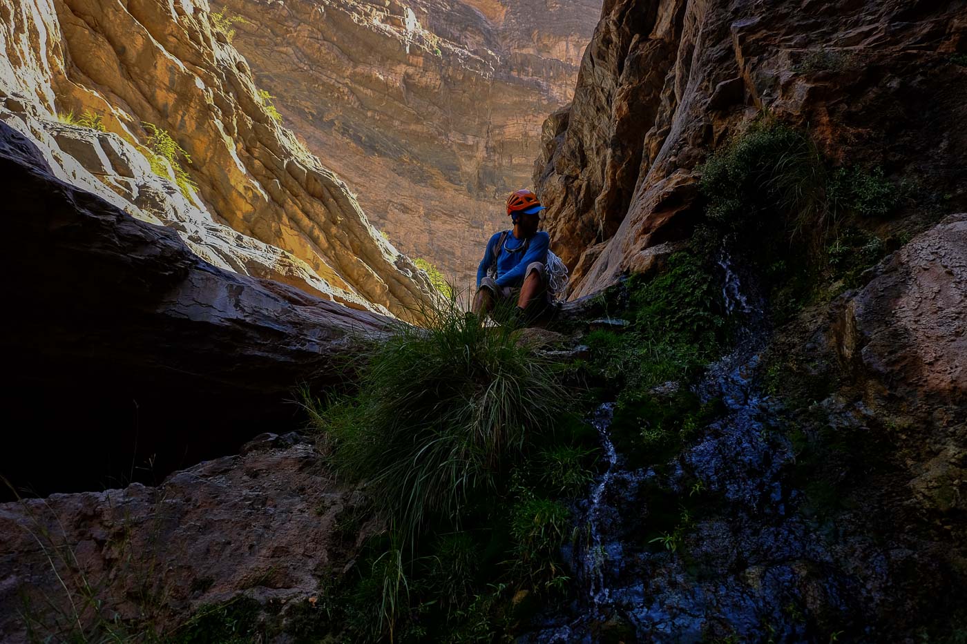
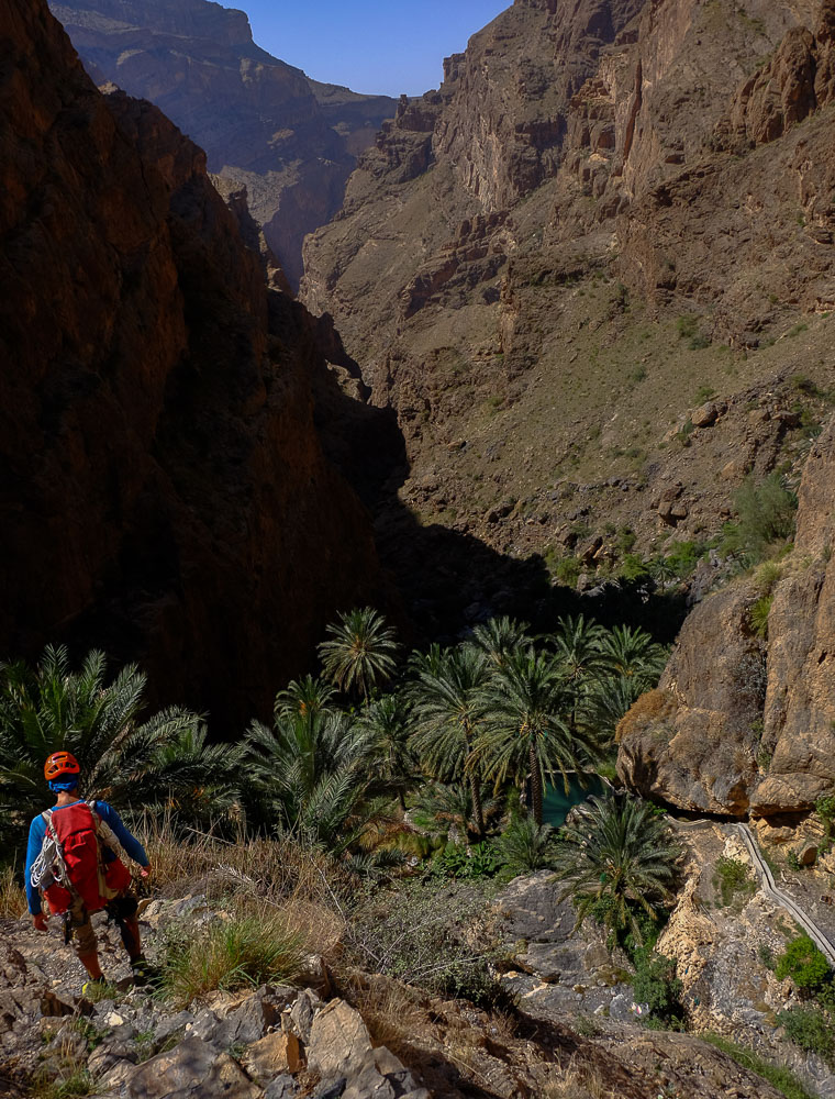
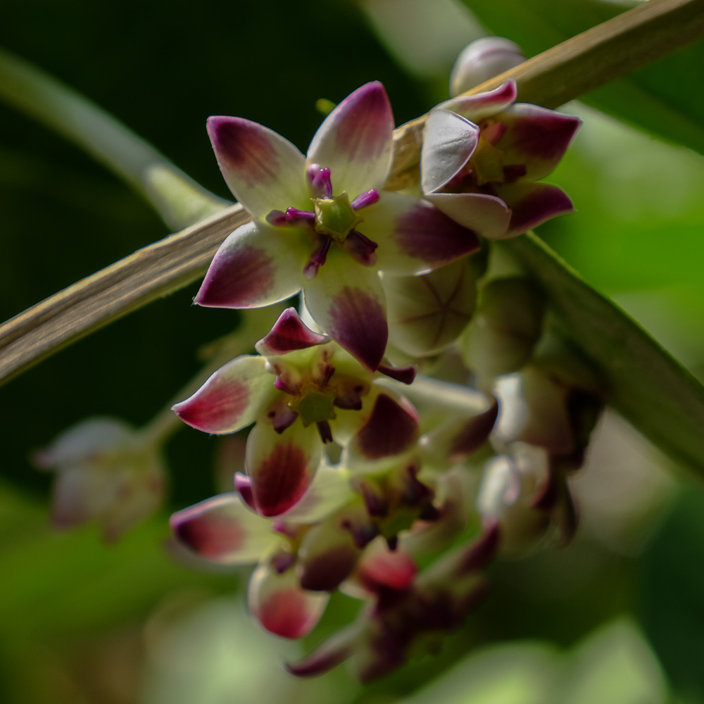
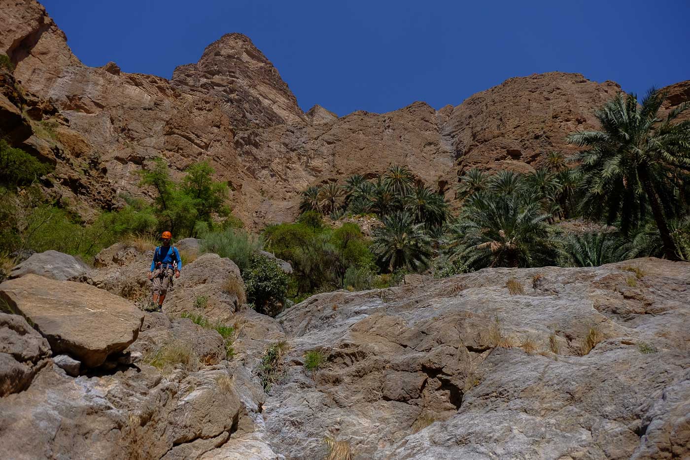
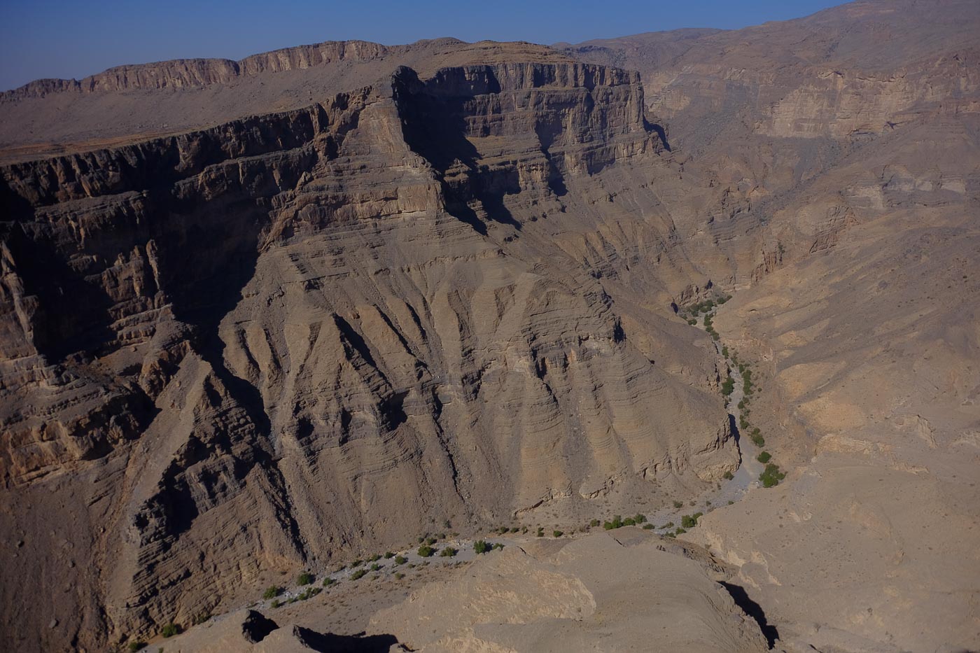
Back to Sayq plateau to discover Wadi Hijri, a new canyon opened by Khaled Adbul Malak, and what a canyon it is! Starting from Mheibis, a small hamlet lost at almost 2000m on the heights of Jabal Akhdar, it's a splendid descent of almost 12 hours to reach the end of Wadi Aqabat El Biyout before finishing in Wadi Tanuf, where Wadi Qasheh also ends. Not technically very difficult, the canyon is very aquatic in a fabulous setting. Once again, there's nothing to throw away: a heavenly approach to the terraces of the village of Masirat Al Shreeqiyeen and its suspended pool in the heart of the palm grove. The next section includes 5 abseils of no more than 25m, pretty waterfalls, a multitude of jumps and as many pools to swim in amidst frogs and potamo. A few more exotic encounters along the way: a colony of frogs leaping under our feet, long bluish garter snakes swimming alongside us or, more dangerously, a pair of adder cards, to be avoided.
❱❱ Technical summary
Type ✦ Water canyon
Location ✦ Mheibis, Sayq Plateau
Region ✦ Dalhiliyah, Western Hajar
Country ✦ Oman
Difficulty ✦ v2-a2-V
Max abseil ✦ 25m
Duration ✦ 11h to 12h (2 days)
Interest ✦ ★★★
❱❱ Access to the place
With 2 cars, leave one vehicle in Wadi Tanuf, at the Qasheh junction with Hijri. Climb to the plateau via Birkat El Maouz. Before the village of Sayq, turn right towards the Hotel Alila. Follow this sign until you pass the hotel and find a fork in the road on the left towards Mheibis. Park at the end of the road, at the entrance to the hamlet. Disadvantage: you have to return to pick up the 2nd vehicle at the end of the canyon.
With 1 vehicle or to avoid the return trip by car, leave the vehicle(s) at the exit of wadi Hijri and have a local driver take you up to Mheibis for around 50 rials.
❱❱ Map & topo
❱❱ Itinéraire
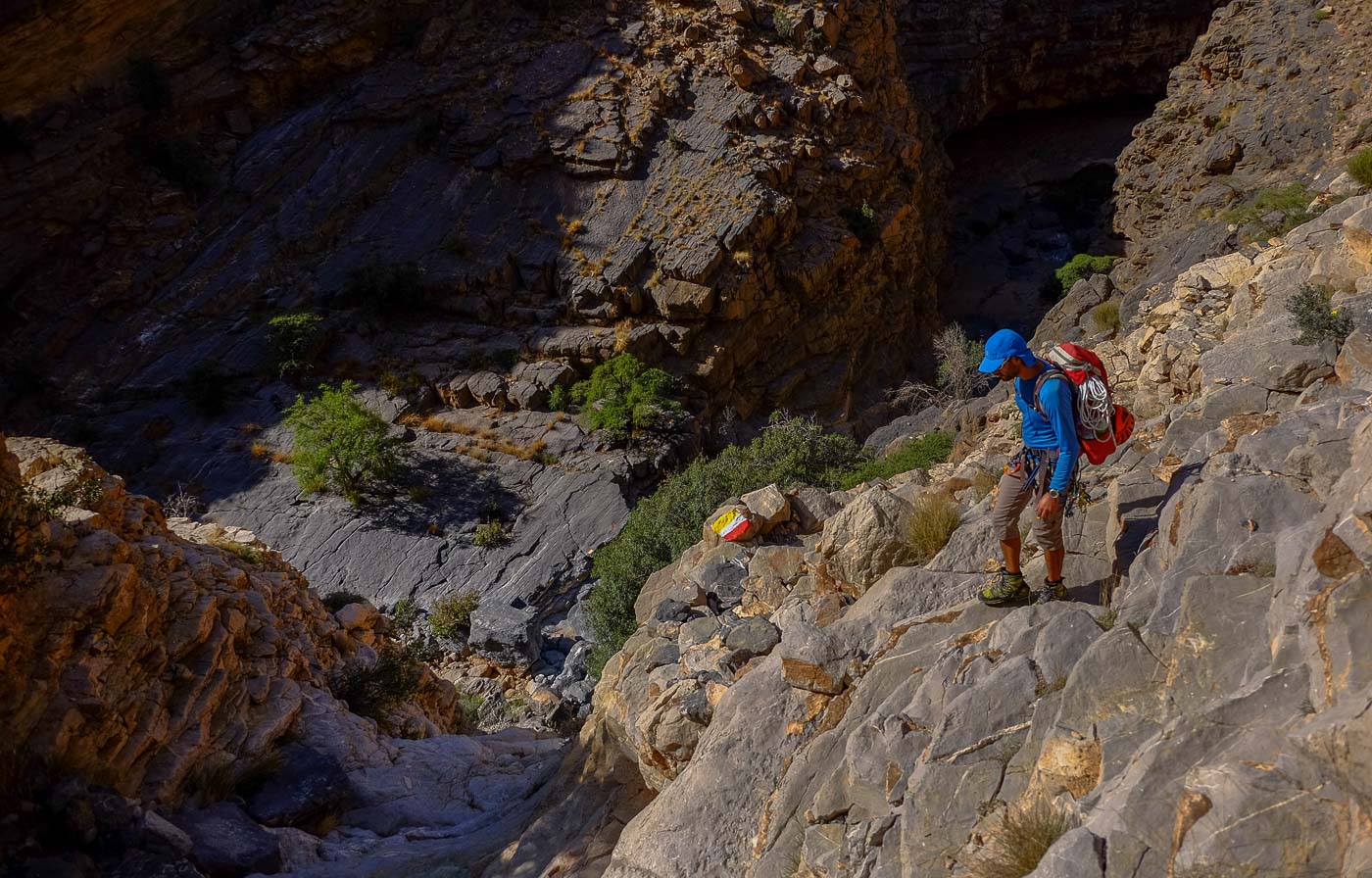
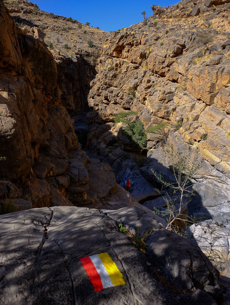
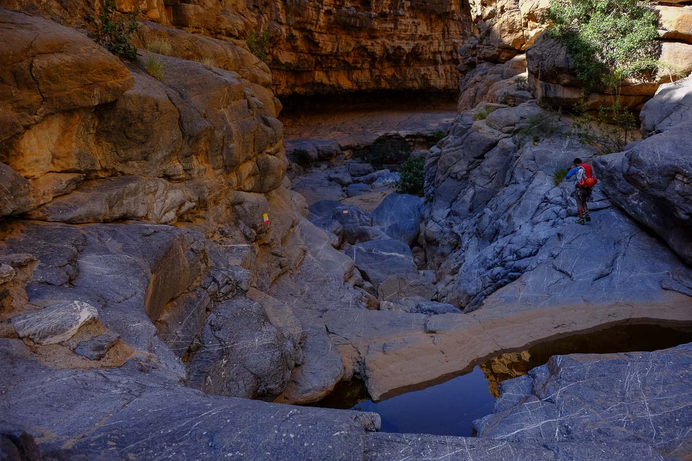
From the village reach the small mosque to find below it the path recently marked with red, white and yellow flags. Follow the path before branching off downhill to find the canyon bed (30′). A few easy climbs, and you're at the top of Wadi Hijri and the uninhabited village of Masirat Al Shreeqiyeen. Descend further to reach the palm grove and the hanging pool, the end of the signposting (approx. 1h30 from the start). A compulsory swim with an aerial view of the canyon entrance. After a refreshing swim, descend behind the pool and head off to the right, staying high and cutting through the terraces to find an access gully to the bed of the wadi, with a few not-too-difficult climbs.
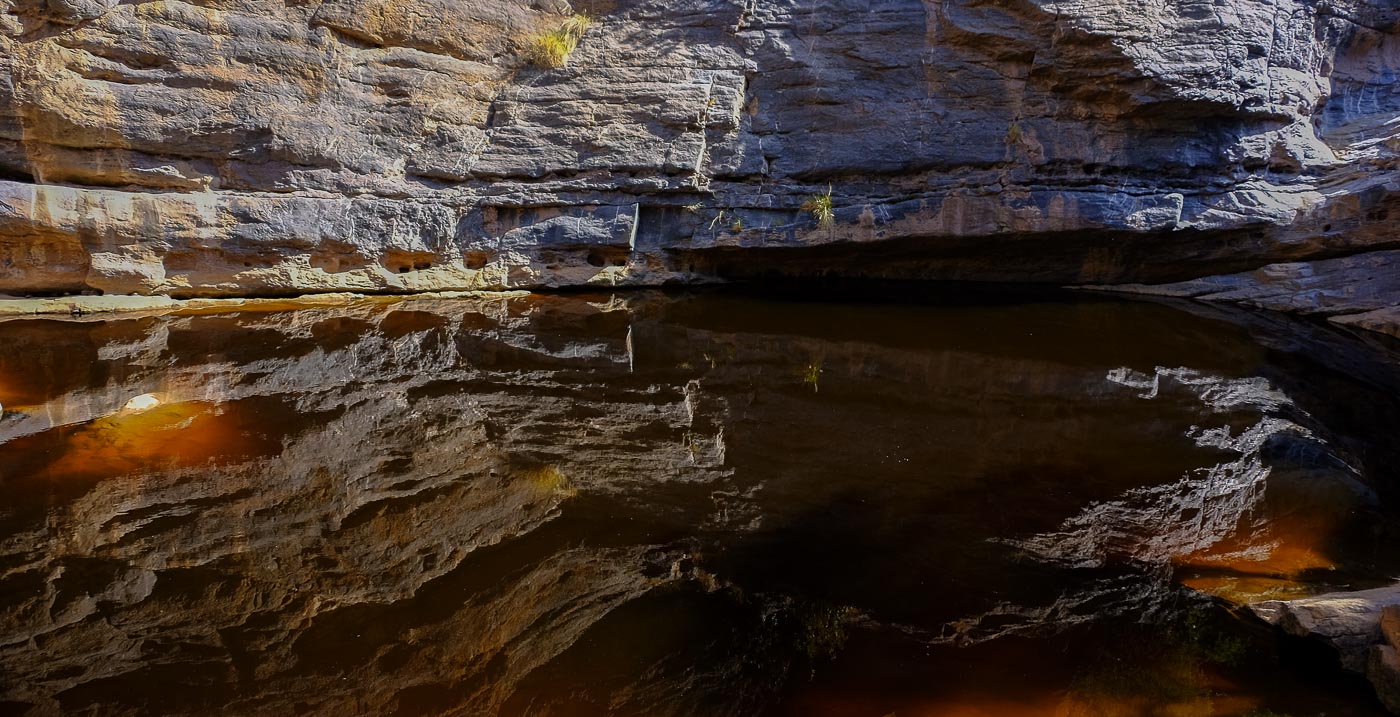
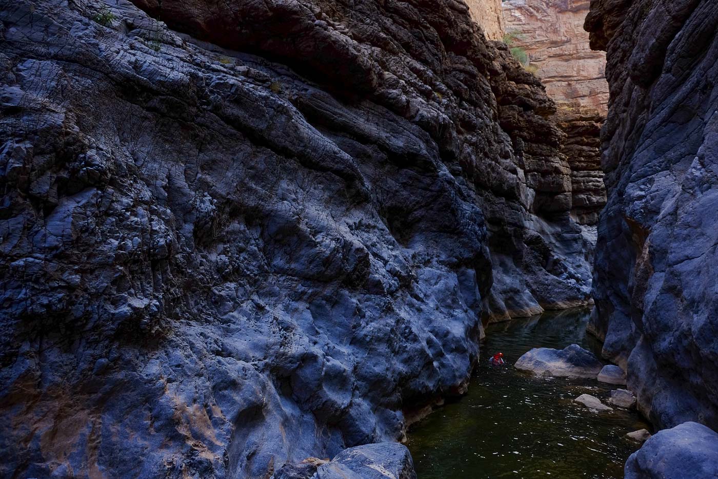
South-facing, the canyon is aquatic throughout, with numerous swimming pools and reaches. Many waterfalls are avoidable or passable, with jumps between 3m and 7m. 5 abseils, 3 of them compulsory, the highest under a 25-meter waterfall. All belays are equipped on 1 point, some with no ring or no quick link (to be provided). Wetsuits are preferable, even if the water is very pleasant in hot weather.
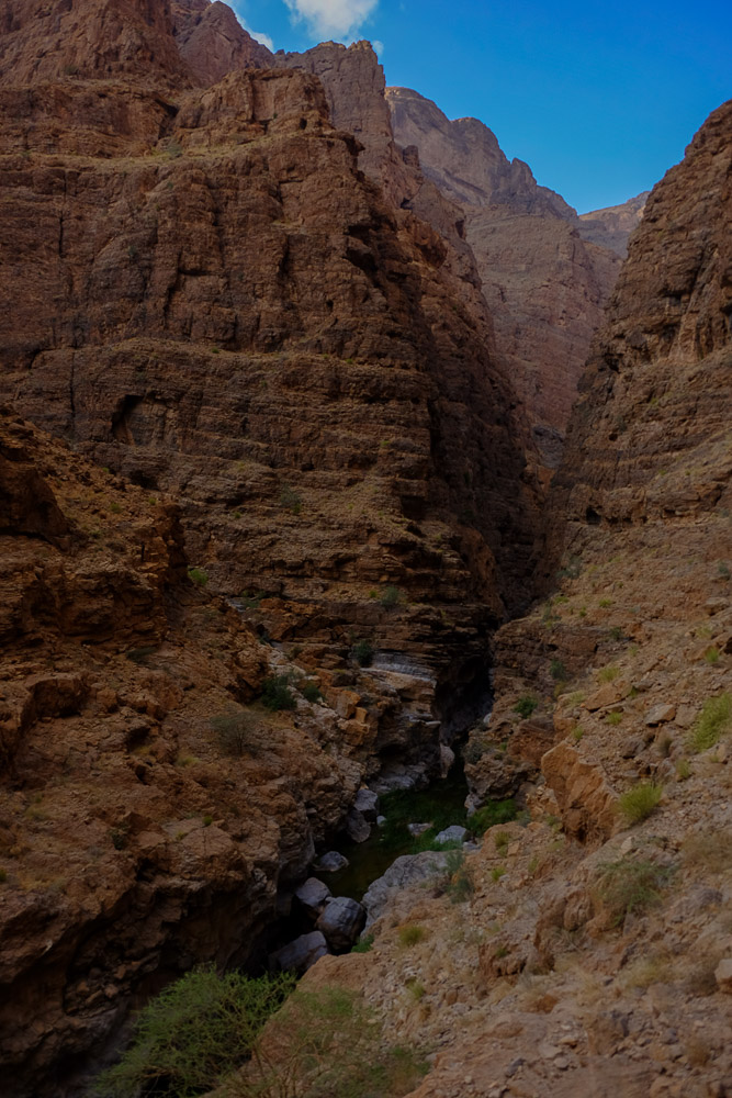
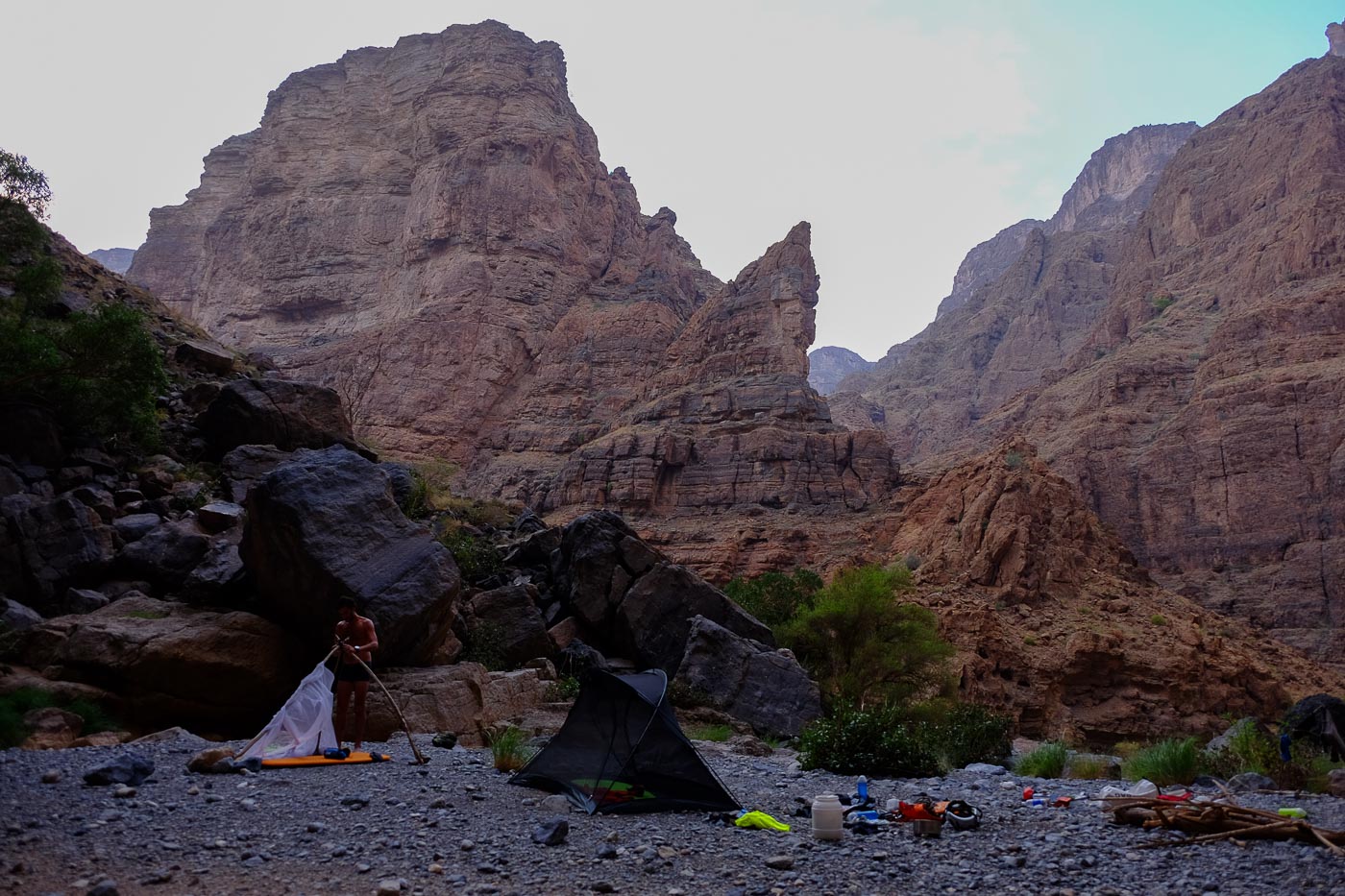
Allow around 8h for the descent from the start of the 1st abseil to the end of the aquatic section, including the bivouac under the large 120m waterfall of Aqabat El Biyout.
At the bend, where the water disappears, there's another 1h to 1h30 of walking in full sunlight, on gravel, to reach Wadi Tanuf and the junction with Wadi Qasheh.


Leave a Reply