


TOPO Canyoning | CLIMBING7.COM
Publié le
 Partager sur WhatsApp
 Partager sur Twitter
Partager sur Instagram
Partager sur Twitter
Partager sur Instagram

 Partager sur Facebook
 Imprimer le topo
 Laisser un commentaire

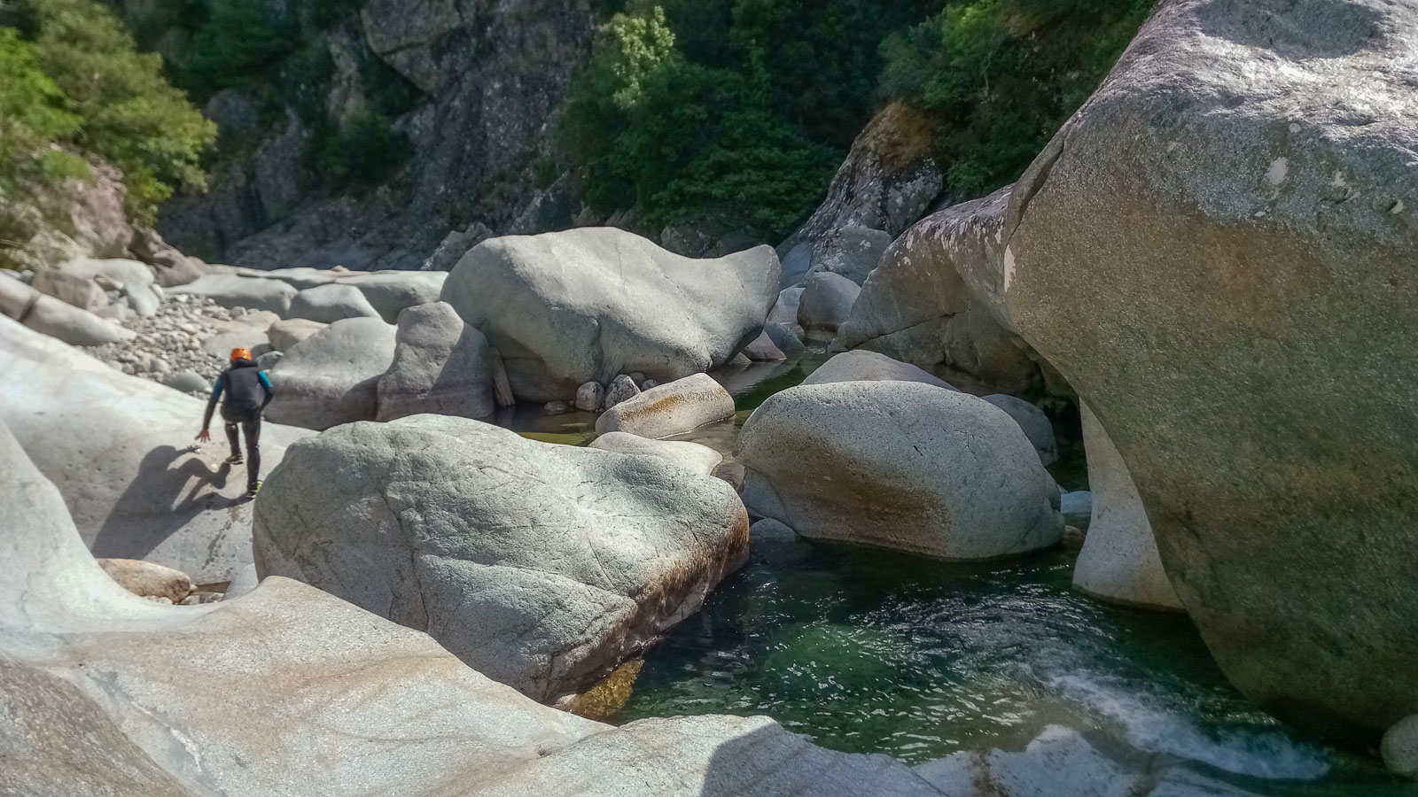
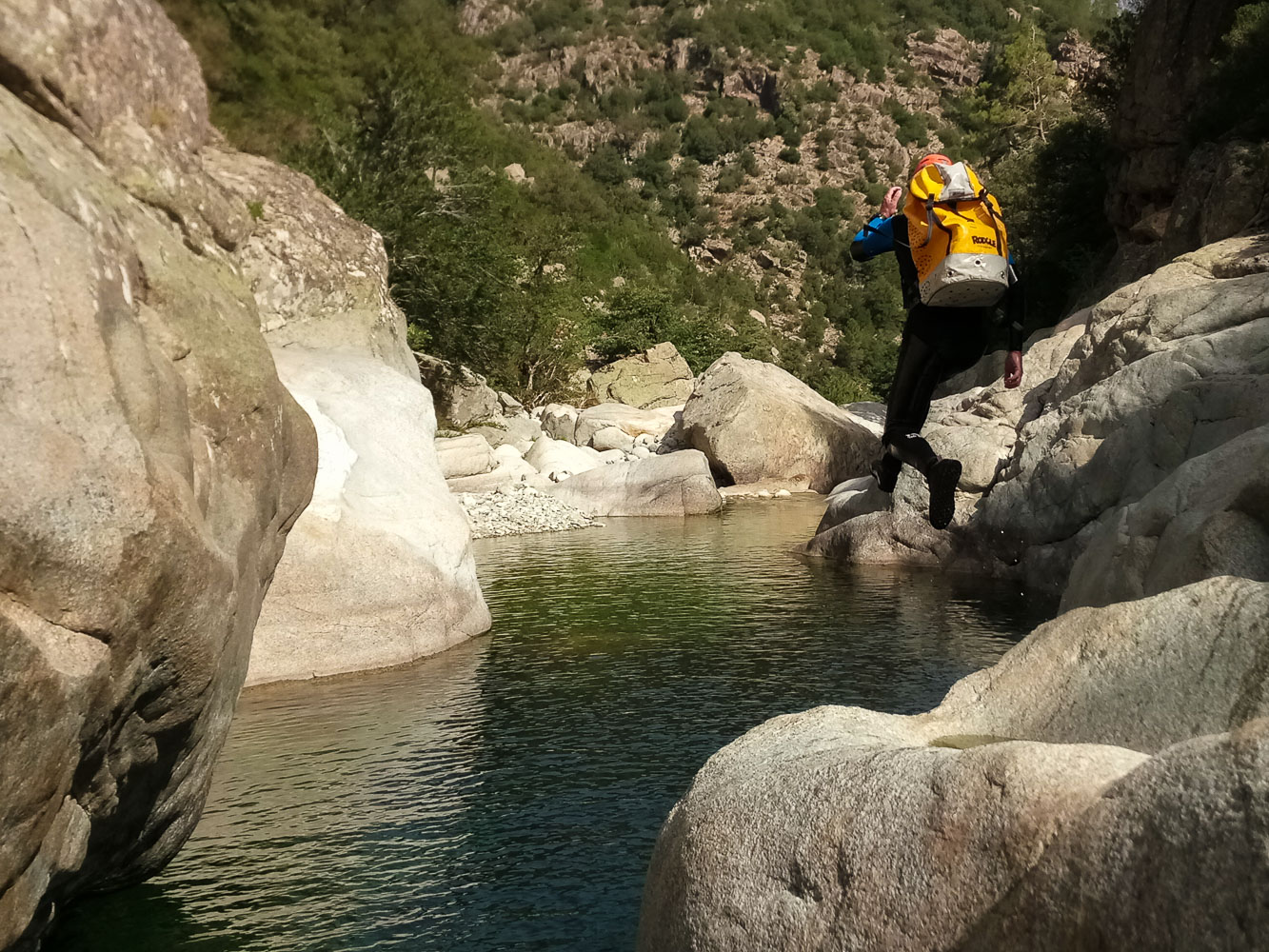
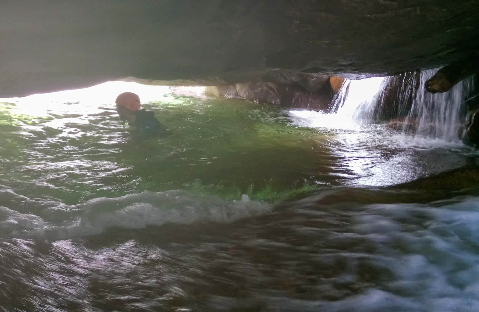
A little lost above Corte, the U Vechju or Vecchio torrent offers a beautiful and wild aquatic hike with no difficulties or obstacles apart from its length, which still requires between 4 and 5 hours of descent without hurrying. In summer, with a bit of altitude, a route largely under vegetation and the presence of quite a lot of water, plenty of places to jump into translucent pools, a few easy descents or siphons, everything comes together for a great, fun descent in a splendid natural setting.
❱❱ Technical summary
Type ✦ Water canyon
Location ✦ Vivario
Region ✦ Haute Corse
Country ✦ France
Length ✦ 4,5km
Difference in altitude ✦ 230m
Difficulty ✦ v1-a4-III
Max recall ✦ none
Duration ✦ 5h to 6h
Interest ✦ ★
❱❱ Access to the place
On the road from Corte to Ajaccio, pass the village of Vivario on the T20 towards the Col de Vizzavone. A few kilometers further on, before reaching the junction for Canaglia, turn right into a hairpin bend on a small street that runs straight down the side of a vacation resort. Park there, on the opposite side, under the woods.
❱❱ Map & topo
❱❱ Itinéraire
Descend and cross the railroad line, then continue along the path to a road. Turn right, walk on the asphalt, pass a bend to the left and further on fork right down a wide, obvious path that leads down to the bed of the Vecchio torrent.
Approximately 5km downhill for 230m of vertical drop. You don't need any equipment apart from a wetsuit, because even in summer the water is cool and you spend a lot of time in it. It's essentially a walk interspersed with water passages. There are a few boulder passages to be climbed without too much difficulty, some nice jumps that are not compulsory and a few siphon passages to discover.
Pass under the 2 bridges and easily find a path on the right that leads up to the 2nd bridge and a parking lot below the T20. Return to the starting parking lot by hitchhiking or, if possible, with the second vehicle.


Leave a Reply