


TOPO Hiking | CLIMBING7.COM
Publié le
 Partager sur WhatsApp
 Partager sur Twitter
Partager sur Instagram
Partager sur Twitter
Partager sur Instagram

 Partager sur Facebook
 Imprimer le topo
 Laisser un commentaire

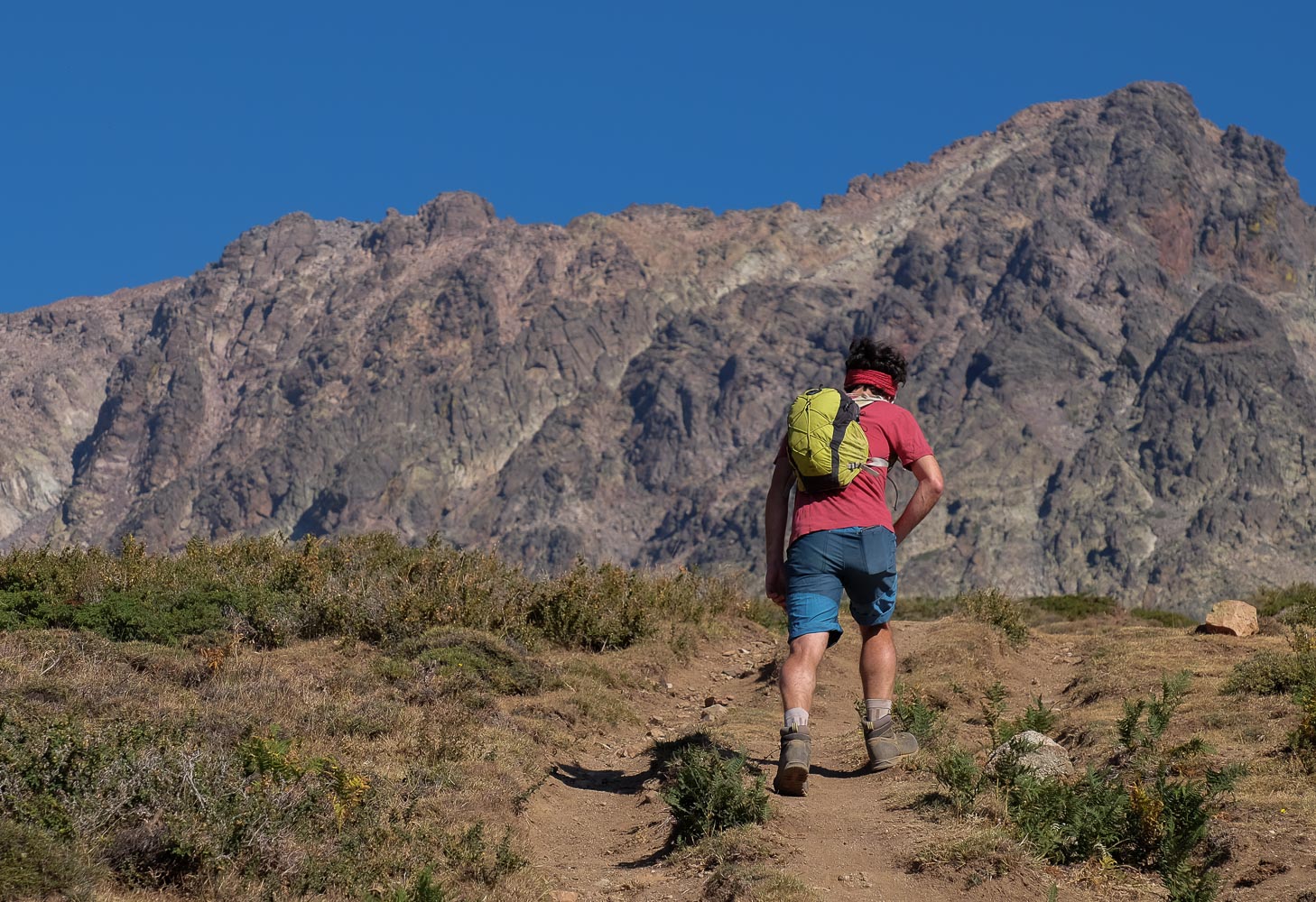
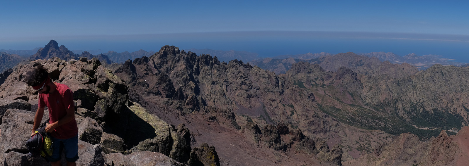
The 2-day hike, starting from Lozzi, climbs Monte Cinto from the south and continues along the scree ridge to join the GR20 and descend to the Tighettu refuge, from where we set off the following day to climb Paglia Orba. Monte Cinto, the 1st stage, is a fine climb, physically demanding but accessible, with a fine gradient and a 360° panoramic view of Corsica from the summit at some 2710m.
❱❱ Technical summary
Type ✦ Hiking
Location ✦ Lozzi
Region ✦ Haute Corse
Country ✦ France
Elevation gain ✦ 1800m
Difficulty ✦ D
Max altitude ✦ 2710m
Duration ✦ 7h to 7h30
Interest ✦ ★★
❱❱ Access to the place
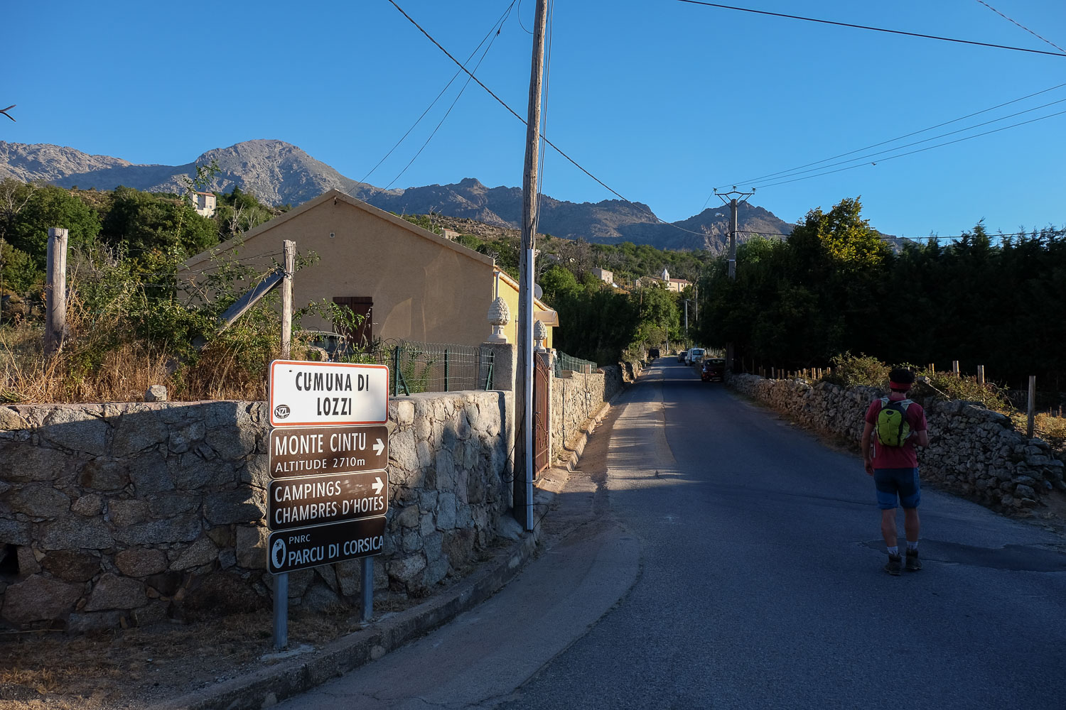
From Corte, head north on the T20 towards Porte Leccia. Just before Francardo, turn left onto the D84 to reach Lac de Calacuccia, in the direction of Col de Vergio. Continue on the D84 before forking right towards Lozzi. Go through Lozzi and continue up to the end, in the camping area. Park here and start the hike.
❱❱ Map & topo
❱❱ Itinéraire
Immediately. The trail to Monte Cinto is already signposted here, at the campsites, on the dirt track.
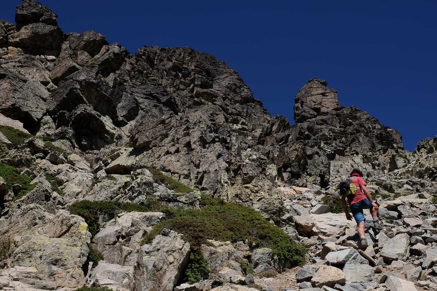
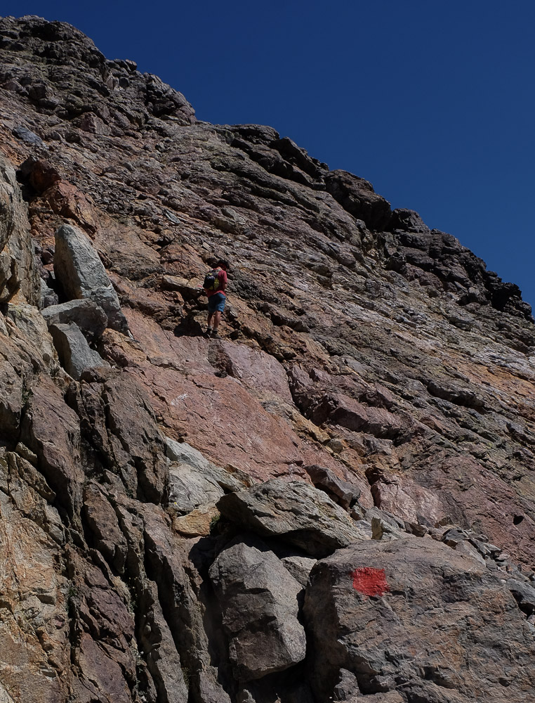
Quite a demanding route with 1800m of positive ascent for around 7h of hiking to reach Tighjettu. The route is fairly well marked on the way up, with cairns and orange dots at the start and red at the top. The return via the GR20 is easier. There are a few steps where you have to put your hands down to climb, mainly on the final part of the ascent to Monte Cinto.
Go round the campsite from the back on the track and just after, fork left at an angle onto a moderately marked path marked with orange dots. In fact, this trail will cut across the long switchbacks of the track that climbs almost as far as the refuge. At the end of the track, continue on a cairned path. You pass a sort of shoulder before heading back down to the refuge. Water available. We're at the foot of the climb, with over 1000m of vertical in front of us!
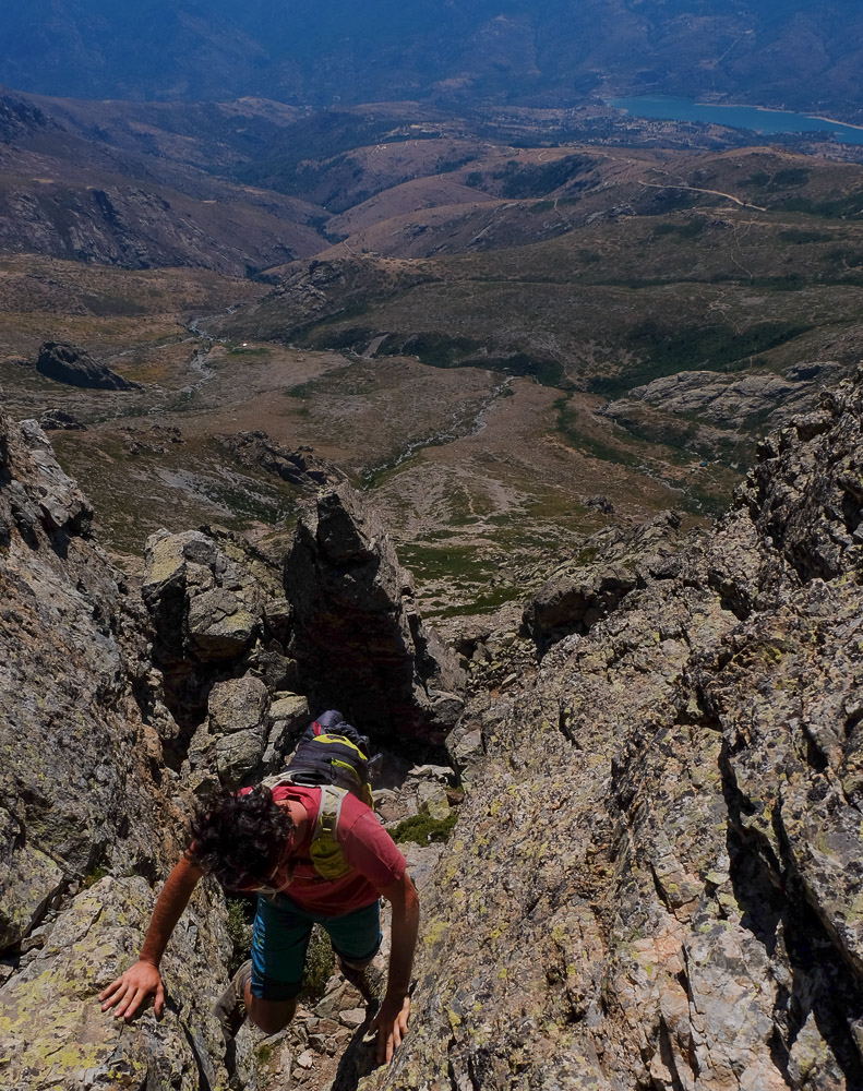
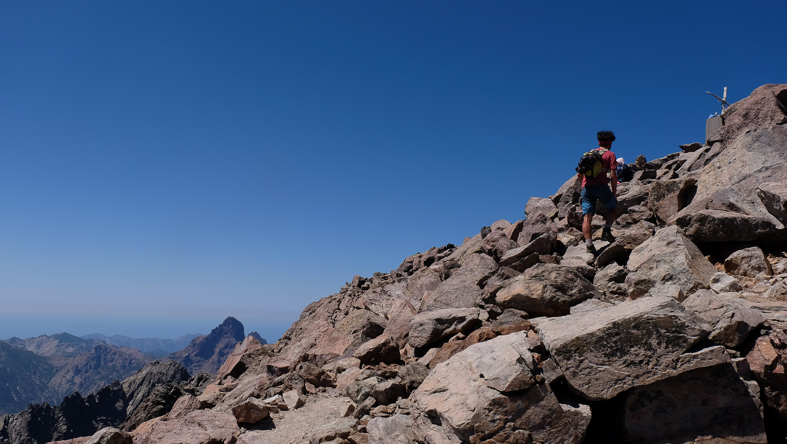
Exit to the right of the refuge and join a scree-like ramp leading to the rocky heights. Zig-zag laces, a steep slope and a 1st pass. The route continues steeply, with a few handholds, as you thread your way between pitons and other rock columns. A little before the summit, you reach the red-dotted path from the scree ridge on the left. Follow this path to the right, climbing steeply until you reach the summit. Spectacular panoramic view.
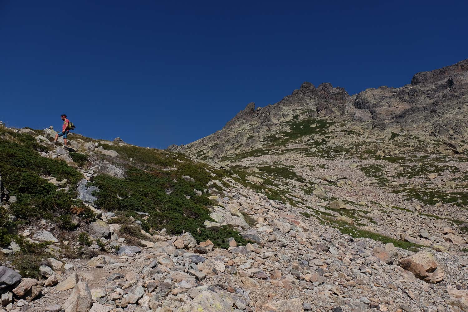
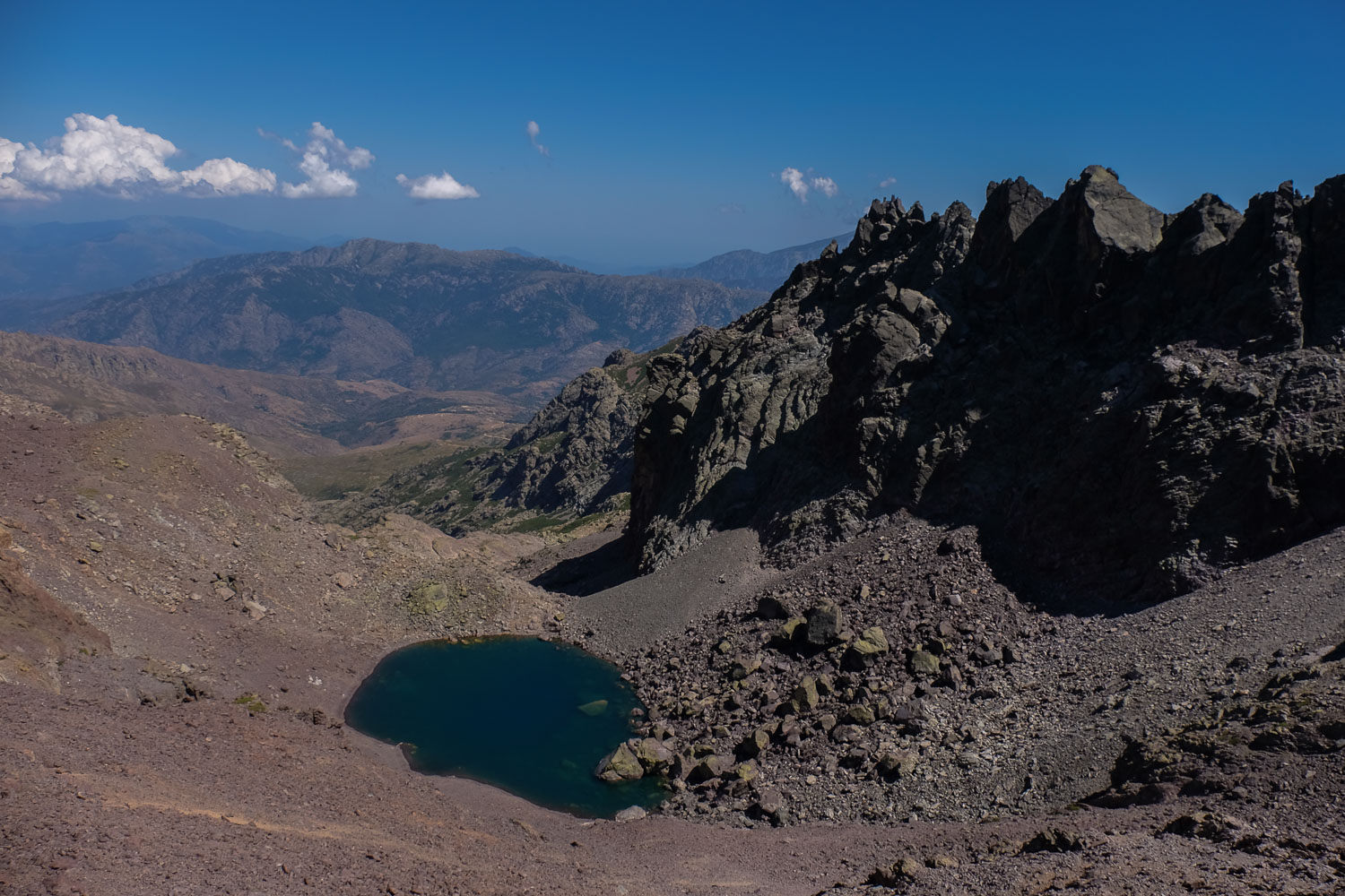
Descend from the summit of Monte Cinto following the red dots and continue towards the scree ridge. The path follows the rocky ridges, staying more or less at 2600m. At the end, there are no more red dots, so follow the white squares down to the left, without descending too far, to join the GR20. Take the GR20, continuing along the scree ridge and passing the small, deep-blue Lac Cinto.
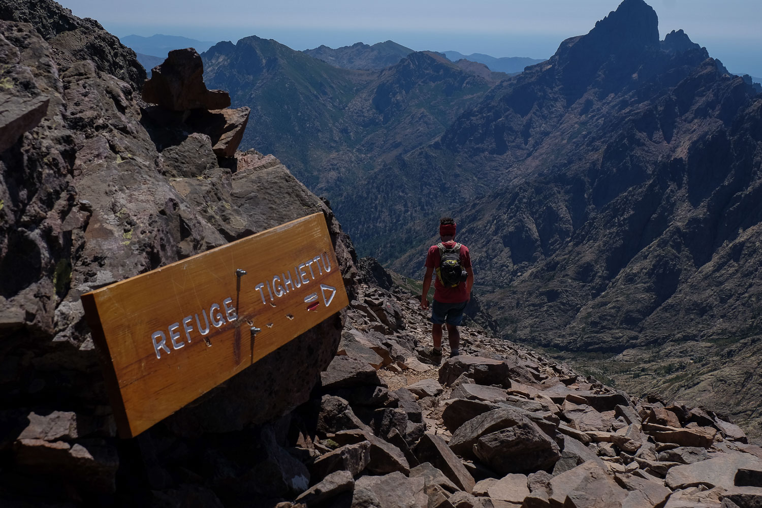
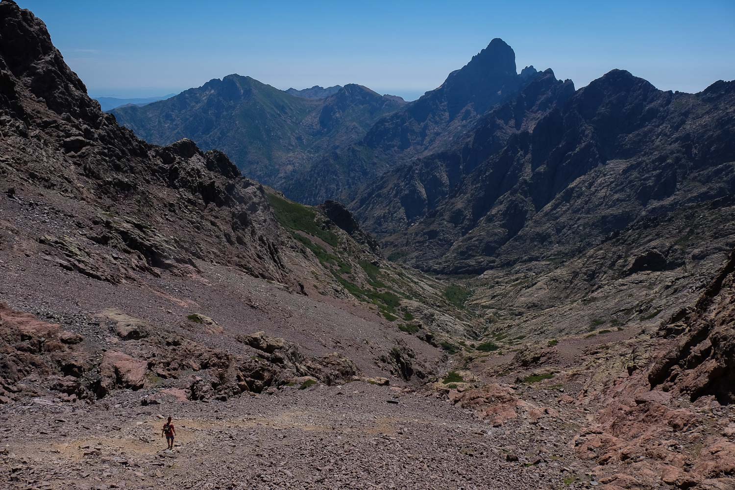
Further on, it climbs up to pass the Bocca Cruchetta at 2552m, from where the refuge can be seen at the very bottom of the valley. There's then almost 1000m of ascent to contend with, first on a steep scree slope, then on a path that crosses granite slabs. Fortunately, at the bottom there are springs to refuel. It's a long way to the Tighjettu hut. Sleep outside to avoid the infamous bedbugs...!


Leave a Reply