


TOPO Hiking | CLIMBING7.COM
Publié le
 Partager sur WhatsApp
 Partager sur Twitter
Partager sur Instagram
Partager sur Twitter
Partager sur Instagram

 Partager sur Facebook
 Imprimer le topo
 Laisser un commentaire

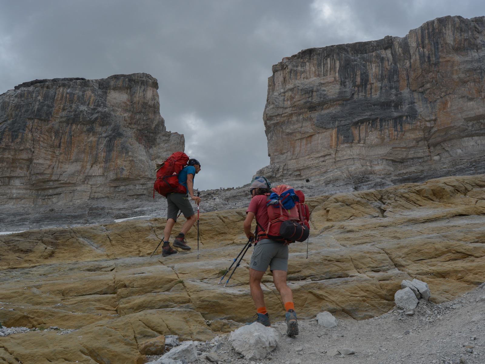
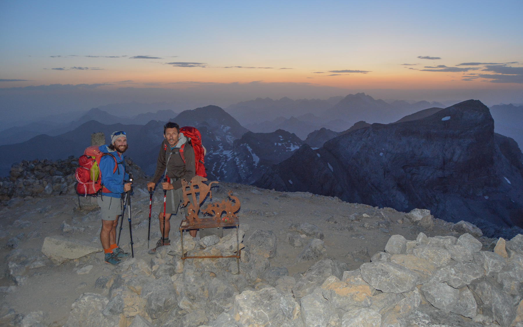
Departing from the Col des Tentes above Gavarnie, day 1 of the Ordesa National Park loop takes us over the Brèche de Roland, then due east over a system of fairly aerial switchbacks, ending with the ascent of Monte Perdido at 3355m, the 3rd highest peak in the Pyrenees. Even if we didn't follow the planned itinerary, which would have taken us higher up and over the Cirque de Gavarnie ridge, the route is absolutely exceptional. It was a big stage all the same, and a rather exhausting finish at nightfall to climb the wall leading to the summit of Monte Perdido, where we were able to bivouac in an unforgettable atmosphere!
❱❱ Technical summary
Type ✦ Itinerant trek
Location ✦ Ordesa Park and Monte Perdido
Region ✦ Aragon
Country ✦ Spain
Length ✦ 14km
Difference in altitude ✦ 1400m
Difficulty ✦ TD
Max altitude ✦ 3355m
Duration ✦ 8h30 to 10h
Interest ✦ ★★★
❱❱ Access to the place
From Tarbes, head for Lourdes, then on to Argelès-Gazost. From there, head for Luz-Saint-Sauveur. Continue to Gèdre, then Gavarnie, and climb above the ski resort to park at the final parking lot at Col des Tentes (2208m). This is the starting point for the Col de Boucharo loop.
❱❱ Map & topo
On the layout: Day 1 in yellow, Day 2 in blue, Day 3 in green
❱❱ Itinéraire
Follow the gently uphill track to the Col de Boucharo (2273m), visible from the parking lot. Here, the loop starts heading due east (left), and this is also where we'll be returning from Forquete de Gabietou on Day 3.
It's an obvious route up to the Brèche de Roland, but more complicated on the Spanish side as there are no markings to help you follow the right path and there are many options... Which explains our misdirection when we climbed up to take the ridge. It's probably best to refer to the contour lines to make sure you're in the right place (in addition to GPS tracks or the paper map). 2 passages equipped with chains but without difficulty, a few aerial sections not too exposed and places where you have to put your hands down to climb easily.
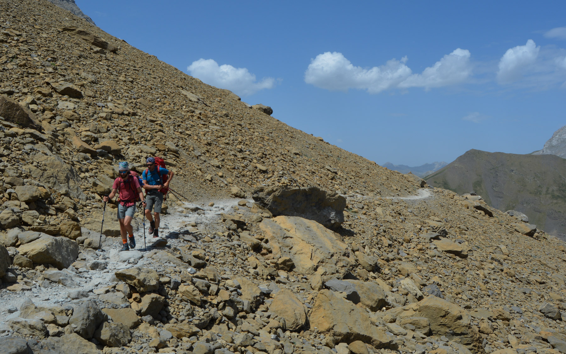
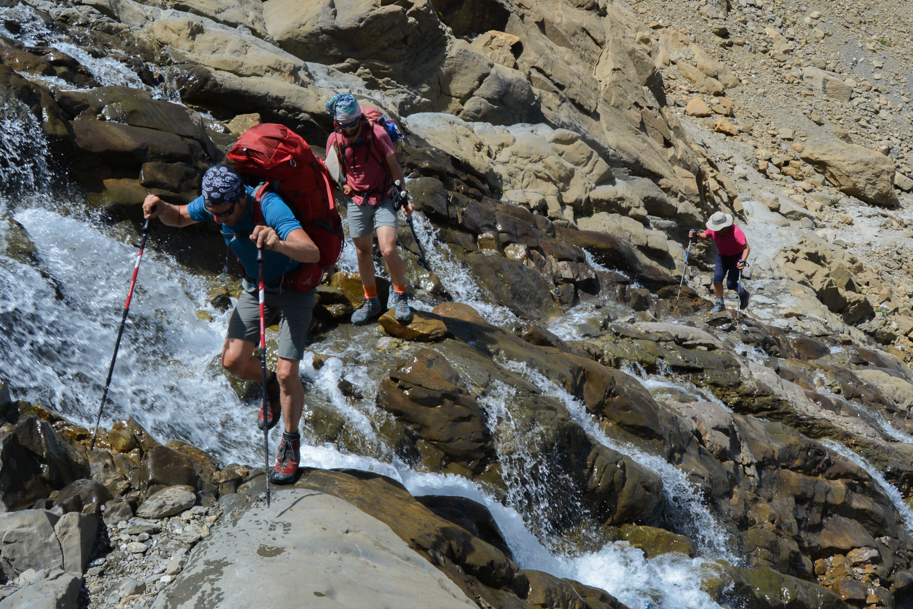
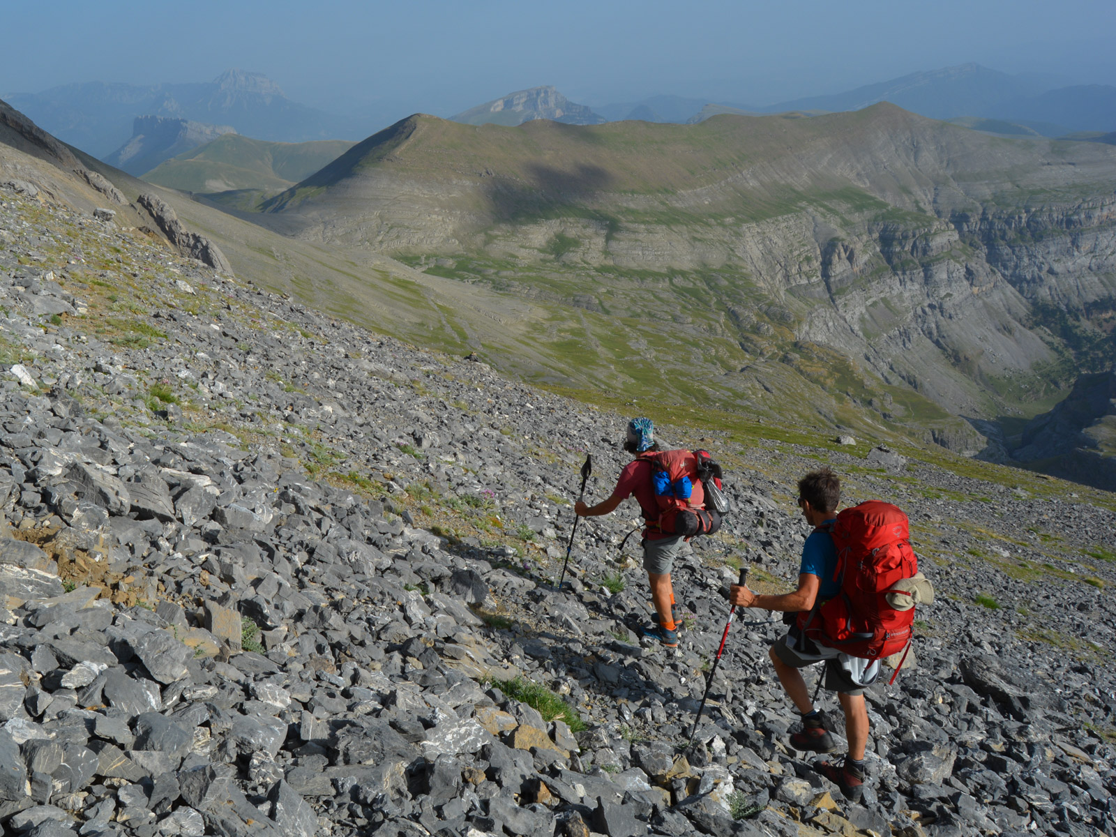
From the Col de Boucharo, take the well-marked path that climbs due east and crosses the flank opposite the approach trail. Without having gained much elevation, the path eventually climbs up to pass a wide, beautiful waterfall, and rushes through the only natural passage that allows you to cross the walls. The path climbs steeply, leading to the foot of a pretty cirque with a persistent névé, before finishing higher up at the Col des Sarradets, which gives access to the Refuge de la Brèche and a spectacular view of the Cirque de Gavarnie.
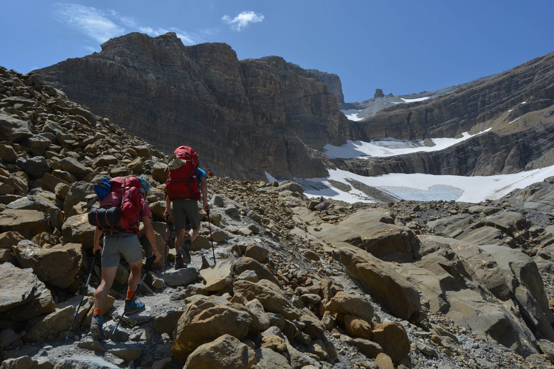
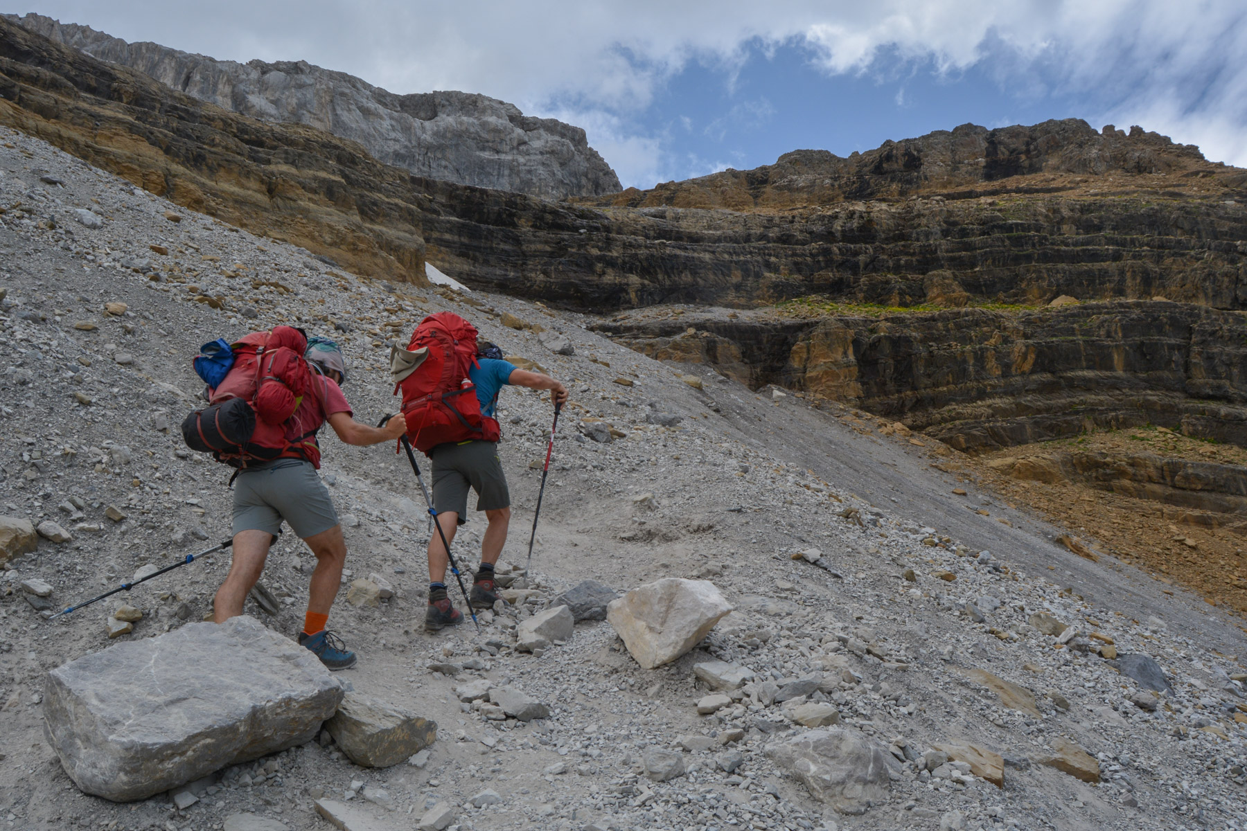
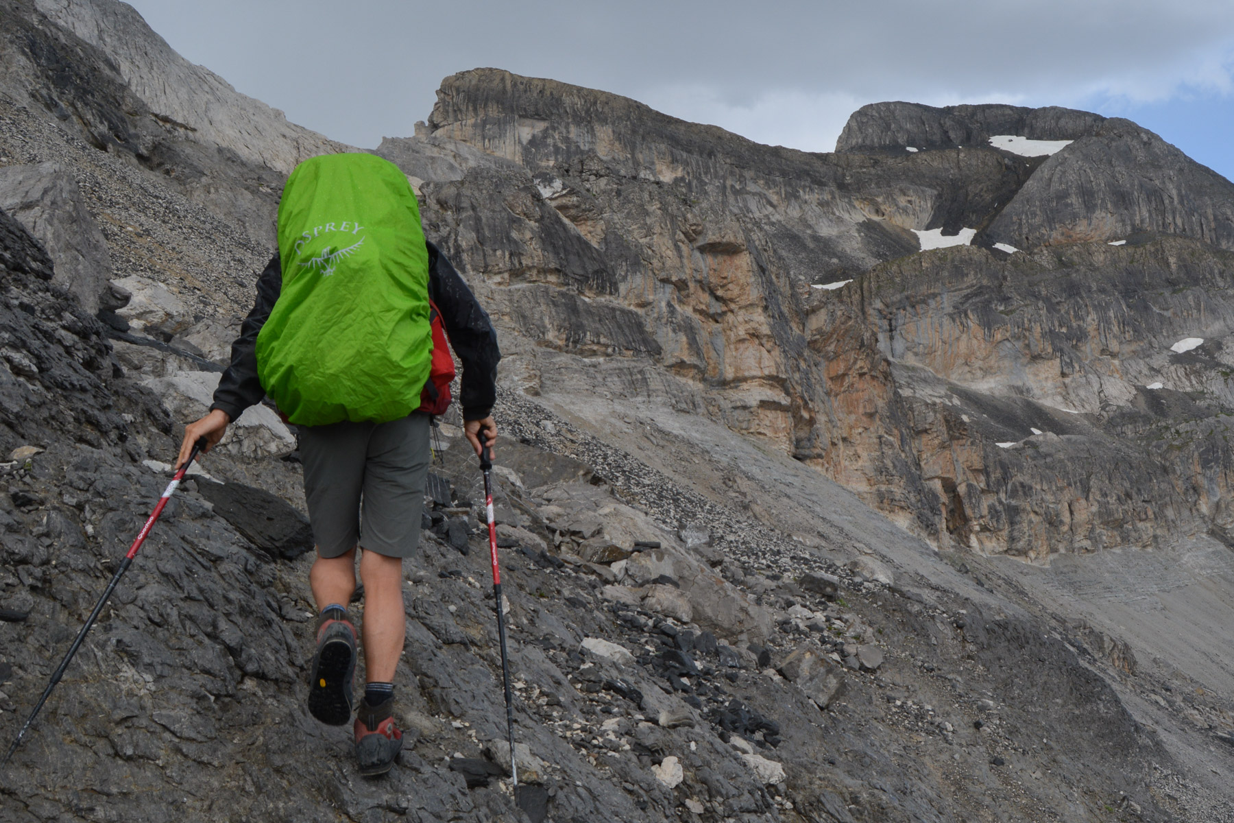
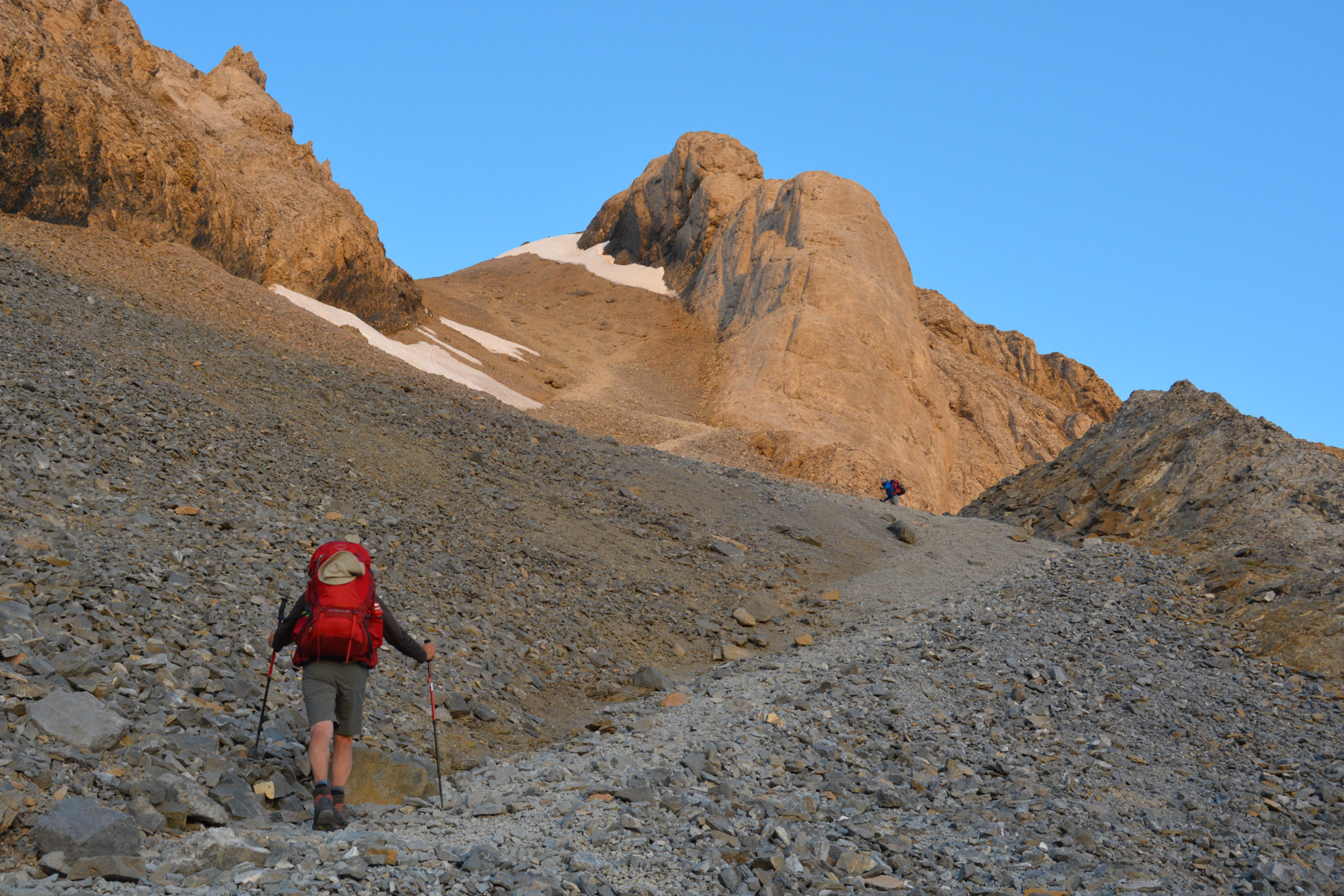
Pass in front of the refuge and attack a ridge on a large scree slope that climbs steeply. Higher up and fairly quickly, you reach a basin below the Brèche. All that's left to do is cross the névé and do a few scrambling steps to reach the Brèche, an impressive frontier and natural gateway to Spain and Ordesa Park.
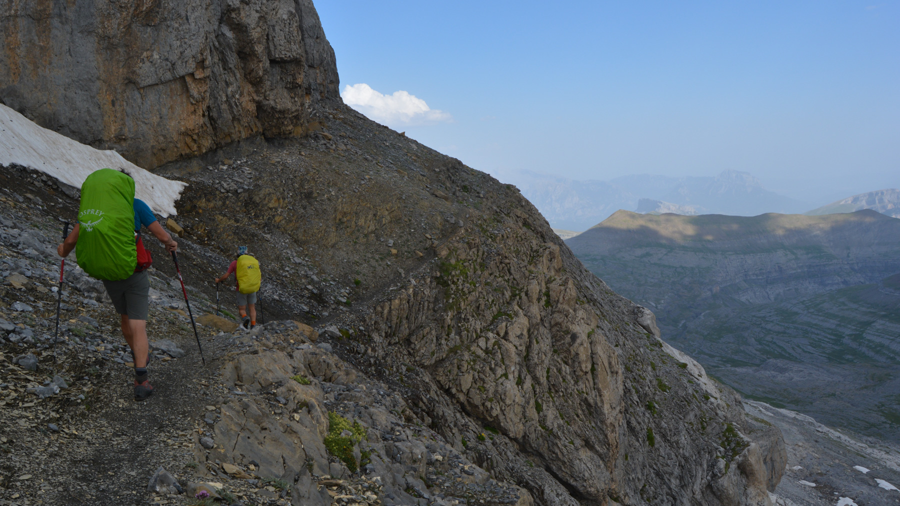
Descend on the Spanish side, skirting the base of the wall to the east and quickly passing a small section of traverse equipped with chains. Then descend a little to finally head east again towards an obvious shoulder below the Casque du Marboré.
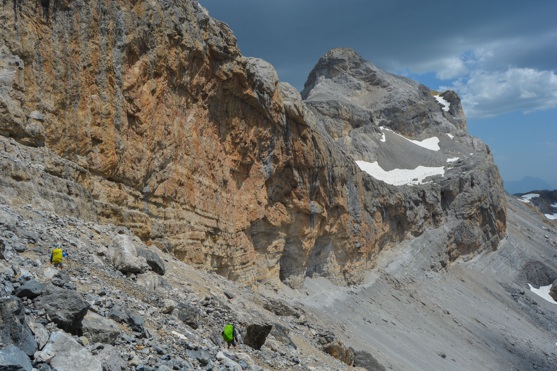
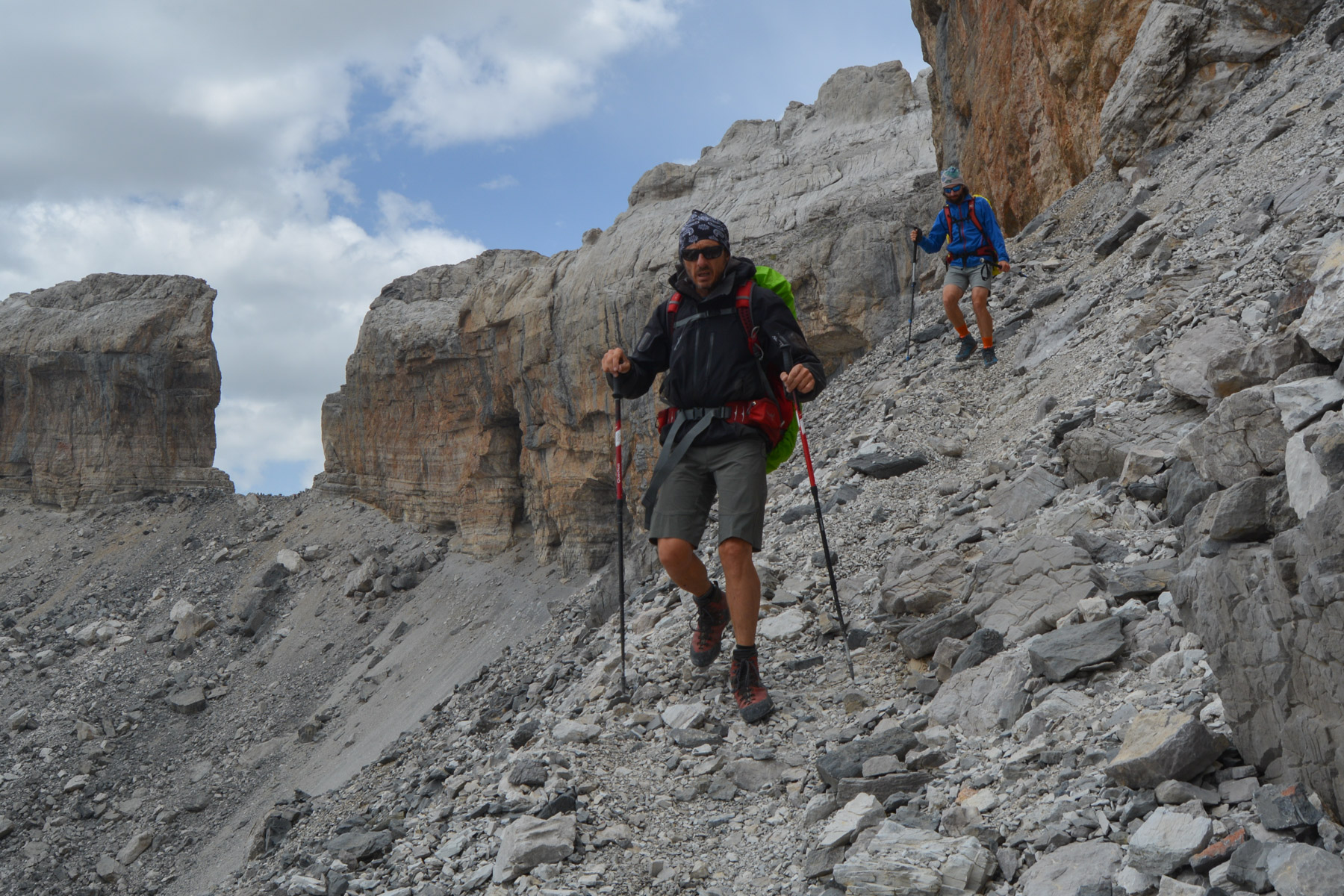
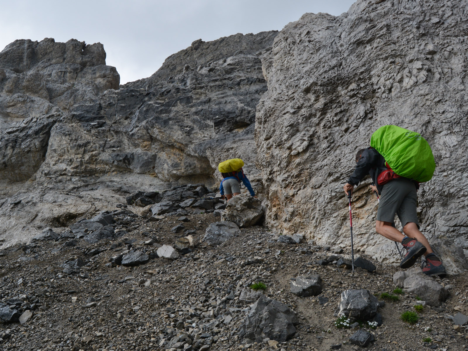
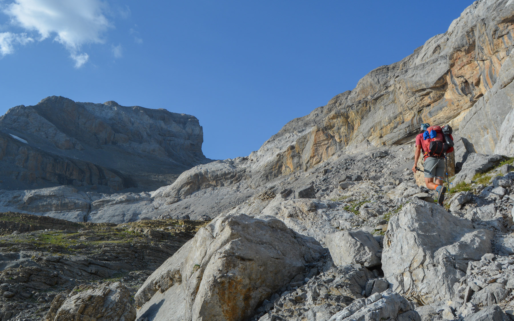
At this point, don't descend, but take the path to the left (north) which climbs up into the scree, then passes behind a large boulder to reach a wide upper ledge. Follow the cairned path to the east (it's possible that we missed the path that climbs even higher to reach the crest).
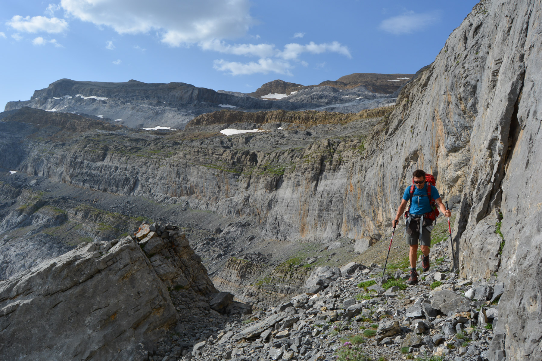
Continue on this ridge, which rises and then undulates for a while, before dropping down a little and passing the edge of a lower wall (above you can see another wall where the upper path must be). It's quite long, but goes all the way to the end without difficulty, with a narrower path further on, a passage behind a huge boulder leaning against the wall and then, after a rounding bend, you finally join the normal path from the Goriz refuge. As the traverse progresses, the summit of Monte Perdido to the east comes into view, and we end up at its feet.
Climb on the main path, which first crosses a large boulder chaos before rising in open terrain to cross a first wide white waterfall on the right without difficulty. Above this, we reach a second, lower waterfall, which we cross again on the right with a mini-section equipped with chains, but without any further difficulty. The route climbs further down to reach a 3rd wall to climb (II/III) and then the lago gelado, in a basin below the Cylindre du Marboré. Break and refreshments. Bivouac possible here.
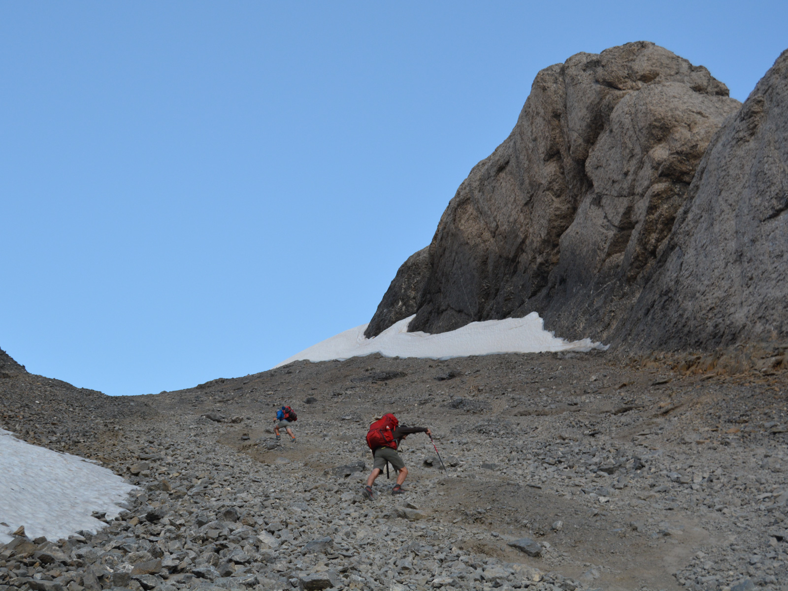
All that remains is a frontal attack on the summit, visible from the lake, and the final section in a narrow couloir. 350m of direct ascent, starting on a rocky ridge, a more slabby section to climb (II) to pass to the right of the névé, then the mega-steep path that climbs up in the middle of the Escupidera stone couloir to reach first a flat area and then quickly the summit at 3355m. Exceptional 360° views, 3 orris for bivouacs.


![2017-05-17_11-36-31 [Pic du Carlit]](https://climbing7.com/wp-content/uploads/2017/05/2017-05-17_11-36-31-pic-du-carlit-e1580125390601-1024x682.jpg "Pic du Carlit, Eastern Pyrenees")


Leave a Reply