


TOPO Hiking | CLIMBING7.COM
Publié le
 Partager sur WhatsApp
 Partager sur Twitter
Partager sur Instagram
Partager sur Twitter
Partager sur Instagram

 Partager sur Facebook
 Imprimer le topo
 Laisser un commentaire

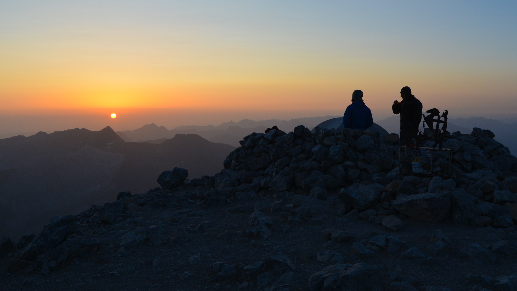
From the summit of Monte Perdido, day 2 of the loop takes us down into the Ordesa canyon on the south side, where we follow a first pitch dominating the valley and then, after crossing the Cotatuero cirque in a grandiose setting, a second, literally suspended on the wall, with hundreds of meters of emptiness just a few steps from the path, the Faja de los Flores. A lot of vertical drop on this stage, but once again an incredible panorama all the way, particularly in front of and on this mini vire des fleurs, which fully deserves its reputation. If you're sensitive to vertigo, don't do it, or stick to it for some high-flying therapy! At the exit, a new royal bivouac with grass, spring water and a tribe of not-so-shy isards.
❱❱ Technical summary
Type ✦ Itinerant trek
Location ✦ Ordesa Park and Monte Perdido
Region ✦ Aragon
Country ✦ Spain
Length ✦ 20km
Negative altitude gain ✦ 1770m
Difficulty ✦ D
Max altitude ✦ 3555m
Duration ✦ 8h30 to 10h
Interest ✦ ★★★
❱❱ Access to the place
The loop having started from the Col des Tentes (see previous post), day 2's itinerary starts from the summit of Monte Perdido, site of the 1st bivouac.
❱❱ Map & topo
On the layout: Day 1 in yellow, Day 2 in blue, Day 3 in green
❱❱ Itinéraire
This second stage is longer in distance, has a large negative altitude difference and above all a very aerial sequence on the Faja de los Flores, without any particular difficulty but really just a few steps or, in places, 1 step away from the great void. The route is clear and well-marked all the way to the Goriz refuge. The itinerary for the 1st vein has obviously been abandoned, because although the route exists on the maps, you have to navigate with the altimeter to reach it and get onto the right vein. The crossing of the Cotatuero cirque to the Faja de los Flores can be done on sight, as it's logical, with a more or less cairned path.
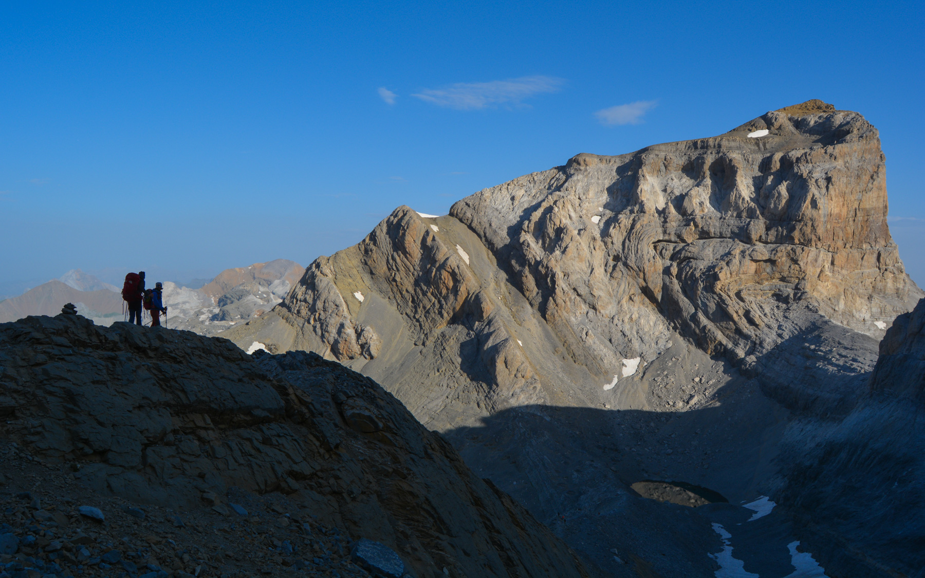
The descent from the summit down the couloir and ridge to the frozen lake is easier than the ascent, then back onto the main path, past the equipped section, the waterfalls, the chaos to reach a small unclimbed passage (no III+) to get back on the main path that will drop down to the Ordesa canyon to the south.
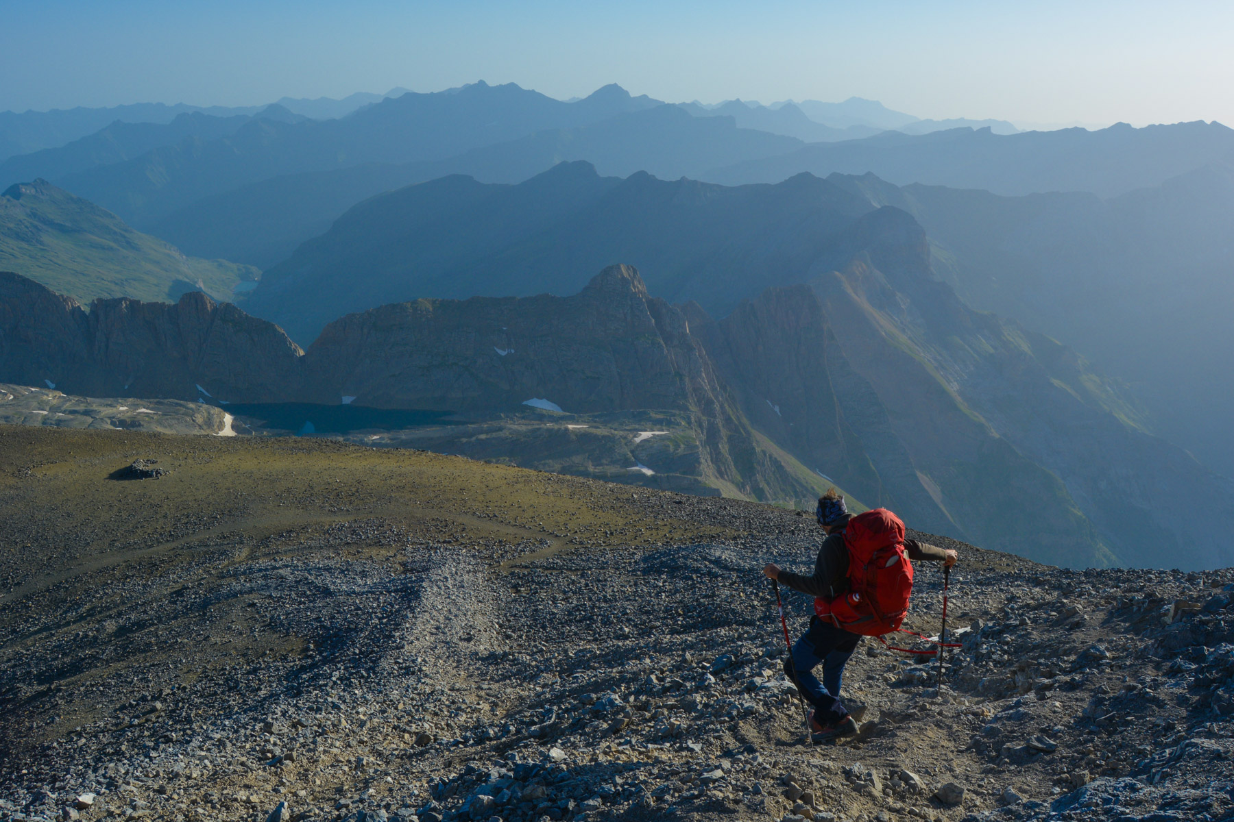
After a big drop in altitude (almost 1200m!), we land in the basin of the cirque de Goriz, where the refuge is located at 2180m. From here, looking at the opposite side of the canyon as it begins, you can spot the route to be found (second from the top, the widest with a thin line of rock in the middle) and the waterfall that will serve as a landmark when you get there.
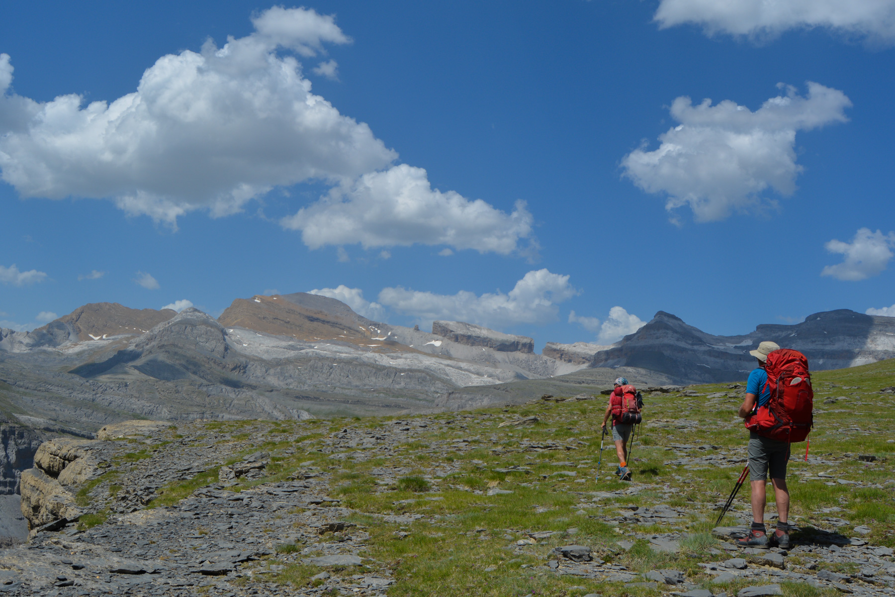
From the refuge, set off again on sight, staying more or less level, towards the bottom of the cirque to bypass the main waterfall and pass on the opposite side. There is some rocky terrain, but it's easy to find your way around. Once on the other side, head back south and climb gently to around 2150m or 2160m. A trickling waterfall (see photo) proves that this is the right route. Then continue without climbing to start a big bend on the grassy ridge that follows the curve of the canyon's beginning. No path.
The rest is fairly straightforward, as you follow this very wide ledge, which stays at this altitude for a while before gradually climbing. In fact, there's a small path that appears in places and disappears where nature has grown back. The route hugs the curves of the cliffs and you pass close to the rim to admire the splendour of the canyon from above.
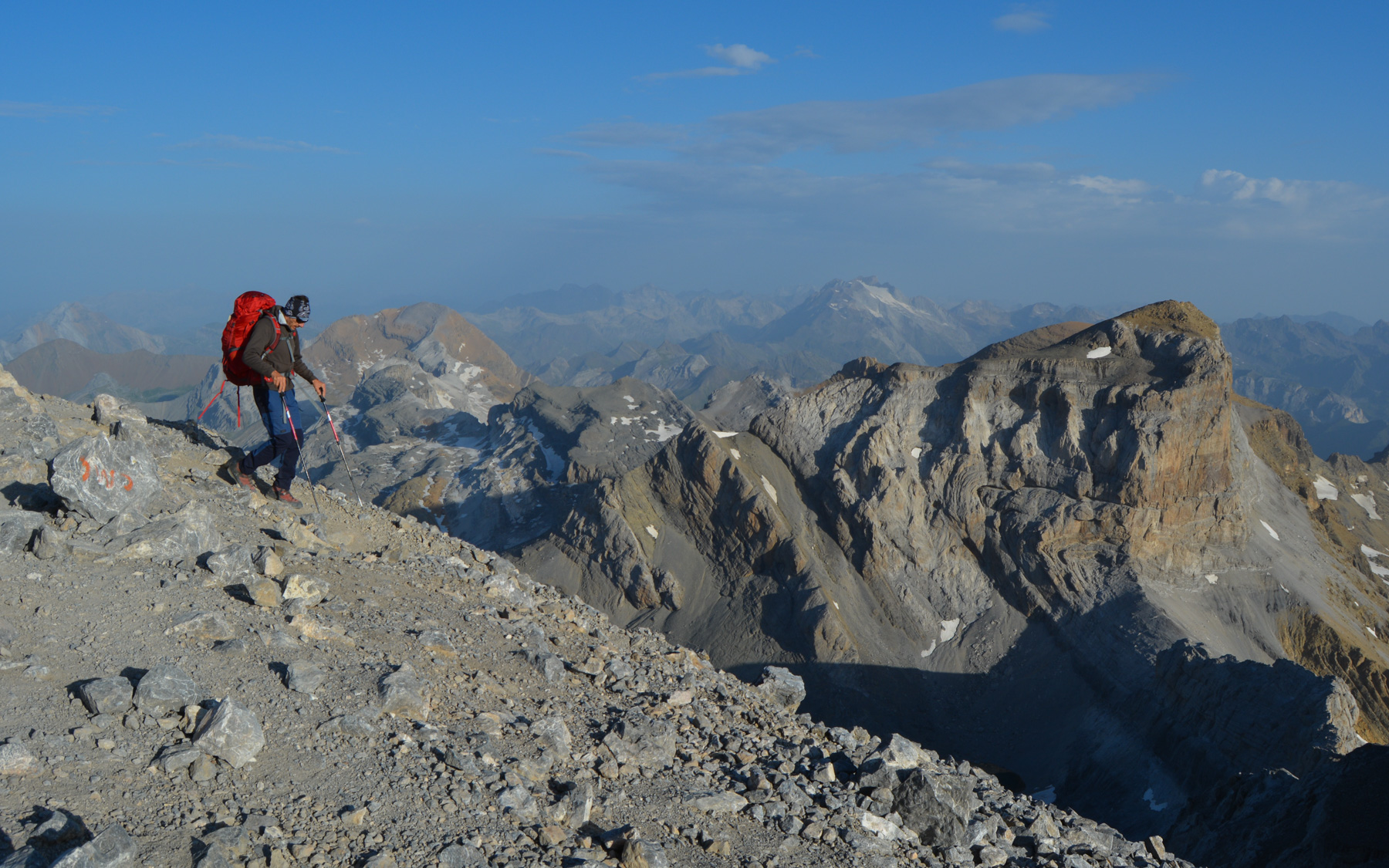
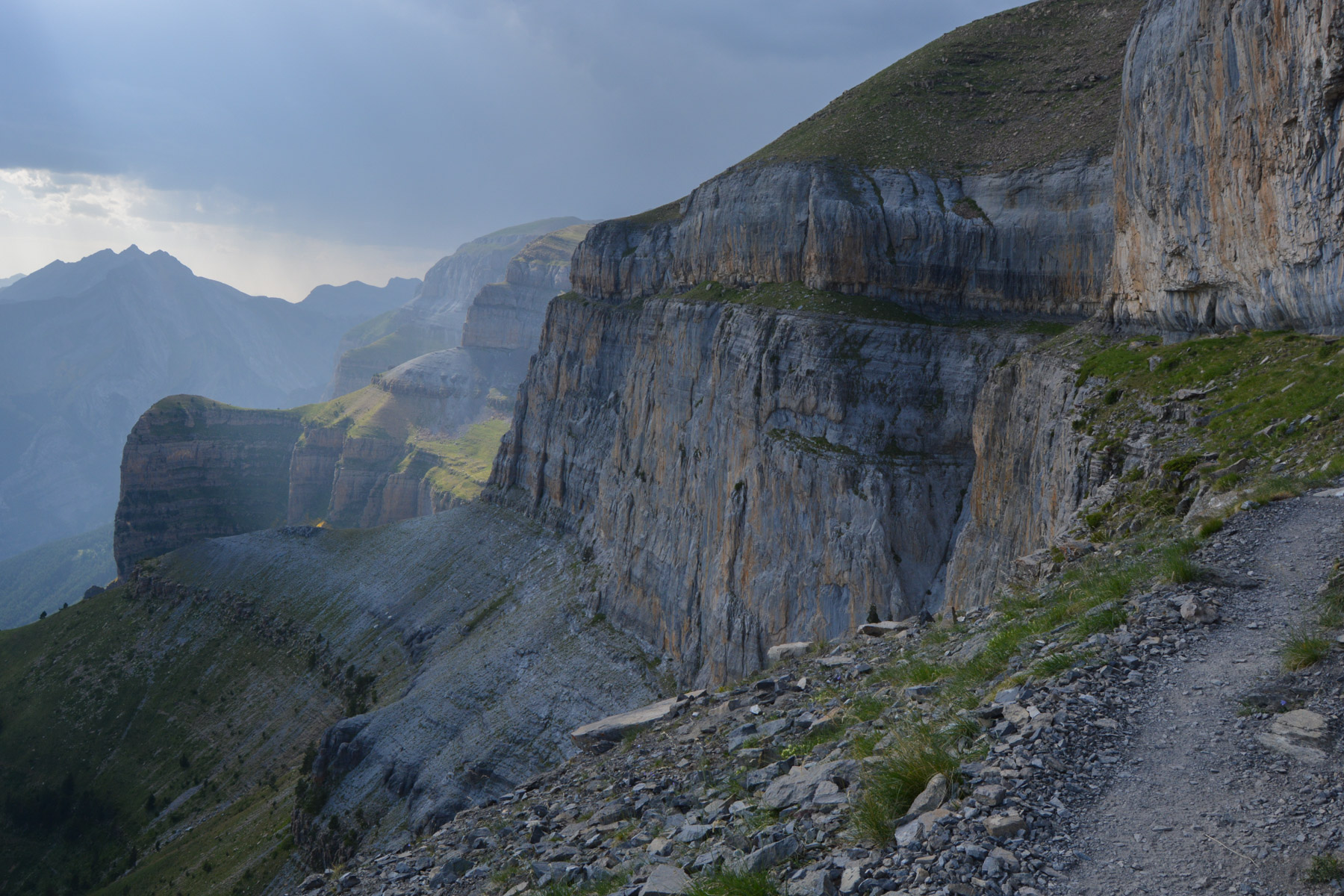
Halfway along, the trail follows a wide slope, then climbs again until you reach a large grassy flat and discover the section of cliffs where the Faja de los Flores can be found, on the other side of the Cotatuero cirque (see photo). Very impressive! You can clearly see the access to the vete and the mini vete at the top of the walls and under the ridge, which looks totally impassable from here...
This is the transition section to cross the Cotatuero cirque and reach the Faja de los Flores on the opposite side. The route is fairly straightforward, and can be seen from the top overlooking the cirque: simply walk all the way around from east to west, then climb up a little to take the opposite side's access ridge to the Faja.
Follow the path due north, with the Brèche de Roland on the horizon, and cross a wide shoulder (with a view of the whole cirque) before descending diagonally to reach the top of the cirque on the east side. Follow the marked path, staying level. You pass a large grassy flat, La Plana, at around 2300m.
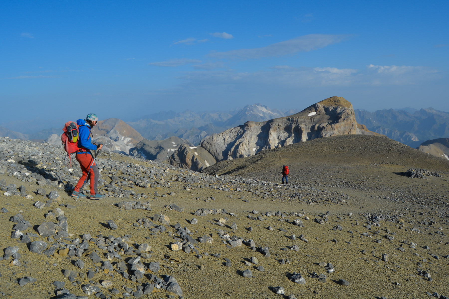
Continue upwards, this time following the cairns to the west. Further on, as you approach the access ridge that lies a little lower down in the middle of the cirque, you can either continue on the main path, which will take a good detour before coming back to the end of the ridge (see marked path), or at a certain point, the cairns indicate a path that will cut off to the south and descend slightly to end up on the access ridge, which you will have to climb up to the end without difficulty.
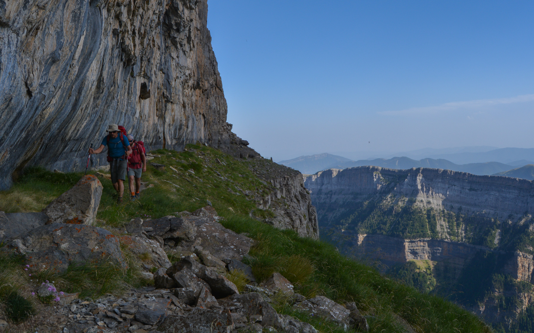
Finally, after a good while, we find ourselves exactly on the other side of the viewpoint we had when arriving from the 1st ledge, and the path becomes more aerial. Once again, we overlook the Ordesa canyon, and the turn begins, heading off in a generally westerly direction.
This is an obvious route, as there is no other option than to follow this tiny path along the side of the wall. The 1st section is narrower and more impressive than the second, where the path is a little wider and in places sheltered by a rocky half-ridge. It's not difficult, the path is level and flat, but sometimes you find yourself less than 1m from the void.
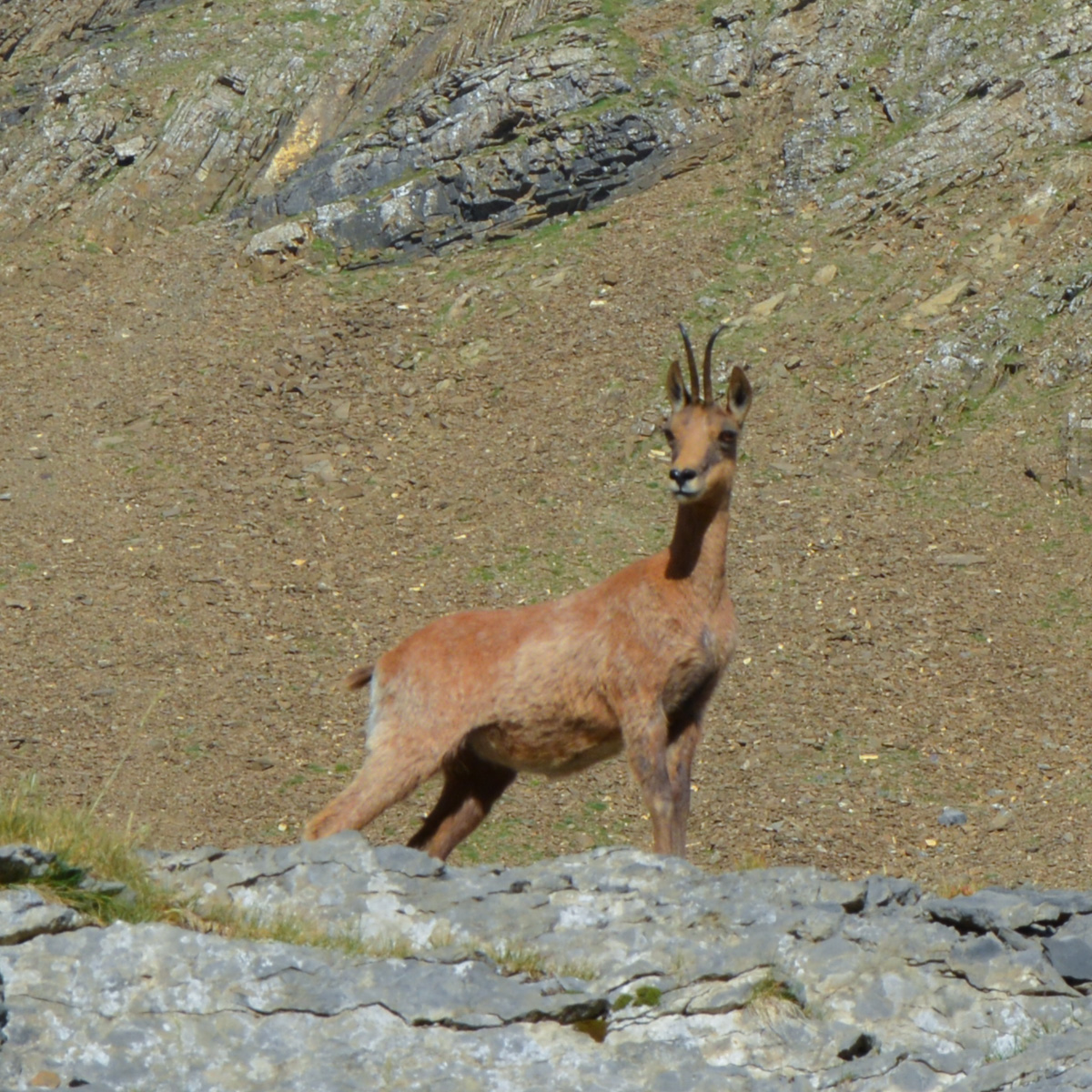
With virtually no change in altitude, the route follows and hugs the cliff's overhangs and underhangs. The views are spectacular all the way. You may even come across marmots and isards. After about an hour, the exit is visible at the top of the cirque de Salarons. Once out of the cirque, follow the path back due north to find almost immediately the grassy esplanade of Aguas Tuertas, an ideal place to bivouac, among the isards and with a small water source at your disposal (cairn on a rock at the bottom on the east side).


Leave a Reply