


TOPO Hiking | CLIMBING7.COM
Publié le
 Partager sur WhatsApp
 Partager sur Twitter
Partager sur Instagram
Partager sur Twitter
Partager sur Instagram

 Partager sur Facebook
 Imprimer le topo
 Laisser un commentaire
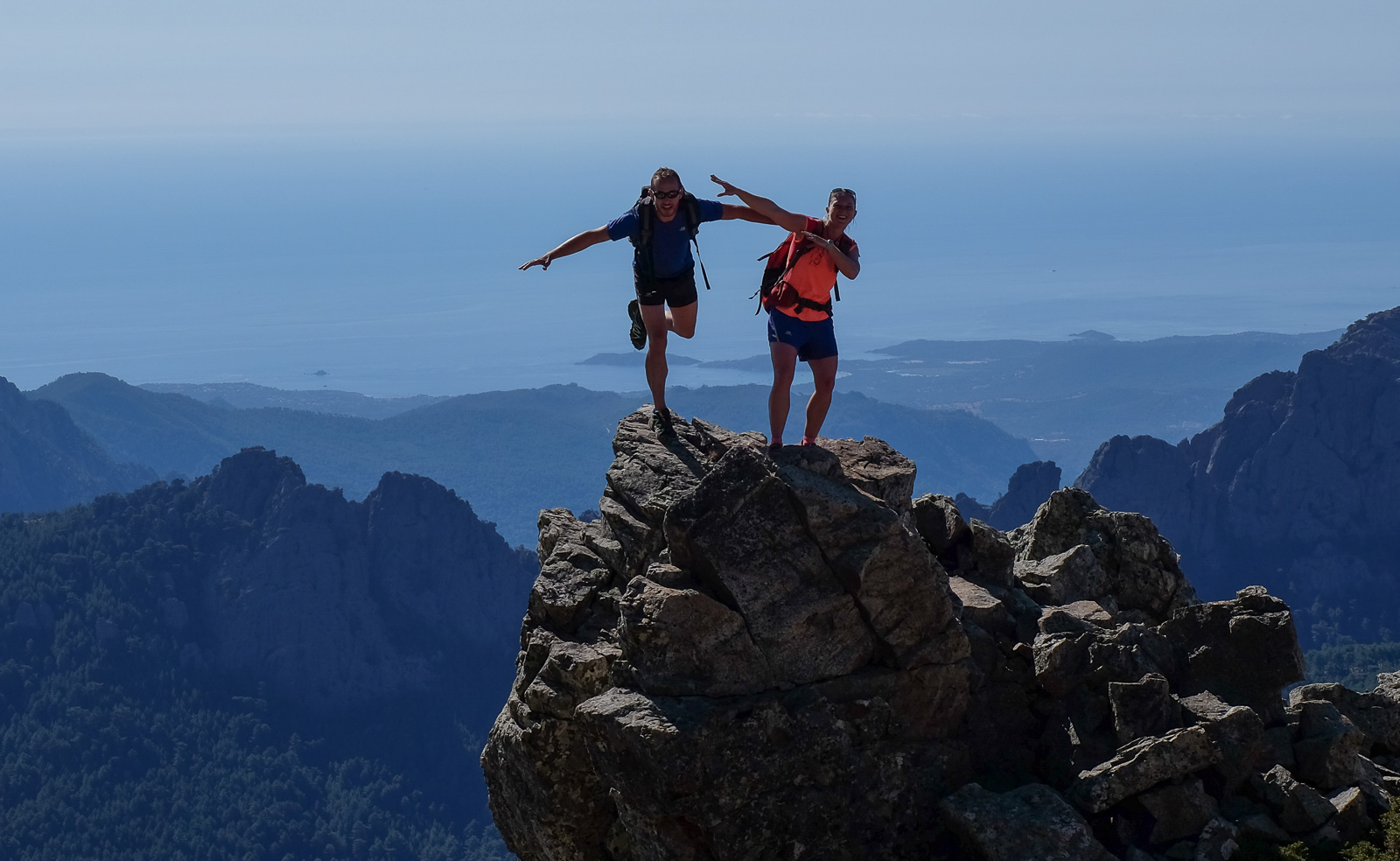
This combination of the alpine variant of the Aiguilles de Bavella and the ascent of Monte Incudine (2134m), with an impromptu return via the Piana Longa ridges, makes for a long, varied trek with an almost constant panoramic view of the region. Physical, then, with over 20km to cover, but also with a few technical passages to negotiate: a short equipped length and a few easy climbing steps, particularly on the needles section. The combination of routes is fairly easy to follow, with impeccable signposting, except on the improvised return via the crests where it's less obvious. The loop is not complete and requires a return drive from Quenza. A very nice walk, mainly because of the exceptional views from one end to the other.
❱❱ Technical summary
Type ✦ Alpine hiking
Location ✦ Bavella, Quenza
Region ✦ Corse du Sud
Country ✦ France
Length ✦ 20kms
Vertical rise ✦ 1545m
Negative vertical drop ✦ 1970m
Difficulty ✦ D
Max altitude ✦ 2134m
Duration ✦ 9h to 10h
Interest ✦ ★★
❱❱ Access to the place
Go to the Col de Bavella or Bocca Di Bavedda (1218m) on the D268 between Solenzara (30km east) and Propiano (50km west), and park in the main parking lot opposite the Aiguilles de Bavella restaurant.
❱❱ Map & topo

❱❱ Itinéraire
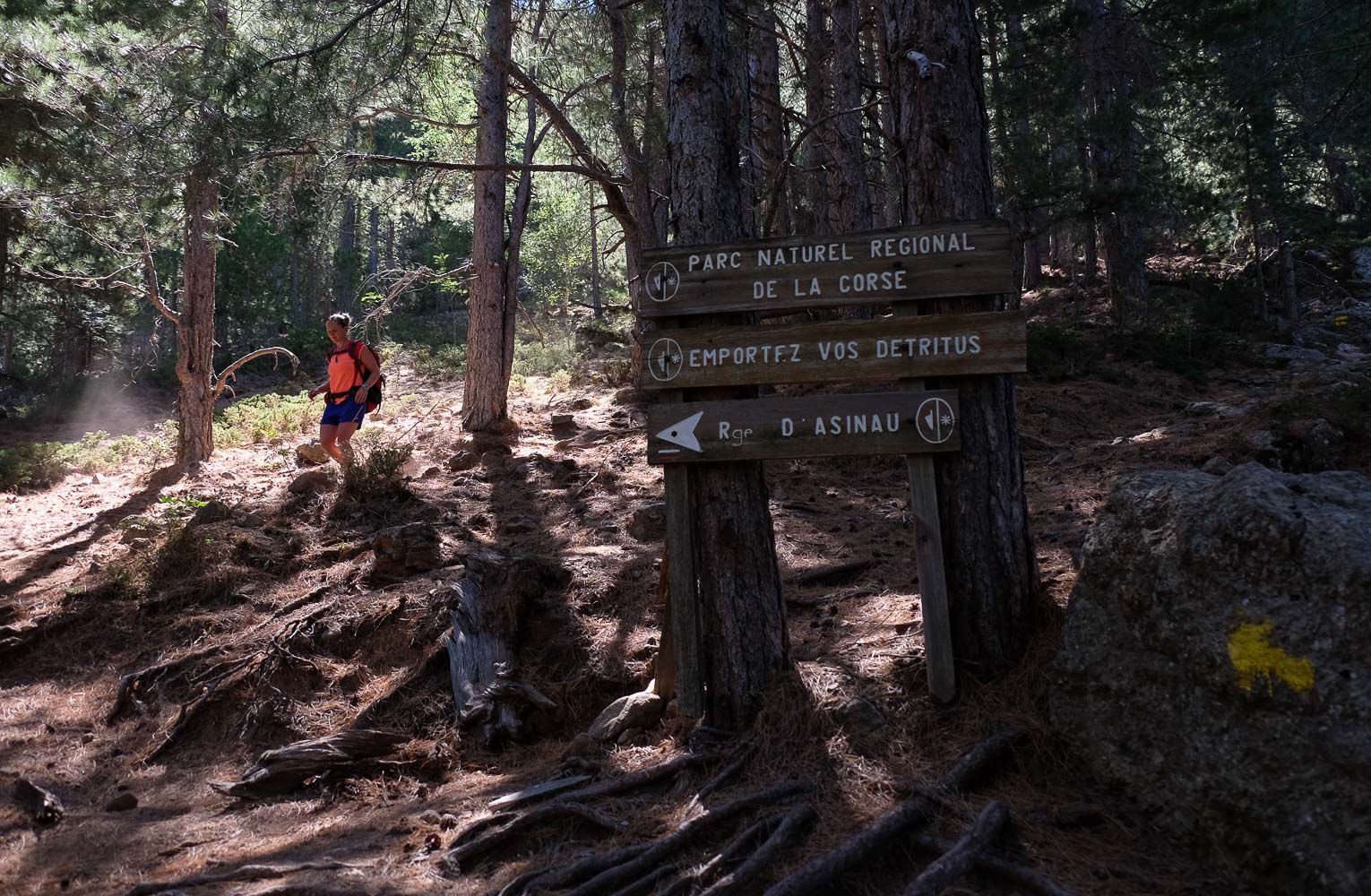
From the parking lot, walk along the road towards Zonza and immediately take the GR20, which turns right just after Notre dame des Neige. You'll soon come to the right-hand fork in the road for the alpine variant, marked with a double yellow line.
1545m of ascent, 1970m of descent, 20 kms and 10h of walking - that sets the tone! The route is easy to follow up to Monte Incudine, thanks to perfect signposting. The going gets a little tougher on the return ridge, but sightseeing also works when the trail is less visible.
The trickiest part is probably the descent to Quenza from the Aiguille de Baviola, as the trail is only moderately marked and, above all, has been overgrown by vegetation. On the other hand, you're unlikely to meet anyone down here. No equipment required, although there is an easy passage equipped with chains, and a few climbing steps in the III/IV section.
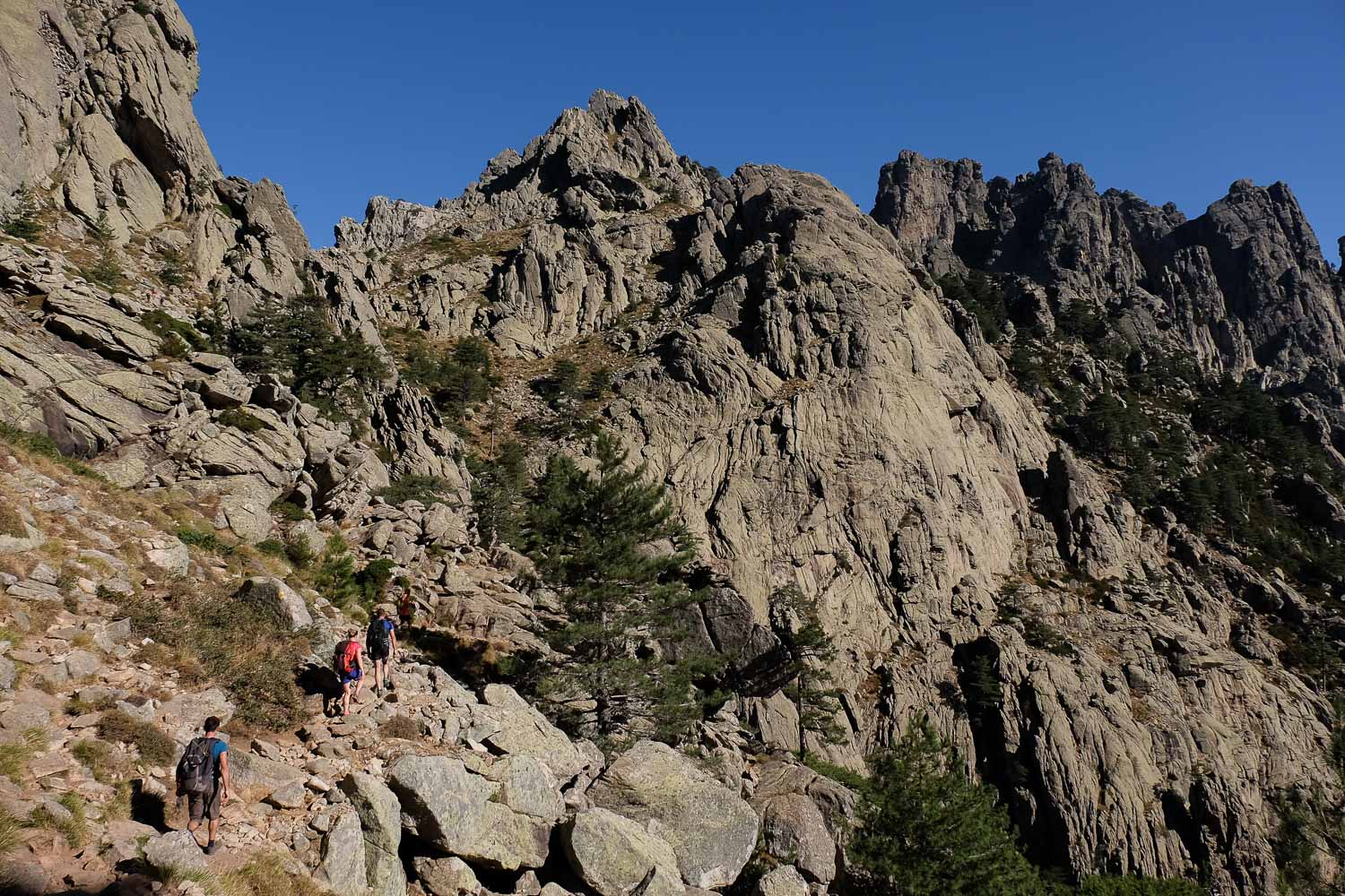
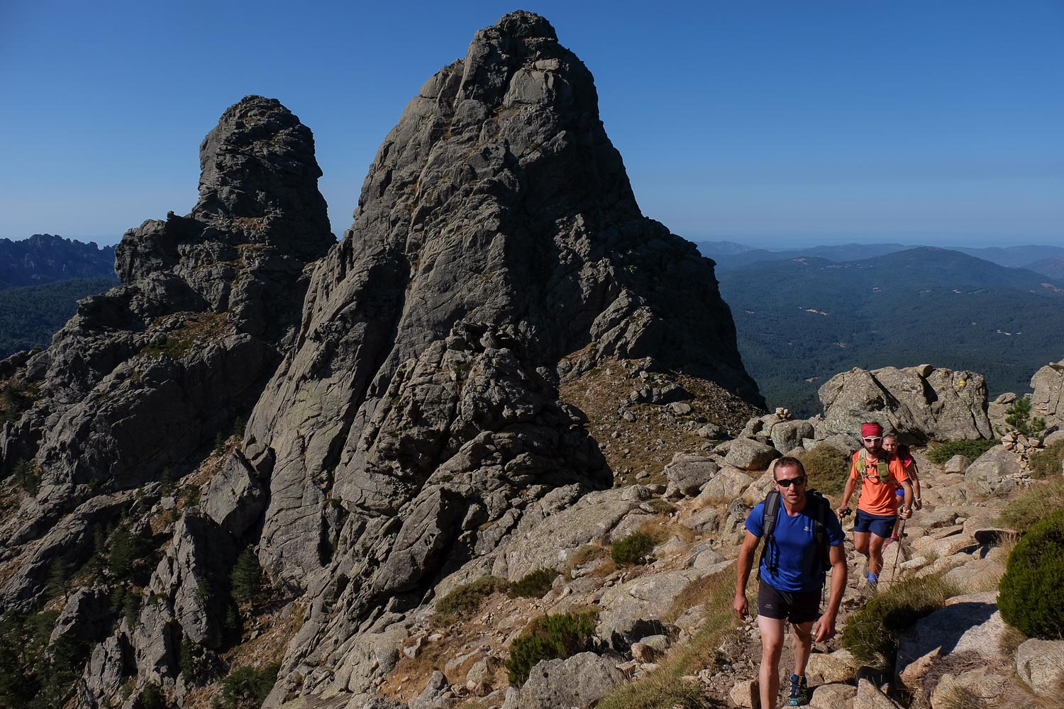
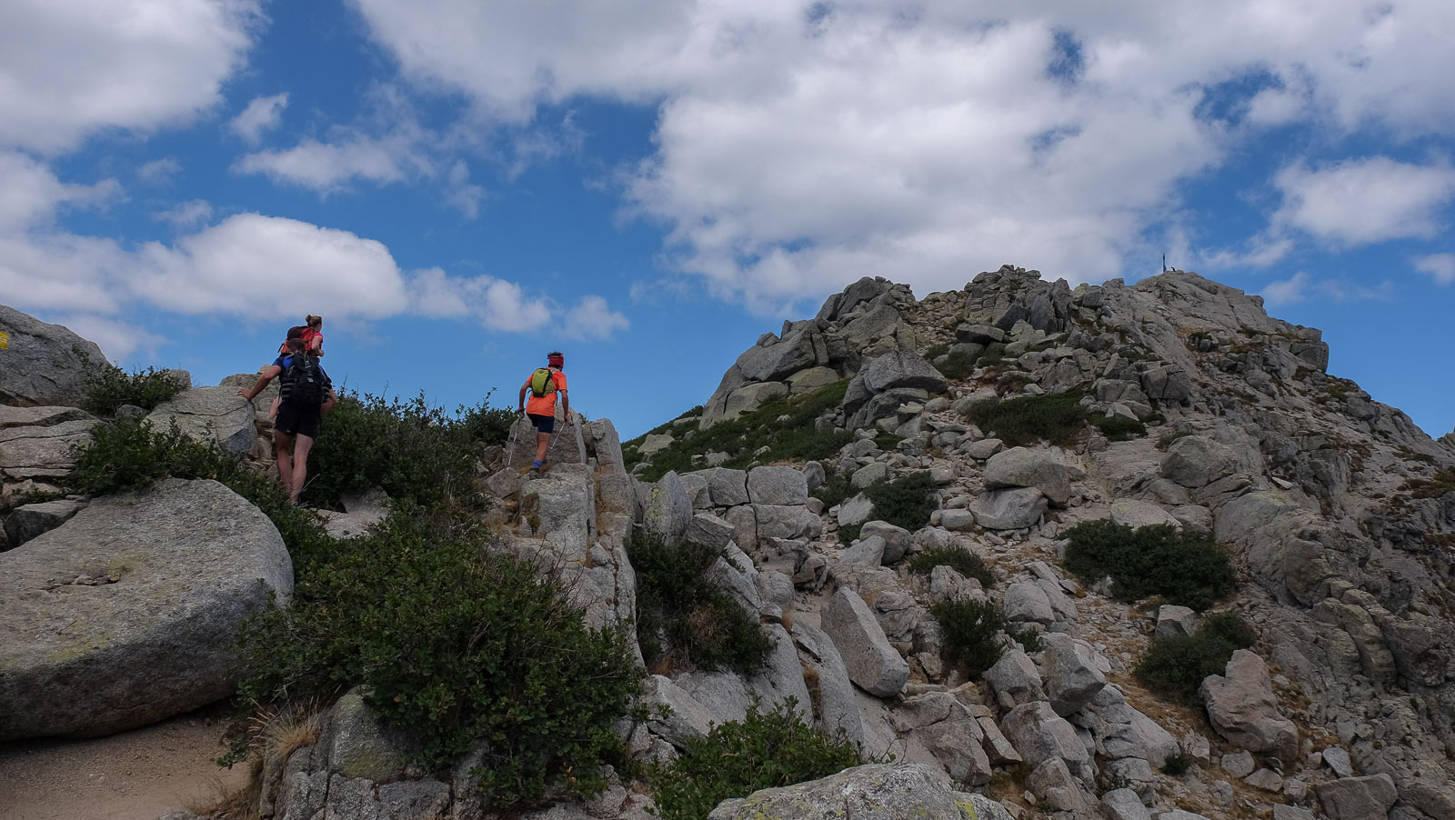
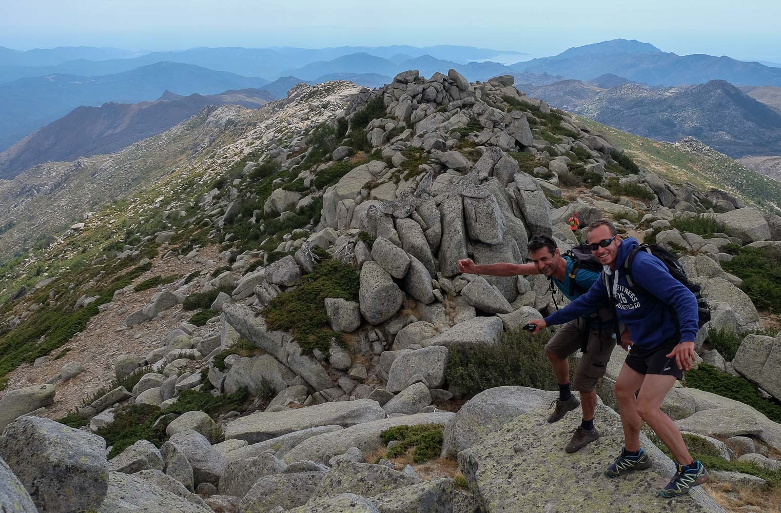
A big word... Alpine Corsican version: although it's hard climbing and some passages are made right on the rock, it's neither difficult nor very challenging. We follow the signposted path, which climbs steeply in tight twists and turns through the first granite cliffs until, after 40′, we pass through the narrow Bocca Di u Truvone (1334m). Climb back down on the opposite side and traverse more or less on the flank, with a few passages where you need to put your hands in and the short length equipped with chains, to reach the main Aiguilles ridge higher up (another 40′ from the Bocca Di u Truvone). Follow the ridge, continuing to climb slightly until you pass a new pass at the foot of the large cliffs and cross to the west (Bocca Pargulu, 1662m). The path then descends through scree and then zigzags through the forest to reach the junction with the GR20 at the bottom.
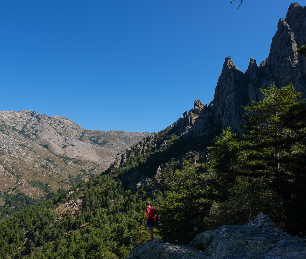
This is a transitional section, mostly in the woods and not too steep. Once you've reached the bottom of the valley and crossed the small stream, climb fairly steeply to reach the refuge, based at 1534m, below the foot of the Incudine.
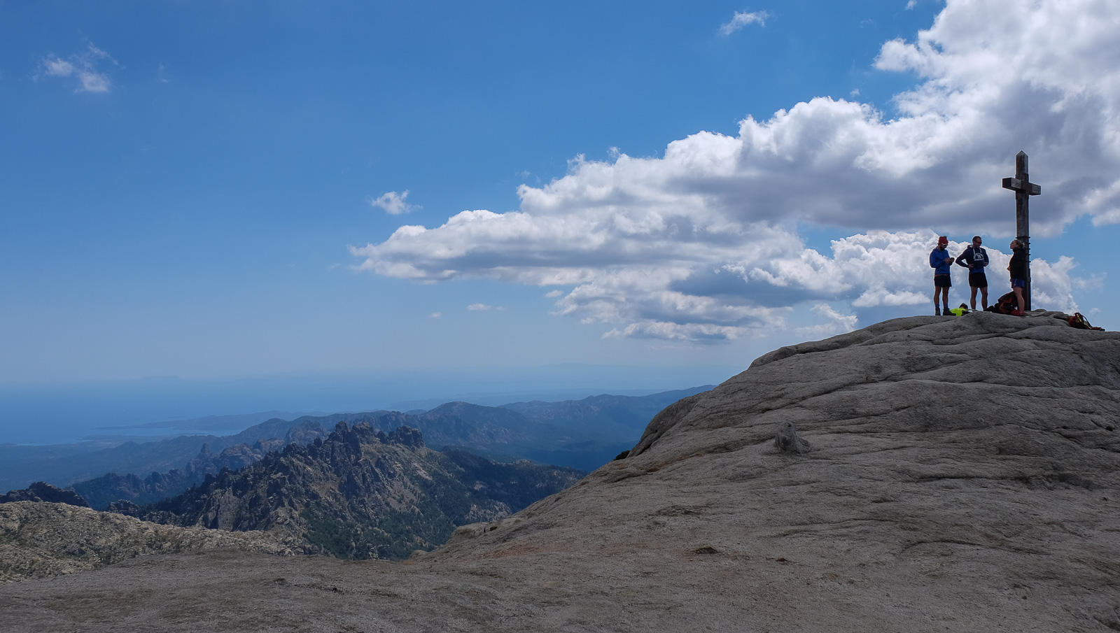
Continue on the GR20, which climbs steeply above the refuge. We sometimes pass large granite slabs with grip, also with hands, but without difficulty. You then approach the main ridge leading to the summit, and finally reach the col, which also gives access to a splendid panorama of high plateaus on the west side. Fifteen minutes of ascent remain, following the ridge to reach the rocky summit of Incudine (2134m).
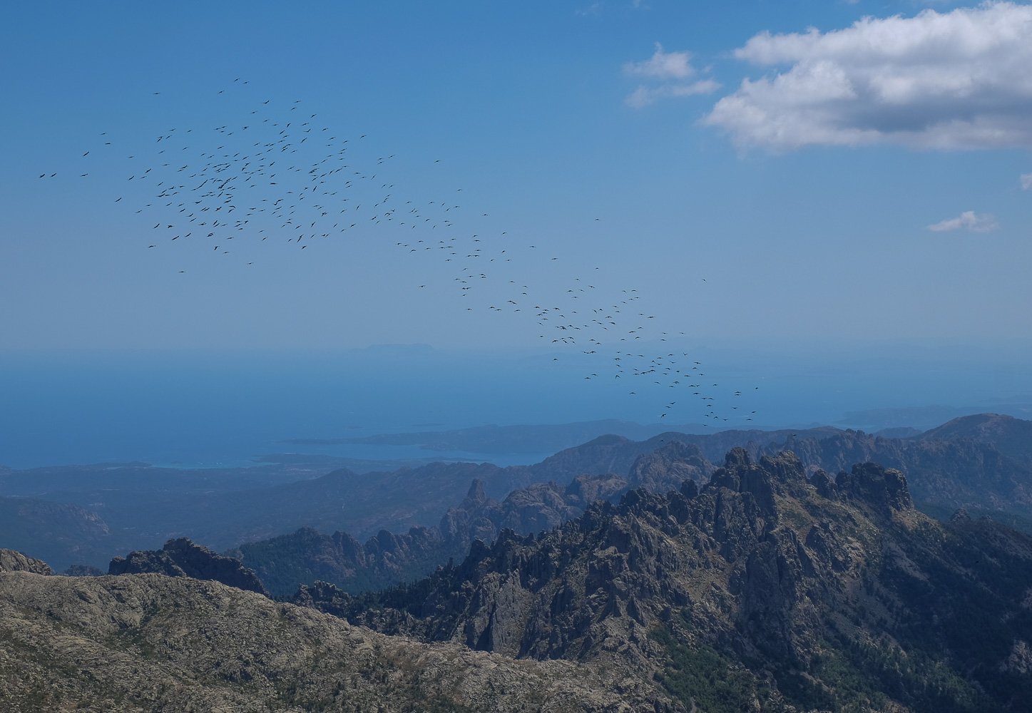
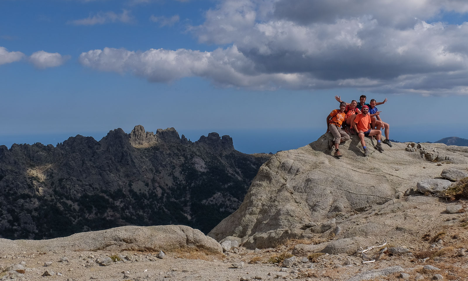
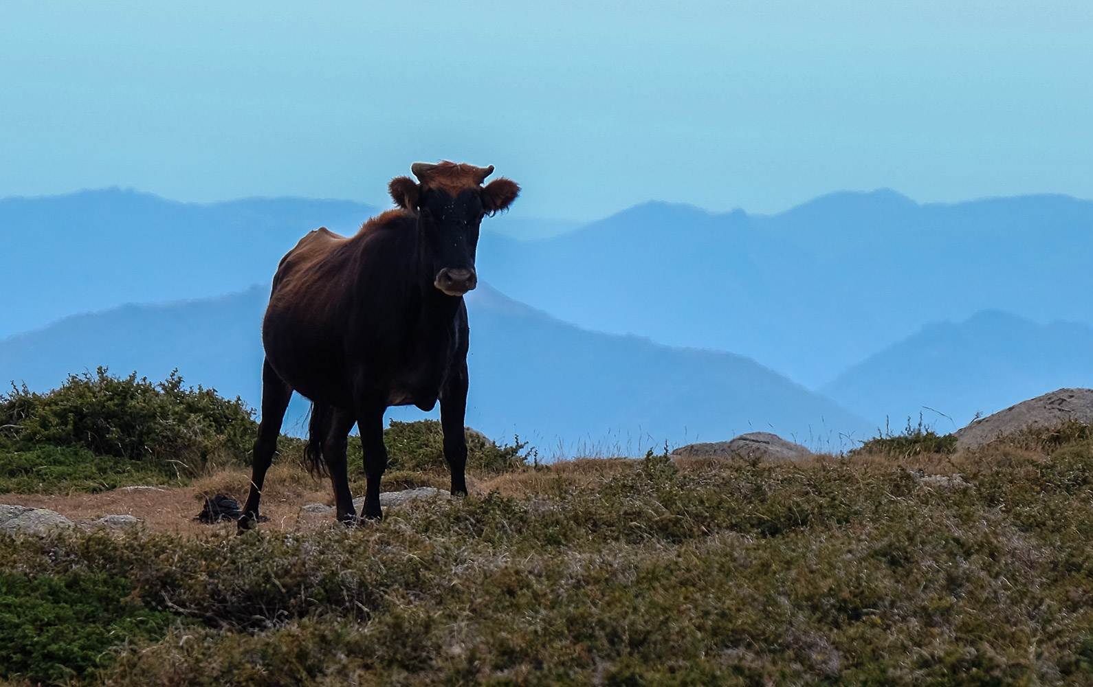
A long descent with uninterrupted views of the Aiguilles de Bavella to the Aiguille de Baviola. Descend from the summit to the col and continue along the ridge at sight. After 10′ you'll find a faintly marked path with occasional cairns and a few yellow dots. The ridge is easy to follow, with mounds of granite boulders in regular succession along the way. You lose track of the trail in places, but if you stay on the ridge and head west, you'll find your way back. The trail gradually descends and much further down you pass plateaus and some rather menacing horned cows!
At the very end, after about 3 hours, a fairly wide needle piled high with granite boulders forms a sort of "end of ridge", the aiguille de Baviola. At this point, the path heads more south-westerly and is quite difficult to follow through brambles and ferns. Avoid losing too much altitude, as the path descends gently over a very long distance. Further on, there are markings and a more marked path. Continue, this time with a view of the villages on the Zonza and Quenza sides. Then it descends more steeply to reach a much more marked yellow path. Turn left and follow it down to a junction with a stretch of cement road. The end of the trail!
From the start of the cement road, drive downhill for a while to reach the 1st dwellings at the top of Quenza and finally land on the village square, on the road leading to Zonza and the Col de Bavella. Stopover possible, or a second vehicle is even better.


![2017-08-05_13-35-40 [Monte Rotondo]](https://climbing7.com/wp-content/uploads/2017/09/2017-08-05_13-35-40-monte-rotondo-1024x683.jpg "Monte Rotondo, Melo and Capitello, Corte")

Leave a Reply