


TOPO Hiking | CLIMBING7.COM
Publié le
 Partager sur WhatsApp
 Partager sur Twitter
Partager sur Instagram
Partager sur Twitter
Partager sur Instagram

 Partager sur Facebook
 Imprimer le topo
 Laisser un commentaire

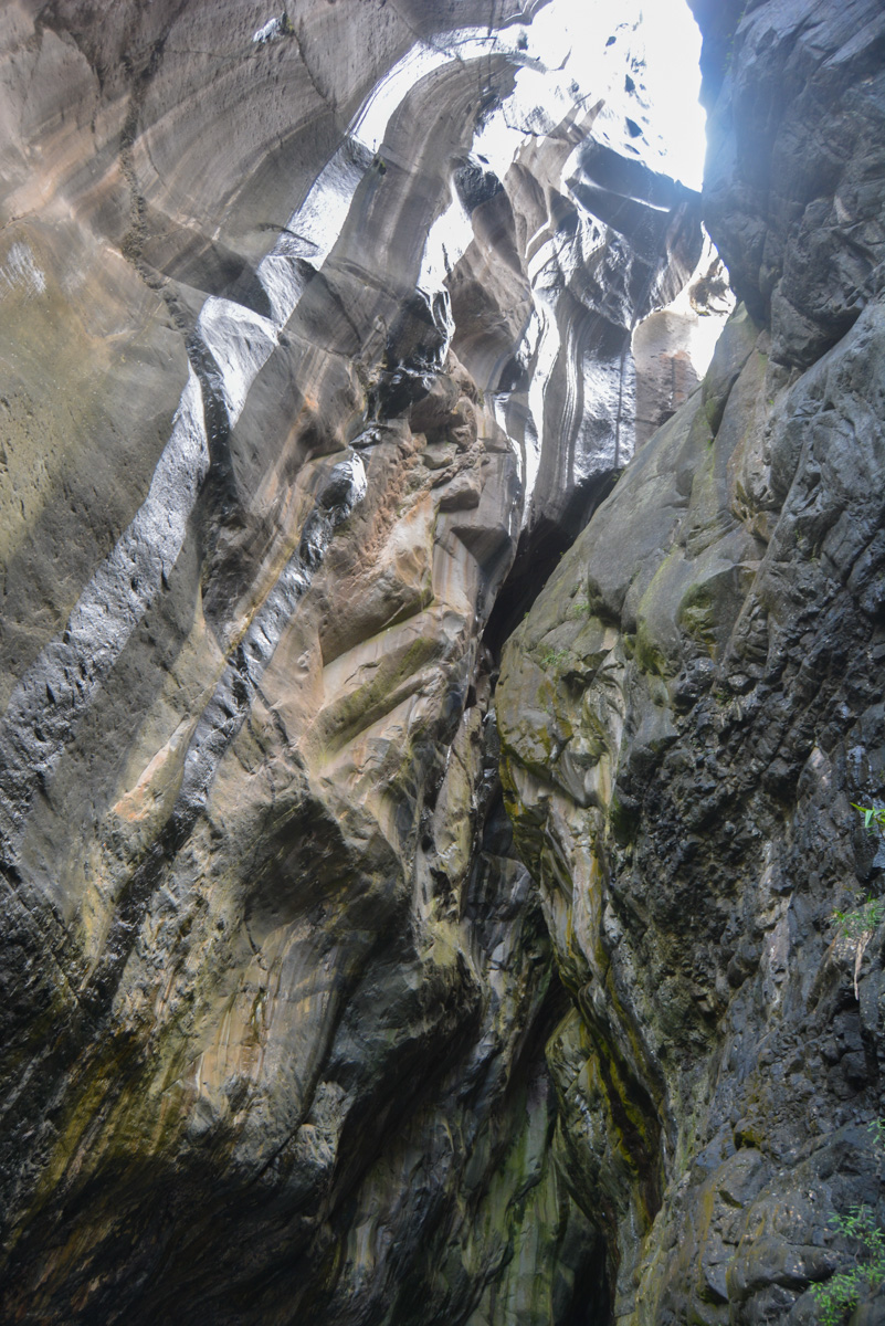
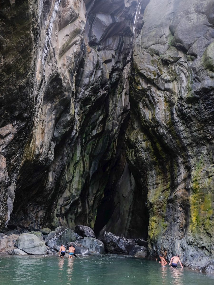
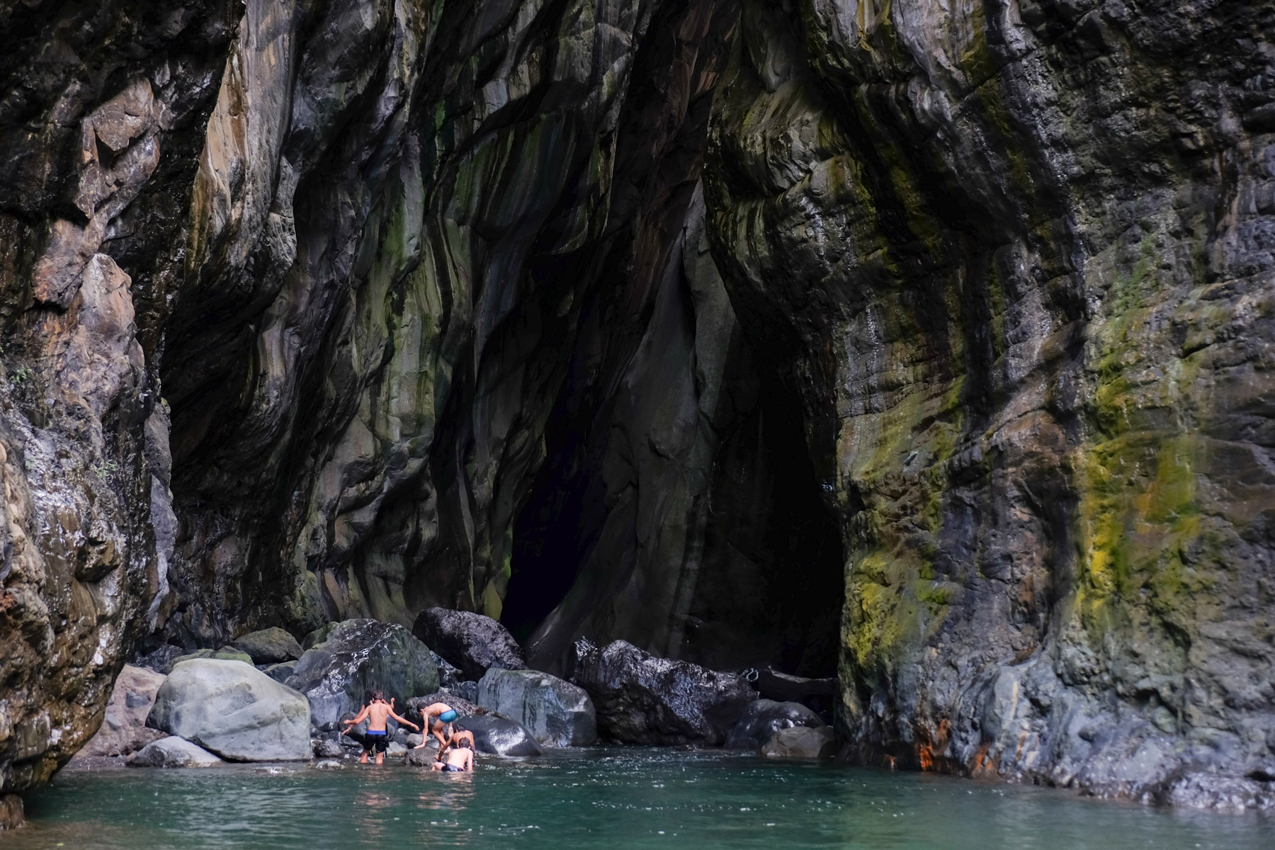
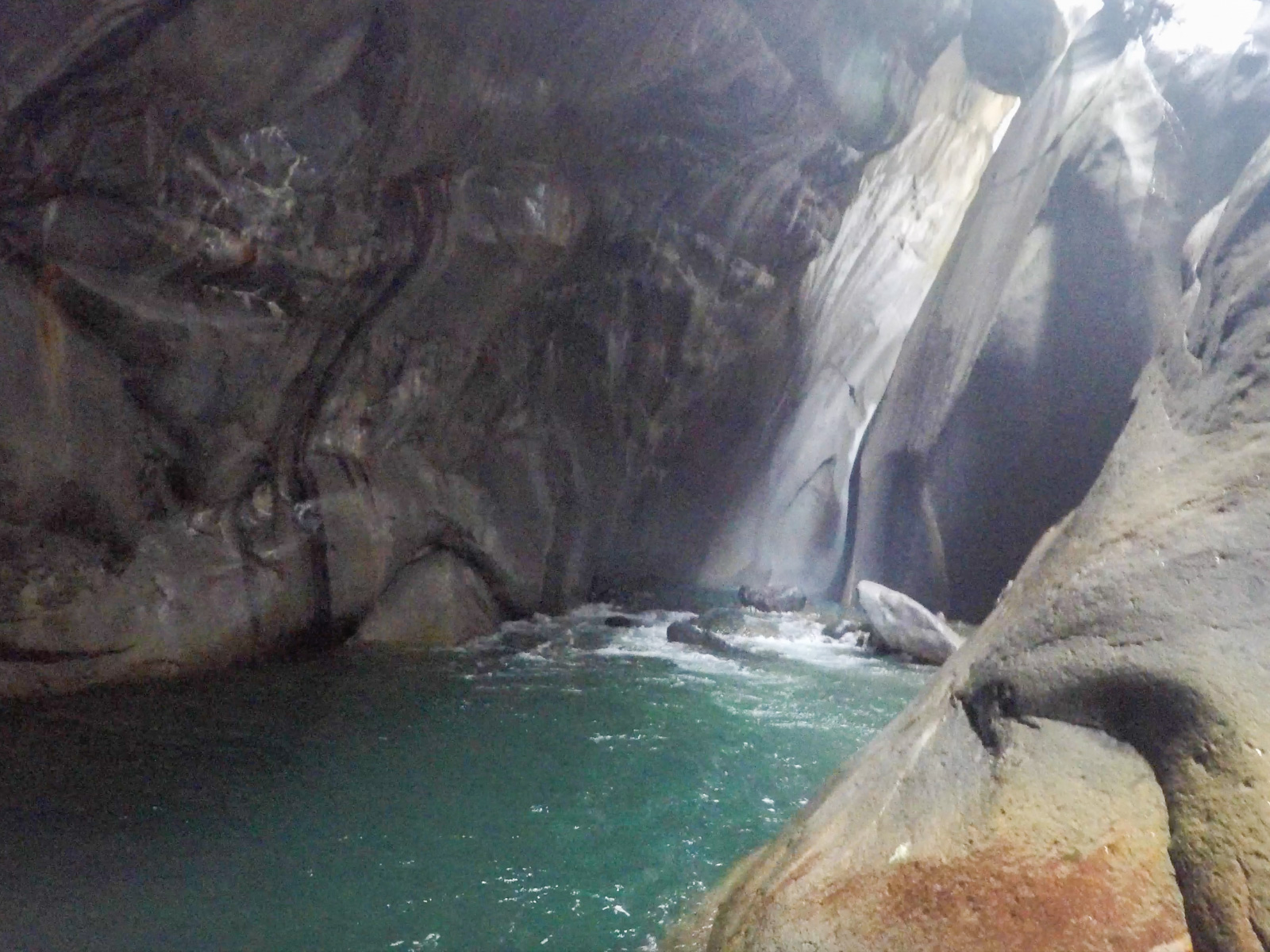
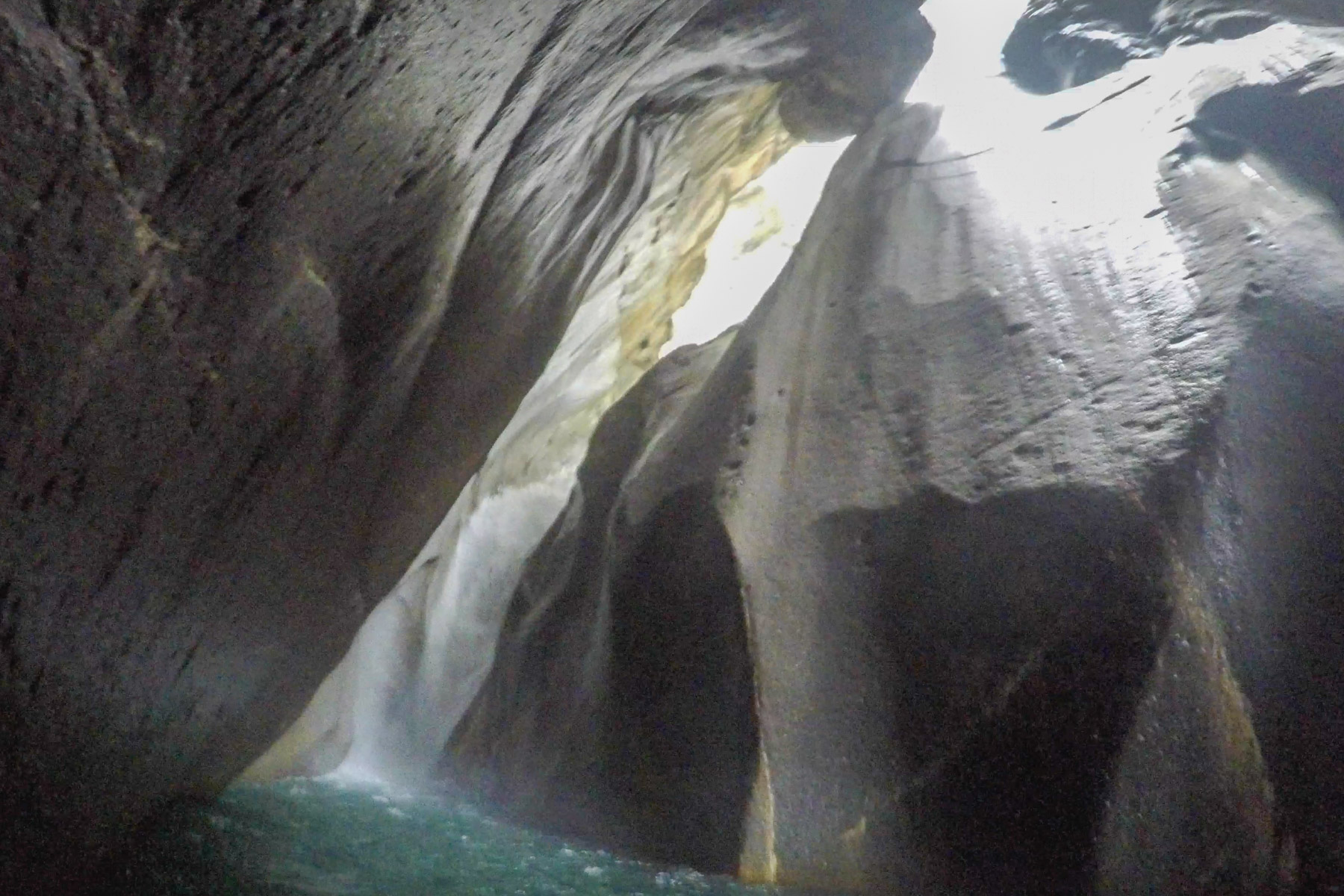
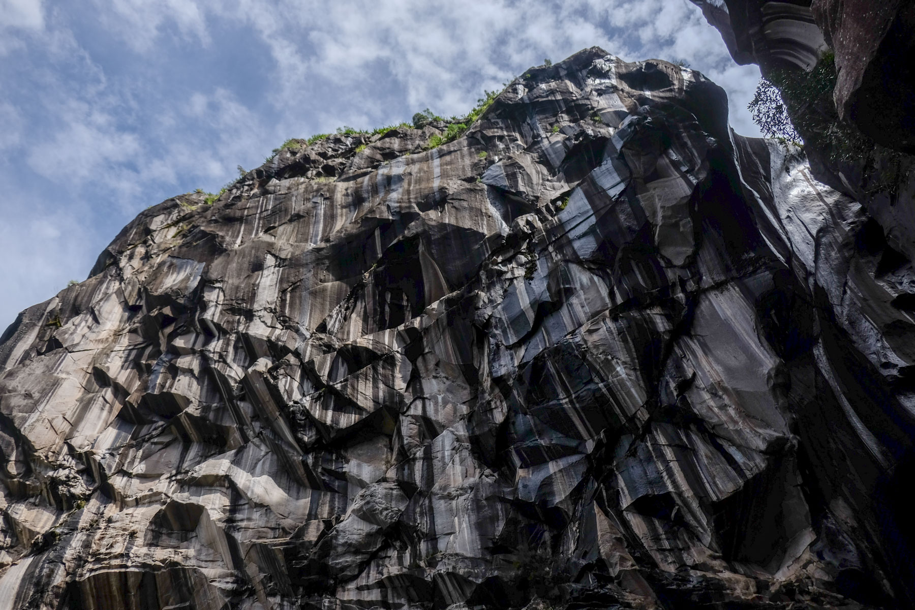
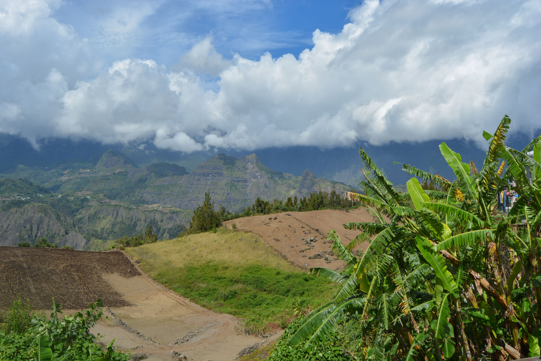
Dive into the heart of the cirque de Cilaos to reach the exceptional site of La Chapelle, an impressive rocky notch on the Bras Rouge pass, forming a short canyon that can be swum up to the waterfall at the bottom, water level permitting. The rock is streaked black and off-white on the outside, turning green and yellow on the inside. Rather than retrace your steps, the trek continues down to the Bras Rouge riverbed and up the opposite side to Terre Fine, at the foot of the cirque's western ramparts. With its sumptuous scenery, fairly strenuous route and easy itinerary, this one-day trek is well worth the detour.
❱❱ Technical summary
Type ✦ Bush hiking
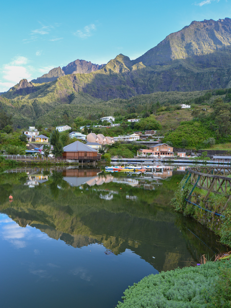
Location ✦ Cilaos
Region ✦ Cirque de Cilaos
Country ✦ La Réunion
Length ✦ 8kms
Vertical drop ✦ 700m
Difficulty ✦ MD
Duration ✦ 3h to 4h
Interest ✦ ★★
❱❱ Access to the place
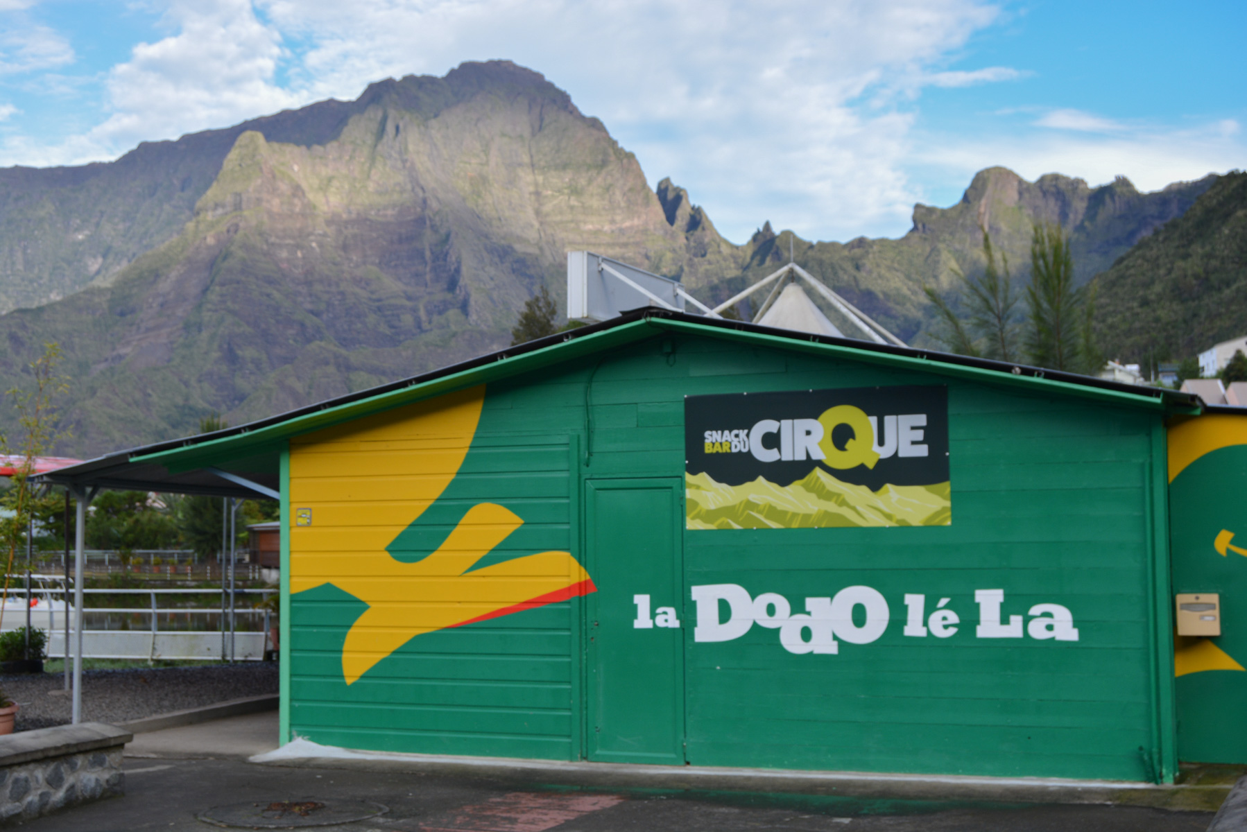
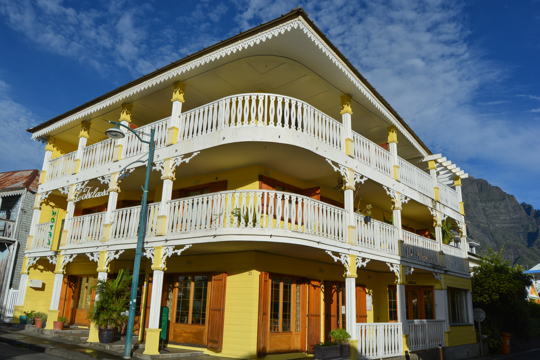
Park in the village of Cilaos, in the town center, near the main street and close to the Tsilaosa hotel.
❱❱ Map & topo
❱❱ Itinéraire
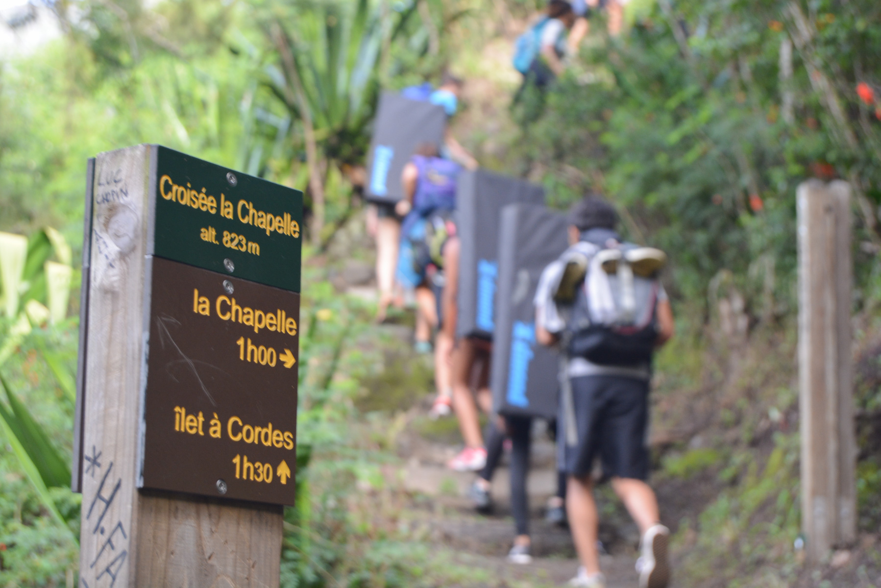
In the village of Cilaos, after the Hôtel Tsilaosa, turn right onto Rue de la Chapelle, which descends to the trailhead.
The trek is about 8 km long, with a return trip to the La Chapelle site. The route is very well signposted and the paths well marked. The difficulty may lie in the water level to access or enter La Chapelle and further on to cross Bras Rouge (bridge now destroyed). Find out about return bus schedules from Terre Fine, as there aren't many during the day.
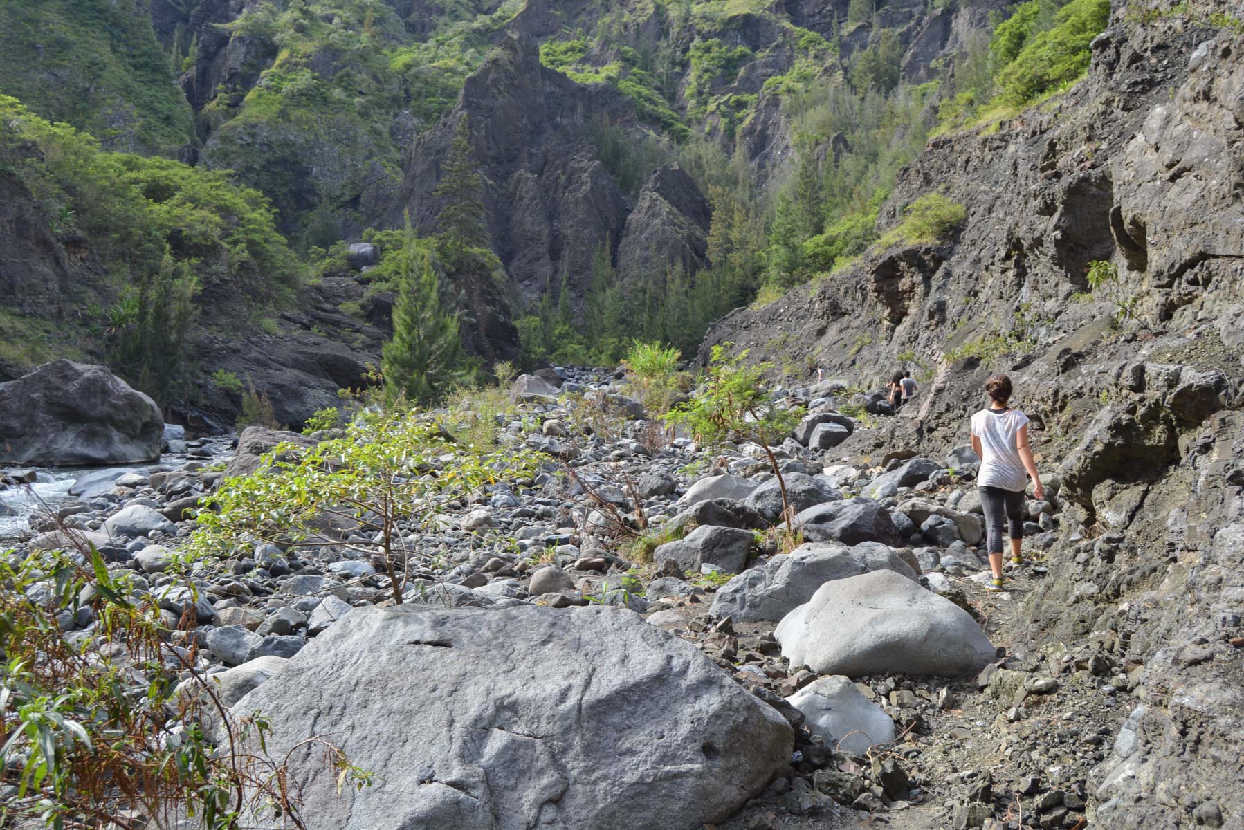
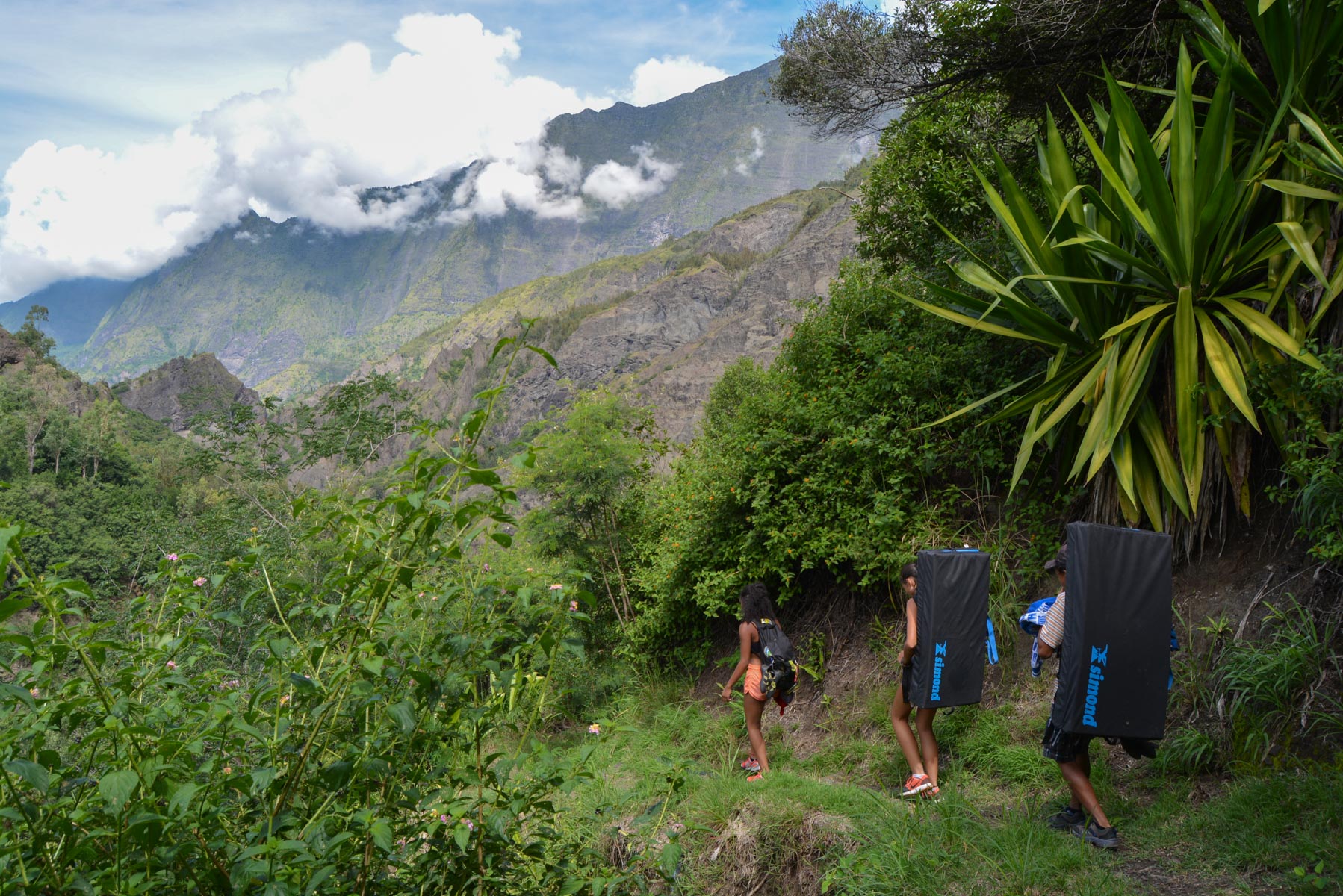
La Chapelle trail. A long, pleasant descent through the vegetation, with quite a few torrent crossings to be negotiated with the means at hand if you don't want to get your shoes wet. After about 45′, you reach the fork to La Chapelle. This path climbs steeply in short laces to pass a sort of shoulder with a first view of La Chapelle from the top. Then descend the large switchbacks to find yourself on the left bank of Bras Rouge. You then have to go up Bras Rouge to the right or left and make the bend to the left to finally see the entrance to La Chapelle. Getting there is tricky, especially if there's a lot of water. A small path on the left side avoids the chaos and pools, and leads to the canyon entrance. After swimming through a few basins, it's easy to reach the bottom and admire the great waterfall!
Ilet à Cordes trail. Return to the fork in the trail and head downhill again. It's another long descent to the Bras Rouge riverbed. The path runs alongside it for a while on the left bank, rounding a bend until you have to cross it. As the iron bridge has been destroyed, we have to find the best place to cross and then take the path on the other side, which quickly climbs into the woods. Then begins an intense and interminable ascent, offering splendid views of the cirque, but requiring a long and rather costly effort, especially in full sun, to finally reach the top of the road linking Ilet à Cordes to Terre Fine.
Take one of the bus stops either down to Terre Fine or up to Ilet à Cordes.


Leave a Reply