TOPO
The tortoise’s head, Ambatovaky cliffs

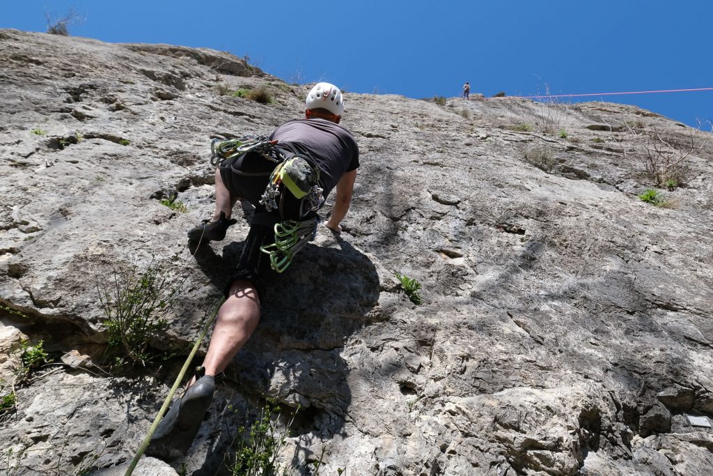
Some 20 kms to the east of the capital, set against a wide valley carpeted with rice paddies, huge boulders of golden granite lie on the hillsides and are equipped for a climbing session in a splendid setting, particularly after the rainy season with its quite incredible colors. The routes, which were equipped in the 90s and then partly re-equipped recently, are scattered around the various boulders, but are sometimes incomplete, the equipment having disappeared in the meantime. The site still needs to be re-equipped and maintained. At the end of the climb, you can go back up to climb the rock that dominates everything, Ambatomalaza (the tortoise's head), and admire the panorama. In the distance, but not so far away and clearly visible, is Antananarivo's sacred hill and the Queen's palace.
Technical summary
Type ✦ Rind climbing
Location ✦ Ambatovaky, Tête de la Tortue
Region ✦ Antananarivo
Country ✦ Madagascar
Difficulty ✦ 5 to 7a
Max route ✦ 25m (?)
Rock ✦ Granite
Interest ✦ ★
Access to the place
Despite the short distance from Tananarive (20 kms), the time to get there is long, even very long on weekdays. On Sundays, when the traffic is a little more lively. Basically, take the N1 towards Ampefy and at Ampitatafika, cross the river and turn left after the bridge on the bend towards Antsahadinta. Follow the very poor road to the Antsahadinta rova. You'll cross several rice fields, cross a small pass and then see the top of the tortoise's head on the left. Park alongside a rice field at GPS point 19°01'33.3″S 47°27'53.2″E. Allow around 1h30 on Sundays, much more on weekdays...
Map & topo
Itinerary description
Hiking to the start 20'
Cross the rice field and follow the wide path around the hillside to reach the large valley via a small pass. Following this path, you reach the site on the right. Fork slightly to the right and reach Canyon Land without difficulty.
Course Secteurs
The routes have been equipped in various sectors and all the information can be found on the original Tana climbing page. Below are some of the routes we had time to practice on Canyon Land and 4 Faces. Some of the route markers have disappeared, as have some of the belays. The rock is good, very abrasive but of good quality.
Canyon Land
Cool Raoul (5c, 15m, 7 quickdraws)
Delicate grip start, then a more sculpted middle section. The final section with a step out to the belay.
Les seins de guêpe (6a, 20m, 6 quickdraws)
More homogeneous, vertical with a slightly harder step at the end.
4 Faces
Ça pousse (6c, 12m, 5 quickdraws)
Hard because it's overhanging and physical. A big step to get out at the top.
Back
Either in the opposite direction, or by going over the hill, there's another wide path that loops back to the starting point with no problem.


Leave a Reply