


TOPO Hiking | CLIMBING7.COM
Publié le
 Partager sur WhatsApp
 Partager sur Twitter
Partager sur Instagram
Partager sur Twitter
Partager sur Instagram

 Partager sur Facebook
 Imprimer le topo
 Laisser un commentaire
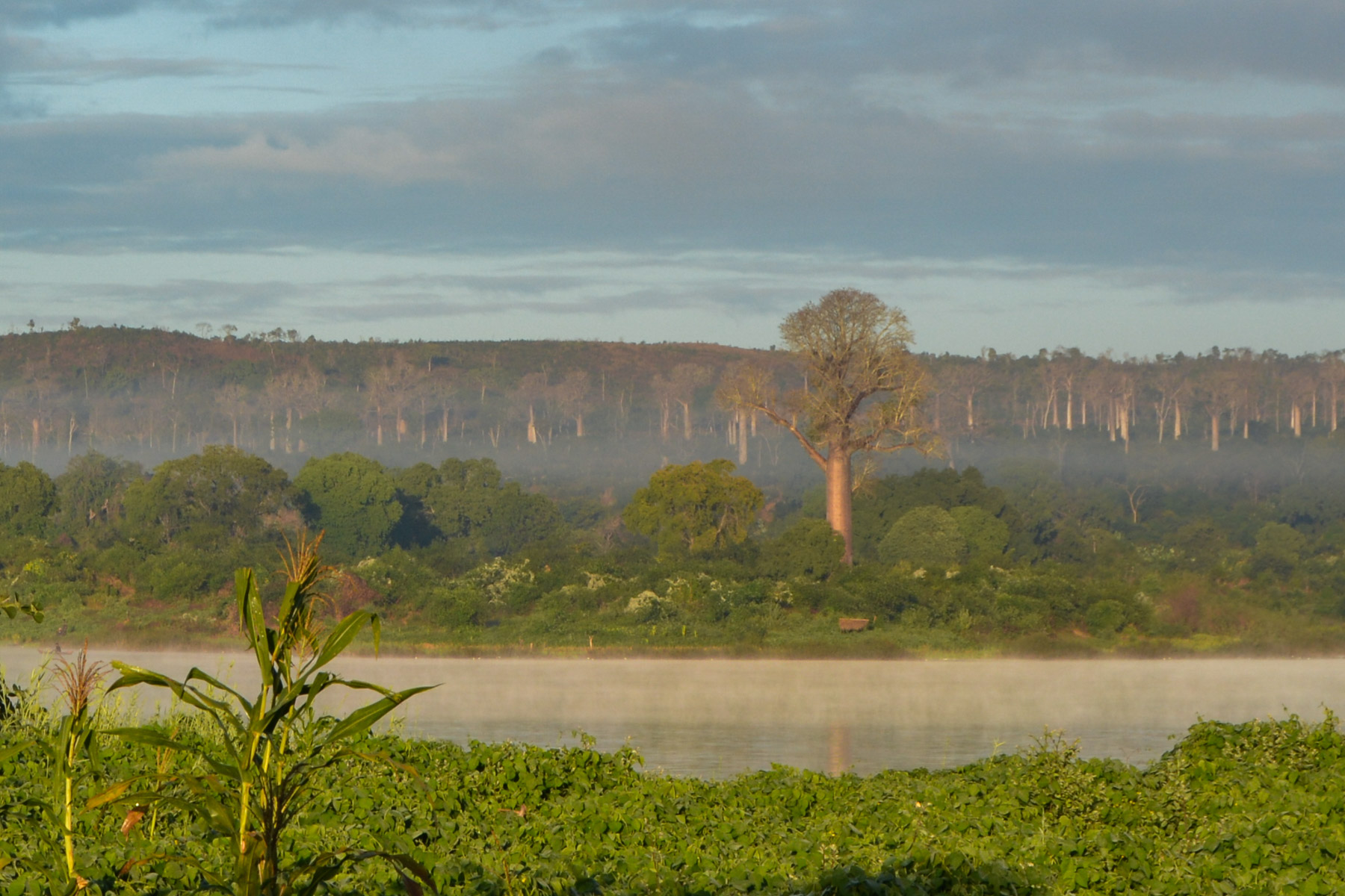
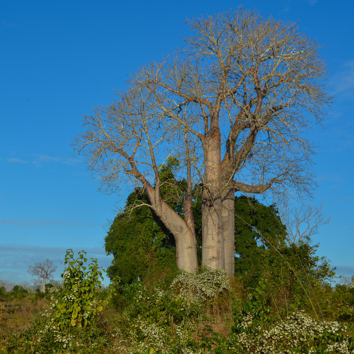
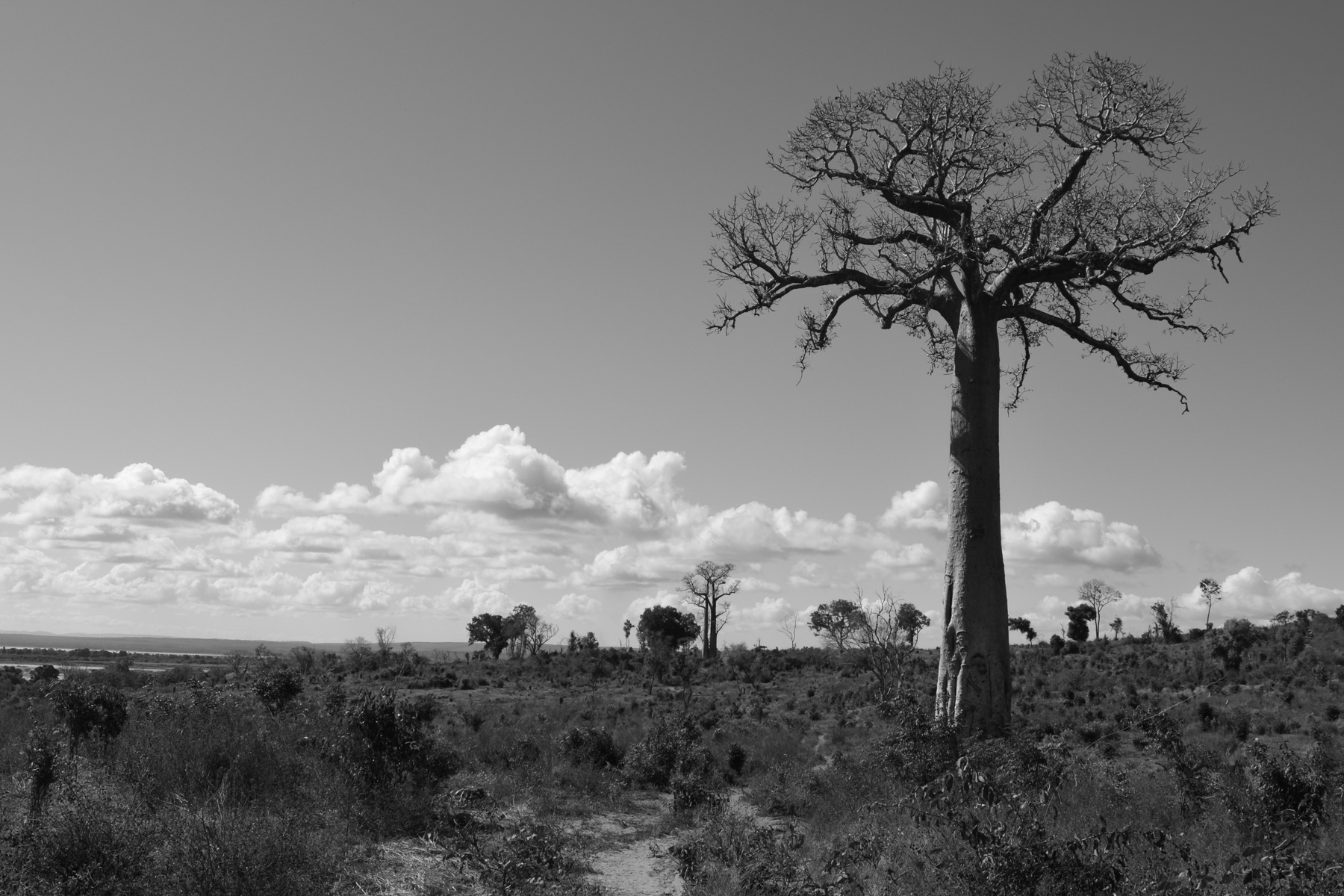
Dive into western Madagascar along the wide, winding Tsiribihina River, which joins the Mozambique Channel at Morondava. 2 stages of bushwalking more or less along the river, with pretty bivouacs on the banks or sand near the villages of Begidro, Tsaraotana and Tsimafana. The 1st stage is nothing exceptional, but the second is well worth the detour: a magical circuit through a forest of majestic baobabs, each as beautiful as the next. The bush villages we pass through are equally splendid, not to mention the nonchalant descent of the Tsiribihina on noisy barges that are ideally placed to enjoy the wilderness of the region. If you look carefully, you may even come across a few crocodiles...
❱❱ Technical summary
Type ✦ Hiking / Red Island Trail, Stage 3 & 4
Location ✦ Begidro, Tsaraotana and Tsimafana
Region ✦ Tsiribihina, Morondava
Country ✦ Madagascar
Length ✦ 26kms
Height difference ✦ 250m
Difficulty ✦ MD
Duration ✦ 2 days with bivouac
Interest ✦ ★★
❱❱ Access to the place
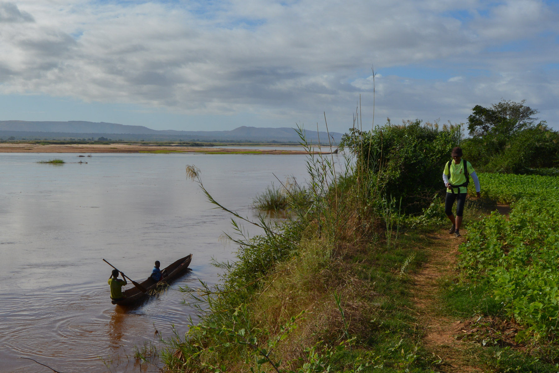
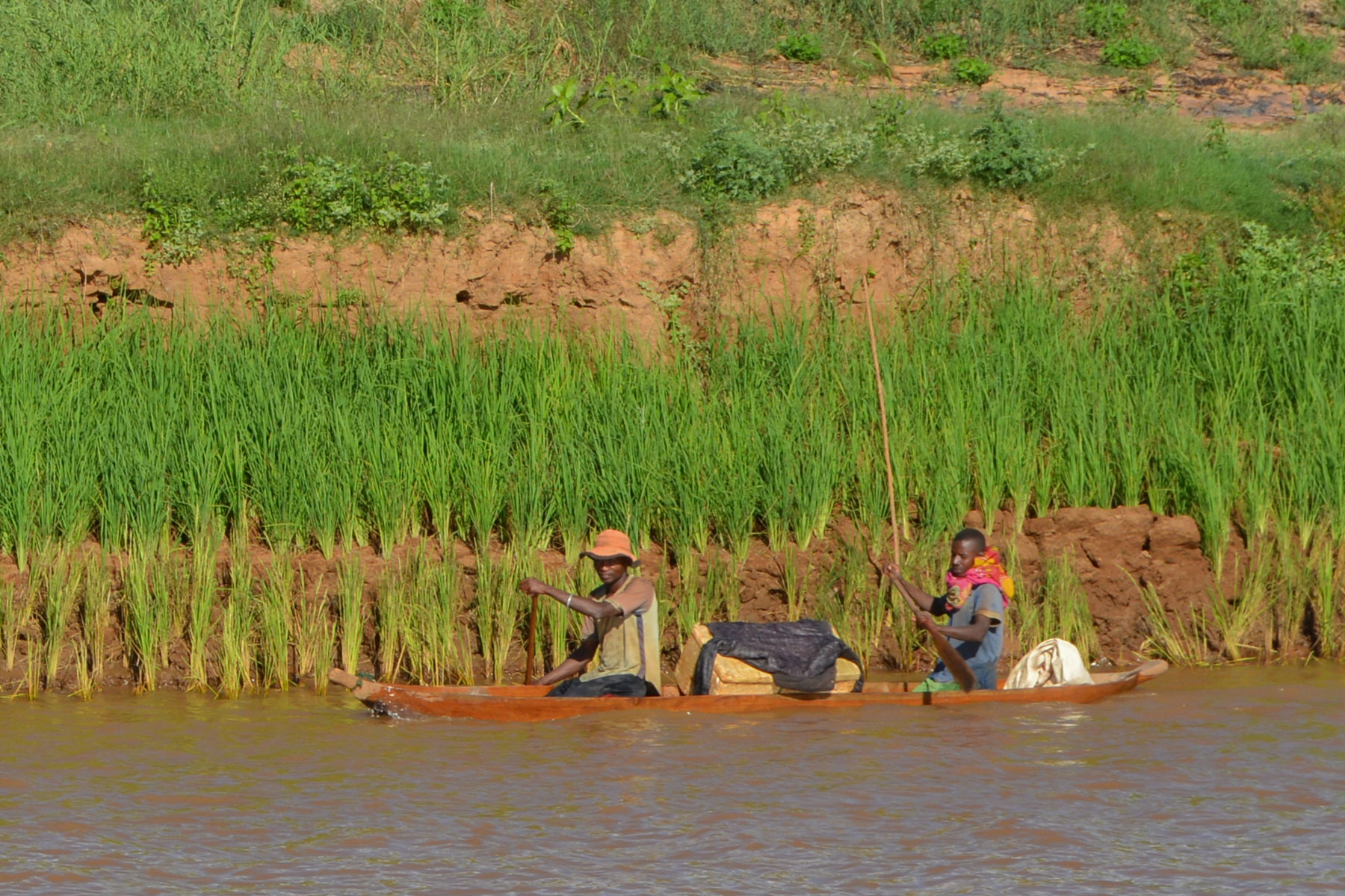
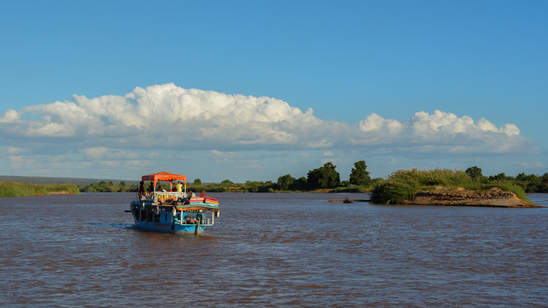
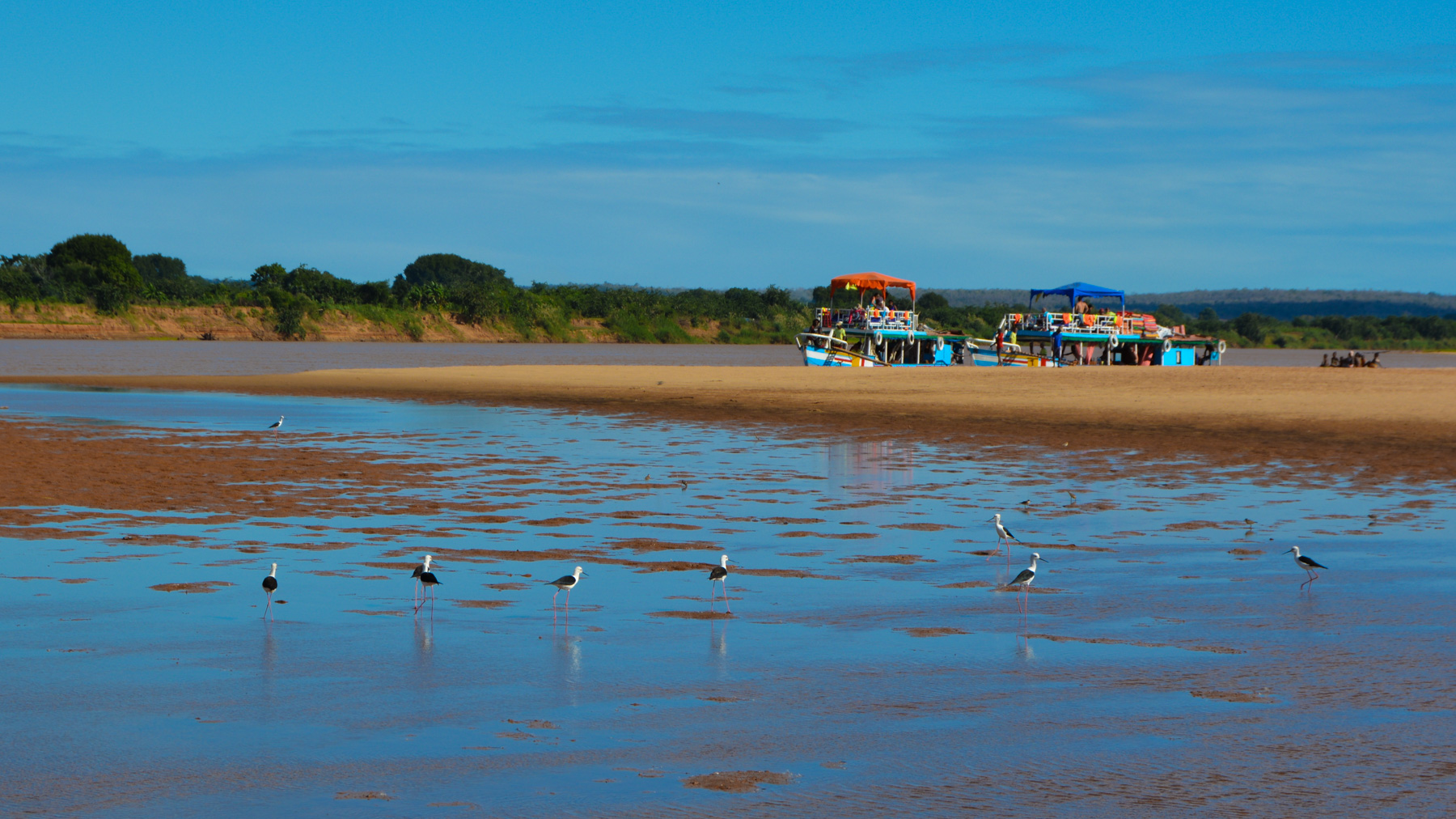
Departure is from Miandrivazo to reach the banks of the Tsiribihina and then the barges. Travel between the first and second stages is also by river. Departure is from the Belo landing stage on the Tsiribihina.
❱❱ Map & topo
❱❱ Itinéraire
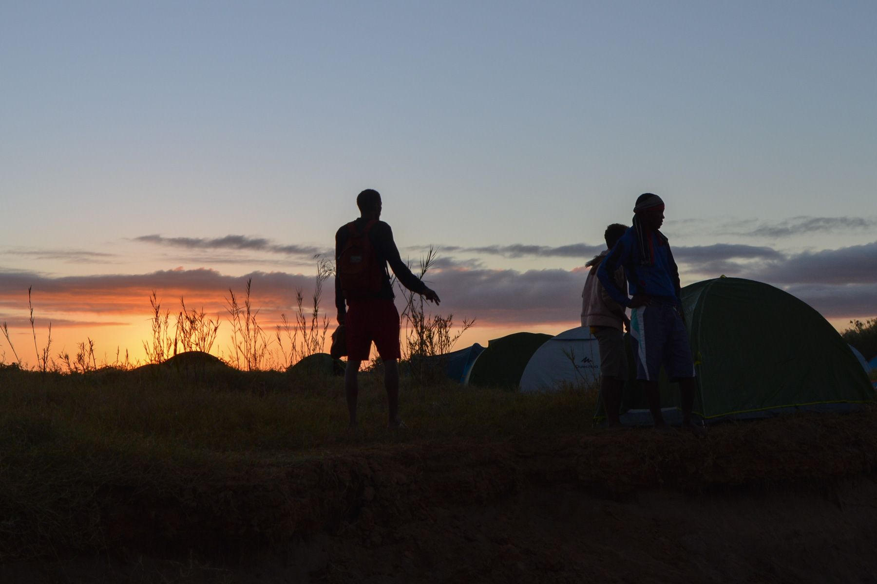
Long approach to Begidro from Miandrivazo: bush cab to the river bank, pirogues to the barge and descent to Bedrigo. Bivouac on the sand near the village.
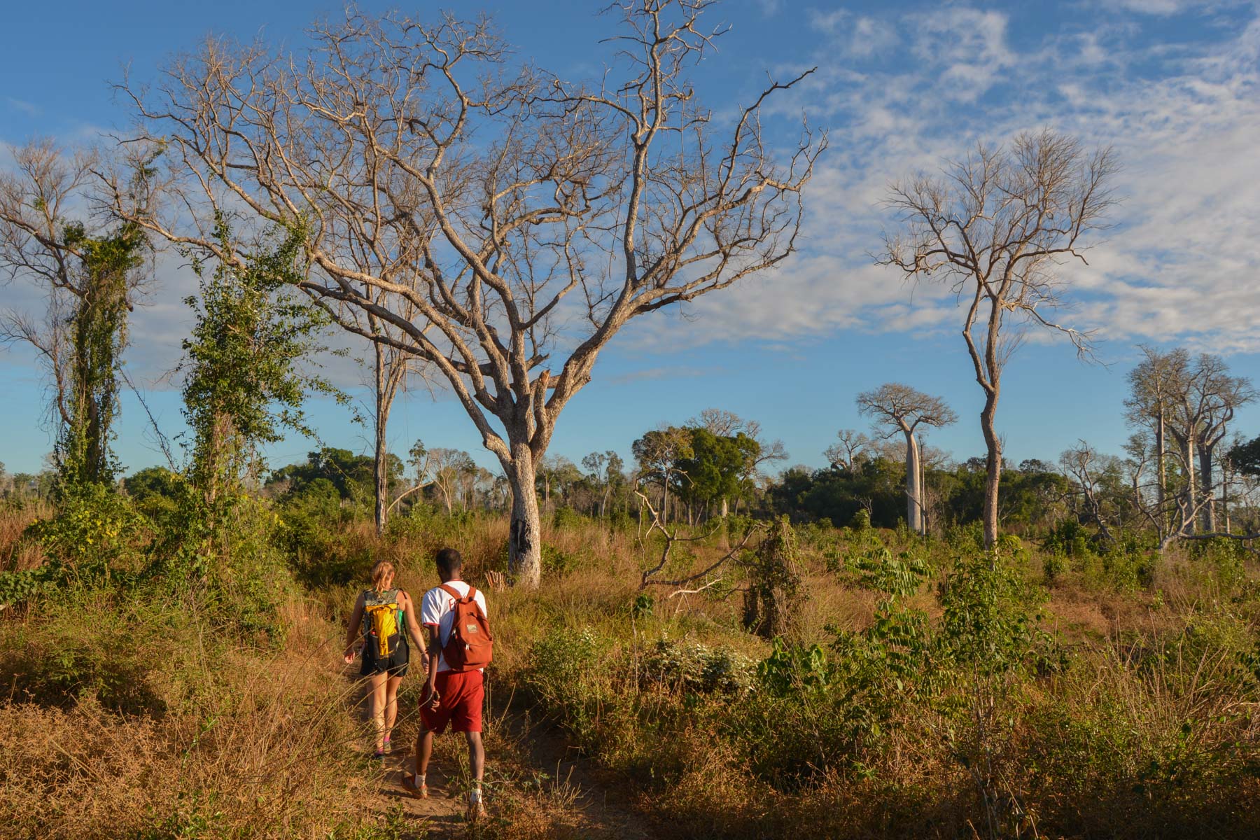
The 2 routes are not signposted, but mostly follow paths used by the villagers. No difficulties other than orientation (not in our case, since the routes had been marked by the trail organizers).
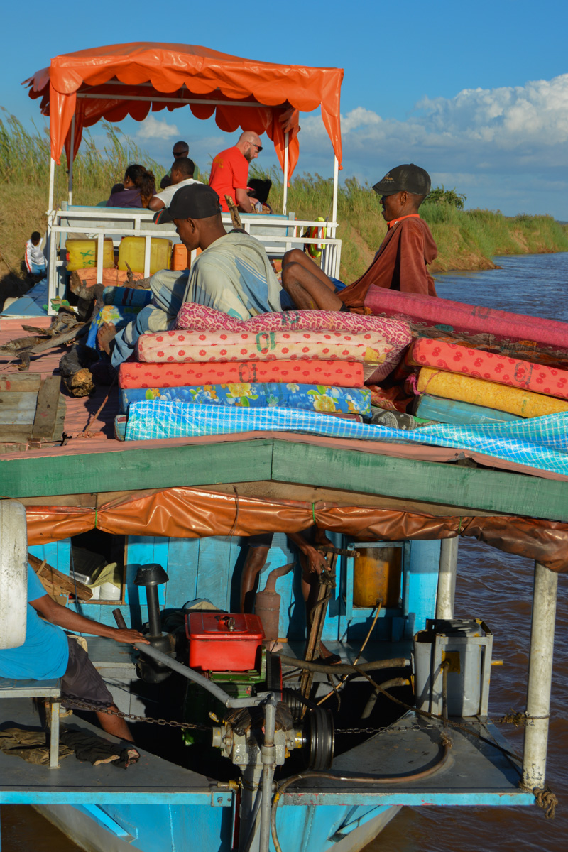
There were no water refills along the way, so plan accordingly. Transport, catering and bivouac logistics were handled entirely by the small barge company (Eden 1 and 2 for us), with fairly efficient results.
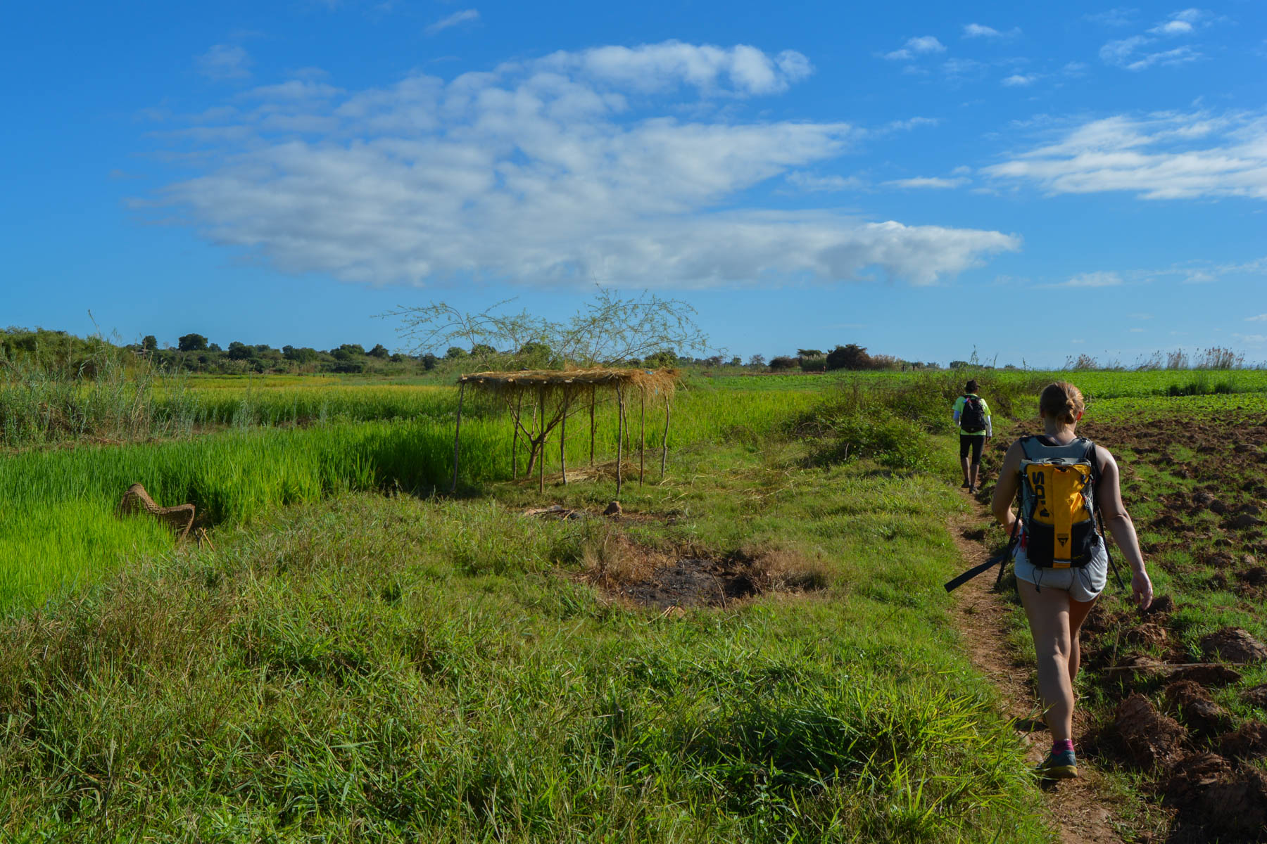
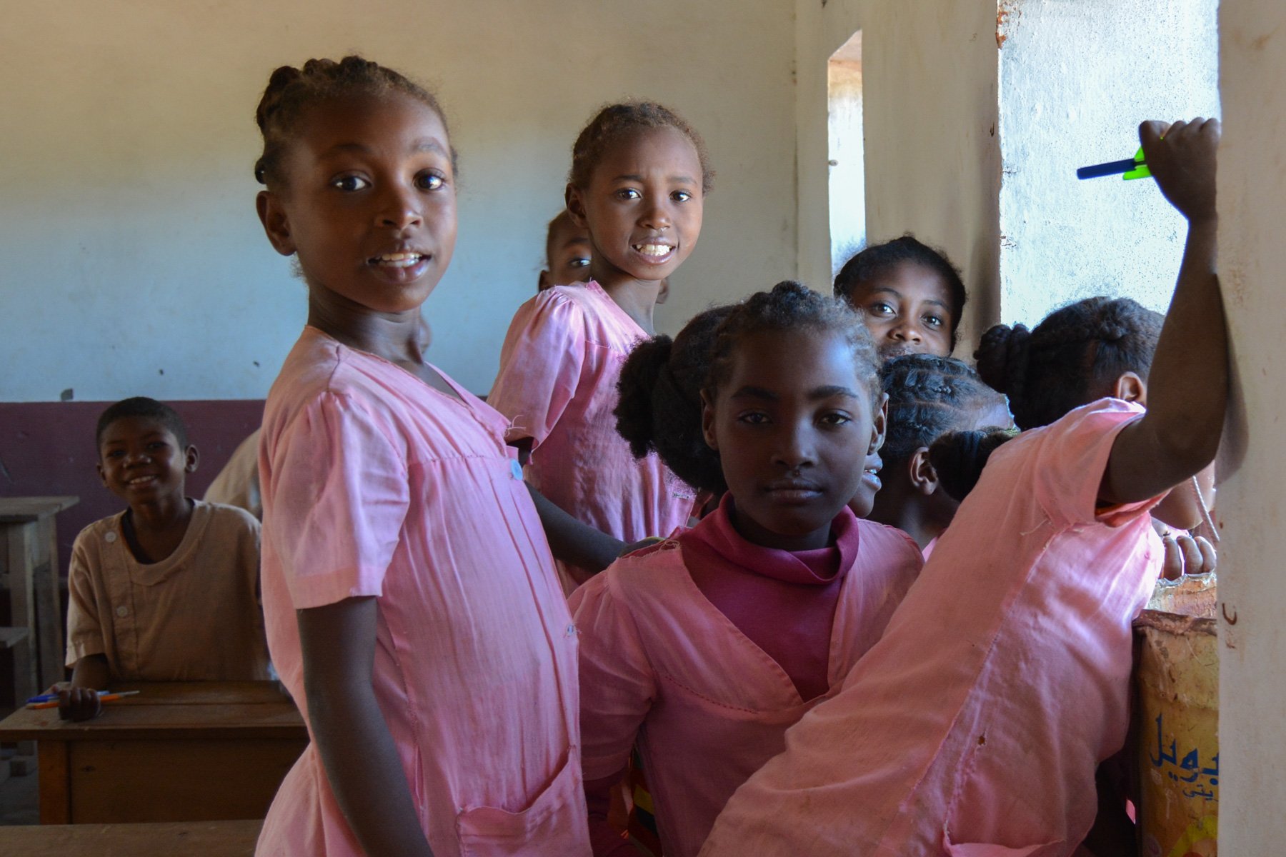
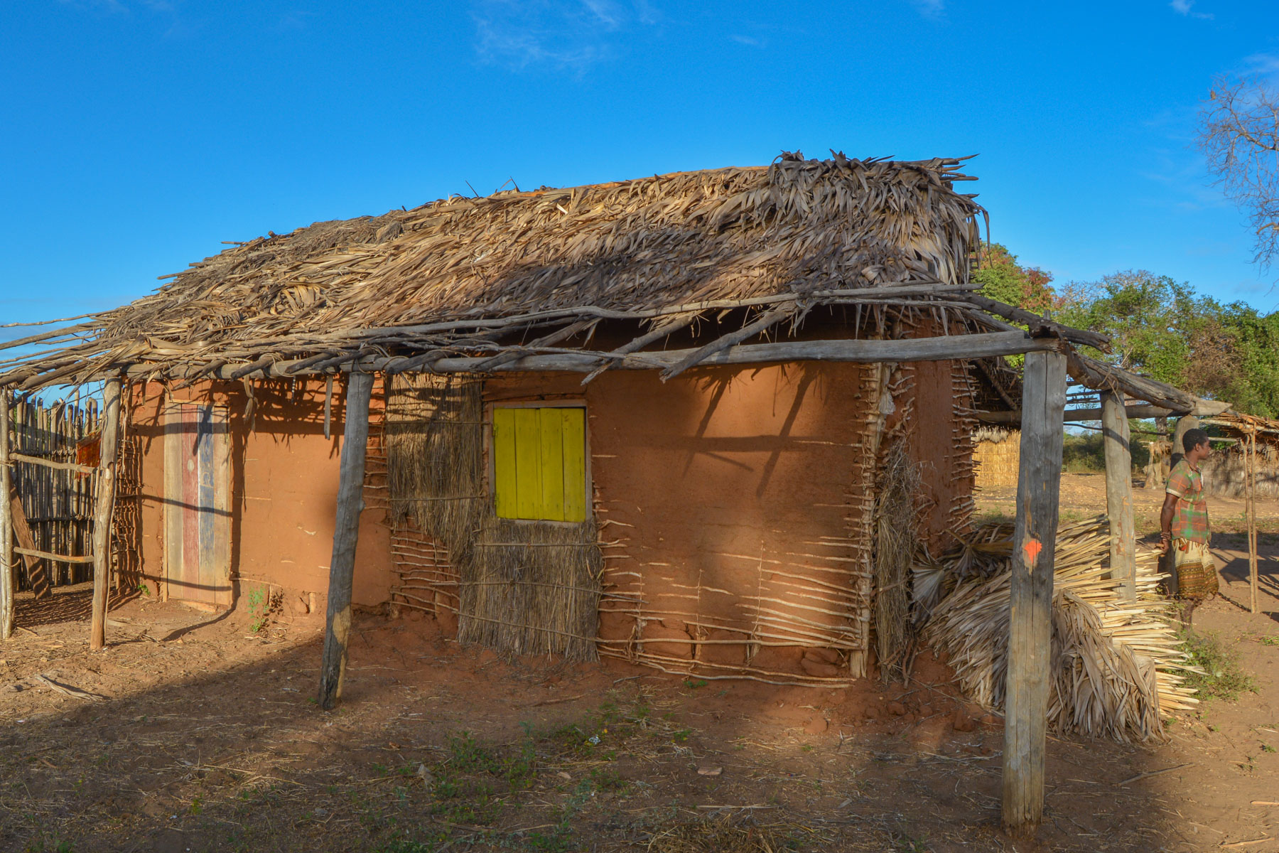
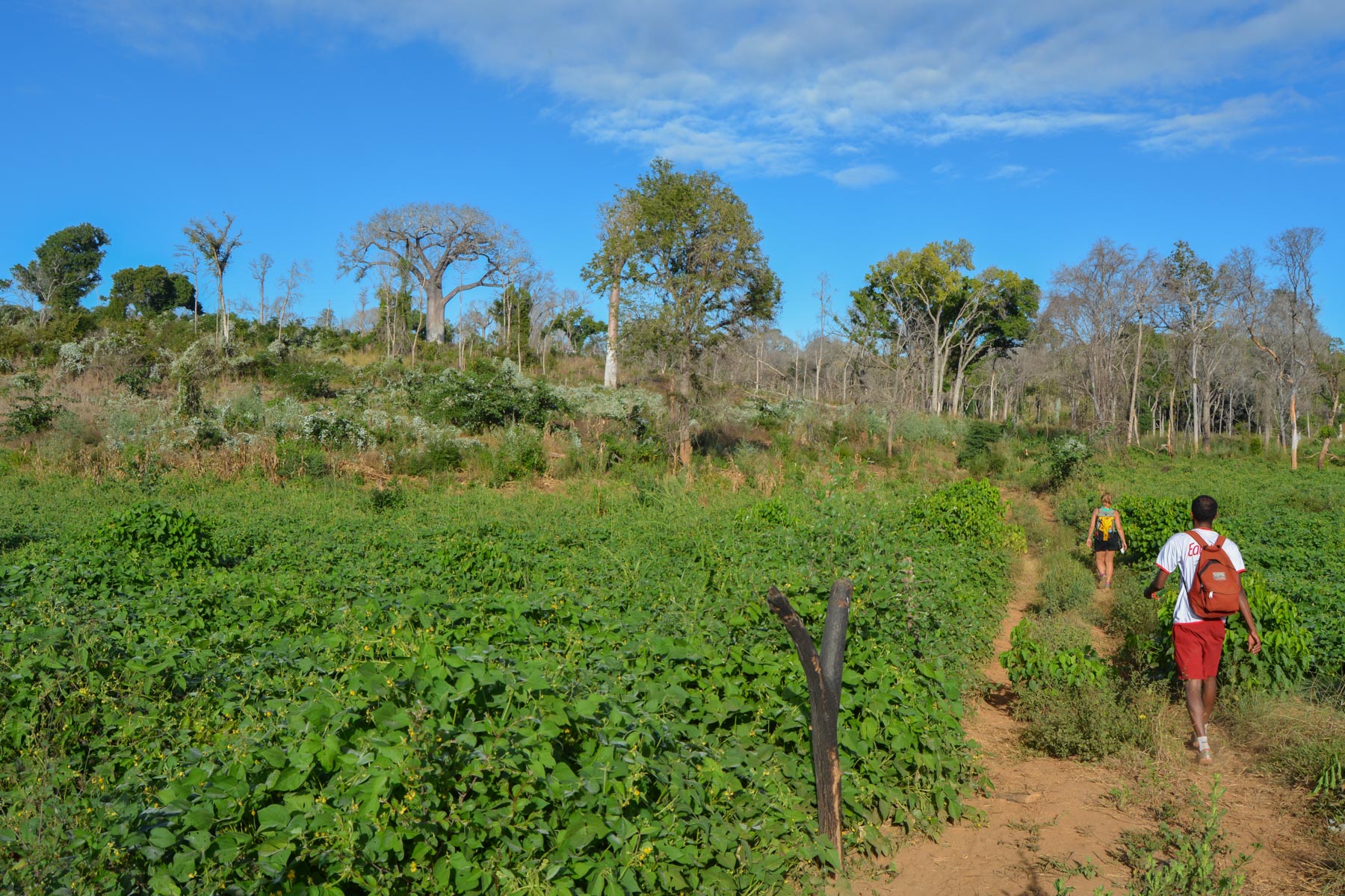
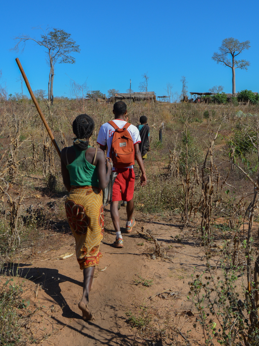
21 km of bush trails through rice fields and villages along the river. Very little elevation gain (110m cumulative) and limited interest in this part of the trip. On the other hand, the encounters with the villagers and especially the schoolchildren are very pleasant. 50 pupils per class from CP to CM2, with 2 teachers to manage them... Conditions couldn't be more difficult, yet a warm welcome and lots of smiles!
From Berevo, take the boat back down the Tsiribihina for several hours to reach the village of Tsaraotana. Bivouac either on a sand spit in the middle of the river, or on the banks opposite the village.
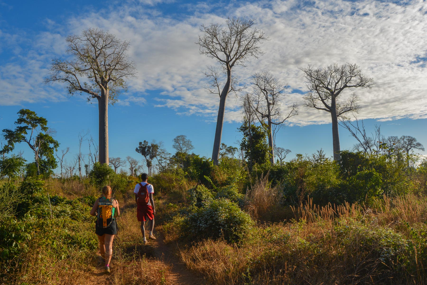
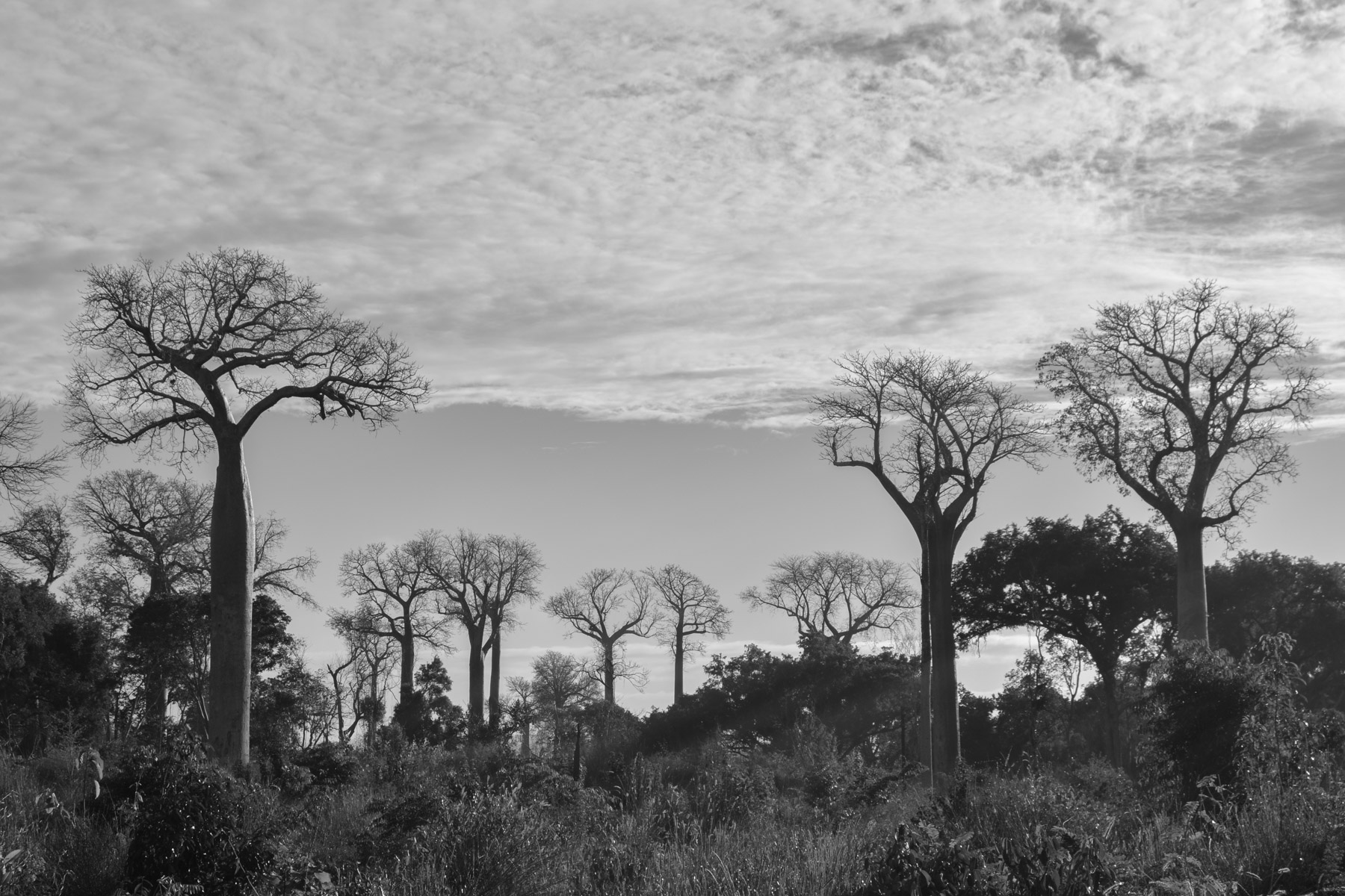
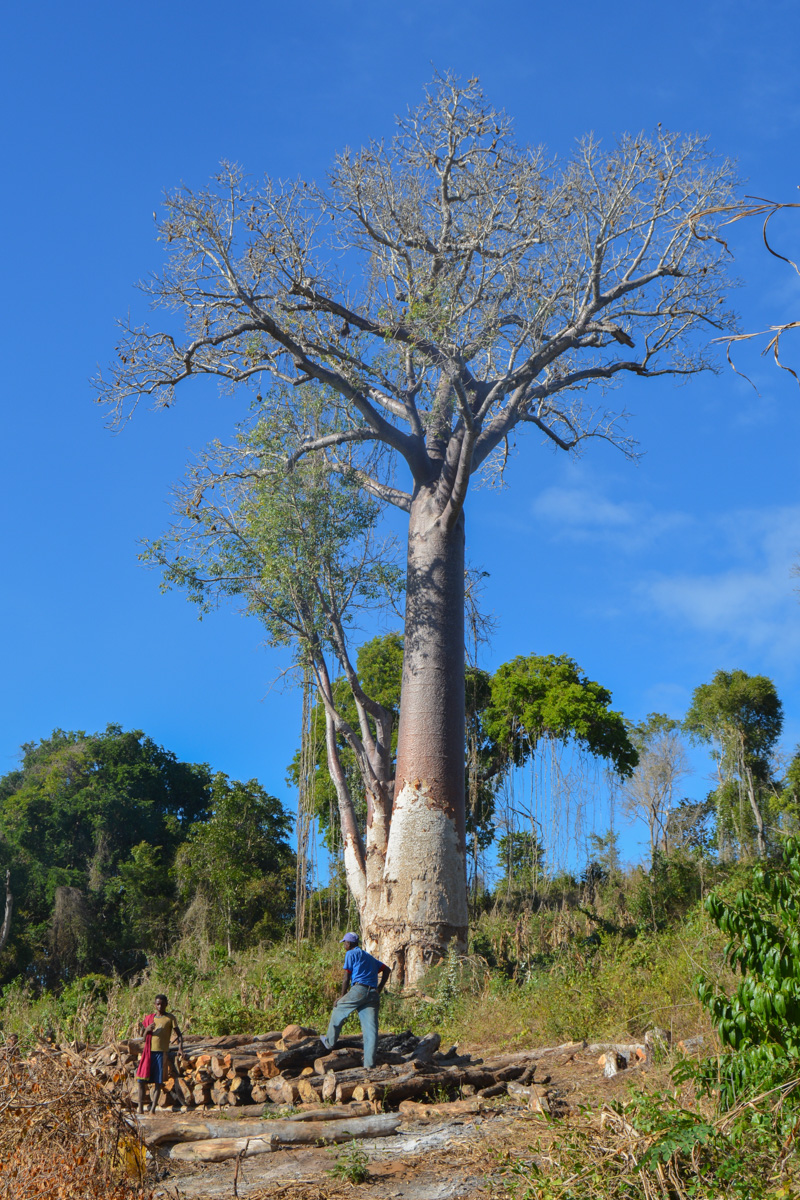
17 km of bush trails, but this time in a rather exceptional setting: a gigantic forest of baobabs, just as gigantic! The terrain is more undulating, and we pass through a number of traditional villages, sometimes right in the middle of the giants. It's hard to resist these unimaginably shaped trees. An African bush atmosphere guaranteed.
From Tsimafana, resume navigation to reach the Belo pier fairly quickly.


Leave a Reply