


TOPO Hiking | CLIMBING7.COM
Publié le
 Partager sur WhatsApp
 Partager sur Twitter
Partager sur Instagram
Partager sur Twitter
Partager sur Instagram

 Partager sur Facebook
 Imprimer le topo
 Laisser un commentaire
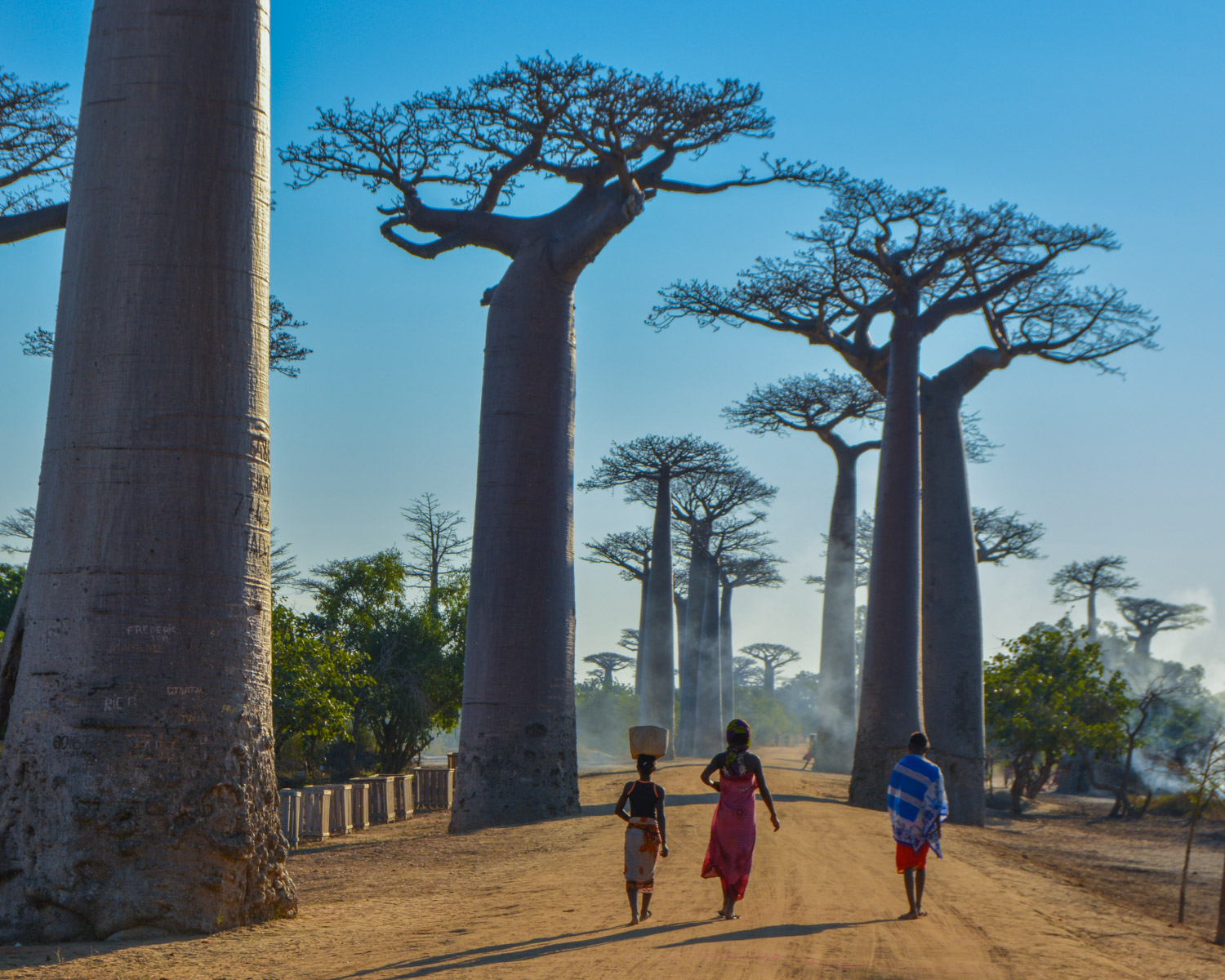
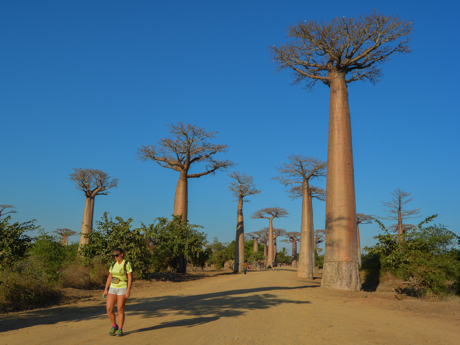
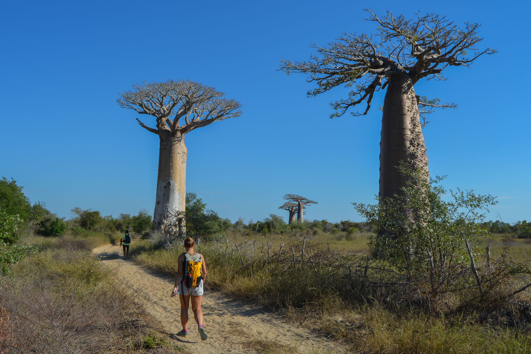
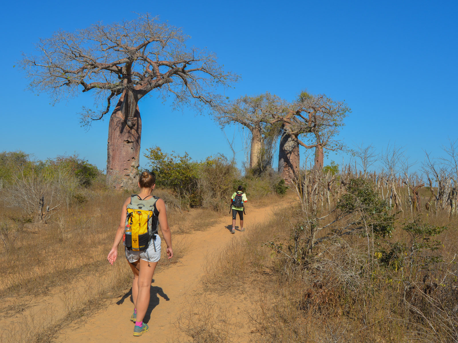
For the 6th and final stage of the Trail de l'Ile Rouge, a course starting from the allée des baobabs crosses the bush to pass through the small village of Mangily, the border with the mangrove zone bordering Madagascar's west coast to the north of Morondava, and finishes on Kimony beach, facing the Mozambique Channel. While the 1st part up to Mangily is superb, with bush landscapes dominated by sumptuous baobabs, the 2nd part, which climbs up behind the dunes, is more monotonous. This remains a rather interesting option if you don't want to limit yourself to the baobab alley, which is certainly quite fantastic but stretches over a hundred meters. It's also an opportunity to visit villages in Sakalava territory.
❱❱ Technical summary
Type ✦ Hiking Trail
Location ✦ Allée des baobabs
Region ✦ Morondava
Country ✦ Madagascar
Length ✦ 24kms
Vertical drop ✦ 25m
Difficulty ✦ MD
Duration ✦ 5h to 7h
Interest ✦ ★★
❱❱ Access to the place
From Morondava, take the RN 38 back to Miandrivazo and fork left onto the track (Route 8) which climbs due north to the baobab alley site. Get dropped off there and bring your own vehicle for the return journey from Kimony.
❱❱ Map & topo
❱❱ Itinéraire
None, with the trek starting from Baobab Alley
The route is not technically difficult, but it is quite demanding because of the distance and the heat. Bring plenty of water, as there are no refreshments along the way. The itinerary is not signposted, but always follows tracks or paths used by the villagers. While the 1st part to Mangily is easy to find your way around, the second part is much trickier.
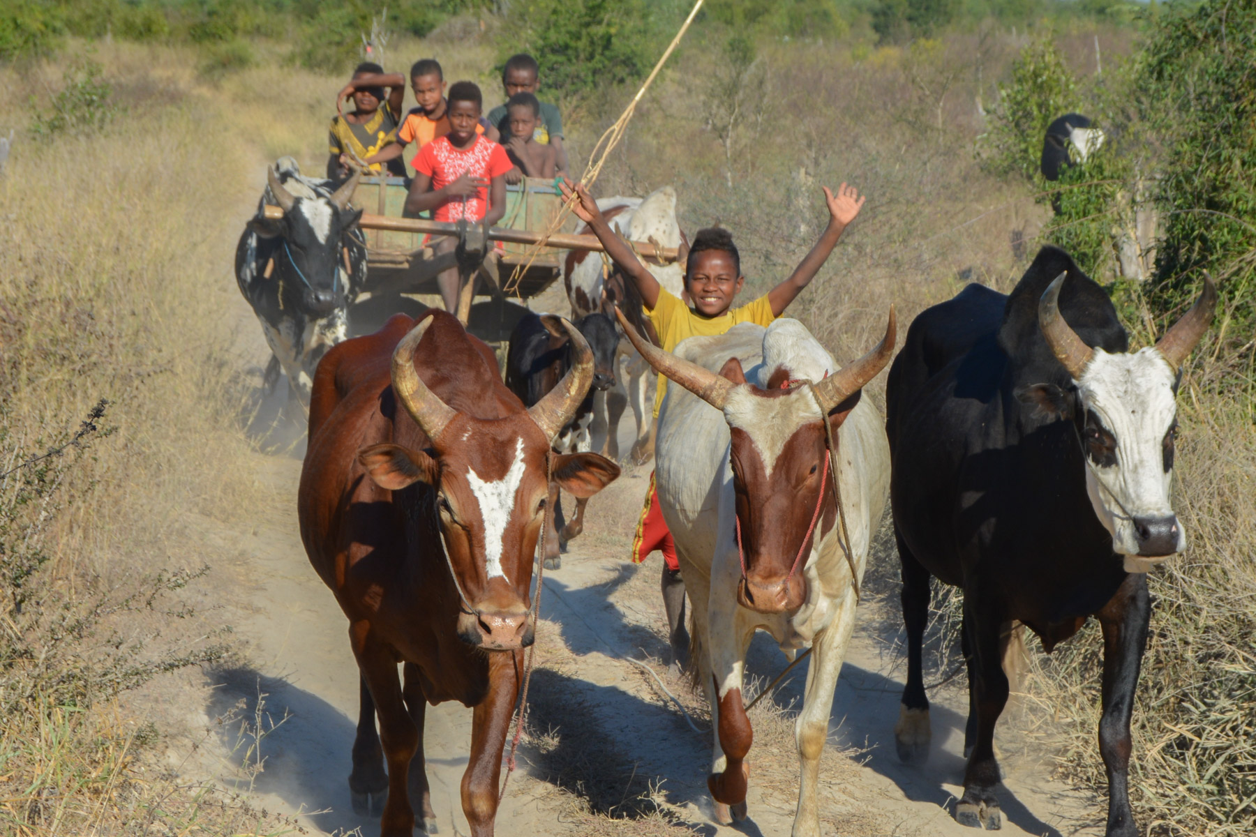
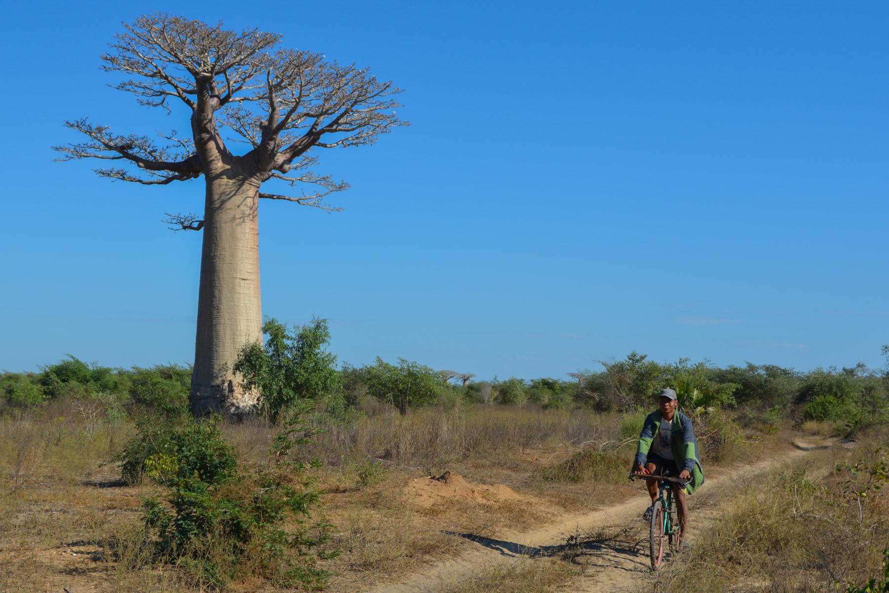
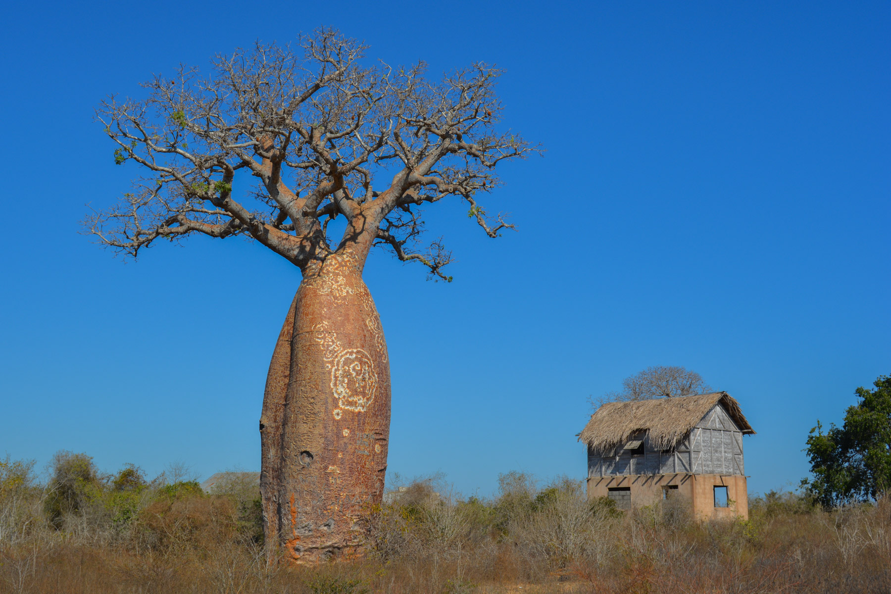
A long straight stretch in a picture-postcard setting! The wide track runs alongside magnificent baobabs, and local traffic completes the picture: rickshaws, taxi-brousse, zebu carts, bicycles... At the end of this long track, fork left onto a narrower track that runs deep into the bush. We follow it for a while to discover superb new spaces and to pass at the foot of the baobab tree in love.
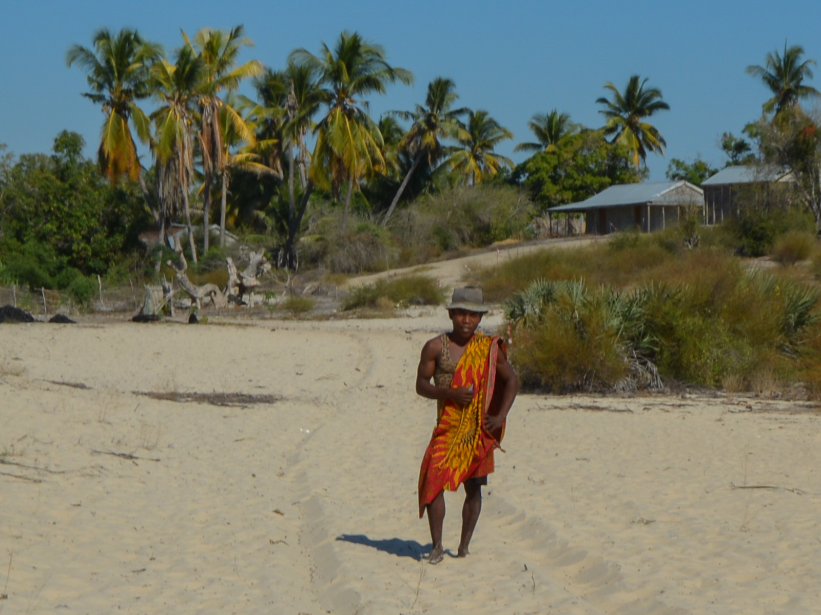
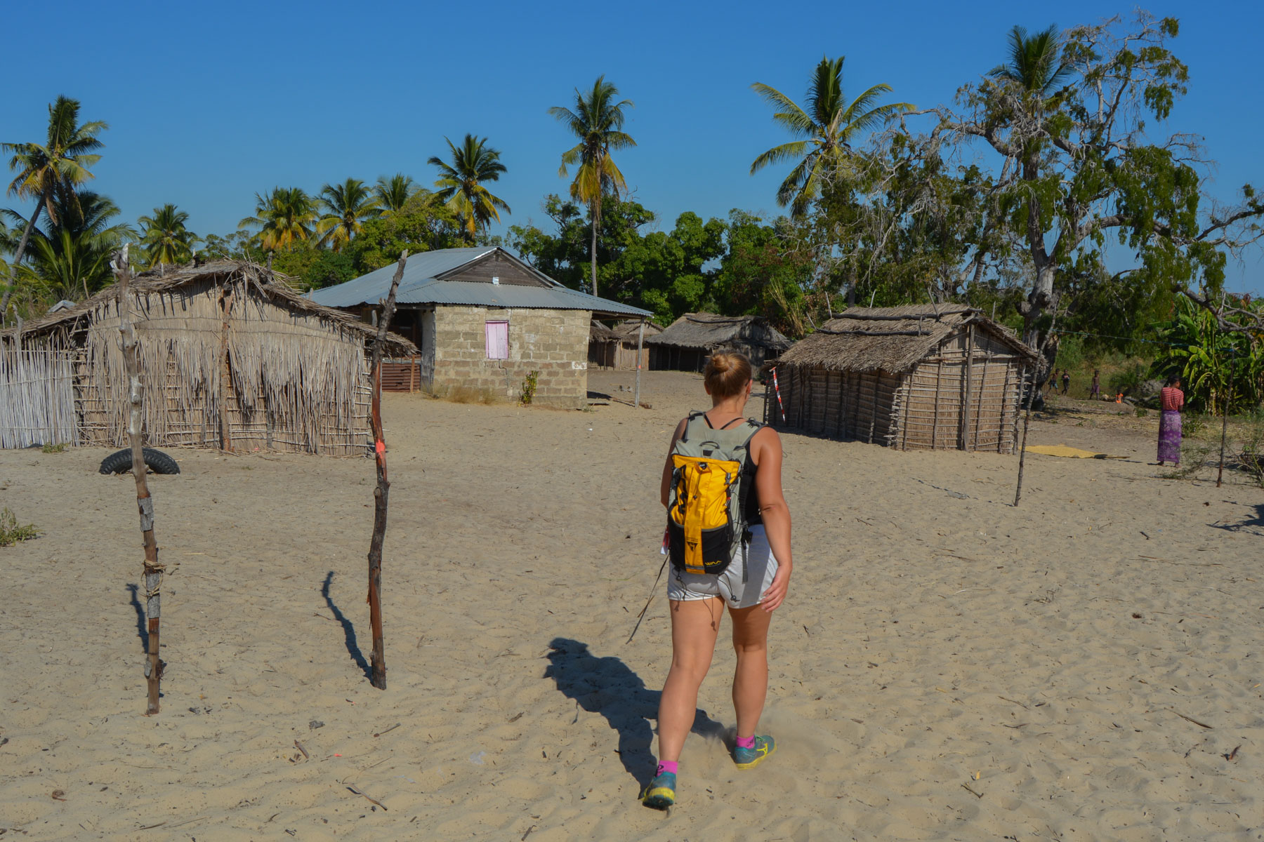
Continue on the main track, with new baobab panoramas, until you reach the village of Mangily, about halfway along. A short visit is in order: the school, the mud houses, the well and why not the mangrove behind accompanied by the fishermen.
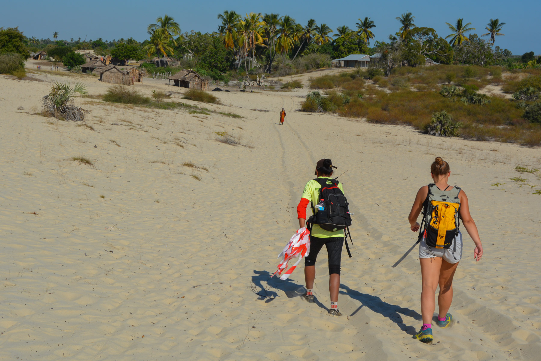
Leaving the village, we enter a different zone, where the baobabs have disappeared, giving way to mangroves and dunes. A long crossing on the sand before weaving our way through denser bush. Here the route is much trickier.
Finally, you cross a dune to reach a fishing village. Follow the road for a long time and finally emerge behind the Kimony hotel, which you can walk alongside to reach the beach via the main track from Morondava.
Walk back from the beach to the track, from where you can easily head back to Morondava.


Leave a Reply