


TOPO Hiking | CLIMBING7.COM
Publié le
 Partager sur WhatsApp
 Partager sur Twitter
Partager sur Instagram
Partager sur Twitter
Partager sur Instagram

 Partager sur Facebook
 Imprimer le topo
 Laisser un commentaire
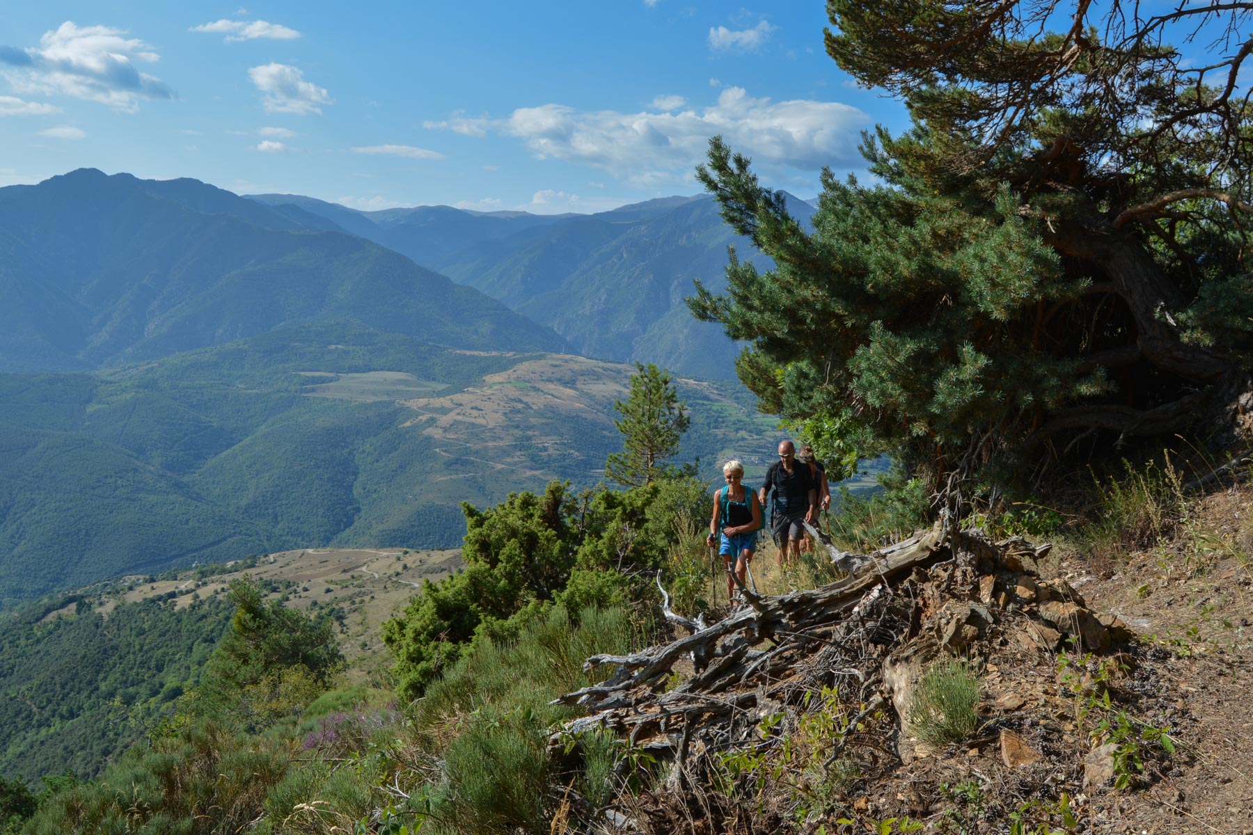
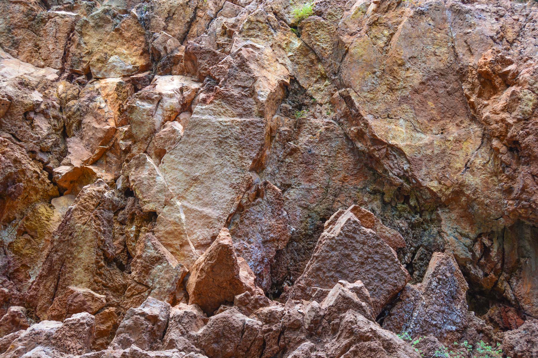
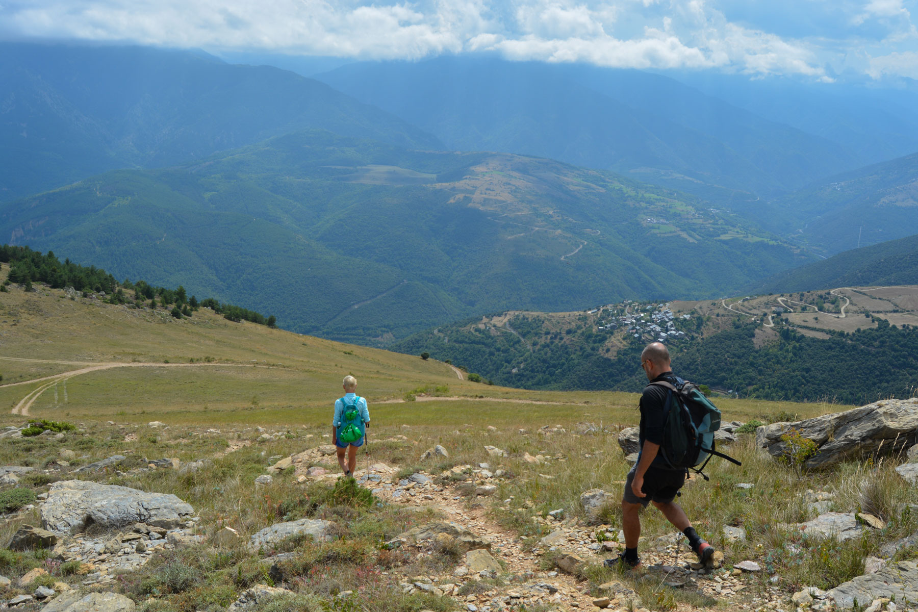
Starting out from Jujols, a pretty little Catalan village facing the Canigou, the sentier des carrières forms a looped route on the heights above the village, crossing the Jujols nature reserve. On the way up and down, you'll enjoy lovely panoramic views of the peaks of the Catalan Pyrenees, including the Pic du Canigou. On the way back down, you pass through a former red marble quarry: the Roc Vermell marble quarry, which was active in the 19th and early 20th centuries and has since been abandoned. The hike is fairly long, with a reasonable but not particularly difficult gradient. All in all, a pleasant walk in a mid-mountain forest atmosphere, and with the right conditions, the possibility of bringing back a fine flock of porcini mushrooms.
❱❱ Technical summary
Type ✦ Hiking
Location ✦ Jujols
Region ✦ Pyrénées Orientales
Country ✦ France
Length ✦ 14kms
Dénivelé ✦ 850m
Difficulty ✦ MD
Max altitude ✦ 1760m
Duration ✦ 4h to 5h
Interest ✦ ★
❱❱ Access to the place
On the N116 from Mont-Louis towards Perpignan, just after Olette, take the small road that rises for 5 km to reach Jujols. Park in the parking lot above the church.
❱❱ Map & topo

❱❱ Itinéraire
Return from the parking lot in the village and go up the narrow streets to find the start with a sign indicating "Chemin des Bergeries".
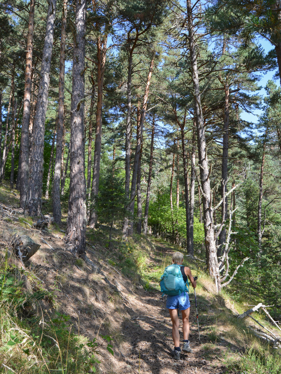
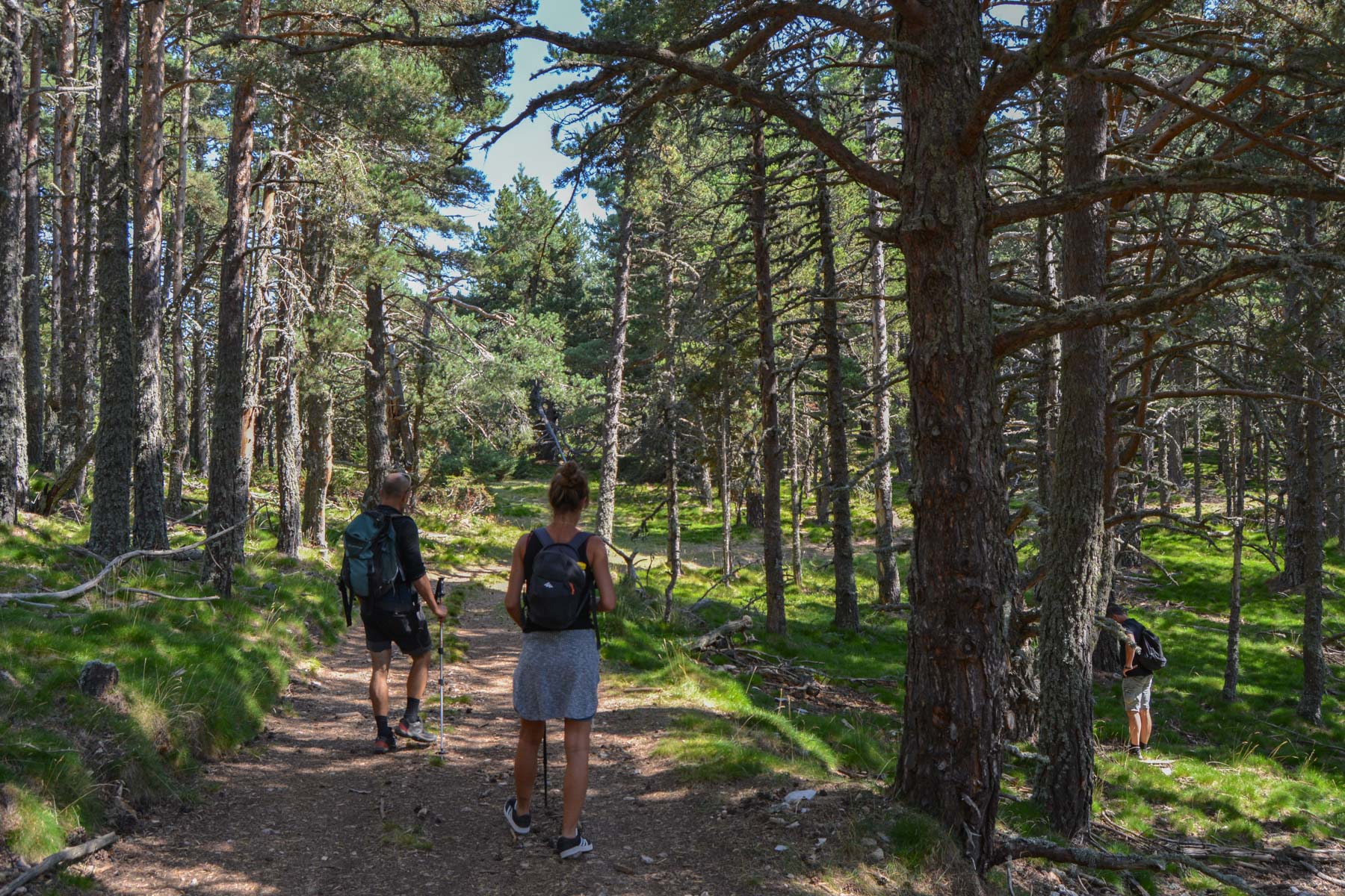
The route is generally signposted with a yellow line (PR), but as several routes overlap, the 25:000 IGN map is essential for navigation. The route alternates between footpaths, forest tracks and stabilized trails. About 850m of ascent, most of which is overcome in the 1st section up to La Collada. The route is south-facing, but much of it takes place in the shade of pine trees.
At the start, the trail marked in yellow does not correspond with the trace on the IGN map. We go further to the right of the uphill track before rejoining it further up. There's a yellow signpost indicating Chemin des Bergeries. Climb a little and turn right for the steepest part in the undergrowth. A series of hairpin bends and then a steep forest track. This takes you into the Jujols nature reserve. The path then levels out a little to reach La Collada.
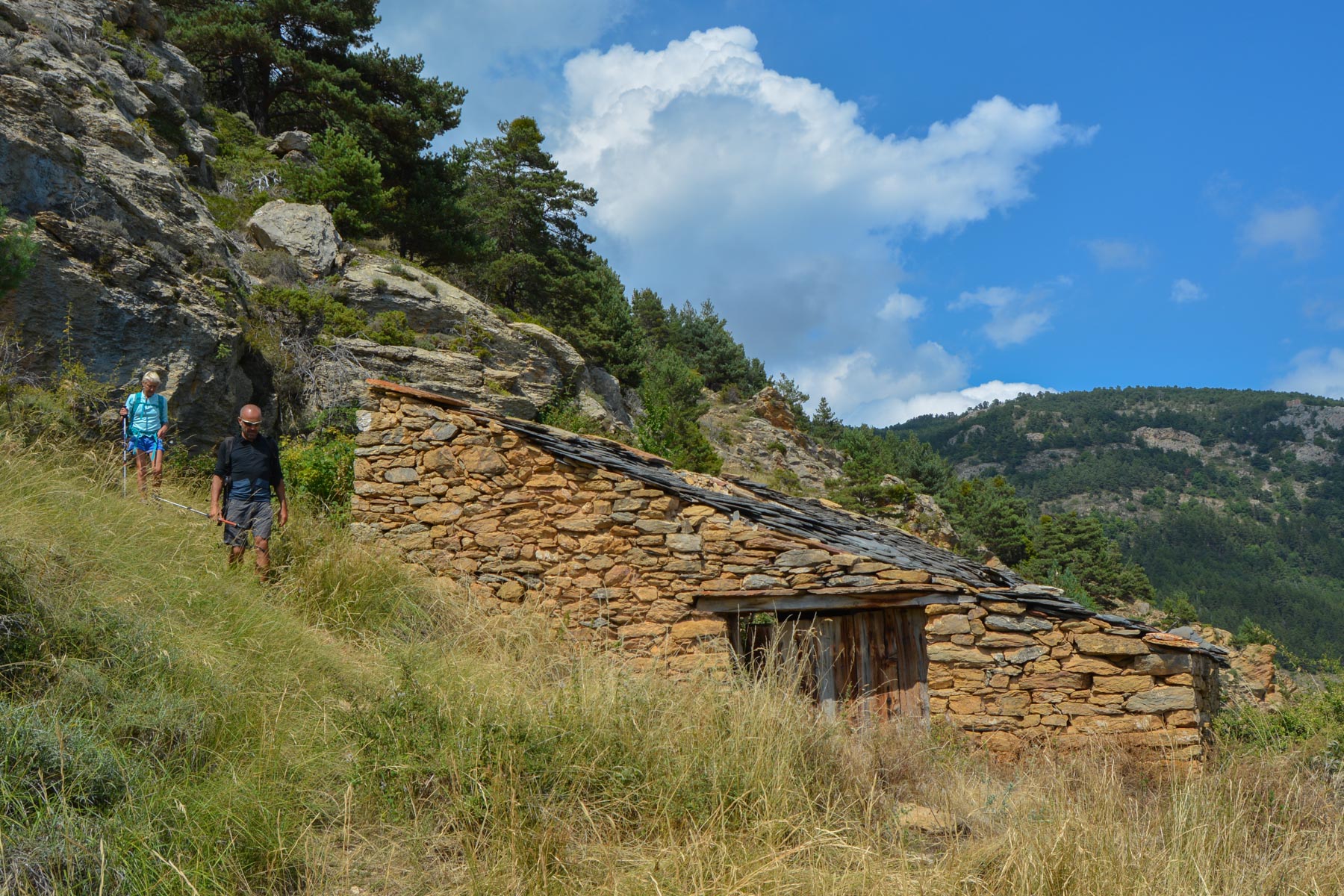
From La Collada, the track crosses eastwards without really going up or down. We pass under a small cliff, then after descending a little and skirting La Tartera (1793m), we reach a place called "Roca Roja de la Serra Pelada". Here, there's a large yellow cistern and the track bends round to head south towards the quarries. Further down, you'll see mounds of red stone and then the entrance to the quarry itself, an uncultivated corridor at the end of which is a small quarry of scarlet rock, with remnants of the era on the ground (iron rails from the wagons used to transport the stones).
Below the quarry, continuing on the winding track, you pass under the Roca Fumada, a sort of red/pink mini-cliff. Further down, the main track from Villefranche continues downhill, and as you switch to the Jujols side, there are paths that cut across the bends in the track. Then, in one of the bends below, you'll find the start of a less well-marked path that will take you back to the village, traversing the flank and undergrowth.
Once you've reached the first houses, cross over and go down the narrow streets to the church and parking lot.


Leave a Reply