


TOPO Via ferrata | CLIMBING7.COM
Publié le
 Partager sur WhatsApp
 Partager sur Twitter
Partager sur Instagram
Partager sur Twitter
Partager sur Instagram

 Partager sur Facebook
 Imprimer le topo
 Laisser un commentaire

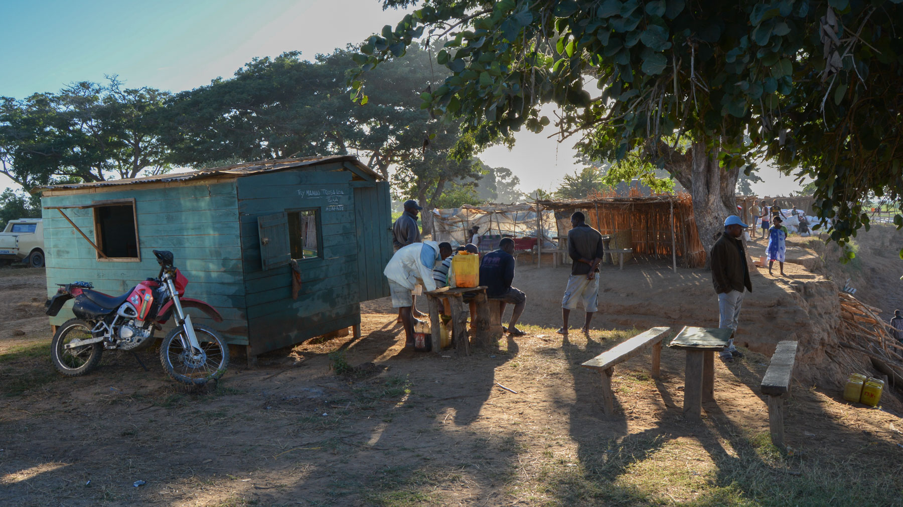
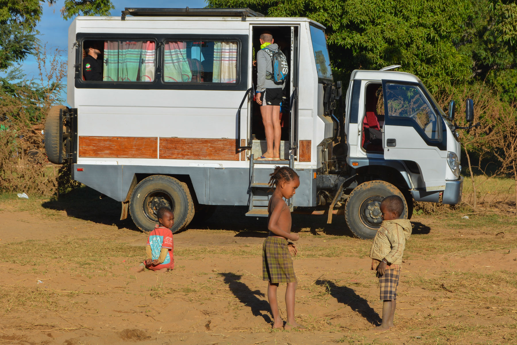
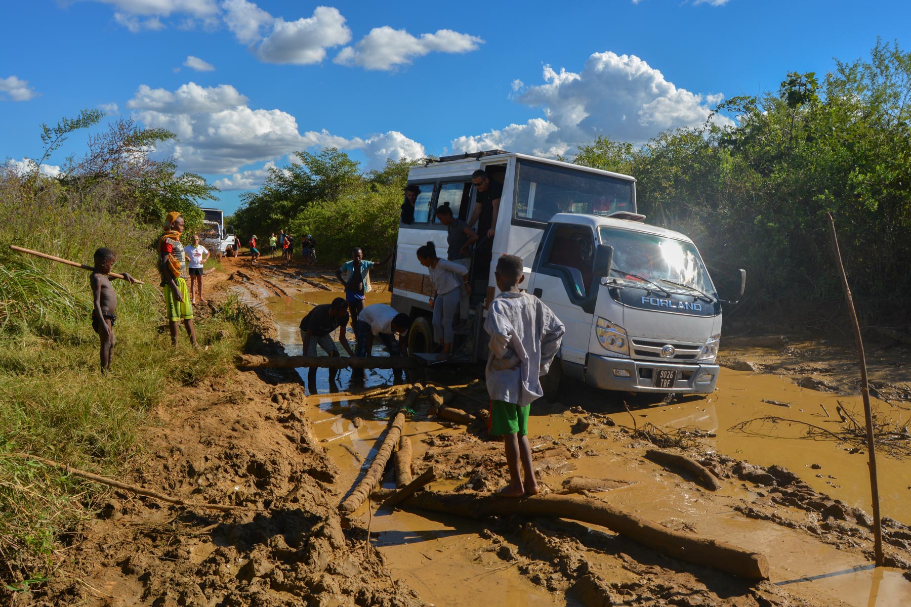
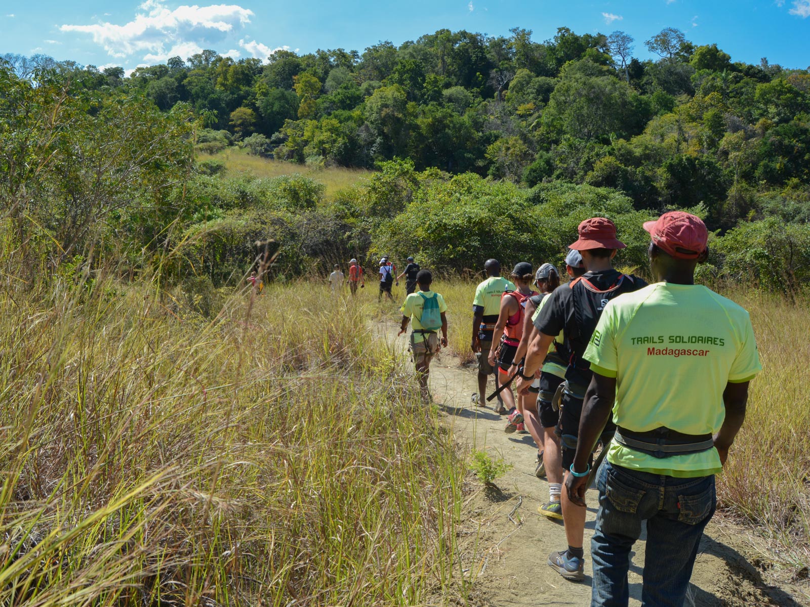
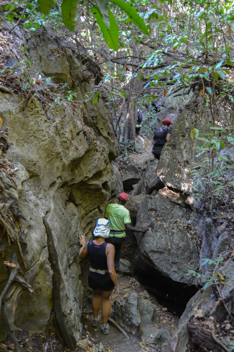
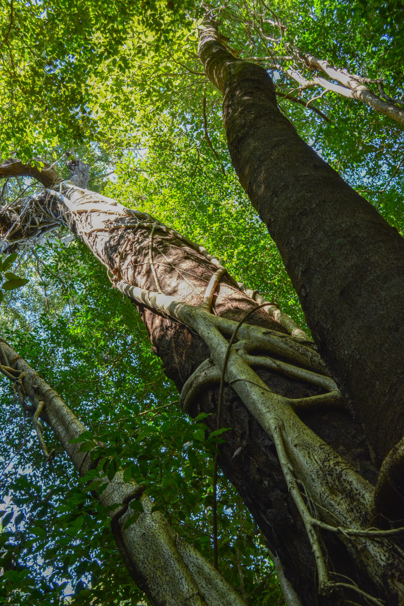
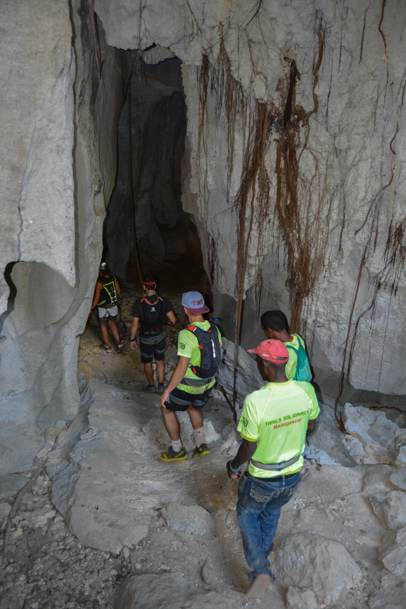
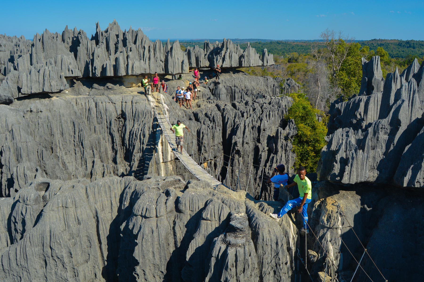
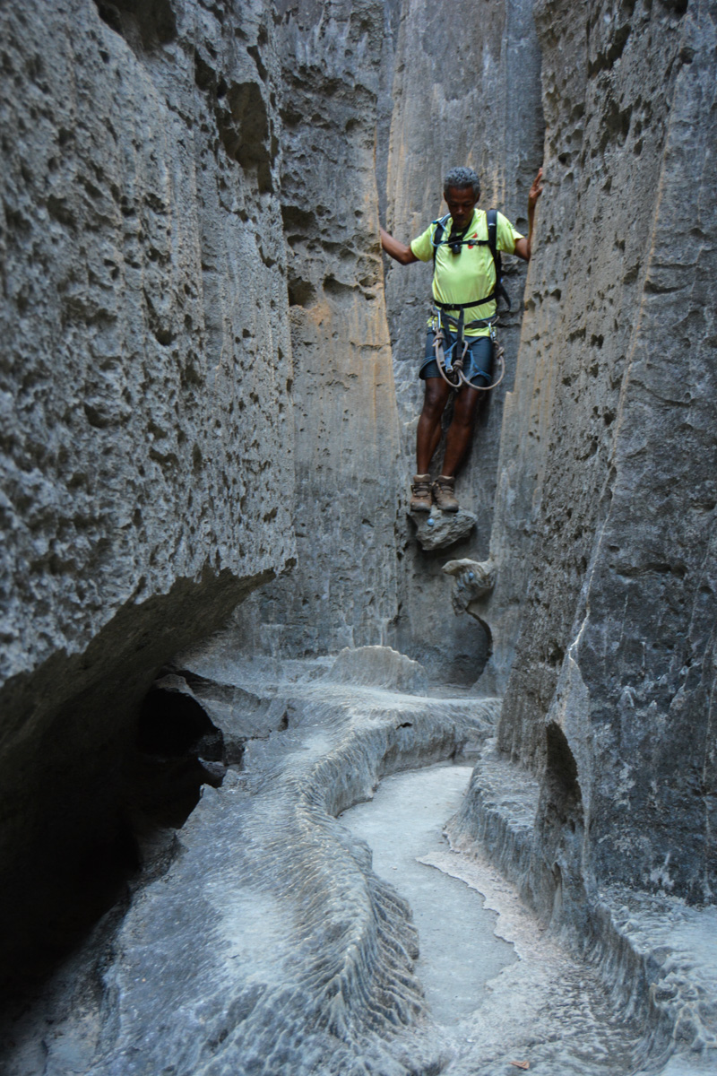
Deep in western Madagascar, 150 kms north of Morondava, the Tsingy de Bemaraha rise up out of the bush: a gigantic uplift of limestone plates forming a veritable field of sharp, tangled needles and spurs. The Andamozavaky circuit is the official loop of the national park and offers a beautiful tour of the heart of the massif, from the most subterranean parts to the summits. The route is halfway between a via ferrata and an equipped trail, with several suspension bridges (the main one is around 15 m long) and numerous ladders to climb or unclimb the steepest passages. You can also spot lemurs as you look up into the forest bordering the massif. Totally isolated and very difficult to access with 8h of 4×4 driving on more or less broken tracks, the site remains impressive despite its isolation and the obligation to walk there with a guide on the official route. Whether it's worth 2 full days of 4×4 on uninteresting trails remains to be seen...
❱❱ Technical summary
Type ✦ Via Ferrata
Location ✦ Bekopaka
Region ✦ Belo-sur-Mer, Melaky
Country ✦ Madagascar
Length ✦ 3km
Difficulty ✦ K2
Duration ✦ 2h to 3h
Interest ✦ ★★
❱❱ Access to the place
From Morondava, follow the track up to Belo sur Tsiribihina, then 100 km of track to Bekopaka, after crossing the Mananbolo river. Continue for a further 18 km on a track that is still difficult in places, before finally reaching the Tsingy de Bemaraha site.
❱❱ Map & topo

❱❱ Itinéraire
Walk through fields and forest to the fork on the right that leads to the cave section.
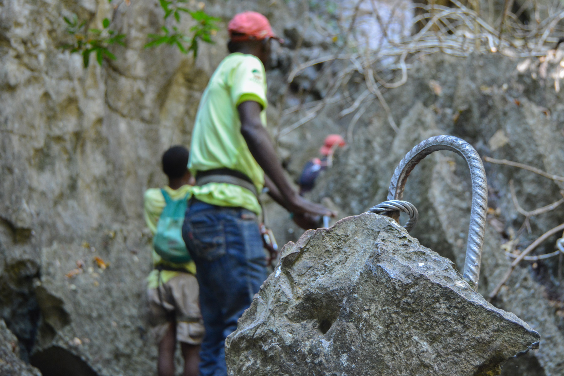
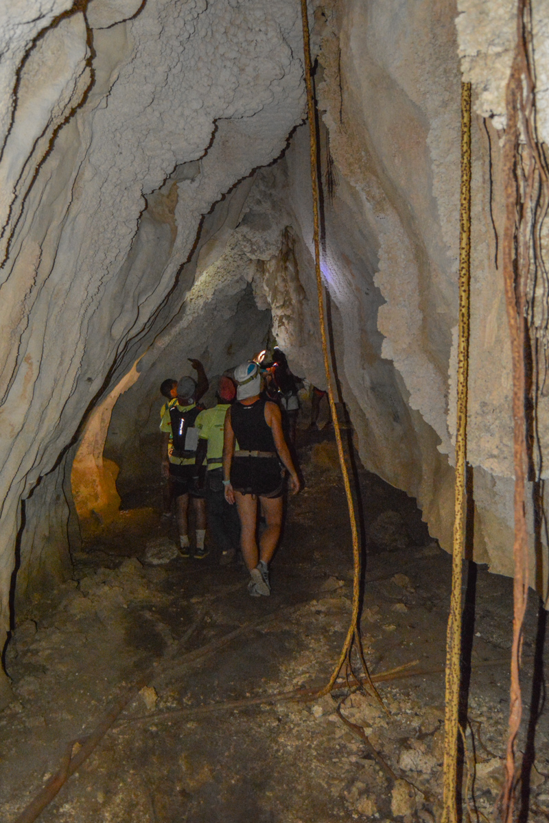
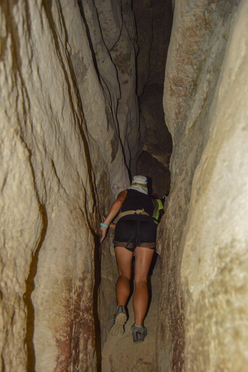
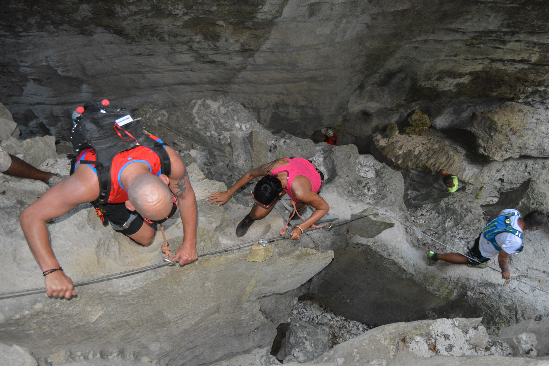
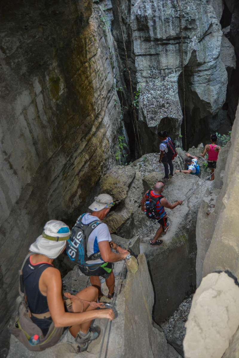
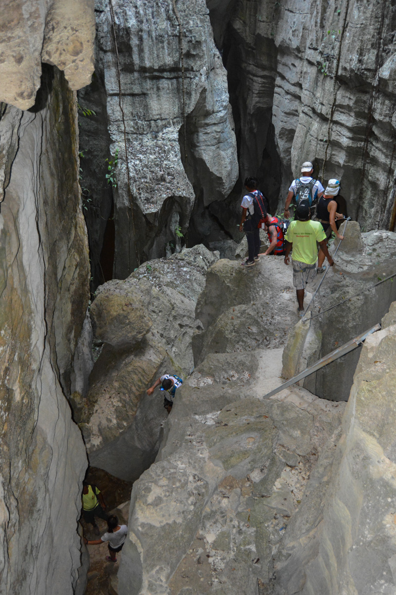
The course is fully equipped, even generously so. No real difficulty, but the underground and aerial passages can be impressive. Progress is also difficult, hence the name Tsingy, which in Malagasy means "where you can't walk barefoot".
A guide is compulsory, and equipment is provided (harness, double lanyard, no dissipator, etc.). A few small, easy passages to climb or unclimb. Several suspension bridges, including the one at the summit, about halfway along the route.
The same 15' back on the approach path to the parking lot.


Leave a Reply