


TOPO Via ferrata | CLIMBING7.COM
Publié le
 Partager sur WhatsApp
 Partager sur Twitter
Partager sur Instagram
Partager sur Twitter
Partager sur Instagram

 Partager sur Facebook
 Imprimer le topo
 Laisser un commentaire
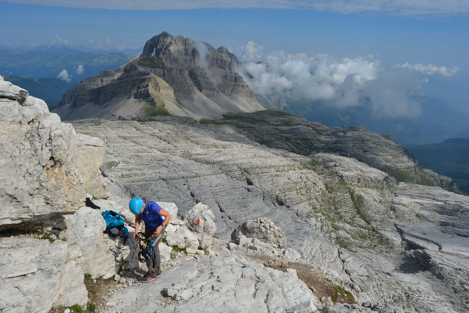
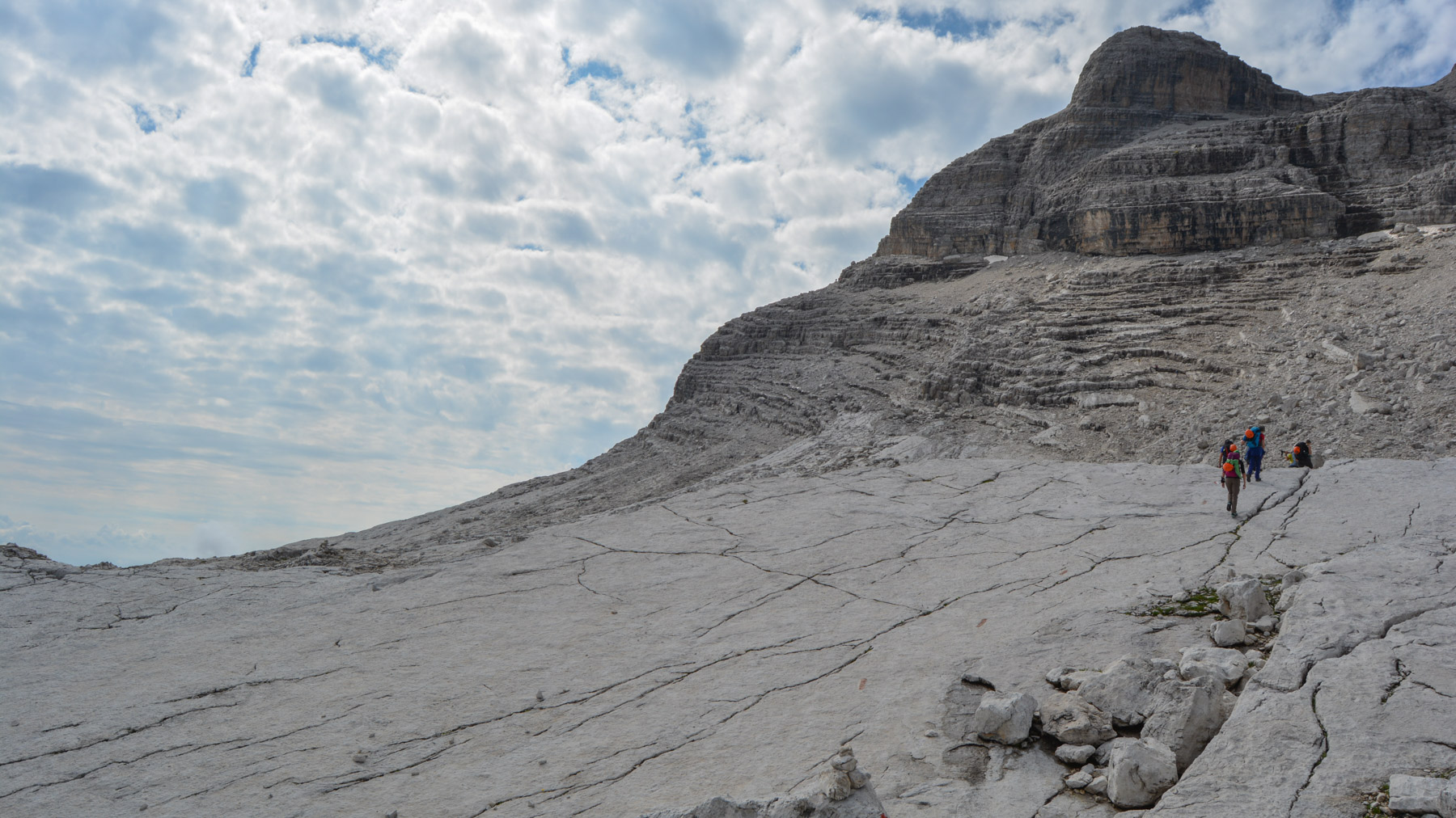
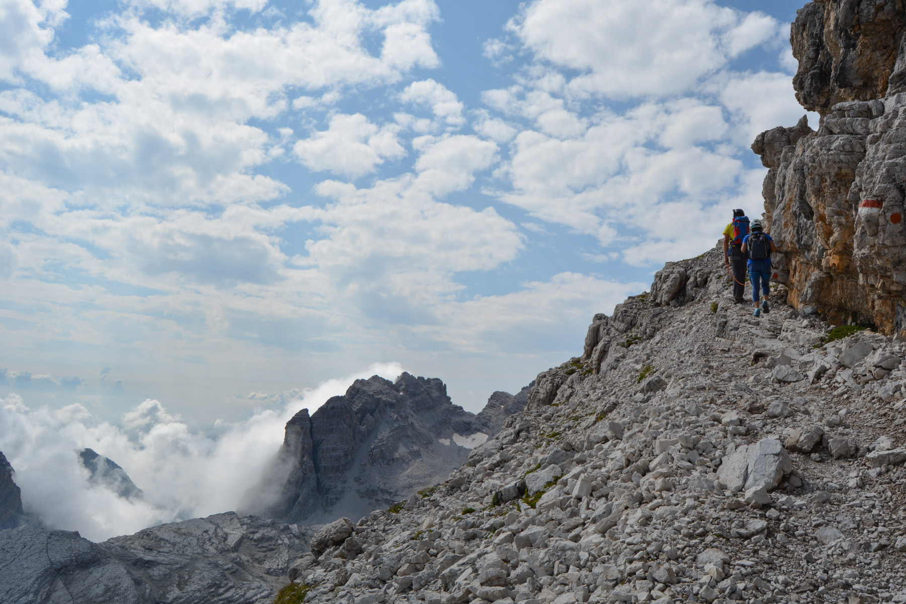
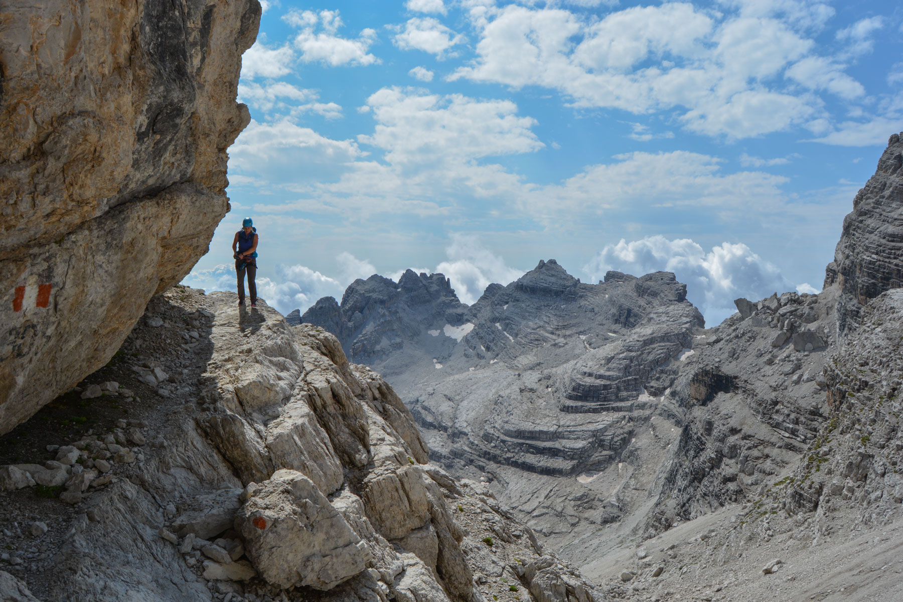
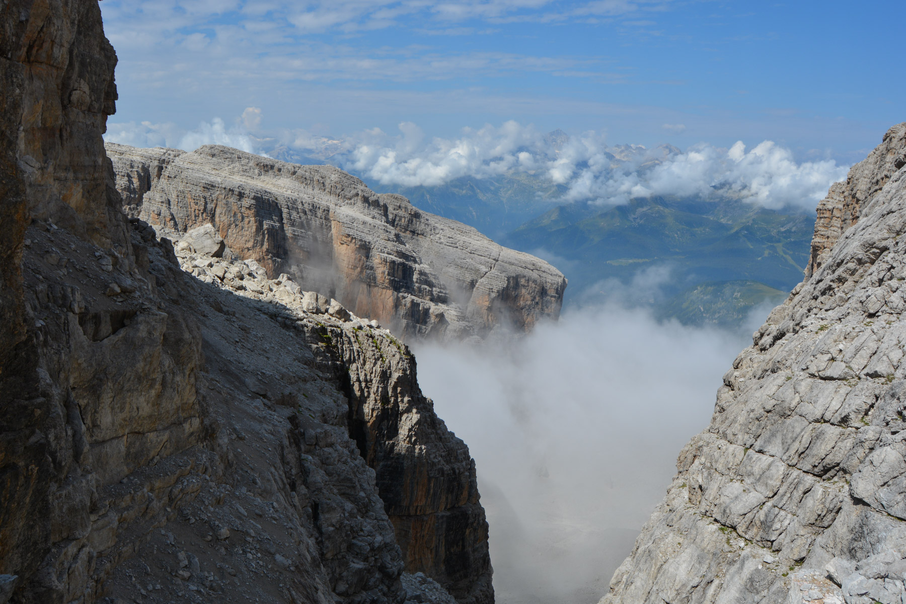
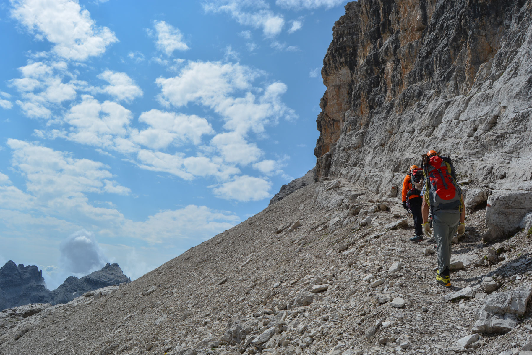
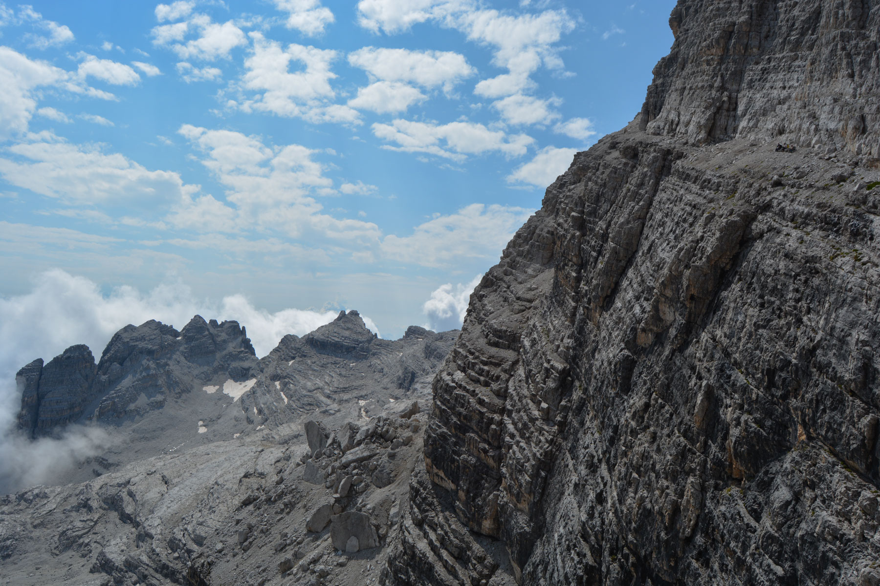
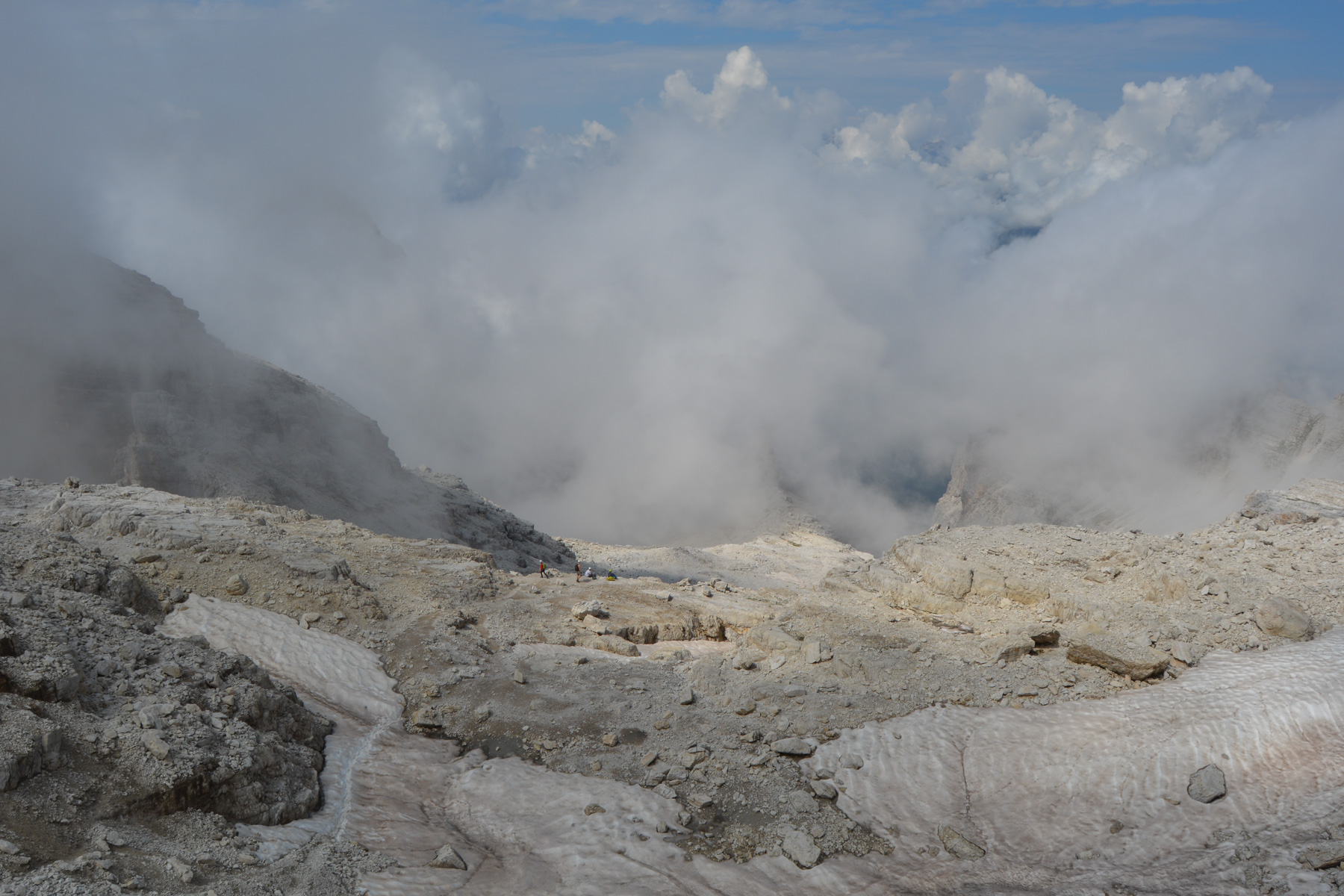
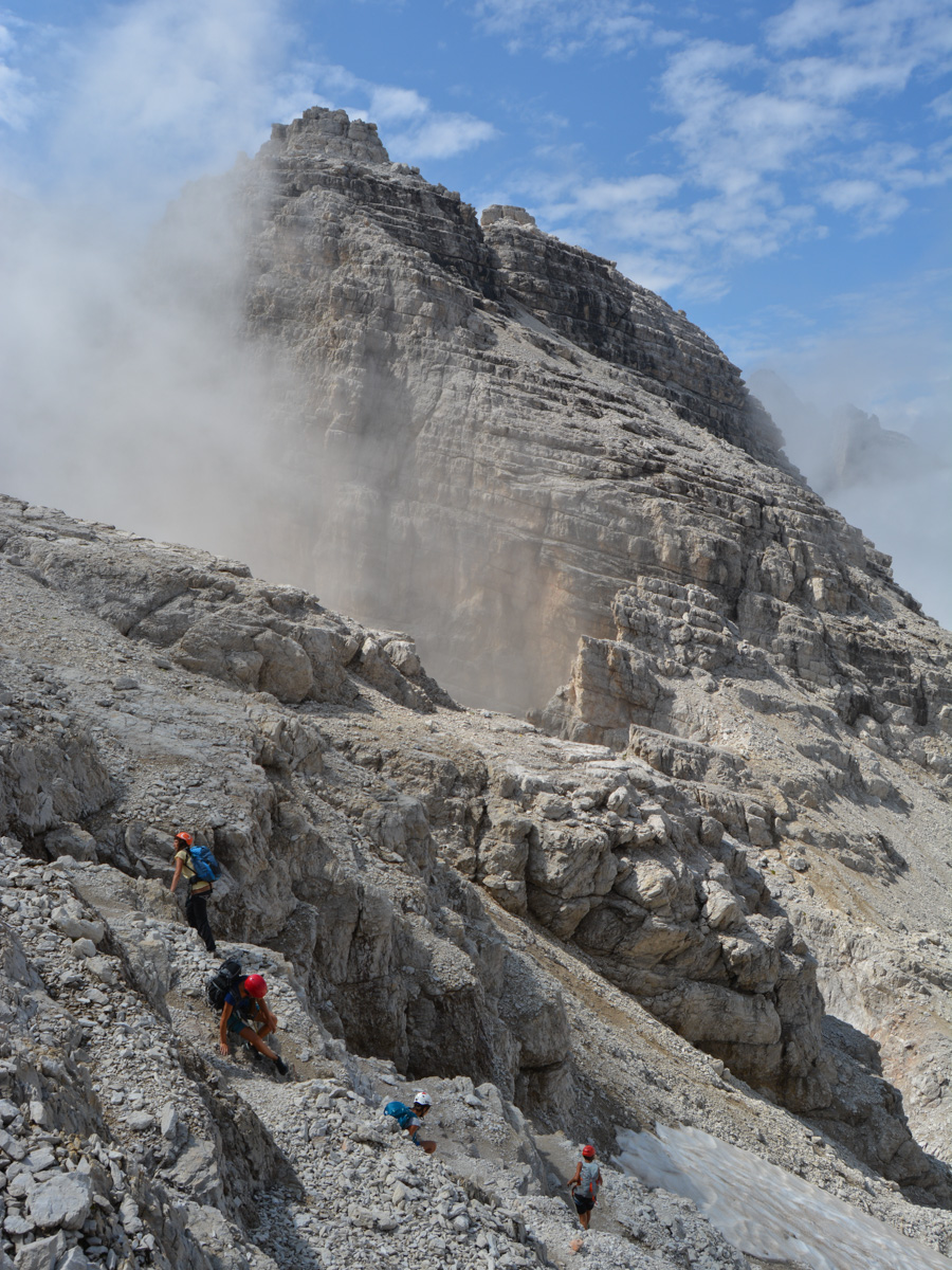
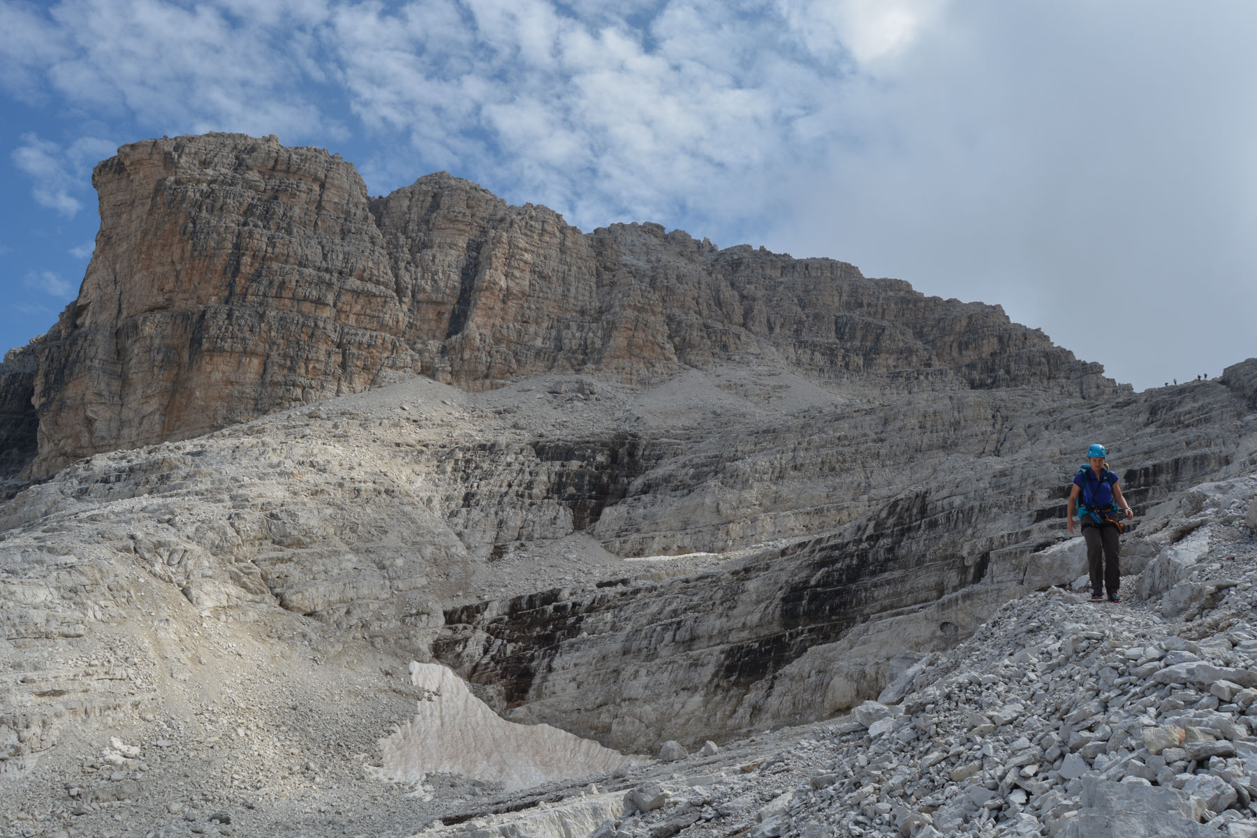
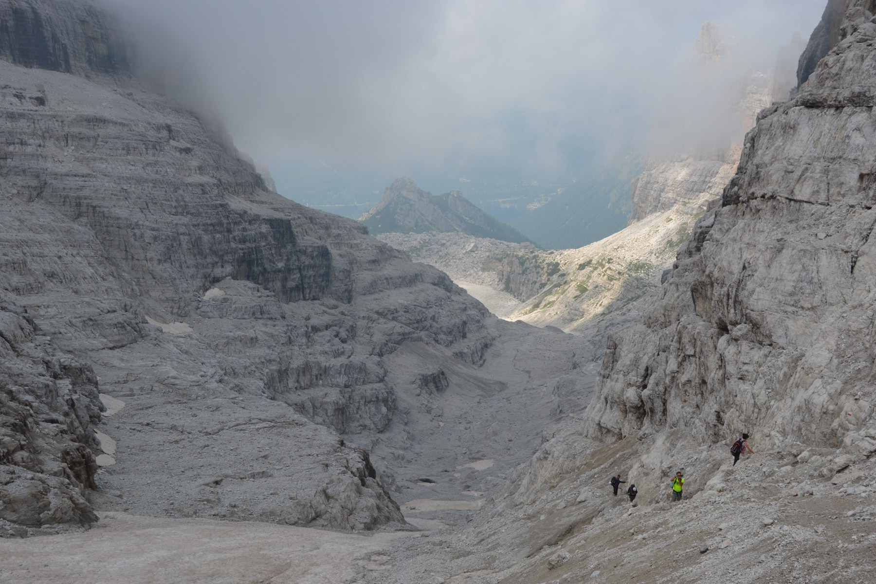
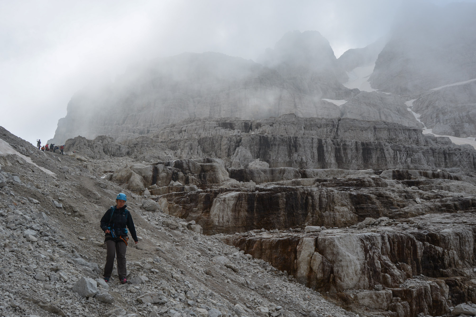
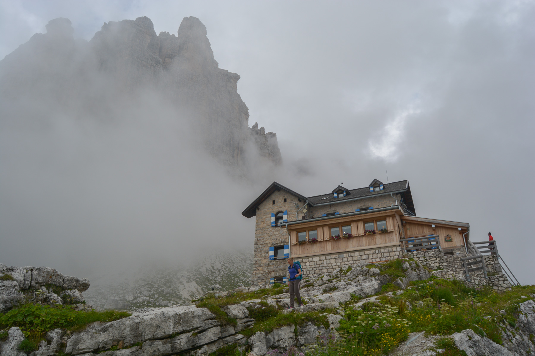
1st ferrata in the Dolomites! The Sentiero Benini is the northern section of the via delle Bocchette, which crosses the entire Brenta massif in the Italian Dolomites. The essence and origin of via ferrata, the route follows an unstoppable logic of natural progression, threading its way along the walls via a system of aerial ledges to bypass peaks at almost 3000m. The scenery is simply sumptuous, with, weather permitting, splendid views over the green valleys and sculpted, ashen facades of the surrounding massifs. There's no difficulty on this first outing, apart from the altitude and the numerous aerial passages, not to mention the weather conditions which can complicate matters at any time. An excellent introduction to the Dolomites. The topo described here offers the complete loop from Madonna di Campiglio and back via Vasinella. So there's quite a lot of trekking involved.
❱❱ Technical summary
Type ✦ Via Ferrata
Location ✦ Madonna di Campiglio
Region ✦ Trentino-Alto Adige, Dolomites
Country ✦ Italy
Vertical rise ✦ 530m
Negative altitude difference ✦ 1430m
Difficulty ✦ K2
Duration ✦ 4h to 5h
Interest ✦ ★★
❱❱ Access to the place
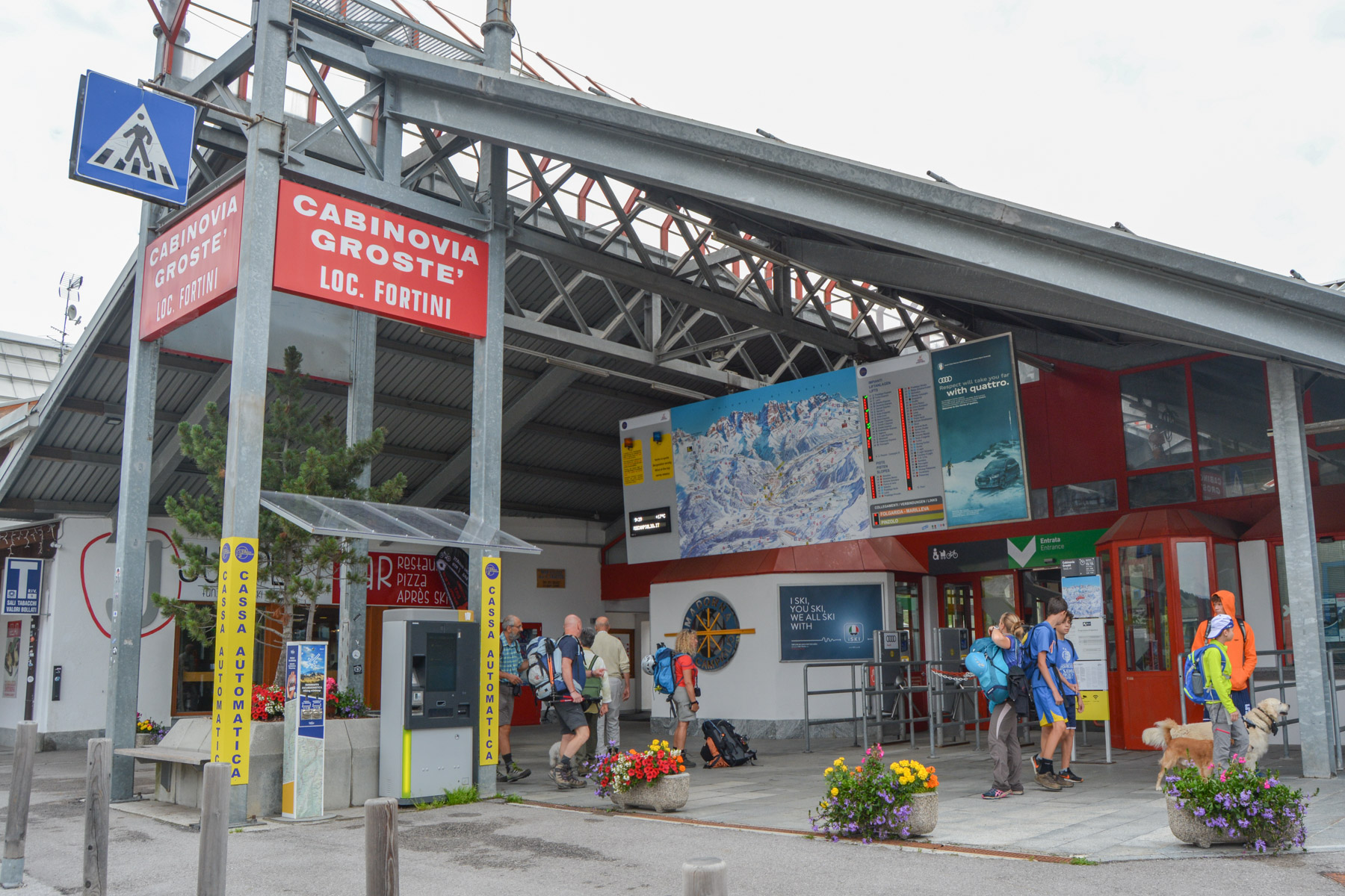
Getting to Madonna di Campiglio from Brescia or Trento. Take the tunnel up to the northern part of the town and park near the start of the Grosté cable car.
❱❱ Map & topo

❱❱ Itinéraire
Take the gondola up to the passo del Grosté at 2446m (currently 12.50 euros one way).
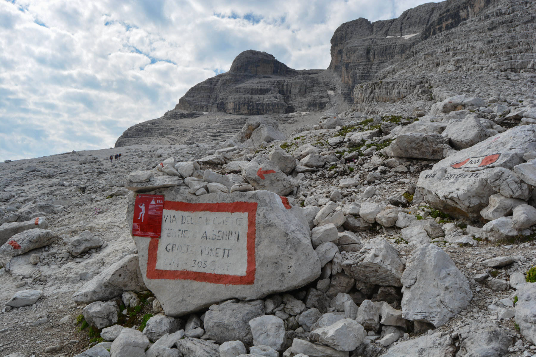
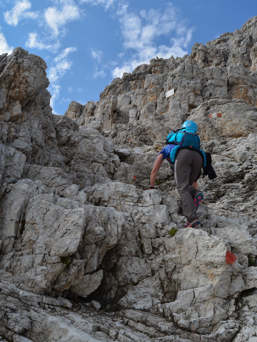
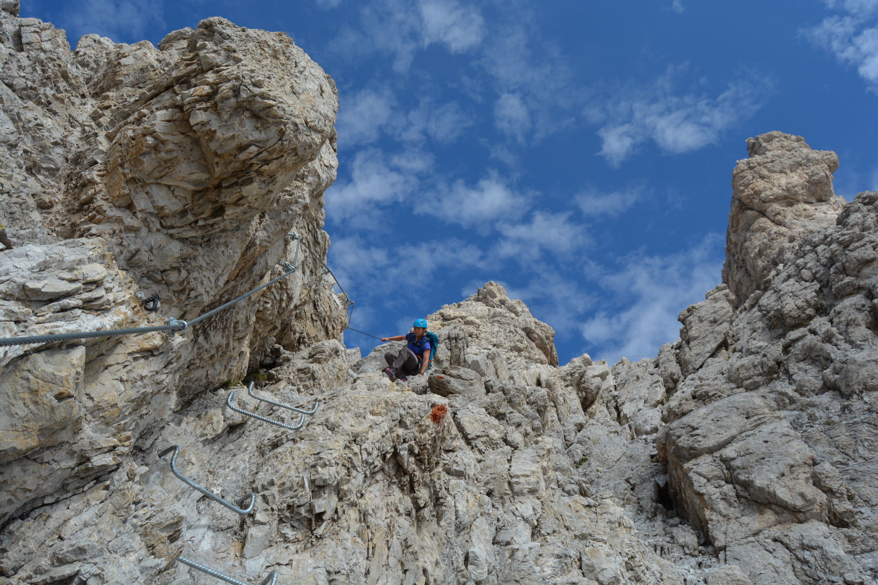
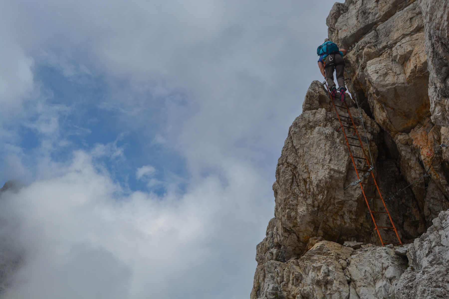
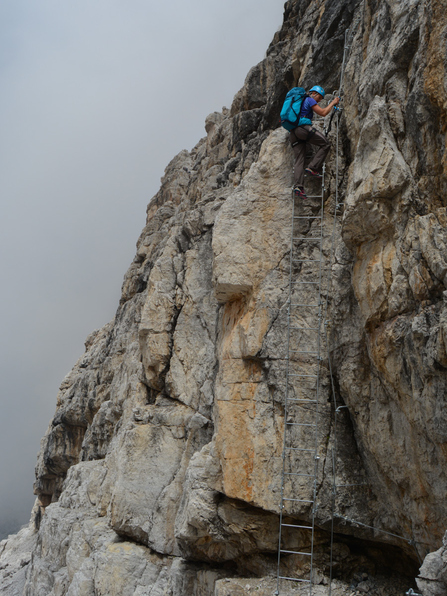
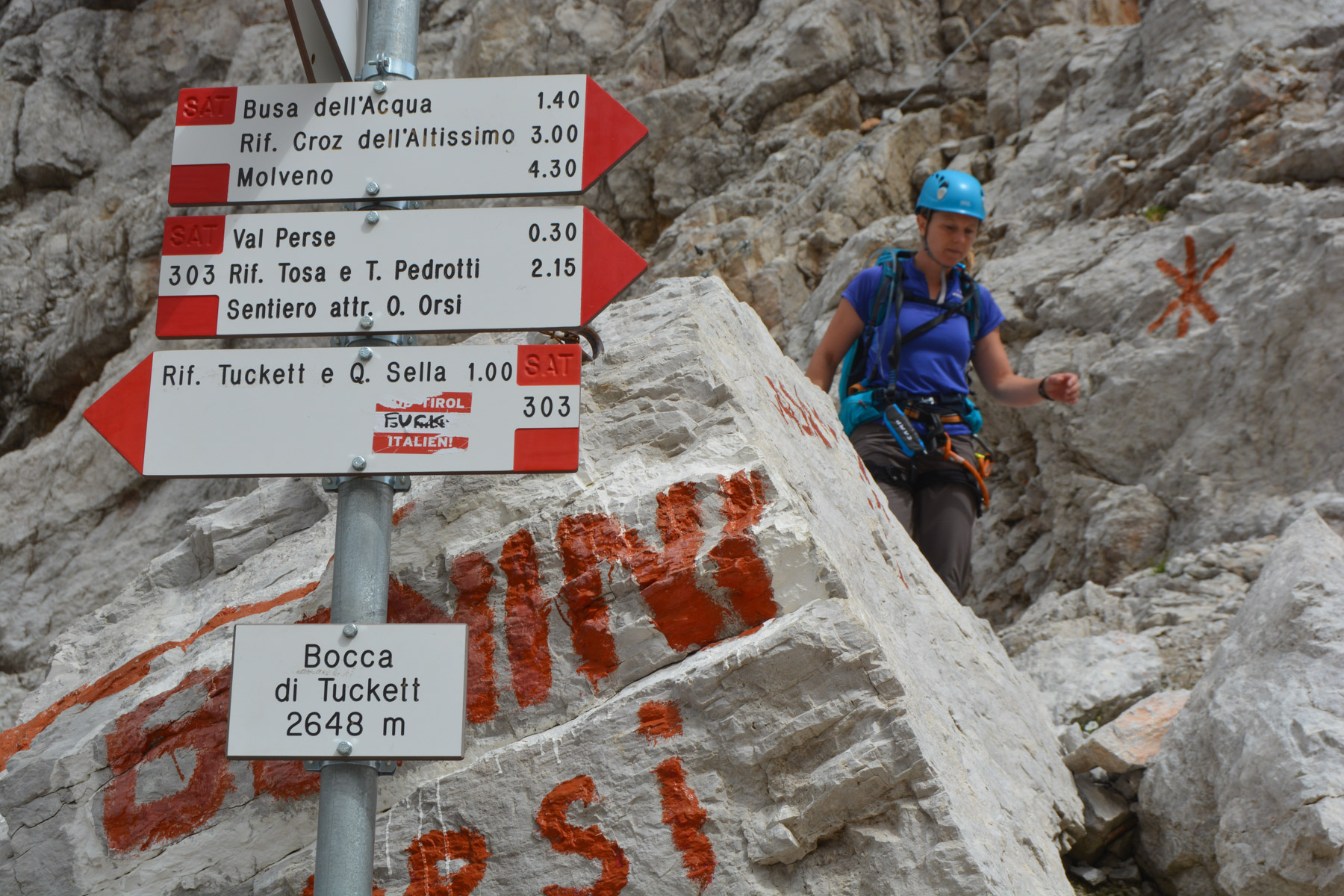
The ferrata consists mainly of a series of natural or carved (?) aerial ledges with no difficulties other than the emptiness. Only the final section, to reach the Bocca di Tuckett, resembles a more classic ferrata with rungs and ladders on a vertical wall. The equipment in place is excellent, placed only on exposed passages or those requiring assistance to climb or unclimb. The few passages over névé are easy and do not require crampons, unless conditions are exceptional. The route is very well marked and obviously very busy, but that's not a problem: you can easily pass or overtake other roped parties.
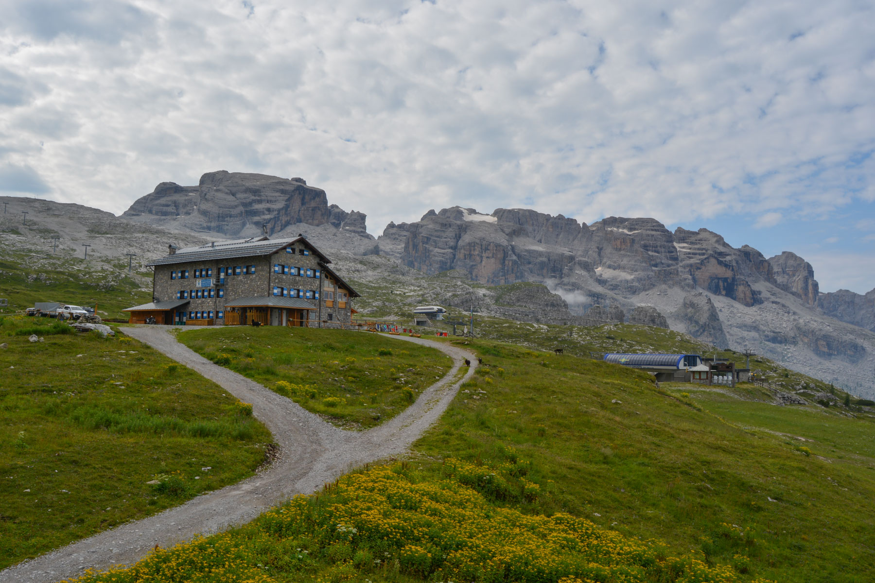
Follow the path down to the Vasinella parking lot. Well signposted, after about 40' you reach the Casinei hut at 1850m. Then another 30' through the forest to the parking lot. There are shuttle buses at 2 euros every 20′ back to Madonna di Campiglio...


Leave a Reply