


TOPO Hiking | CLIMBING7.COM
Publié le
 Partager sur WhatsApp
 Partager sur Twitter
Partager sur Instagram
Partager sur Twitter
Partager sur Instagram

 Partager sur Facebook
 Imprimer le topo
 Laisser un commentaire

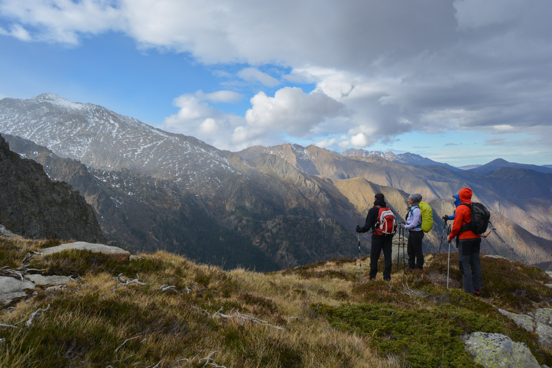
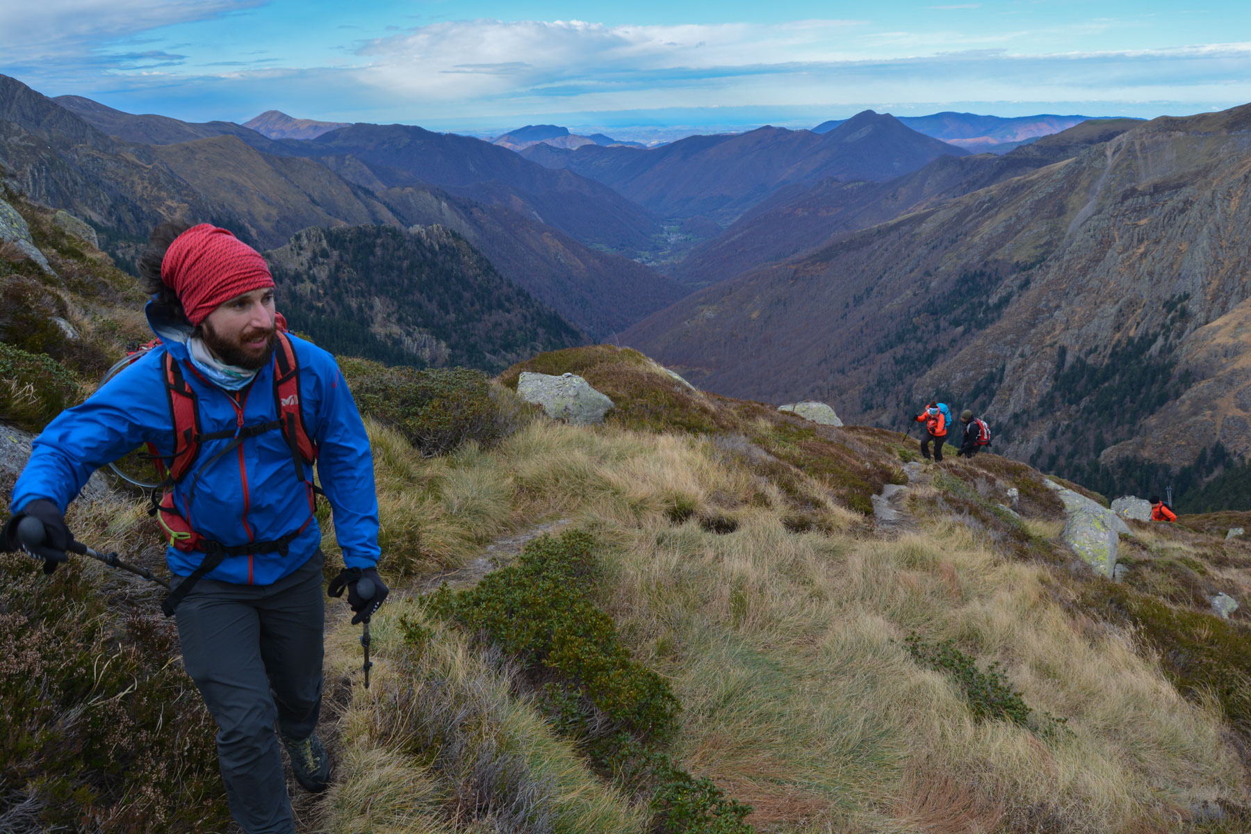
At the far end of the Ustou valley, above Saint-Girons, the Cirque de Cagateille forms a natural rampart with our Spanish neighbors, with a series of peaks at over 2500m, including the Certascan at 2853m. The itinerary involves traversing the cirque from left to right at some 2000m, above the large walls but just below the snow-covered slopes of the peaks. This means a big difference in altitude, a considerable distance to cover and several passages to negotiate, which are a little exposed, not to mention the presence of snow above 1800m for the season. The panoramic views from the cirque's balconies over the Ustou valley are permanent and spectacular. Very nice trip, the last this time before the winter season?
❱❱ Technical summary
Type ✦ Hiking
Location ✦ Vallée d'Ustou
Region ✦ Ariège
Country ✦ France
Length ✦ 17kms
Vertical rise ✦ 1700m
Difficulty ✦ D
Max altitude ✦ 2150m
Duration ✦ 7h to 7h30
Interest ✦ ★★★
❱❱ Access to the place
Go to Saint-Girons, then follow the signs for Seix, then further up the Ustou valley. After the last village of Trein d'Ustou, turn right towards Tramesaygues and then the Cirque de Cagateille parking lot (signposted).
❱❱ Map & topo
❱❱ Itinéraire
Exit the parking lot to the left and take the path that climbs gently through the forest towards the cirque. You soon come to a grassy esplanade facing the cirque.
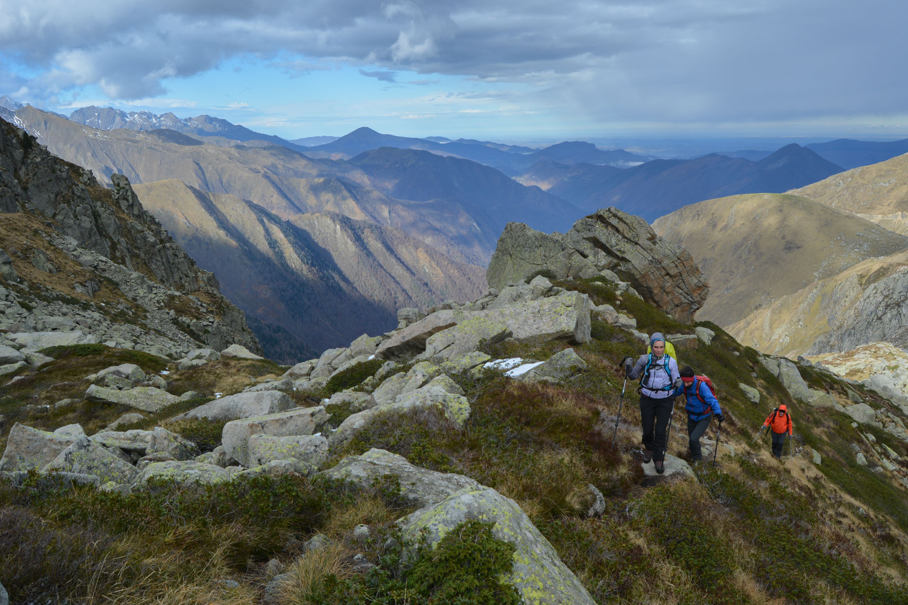
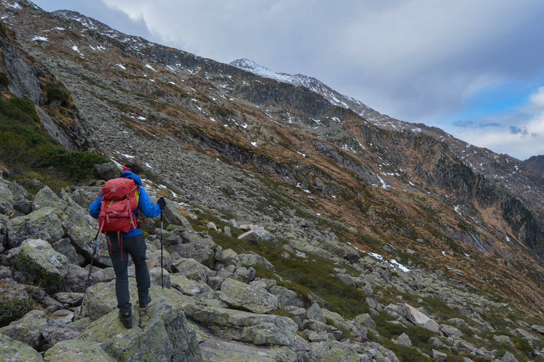
The trek is signposted, but the markings change as you go along: GR on the way up, then red markings to reach the Hilette pond, before continuing on yellow markings. The difficulty lies in the steep gradient, the consequent distance and a number of exposed passages that are either steep or need to be de-scaled. Some passages are equipped with old rungs and sections of lifeline. The route is seldom used, and the path to follow is not always obvious. The presence of snow can make crampons indispensable.
Continue along the path to tackle the steep ascent through the forest. There are a few equipped passages. Further on, you'll find the fork to Etang de la Piède on your left. The path continues steeply upwards through the forest, then emerges at a higher level onto open ground with the first fine views over the valley. The trail continues on a sort of broad ridge towards the heights.
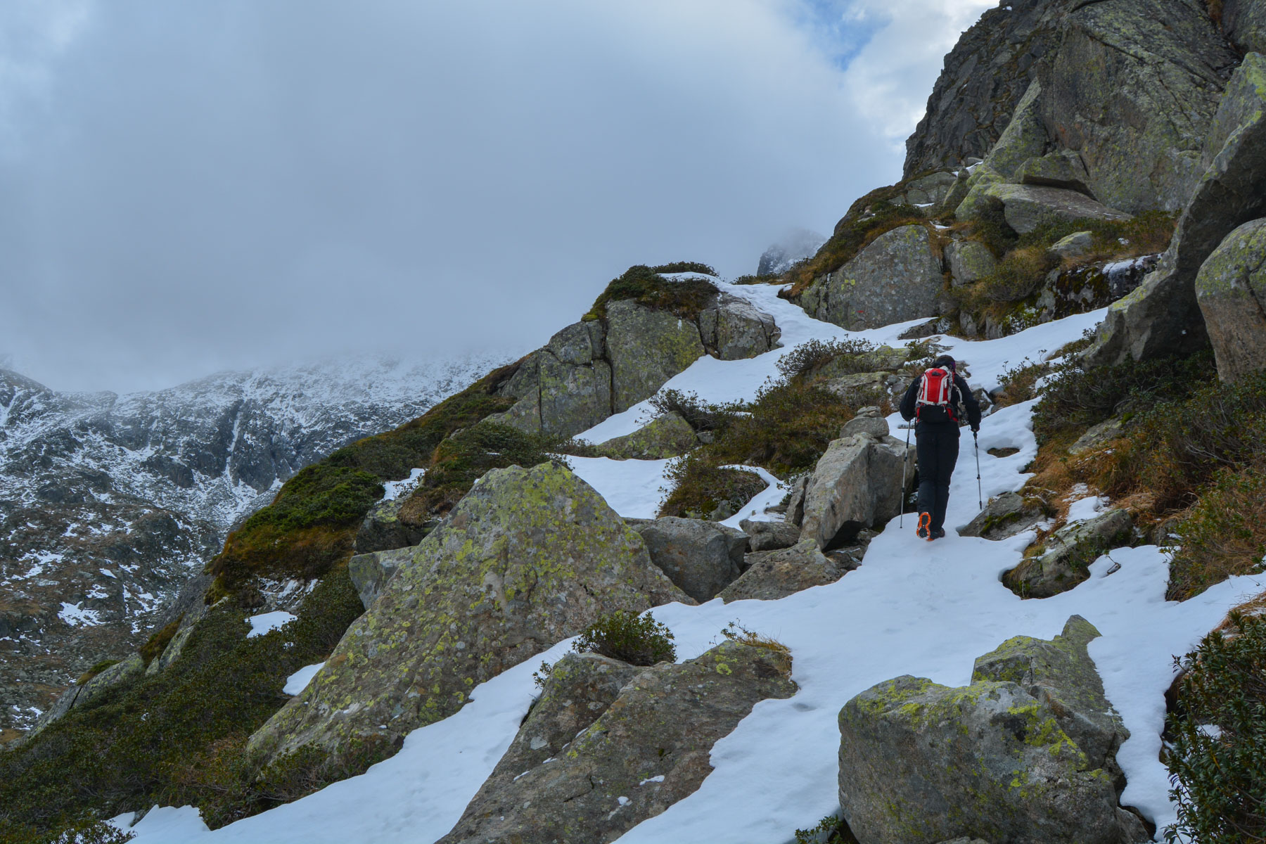
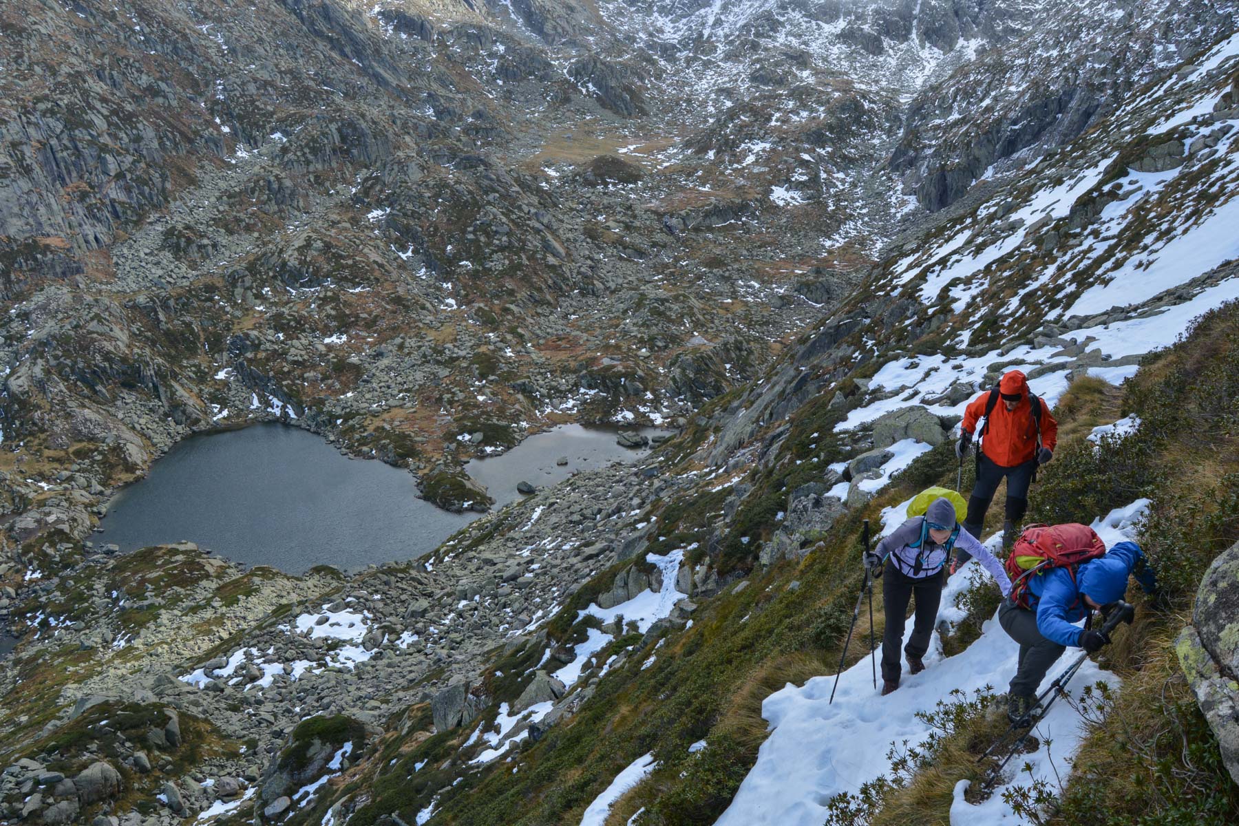
Just before reaching the Etang de la Piède, continue upwards (red markings) on a faint path. It climbs steeply to rise above the étang de l'Astoue and eventually take a small aerial ledge over the large bar, past a shoulder and offering a bird's-eye view of the étang de la Hilette. At this point, without following the path downwards, climb a little higher to find a fairly exposed passage through steep couloirs (equipped with a cable) and switch to the étang de Hilette side.
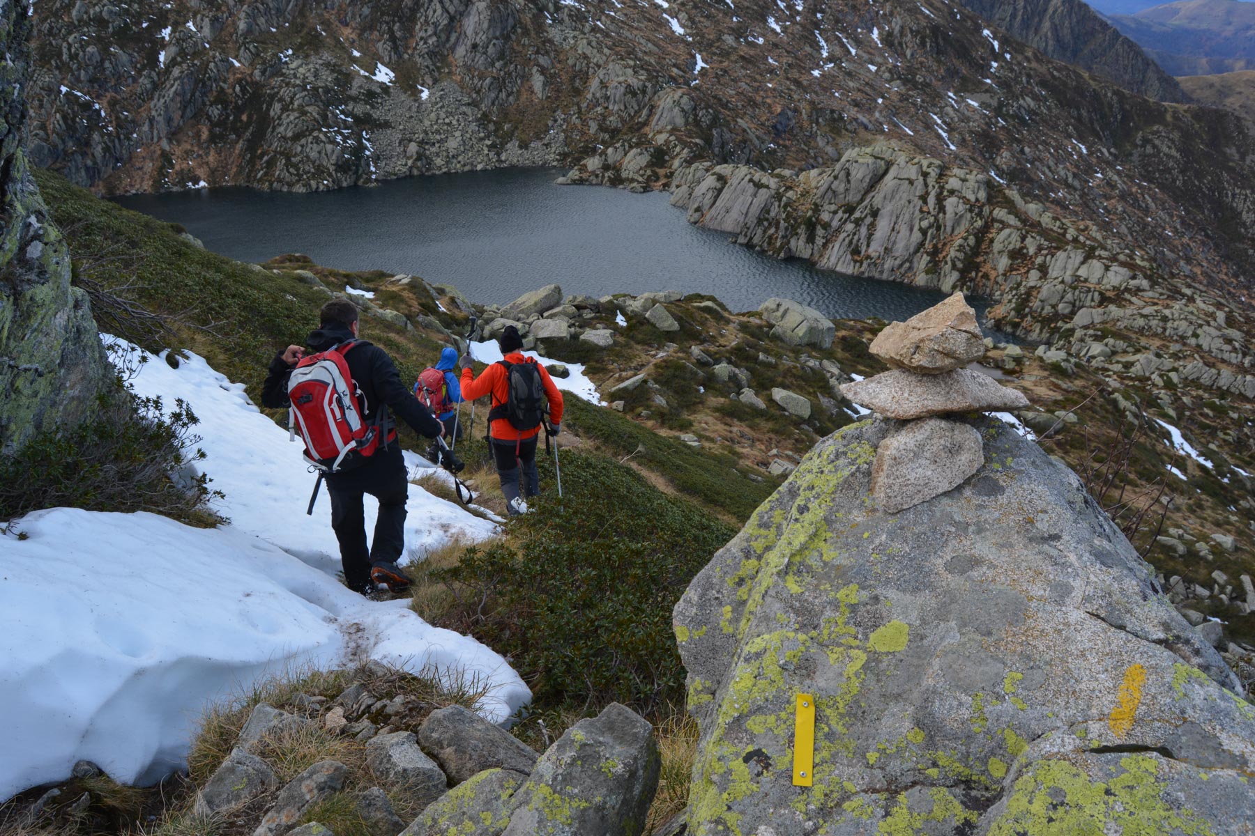
The path, not very visible, zigzags down to the pond. Don't go down, and at the wooden signs below, continue straight ahead to cross high above the pond. Once past the pond, find on the left the de-escalated passage (exposed but easy) which this time takes you almost to the banks of the pond.
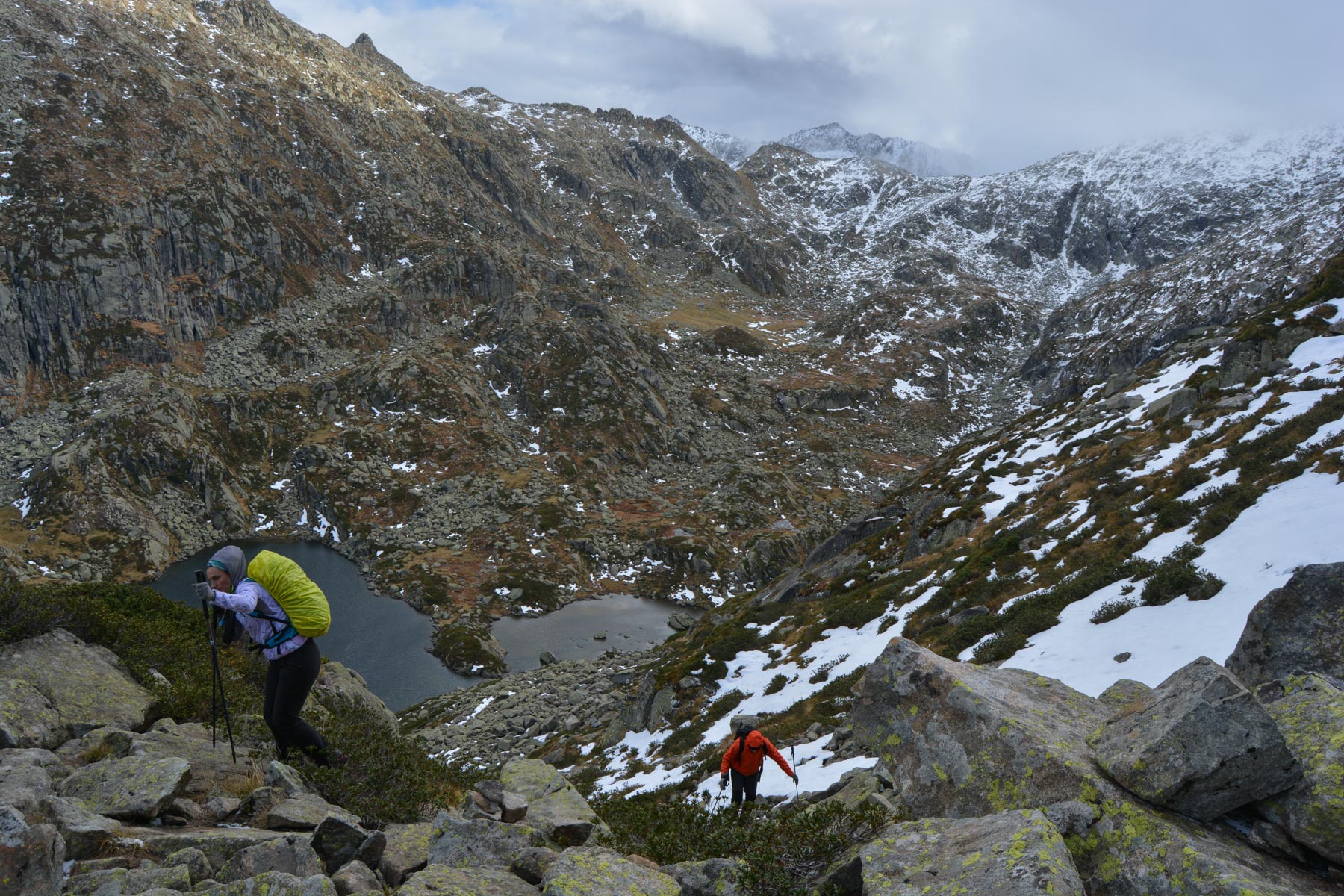
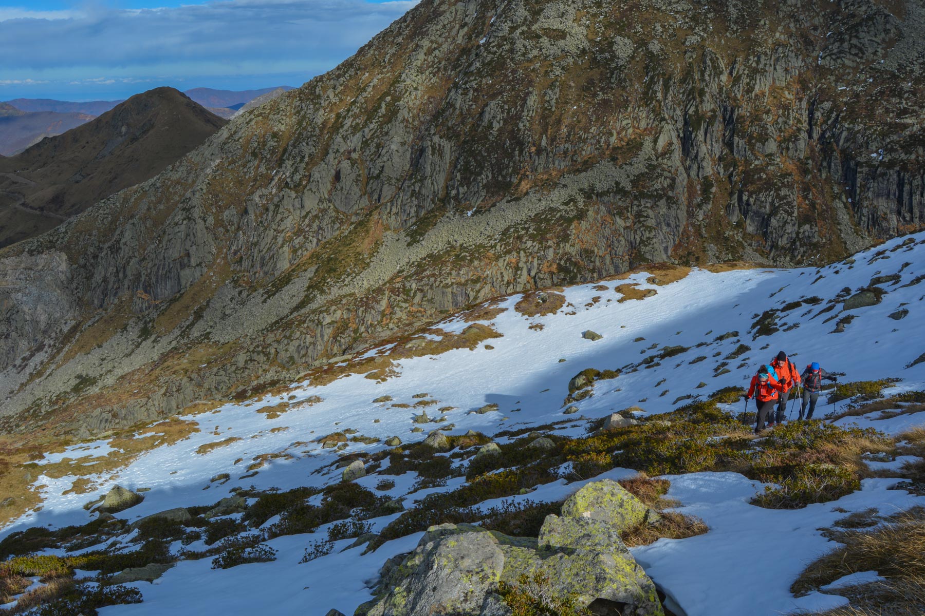
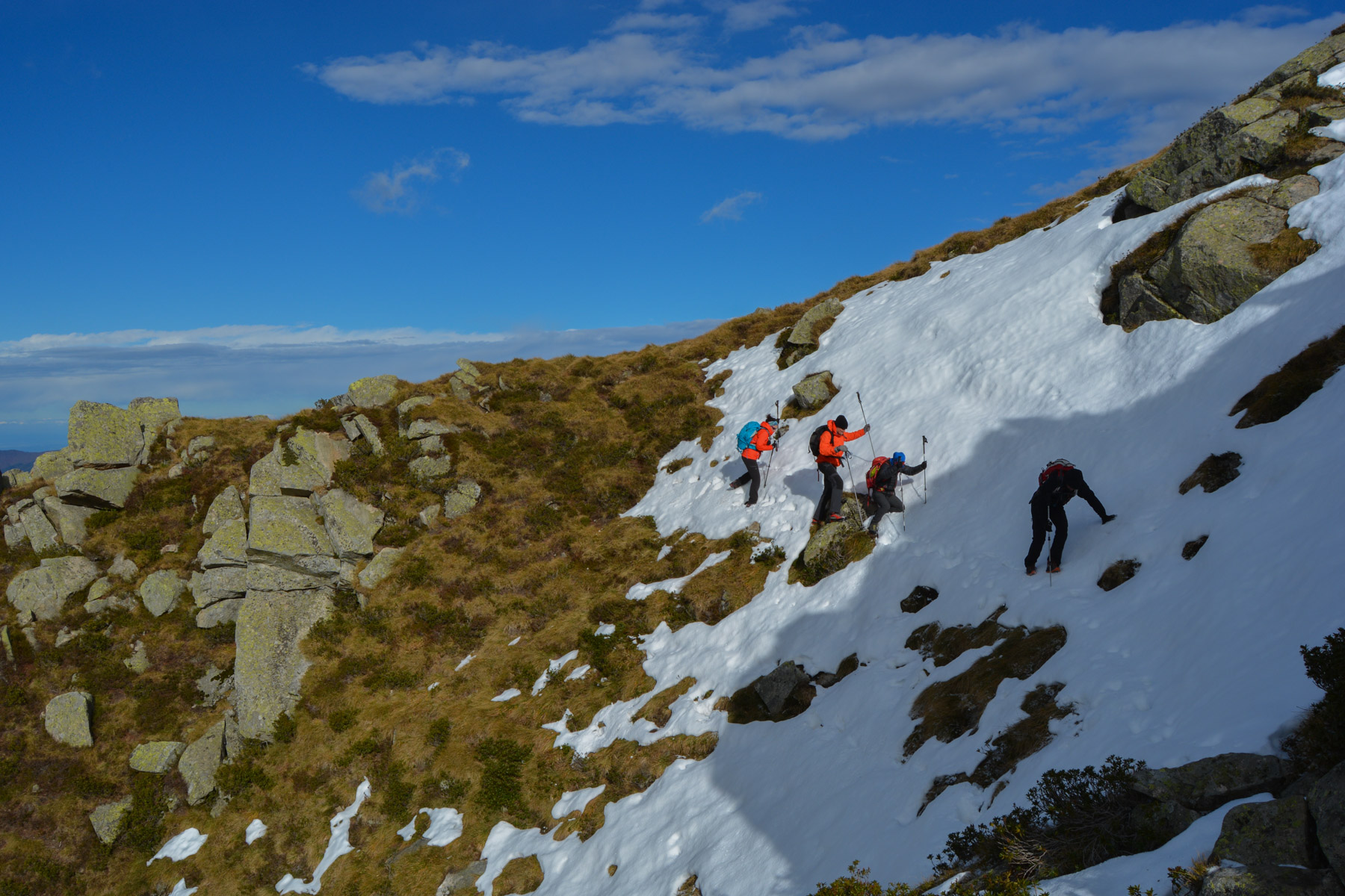
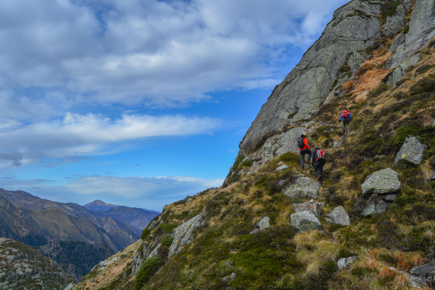
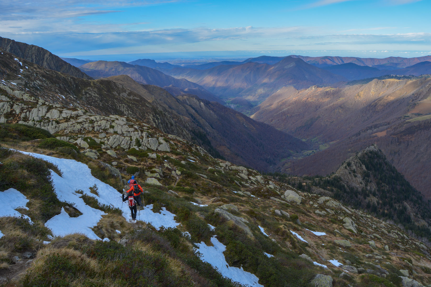
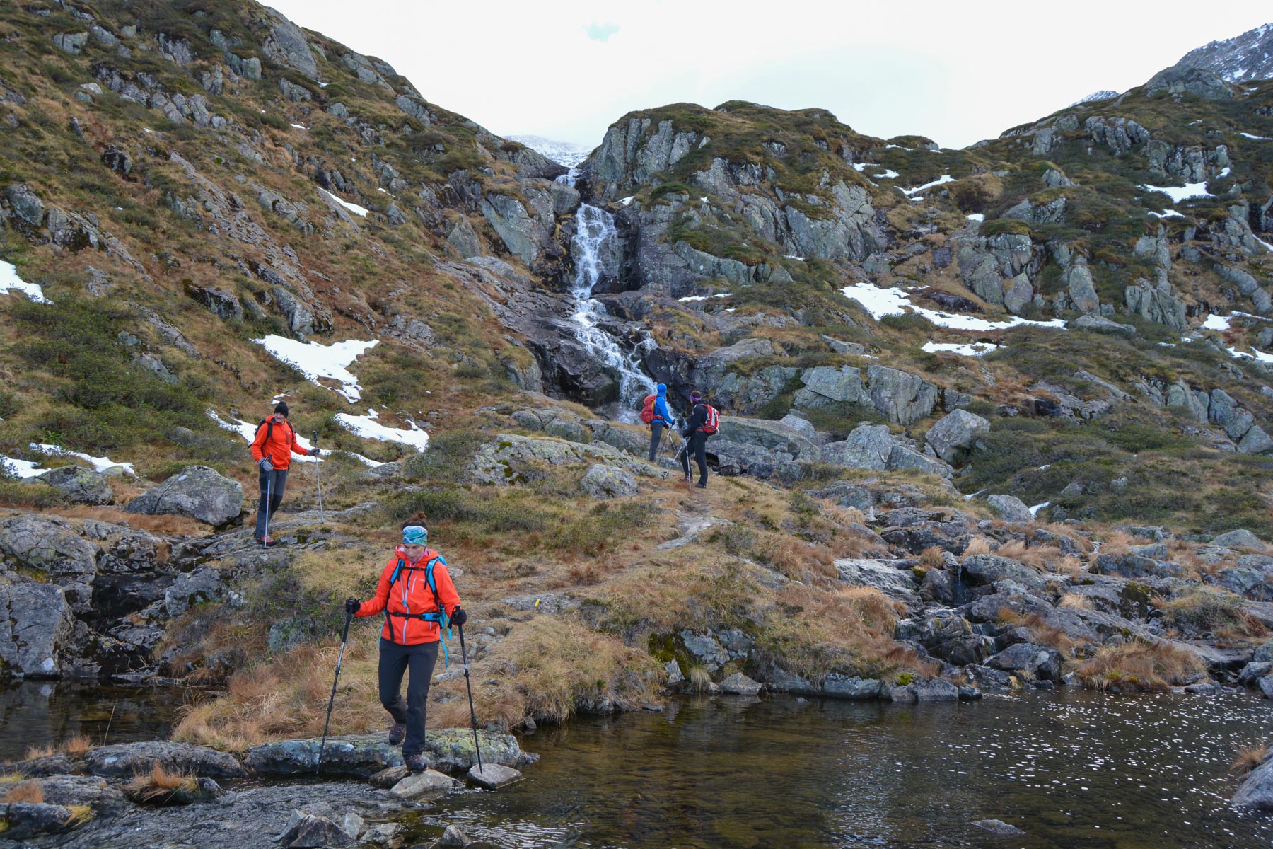
Head west along the pond and follow the yellow trail. The path climbs steadily through the cirque, alternating scree, grassy areas and rocky chaos. You finally reach a 1st ridge with a small pass overlooking the Etang d'Alet. Descend to the level of the pond, then continue across a new ridge to reach the large waterfall at around 1800/1900m. End of the route. All that remains is to descend the almost 1000m of ascent to the valley floor!
At the large waterfall, continue to follow the yellow markings, gradually descending for a short while before finally plunging down to the valley floor on a steep, short, winding path. You end up in a beech forest until you reach the parking lot after crossing the Escorse river.


Leave a Reply