


TOPO Ski Touring | CLIMBING7.COM
Publié le
 Partager sur WhatsApp
 Partager sur Twitter
Partager sur Instagram
Partager sur Twitter
Partager sur Instagram

 Partager sur Facebook
 Imprimer le topo
 Laisser un commentaire

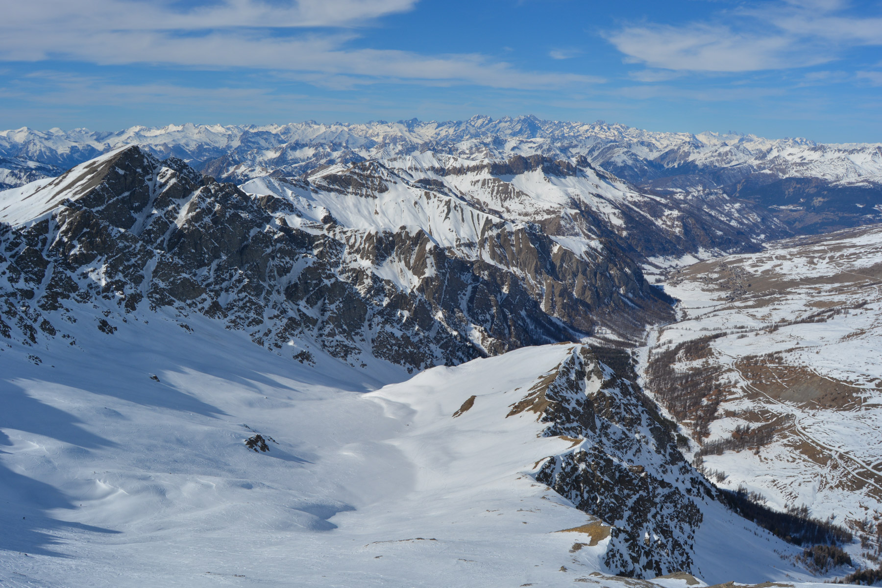
Magnificent race in the heart of the Queyras, starting from Saint-Véran. The route to the Tête du Longet climbs up a long valley visible from the village to reach the summit at 3140m, facing Mont Viso. The descent is equally easy, with plenty of options. At the summit, we were able to see another more challenging descent option: the North couloir where 2 guys launched themselves from the cornice below the summit... impressive!
❱❱ Technical summary
Type ✦ Ski touring
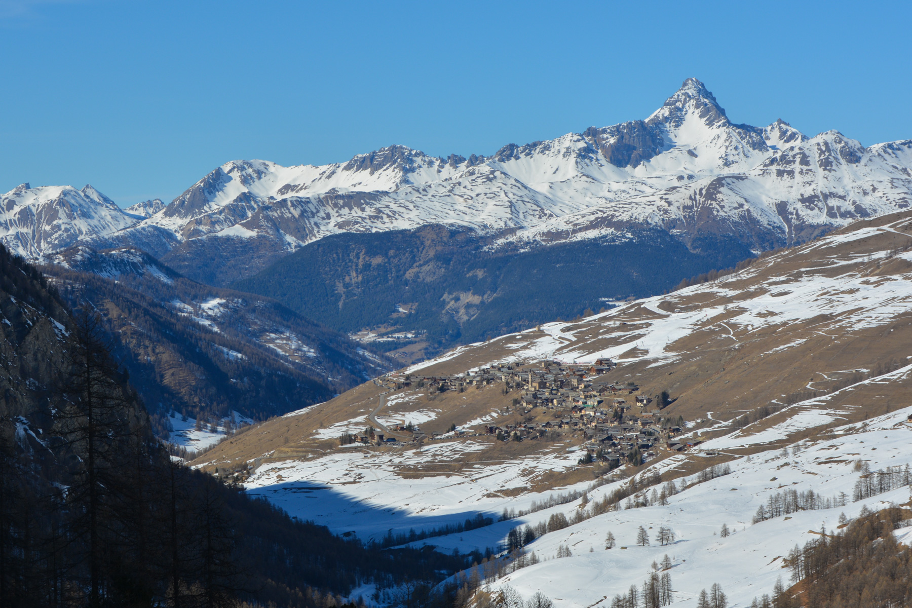
Location ✦ Saint-Véran
Region ✦ Queyras, Southern Alps
Country ✦ France
Direction ✦ North-West
Length ✦ 7.5kms
Vertical drop ✦ 1250m
Max altitude ✦ 3140m
Difficulty ✦ R-3.1-E1
Duration ✦ 4h to 5h
Interest ✦ ★★★
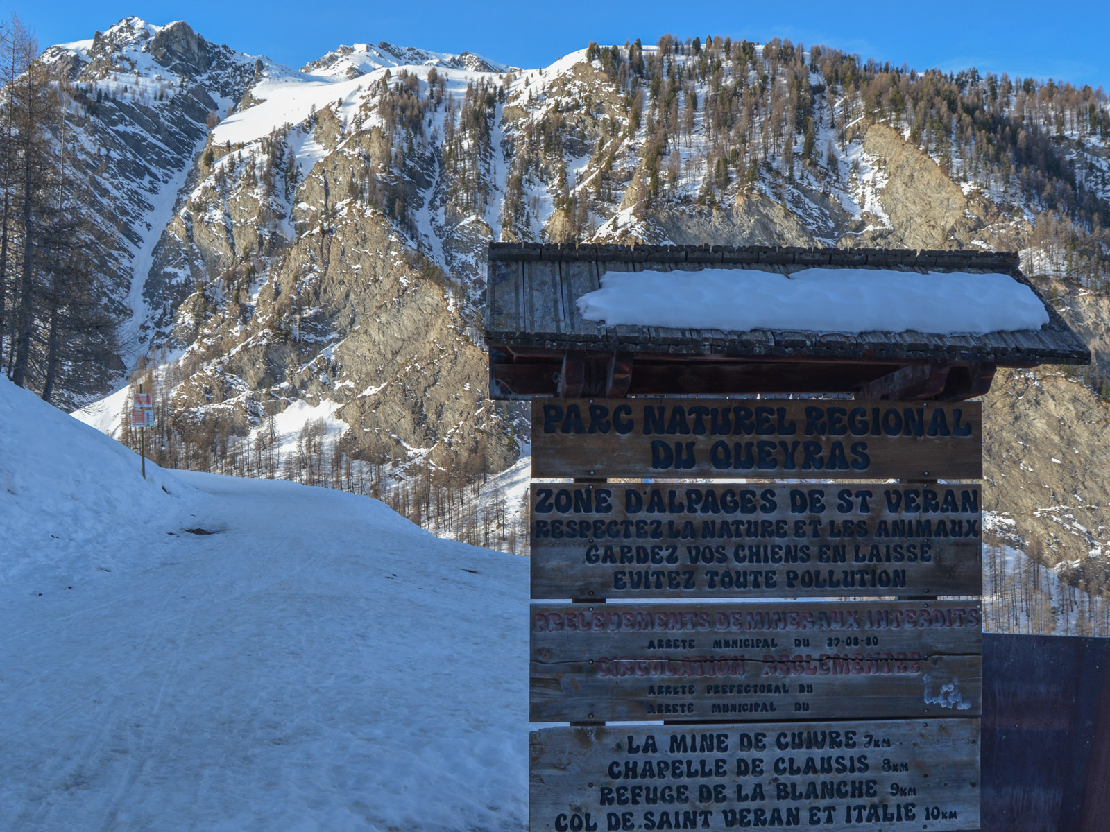
❱❱ Access to the place
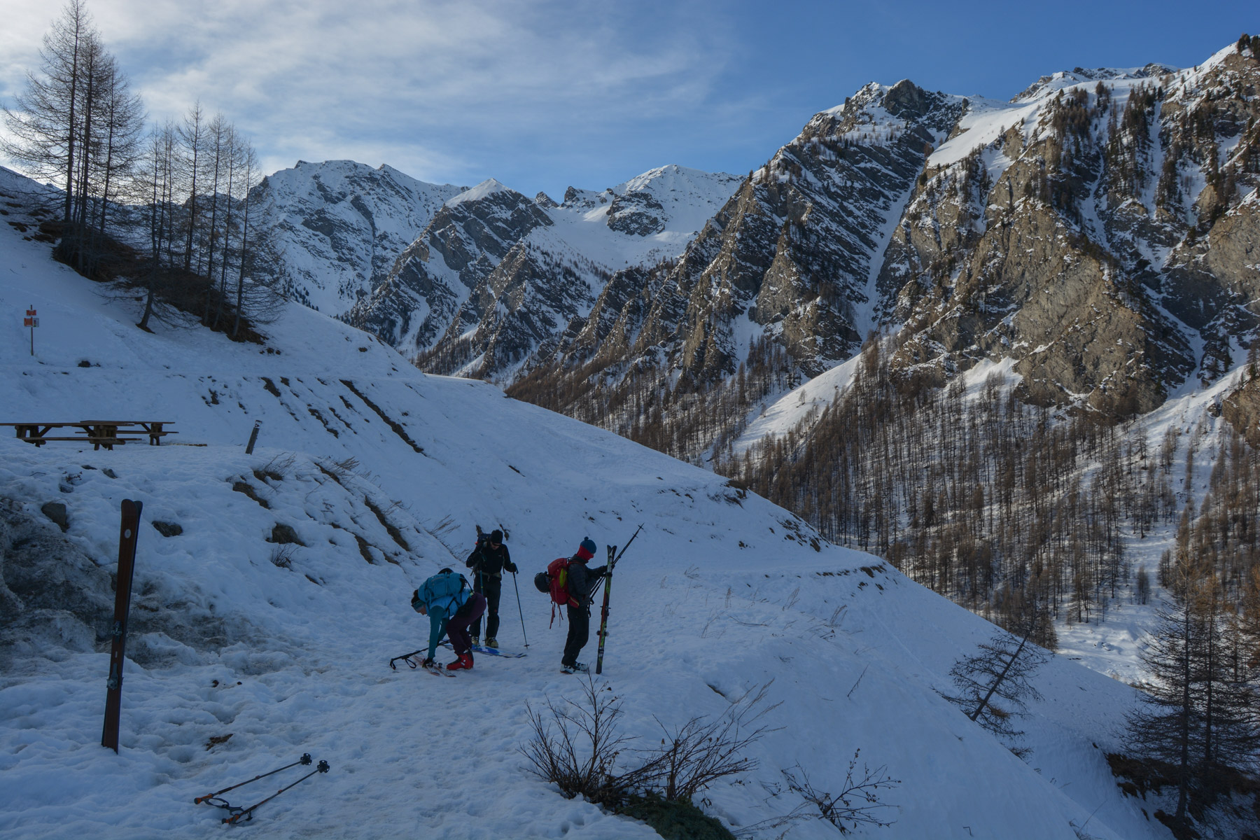
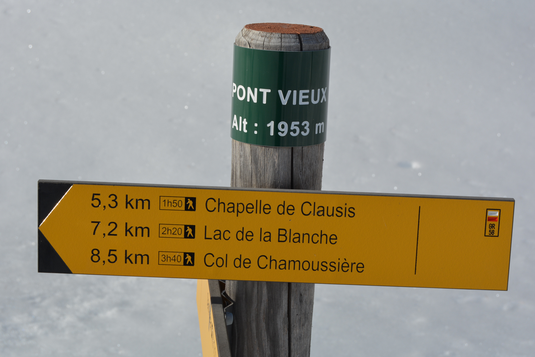
Go to the village of Saint-Véran. Cross the village and park at the final parking lot, where the GR58 will take you down to the Pont Vieux.
❱❱ Map & topo
❱❱ Itinéraire
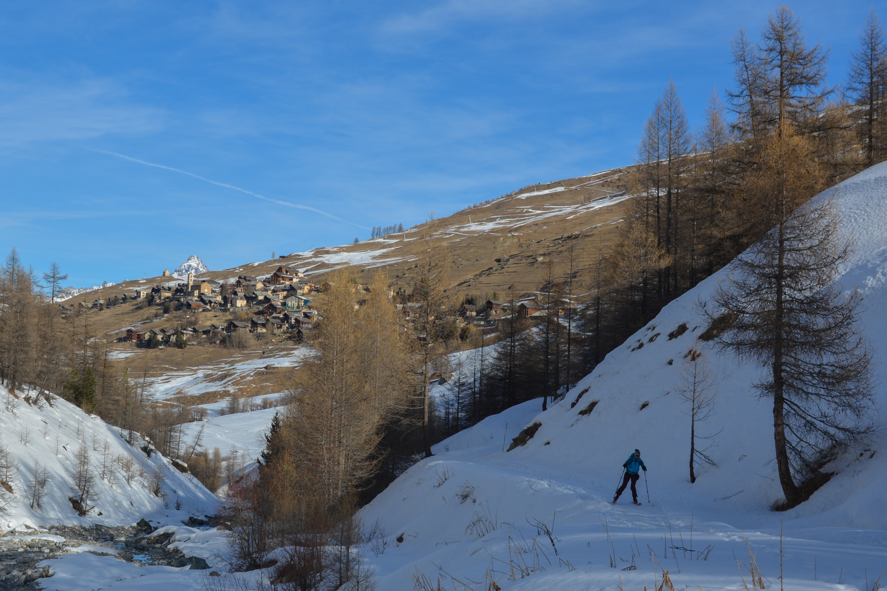
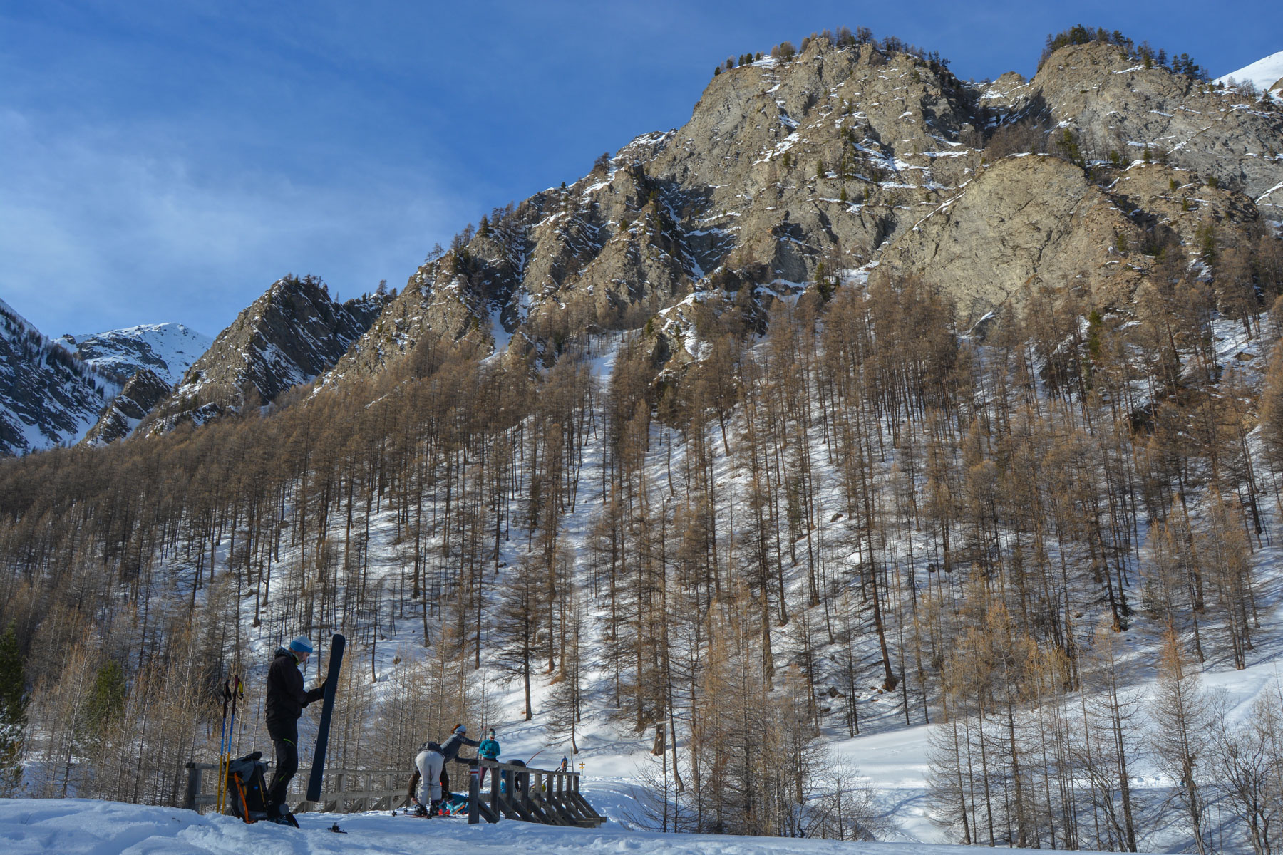
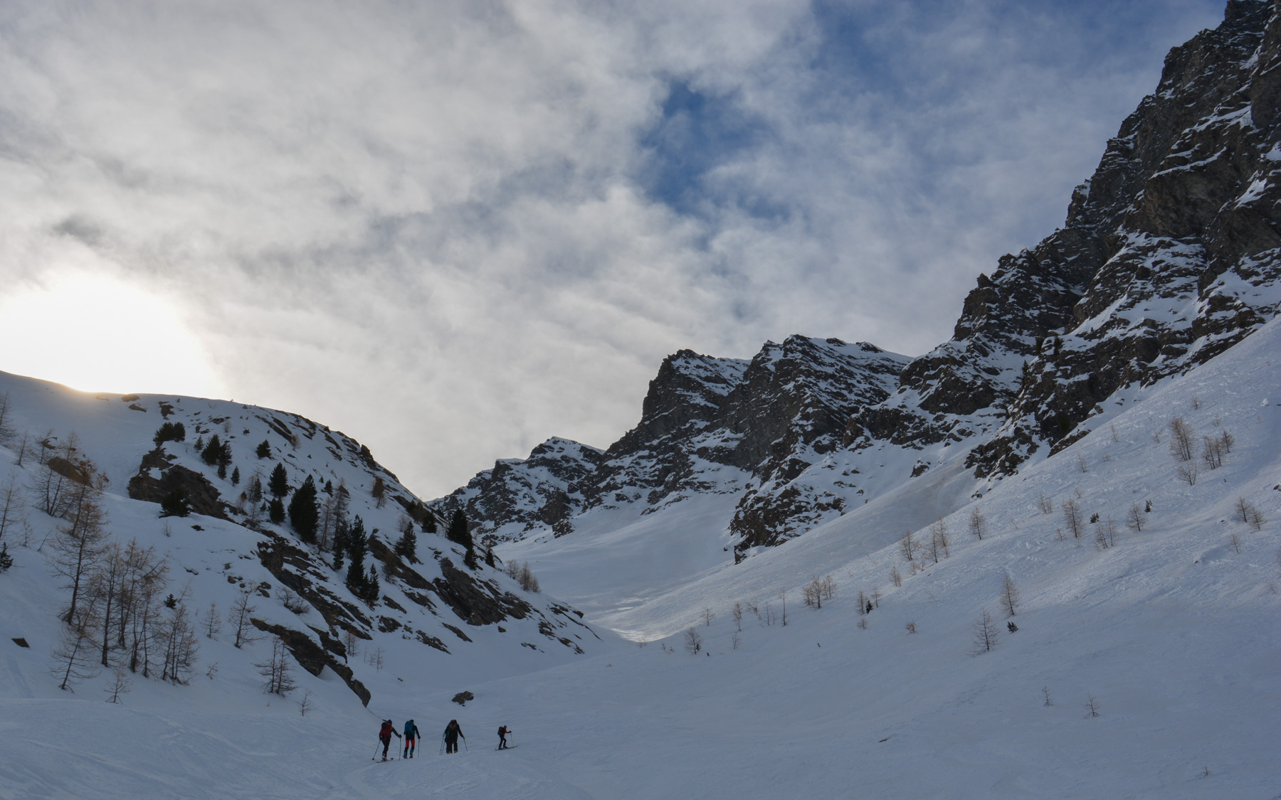
Glide down the wide, snow-covered path to the old bridge below. Cross it to join the cross-country ski trail. Head due east. Follow this prepared trail before forking to enter the fir trees a little further on and aiming diagonally for the valley entrance.
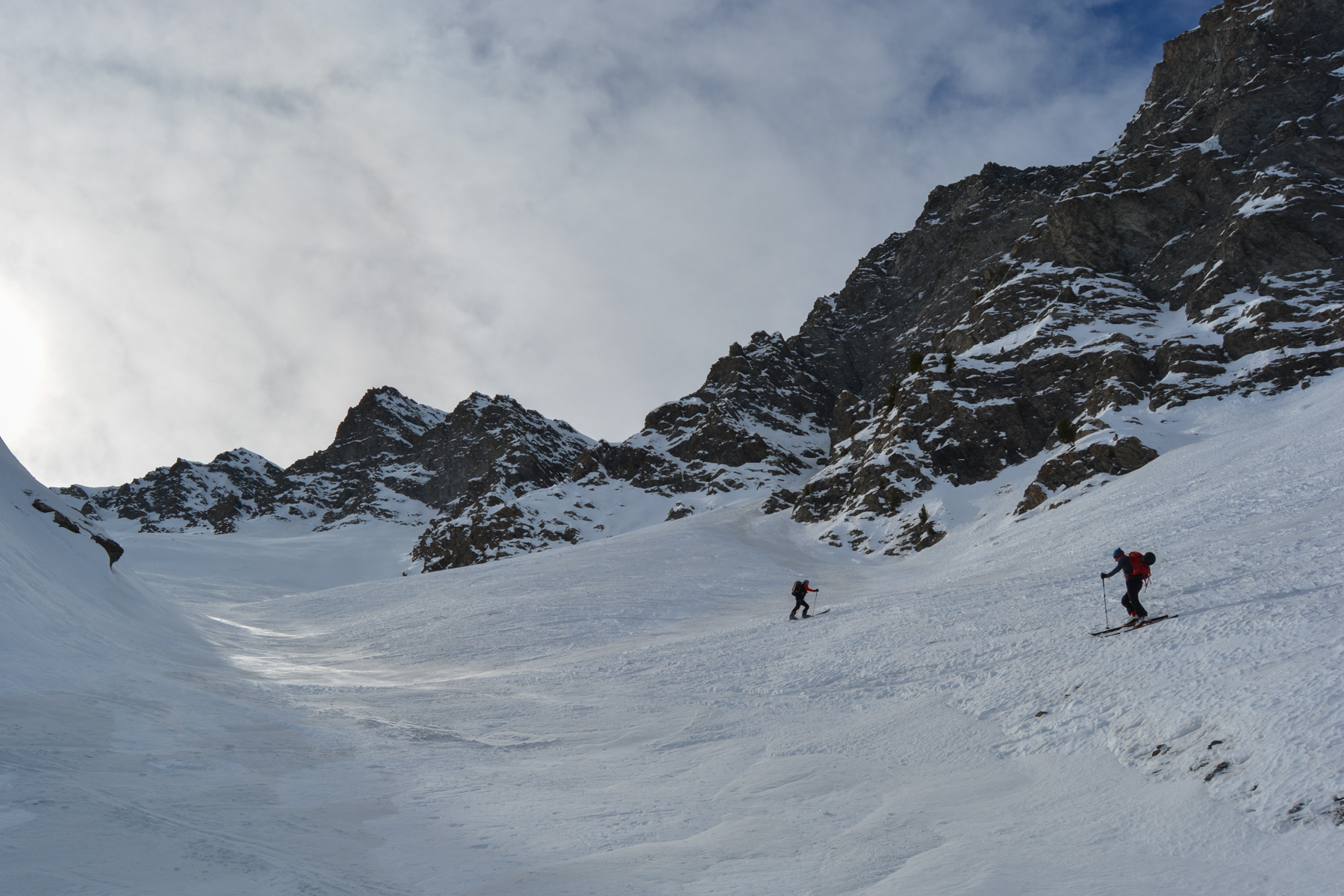
The route is obvious, and the difficulty lies mainly in the fairly steep gradient. Only the access to the final ridge is a little steeper. Be careful on the ascent corridor, which is very exposed if there's a risk of avalanche.
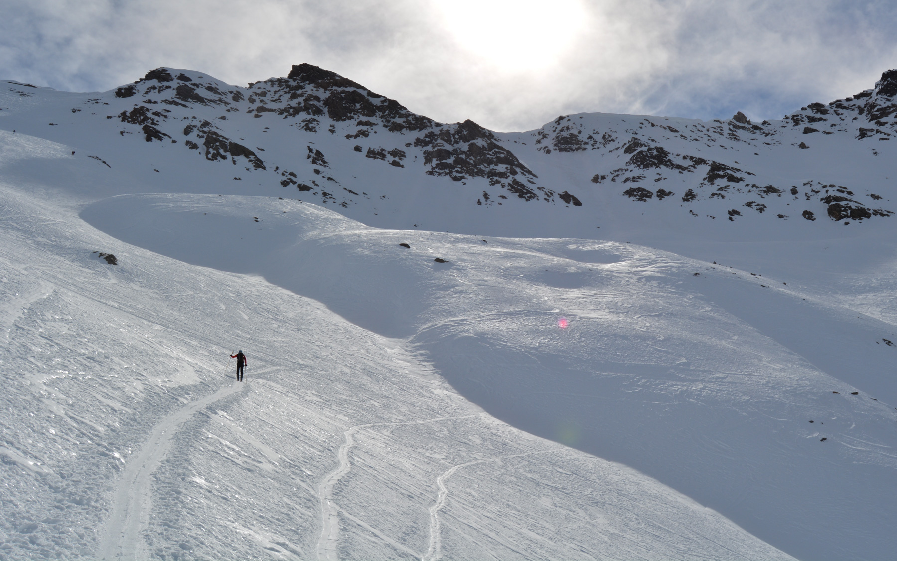
A short, winding climb up this starting gully to reach a higher level with a bend. You can then see the Tête de Longet in the distance and the path to the heart of the vallon de Longet.
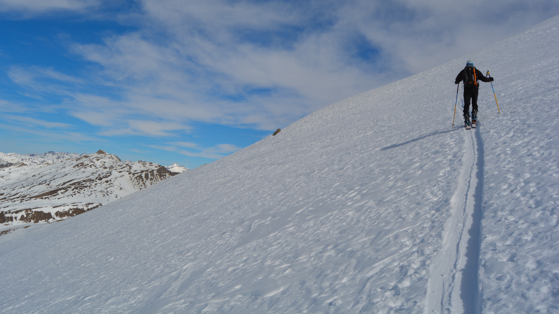
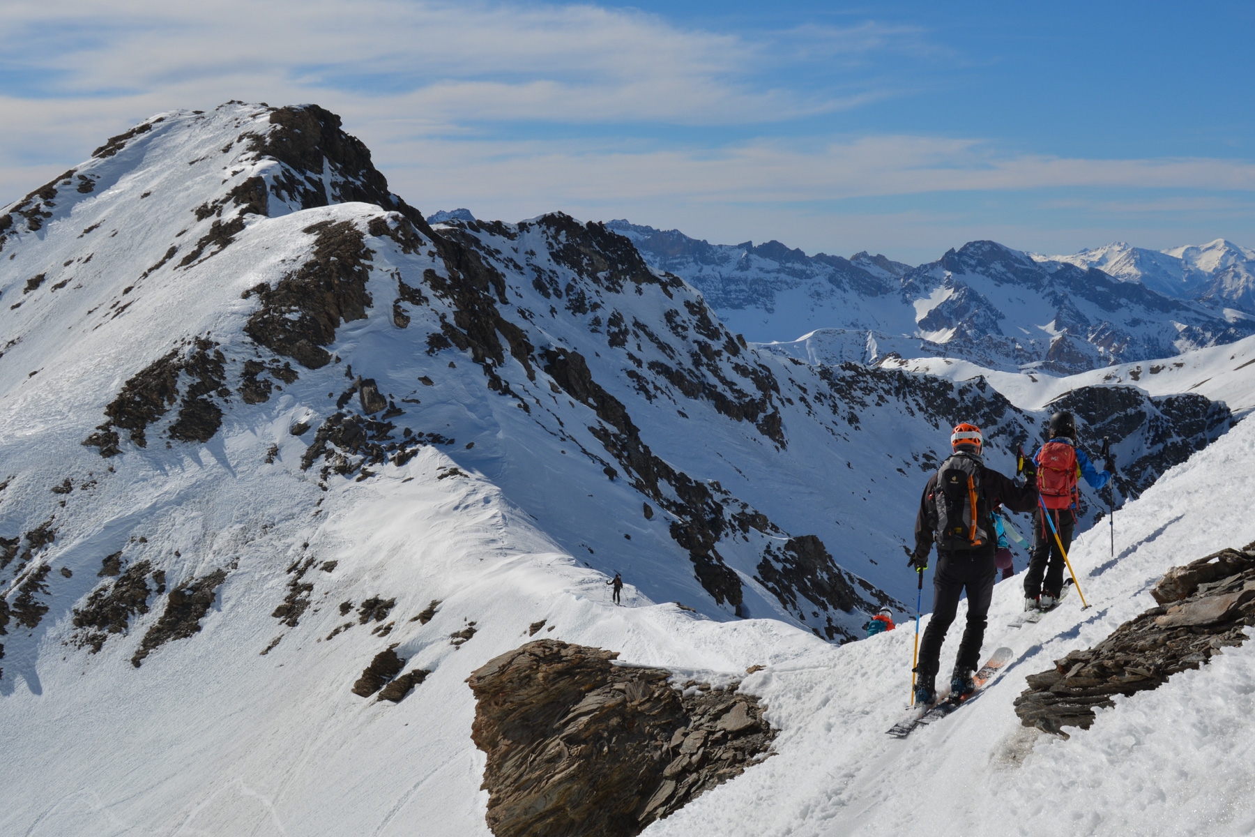
Quietly ascend the successive easy landings into the valley. At the end, you'll find yourself below the head with the slightly steeper finish.
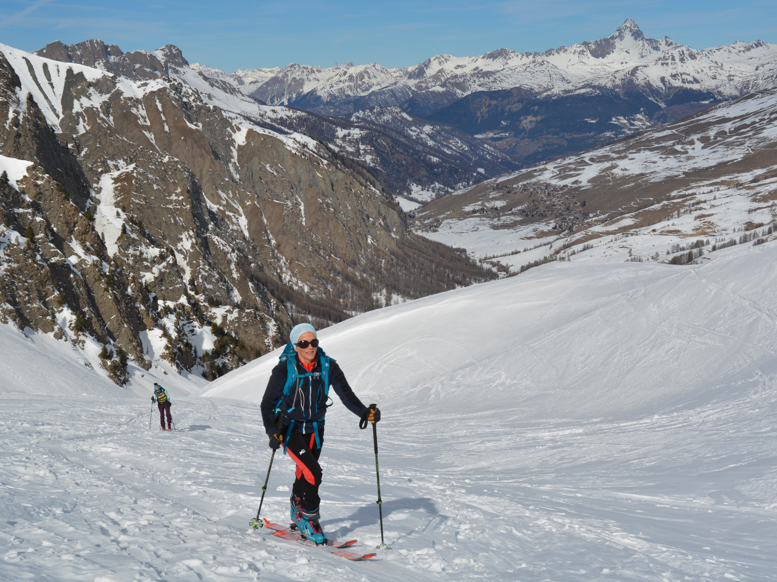
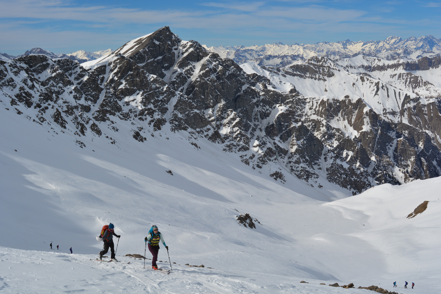
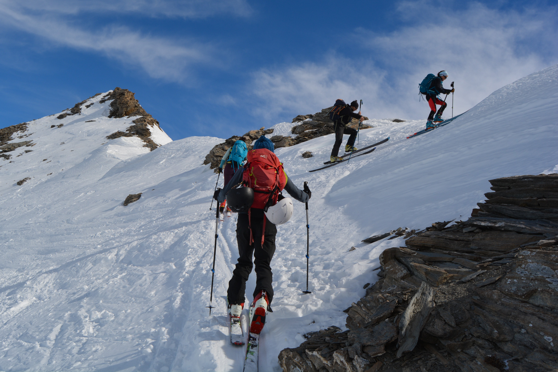
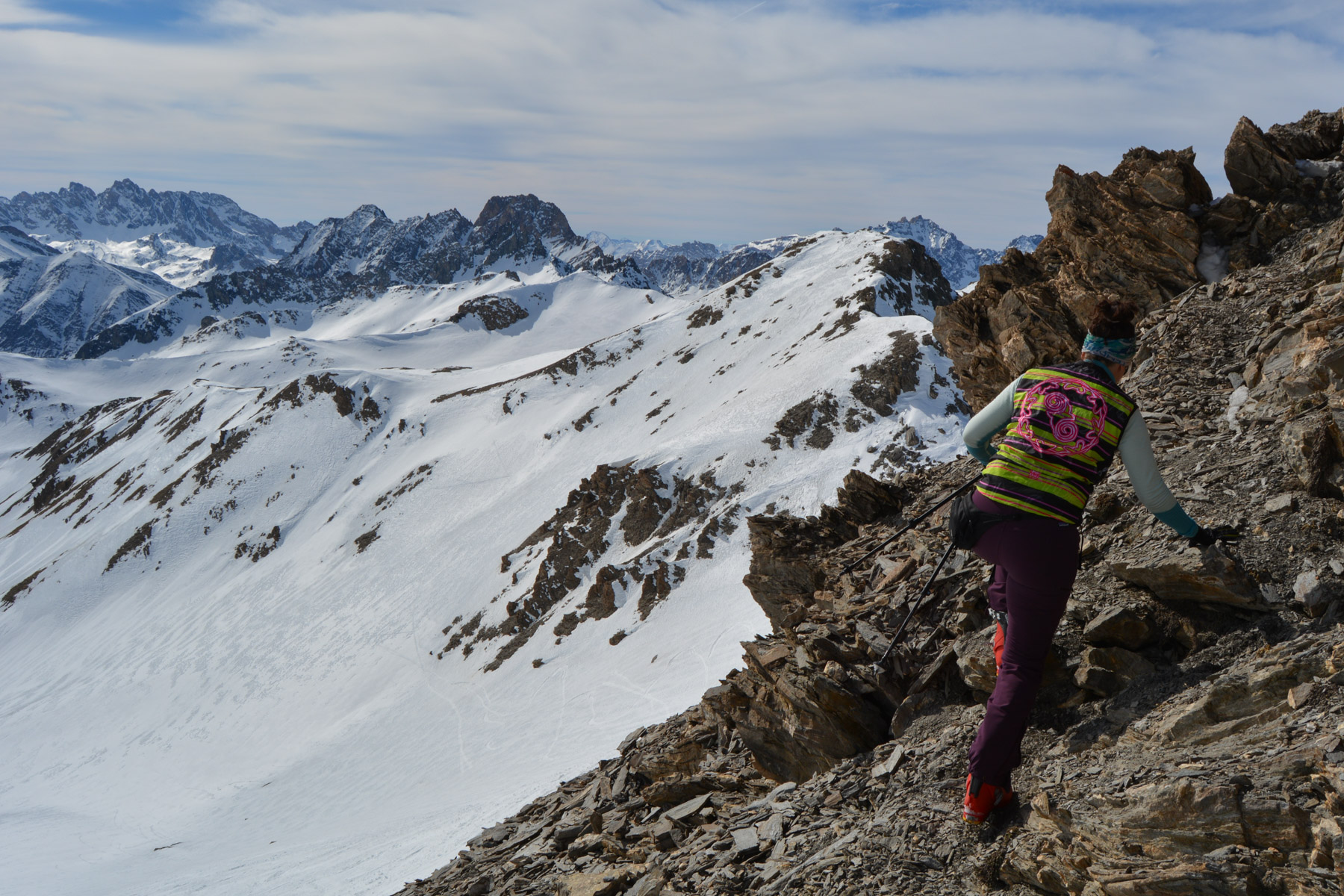
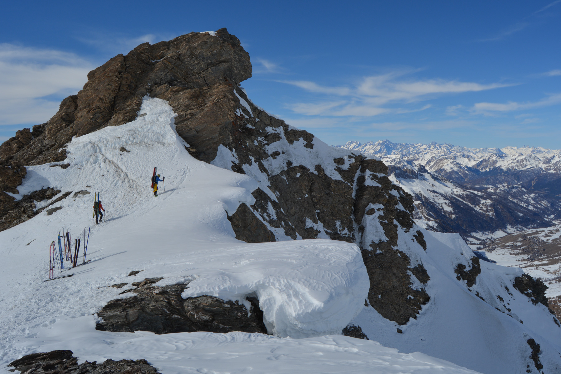
Steeper, with steep switchbacks to finally reach the ridge at Pas de la Cula (3085m), with a view to the south. The route then passes to the south to cross and finish below the summit with splendid views to the east. 5' of easy ascent on foot to the real summit.
By the same route. 35° max at the start, then options for descending as the valley is wide. Further down, below the goulet expo, continue along the stream to join the cross-country ski trail and at the end the Pont Vieux.
Walk up the snow-covered Pont Vieux path to the Saint-Véran parking lot.


Leave a Reply