


TOPO Ski Touring | CLIMBING7.COM
Publié le
 Partager sur WhatsApp
 Partager sur Twitter
Partager sur Instagram
Partager sur Twitter
Partager sur Instagram

 Partager sur Facebook
 Imprimer le topo
 Laisser un commentaire
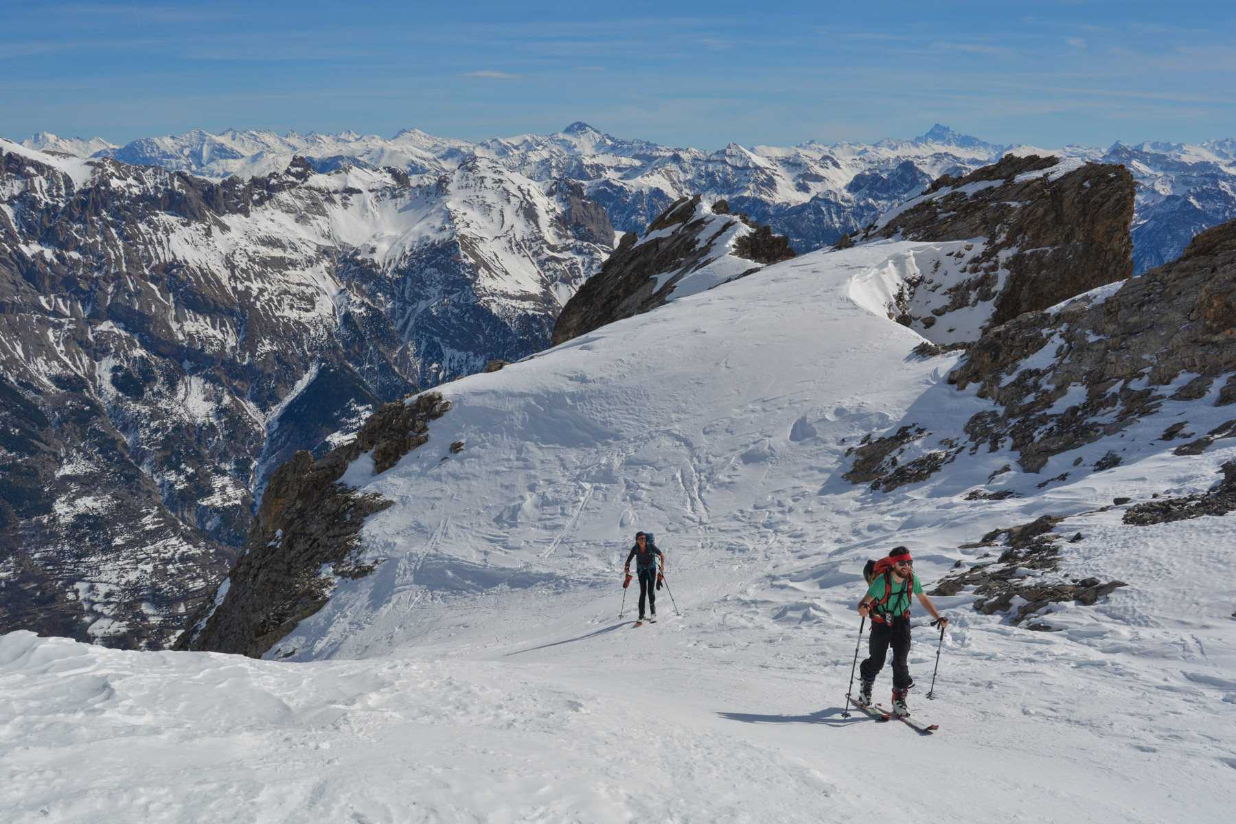
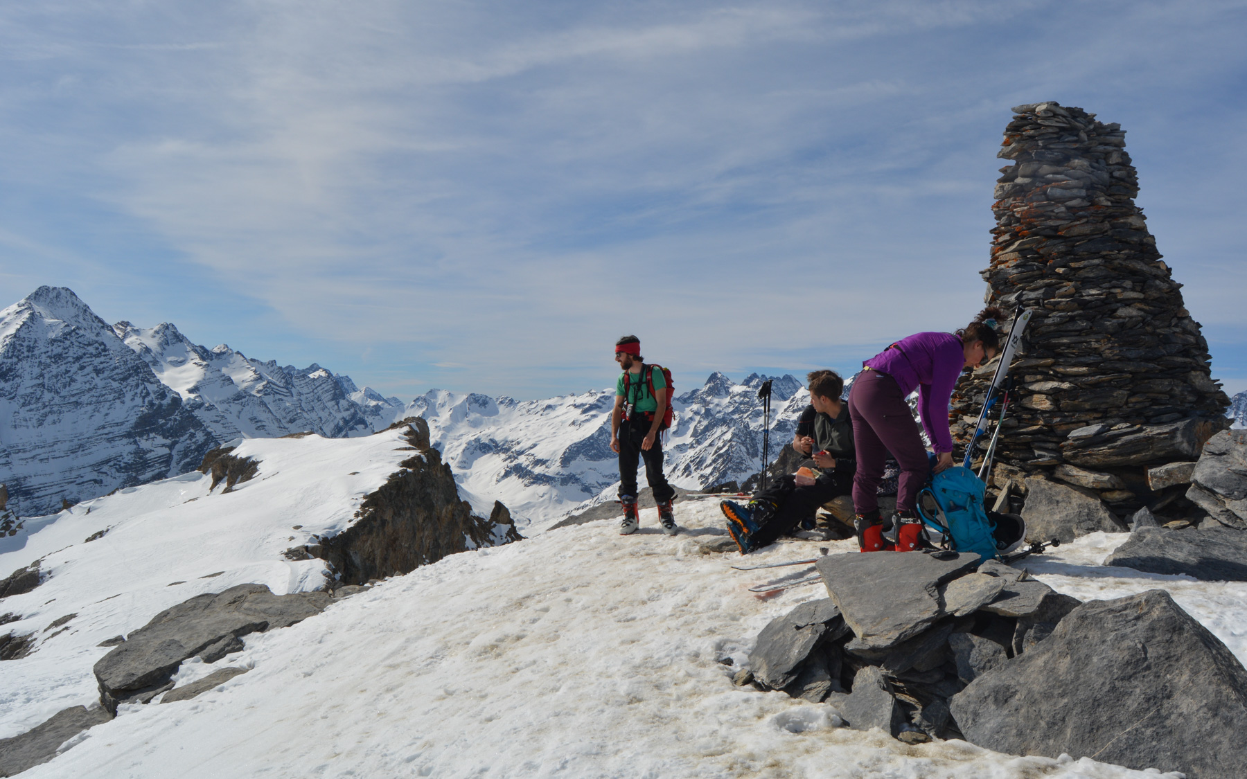
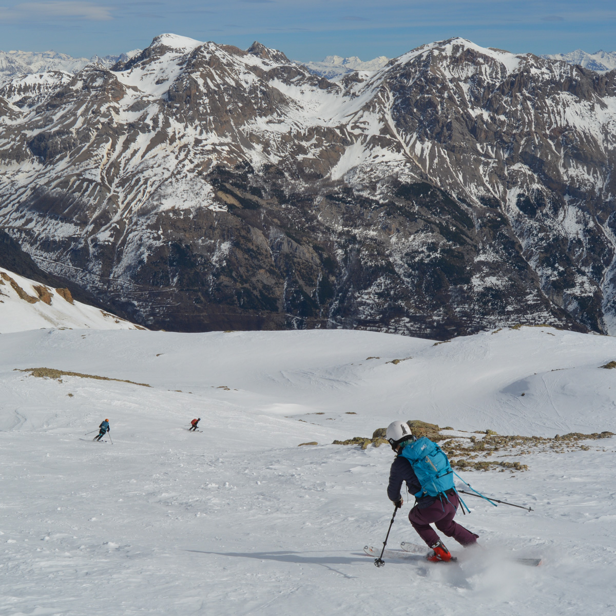
A beautiful short outing with a splendid view of the Écrins massif. This great local classic is well worth the detour and can be done in a more sporty mode, starting from Puy Aillaud and without using the chairlifts. From the summit of La Blanche at almost 3000m, the panorama over the heart of the Écrins is fantastic. As the day was in semi-rest mode, the ascent was shortened, starting at over 2000m, before taking the Riou de l'Alp valley for a beautiful descent to the slopes of the Saint-Vincent resort. In the distance to the south-east, the Queyras and once again Mount Viso mark the Italian border.
❱❱ Technical summary
Type ✦ Ski touring
Location ✦ Vallouise
Region ✦ Parc des Écrins, Alps
Country ✦ France
Direction ✦ East
Length ✦ 3kms
Vertical drop ✦ 730m
Max altitude ✦ 2954m
Difficulty ✦ F-2.1-E1
Duration ✦ 3h to 4h
Interest ✦ ★★
❱❱ Access to the place
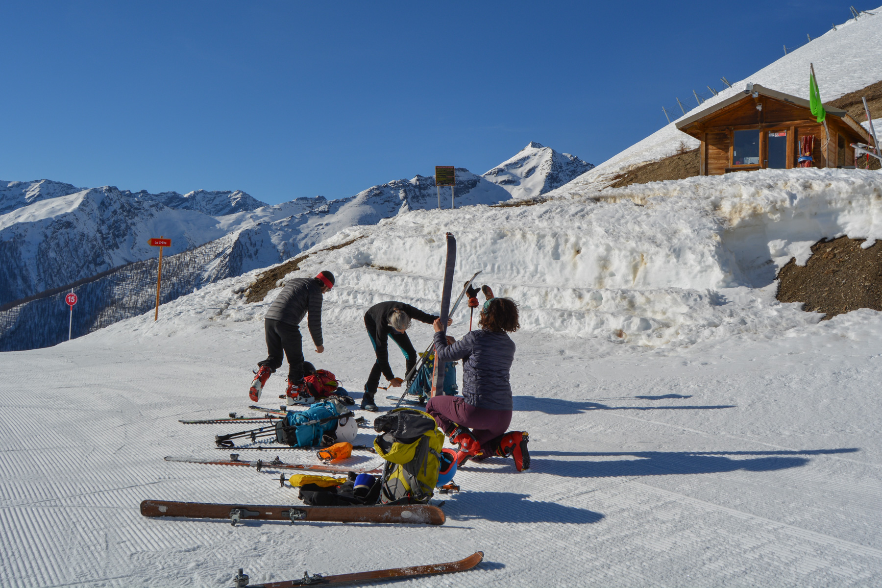
From Vallouise, head north to the Pelvoux Saint-Antoine ski resort. Park here to purchase the 9.50€ lift pass.
❱❱ Map & topo
❱❱ Itinéraire
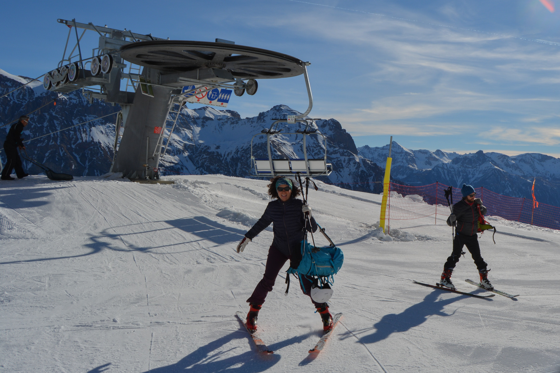
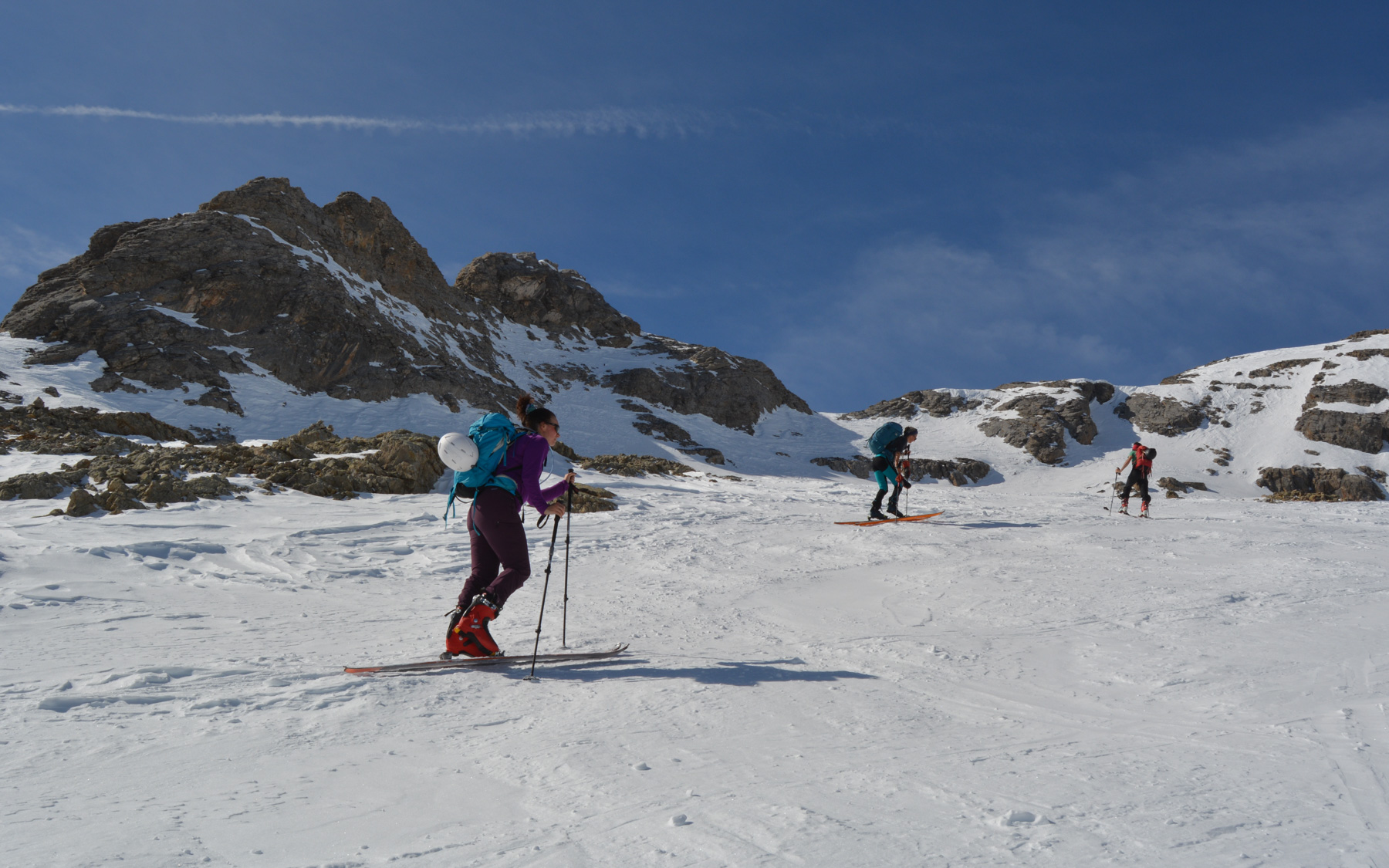
Take the 2 chairlifts from the Affolée station and exit at 2230m onto the ridge leading to La Blanche. The lack of snow on the ridge meant we had to cross to the north to reach the Riou de l'Alp valley and start the ascent.
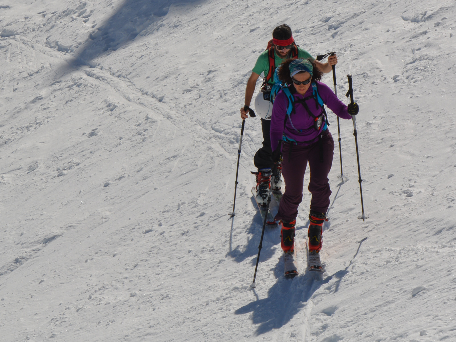
The ascent of the valley poses no difficulty apart from a final gully before the summit on a steep, narrow couloir where you may need to put on your knives.
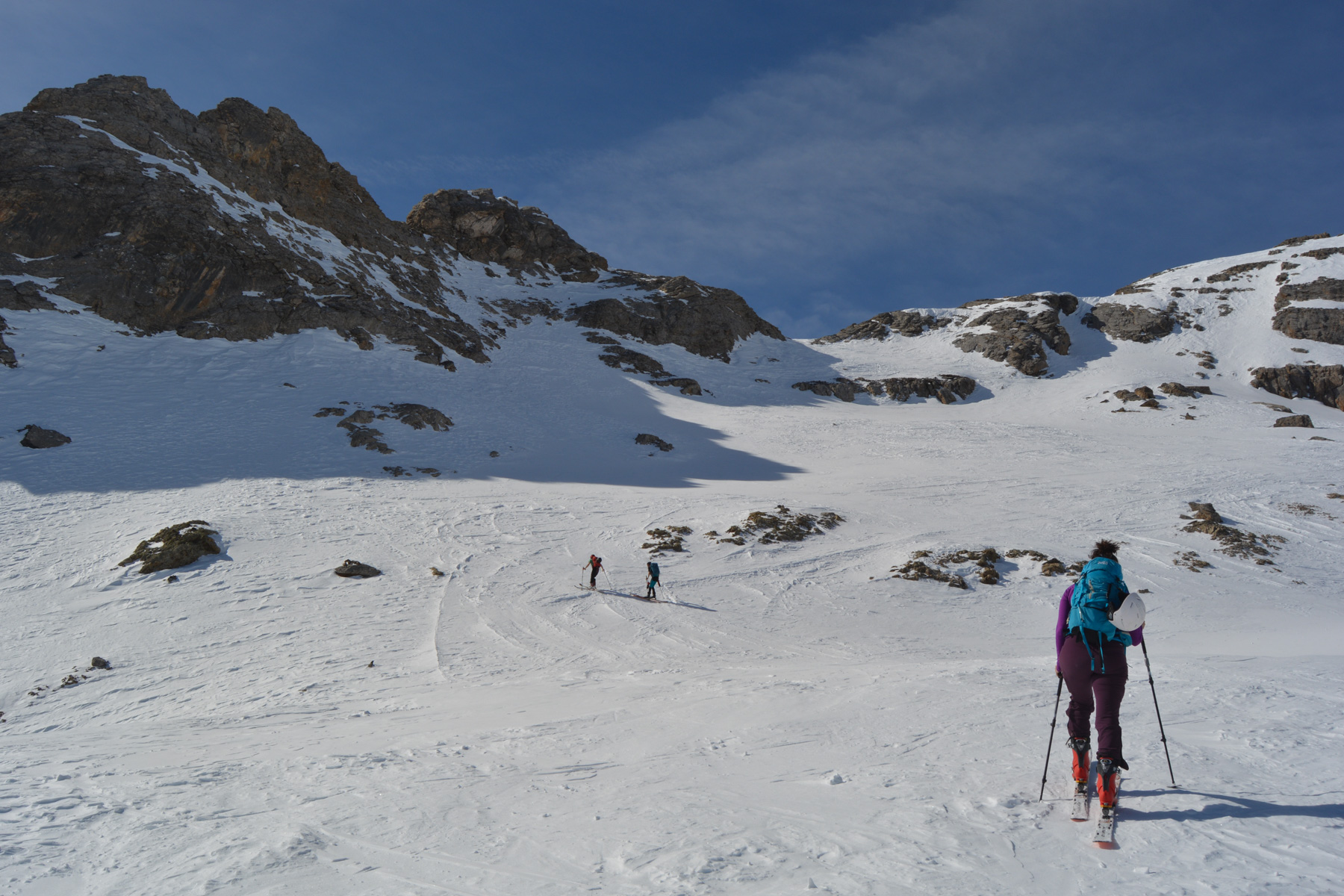
Depending on the amount of snow, either tackle the La Croix du Chastellet ridge directly opposite the chairlift exit to reach the pass, or, as today, there's not enough snow, so join the valley on the right. A number of switchbacks take you up the valley without difficulty, until you reach the col at 2564m (which also corresponds to the arrival point of the Croix du Chastellet ridge).
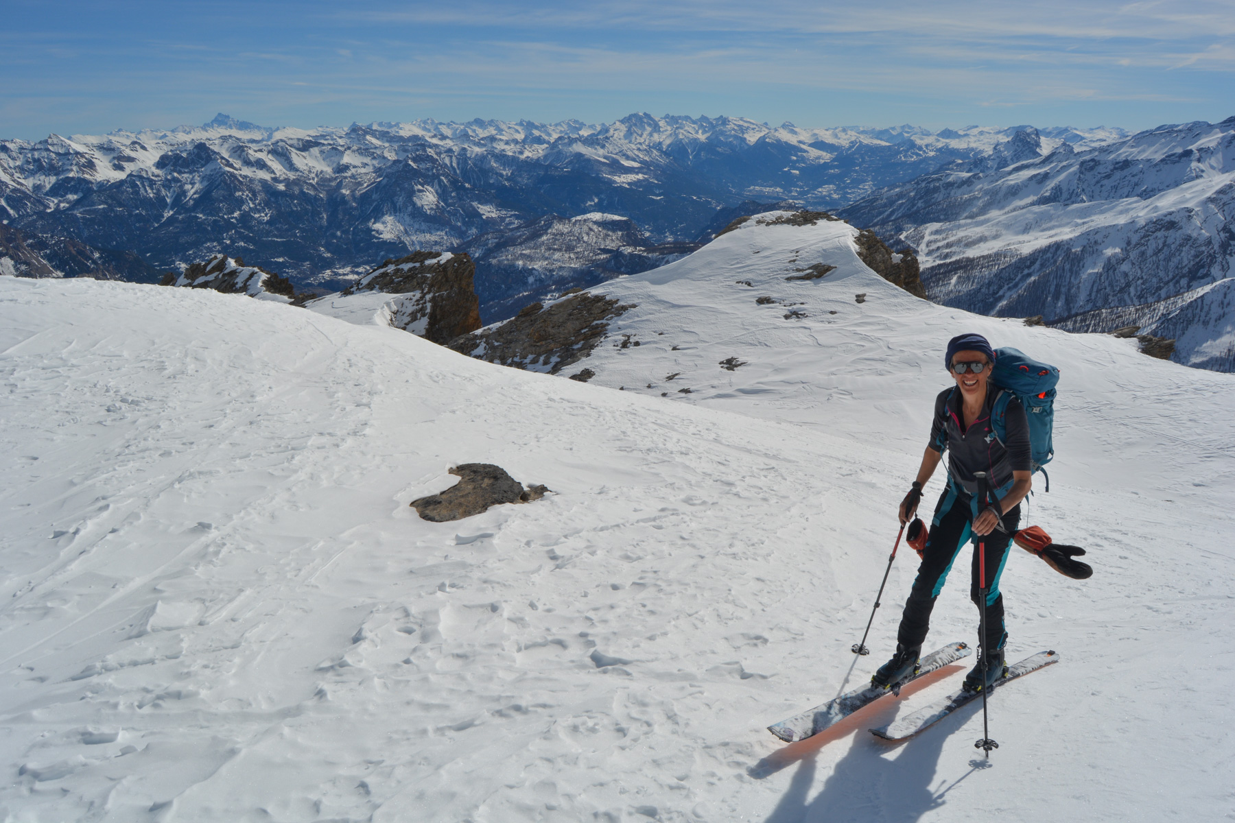
From the col, follow the cluster of rocky needles seen above, with switchbacks and slopes that are steep but not too difficult. Weave our way between the rocks to finally reach an upper flat. Cross this small depression and continue towards the summit. The route gets steeper and steeper, and finally ends up in a very small, slightly exposed and steep couloir that leads out onto a flat area (see photo). We're now exactly below the head of La Blanche. There are 80m of ascent left to reach the summit.
Retrace your steps at the lower landing, skidding down the narrow couloir that gives access to the wide valley. Depending on the state of the snow, choose your route, rather to the right as it is more exposed to the north (especially if the snow changes quickly). More or less go back over the pass above the ridge. Descend below the large Vallon du Riou de l'Alp with steeper sections, but without exceeding 35°.
Before reaching the bottom of the valley, cross over to the top of the 2nd chairlift and follow the downhill ski slopes to the bottom. Or continue down the valley following the torrent, keeping to the right until you reach a track that leads back to the top of the 1st chairlift, passing by a snow cannon feeding basin.


Leave a Reply