


TOPO Snowshoeing | CLIMBING7.COM
Publié le
 Partager sur WhatsApp
 Partager sur Twitter
Partager sur Instagram
Partager sur Twitter
Partager sur Instagram

 Partager sur Facebook
 Imprimer le topo
 Laisser un commentaire

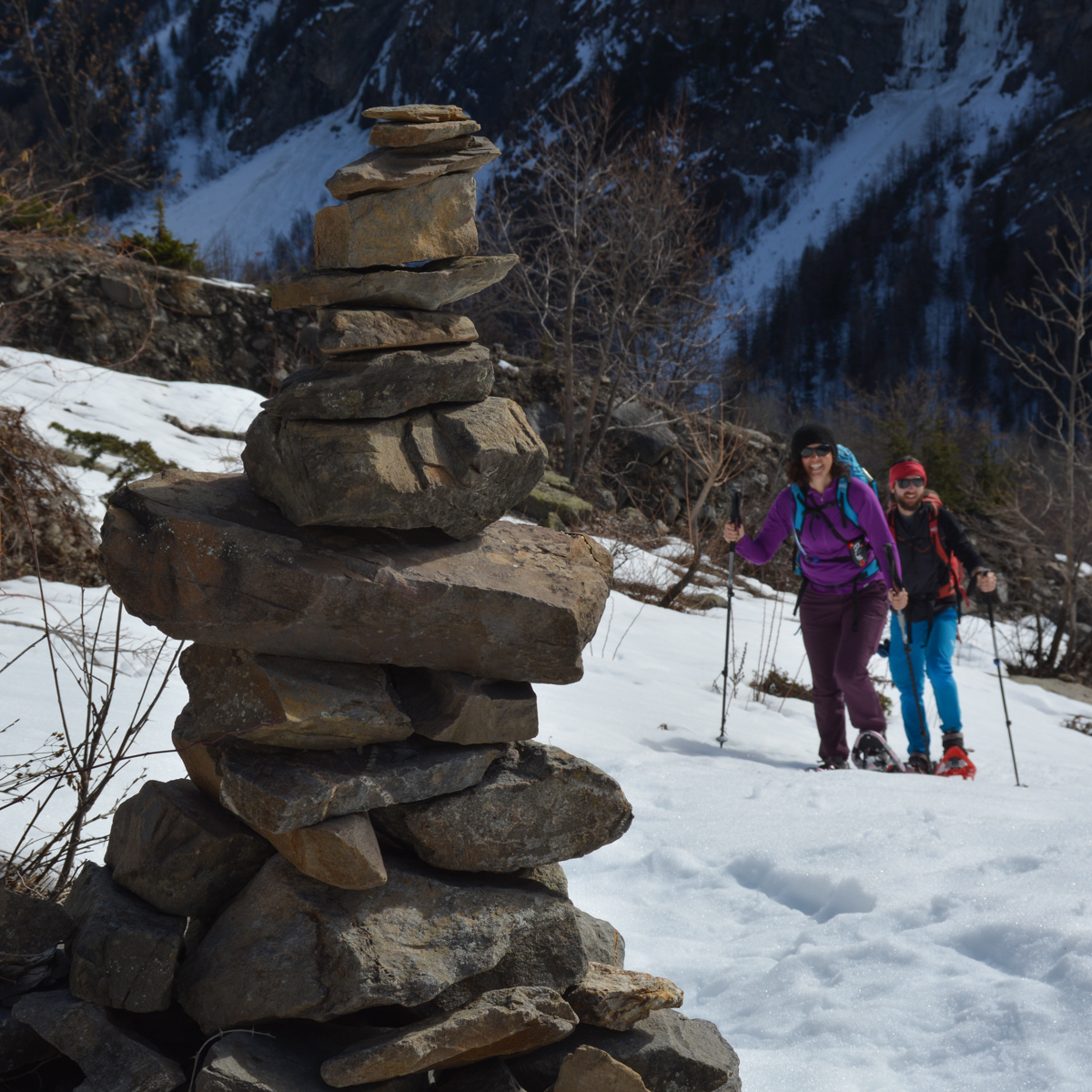
In the south of the Écrins massif, the steep valley leading to Dormillouse is quite spectacular. Due to snow on the road to the village of Les Viollins, we were unable to make the loop around lakes Palluel and Faravel that had been planned. The snowshoe hike was improvised on the southern slope of the ridge formed by the heads of Dormillouse (3085m) des Raisins (2655m) and la Lauzière (2397m). In an attempt to reach the valley floor, snow forced us to turn back halfway along the route, at the level of the torrent d'Odeyer, before finally making a pretty loop back through the hamlet of Les Allibrands. Superb views of Pic Brun (3117m) and Roc Diolon (3071m) on the south side. Wild alpine ambience guaranteed.
❱❱ Technical summary
Type ✦ Snowshoe hiking
Location ✦ Les Viollins
Region ✦ Parc des Écrins, Alps
Country ✦ France
Length ✦ 7,2kms
Vertical rise ✦ 250m
Difficulty ✦ MD
Max altitude ✦ 1900m
Duration ✦ 3h30 to 4h
Interest ✦ ★
❱❱ Access to the place
On the N94 between Embrun and Briançon, turn off towards Freyssinières. Follow the D238 to park at Viollins.
❱❱ Map & topo
❱❱ Itinéraire
Cross behind the village of Viollins to the north, and a little further up, you'll find a path in the woods that heads roughly west.
With the presence of snow, the route is not always easy to see, even if the direction is obvious. As the trail faces south, depending on snow conditions, it may be necessary to remove snowshoes in dry areas.
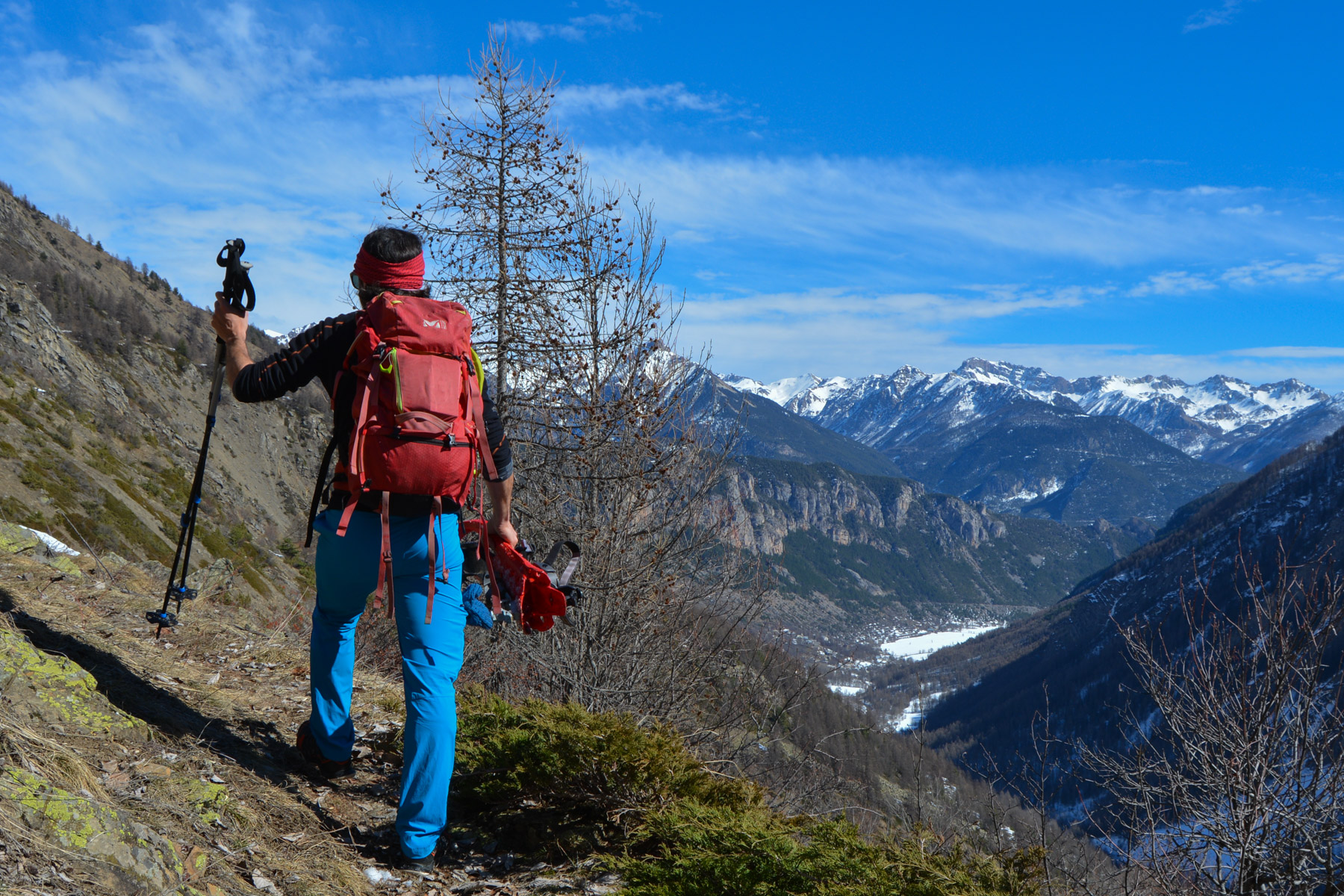
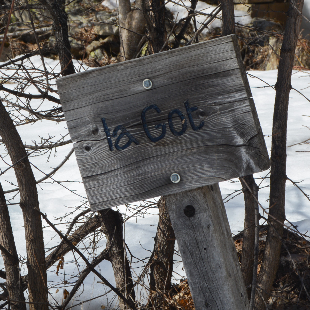
The trail climbs and at the same time plunges towards the valley floor, with wide curves to reach the few isolated houses of La Got. Pass above the hamlet to find the fork to the right of Les Allibrands and to the left of Dormillouse (yellow signpost). Turn left towards Dormillouse and the path continues to climb, eventually crossing a ridge and descending gently until it crosses the bed of the Odeyer torrent. At this point, we turn back because of the snow conditions and the exposure of the rest of the trail above the cliffs.
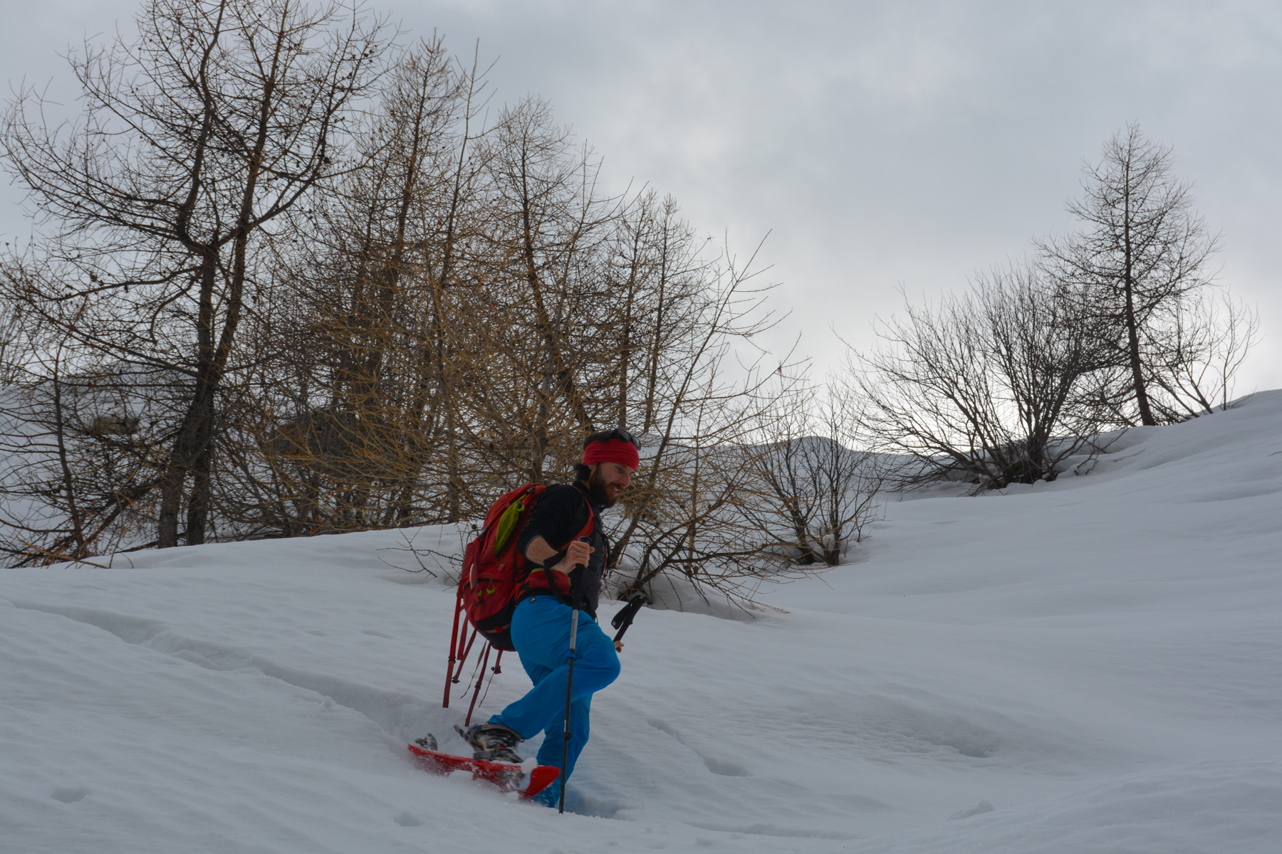
Follow the trail in the opposite direction back to the fork, this time heading due east towards Allibrands. The path climbs steeply again, overlooking the entire Freyssinières valley. Once past a sort of shoulder, the path continues down into the bed of the Allibrands torrent (difficult to follow because of the snow). There is only one way to cross the torrent at a waterfall. On the other side, a path equipped with a lifeline then leads to Allibrands, 1951m, a few old and very beautiful stone houses with a view of the mountain opposite.
Descend below the hamlet on the wide track that winds down in tight twists and turns. Further down, leave this track for Les Viollins on a mini-trail (signposted). It continues steeply down through the woods and soon you're overlooking the roofs of Viollins, where you can see the splendid ice cascades on the opposite walls. At the bottom, cross the woods to easily find the houses and return to the access road.


Leave a Reply