


TOPO Hiking | CLIMBING7.COM
Publié le
 Partager sur WhatsApp
 Partager sur Twitter
Partager sur Instagram
Partager sur Twitter
Partager sur Instagram

 Partager sur Facebook
 Imprimer le topo
 Laisser un commentaire

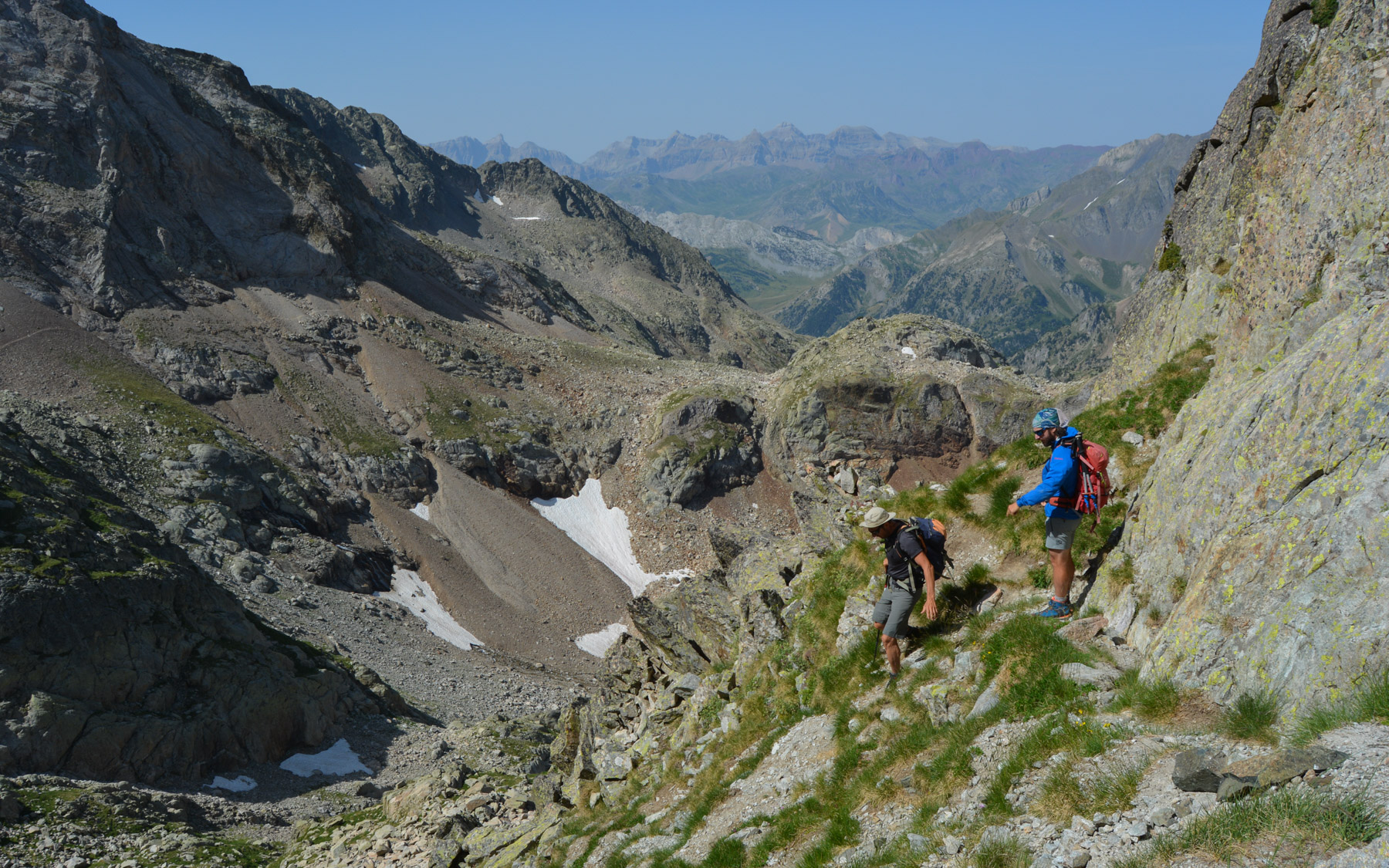
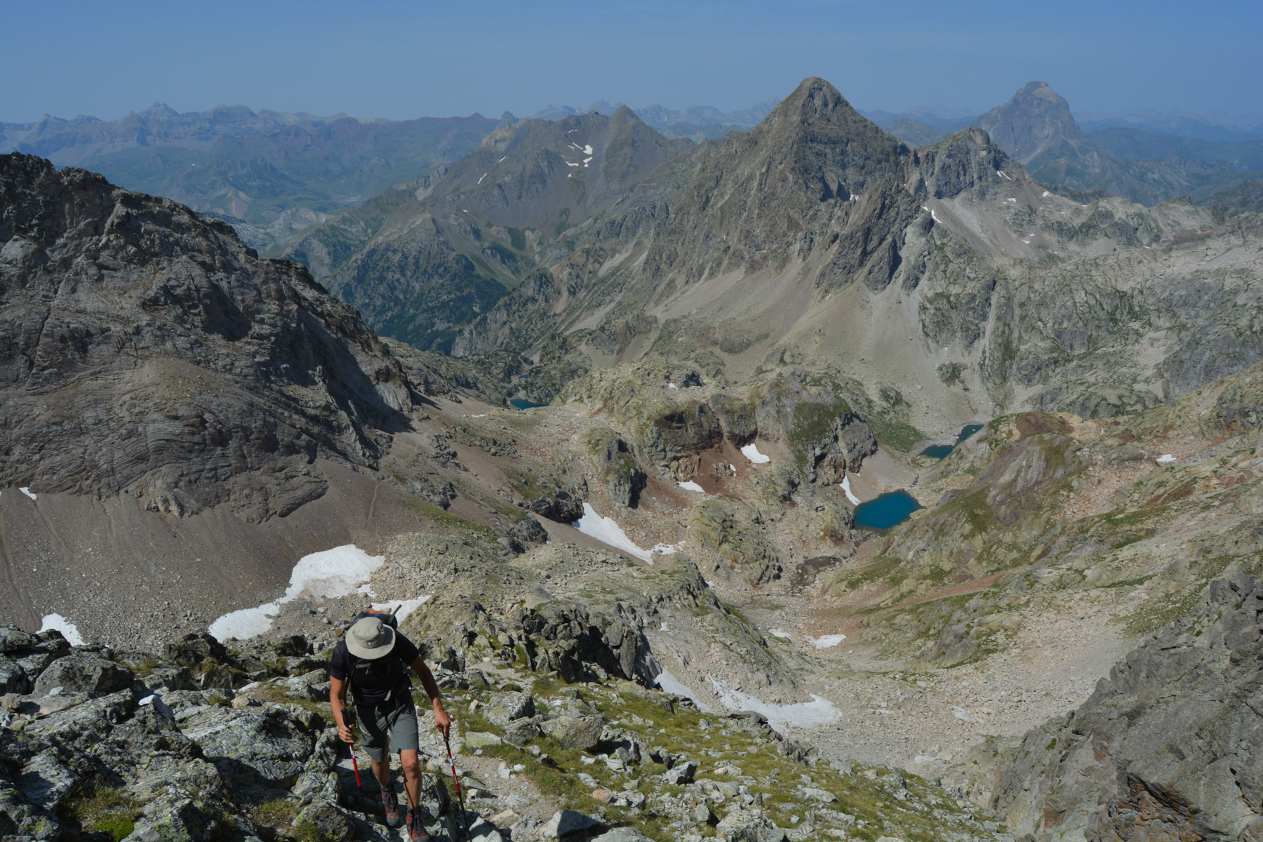
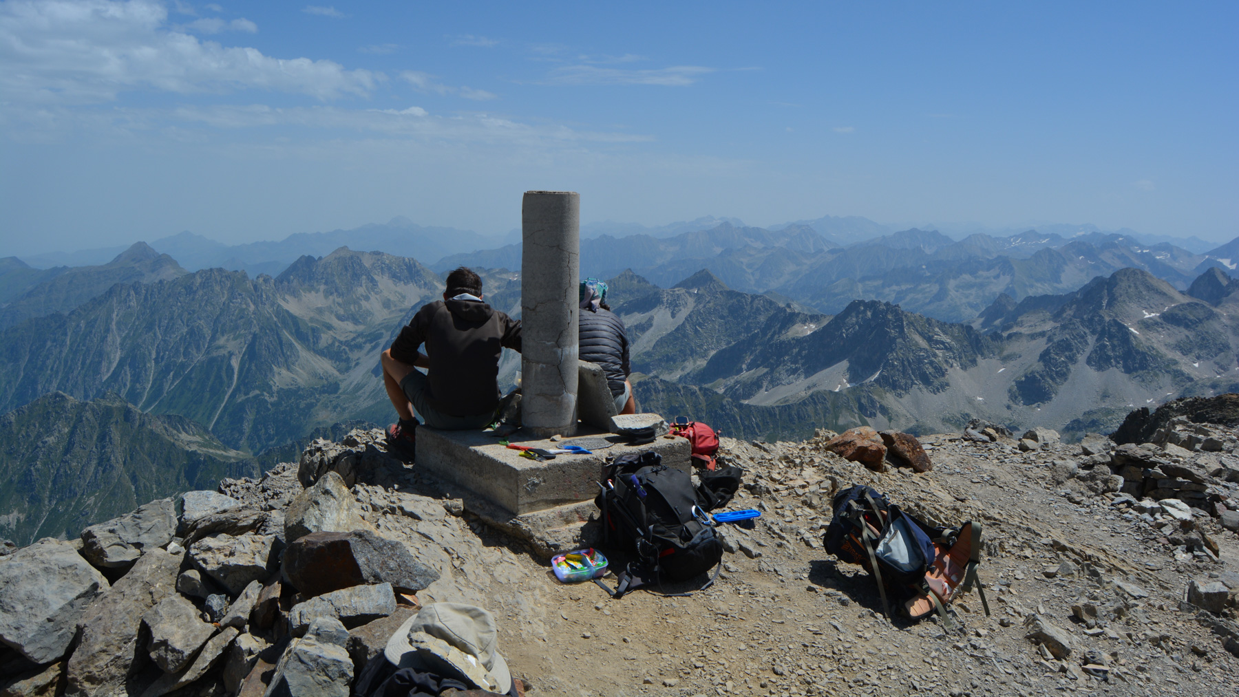
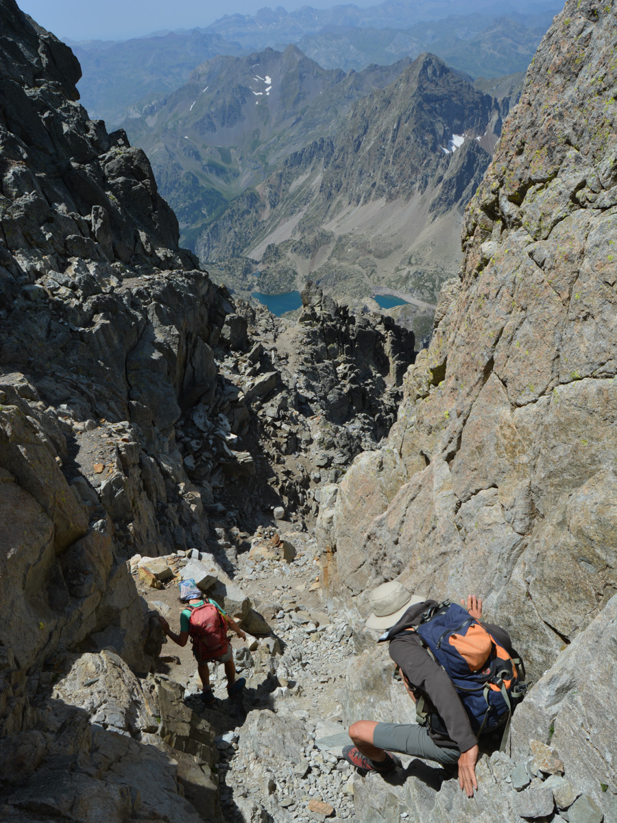
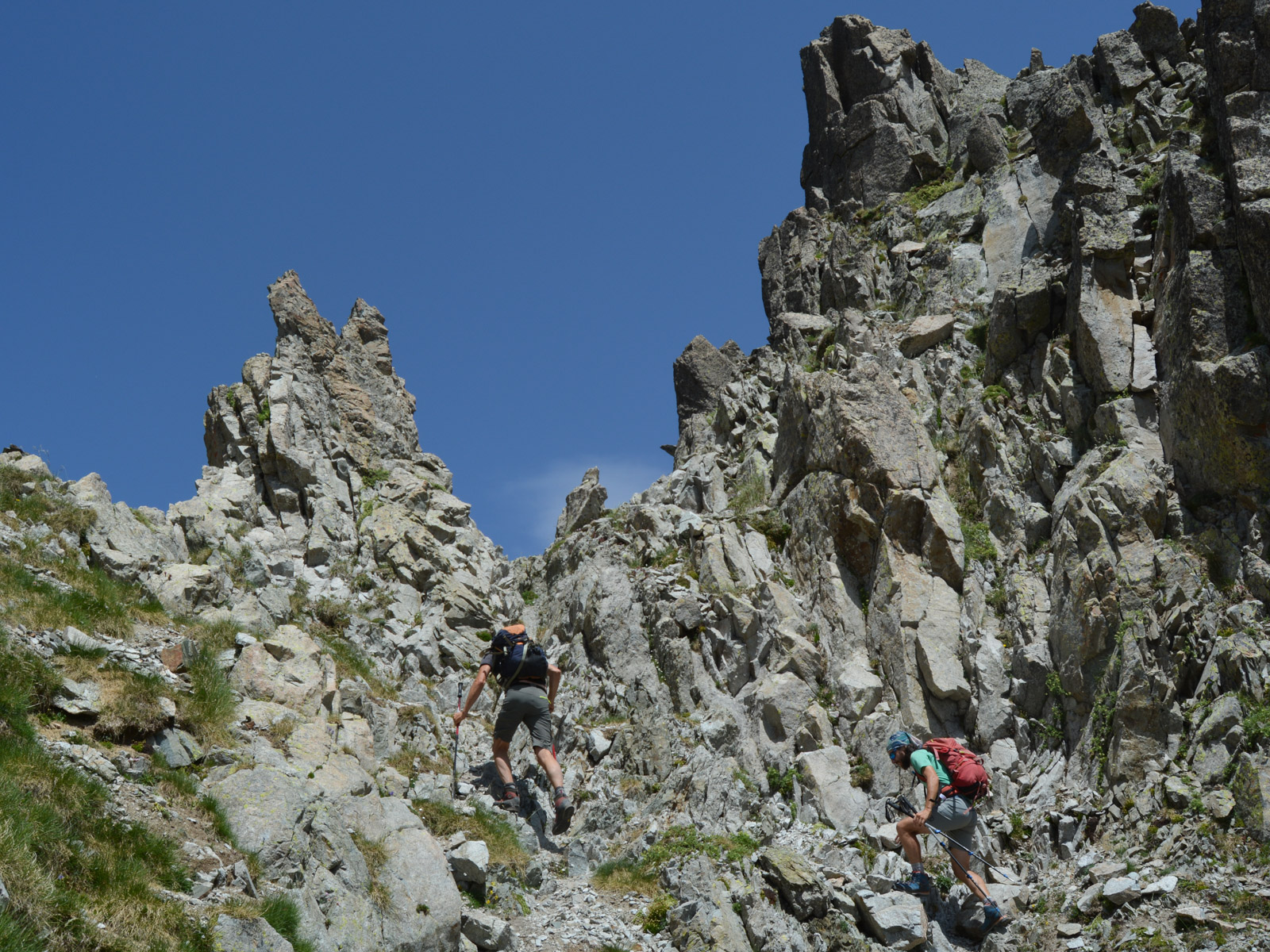
The first 3000m peak in the Pyrenees to be climbed from the West, the Pic du Balaïtous is a long, steep route with an Alpine finish on the Grande Diagonal, the normal route to the summit. From the refuge de Larribet, the border ridge is reached via the Brèche des Ciseaux and, after a short passage on the Spanish side, the rocky path takes an airy ledge above the abri Michaud. From the peak at 3145m, superb 360° views of the Hautes-Pyrénées on both the French and Spanish sides. A demanding out-and-back route where you'll be eating rock almost all the time: rock, scree, slabs and chaos!
❱❱ Technical summary
Type ✦ Alpine hiking
Location ✦ Arrens-Marsous
Region ✦ Hautes-Pyrénées
Country ✦ France
Length ✦ 18,5km
Vertical drop ✦ 1675m
Difficulty ✦ D / III+
Max altitude ✦ 3145m
Duration ✦ 10h to 11h
Interest ✦ ★★
❱❱ Access to the place
From Tarbes, head for Lourdes, then on to Argelès-Gazost. From there, take the Route d'Azun to Arrens-Marsous. Continue on to Lac du Tech and beyond to the final parking lot.
❱❱ Map & topo
Voir en plein écran❱❱ Itinéraire
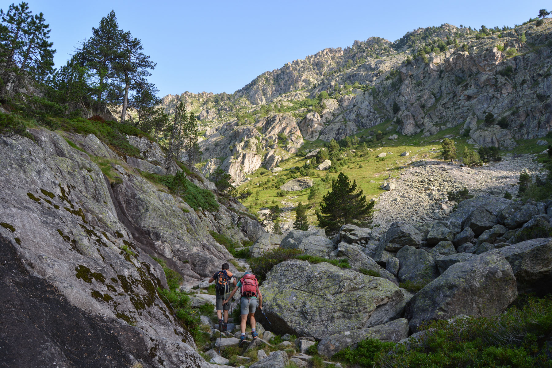
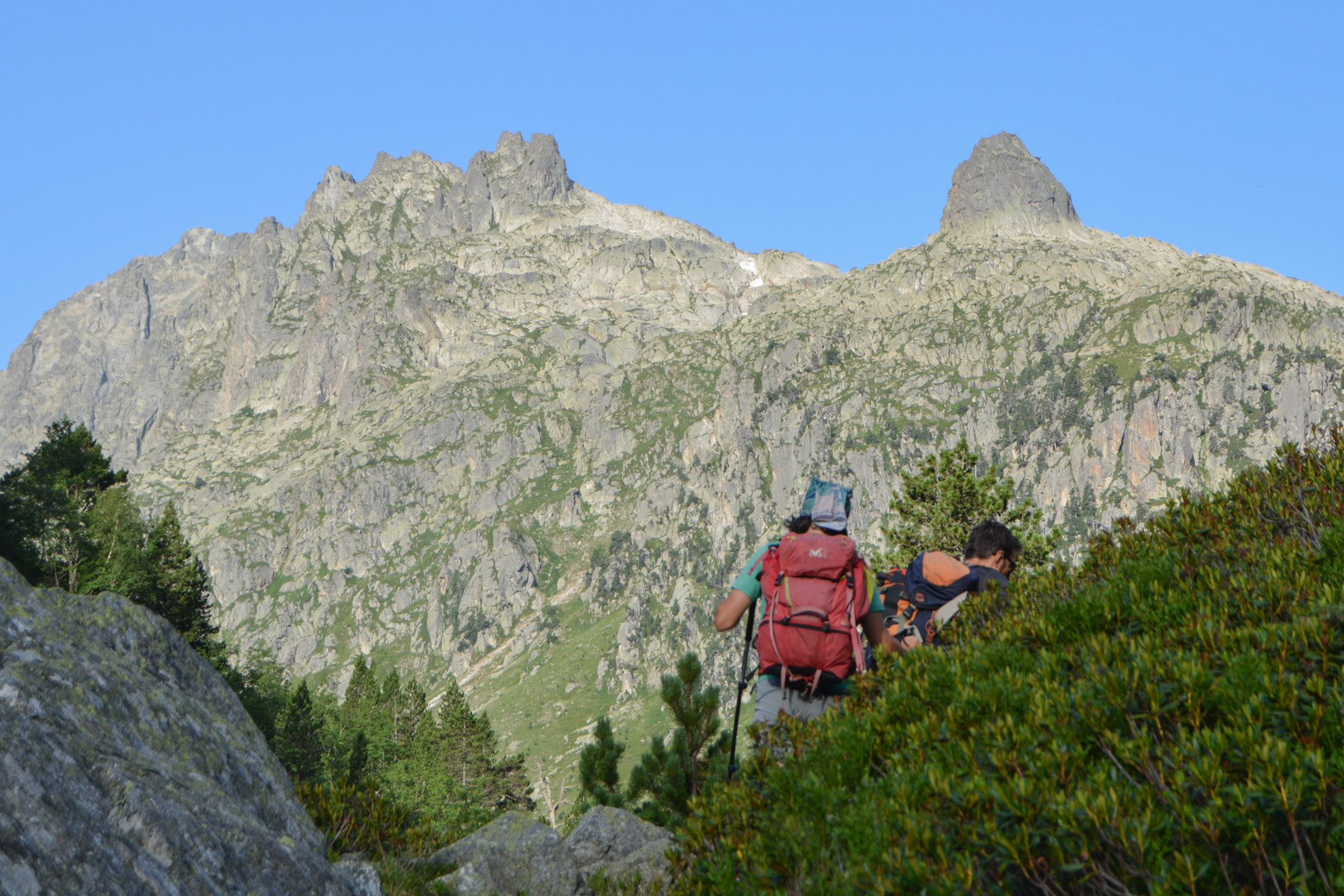
To reach the Larribet refuge. Climb up into the forest and leave it quickly to follow the Gave d'Azun on the right bank, the Lac de Suyen until you cross the torrent and branch off to the west to climb up into the forest and access a small upper valley that follows the ruisseau de Larribet. The valley floor and the rocky peaks above are gradually revealed. After the plateau, the path climbs steeper in stages, passing cascades and small granite bars. Above, over a basin opening onto the Balaïtous cirque, the trail reaches the pretty guarded Larribet refuge at 2072m. Coffee break before tackling the day's main course.
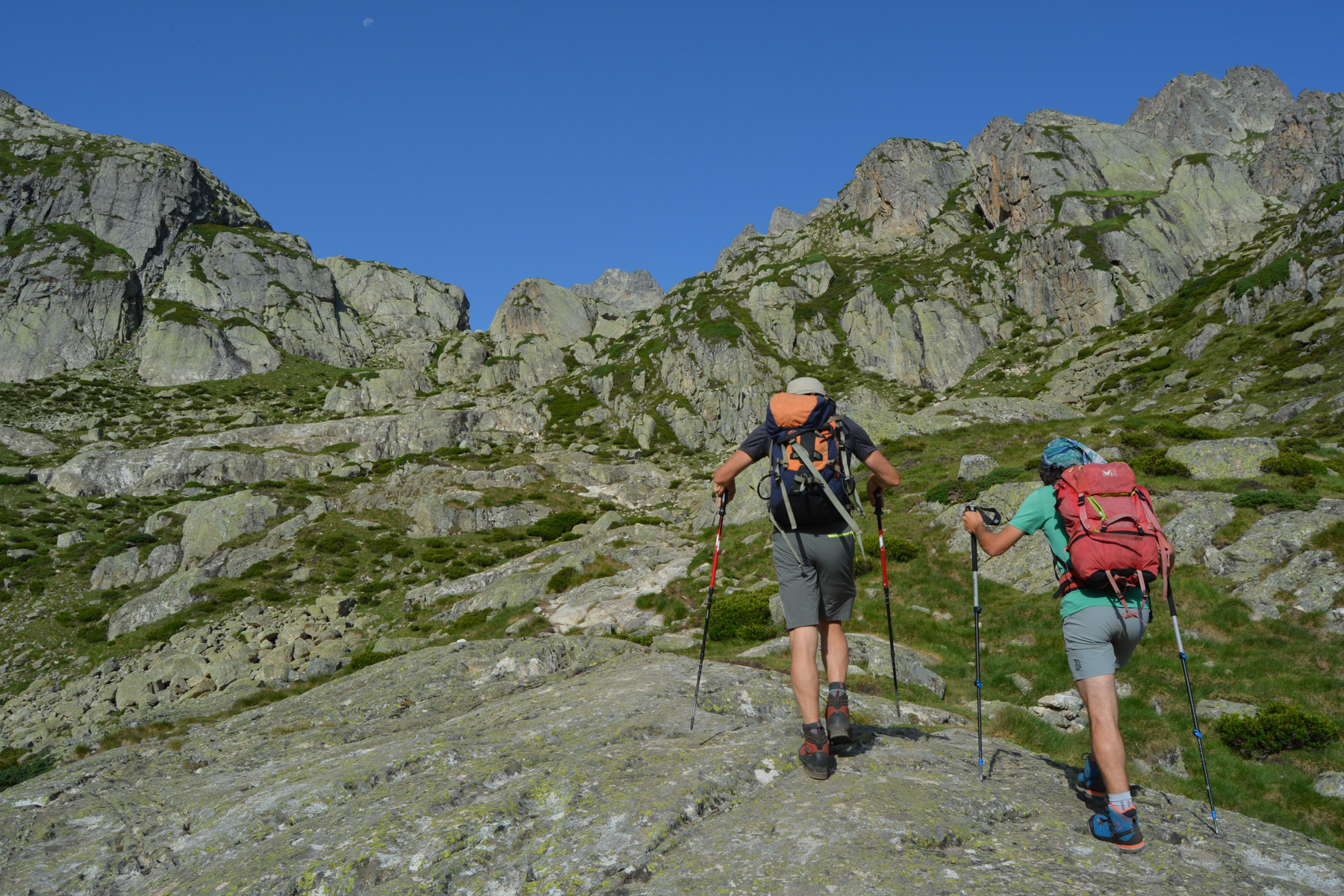
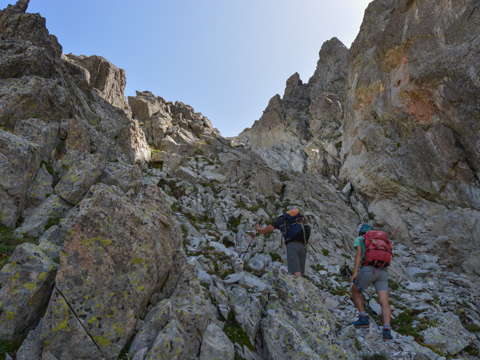
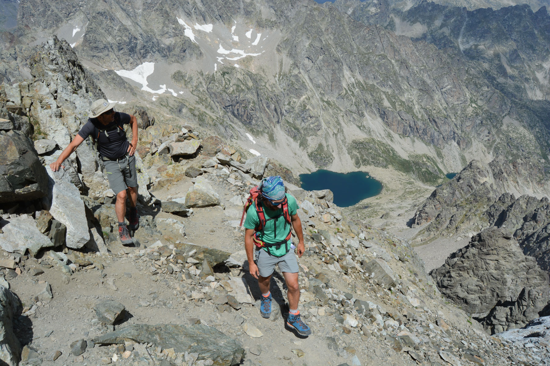
The route, although not signposted, is well marked and fairly logical, except for passing through the Brèche des Ciseaux in a scree slope and avoiding the traditional route via the Col Noir, further east, which is now not recommended as it is dangerous. In summer, when there's no snow, you don't need any equipment to climb to the summit via the long diagonal. There are a few exposed passages, and you'll have to put your hands down in places to climb or cross, but they're not very difficult (III/III+). The route is very rocky: scree, chaos, slabs, rocky path. Allow 3h30 to 4h for the ascent and 2h30 to 3h for the descent.
The approach path in the opposite direction is quite long after the day's efforts and the distance and altitude difference covered!


Leave a Reply