


TOPO Hiking | CLIMBING7.COM
Publié le
 Partager sur WhatsApp
 Partager sur Twitter
Partager sur Instagram
Partager sur Twitter
Partager sur Instagram

 Partager sur Facebook
 Imprimer le topo
 Laisser un commentaire
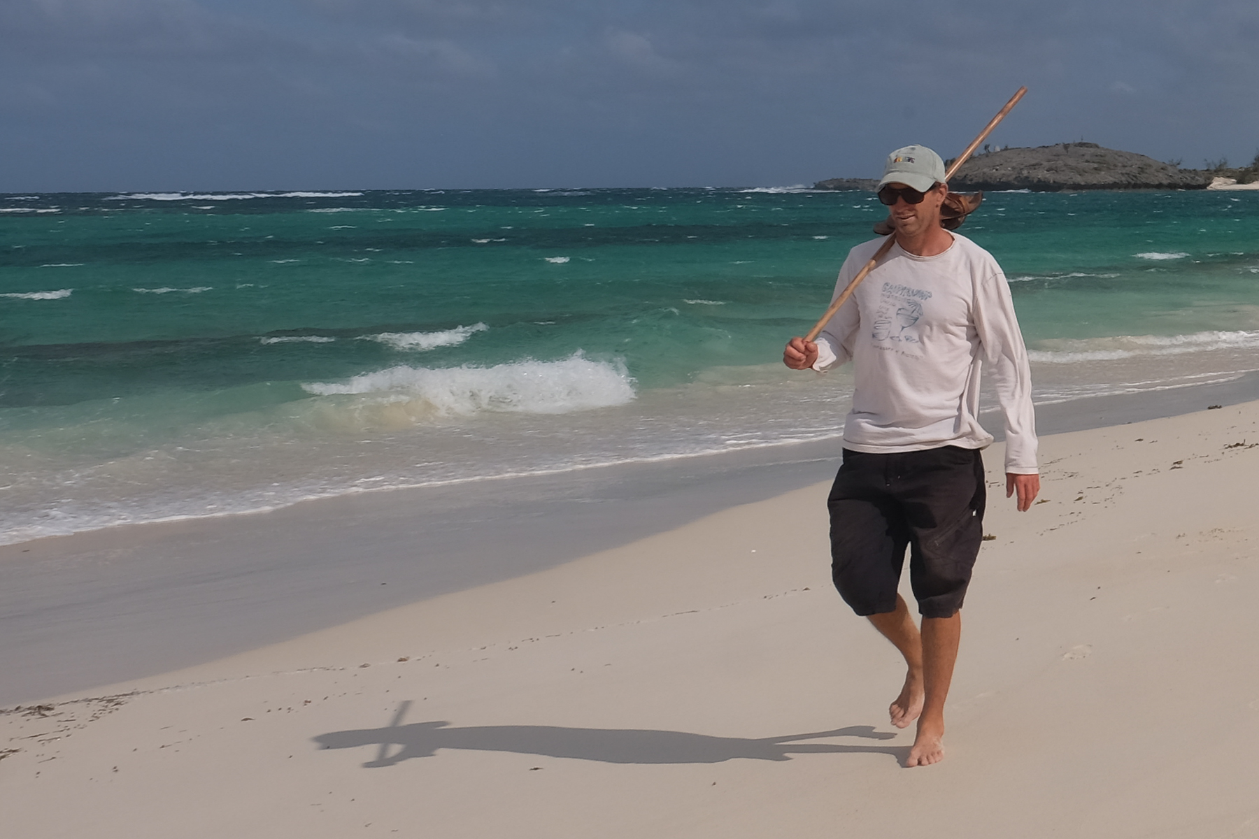
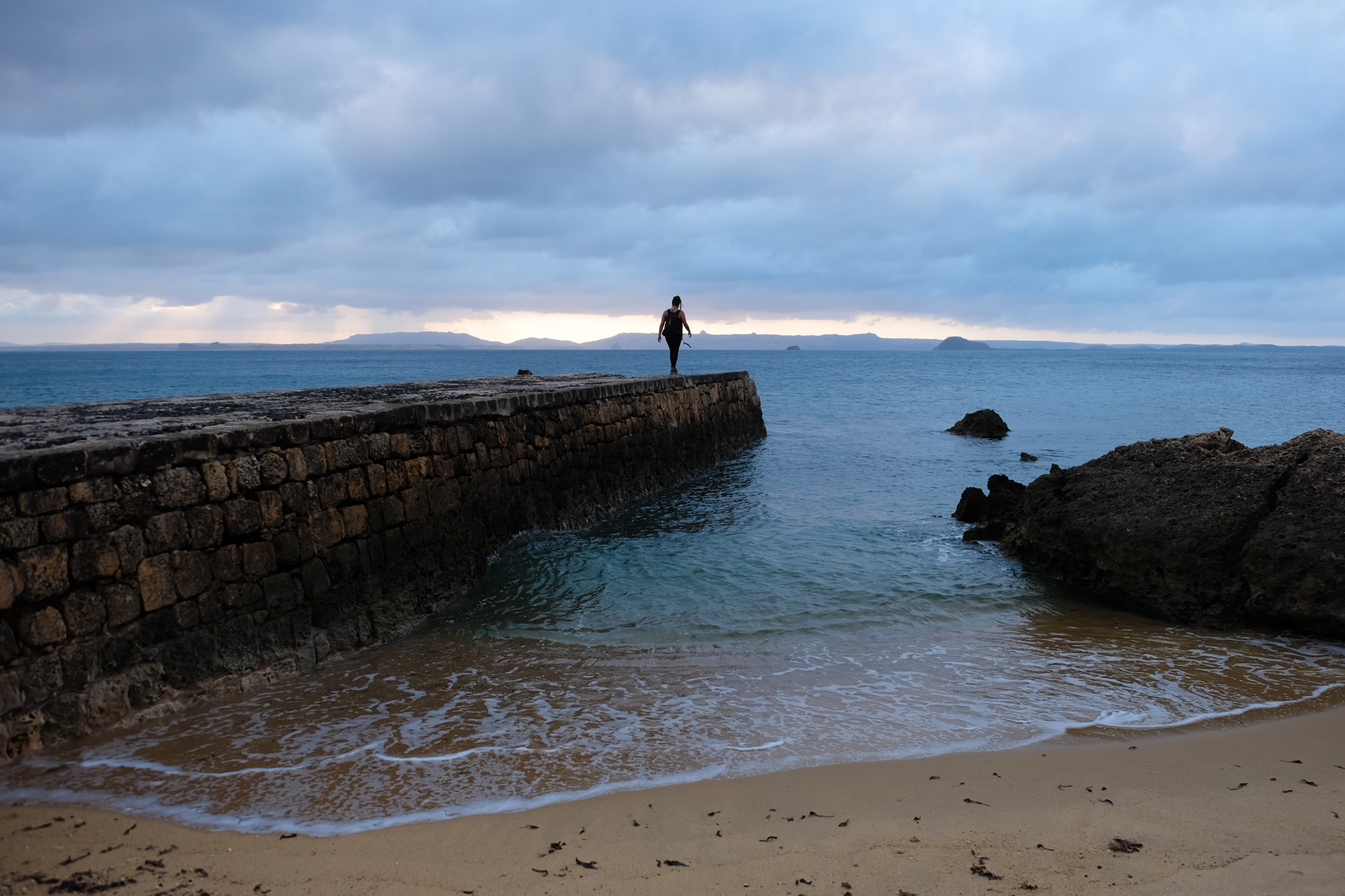
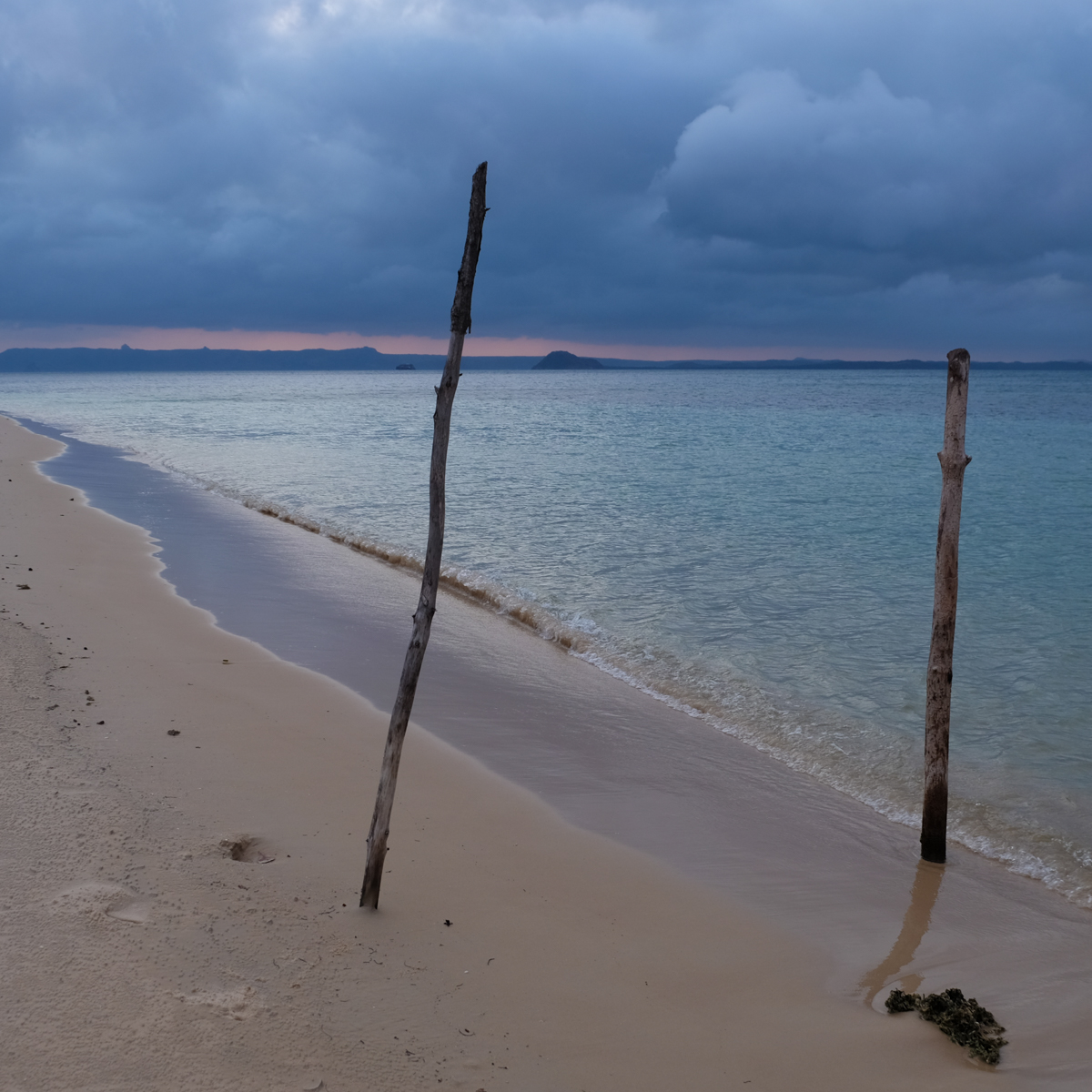
One of the region's great classics, the 3 Bays hike offers a Robinson-style coastal walk to Cap Miné, opposite the great pass of Diego-Suarez Bay. Along the way, you'll pass deserted beaches, lagoons, small fishing villages, tsingy cliffs, baobab and flamboyant trees and, last but not least, the ruins of military fortifications dating back to the Anglo-French battles and the Second World War. As a bonus, a glimpse of the Emerald Sea in the distance, a turquoise-green lagoon so luminous that you'd imagine it was lit from a giant spotlight below! In short, a pleasant and varied way to discover the area.
❱❱ Technical summary
Type ✦ Coastal trail
Location ✦ Sakalava Bay
Region ✦ Ramena, Diana
Country ✦ Madagascar
Length ✦ 10kms
Difference in altitude ✦ 150m
Difficulty ✦ F
Duration ✦ 3h to 3h30
Interest ✦ ★
❱❱ Access to the place
From Diego-Suarez (Antsiranana), take the Ramena road to the east of Diego, on the southern tip of the bay's large access channel. A few kilometers before Ramena, fork right at Ankorikely. 5 kms of dirt and sand track to reach the end, at the entrance to Sakalava Bay. Some cabs take you there, but not all, given the state of the road. Otherwise, ask for a 4×4 transfer.
❱❱ Map & topo
❱❱ Itinéraire
From the end of the track, follow the access between the Varatraza Wind Riders and the village gargotes to reach Sakalava Bay, on the more southerly side.
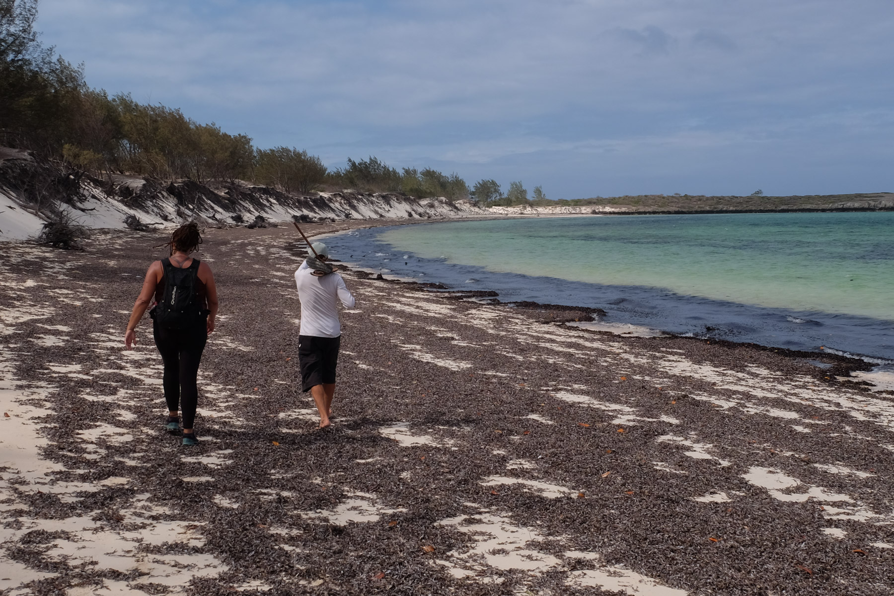
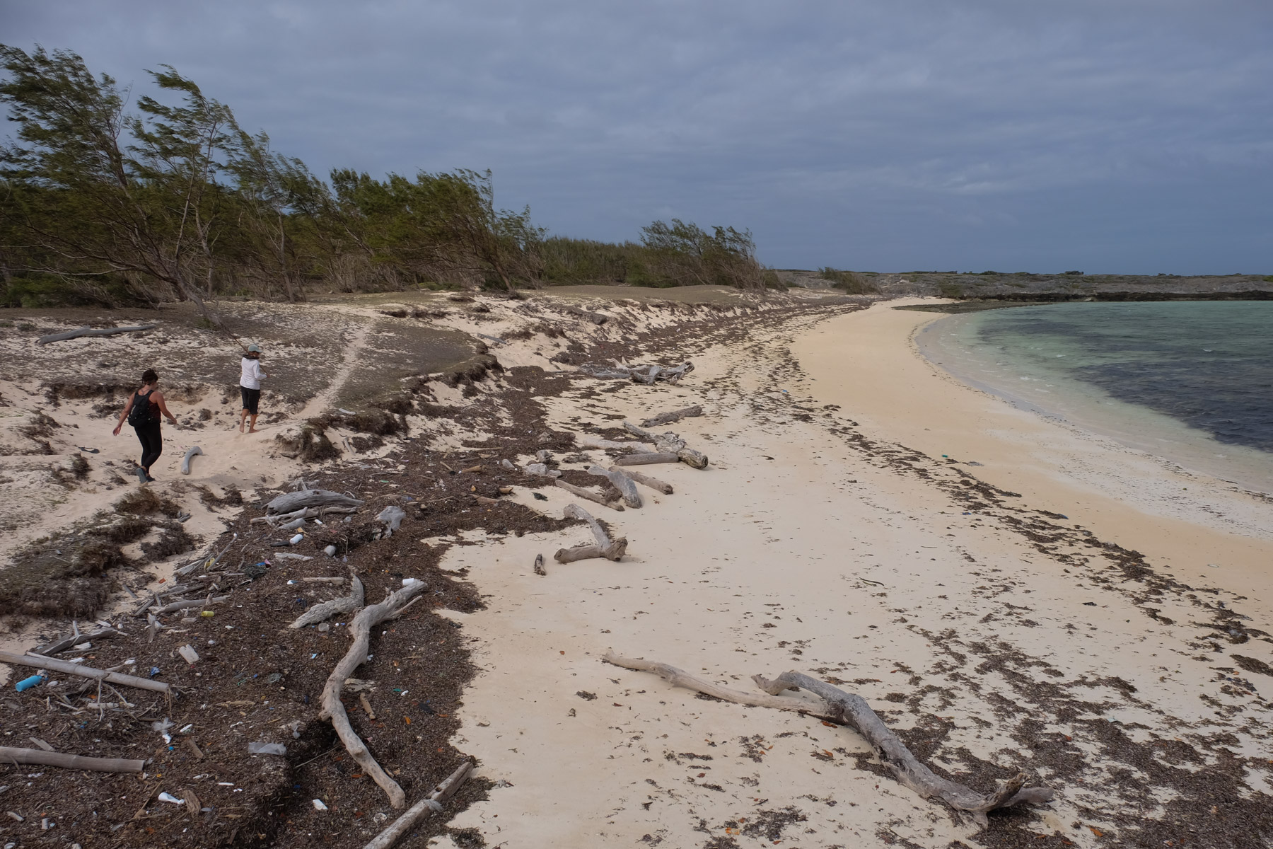
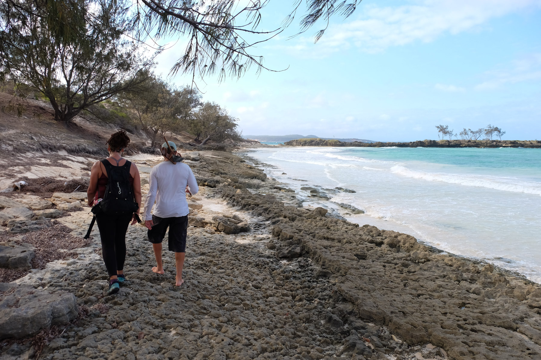
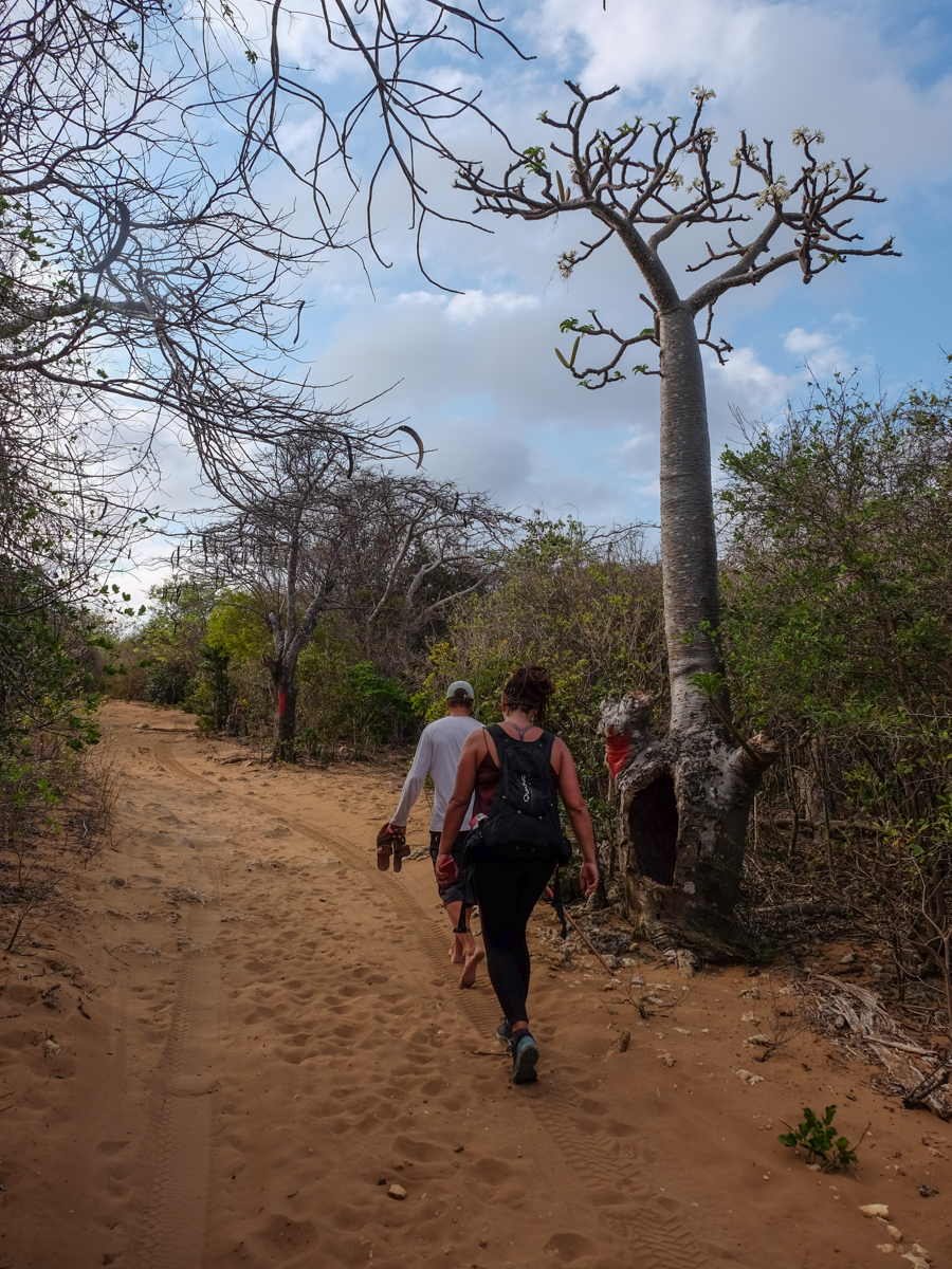
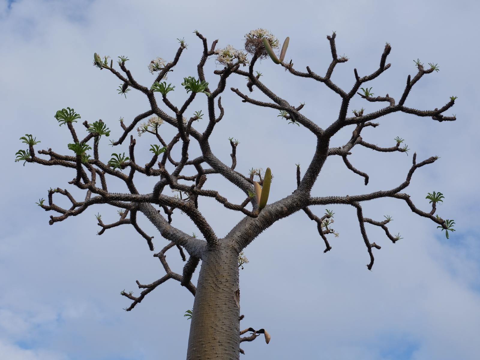
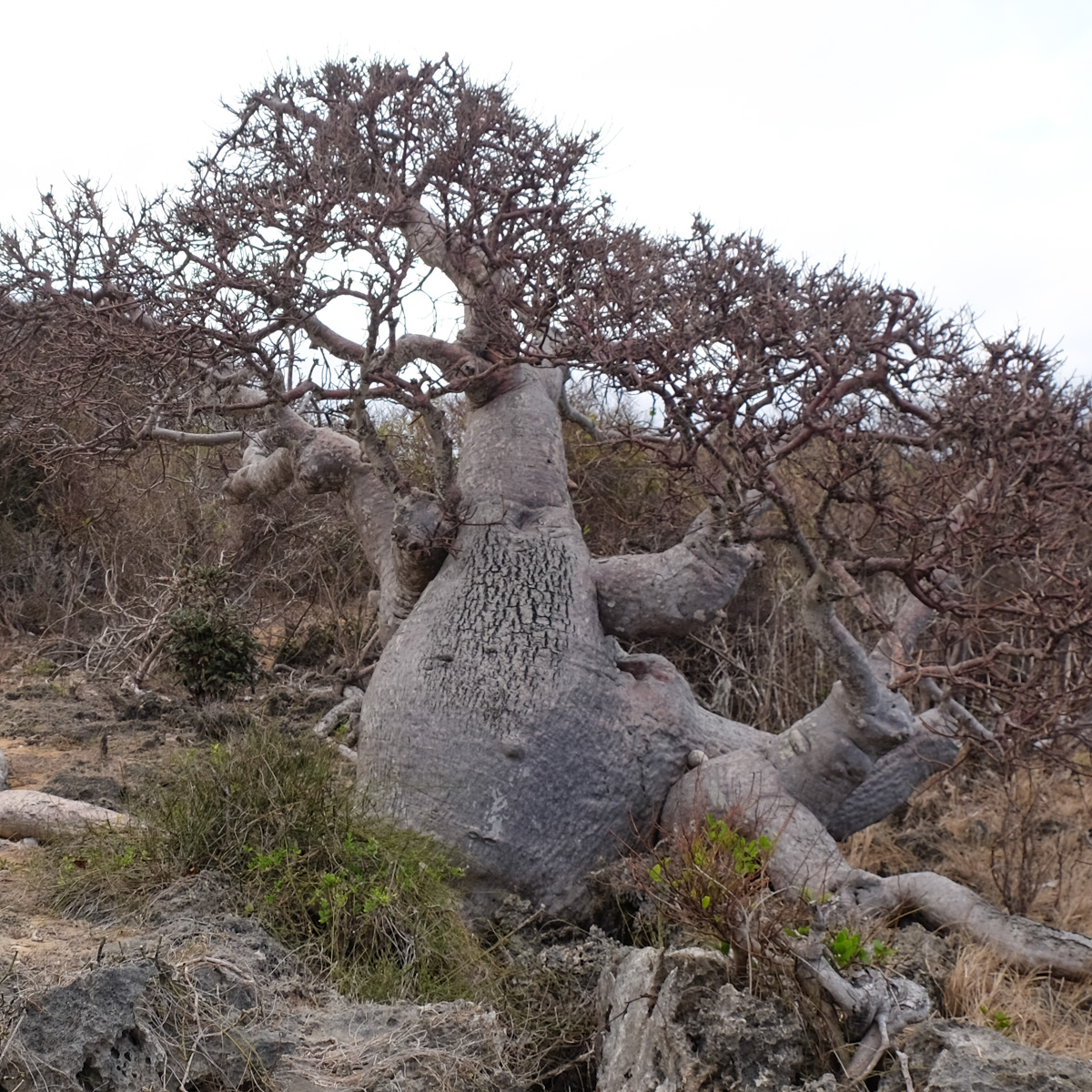
The route follows a south-north axis along the coast. The route is easy and straightforward, except on the final stretch between the Baie des Dunes blockhouse and the lighthouse, where you need to pick up the little paths that run along the cliff edge. The expected time is that of walking. Given the splendid deserted beaches you'll discover, add swimming time in Robinson mode. On the final section, in a forest of Flamboyants, we come across some magnificent pachypodiums and a stubby, twisted baobab planted 2 steps from the cliffs.
Head due north up Sakalava Bay. At the end, climb over the dunes to return east on the path that leads to the rocky headland. There's a lovely view of the bay and the kiteurs. Crossing this point, you come directly to another, more enclosed bay. Follow the path that joins the beach, skirting it without going all the way, then crossing under the trees to emerge on a new beach, well sheltered and totally deserted. We're about 30′ from the start, an ideal spot for a postcard splash.
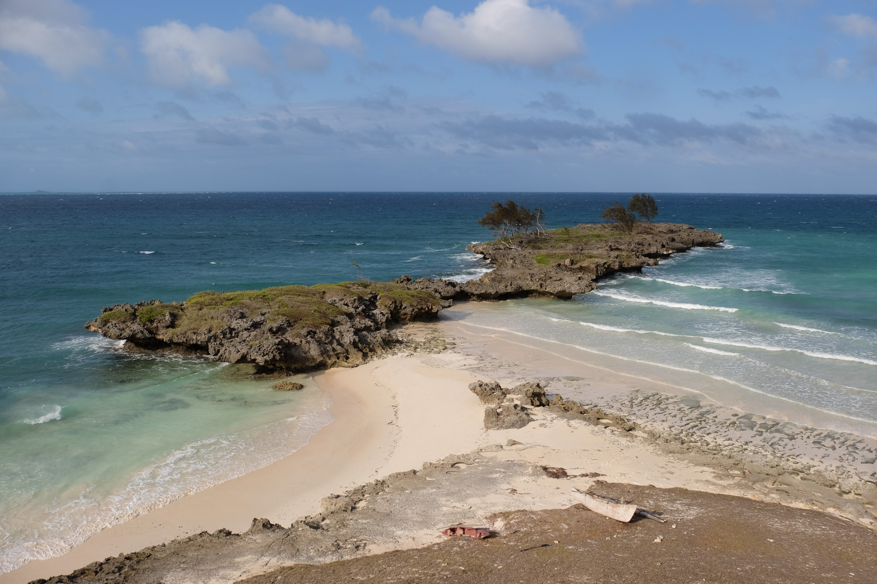
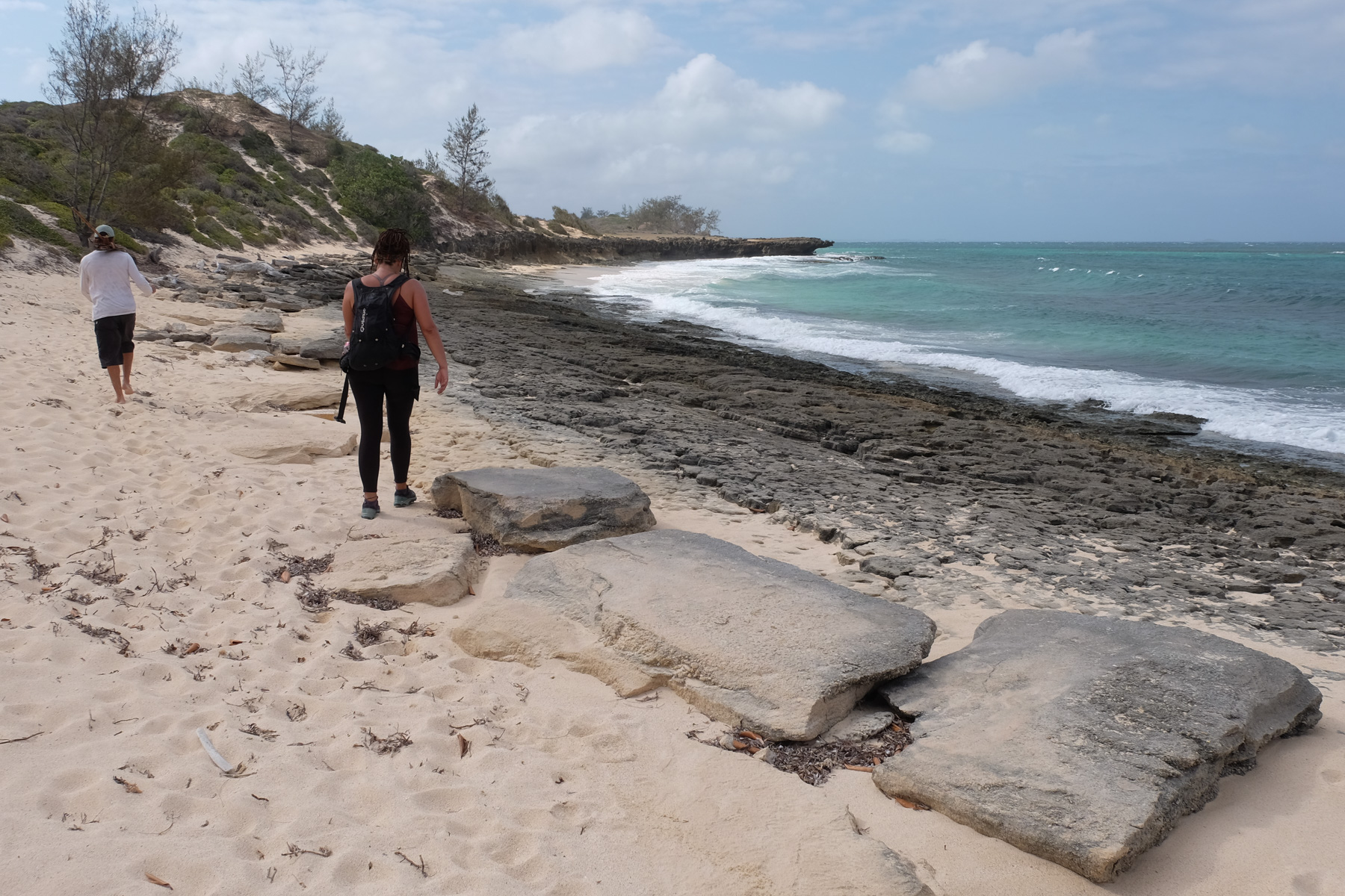
Continue along the beach, which ends on a mini tsingy cliff. The trail passes over a small plain beside limestone formations cut out above the water. Further on, it climbs a little. We pass a mini hilltop to discover the Baie des Pigeons in the distance. What remains is to cross a large, somewhat desolate area, with shrubs, and further down a more marshy zone, flooded at high tide, with, if you look closely, fossilized and mineralized sponges and corals in the limestone. You then come to Pigeon Bay. If the tide is high, the trail is further inland, beneath the shrub forest.
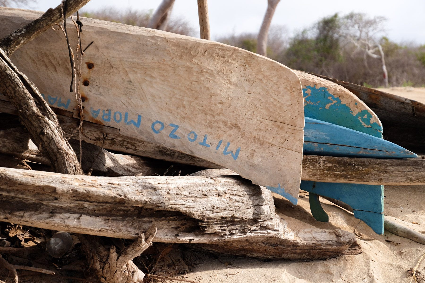
Return to the beach. There are a few large limestone boulders planted on the sand. At the very end, a little before the point, cross over into the sand to end up in the 3rd bay, Baie des Dunes. Following the shoreline, you pass a tiny fishing village. Outrigger canoes await your next outing. At the end, a promontory. Climb a little to reach the Blockhaus, above a beautiful point jutting out over the colorful waters. In the distance, the emerald sea begins to reflect its turquoise glow. A fine observation and defense post for the entrance to the bay.
From the blockhouse, go behind and take the sandy 4×4 track heading north-east. After a few minutes, fairly quickly, fork right onto a fairly wide sandy path, which runs under a forest of flamboyant trees. To be sure you're on the right path, a 3-stone cairn is set 20m to the right, and if not, after a few minutes there's a characteristic pachypodium on the right (see photo). The path comes closer and skirts the cliff, some 40 or 50m above the water. Views of the coast, the bays to the south, the pass and the Emerald Sea.
Further along, we come across the famous twisted baobab tree, well anchored 5m above the water, half on the tsingy ground. We also follow the 4×4 track on the left. Further on, the trail joins it, only to quickly ausii 20m further on, go right again on a mini-trail that this time joins the cliff edge. Follow it to the end to reach the Cap Miné lighthouse and the fortifications that precede it: ruins, cannon, platform.
From the lighthouse, head south along a path through a forest of badamiers (or bonaras), before descending a little and rejoining the 4×4 track. Soon, heading east this time, we reach a small bay by the military camp. A return trip to the lighthouse and the ruins of the fortifications at the point is well worth the detour, for a lovely panorama of Diego Bay, the pass and a visit to the 4 period cannons used to defend the bay.
From here, head south along the beach, past the military post (you'll have to pay a toll of 10,000 ariarys to date) and continue along the beach to the fishing village of Ramena. From here, take a cab back to your point of departure, Diego or Sakalava Bay.


Leave a Reply