


TOPO Ski Touring | CLIMBING7.COM
Publié le
 Partager sur WhatsApp
 Partager sur Twitter
Partager sur Instagram
Partager sur Twitter
Partager sur Instagram

 Partager sur Facebook
 Imprimer le topo
 Laisser un commentaire
To the south of the Bauges massif, starting from the small ski resort of Le Vargnoz, La Petite Chaurionde is a popular local run, offering a pretty valley to ski and an aerial view to the south from the ridge. The gradual but steeper ascent on the final stretch is made in the shade before a descent along the same path into the wide combe of the Nant Sec stream.
❱❱ Technical summary
Type ✦ Ski touring
Location ✦ Seythenex, Faverges
Region ✦ Massif des Bauges, Haute-Savoie
Country ✦ France
Orientation ✦ Northwest
Max altitude ✦ 2123m
Ascent length ✦ 5,4kms
Vertical drop ✦ 975m
Difficulty ✦ R-2.3-E1
Max. gradient ✦ 35
Duration ✦ 2h to 3h
Interest ✦ ★
❱❱ Access to the place
From Seythenex, north-west of Albertville, drive up to the Vargnoz ski resort, where you can park under the start of the (only!) chairlift.
❱❱ Map & topo
❱❱ Itinéraire
Start out on the path/trail for a few minutes to find the fork to start the ascent.
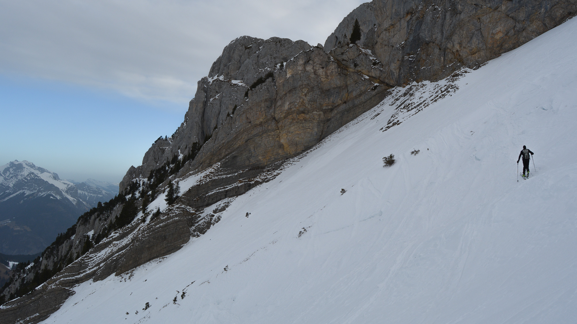
At the 1st bend in the trail, continue straight ahead on a wide corridor that climbs gently up into the forest. After about 20 minutes, the trail continues, but on a steeper slope. You soon see the rocky bars above (Pointe de la Sambuy). You then approach the Chalets, which you can see in the distance.
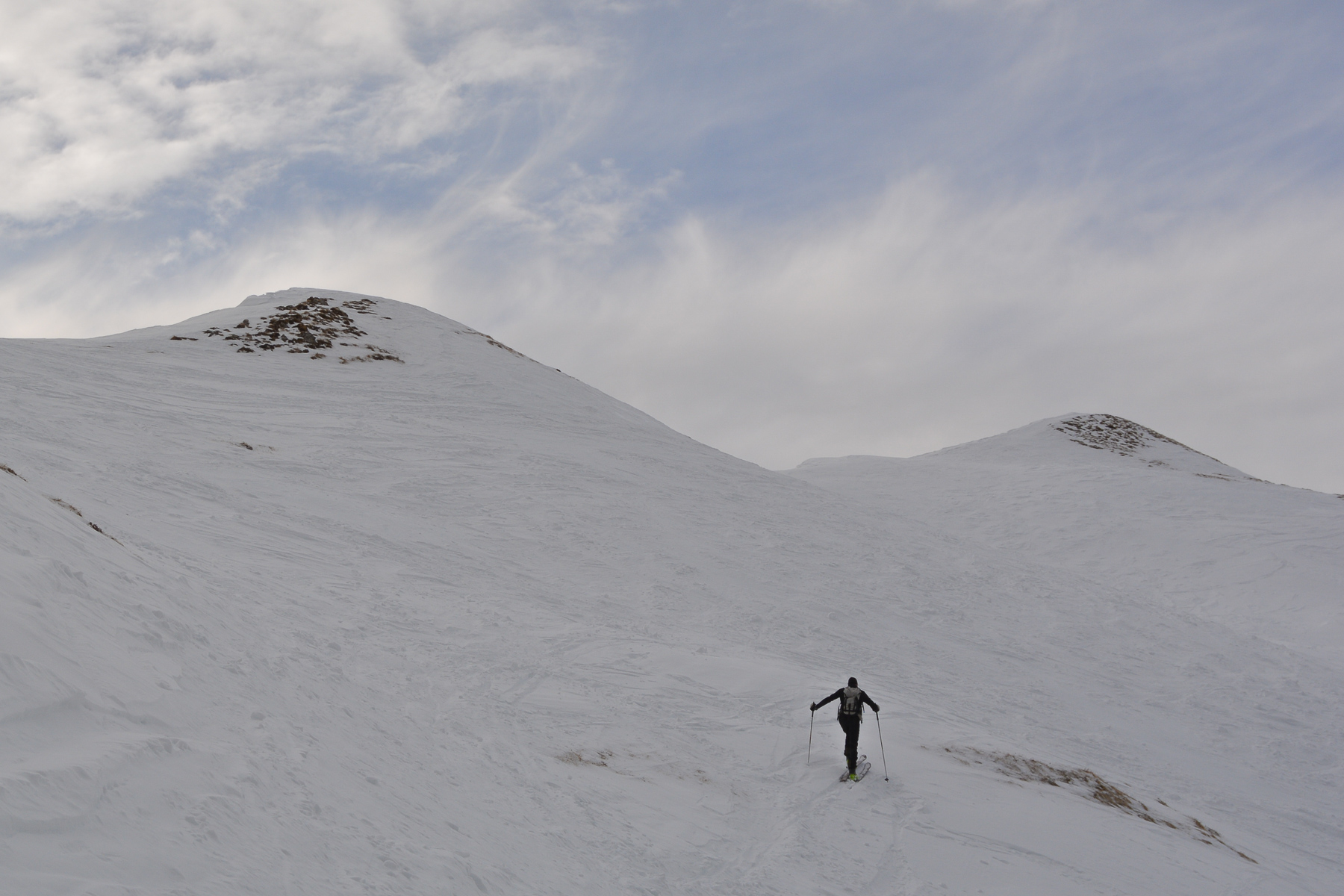
Before reaching them, cut underneath to cross the bed of the Nant Sec stream and reach the bottom of the combe. The remaining 400-500m of ascent is made up of large hairpin bends, then smaller ones higher up where the slope becomes steeper. The final section is quite steep and, depending on the conditions, knives may come in handy.
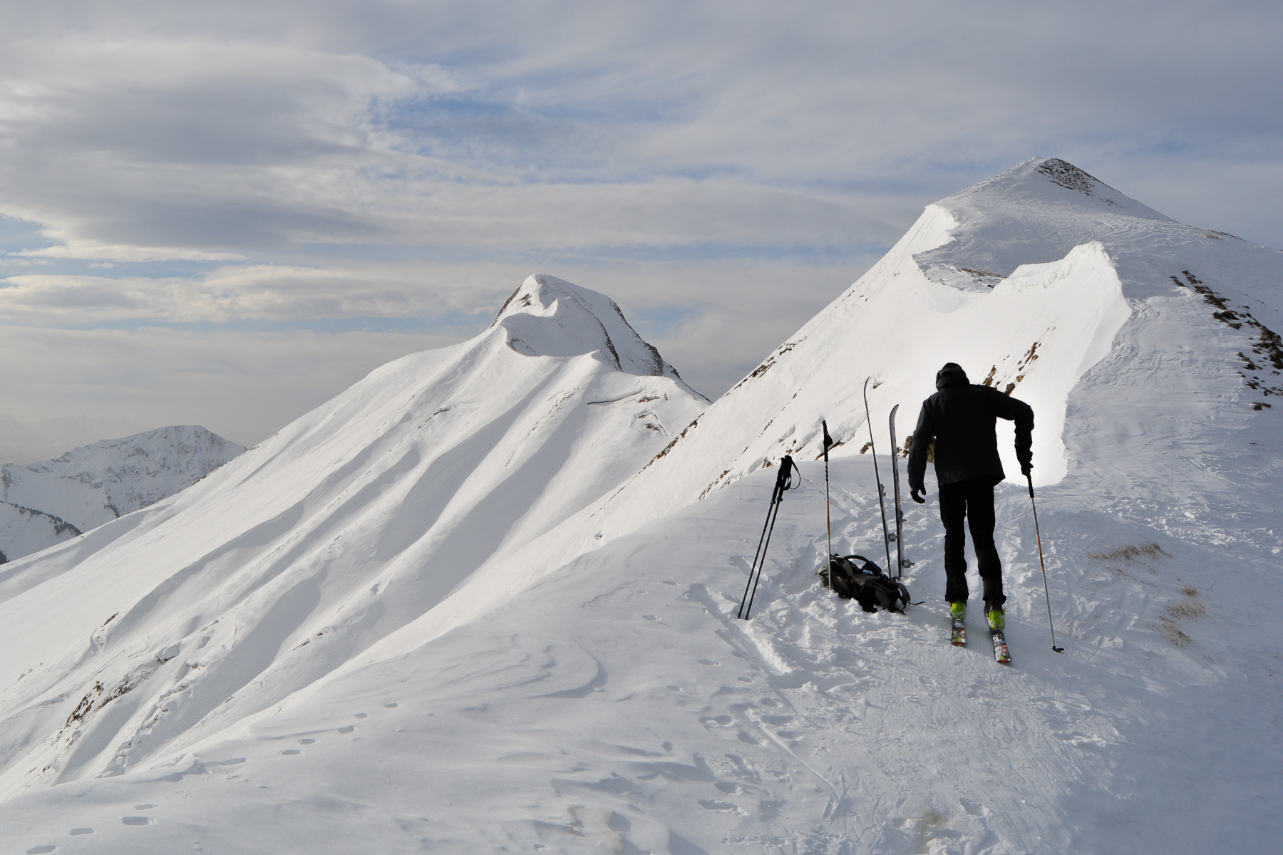
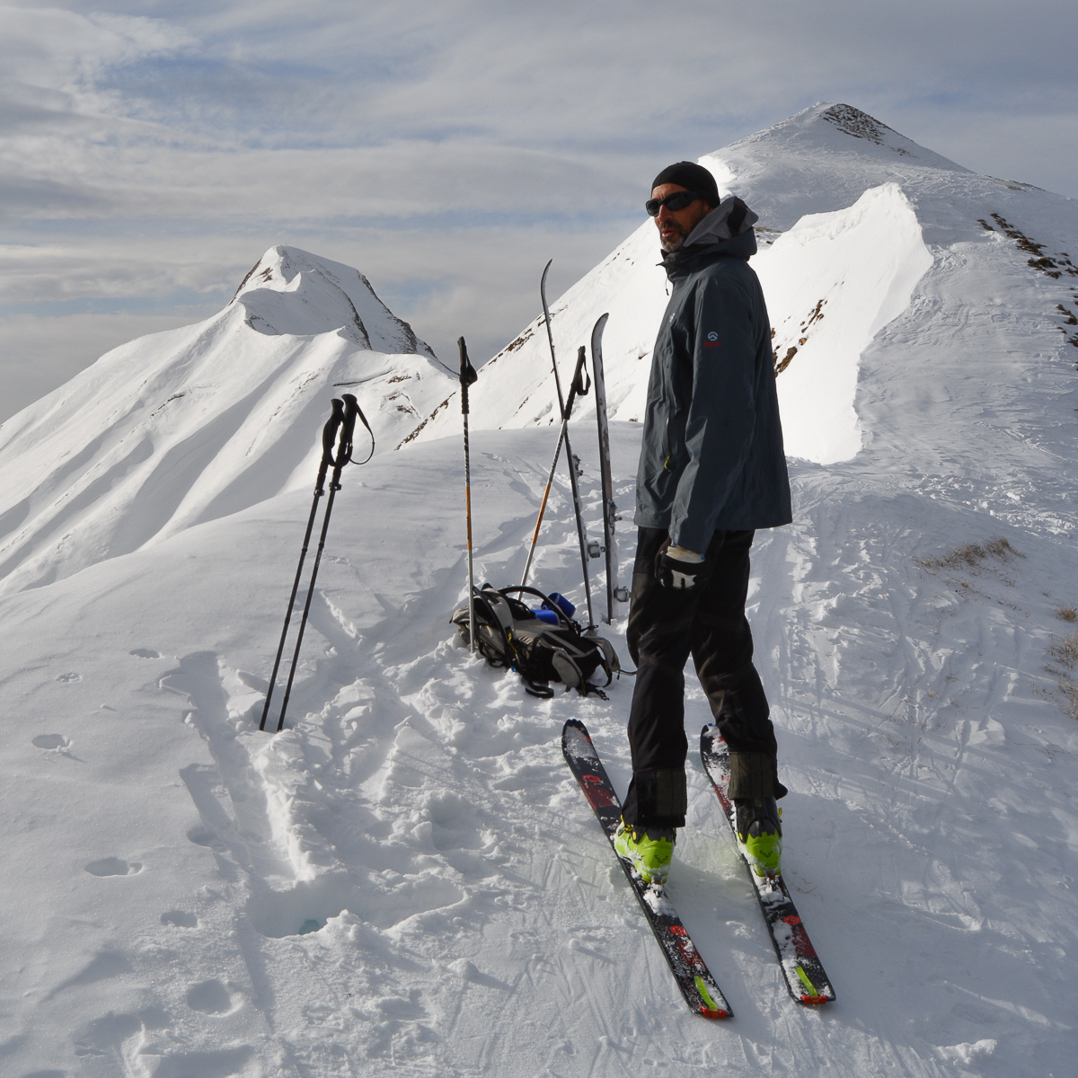
A not-so-wide ridge leads west to a small summit that can be reached with a little more time. Nice view over the valley to the south.


Leave a Reply