


TOPO Ski Touring | CLIMBING7.COM
Publié le
 Partager sur WhatsApp
 Partager sur Twitter
Partager sur Instagram
Partager sur Twitter
Partager sur Instagram

 Partager sur Facebook
 Imprimer le topo
 Laisser un commentaire
The ascent of Montardo in the heart of the Aigüestortes National Park offers a beautiful route and spectacular views of some of the many high altitude lakes scattered between the peaks. It's a great race, with distance and elevation gain on the agenda, but with a varied route that's not too technically demanding. Even if the snow doesn't fall below 2000m, we find what we need above that, with incredible weather to make the most of the day. A ski touring outing to remember in the Aigüestortes park.
❱❱ Technical summary
Type ✦ Ski touring
Location ✦ Pont de Ressec, Arties
Region ✦ Aigüestortes National Park, Catalunya
Country ✦ Spain
Orientation ✦ South / Southeast
Max altitude ✦ 2833m
Ascent length ✦ 9km
Vertical drop ✦ 1470m
Difficulty ✦ R-2.3-E1
Max gradient ✦ 35° / 37° over 50m from summit
Duration ✦ 5h to 6h
Interest ✦ ★★★
❱❱ Access to the place
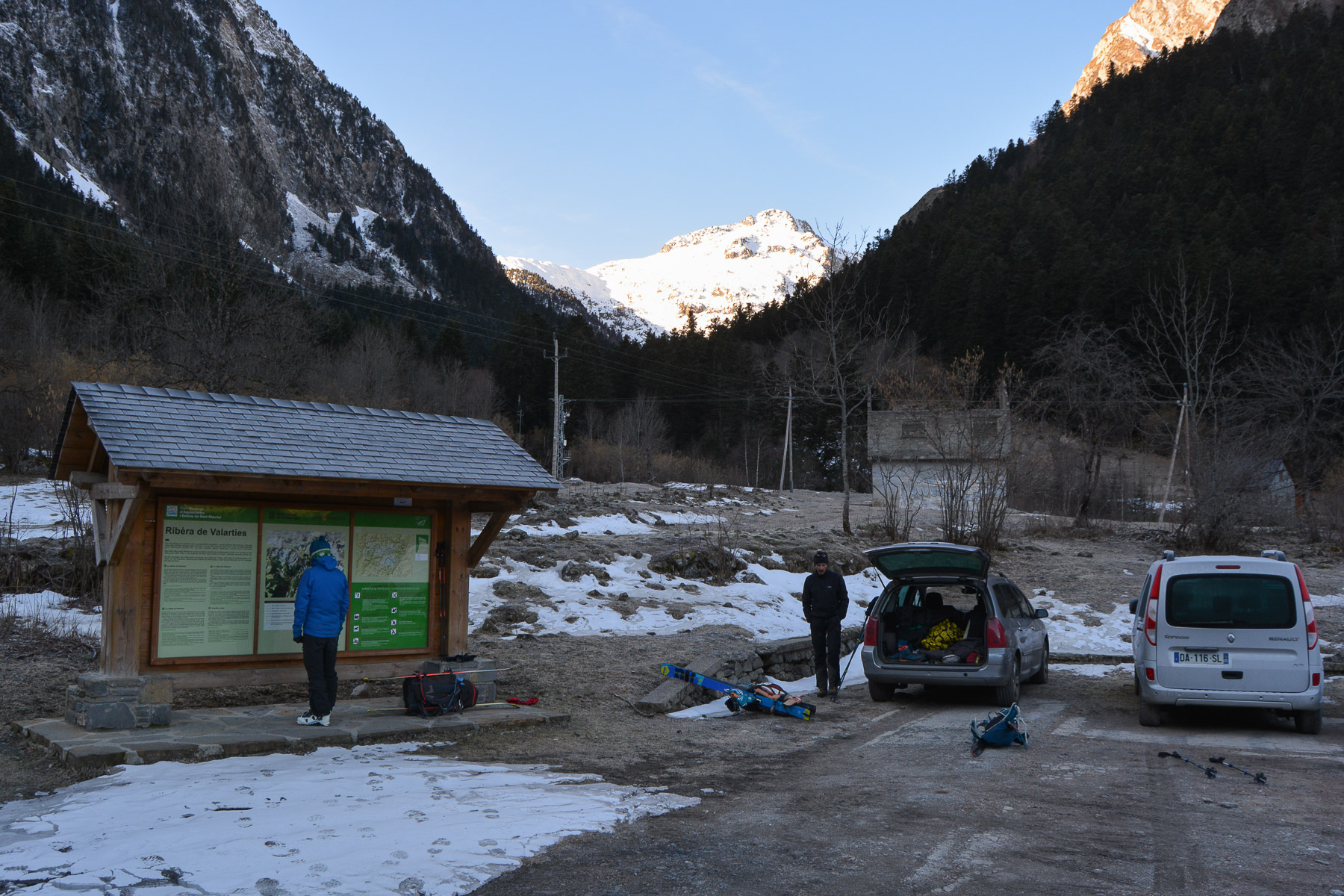
On the C13, between Vielha and Salardu, in the Val d'Aran, go to the village of Arties. Cross the village and follow a small road due south towards the Restanca refuge. The road soon becomes in poor condition and plunges into a deep valley. At the very end, there's a parking lot at the Pont de Ressec. There are signs with information on the park and the main routes.
❱❱ Map & topo
❱❱ Itinéraire
To the Restanca refuge
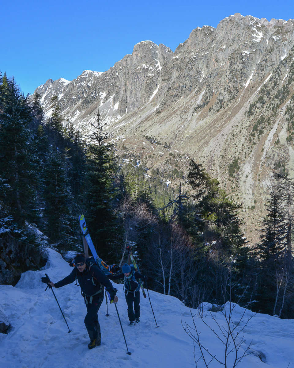
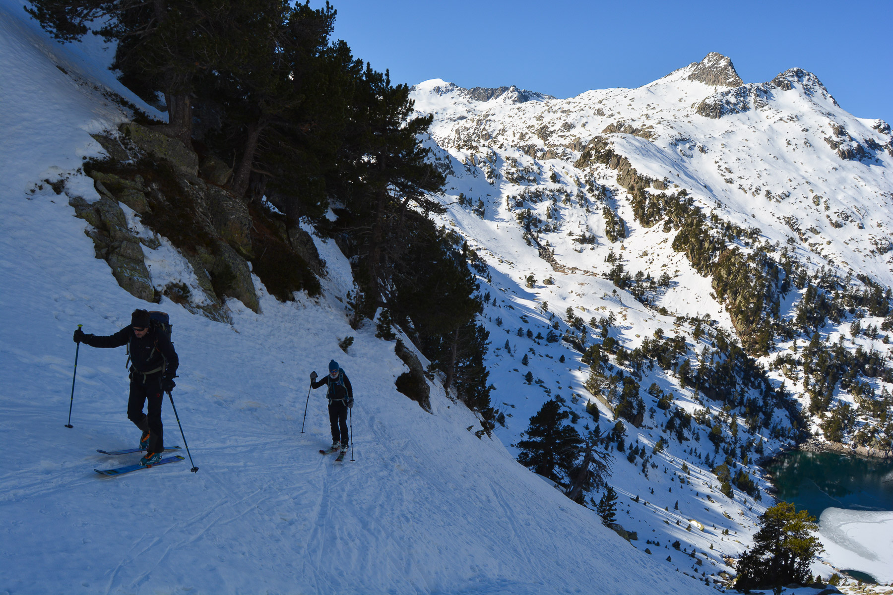
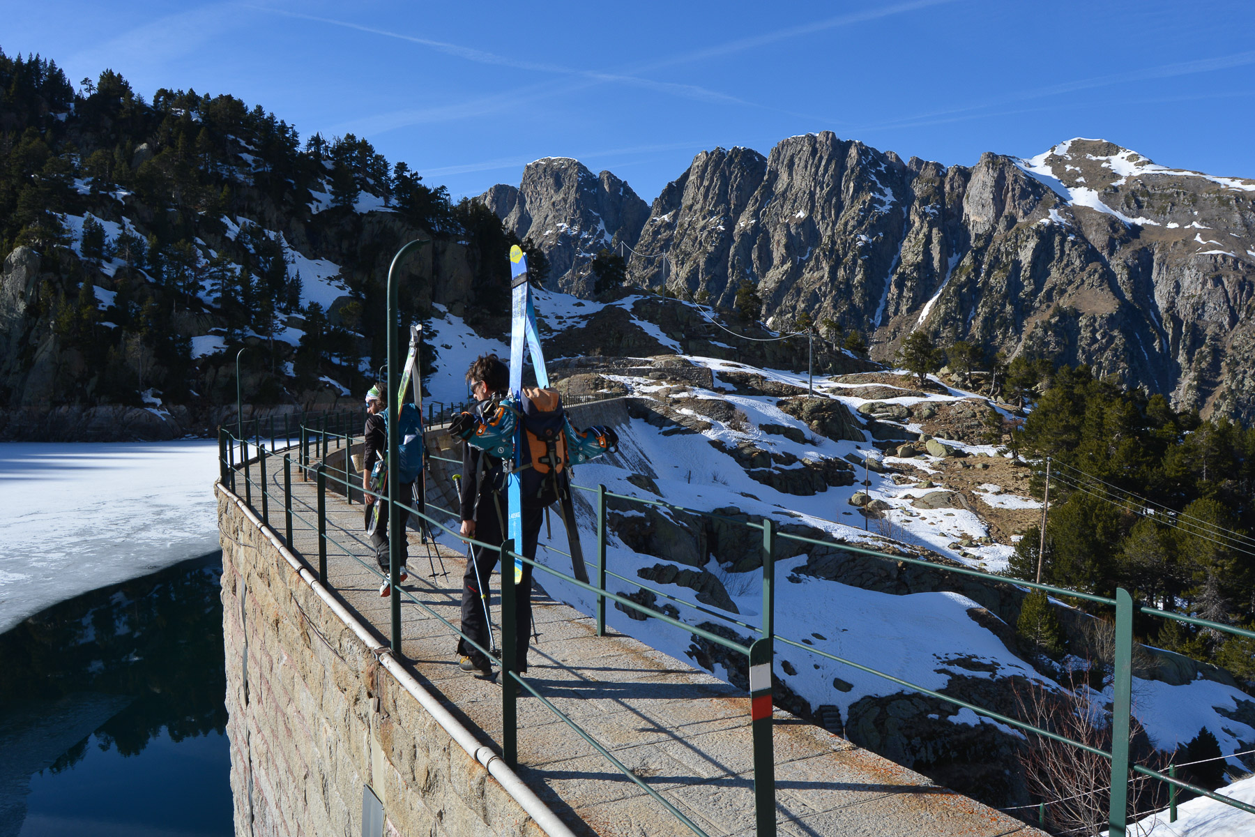
Continue along the valley floor piste, on skis or on foot depending on snow conditions. After about 45 minutes, there's a small house and a path leading up to the Restanca refuge (signposted). It climbs steeply through the forest. No problem on foot, probably with a lot of snow on skis. Higher up, the terrain is less inclined and you end up between fir trees to emerge below the dam at Lac de la Restanca. Cross the dam on the GR11 just joined to the refuge at 2010m.
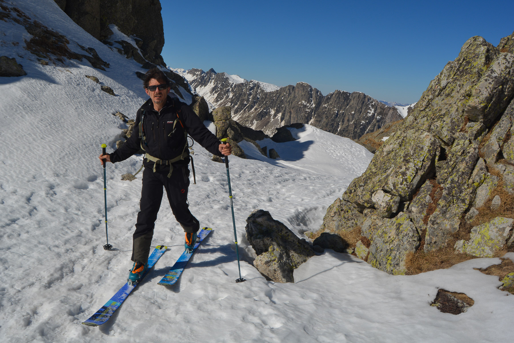
A very nice route on the way up, with no major difficulties but some distance and elevation gain. Standard equipment required.
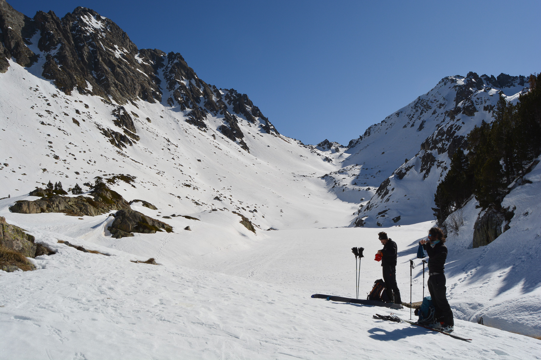
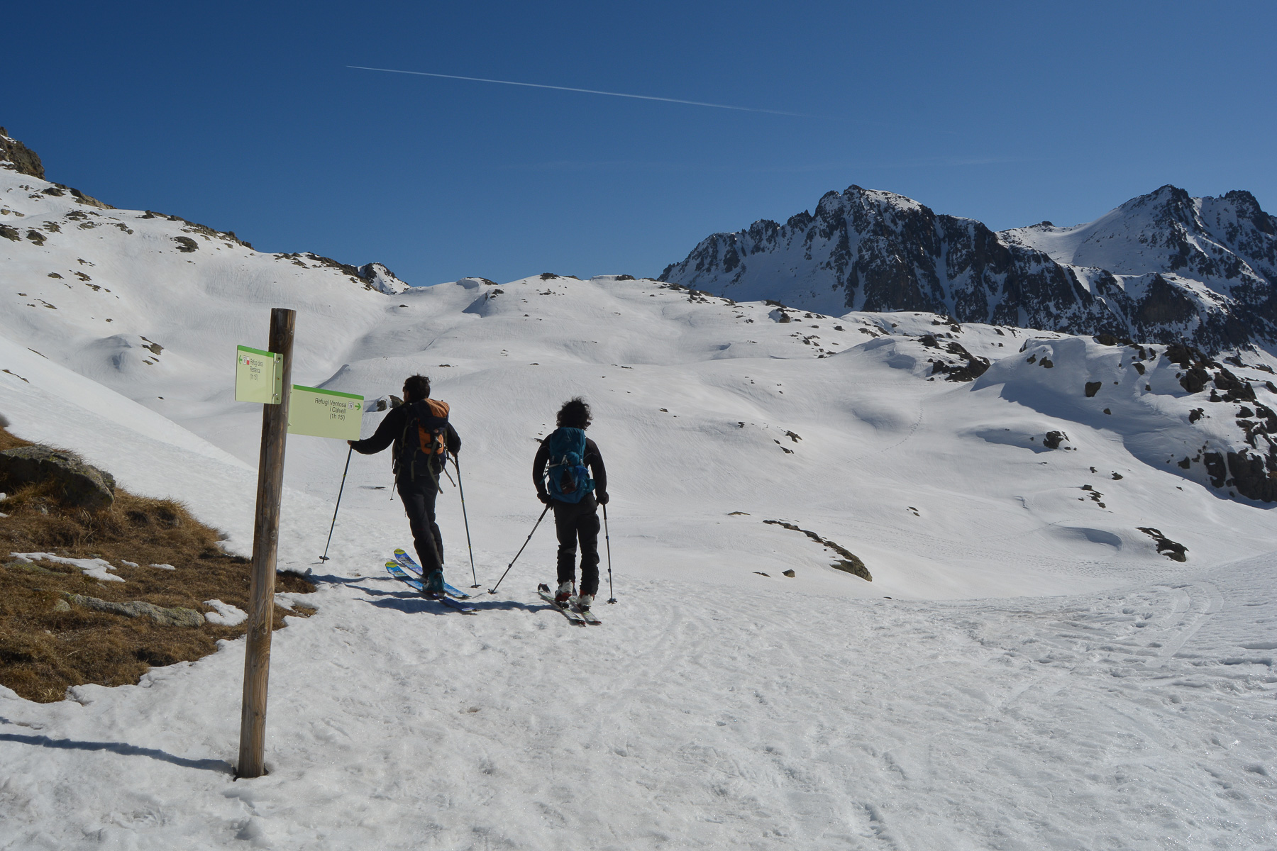
Continue south past the refuge, crossing small streams to reach the foot of a valley that ends in a couloir above. Climb an increasingly steep slope to emerge high above Lac Deth Cap Deth Port, in a splendid high-altitude valley that runs south-east towards the Col d'Oehlacrestada.
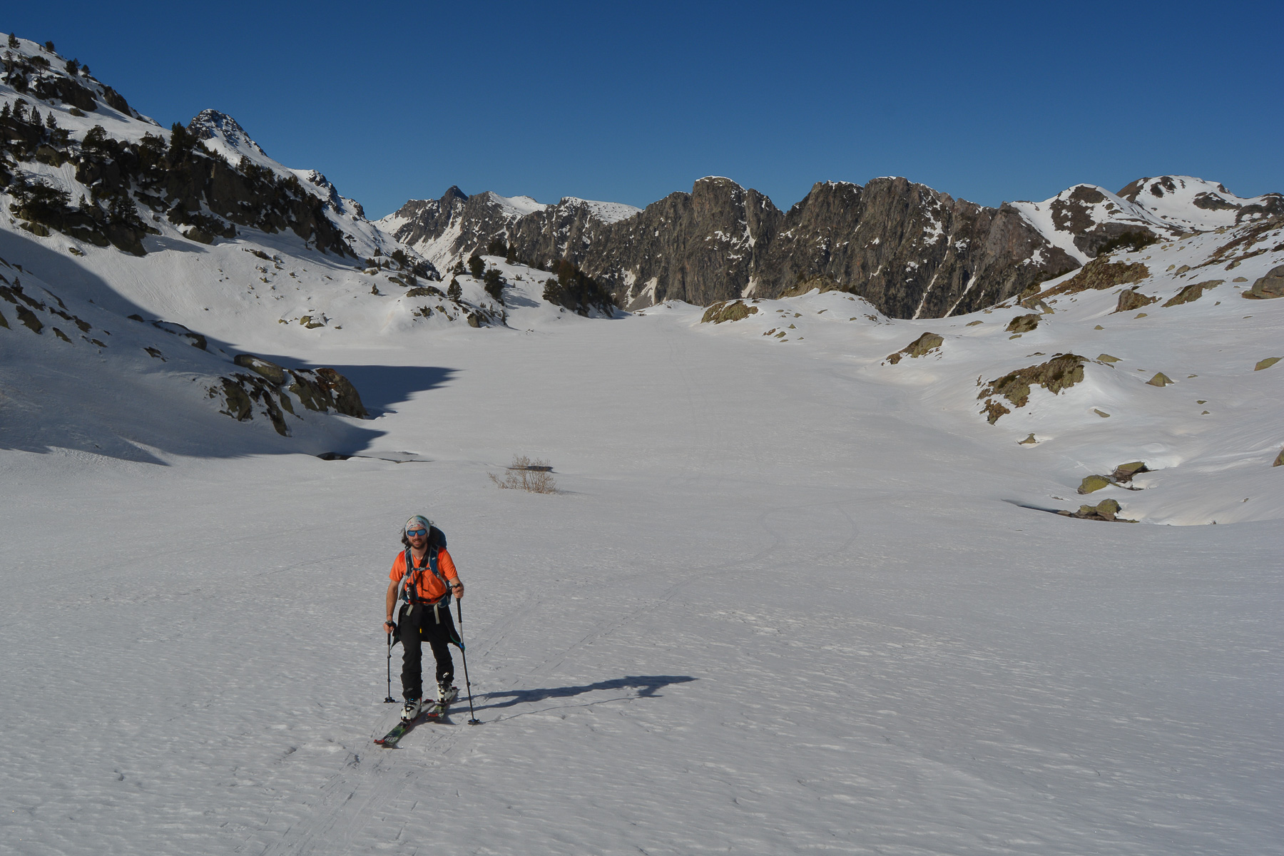
Cross over the lake or beside it, then climb steadily up the valley, which narrows further up. You end up in a narrow corridor between the rocks to the pass. View of Estany de les Monges to the south.
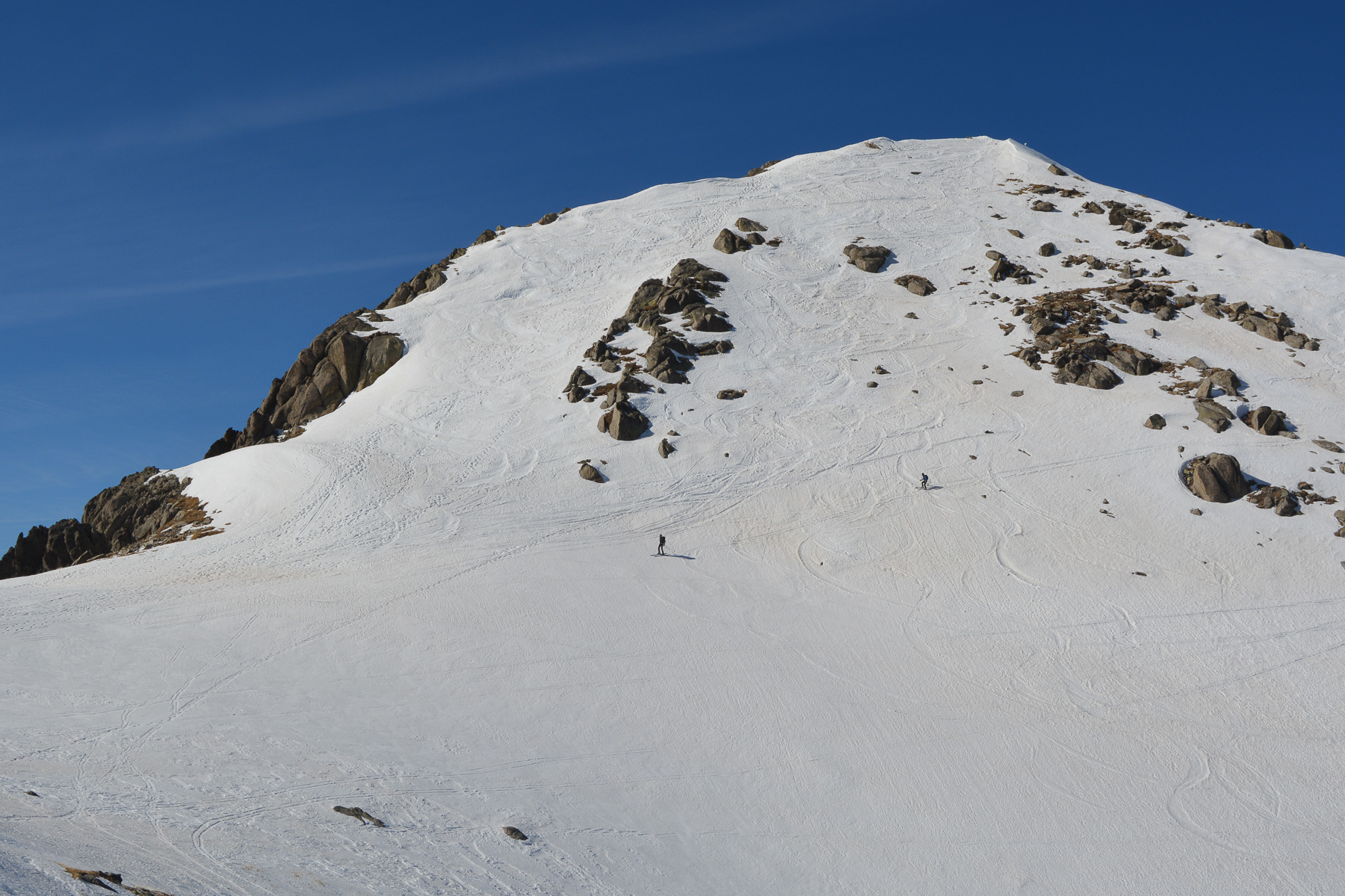
From the col, cross due east, staying as high as possible to reach the valley that climbs to the Col de Montardo. This time, head north on a south-facing slope with the Estany de les Monges at your back. The route climbs in successive steps, ending under a rocky bar and leading out onto a ridge that shifts the view to the north.
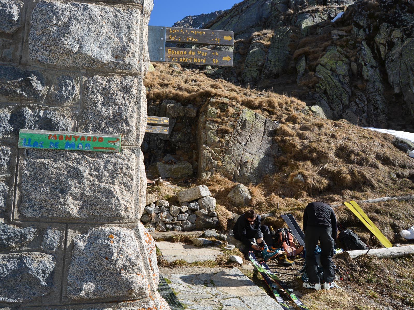
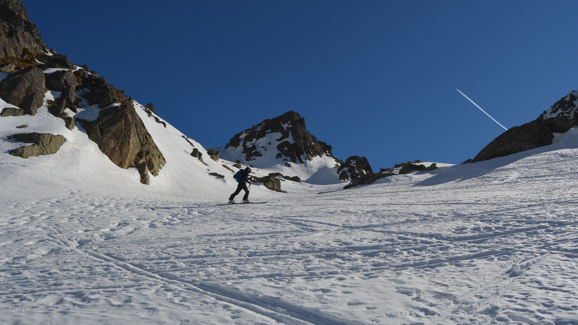
Follow the ridge westwards on a false flat to reach the Col de Montardo, just below the summit. A further 80m of steep ascent leads to the Montardo summit at 2833m. Magnificent 360° views.
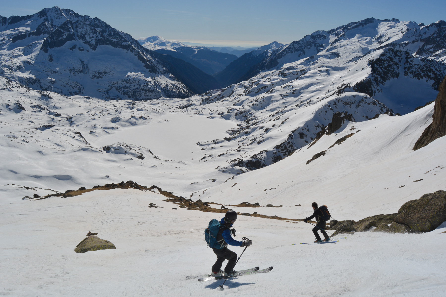
The descent follows the same itinerary as the ascent. Steep start, perhaps more than 35° from the summit for a short section to the ridge below the Col de Montardo. Switch to the south side for a beautiful slope to ski with an exceptional panorama in front of your eyes.
Don't drop too low to cross over and return to the Col d'Oehlacrestada. The slopes back to Lac Deth Cap Deth Port are gentler, but you can choose to ski on the north or south side, depending on the snow conditions.
We push a little on the poles to be able to v-tilt into the narrow valley above Lac de la Restanca. A few more steep sections at the start, then a gentler climb back to the Restanca refuge.
From the refuge, the descent into the forest on foot takes about 45′. With plenty of snow, it could be skied down, but the density of trees and the slope make this difficult. Then, once on the valley floor trail, count on another 30′ to 45′ of walking to get back to the parking lot. With snow, this part would slide down in probably less than 10′.


Leave a Reply