


TOPO Hiking | CLIMBING7.COM
Publié le
 Partager sur WhatsApp
 Partager sur Twitter
Partager sur Instagram
Partager sur Twitter
Partager sur Instagram

 Partager sur Facebook
 Imprimer le topo
 Laisser un commentaire
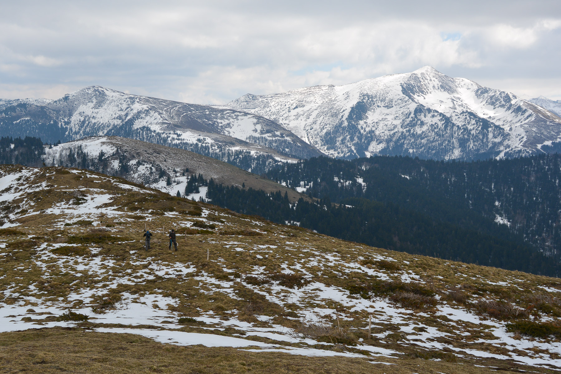
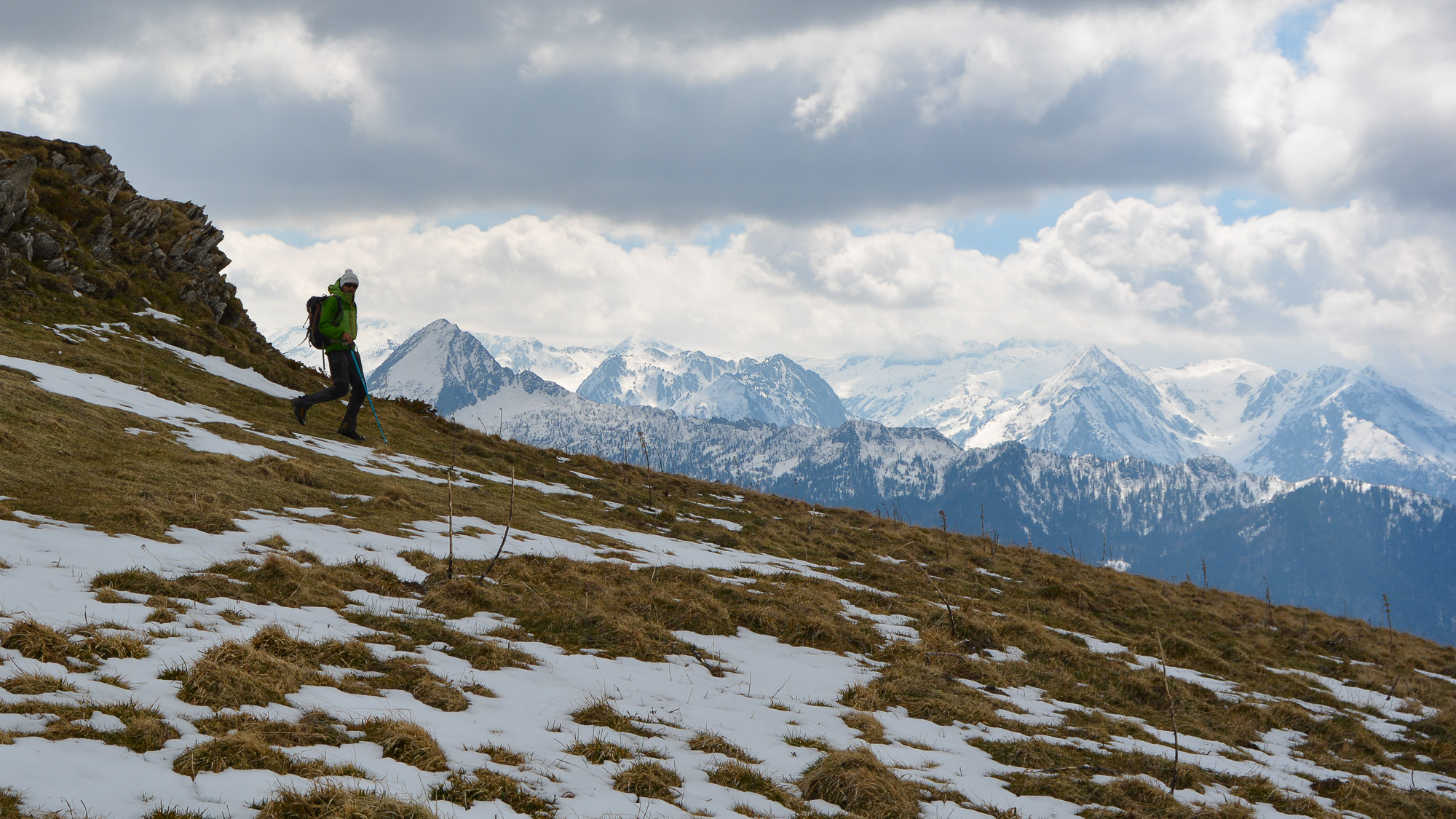
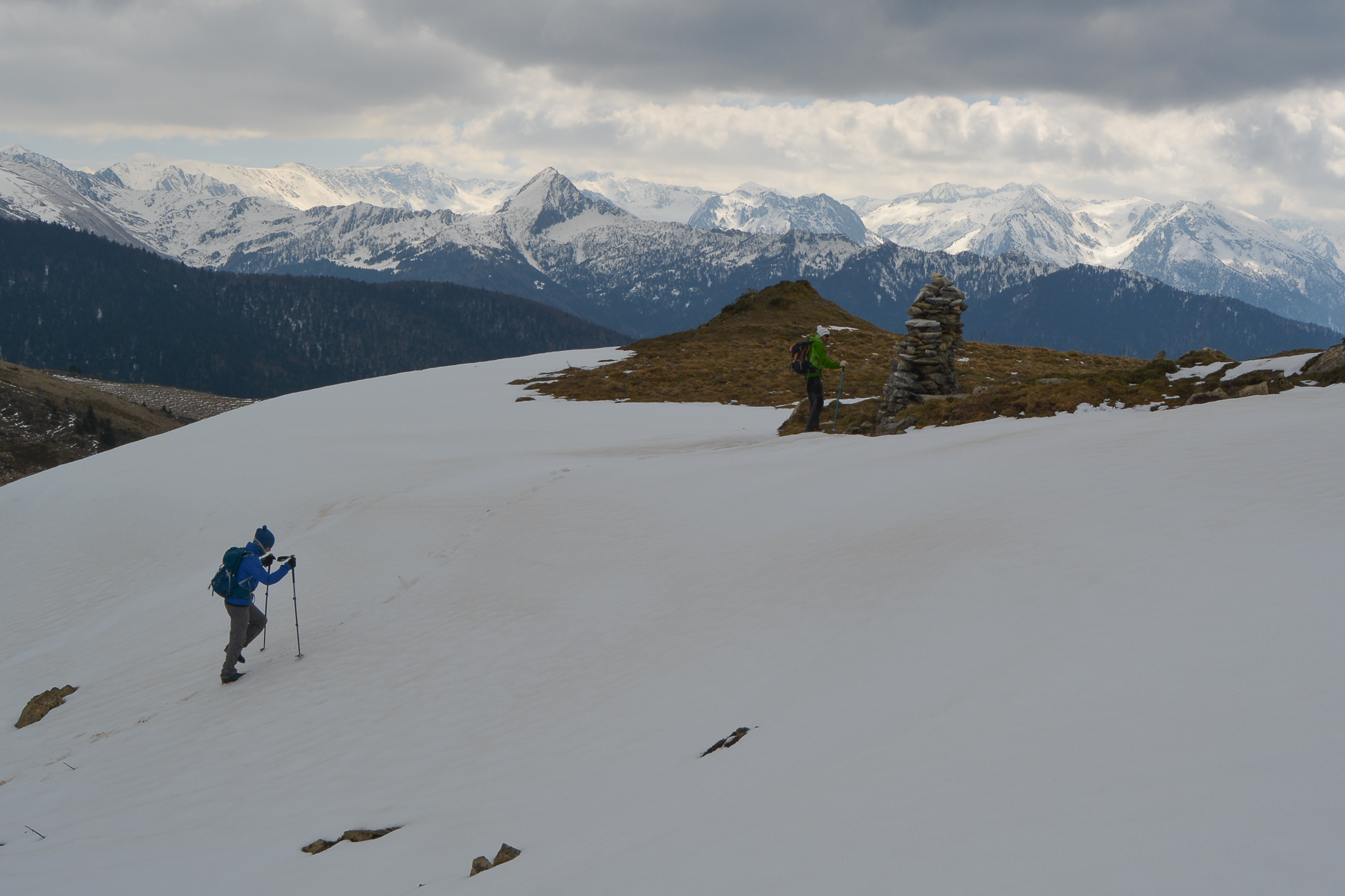
High above the Ax valley in Haute-Ariège, on the border with Aude, the ridge route from Pic de Serrembarre to Pic de Cassoula offers spectacular panoramic views of Tarbésou, the Dent d'Orlu - Ariège's Matterhorn (!) - and the snow-capped peaks of the Ariège Pyrenees as far as Andorra. A fairly demanding loop, with a long distance and a vertical drop of almost 1000m.
❱❱ Technical summary
Type ✦ Hiking
Location ✦ Goulours, Ascou
Region ✦ Ariège
Country ✦ France
Max altitude ✦ 1850m
Distance ✦ 17 kms
Dénivelé ✦ 950m
Duration ✦ 5h to 6h
Interest ✦ ★★
❱❱ Access to the place
Up the Ax-les-Thermes valley. Climb above Ax to Ascou and the Col de Pailhères. Pass under the village of Ascou and reach the village of Goulours and its lake. Park here or at La Forge or Lavail a little further on.
❱❱ Map & topo
❱❱ Itinéraire
If you have parked in Goulours, walk across the riu Caud to the easternmost shores of Lac de Goulours at the entrance to Lavail. Here begins a track that climbs the slopes to the north-east. Starting point of the loop.
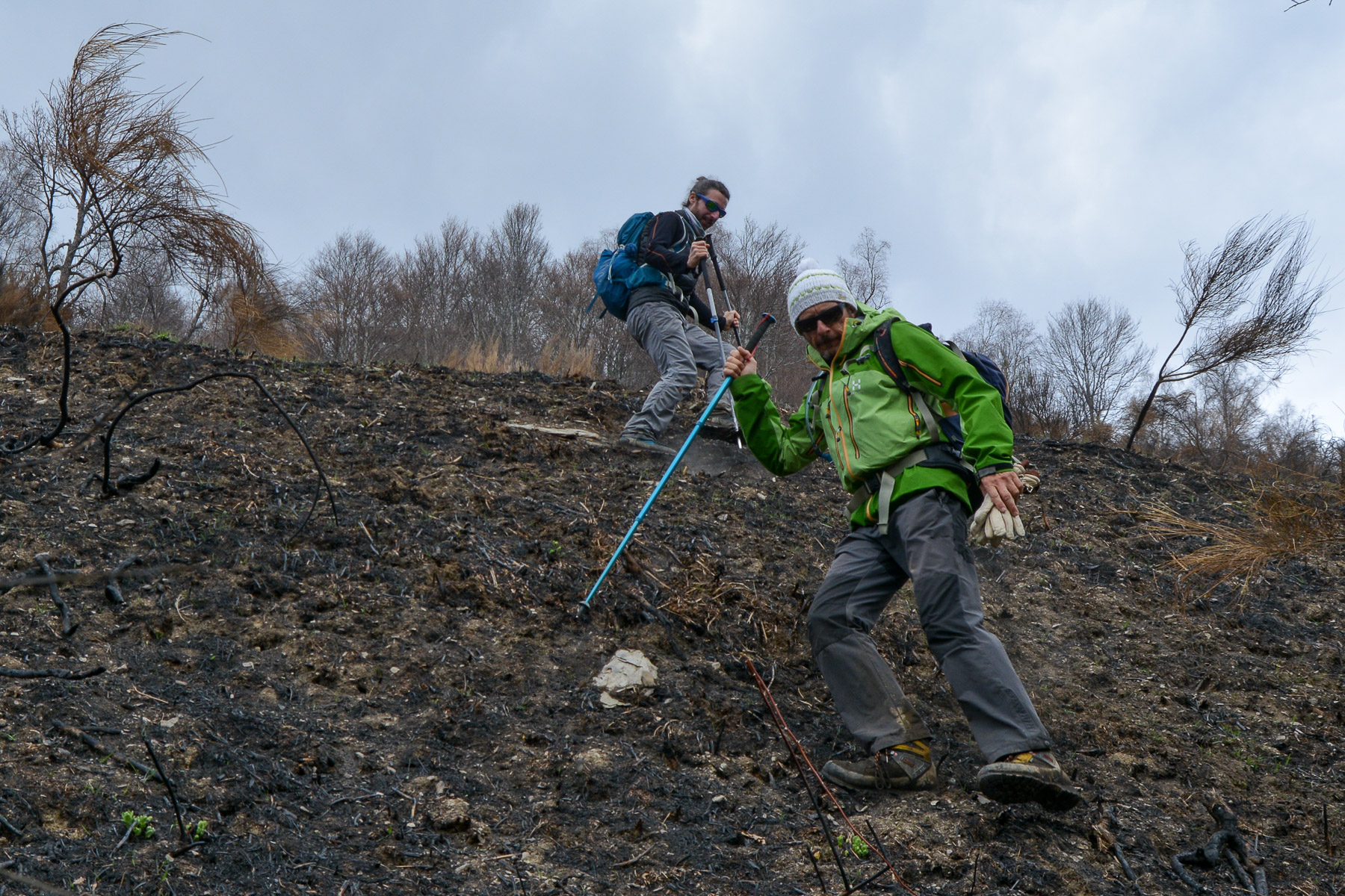
The route is almost a loop. The climb is mainly in the 1st section to reach Sarrat des Fargues and Coumail. This section can be done off-piste without too much difficulty, but in summer, the height of the ferns could make progress more difficult. The final descent from Pic de Cassoula is also off-piste. The rest of the route is fairly straightforward, as it follows the ridges over the 2 peaks that can be seen in the distance.
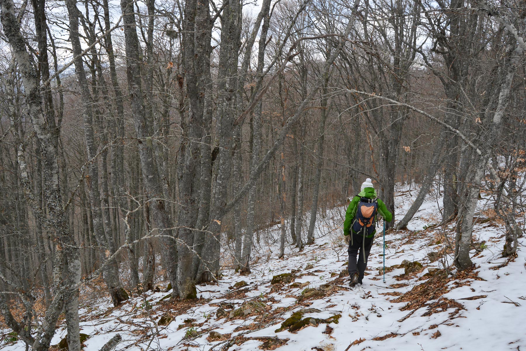
From the summit of Pic de Cassoula, head south-west, then turn north before dropping down through the woods off the path to rejoin the forest track below. Descend following the track, with a possible shortcut at the end. You rejoin the track, which you follow southwards to skirt the Riu Caud below. Once out of the valley, you find yourself above Goulours and the lake. Leave the track and cut across the fields to take the road back to the village of Goulours.


Leave a Reply