


TOPO Hiking | CLIMBING7.COM
Publié le
 Partager sur WhatsApp
 Partager sur Twitter
Partager sur Instagram
Partager sur Twitter
Partager sur Instagram

 Partager sur Facebook
 Imprimer le topo
 Laisser un commentaire

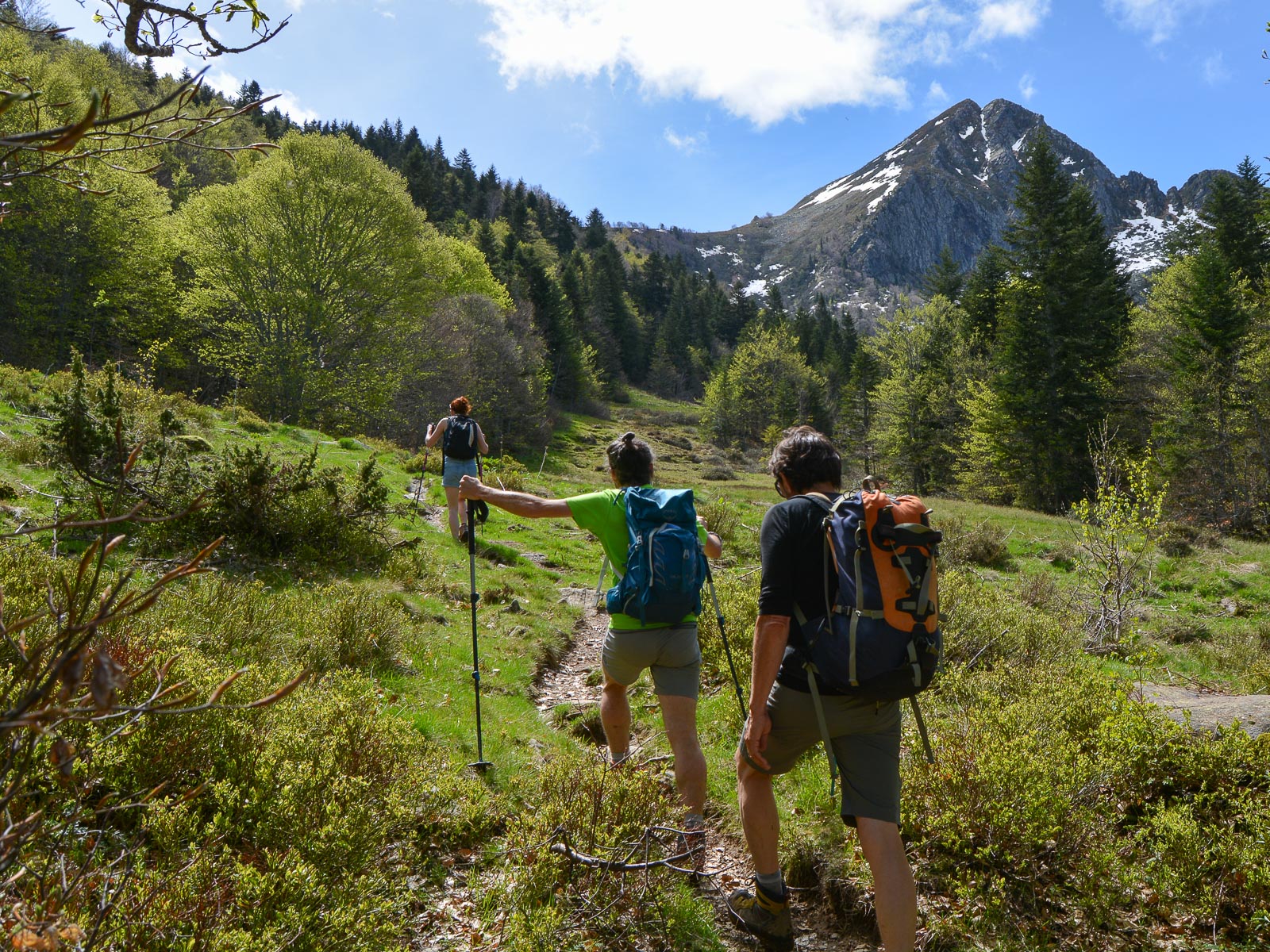
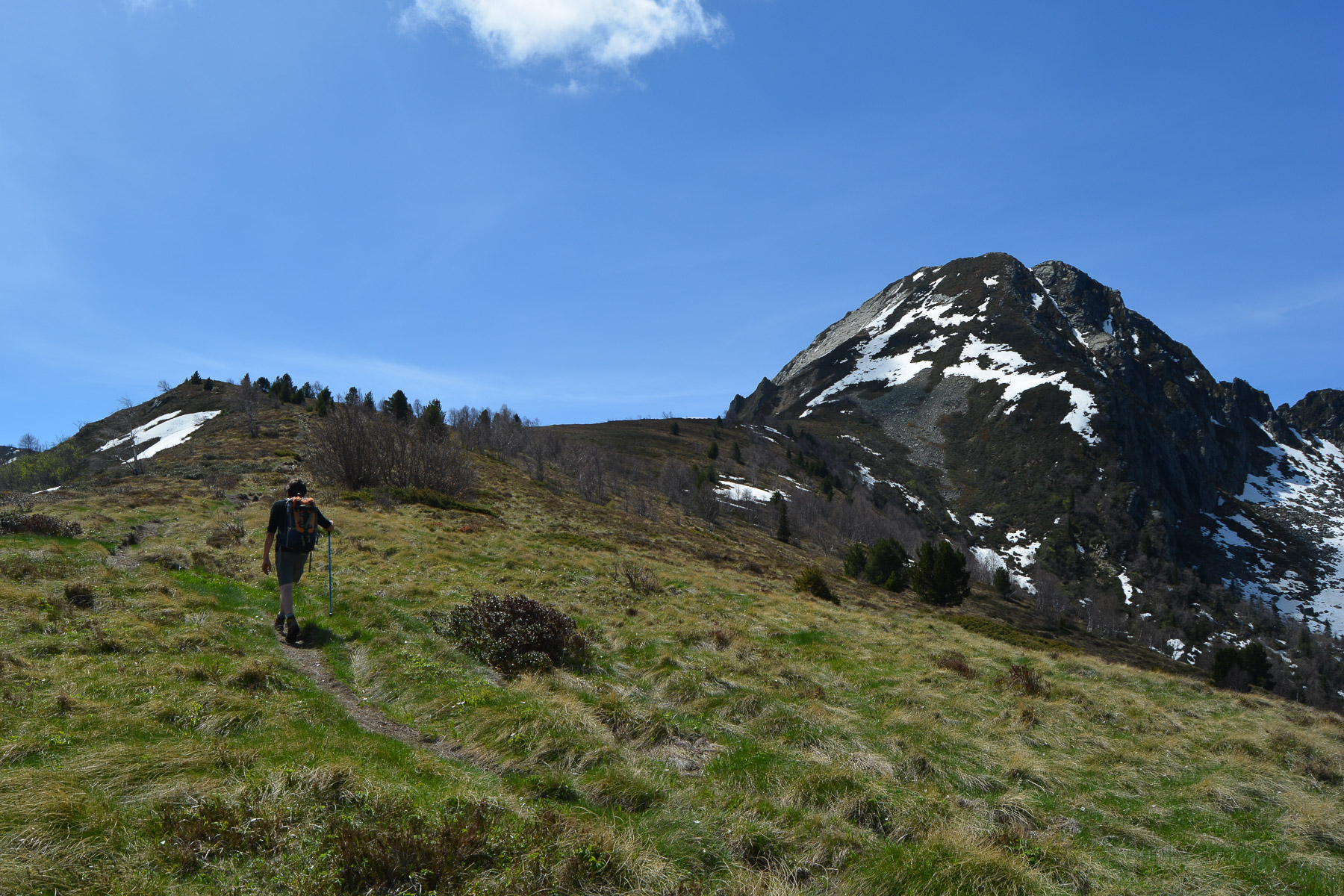
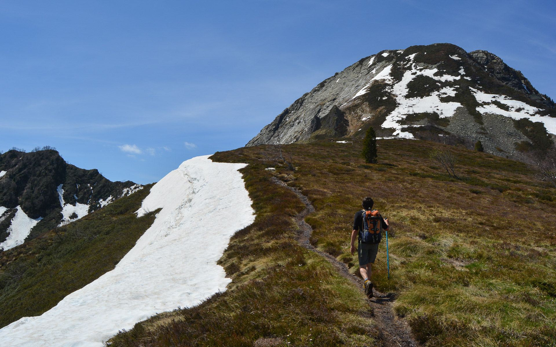
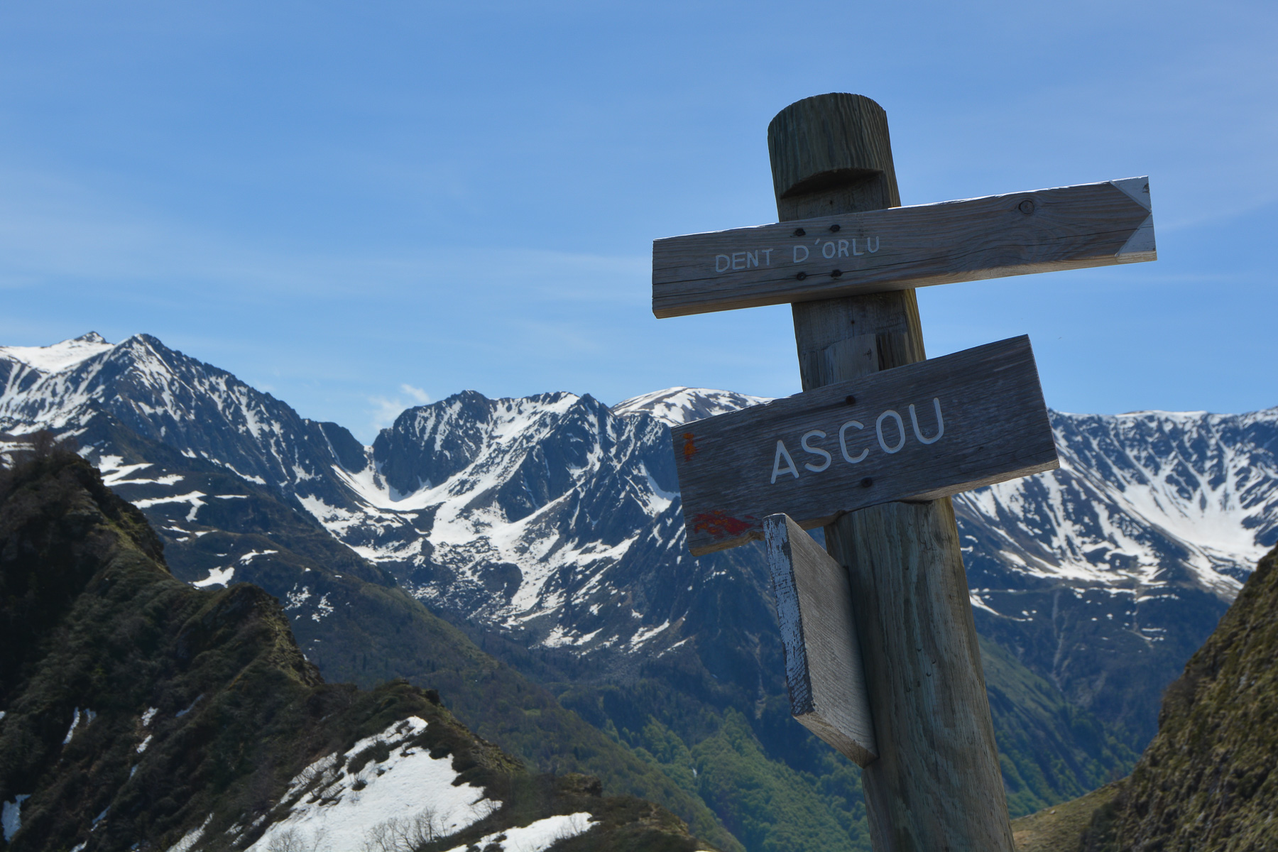
Starting from the Lac de Goulours, the ascent of the Dent d'Orlu or Pic de Brasseil on its north face, well known to climbers for its south face, offers a spectacular aerial view of the peaks of the Haute-Ariège. The final route is very steep to reach the summit ridge overlooking the Orlu valley. To avoid a round trip, a loop can be made on the way back, joining the Coume Grande and returning on the D25 down to Goulours, along the stream.
❱❱ Technical summary
Type ✦ Hiking
Location ✦ Goulours
Region ✦ Ariège
Country ✦ France
Direction ✦ Nord
Max altitude ✦ 2222m
Length of ascent ✦ 18,6km
Dénivelé ✦ 1170m
Difficulty ✦ AD
Duration ✦ 6h to 7h
Interest ✦ ★★
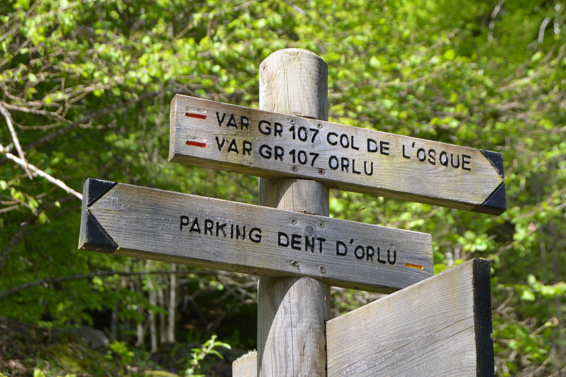
❱❱ Access to the place
From Ax-les-Thermes, climb towards Ascou and the Col de Pailhères. Pass under Ascou and continue to Lac de Goulours. Drive along it, through the village of Goulours and on to the entrance to Lavail. Park here, near the Ascou forge (campsite). If you have 2 vehicles, leave the second vehicle beforehand on the D25 towards the Ascou-Pailhères pass at the Coume Grande exit (parking lot, sled dog house).
❱❱ Map & topo
❱❱ Itinéraire
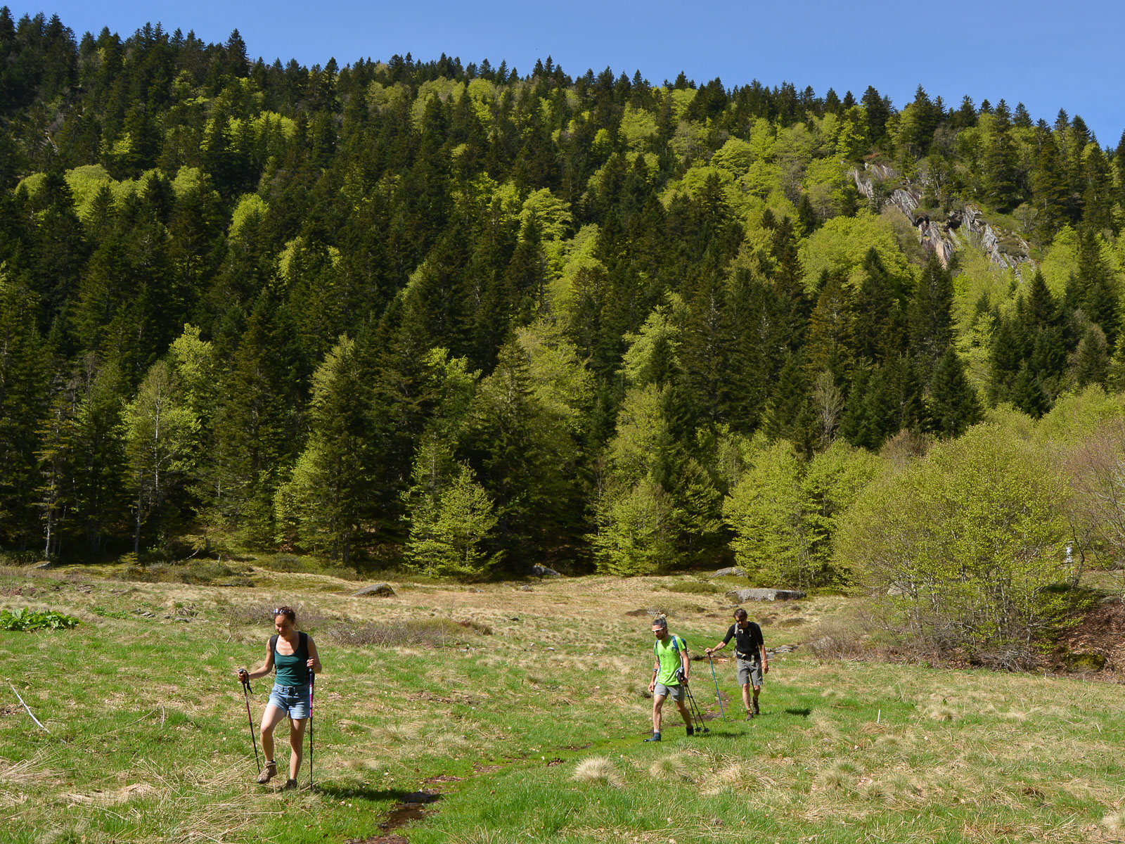
This approach can be made by car, as the track from Lavail climbs up to the frying pan parking lot. Alternatively, you can walk back via the Coume Grande.
In this case, cross the Lauze and take the GR up into the forest (short cut) to reach the track. From here, walk eastwards for a while on the forest track. The trail climbs gently upwards, eventually revealing the Dent d'Orlu between the trees and leading to the "frying pan" parking lot, in a basin at the foot of the Dent d'Orlu on the north side.
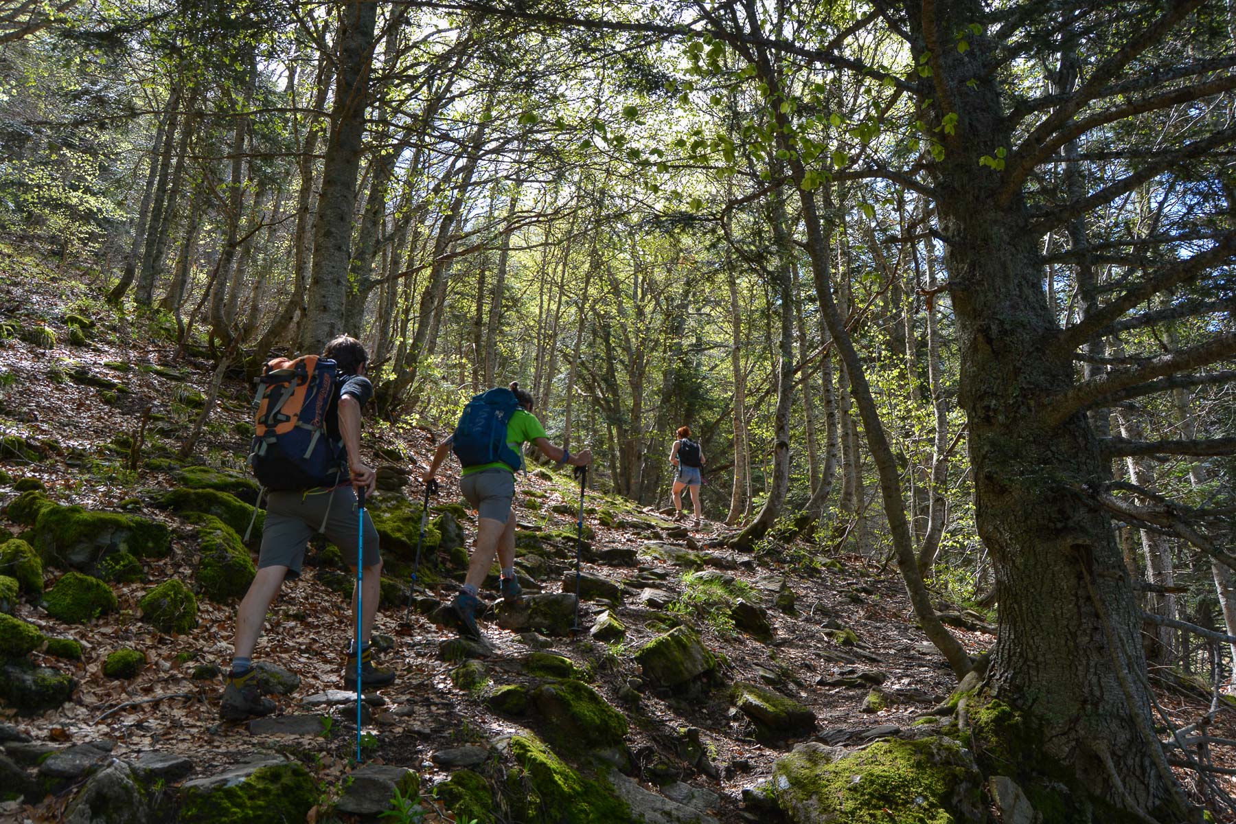
The ascent is fairly short but physical, and quite steep on the final ramp. The path is marked all the way to the top. The loop via Coume Grande requires you to cross the east combe off-piste to the huts/shelters.
If you have 2 vehicles, leave them at the exit of La Coume, where there is a large parking lot. Otherwise, it's a few kilometers of asphalt back to Lavail and La Forge d'Ascou.
Topo of Dent d'Orlu from the frying pan on Visorando


Leave a Reply