


TOPO Hiking | CLIMBING7.COM
Publié le
 Partager sur WhatsApp
 Partager sur Twitter
Partager sur Instagram
Partager sur Twitter
Partager sur Instagram

 Partager sur Facebook
 Imprimer le topo
 Laisser un commentaire

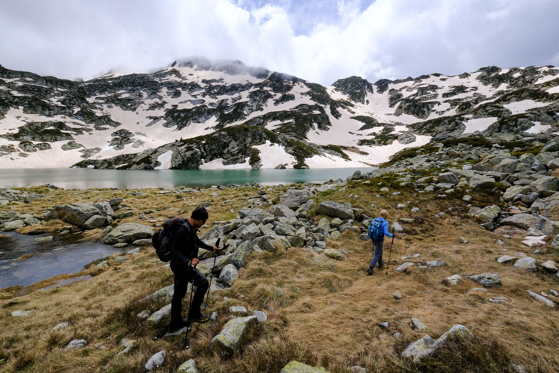
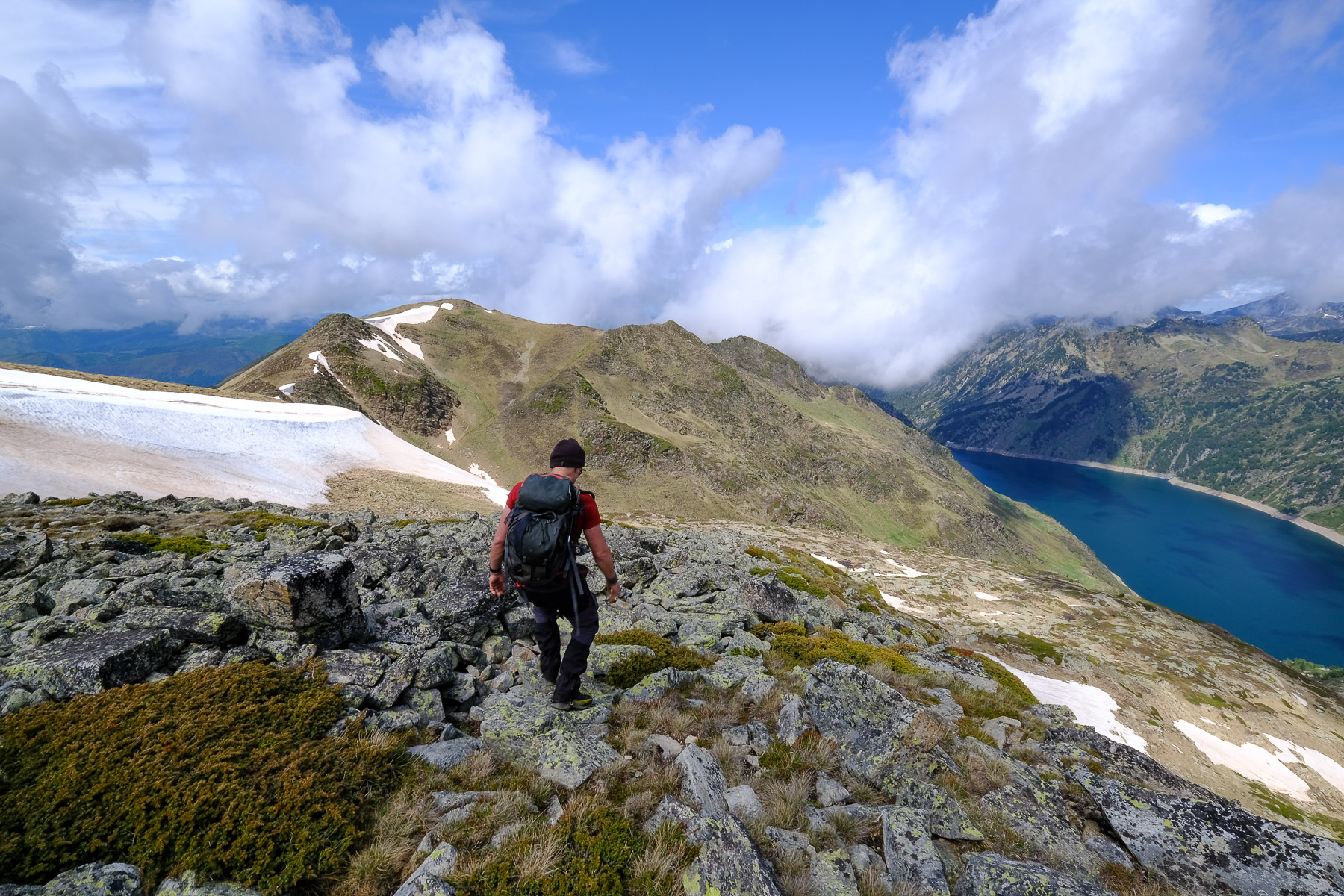
From the Forges d'Orlu, passing the imposing Etang de Naguille and, above it, Etang Déroum and Etang Tort, you reach the Pic de l'Homme, which rises timidly at the end of a long rocky ridge. Another, shorter option is to start from the Llau parking lot in the next valley, but access has been forbidden since June 2020. No regrets, though, as the ascent from the east side is spectacular. The ridge between Pic de l'Homme and Serre de Canras allows you to complete the loop before returning to Naguille via Rec de la Coume Greulière (off-trail section). The only drawback is the interminable descent through the forest to get back to the starting point.
❱❱ Technical summary
Type ✦ Alpine hiking
Location ✦ Orlu
Region ✦ Haut-Ariège
Country ✦ France
Orientation ✦ East
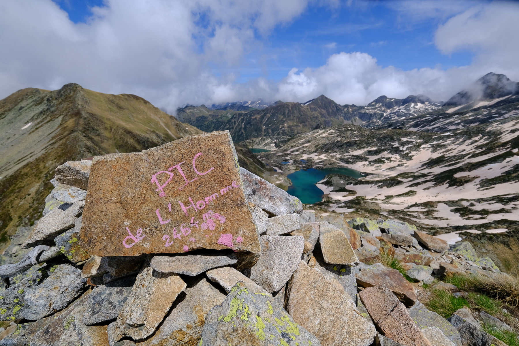
Max altitude ✦ 2486 m
Distance ✦ 17,2 km
Dénivelé ✦ 1600 m
Difficulty ✦ E4 / T3 / E3
Duration ✦ 8h to 9h
Interest ✦ ★★
❱❱ Access to the place
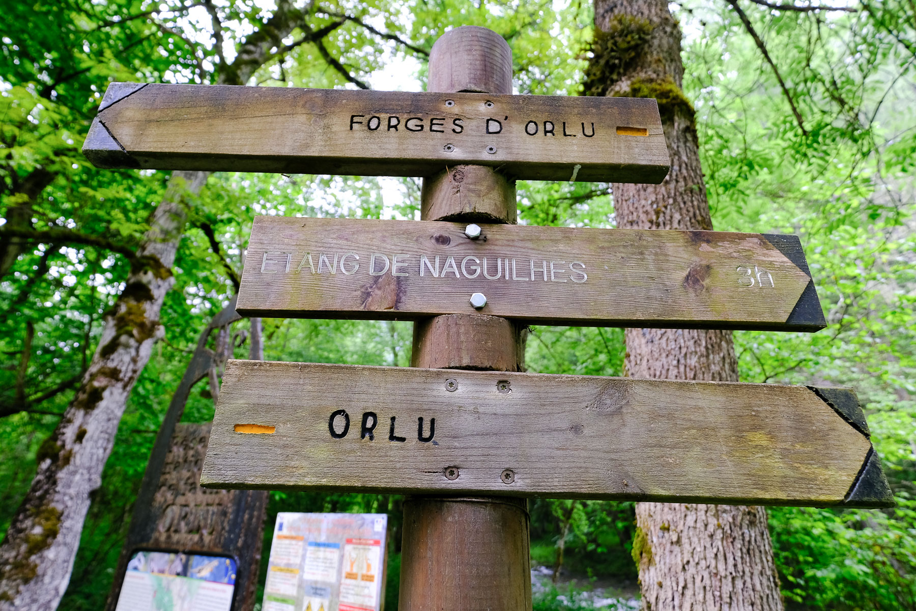
From Ax-les-Thermes, head for Mérens and Andorra. Just outside the town, turn left towards Orgeix and Orlu. Drive past Orlu and continue along the road until you reach the Forges d'Orlu parking lot on the right.
❱❱ Map & topo
The purple line indicates a possible extension (discovered too late): continue along the ridge past Le Serre de Canras and descend into the Rec de la Coume Greulière on the opposite side (visible in the last photos).
❱❱ Itinéraire
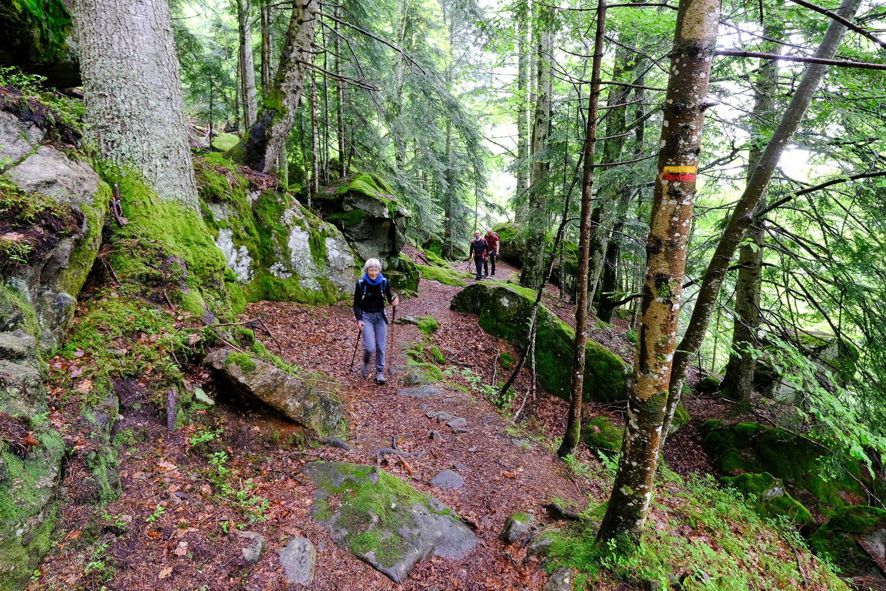
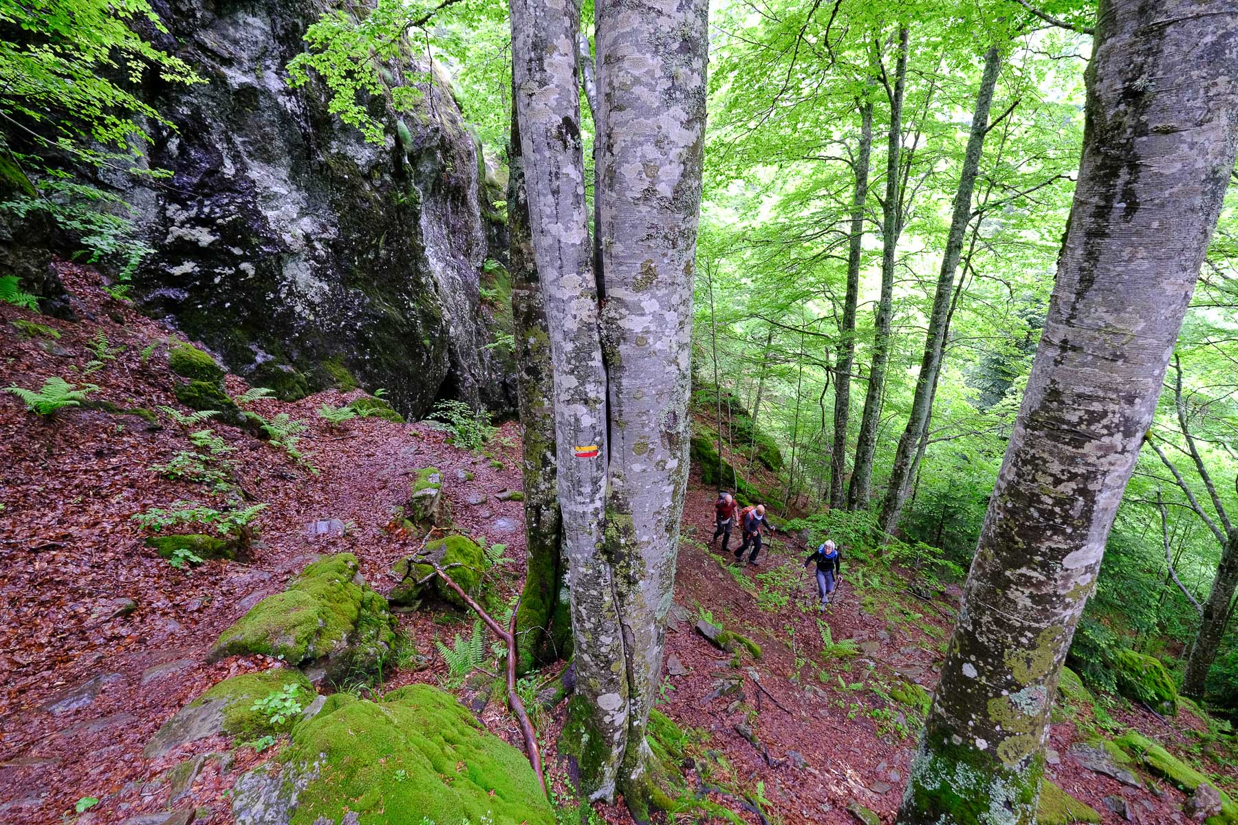
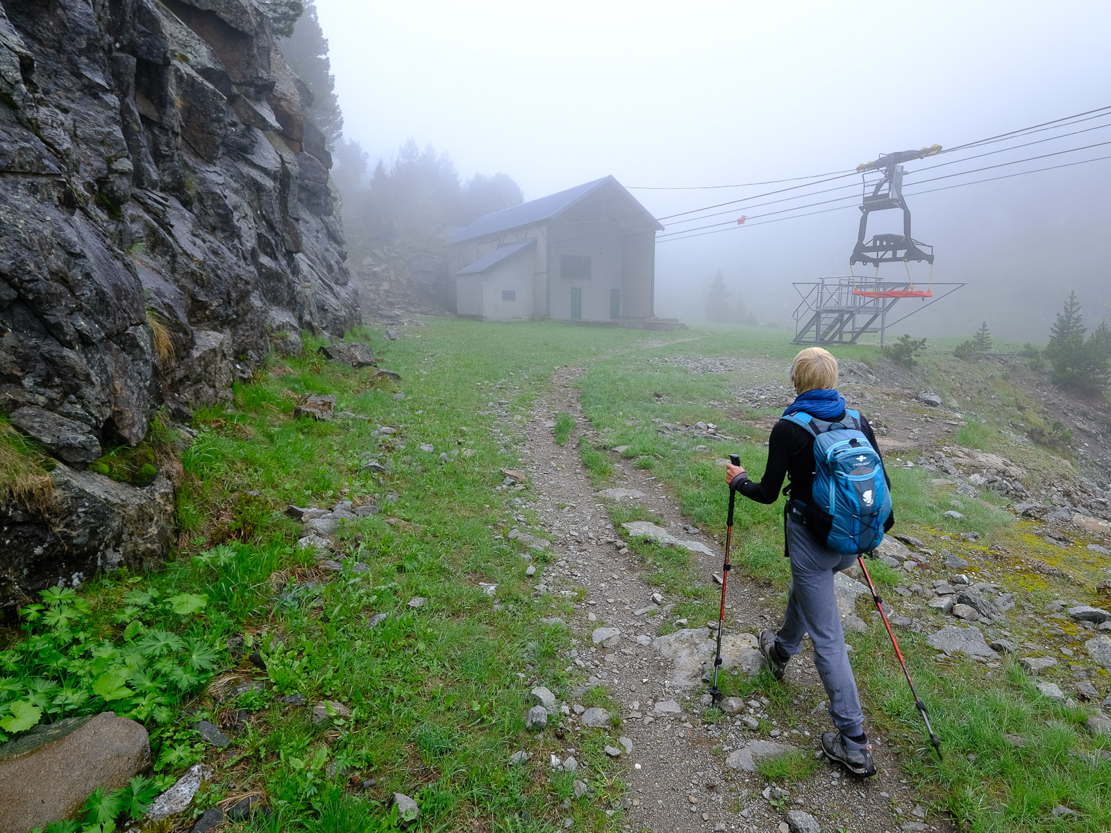
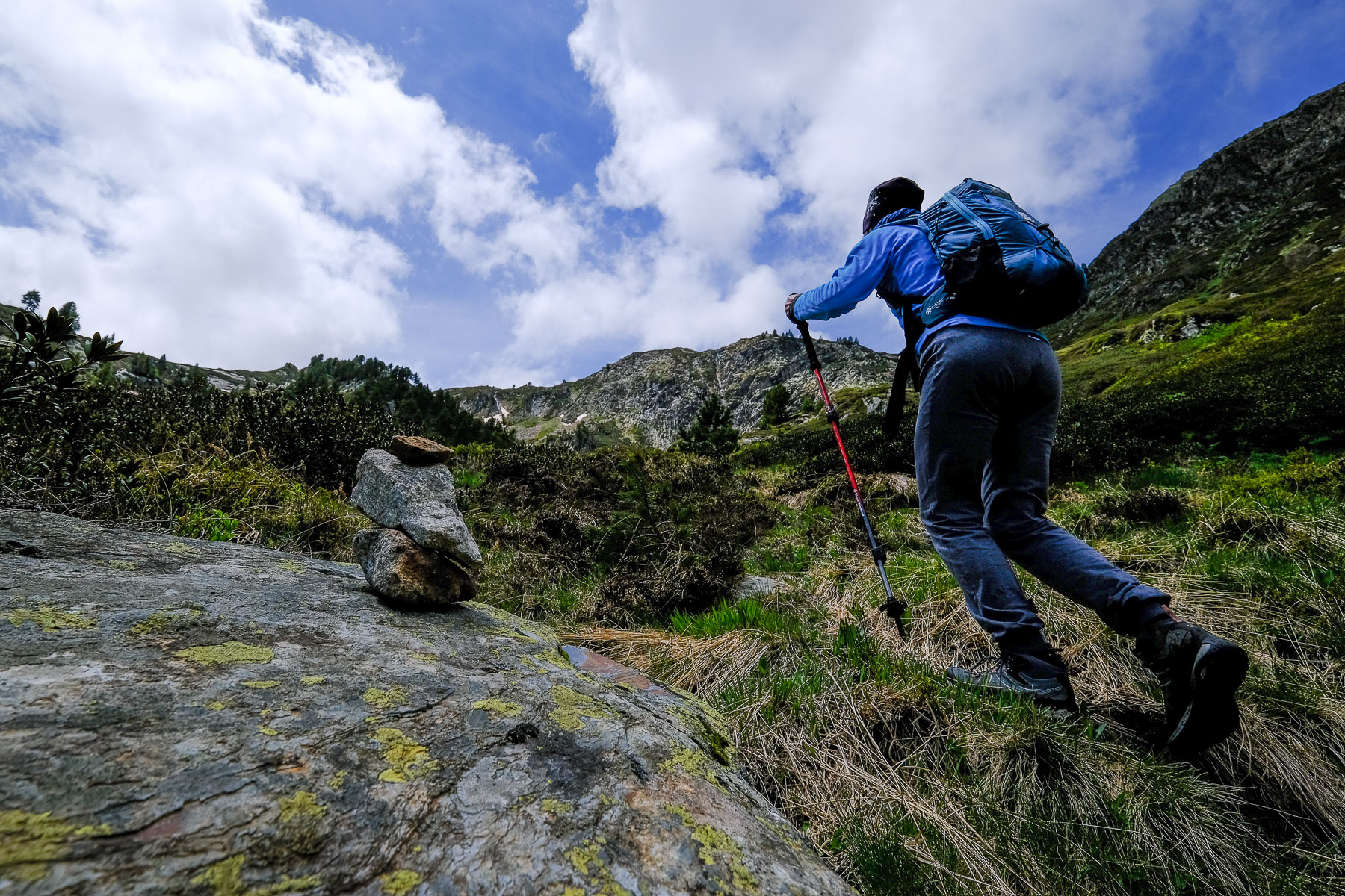
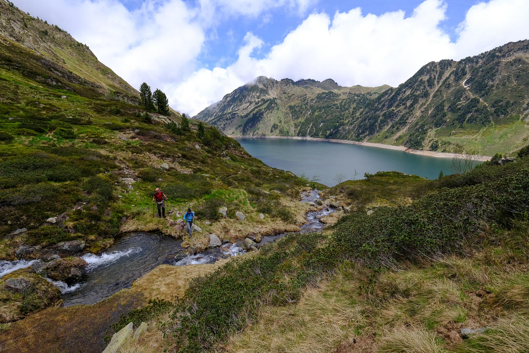
From the parking lot, cross the Oriègp and follow the yellow and red path up to Etang de Naguille. This is the start of a long, sustained climb through the forest, before emerging 1h30 later on more open, flatter ground. There's another 1 hour or so to reach the bottom of the dam and climb up the right-hand side to reach the étang de Naguille.
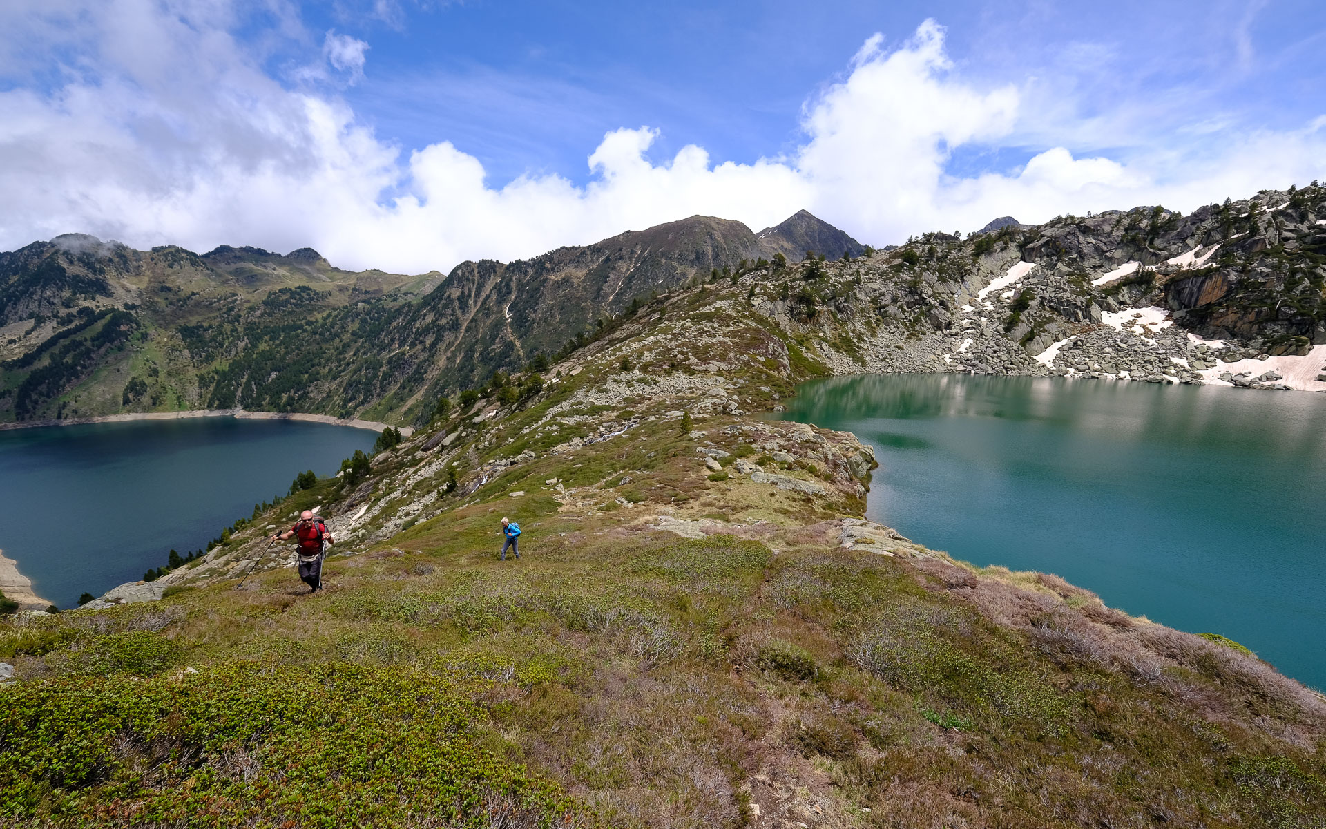
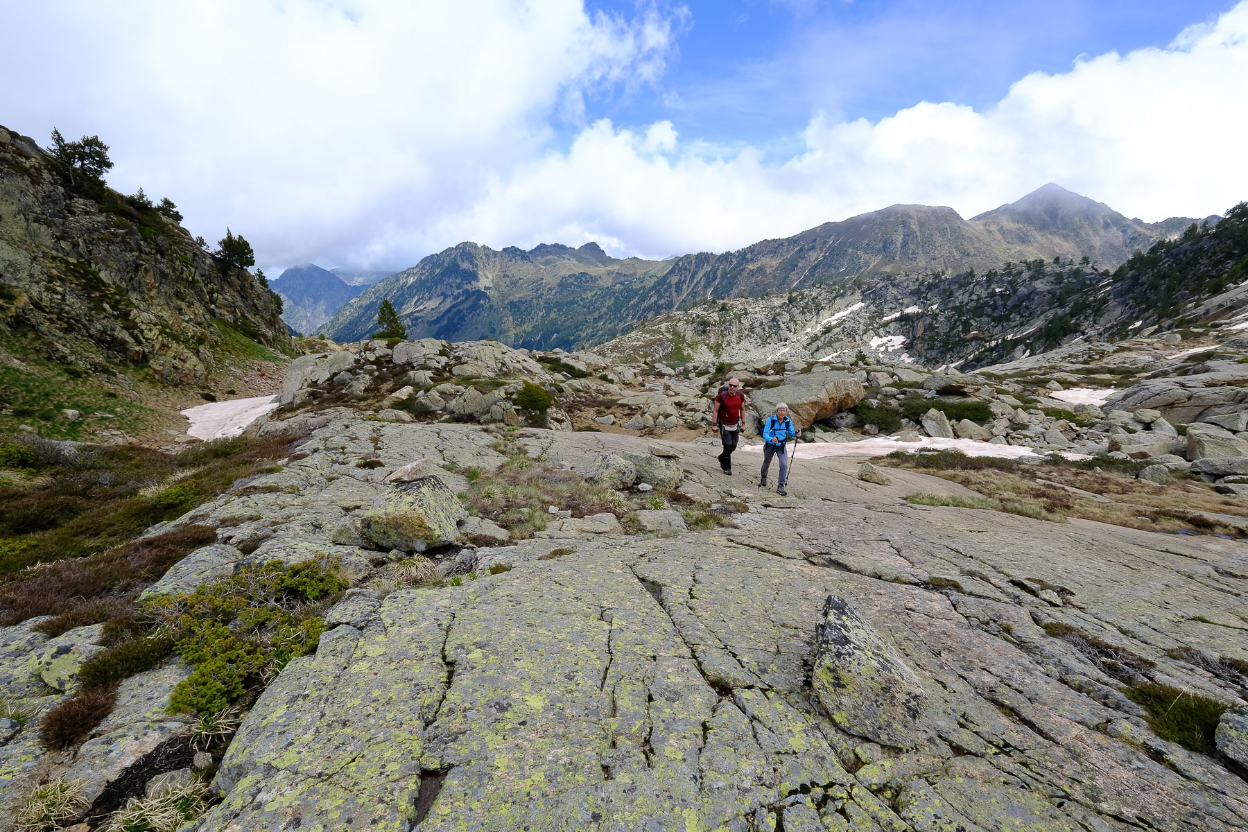
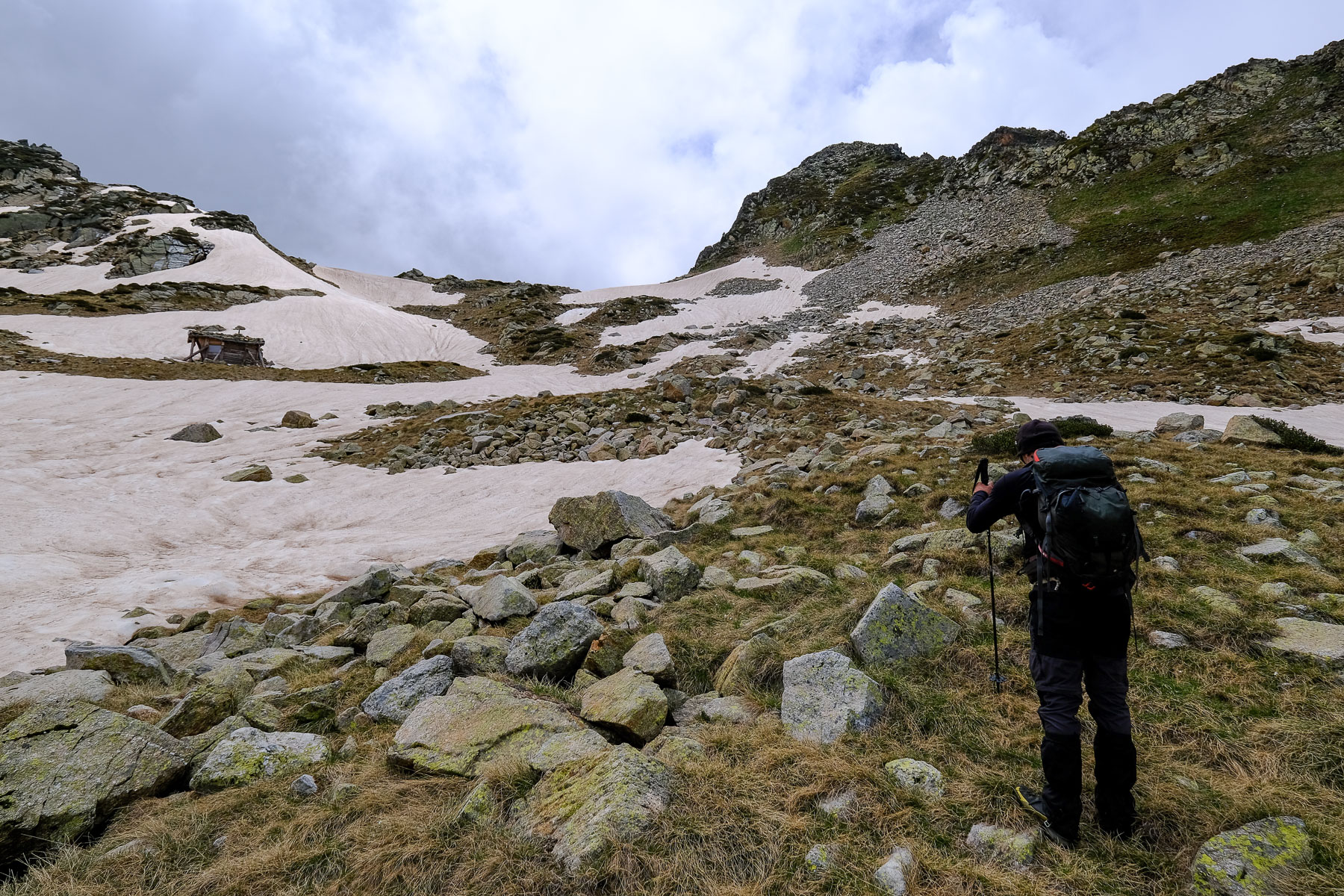
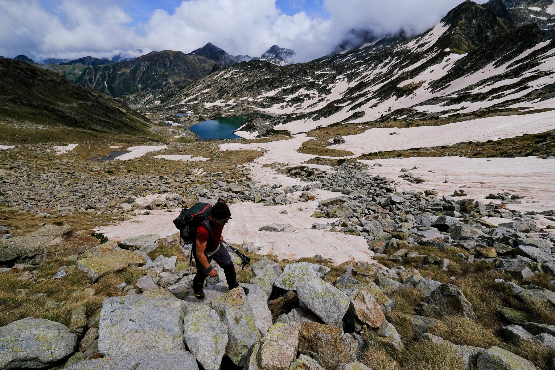
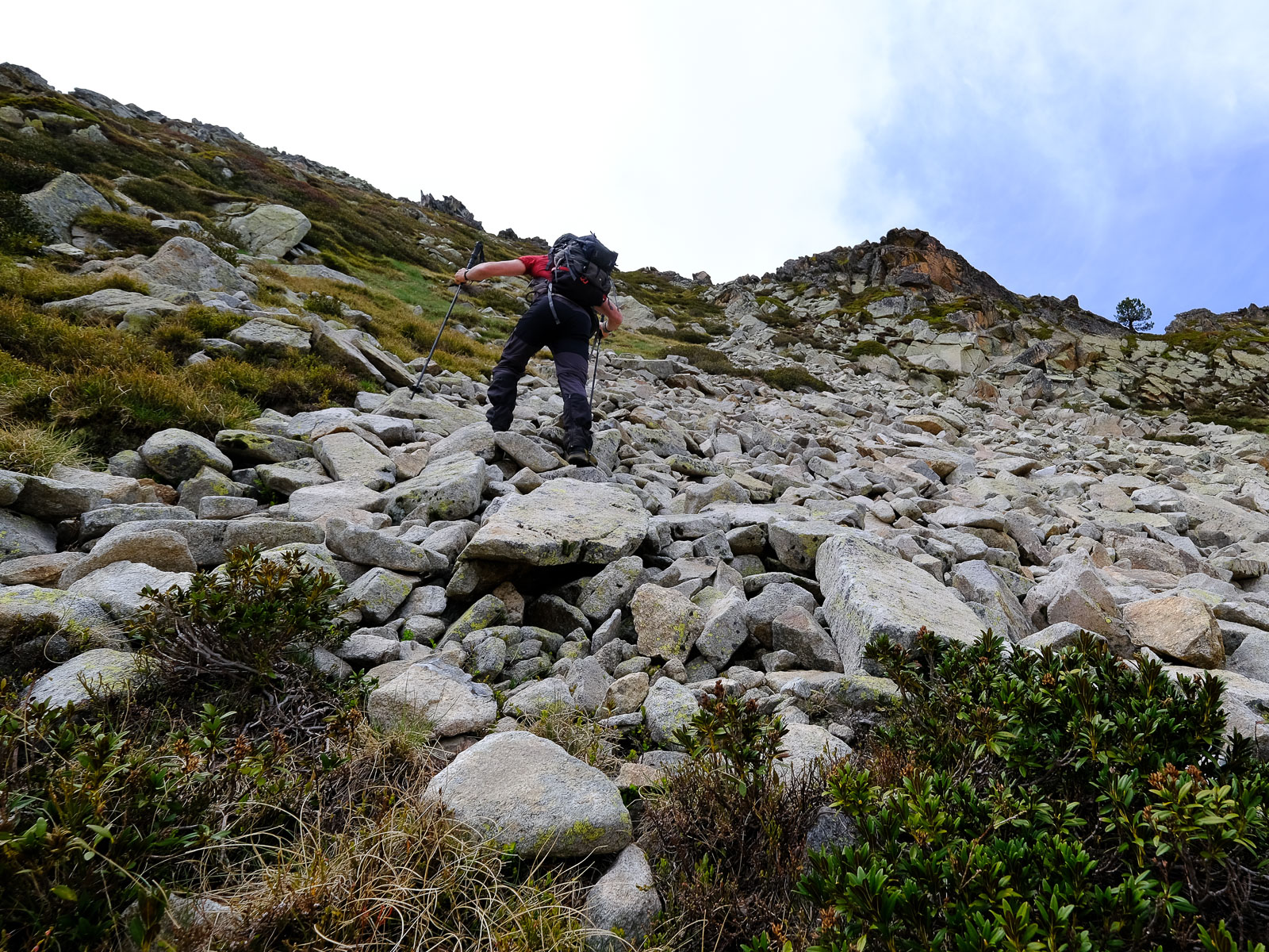
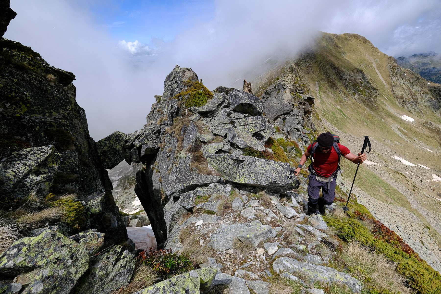
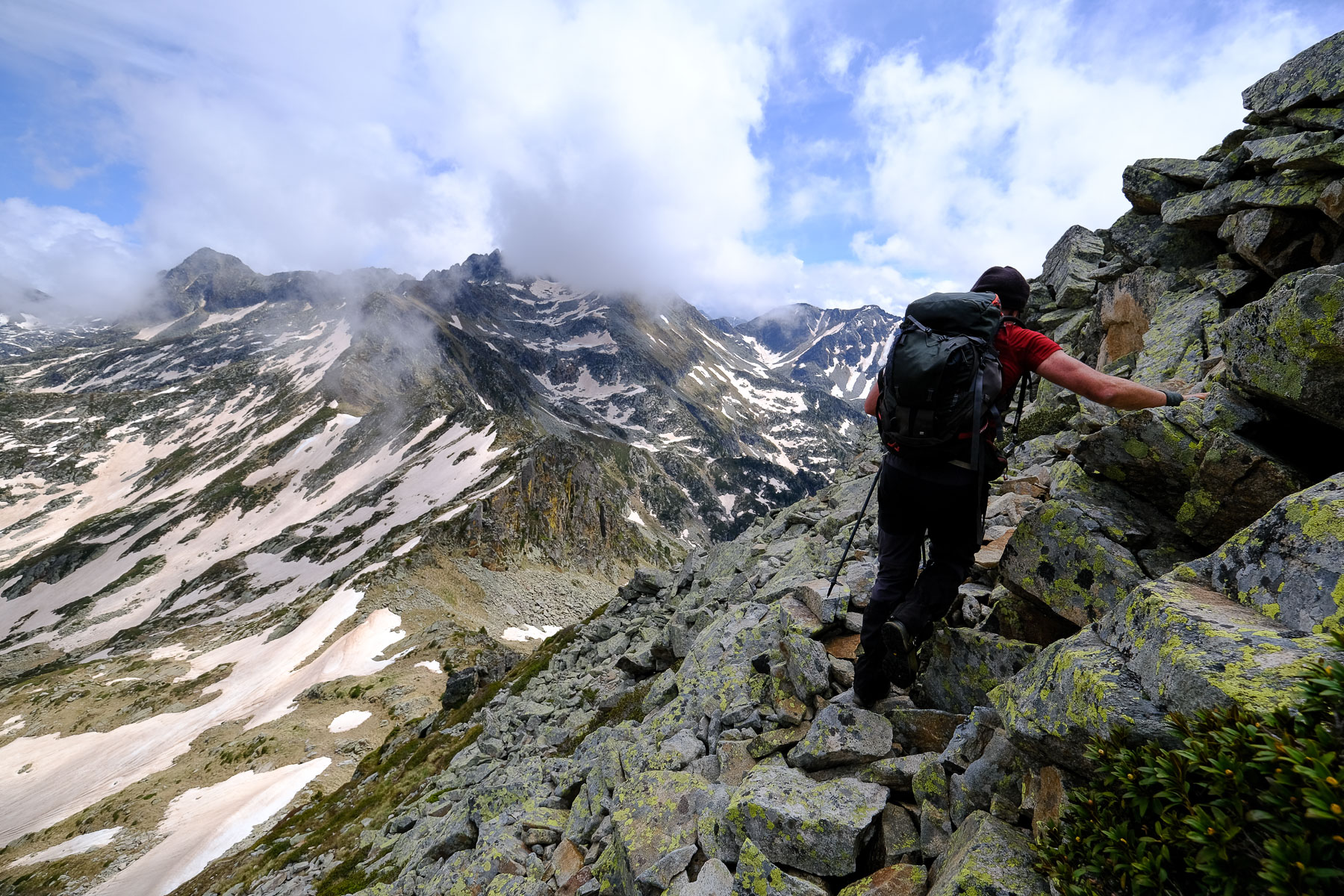
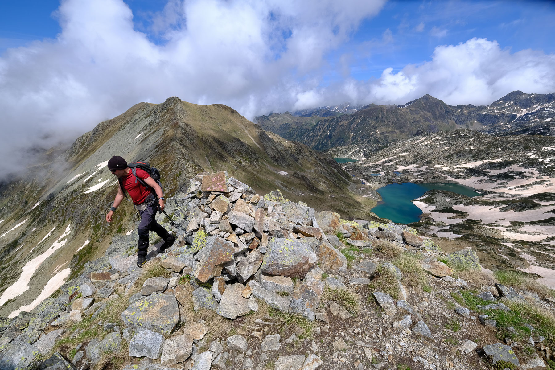
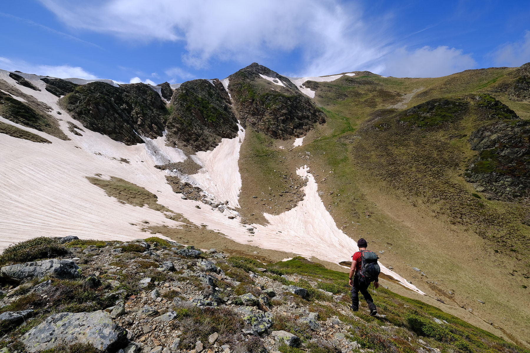
The route follows a minimal path with a few cairns to the summit of Pic de l'Homme. The second part is off-piste, but without too much difficulty (with the GPS track it's better). The ascent includes some very steep passages in gispet or scree, and you'll have to put your hands down a little on the final section and in a few places on the ridge (III max, airy and exposed in places). The loop can be extended by continuing along the ridge and descending further (see purple map), which we didn't do as we were new to the route.
Continue along the Etang de Naguille back to the dam and then reverse the long, actually rather interminable, descent back to the Orlu forges parking lot.
Topo of Pic de l'Homme from Llau via Lac d'Aygue Longue on visorando.


Leave a Reply