


TOPO Hiking | CLIMBING7.COM
Publié le
 Partager sur WhatsApp
 Partager sur Twitter
Partager sur Instagram
Partager sur Twitter
Partager sur Instagram

 Partager sur Facebook
 Imprimer le topo
 Laisser un commentaire

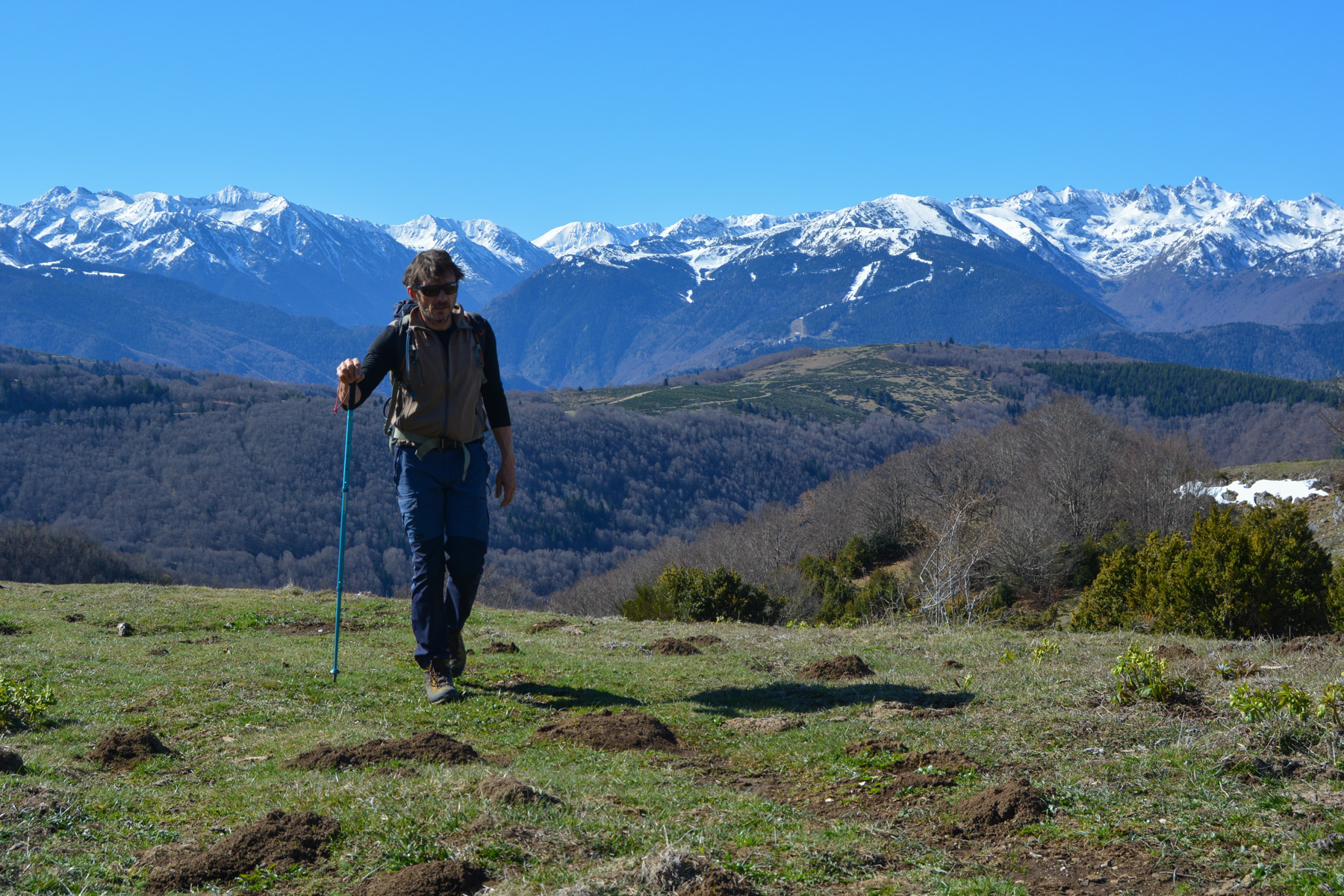
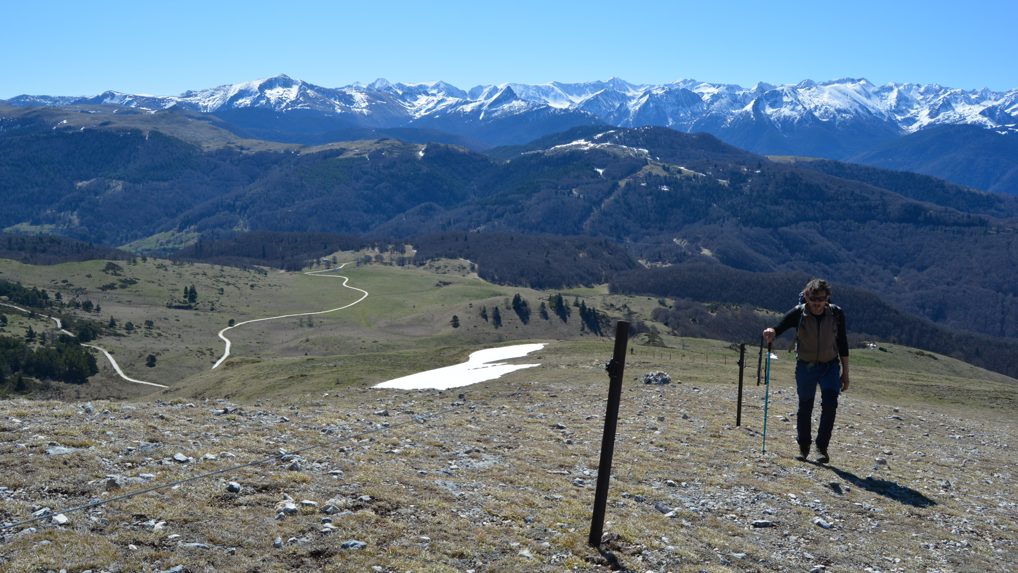
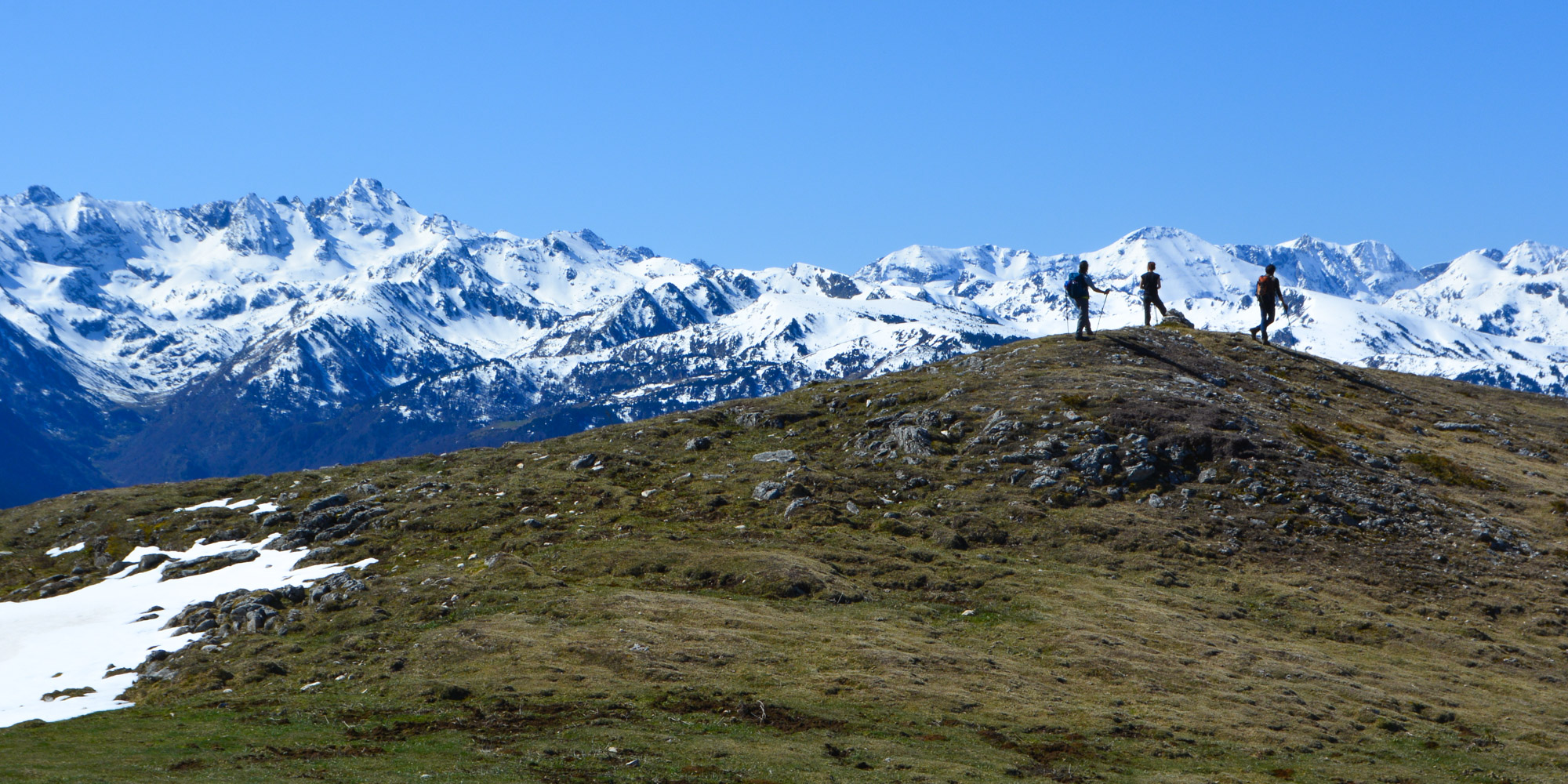
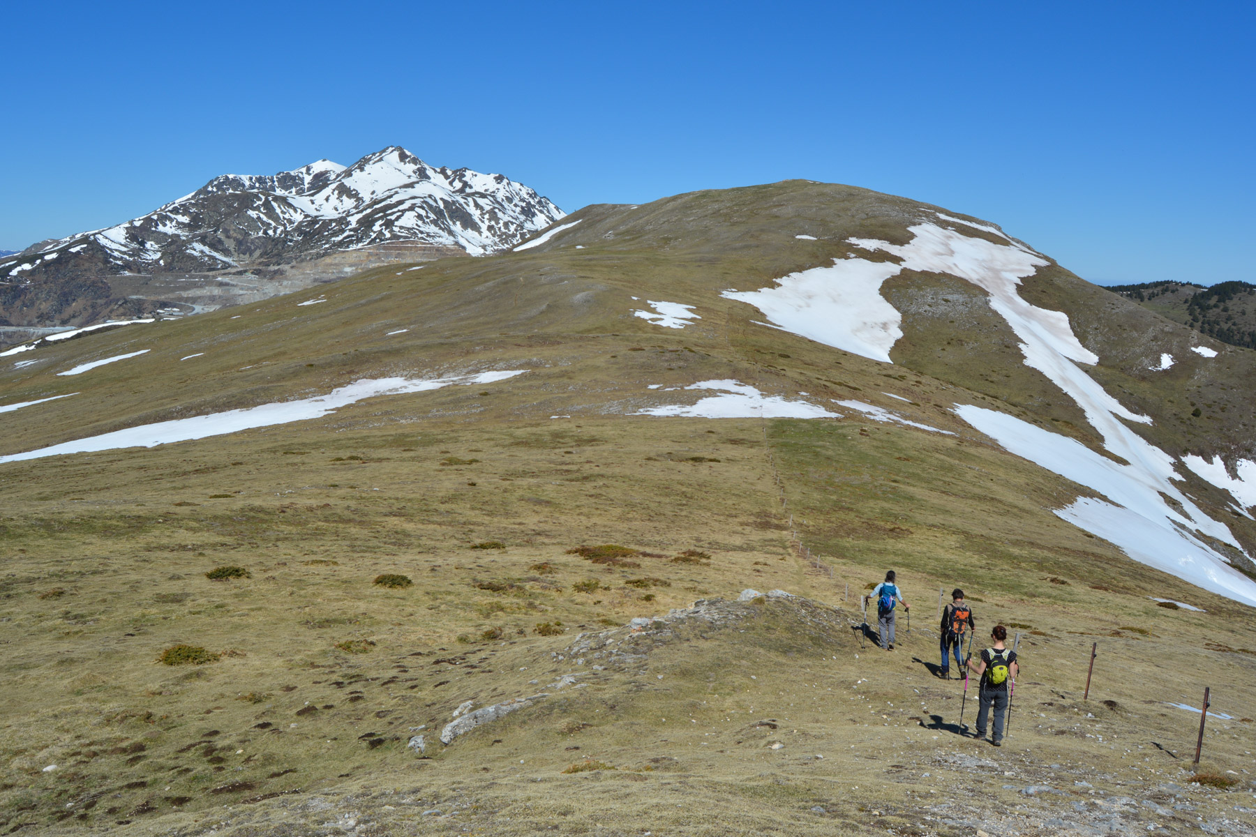
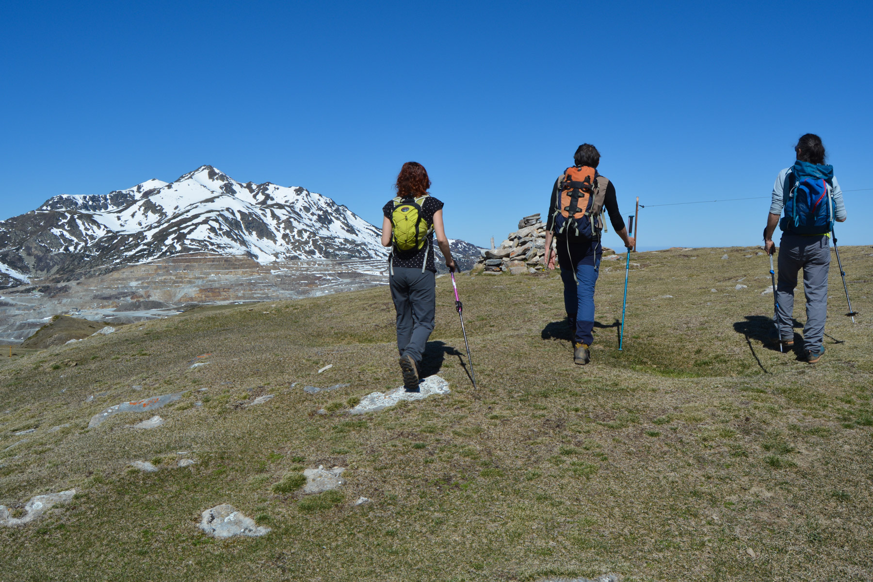
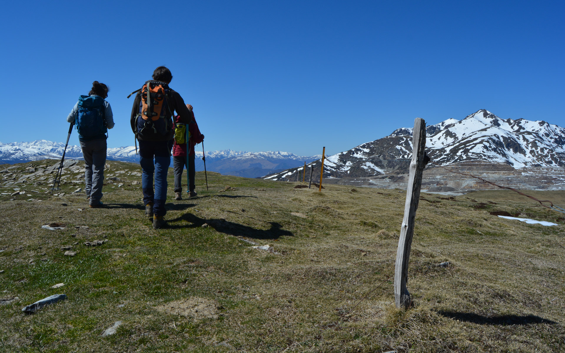
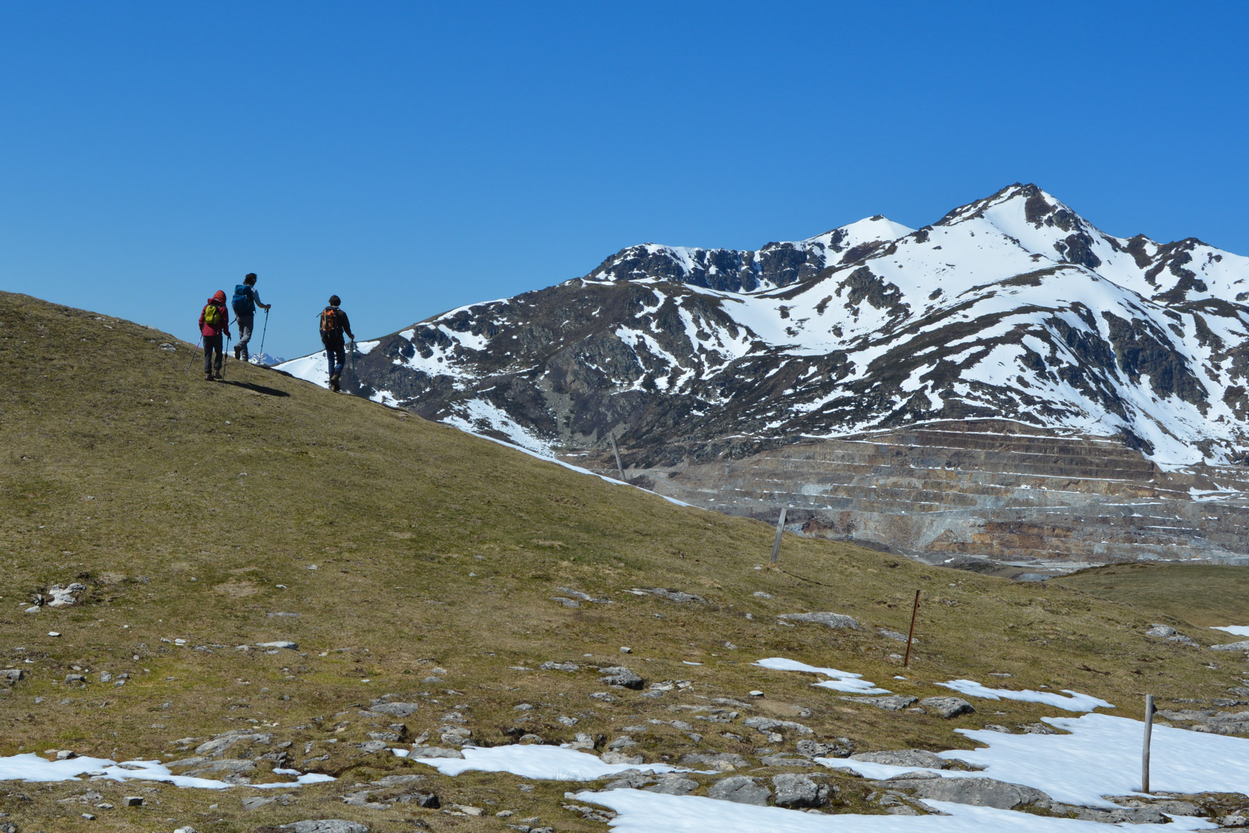
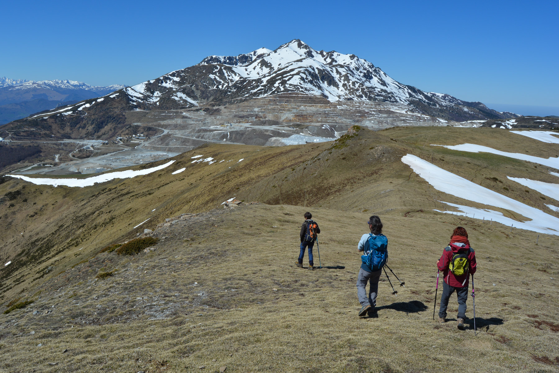
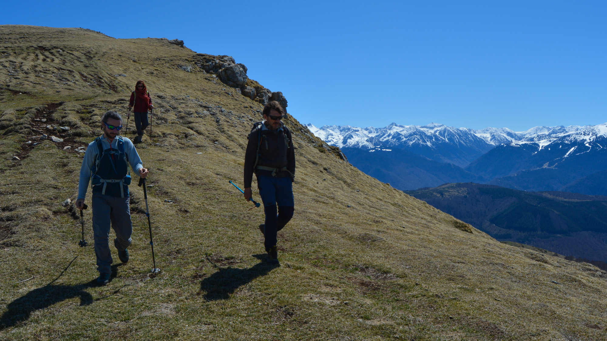
From the Col de Marmare, the route to the Roc de Scaramus and on to the Pic Fourcat runs east-west along a long pre-Pyrenean ridge. The main attraction is the exceptional panorama to the south, with over 180° of Ariege summits, from Tarbésou in the east to Mont Valier in the west. To the north, we fly over the plains of the Aude and to the west, the snow-capped peaks of the Tabe massif. It's a long loop all the same, and the final stretch back to the Col de Marmare from Caussou is a bit of a leg-bender.
❱❱ Technical summary
Type ✦ Hiking
Location ✦ Caussou
Region ✦Ariège
Country ✦ France
Orientation ✦ South
Max altitude ✦ 2714m
Distance ✦ 15,9km
Dénivelé ✦ 1100m
Difficulty ✦ AD
Duration ✦ 5h to 6h
Interest ✦ ★★
❱❱ Access to the place
The Col de Marmare (1361m) can be reached from the north via Camurac and Belcaire in the Aude department, or from the south via the Col de Chioula above Ax-les-Thermes. Park at the bend where the ascent path starts and where the PR that climbs from Caussou ends. The loop can also be done from Caussou, with all the ascent first, then the descent.
❱❱ Map & topo
❱❱ Itinéraire
From the pass, at the bend in the road, take the wide forest path that climbs to the north-west. After a few bends, you come out onto a large, grassy, high-level, totally open plateau. From here, you can clearly see the ridge rising to the north-west and the path along a fence.
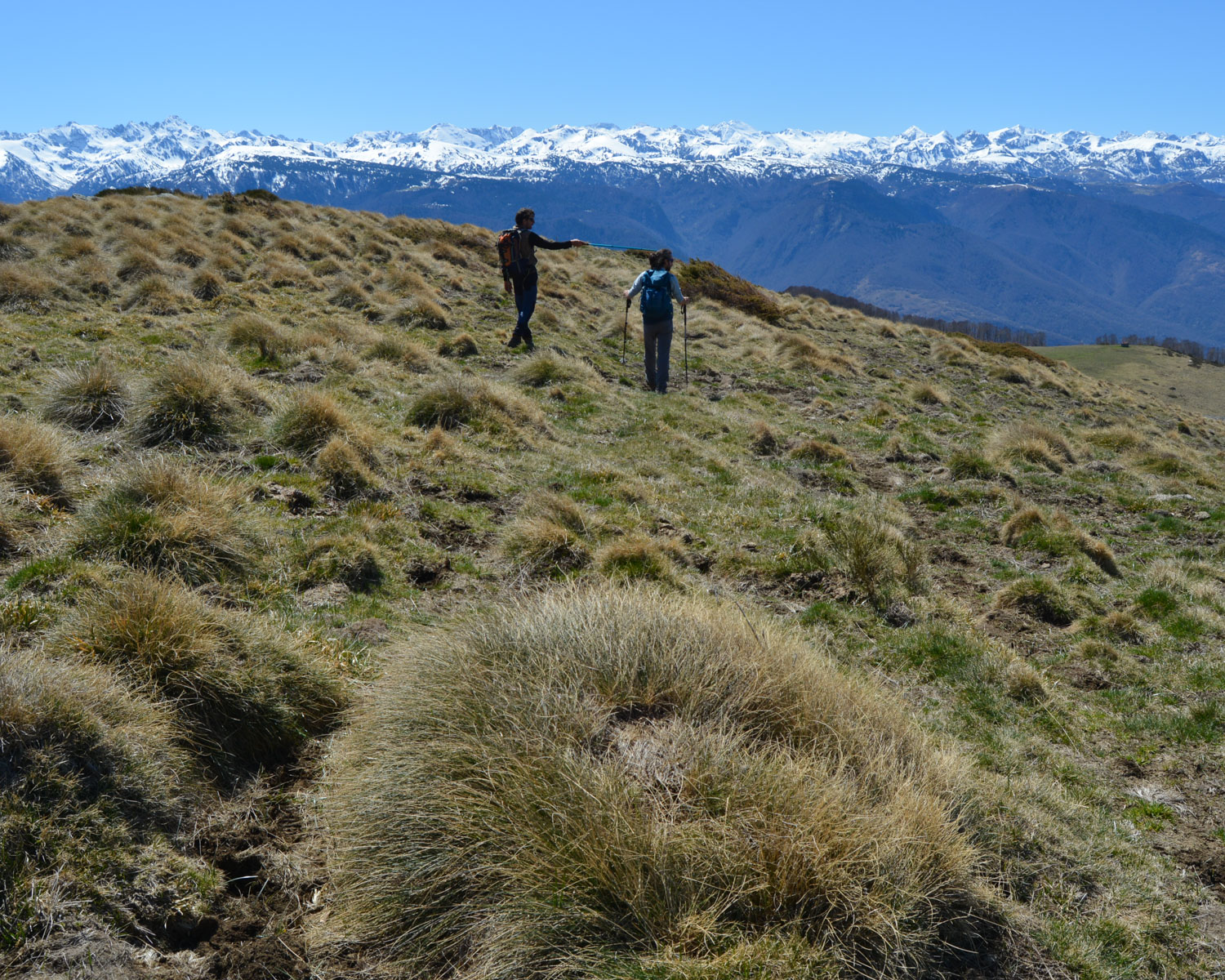
The loop is almost 16 kms long. It's easy to follow the ridge, pass Roc de Scaramus and Pic Fourcat and descend via Sarrta de Malanet. From the Jasse de la Teste, however, it's less obvious, and the descent to the village of Caussou is on a path that's not very visible, and a little difficult to see. There are no technical difficulties along the way.
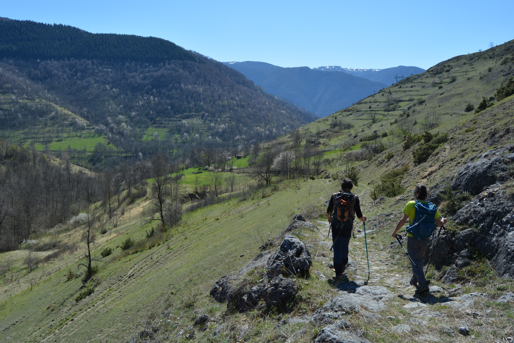
Go through Caussou and take the yellow PR path heading east. It climbs very gently, gradually descending into the small valley of the Marmare stream. Further on, the path approaches a track. Continue on the unmarked paths and join this track further on, or catch the track straight away and follow it, still climbing eastwards.
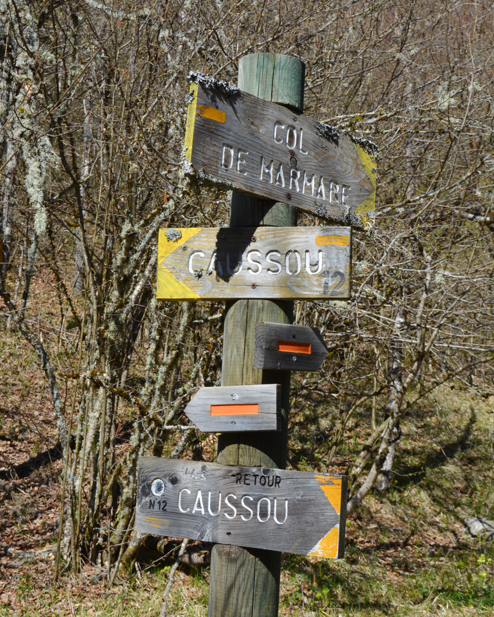
At the end, in a bend and just as you cross the stream, take the path up to the Col de Marmare (signpost). 450m of sustained ascent in the forest to return to the starting point. A physical finish.
Topo of Roc de Scaramus on snowshoes from the south side


Leave a Reply