


TOPO Hiking | CLIMBING7.COM
Publié le
 Partager sur WhatsApp
 Partager sur Twitter
Partager sur Instagram
Partager sur Twitter
Partager sur Instagram

 Partager sur Facebook
 Imprimer le topo
 Laisser un commentaire

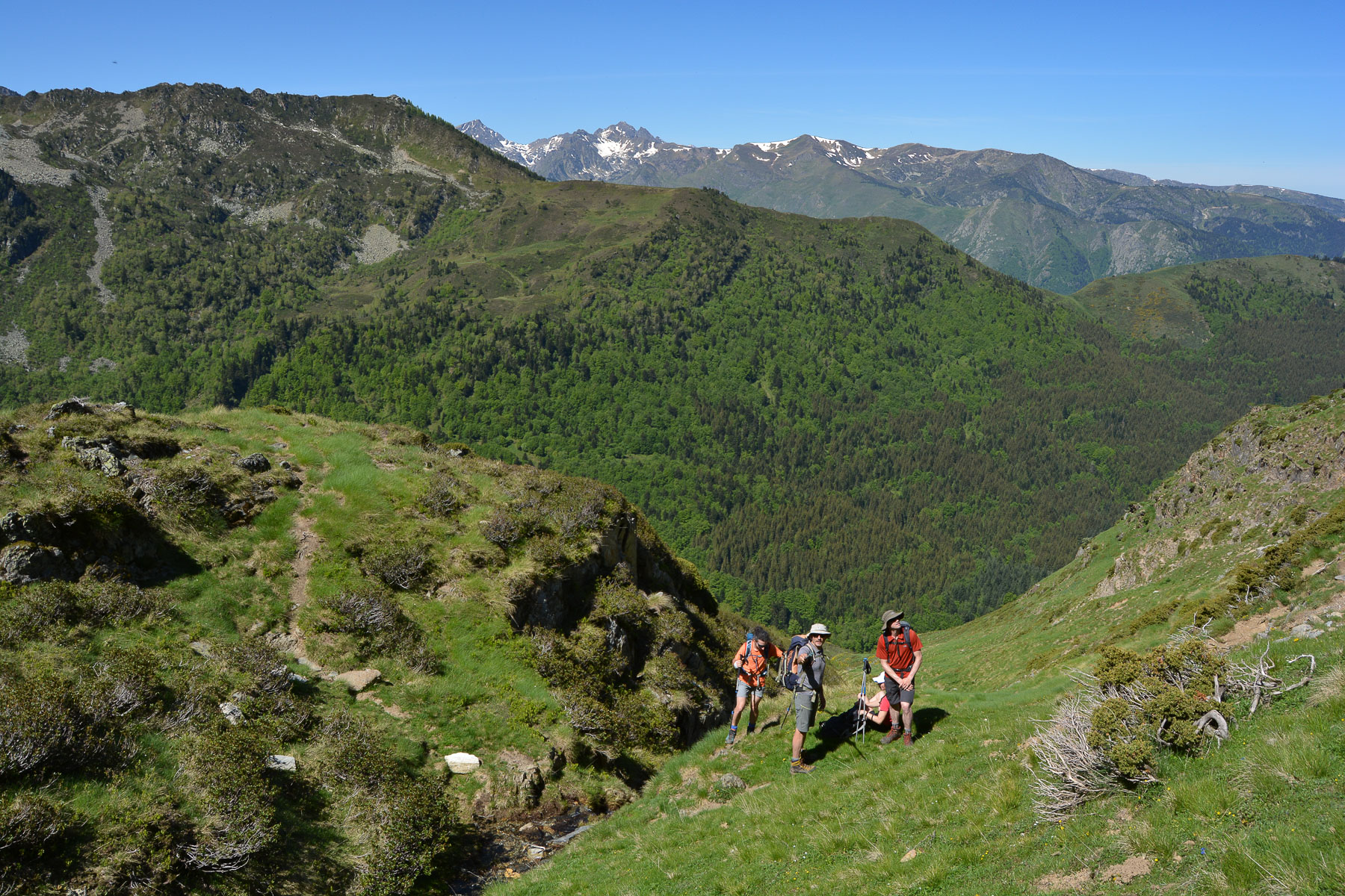
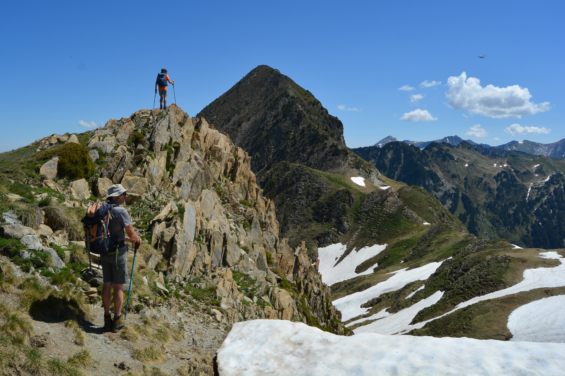
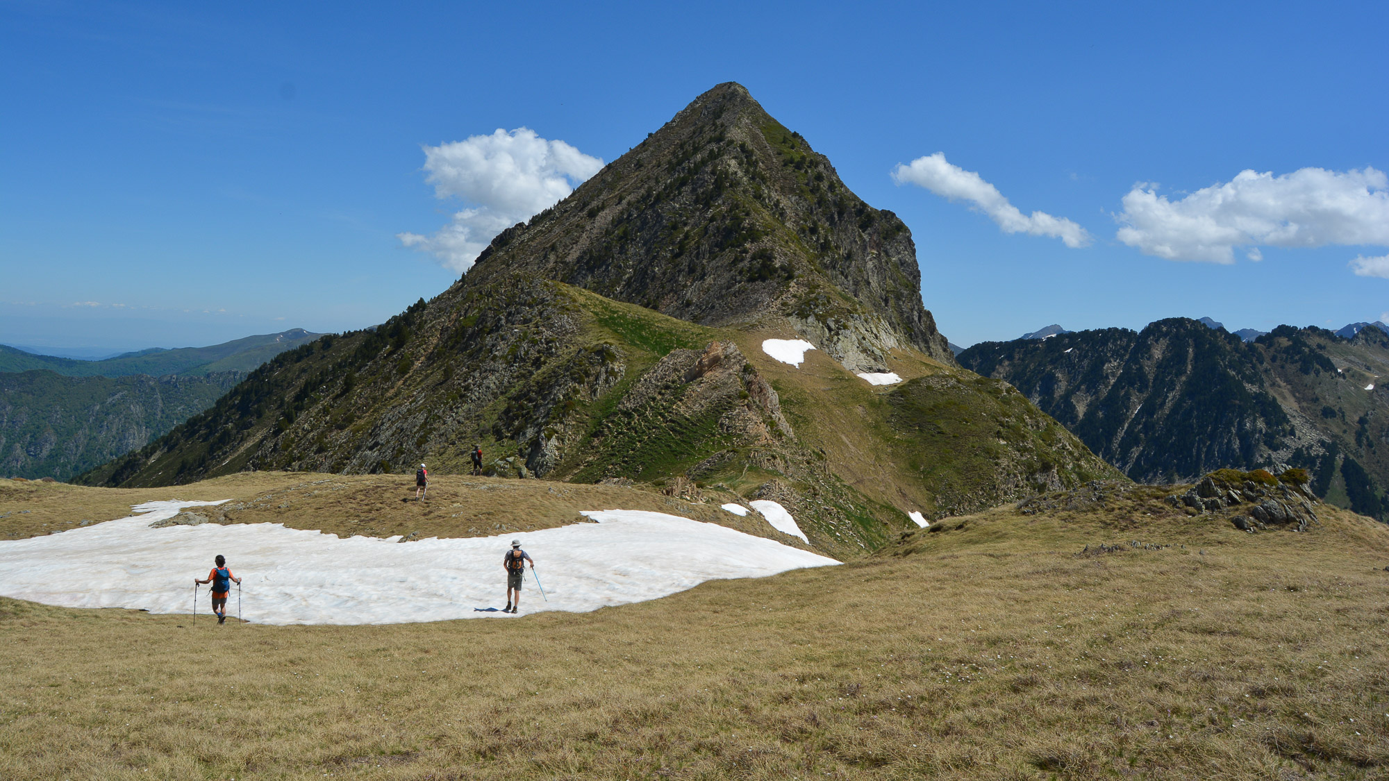
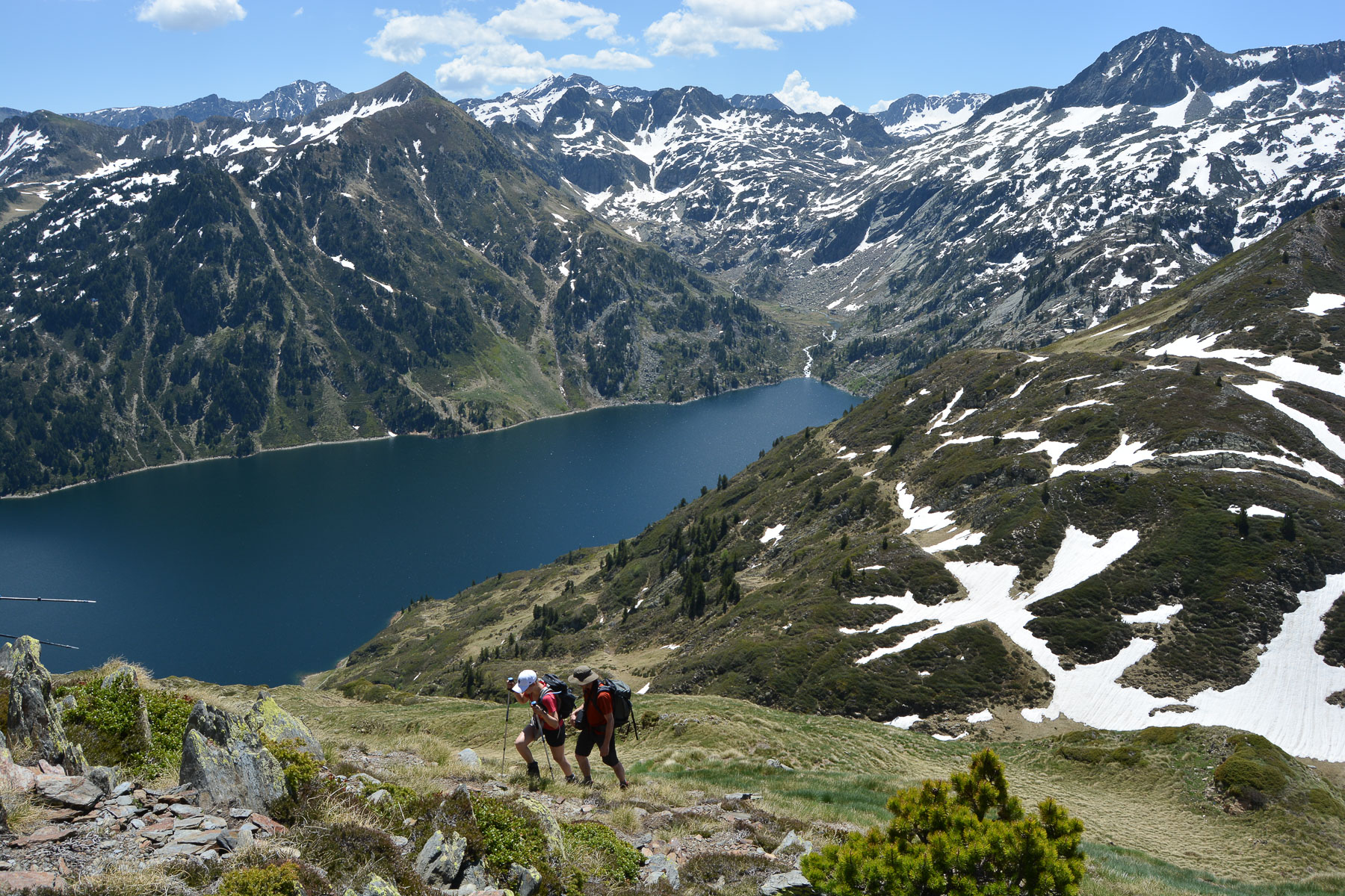
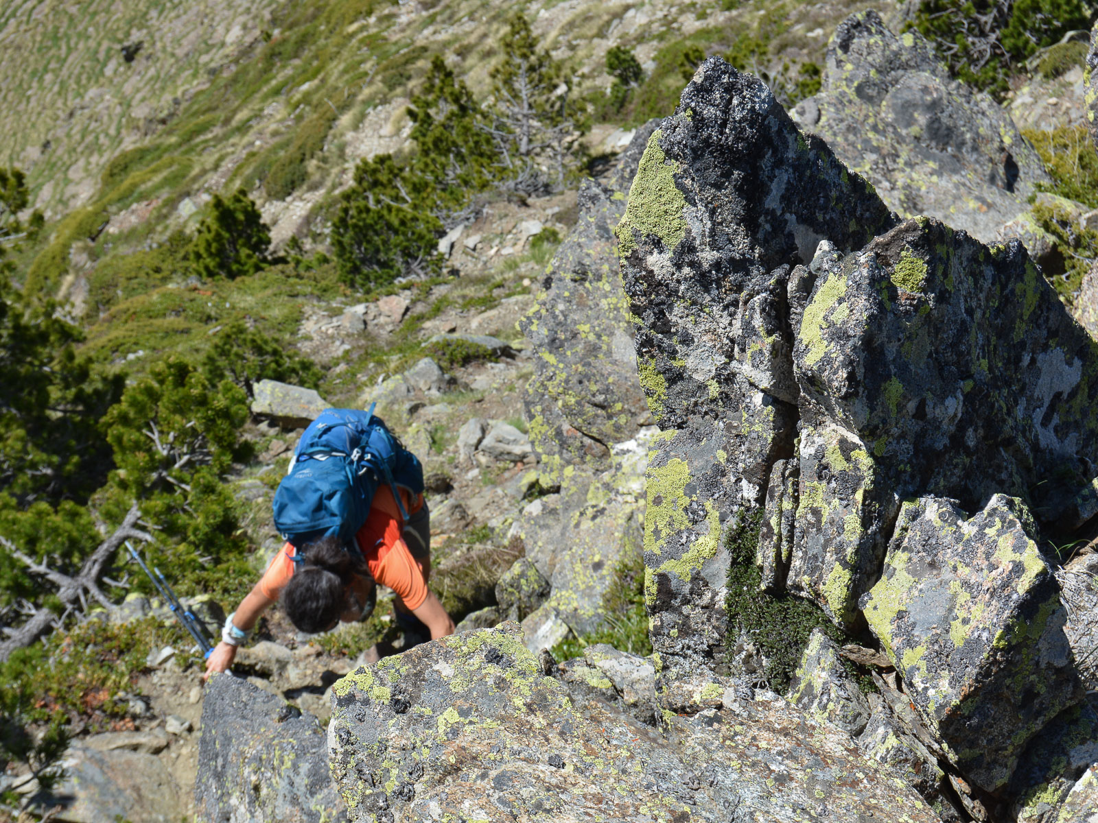
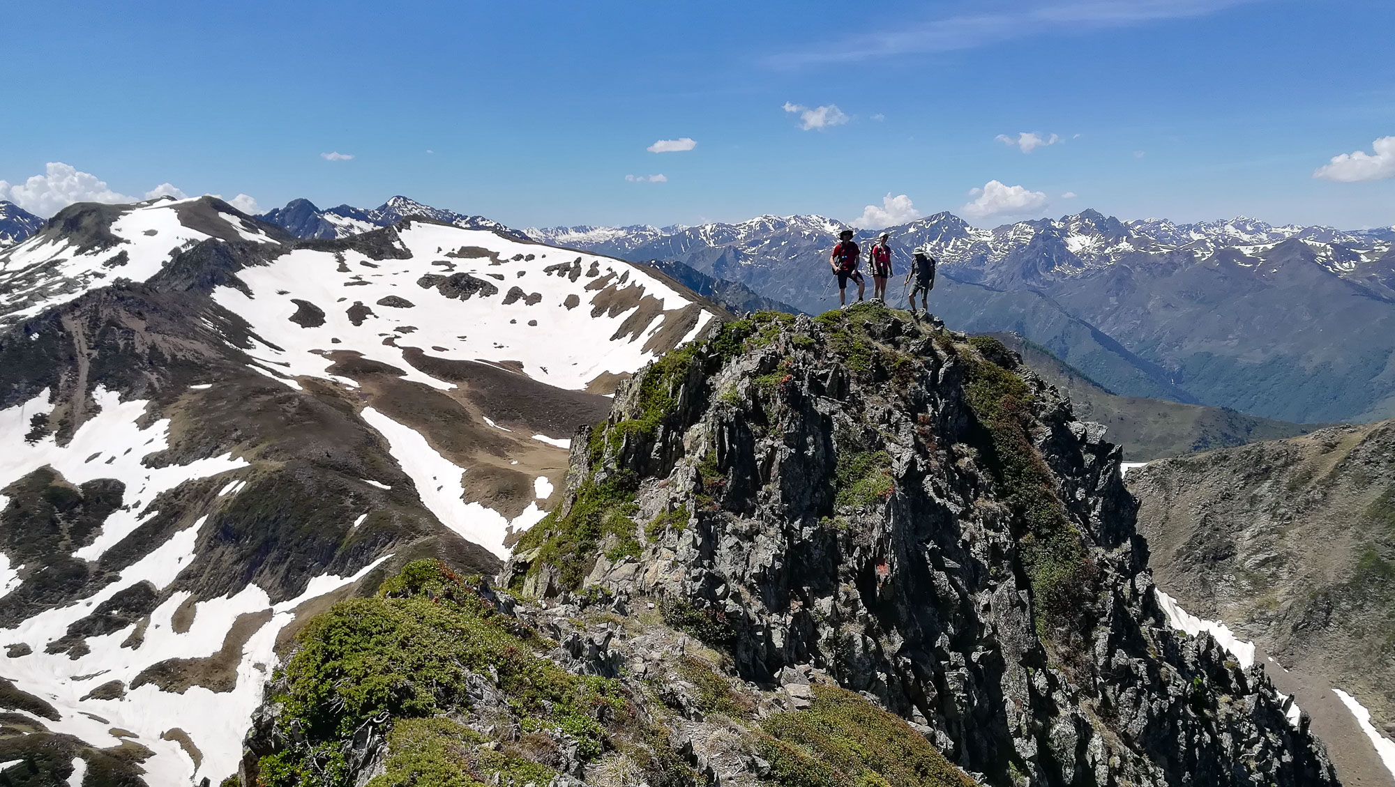
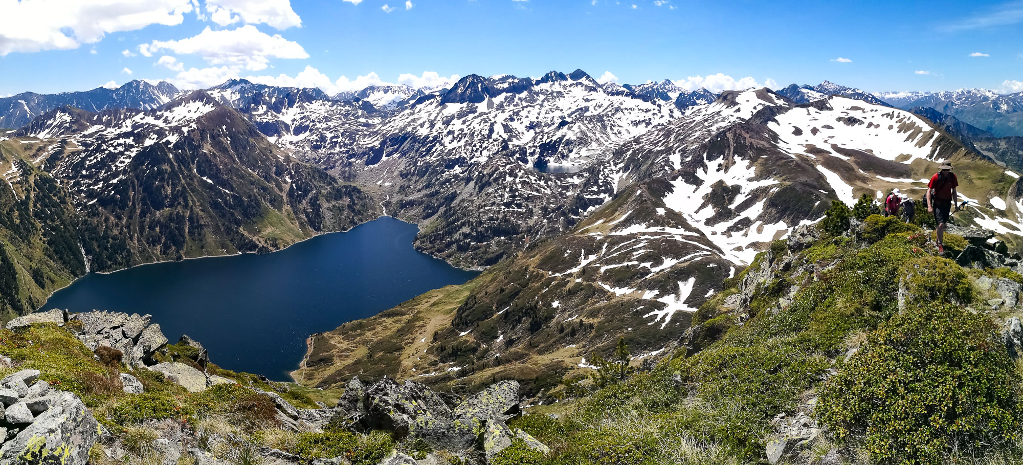
From the Orgeix valley, the ascent to the Pic de Cimet offers both an interesting aerial final route and a splendid panorama of the Lac de Naguille below. The ridge leading to the summit is impressive, and in places narrow, making it necessary to put your hands down. On the way back, you can make a loop to reach the nearby Pic des Estagnols from the Col des Clotes. The route then continues along a series of ridges with new views to the north, before returning off-trail to the approach path.
❱❱ Technical summary
Type ✦ Hiking
Location ✦ Orgeix
Region ✦ Ariège
Country ✦ France
Max altitude ✦ 2714m
Distance ✦ 9kms / 10kms (if Estagnols)
Dénivelé ✦ 980m / 1100m (si Estagnols)
Difficulty ✦ AD
Duration ✦ 5h to 6h
Interest ✦ ★★
❱❱ Access to the place
From Ax-les-Thermes, take the Orlu valley road. At Orgeix, fork across the Oriège and follow the road/trail south to the Llau parking lot.
❱❱ Map & topo
❱❱ Itinéraire
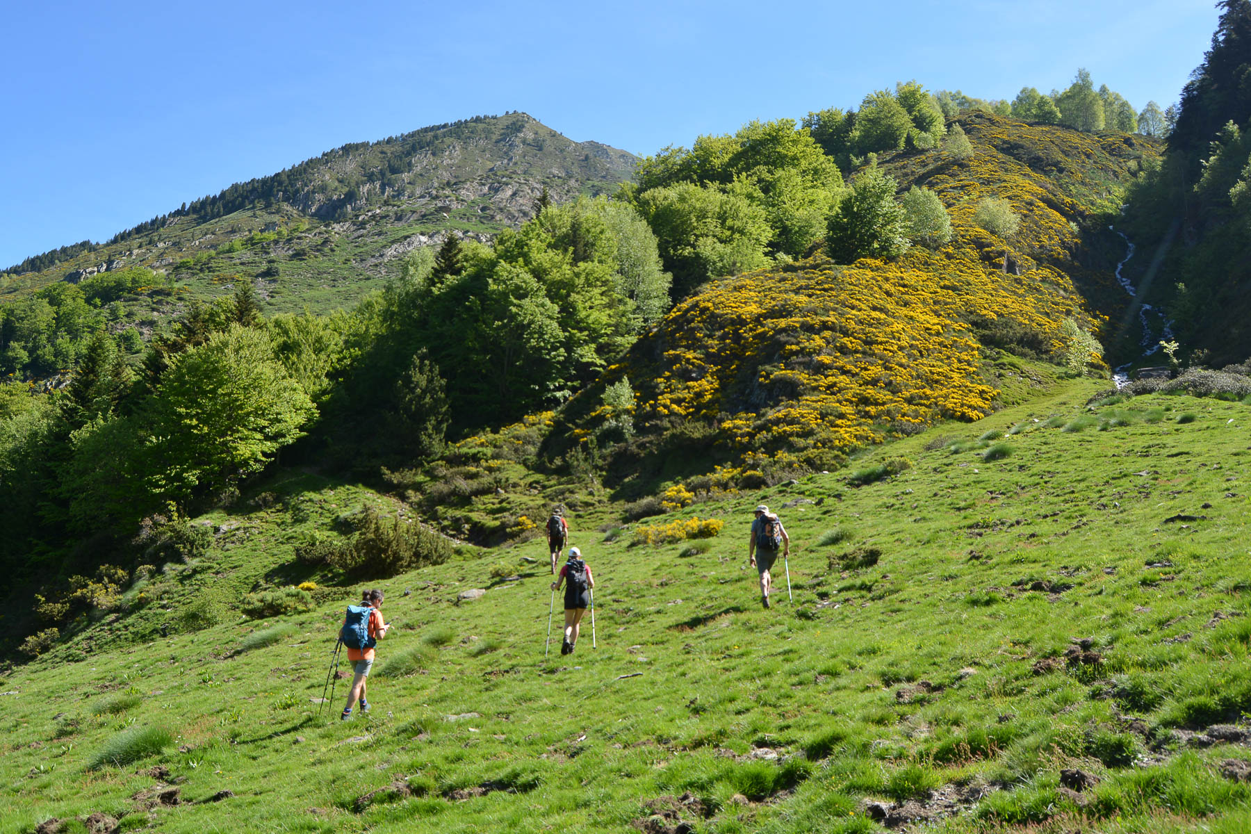
From the parking lot, follow the yellow-marked path up the left bank of the torrent. Further up, you come to an open basin with a hut. Cross the Orgeix valley stream. Start the ascent to Pic de Cimet.
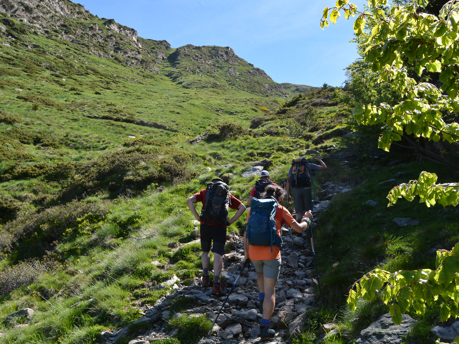
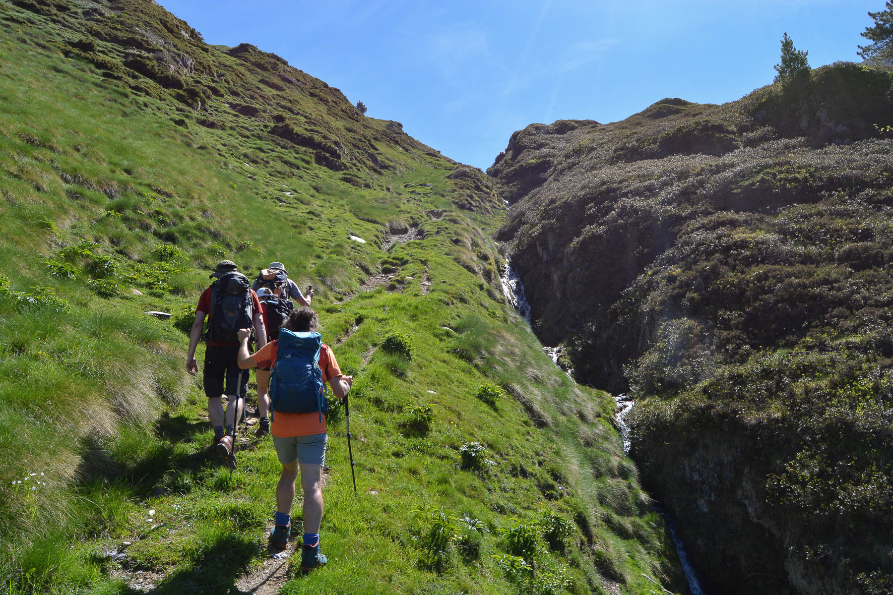
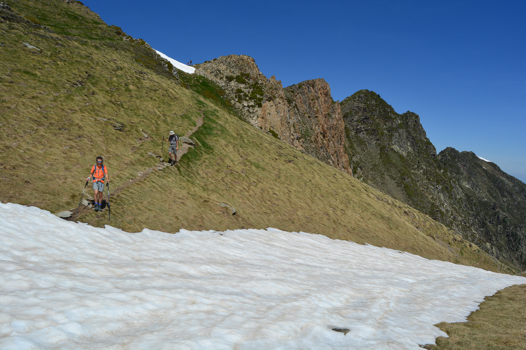
The route is an out-and-back at its simplest, with an optional passage over the Pic des Estagnols on the way back. Only the final ridge leading to the summit of the Pic de Cimet can pose a problem, as it is aerial and requires you to use your hands in places. The rest of the route is on marked trails, except for the final stretch to the Col des Clotes, which is without difficulty.
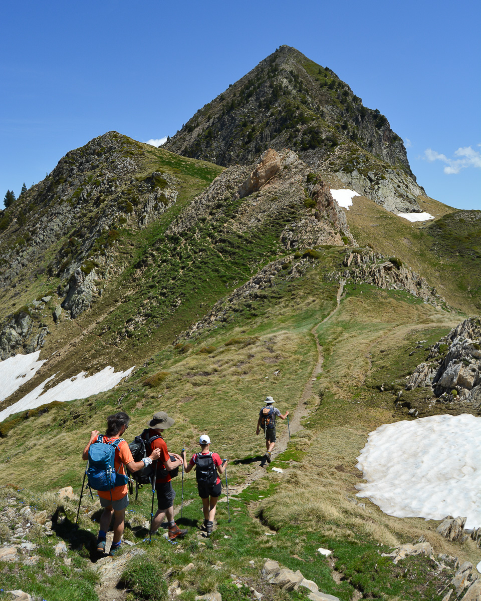
Either take the ascent path from the Col des Clotes, or, in the Estagnols option, follow the West ridge back down before heading back south to find the ascent path (off-path and a bit of improvisation). In either case, cross the footbridge and descend through the forest to the starting parking lot.


Leave a Reply