


TOPO Hiking | CLIMBING7.COM
Publié le
 Partager sur WhatsApp
 Partager sur Twitter
Partager sur Instagram
Partager sur Twitter
Partager sur Instagram

 Partager sur Facebook
 Imprimer le topo
 Laisser un commentaire

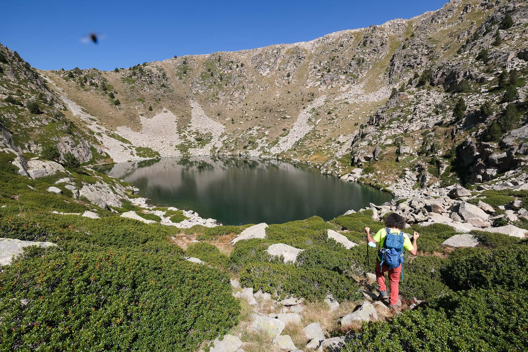
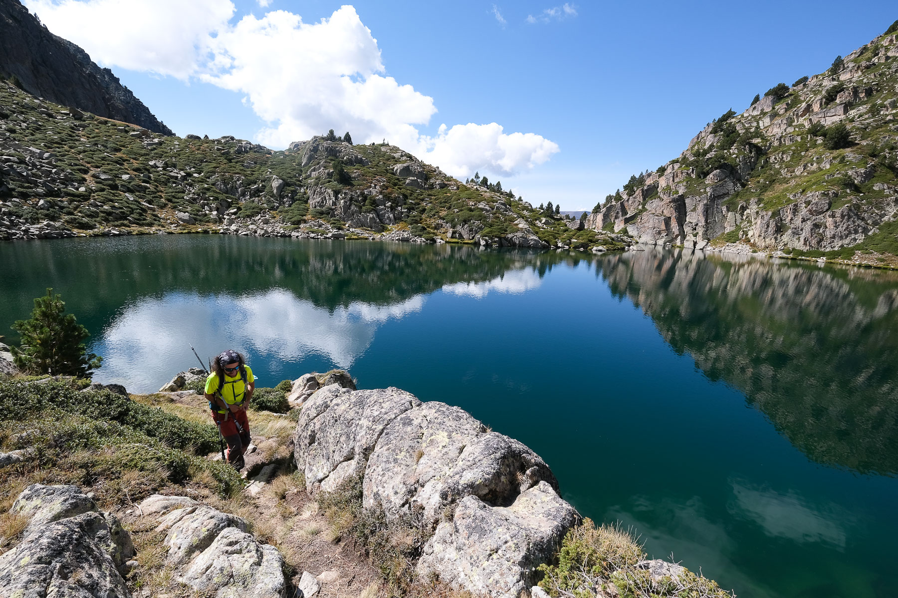
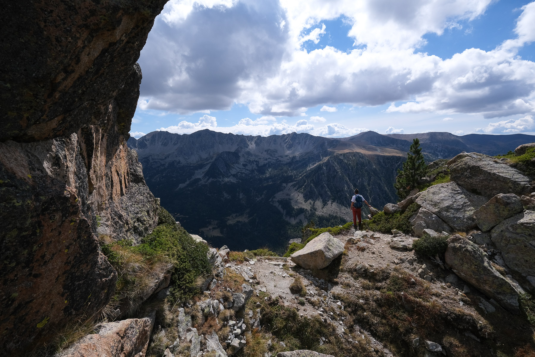
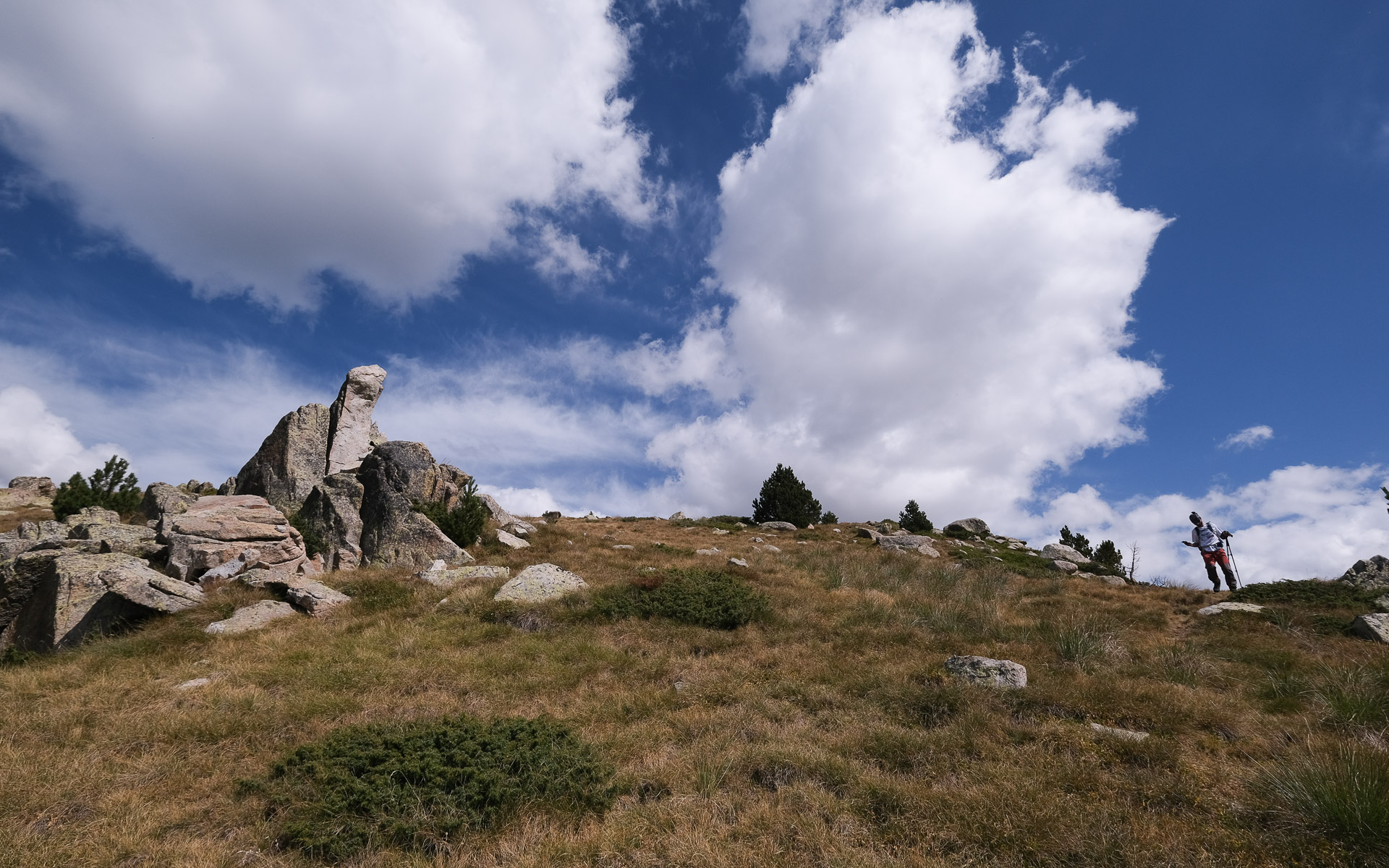
The route from Escaldes takes in the Vall de Madriu and returns via the ridges through Estany Blau and Tossa del Braibal. The Vall de Madriu section offers a bucolic landscape in stark contrast to the asphalt and concrete of Andorra la Vella. The blue pond and ridge take on the colors of the high mountains, giving you a commanding view of Andorran territory before plunging back down to the town at the bottom of the valley. To avoid a transfer on the return journey, you can either return to Escaldes via Ramio from Col Jovell, or start and finish at Engolaster.
❱❱ Technical summary
Type ✦ Hiking
Location ✦ Escaldes-Engordany
Country ✦ Andorra
Max altitude ✦ 2657m
Distance ✦ 15km
Vertical drop ✦ 1450m
Difficulty ✦ E4 / T3 / R2
Duration ✦ 6h to 7h
Interest ✦ ★★
❱❱ Access to the place
Depending on your planned departure, either go to Escaldes-Engordany or Engolasters. For a departure from Escaldes, find a place to park close to the start on the CS-101 or climb up from the town (see approach). Alternatively, park a little above Engolasters, in the Font de la Closa parking lot.
❱❱ Map & topo
❱❱ Itinéraire
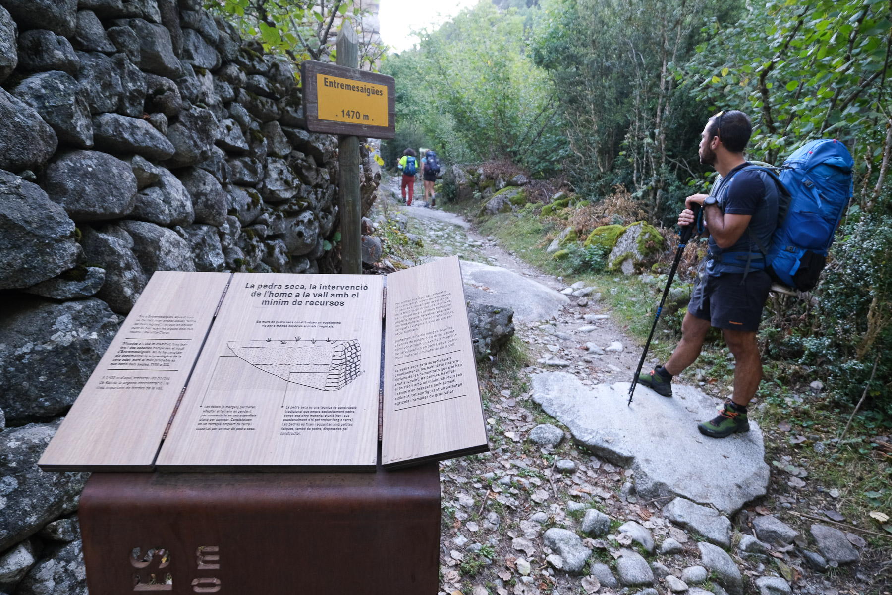
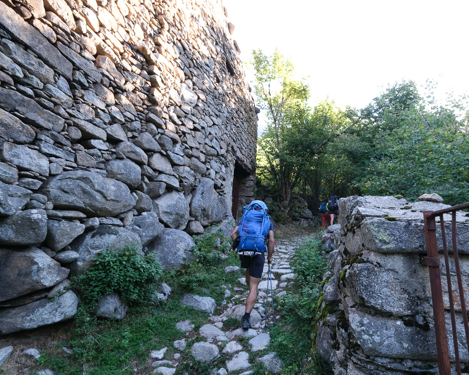
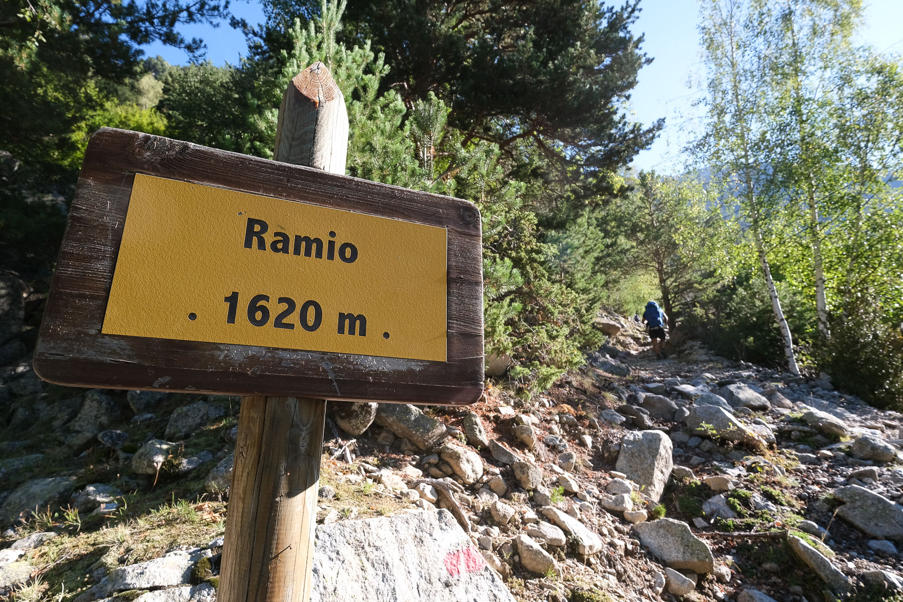
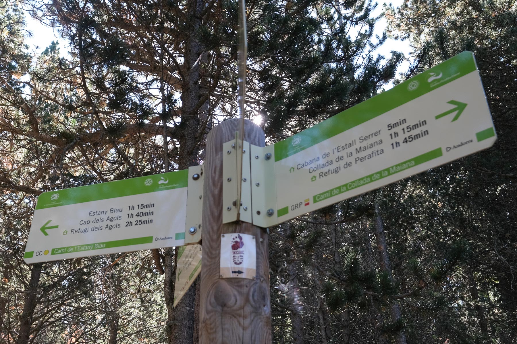
From Escaldes, take the cami de la Canaleta, which starts at Avenida Carlemany. Above, cross the main road and climb the cami de la Muntanya to reach the CS-101. From here, take the main GR-7 path towards Ramio. Follow the Madriu torrent, passing Entremesaigües and Ramio, where it opens up a little. Continue along the right bank of the Madriu until you reach a large clearing and the Fontverd refuge. Keep going for a while and you'll come to a fork in the road on the left towards Estany Blau.
From Font de la Closa, climb to Col Jovell, then descend on the opposite side to reach Ramios. From here, follow to the left fork to Estany Blau (option not tested).
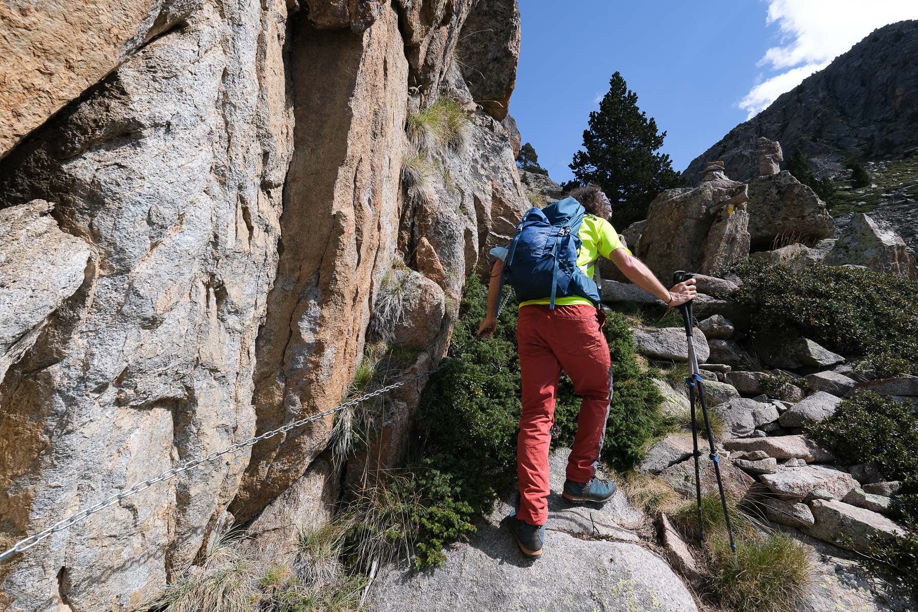
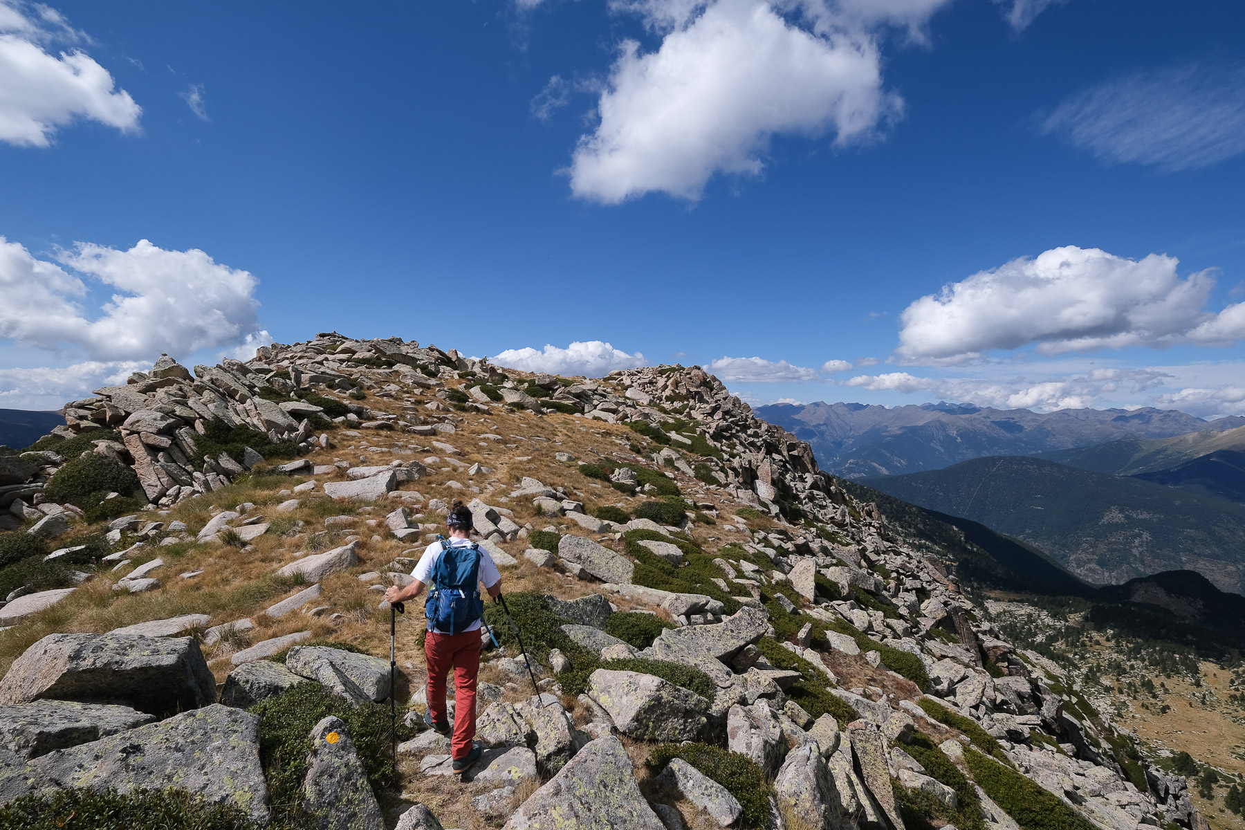
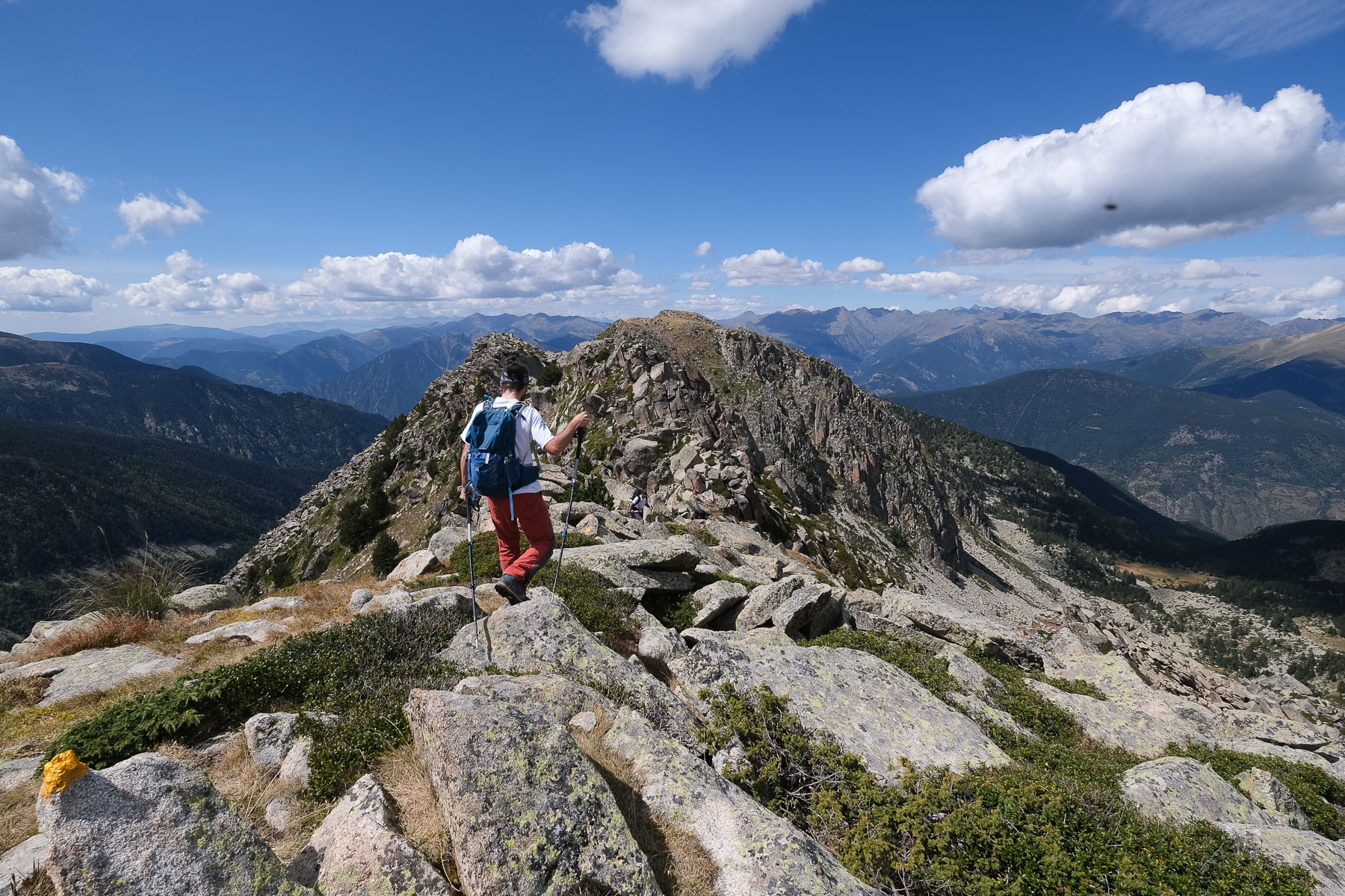
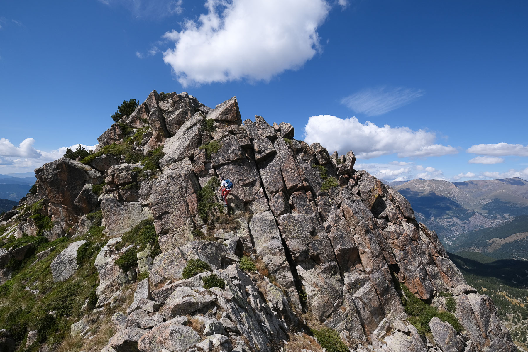
The route follows marked trails the whole way: GR-7, then yellow dots from the junction to the return to Engolasters. No technical difficulty except on the ridge variant, where you can stay on the edge of the ridge instead of following the yellow trail that dodges to the south (a few exposed III+ steps). On the other hand, the distance and altitude difference are quite considerable, making this loop quite difficult.
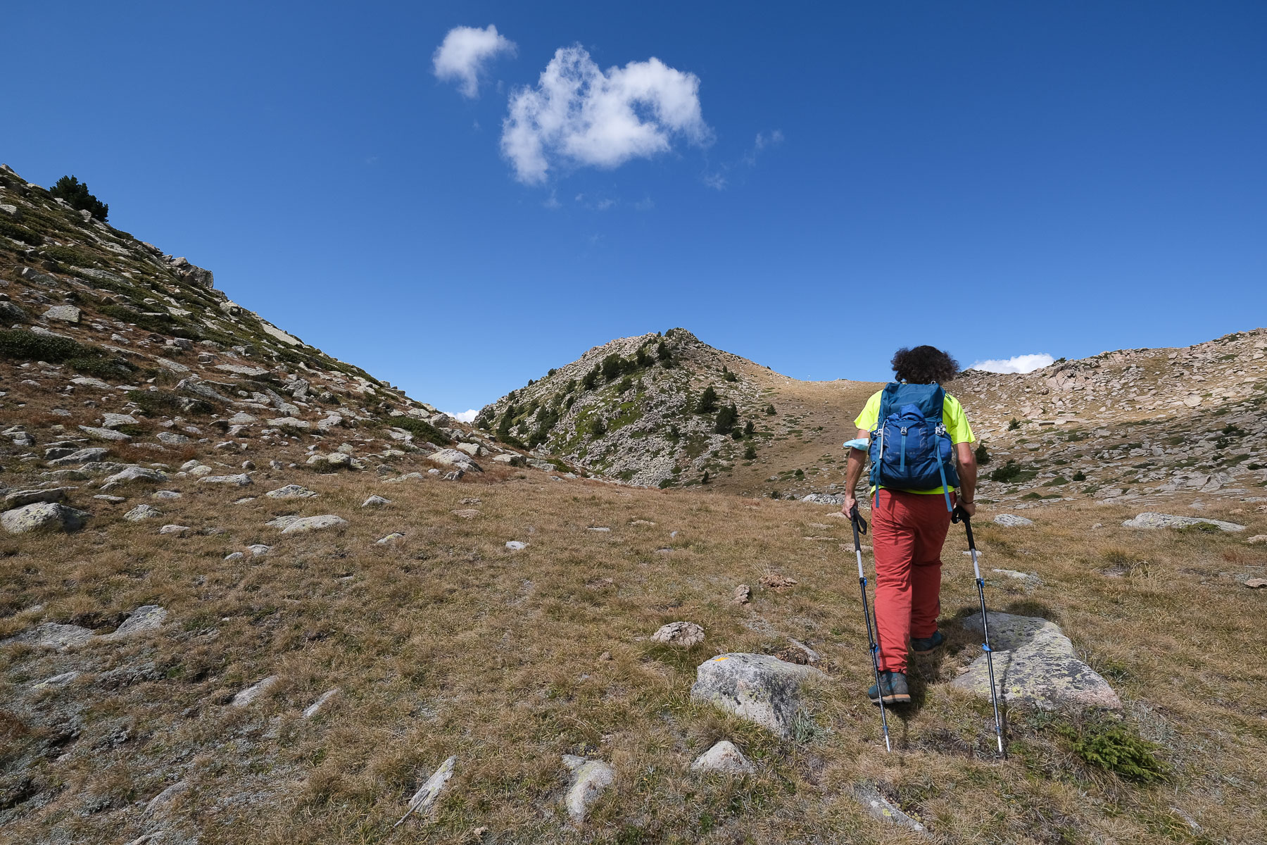
From the summit of Tossa del Braibal, start descending gently over the open ridges. The ridge then bends slightly to the left to find magnificent fir trees below. The path then alternates with scree traverses. The descent is long and steep, ending almost 900m below at Col Jovell (1780m). From here, either head back towards Ramio to return to Escaldes. In the evening, return to the Font de la Closa parking lot, depending on your starting point.


Leave a Reply