


TOPO Ski Touring | CLIMBING7.COM
Publié le
 Partager sur WhatsApp
 Partager sur Twitter
Partager sur Instagram
Partager sur Twitter
Partager sur Instagram

 Partager sur Facebook
 Imprimer le topo
 Laisser un commentaire

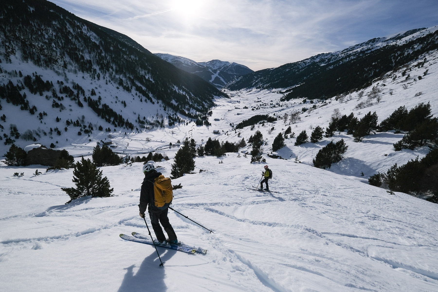
We set off to do the Pic de la Coume d'enfer, but a misdirection led us to discover a nearby summit, the Tossa de les Mussoles, which offers superb panoramic views and good slopes to ski. No major difficulties, apart from the steep, narrow couloir leading to the Estany d'Anrodat, where we left a little energy behind. We're on the border between Andorra and Ariège, and today's South-East exposure is perfect for supple, easy-to-ski snow.
❱❱ Technical summary
► Itinerary : Ski touring. 6.5km ascent, 900m D+, max. altitude 2860m. East-facing.
► Geographical situation : Vall d'Inclès, at Soldeu, parish of Canillo, Andorra. Eastern Pyrenees.
► Technical difficulties : Maximum slope 35°. Rating R-3.1-E1
► General review : Nice outing to discover the Vall d'Inclès, in a wild, high-mountain setting.
❱❱ Access to the place
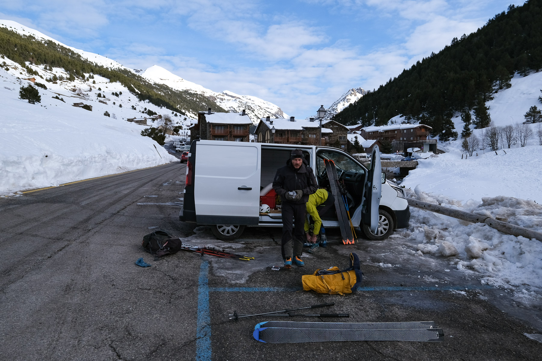
Coming from the Ariège, pass the Pas de la Case and descend towards Andorre-la-Vieille. At Soldeu level, turn right on a large curve to enter Vall d'Inclès. Drive up a few hundred meters and park before the snow.
❱❱ Map & topo
The upper part of the ascent route is approximate, from the moment you leave the riu del Manegor valley.
❱❱ Itinéraire
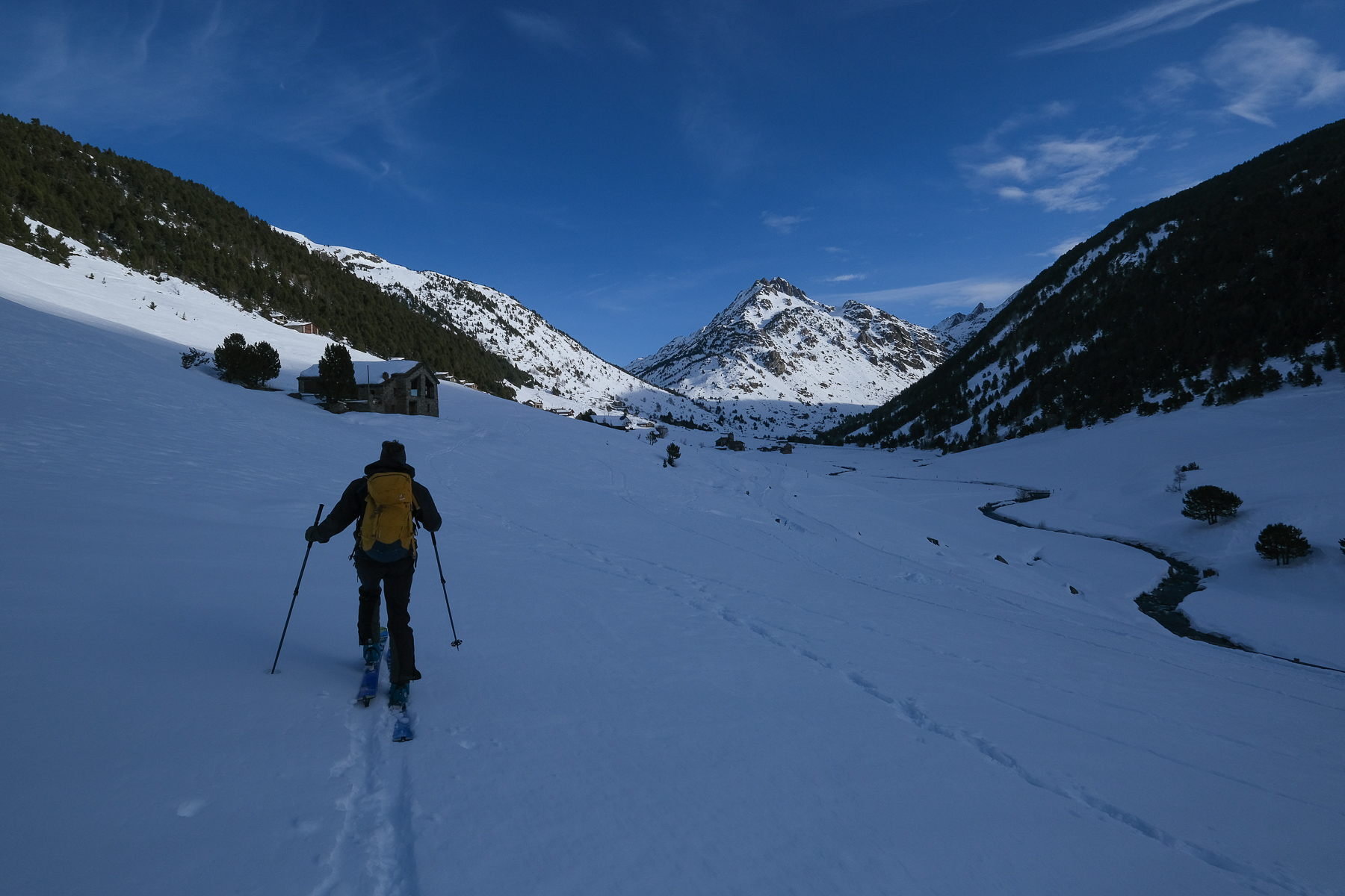
It's a question of going up the snow-covered road on a false flat to the Badalosa bridge, at the foot of the riu el Manegor valley. We tried to cut across the road on the west side, but the end is in the forest, with no real passage. Going along the road and then up the riu del manegor is probably just as good.
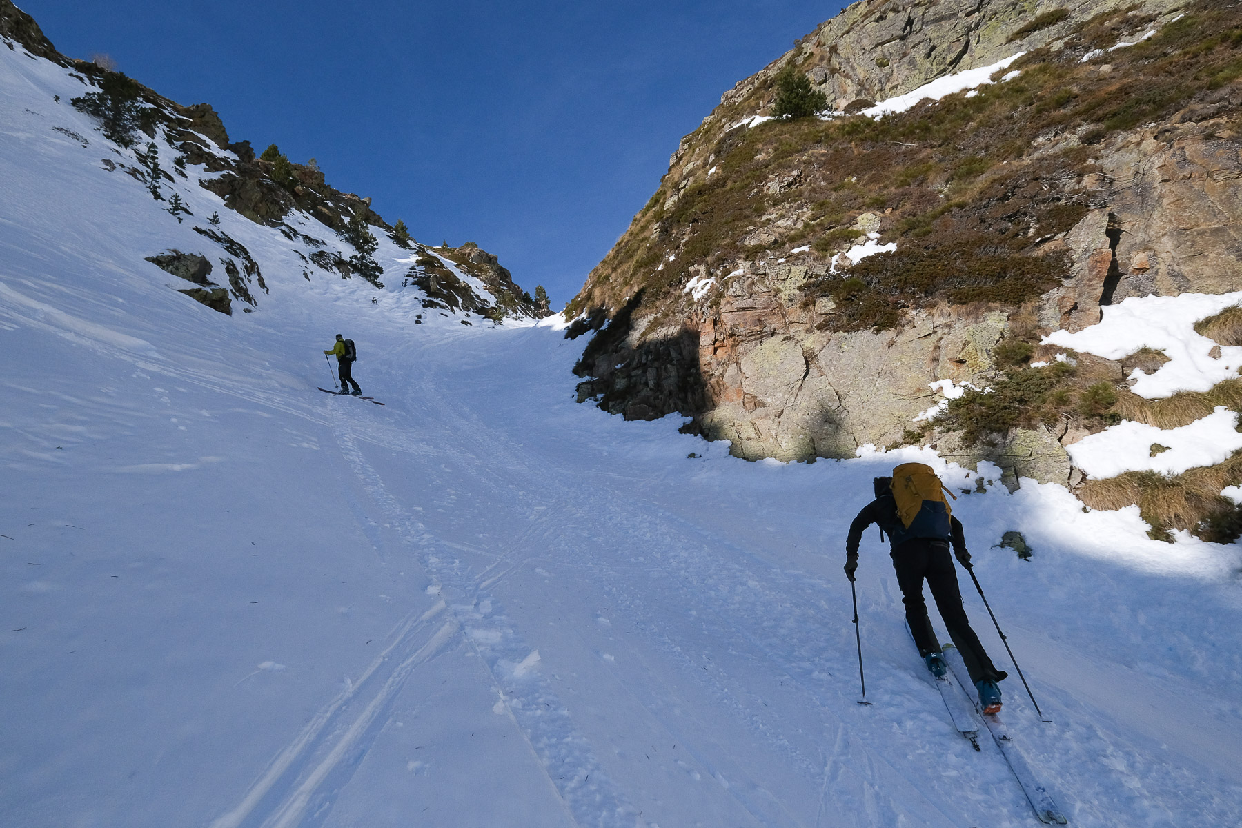
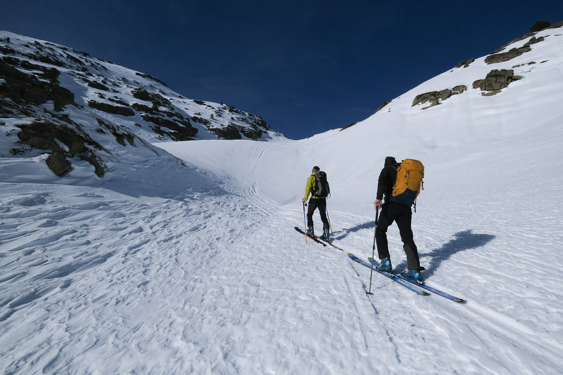
Depending on conditions, the top of the couloir may require knives as the slope is steep and the gully narrow.
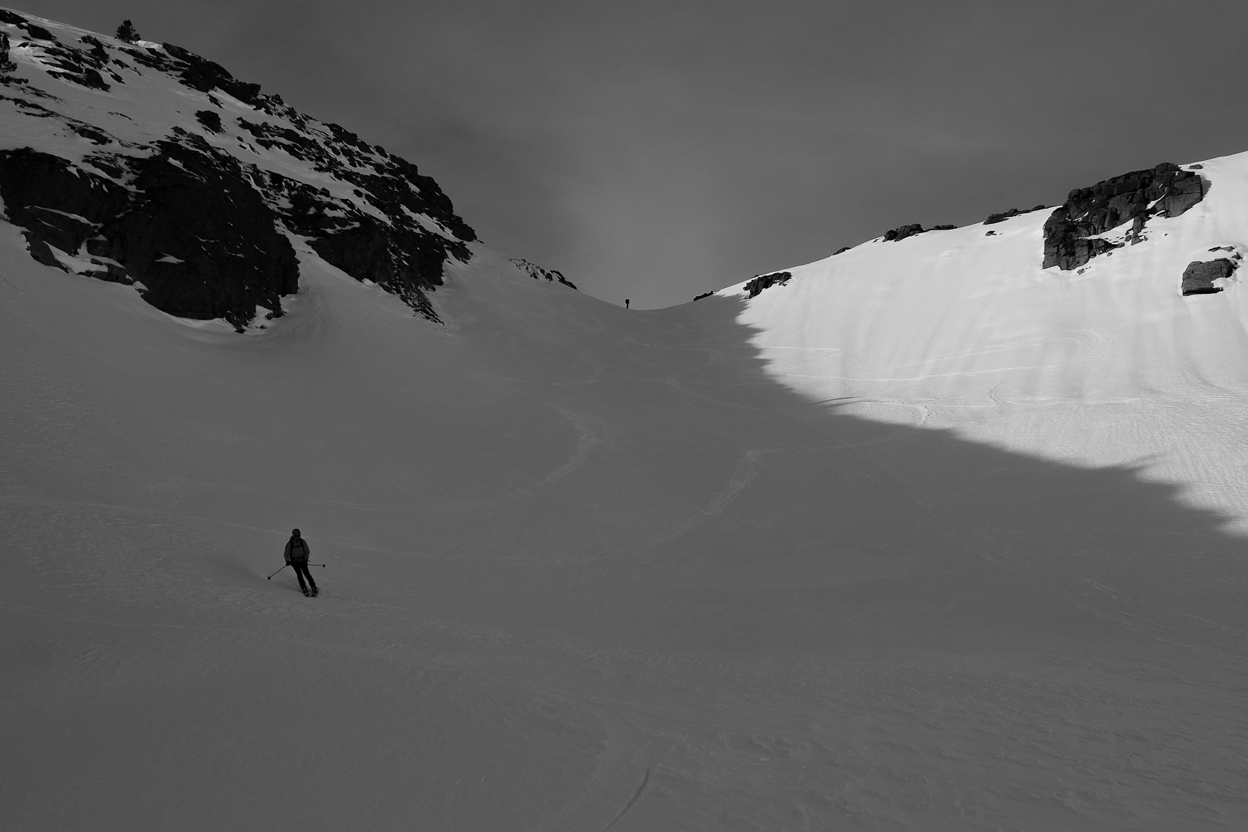
Climb northwards along the left bank of the riu del Manegor to reach the large upper basin which, if you continue north-eastwards, leads to the Port de Fontargente, the French border. Before embarking on the ascent to Fontargente, fork off completely to the left to enter a fairly obvious couloir, quite wide at the bottom but narrowing at the top. The slope is probably around 35° at the top. A large opening emerges above.
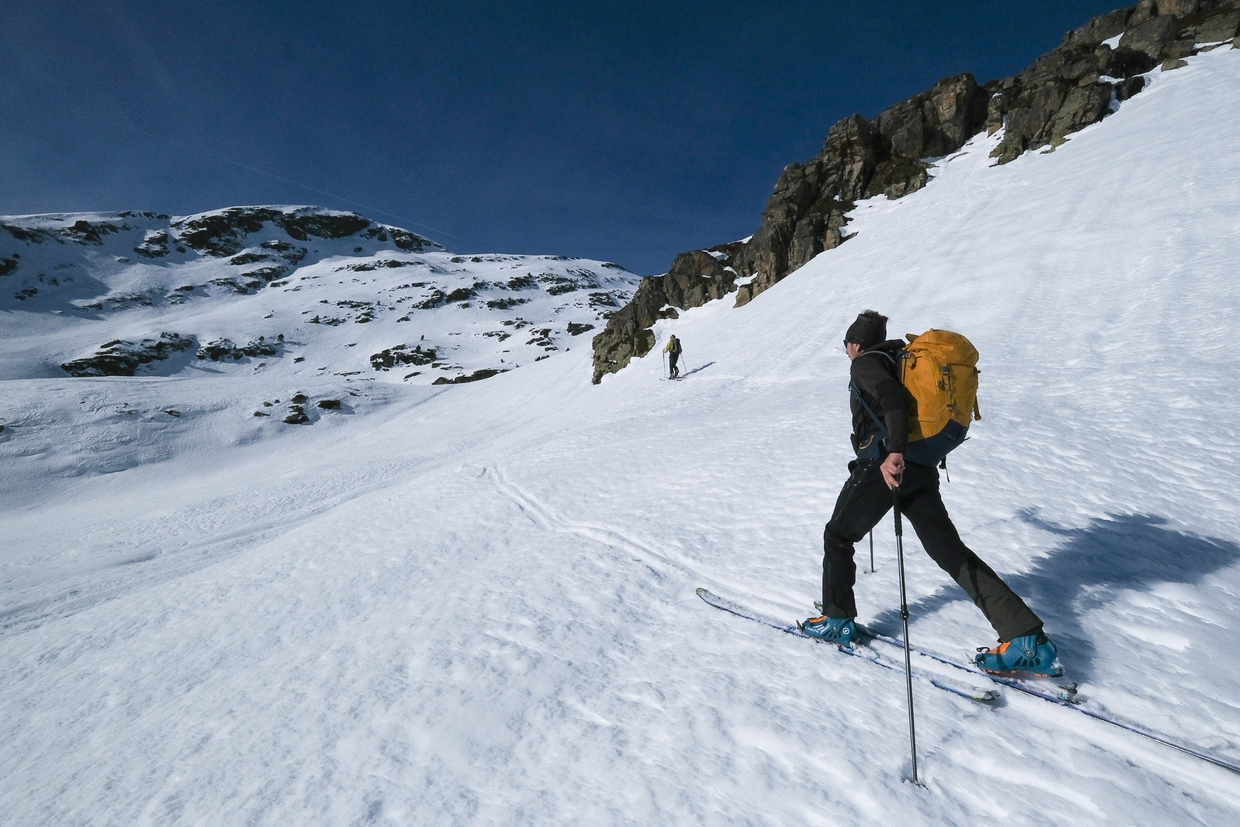
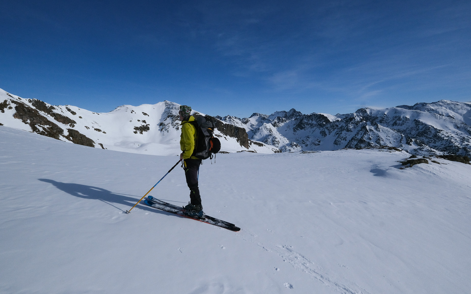
Continue to the west and cross, staying on the flank, to climb into the main valley. You'll gradually climb to the north-west, over several bumps, and you'll see the white Tossa de les Mussoles ridge above you, and the more massive, rocky Pic de la Coume d'Enfer summit to your right.
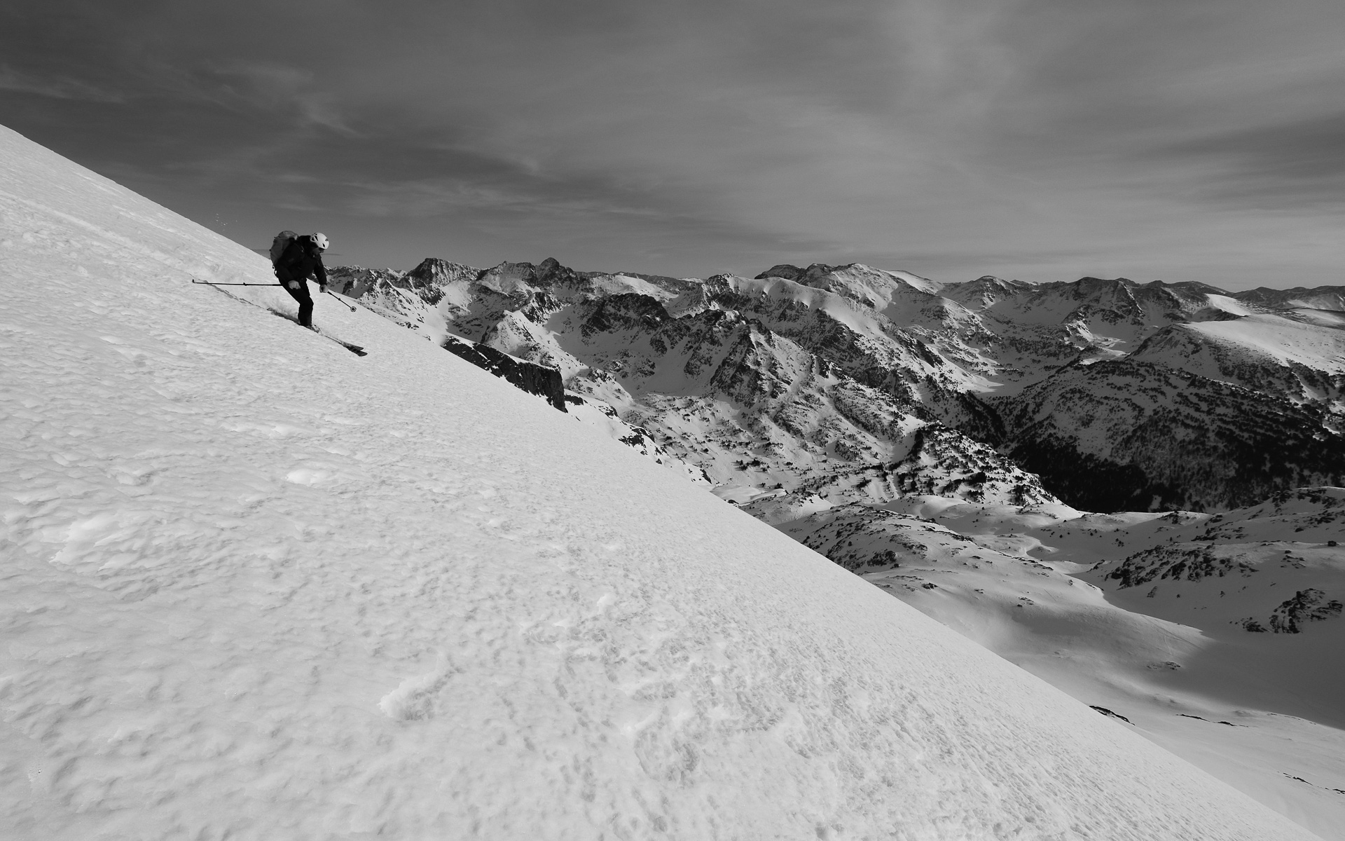
Climb the ridge and follow it, this time heading due north-east to the small summit. For the descent, the slope below the head is interesting, then the valley with a succession of small slopes to negotiate without difficulty. For the couloir, which is probably skiable, we went further to the right to end up in the Riu del Manegor basin. Let yourself slide down the last slope back to the road and the Pont de la Badalosa.
Let yourself glide along the snow-covered road, in some places pushing a little on the poles and in others with a few skating steps. It's not long before you're back at the starting parking lot.


Leave a Reply