


TOPO Hiking | CLIMBING7.COM
Publié le
 Partager sur WhatsApp
 Partager sur Twitter
Partager sur Instagram
Partager sur Twitter
Partager sur Instagram

 Partager sur Facebook
 Imprimer le topo
 Laisser un commentaire

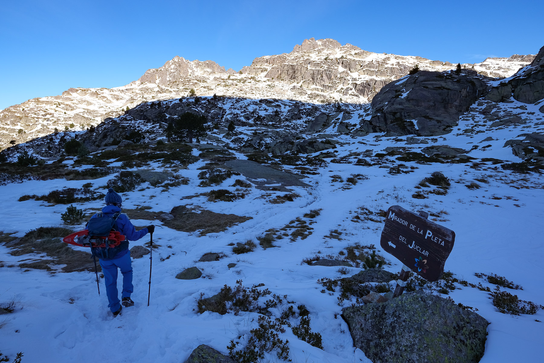
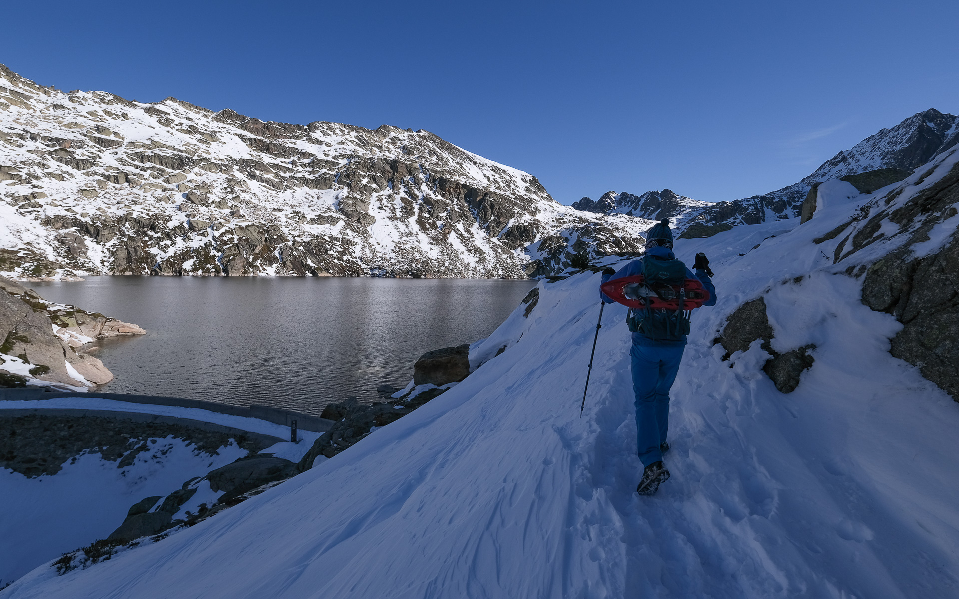
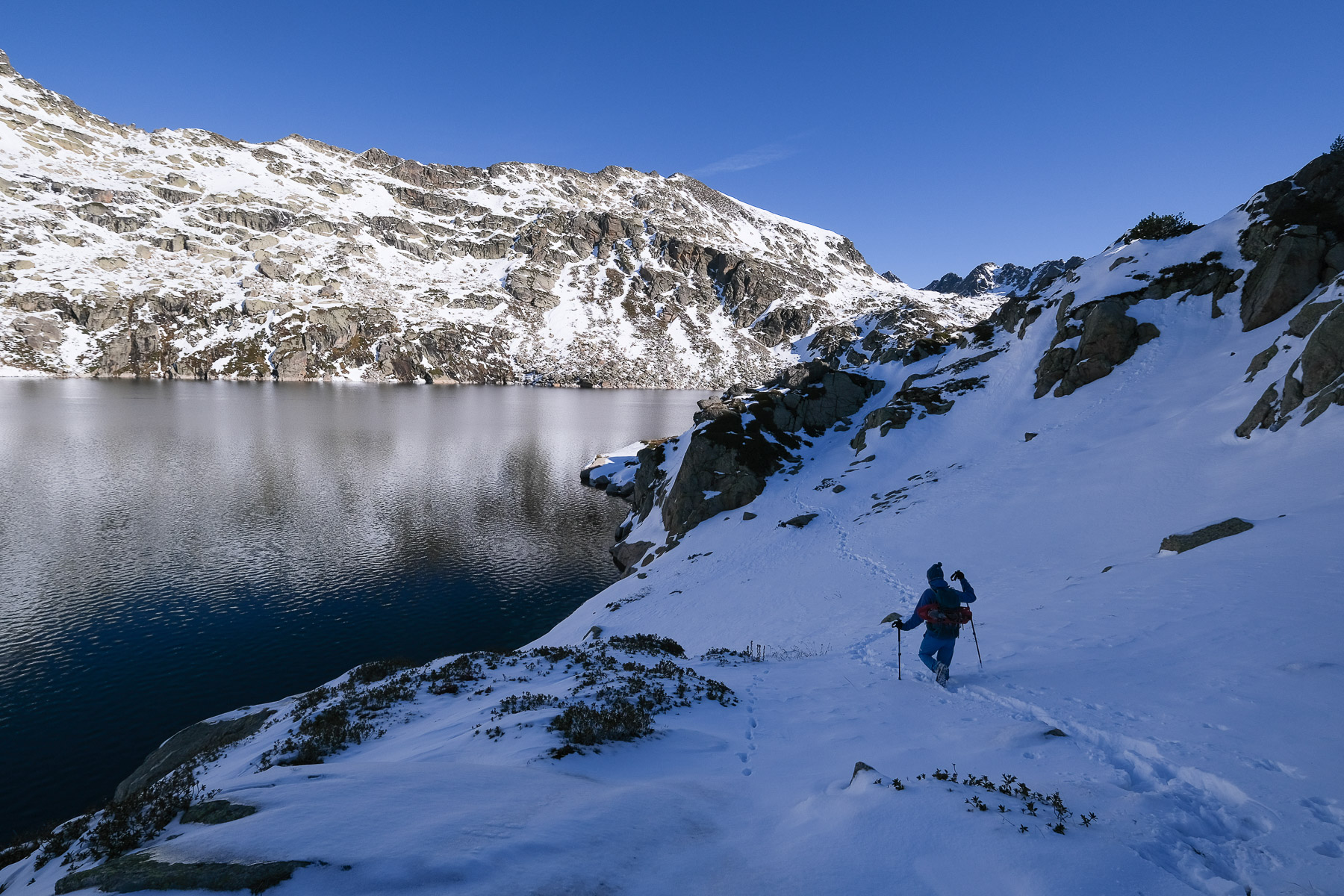
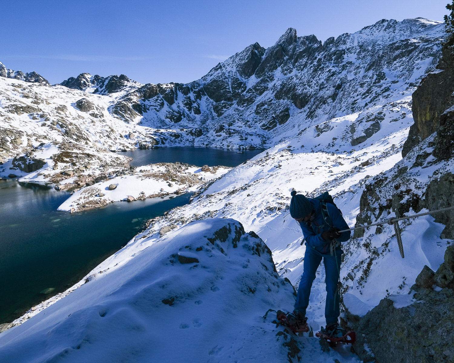
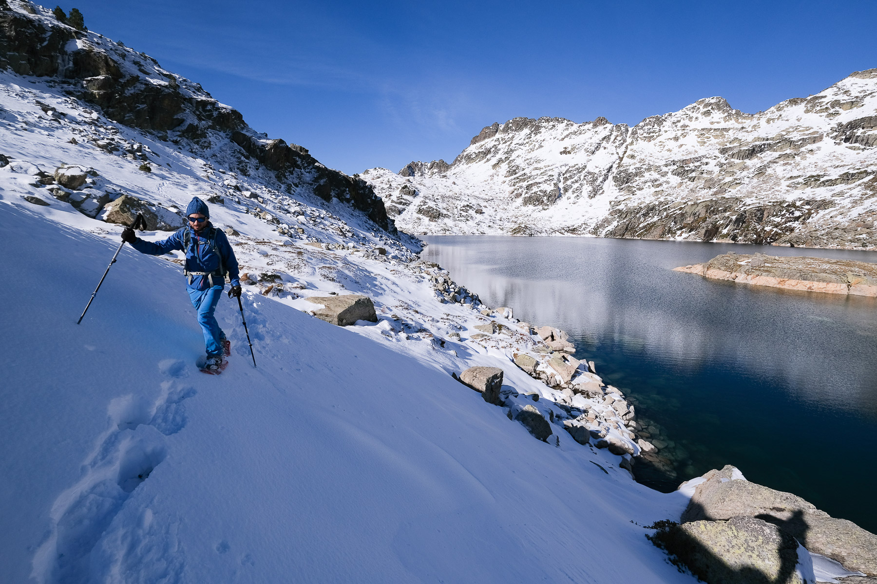
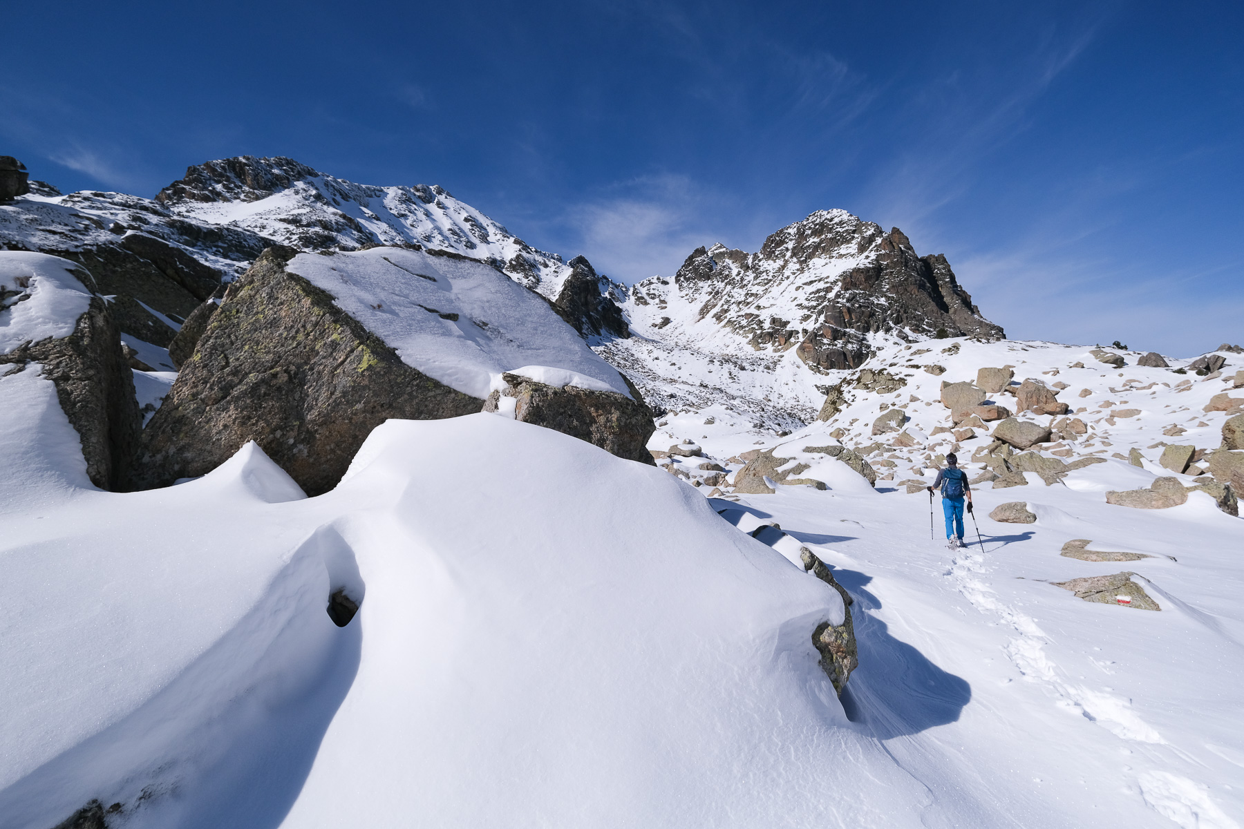
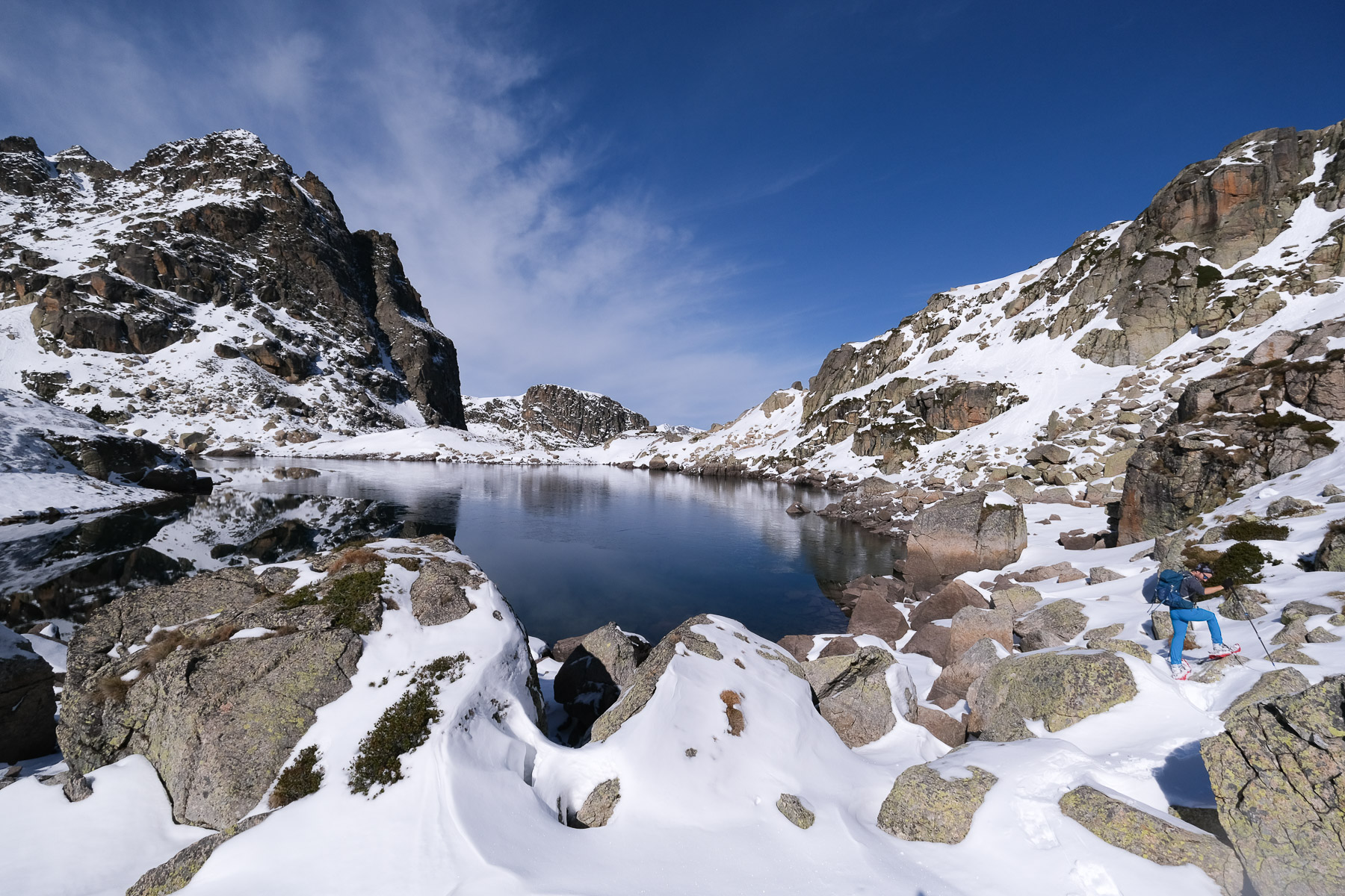
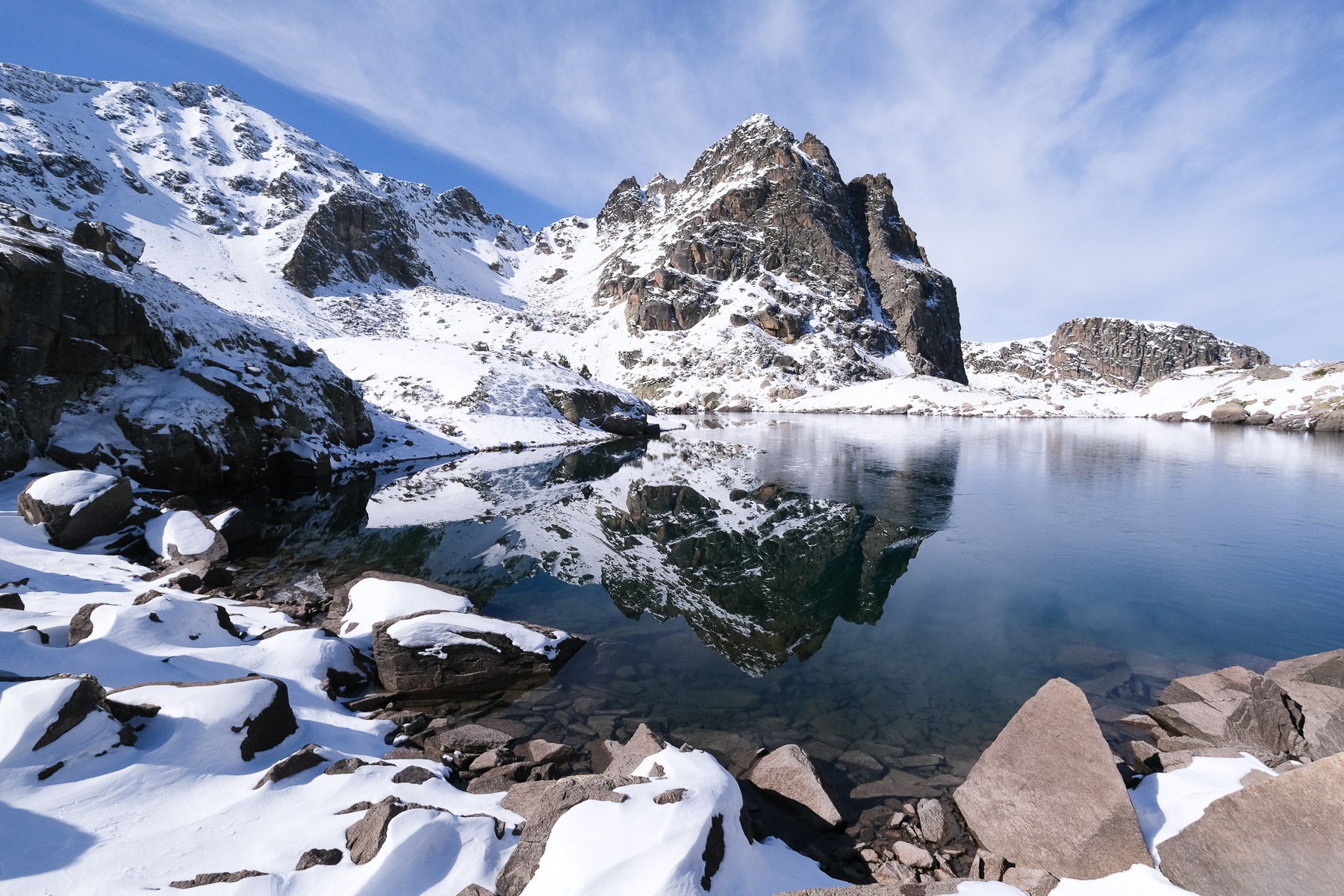
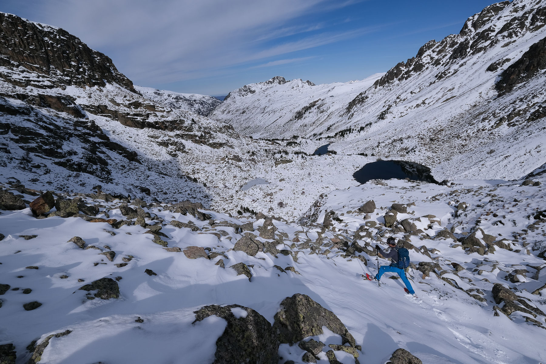
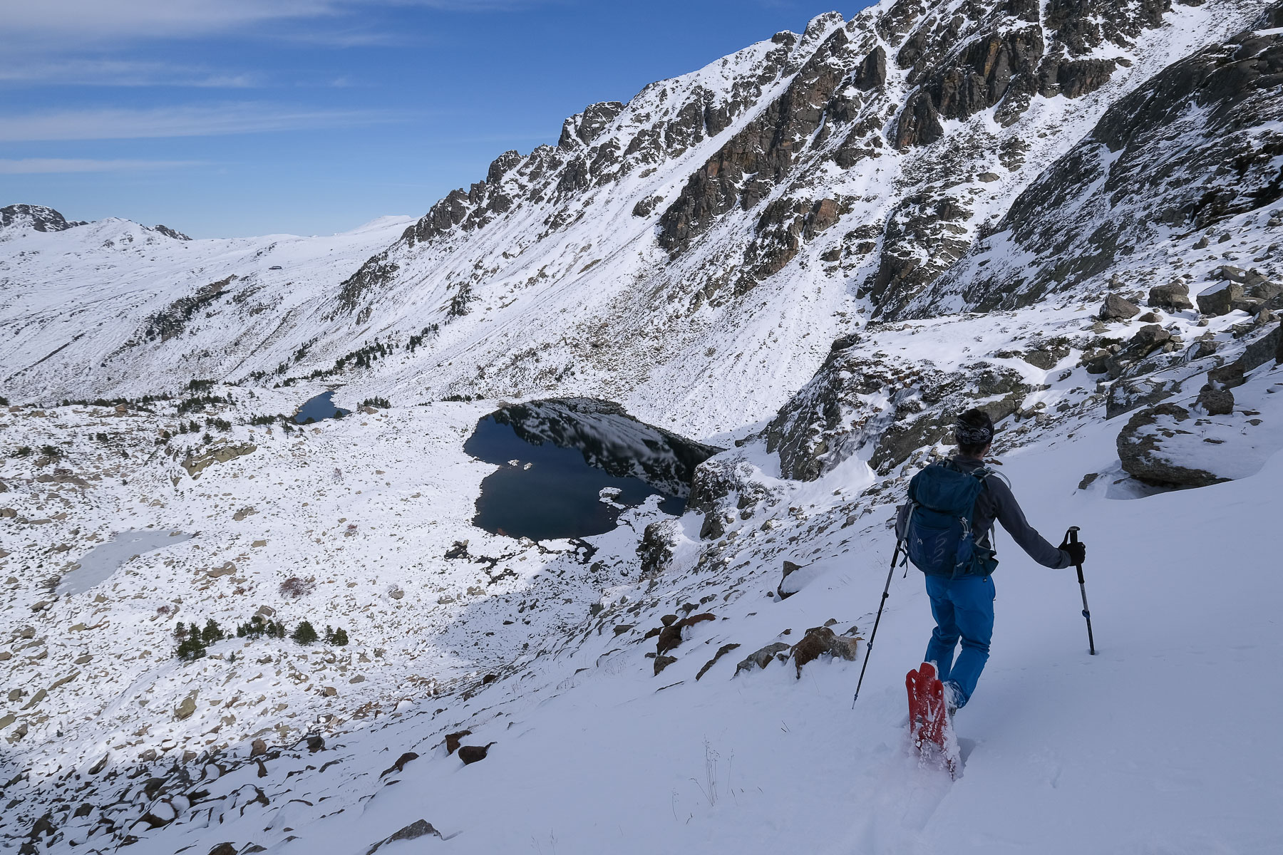
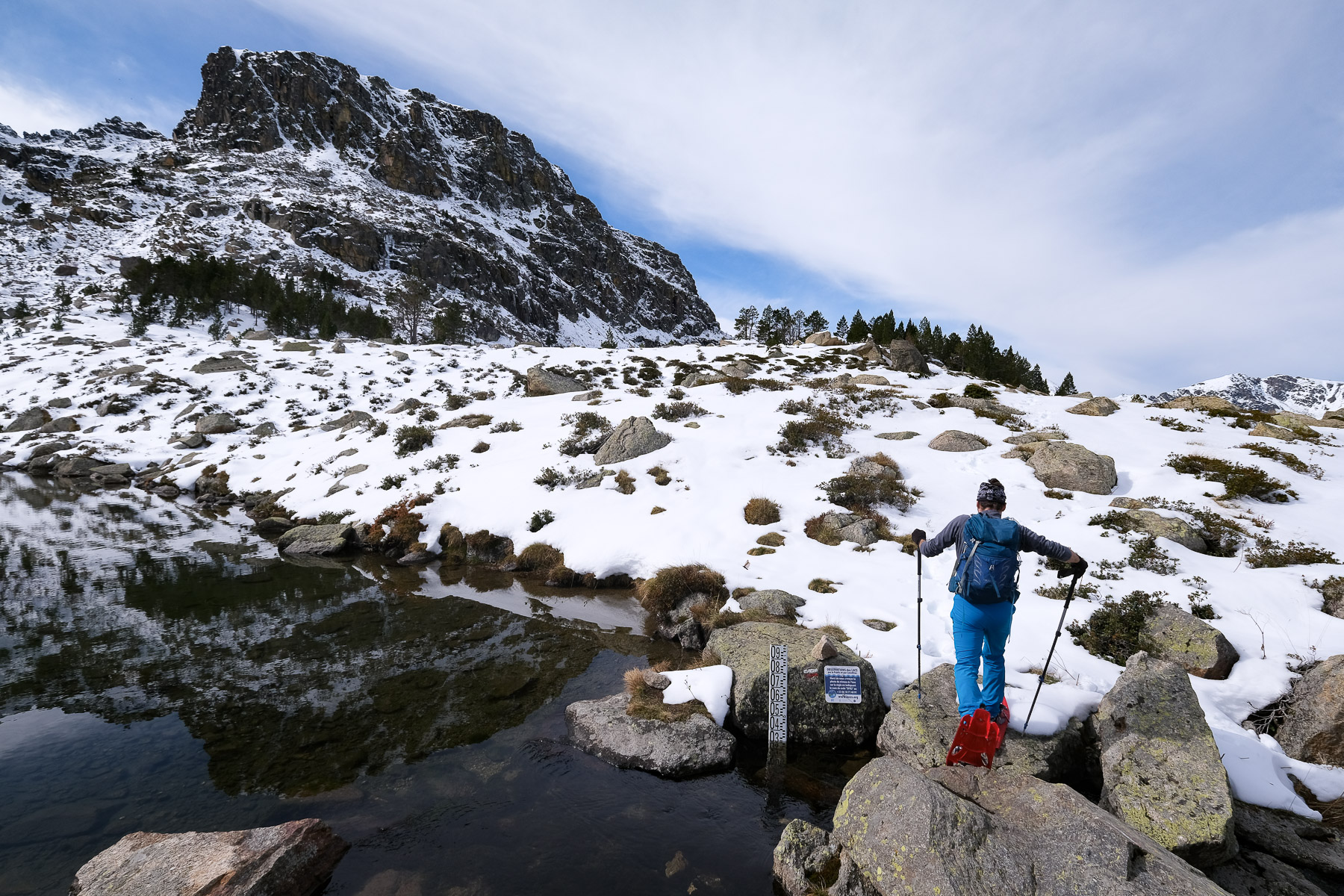
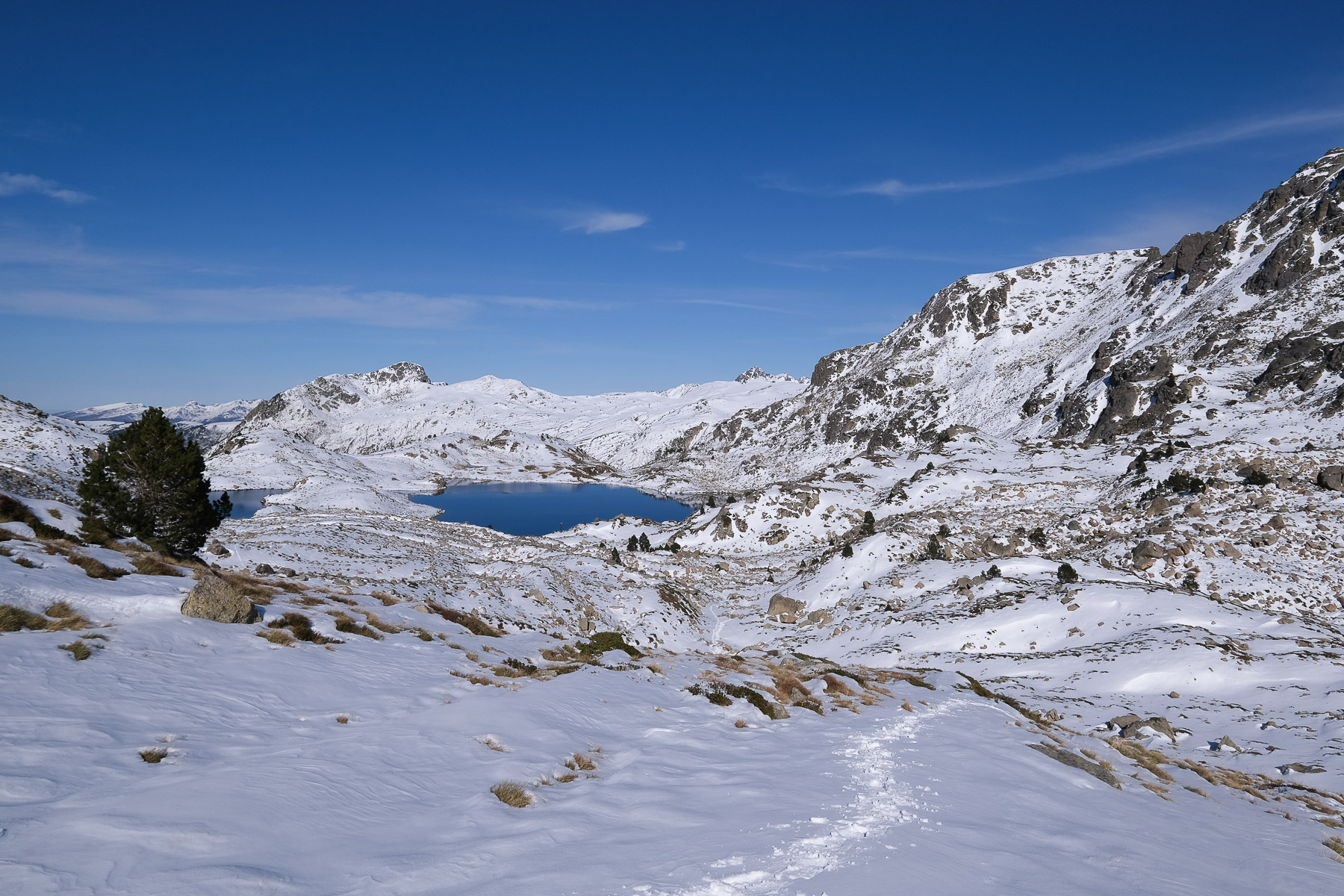
From Vall d'Incles, the proposed itinerary joins the upper Aston valley on the Ariège side, at the foot of Pic du Rulhe, before returning to Andorra via the port of Incles. Numerous high altitude ponds on both sides of the border and a variation of Juclar & Joclar on the way: collada de Juclar, pic Negre de Juclar, pic de Juclar, pic negre de Joclar, étang premier de Juclar, étang de Joclar, refuge de Juclar. The day's rather exceptional conditions made the route quite physical, with heavy autumn snow making progress tricky in places. The scenery, especially the play of reflections on the silvery surface of the ponds, is magnificent.
❱❱ Technical summary
Type ✦ Snowshoe hiking
Location ✦ Vall d'Incles
Region ✦ Canillo
Country ✦ Andorra
Direction ✦ South/North
Max altitude ✦ 2450m
Distance ✦ 14.5km
Vertical drop ✦ 845m
Difficulty ✦ E4 / T3 / R2
Duration ✦ 6h to 6h30
Interest ✦ ★★★
❱❱ Access to the place
Coming down from Pas de la Casa, just after passing through Soldeu, turn right at a large bend towards Vall d'Incles. Follow the small road north-east along the log of the riu d'Incles to the end. Park in the large parking lot on the right after crossing the torrent.
❱❱ Map & topo
❱❱ Itinéraire
From the parking lot, take the main path heading due east. You'll soon find signs for the Juclar refuge and Pic Escobes on your left. A little further on, the path crosses the torrent on the Pont del Travenc, the start of the ascent to the refuge.
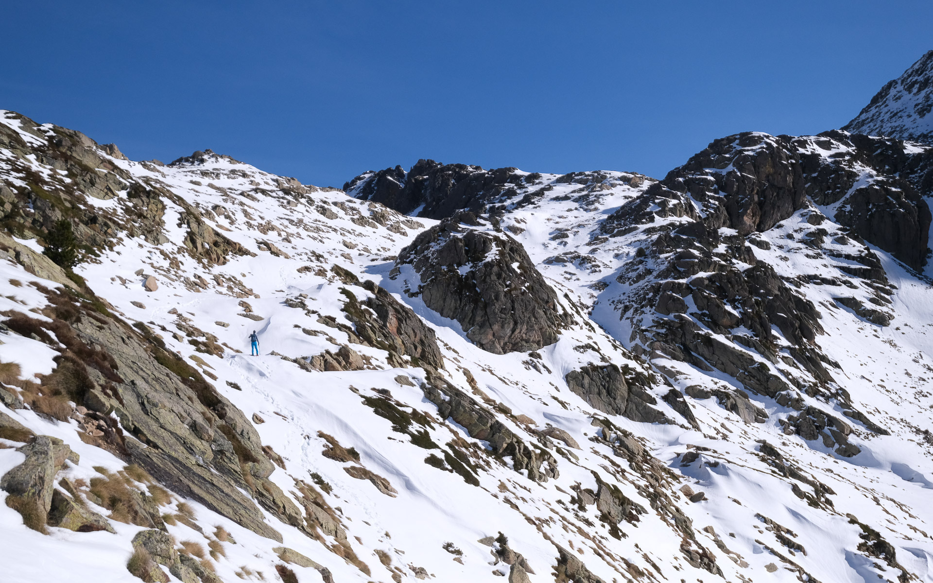
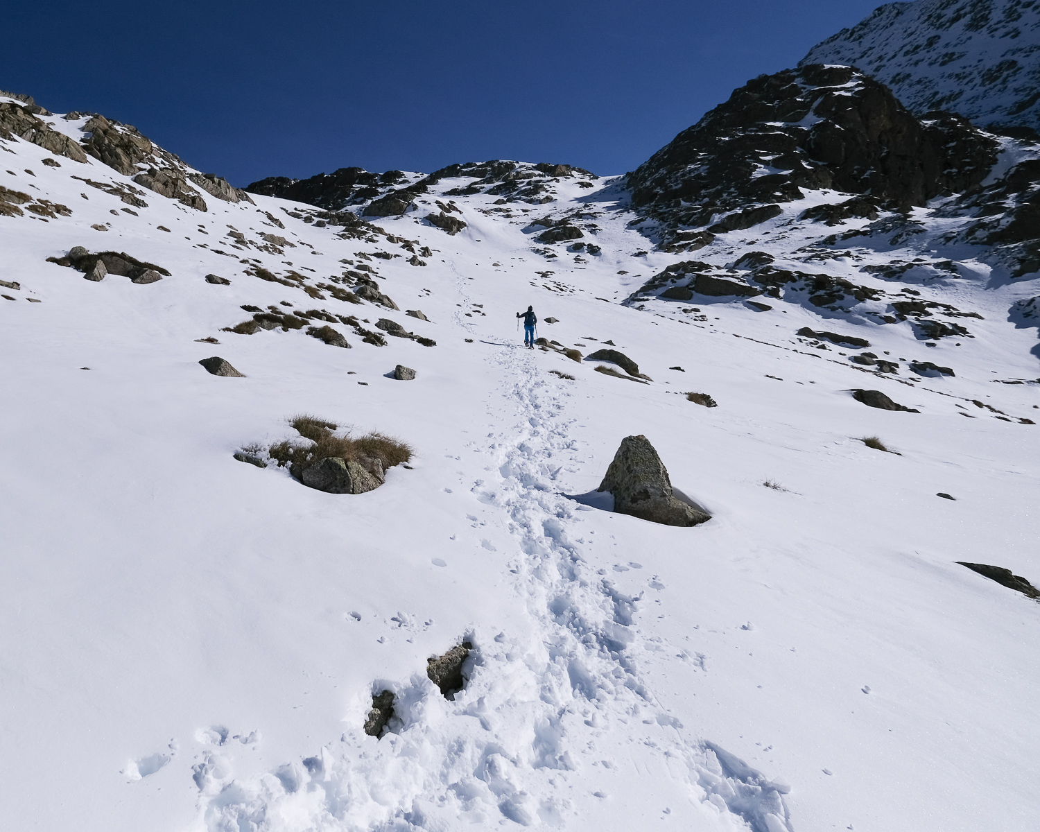
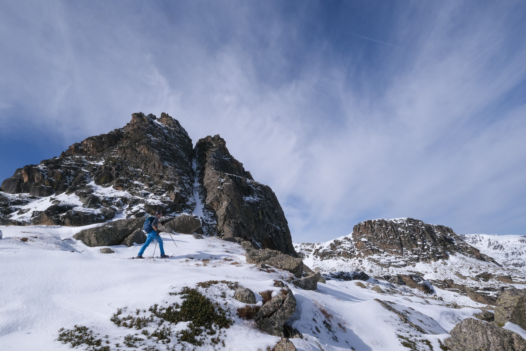
A loop with a reasonable altitude difference and no particular technical difficulties, but a considerable distance of almost 15 kms. Orientation is straightforward, as the trails used are marked in Andorra and France. Snow conditions must be taken into account for the times indicated for each section and for the total duration of the loop.
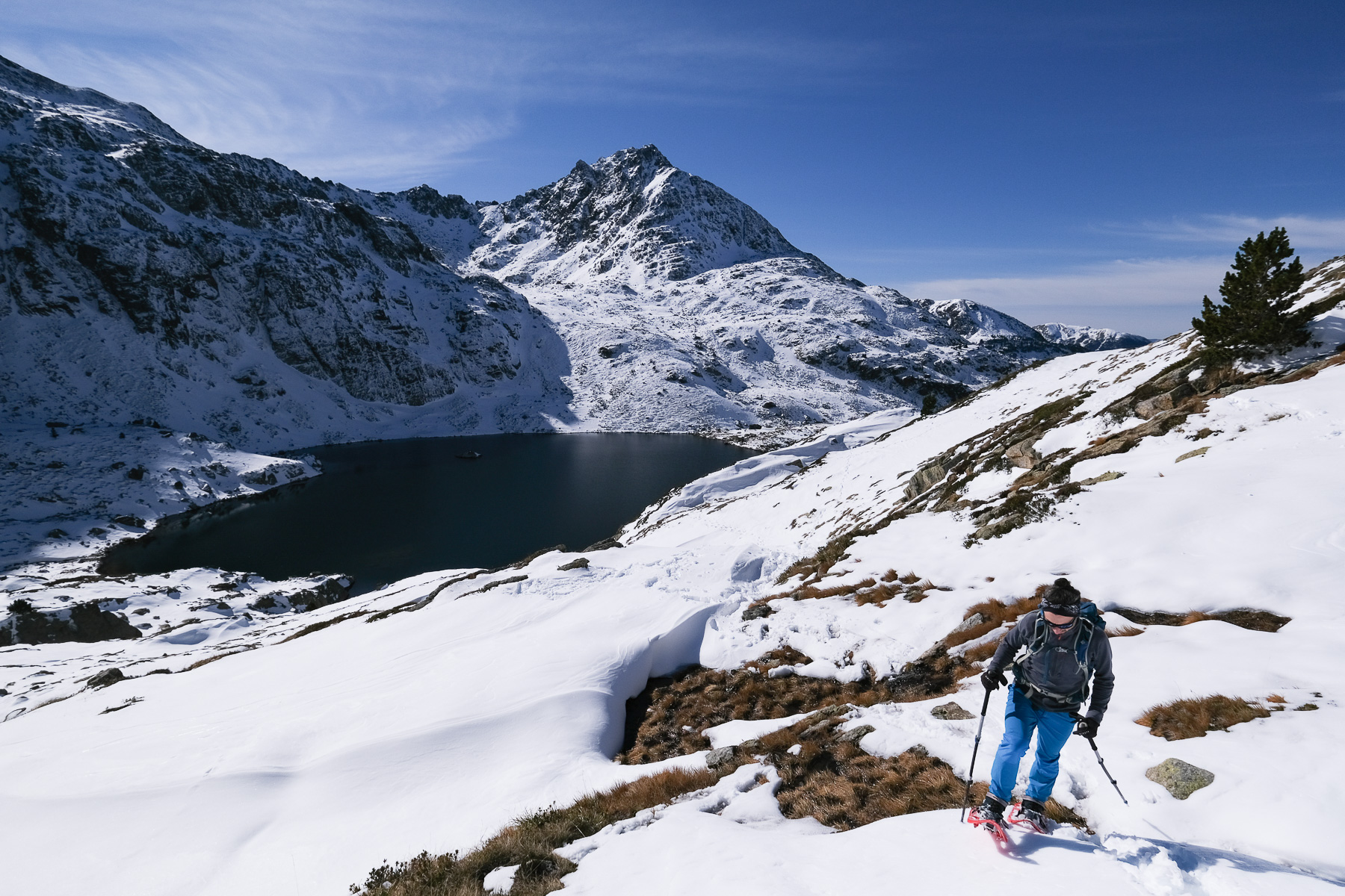
From the Port d'Incles, we switch back to the Andorran side. The path winds gently down the combe, then follows the riu de Manegor and plunges a little steeper to the bottom of the Vall d'Incles and the starting parking lot.
Itinerary for the ascent of Pic Escobes via the Juclar ponds from Vall d'Incles on randopyrennees.fr


Leave a Reply